Elevation of Siasong Rd, Sooke, BC V9Z 0C4, Canada
Location: Canada > British Columbia > Capital > Sooke > Sooke >
Longitude: -123.67300
Latitude: 48.390234
Elevation: 15m / 49feet
Barometric Pressure: 101KPa
Elevation Map:
Satellite Map:
Related Photos:

Round and Round

Whiffin Spit (Quimper Park in British Columbia) - (Selected by GETTY IMAGES) & (Selected for FLICKR EXPLORE)
Sunrise at Sooke Harbour House

Morning Rising on the Olympics

Hatley Castle National Historic Site view from Italian Gardens

Vancouver Island

Cars to the Left of me Bikes to the Right

Paved with Concrete

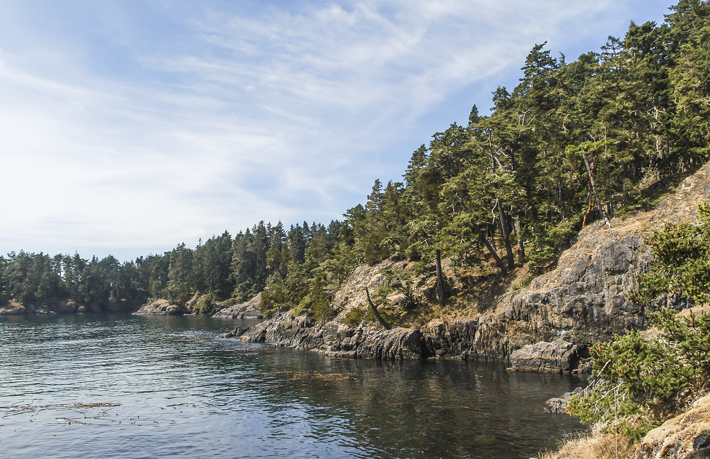
Sooke Basin Views

Hermit of Wells

Sitting Lady Falls

Before & After

On the Galloping Goose Trail

Royal Roads Selective Colour

The (New) Great Trail on Vancouver Island

View From The Top

Goldstream Village, Vancouver Island, BC

Special Guest
A Bald Eagle on the Hunt for Gold (HDR)

Langford BC Views from West Hills Development Site

Correct Me If I'm Wrong

Winter Dock

2009-08-17_12-22-34 Islet

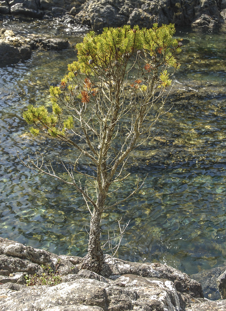
2009-08-17_12-10-20 Iron Mine Bay

2009-08-17_12-35-00 Coastal Trail

2009-08-17_12-36-08 East Sooke Park

2009-08-17_11-50-02 Iron Mine Bay
2009-08-17_12-00-16 Iron Mine Bay
2009-08-17_12-17-48 Rocky Coast
2009-08-17_12-22-12 East Sooke Park

West Coast Rainforest

Even Flow, Sooke River, Vancouver Island, BC, Canada

2009-08-17_11-59-34 Rocky Shore

2009-08-17_11-57-24 East Sooke Park
2009-08-17_12-25-12 Just Getting Started

2009-08-17_12-36-22 East Sooke Park
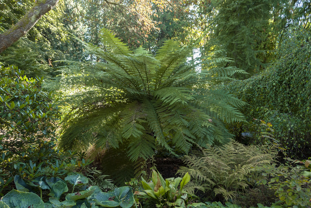
2018-09-26_15-06-04 Fern Garden

Arbutus Canyon Trestle Goldstream Park

Arbutus Canyon Trestle Goldstream Park

2009-08-17_11-56-30 Beach at Iron Mine Bay

Arbutus Canyon Trestle Goldstream Park

Pacific Northwest Coast Temperate Rainforest
Topographic Map of Siasong Rd, Sooke, BC V9Z 0C4, Canada
Find elevation by address:

Places near Siasong Rd, Sooke, BC V9Z 0C4, Canada:
5661 Sooke Rd
5655 Sooke Rd
5655 Sooke Rd
5655 Sooke Rd
35 Seagirt Rd
25 Seagirt Rd
6094 East Sooke Road
Sooke
1349 Copper Mine Rd
1349 Copper Mine Rd
6451 Willowpark Way
2537 Nickson Way
2532 Nickson Way
6563 Grant Rd E
2436 Sunriver Way
2430 Driftwood Dr
6238 Grant Rd W
5080 Sooke Rd
6765 Rhodonite Dr
740 Seedtree Rd
Recent Searches:
- Elevation of Corso Fratelli Cairoli, 35, Macerata MC, Italy
- Elevation of Tallevast Rd, Sarasota, FL, USA
- Elevation of 4th St E, Sonoma, CA, USA
- Elevation of Black Hollow Rd, Pennsdale, PA, USA
- Elevation of Oakland Ave, Williamsport, PA, USA
- Elevation of Pedrógão Grande, Portugal
- Elevation of Klee Dr, Martinsburg, WV, USA
- Elevation of Via Roma, Pieranica CR, Italy
- Elevation of Tavkvetili Mountain, Georgia
- Elevation of Hartfords Bluff Cir, Mt Pleasant, SC, USA