Elevation map of Willow Creek No. 26, AB, Canada
Location: Canada > Alberta > Division No. 3 >
Longitude: -113.77755
Latitude: 49.9656508
Elevation: 1090m / 3576feet
Barometric Pressure: 89KPa
Elevation Map:
Satellite Map:
Related Photos:

Porcupine Hills

Grandmother's Hill

Wild sunflowers
Riders on the #storm #prairies #ab #canada #camping

Prairie Sunrise

Prairie Sunrise

West of Claresholm

Natural Gas Rig

Gravel Road

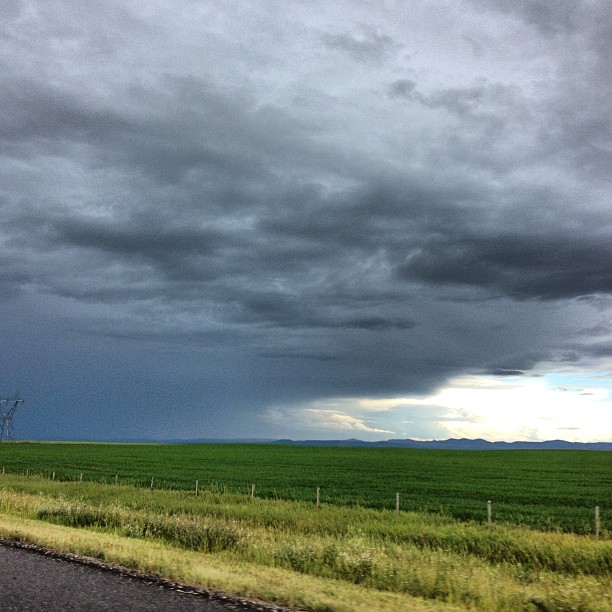
Prairie Clouds

Fireplace Rocks

West of Claresholm

Porcupine Hills

Fireplace Rocks

Dawn at the Farm
Topographic Map of Willow Creek No. 26, AB, Canada
Find elevation by address:

Places in Willow Creek No. 26, AB, Canada:
Places near Willow Creek No. 26, AB, Canada:
Claresholm
Head-smashed-in Buffalo Jump World Heritage Site
Fort Macleod
Cayley
Division No. 3
5 St SE, High River, AB T1V 2A8, Canada
124 4 Ave Sw
High River
Vulcan
Vulcan County
203 Moon River Dr
Carmangay
Camburn St, Carmangay, AB T0L 0N0, Canada
King St, Monarch, AB T0L 1M0, Canada
Monarch
401 10b St
1133 Pacific Cir W
1210 Pacific Cir W
Alberta 5
954 Miners Blvd W
Recent Searches:
- Elevation of Corso Fratelli Cairoli, 35, Macerata MC, Italy
- Elevation of Tallevast Rd, Sarasota, FL, USA
- Elevation of 4th St E, Sonoma, CA, USA
- Elevation of Black Hollow Rd, Pennsdale, PA, USA
- Elevation of Oakland Ave, Williamsport, PA, USA
- Elevation of Pedrógão Grande, Portugal
- Elevation of Klee Dr, Martinsburg, WV, USA
- Elevation of Via Roma, Pieranica CR, Italy
- Elevation of Tavkvetili Mountain, Georgia
- Elevation of Hartfords Bluff Cir, Mt Pleasant, SC, USA