Elevation of 10B St, Nobleford, AB T0L 1S0, Canada
Location: Canada > Alberta > Division No. 2 >
Longitude: -113.05103
Latitude: 49.8849803
Elevation: 984m / 3228feet
Barometric Pressure: 90KPa
Elevation Map:
Satellite Map:
Related Photos:
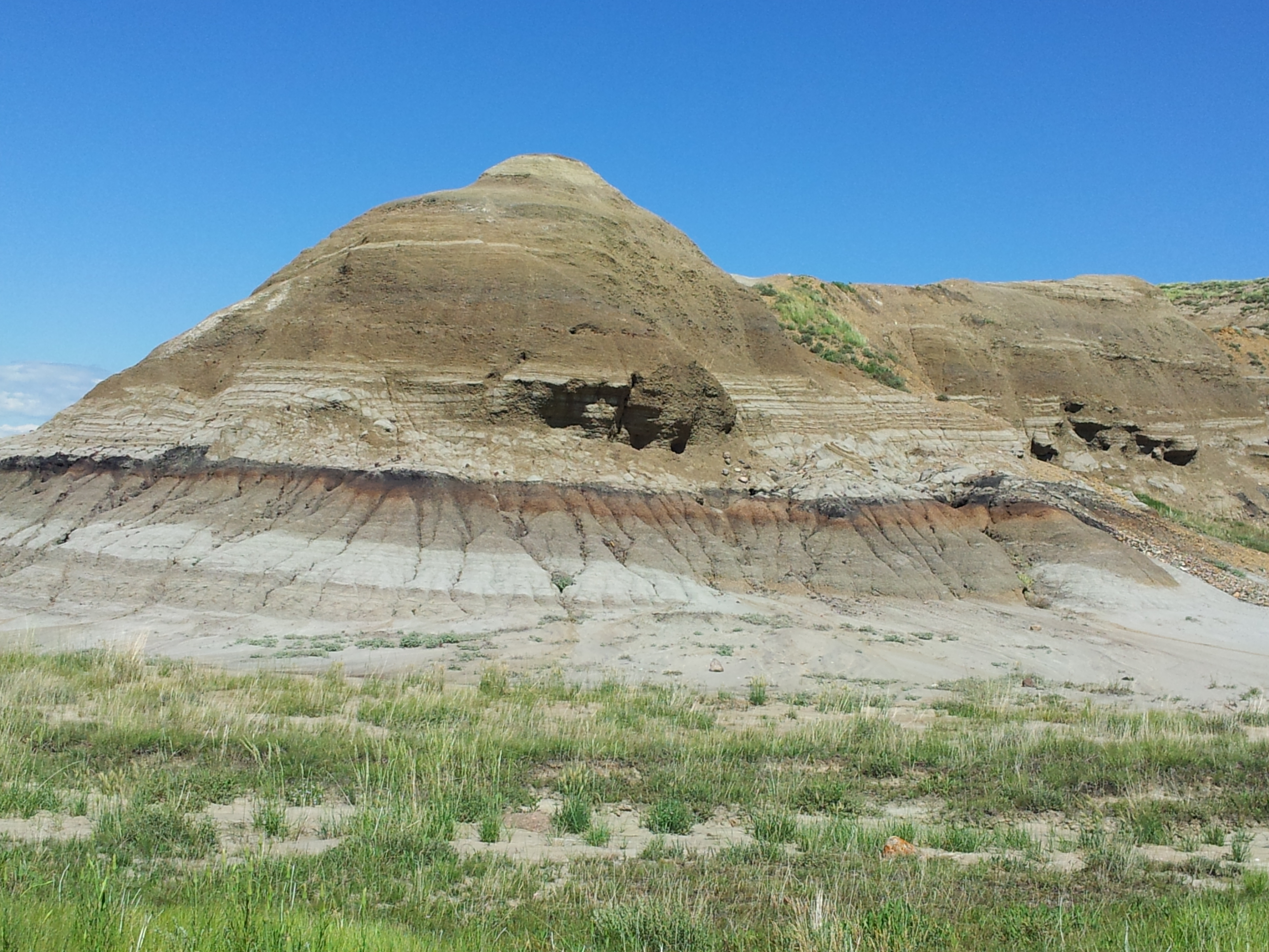
Scabby Butte
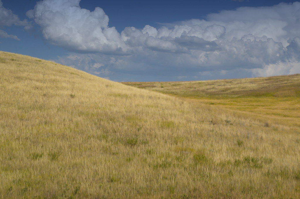
A windswept land
Dry Prairie Landscape
Southern Alberta
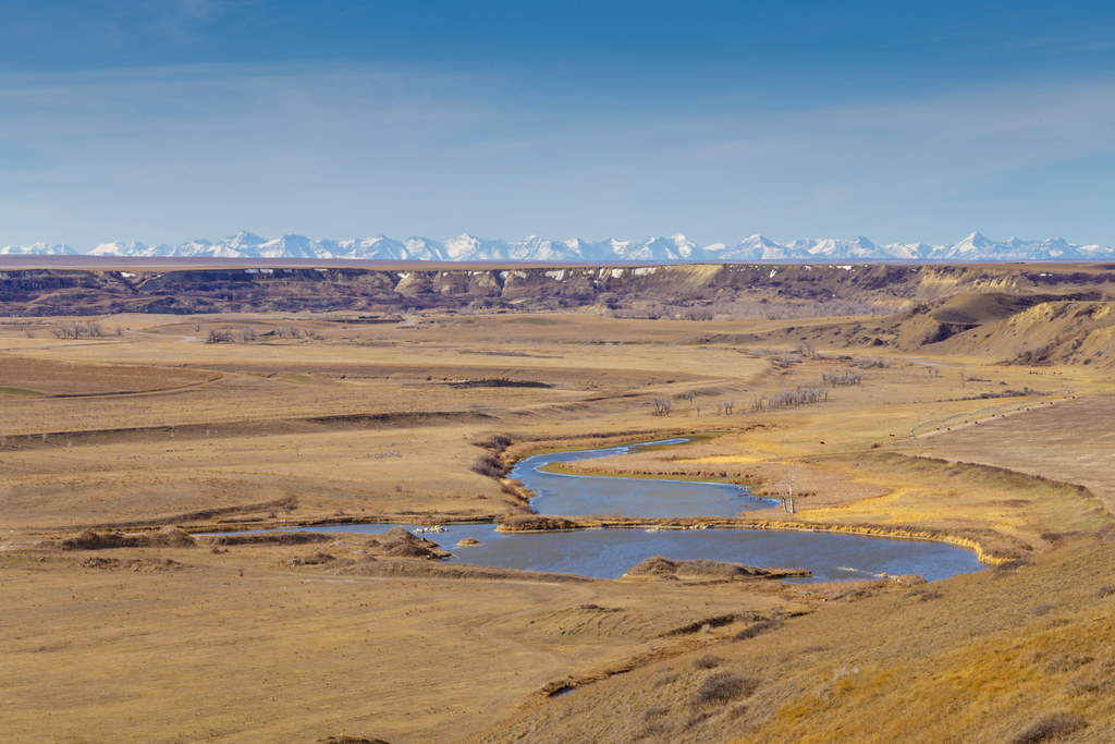
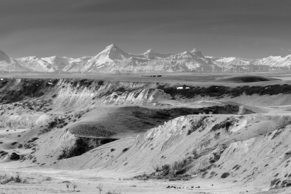
The Coulee

crowsnest mountain. alberta.
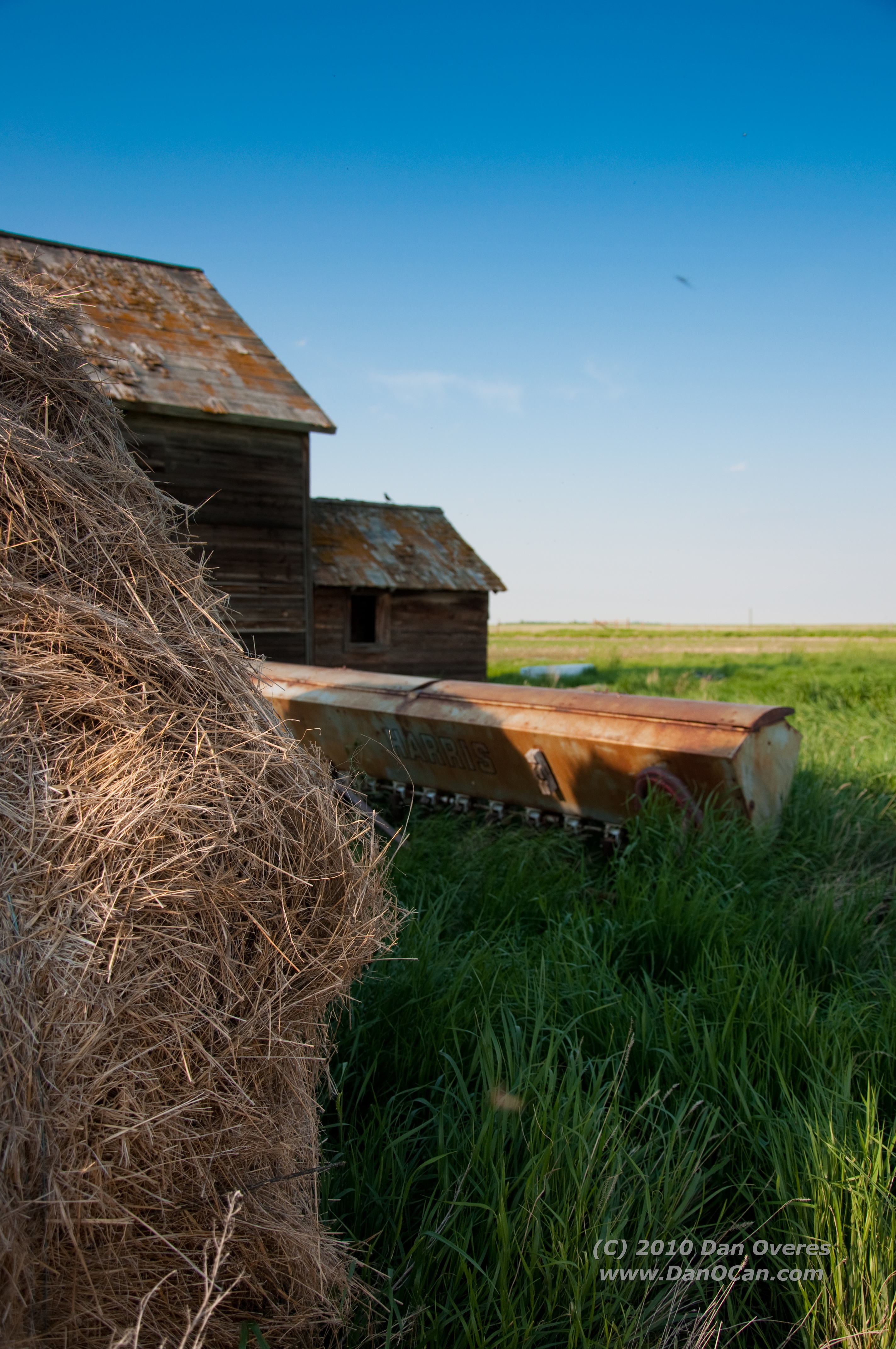
Hay!

Hello!
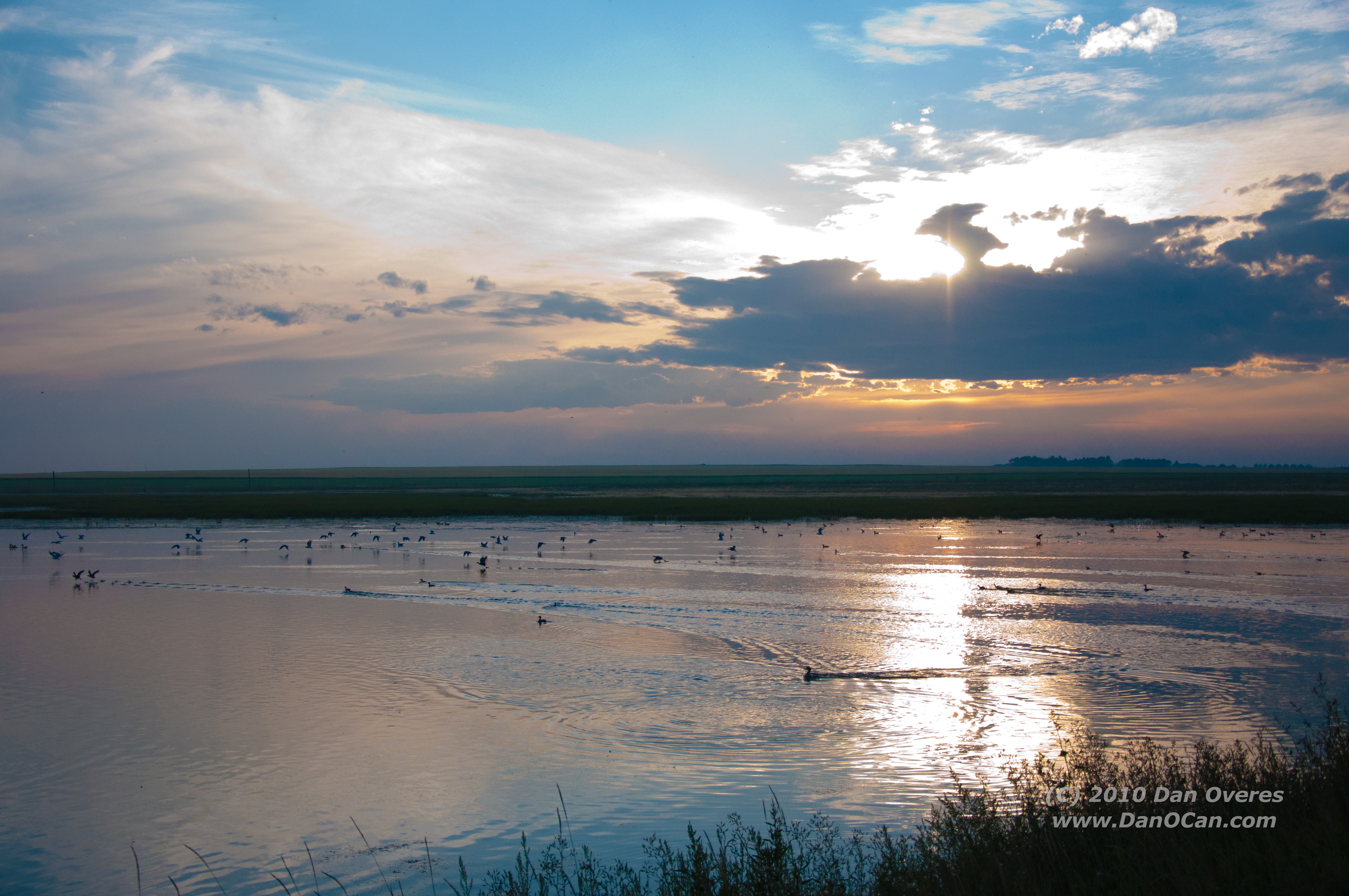
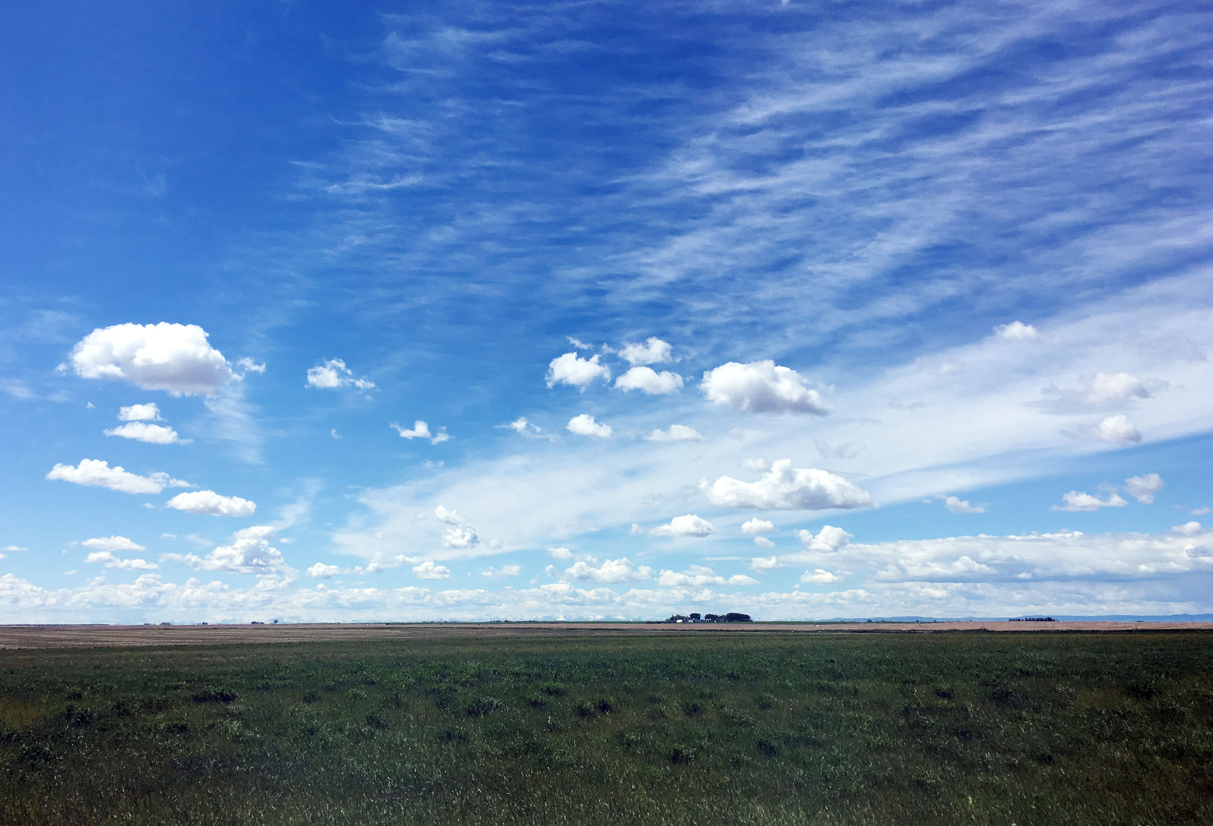
Alberta Sunset
Topographic Map of 10B St, Nobleford, AB T0L 1S0, Canada
Find elevation by address:

Places near 10B St, Nobleford, AB T0L 1S0, Canada:
Monarch
King St, Monarch, AB T0L 1M0, Canada
203 Moon River Dr
Diamond City
1133 Pacific Cir W
1210 Pacific Cir W
Carmangay
Camburn St, Carmangay, AB T0L 0N0, Canada
193 Ojibwa Rd W
954 Miners Blvd W
Lethbridge
1516 15 Ave N
Winston Churchill
Riverstone
90 Riverford Cl W
419 14 St S
1250 8 Ave S
Rivergrove Chase West
Upper Eastside
The Canyons
Recent Searches:
- Elevation of Corso Fratelli Cairoli, 35, Macerata MC, Italy
- Elevation of Tallevast Rd, Sarasota, FL, USA
- Elevation of 4th St E, Sonoma, CA, USA
- Elevation of Black Hollow Rd, Pennsdale, PA, USA
- Elevation of Oakland Ave, Williamsport, PA, USA
- Elevation of Pedrógão Grande, Portugal
- Elevation of Klee Dr, Martinsburg, WV, USA
- Elevation of Via Roma, Pieranica CR, Italy
- Elevation of Tavkvetili Mountain, Georgia
- Elevation of Hartfords Bluff Cir, Mt Pleasant, SC, USA