Elevation of Williams Branch, Kentucky, USA
Location: United States > Kentucky > Bell County > Calvin >
Longitude: -83.630851
Latitude: 36.7019442
Elevation: 426m / 1398feet
Barometric Pressure: 96KPa
Elevation Map:
Satellite Map:
Related Photos:

Hunting From Above
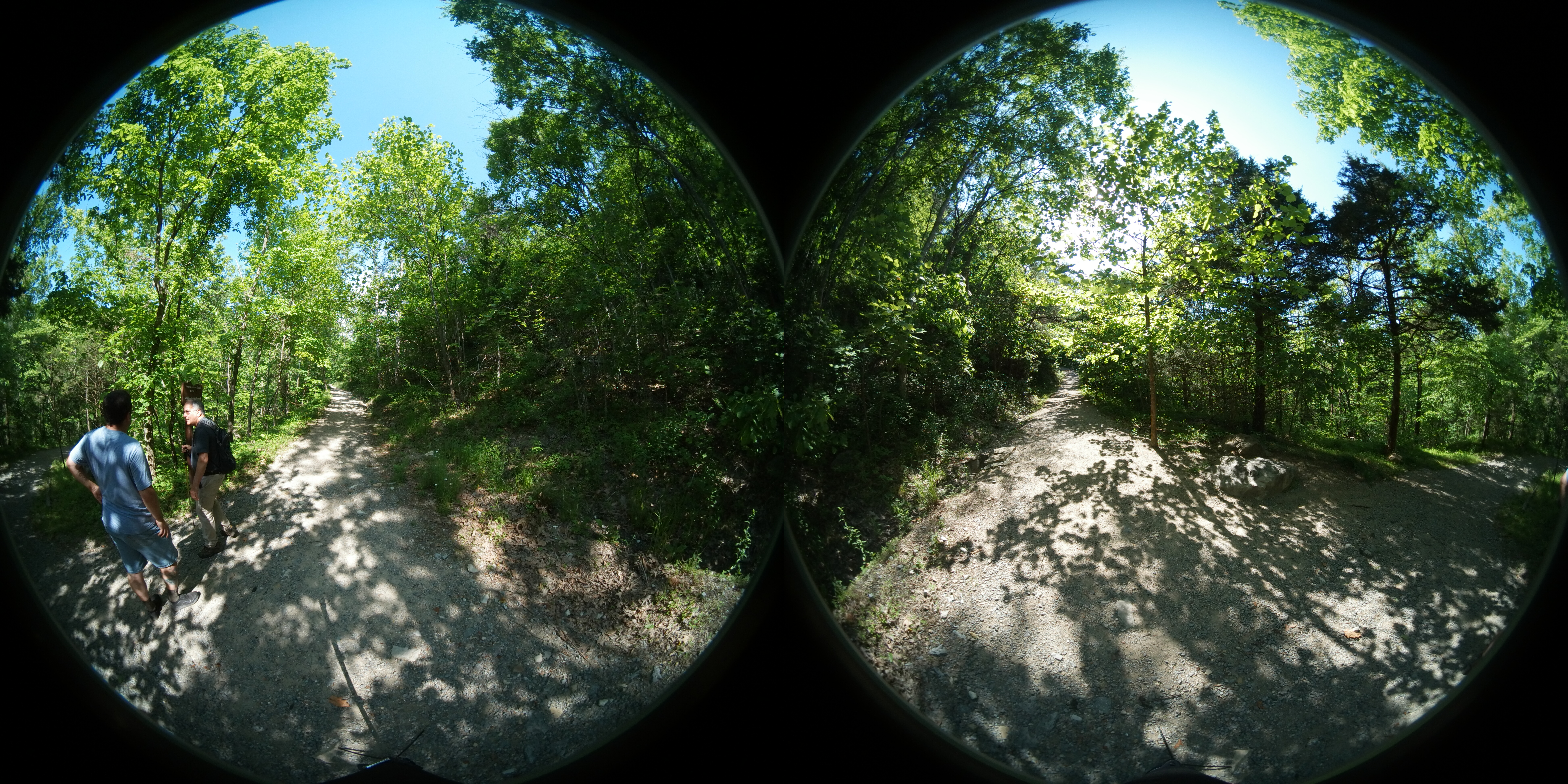
Cumberland Gap 360
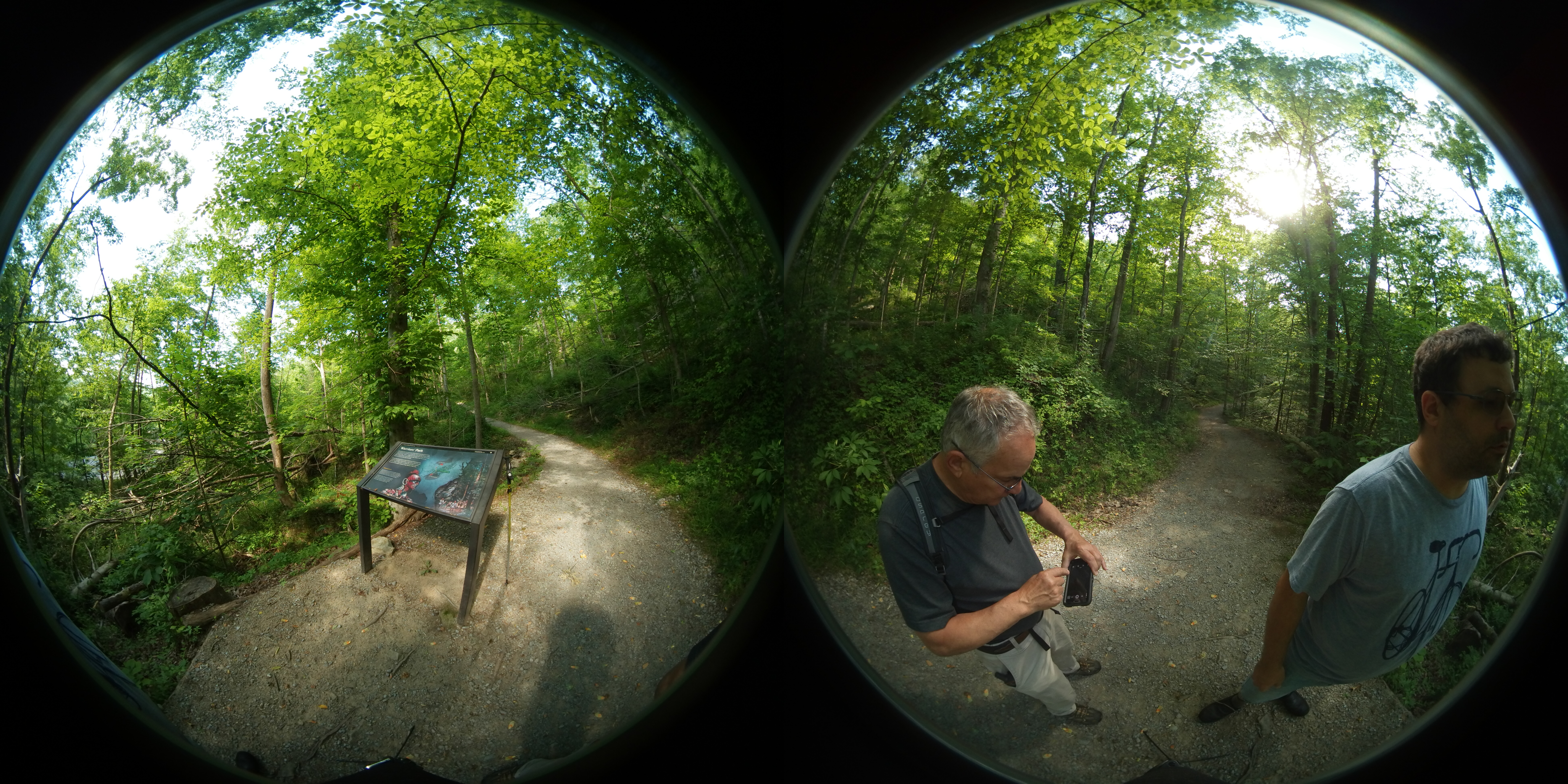
Cumberland Gap 360
Cumberland Gap 360
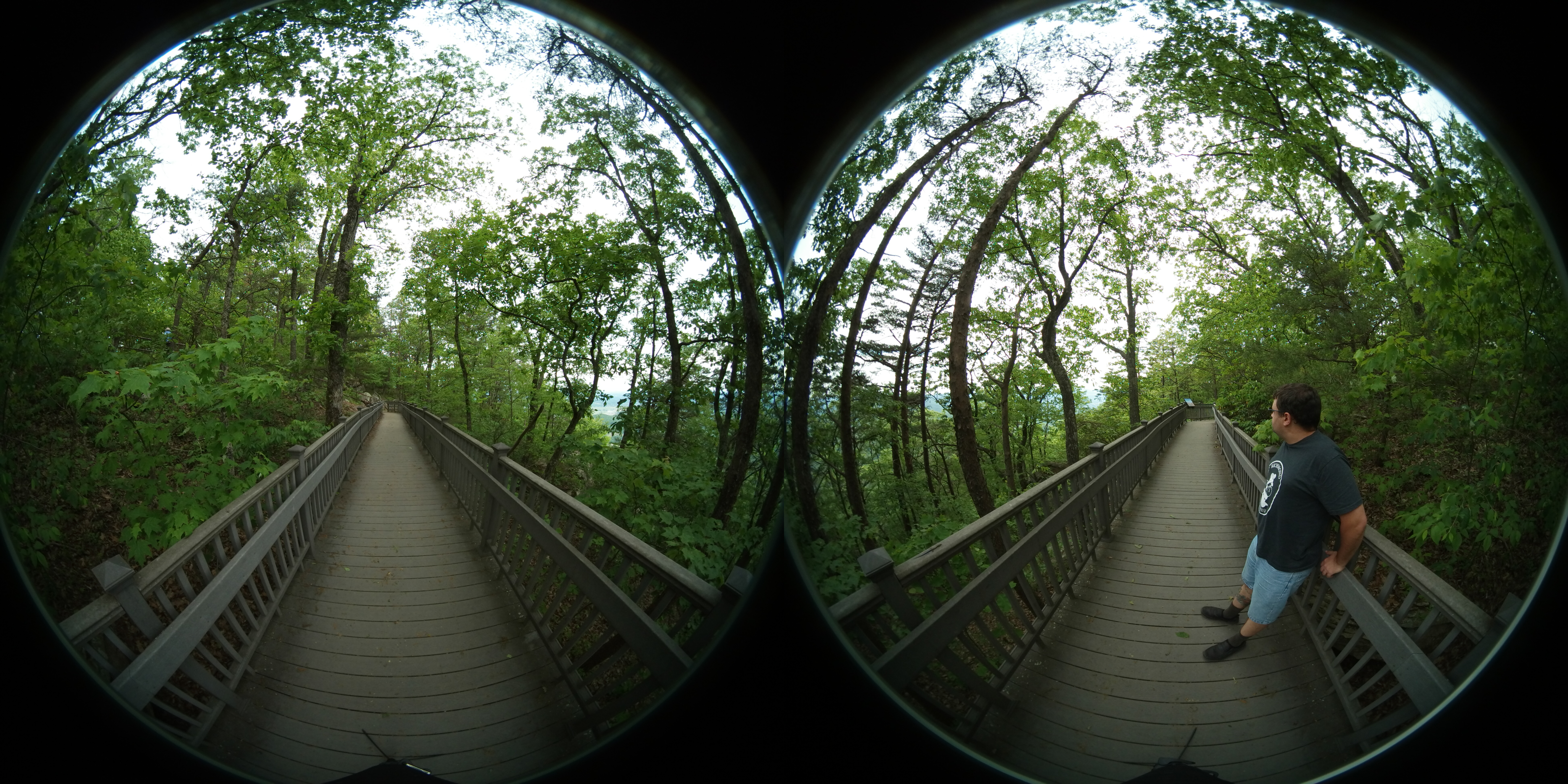
Pinnacle at the Cumberland Gap 360

Big Dog (nap interrupted)
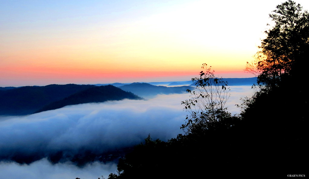
Mountain Sunrise

A Wave Goodbye
Diamonds On A Leaf

Inside Out
Pinnacle View

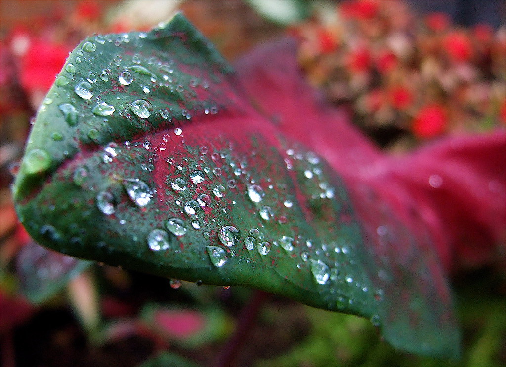
Morning Dew

Doc.. I keep seeing these red spots!!

Bluish-purple Wild Flower I

View From The Pinnacle V

sun coming through

Big Dots..Little Hairs
Something Evil This Way Comes..

Big Dog's Big Nose

Down on the Rail

Big Dog
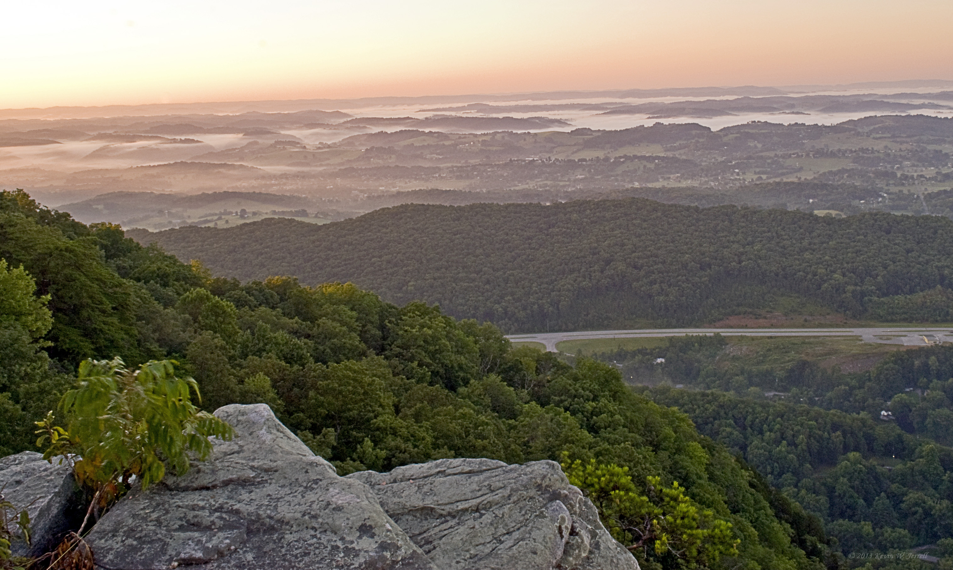
Fog in the Valley

Chain Rock
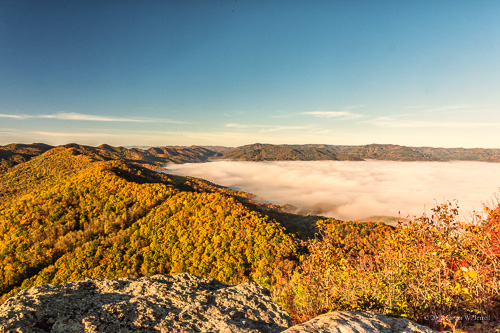
Sun on the Cumberlands
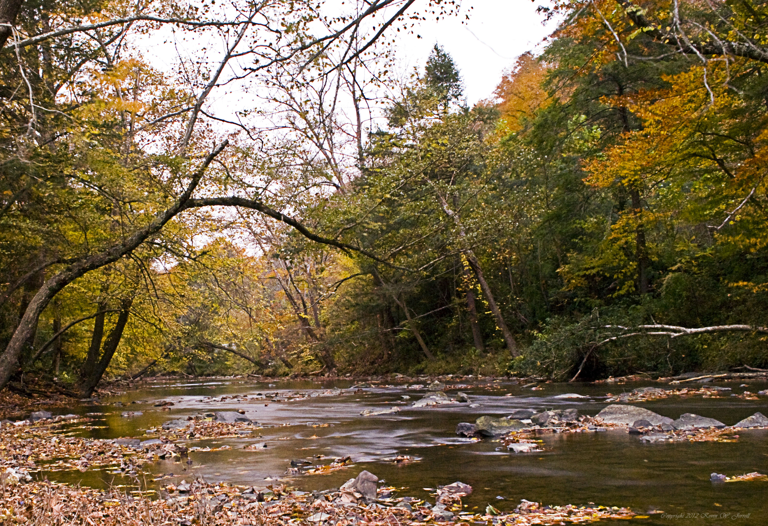
Yellow Creek

Kentucky begins here, Middlesboro

Old Foot Bridge.
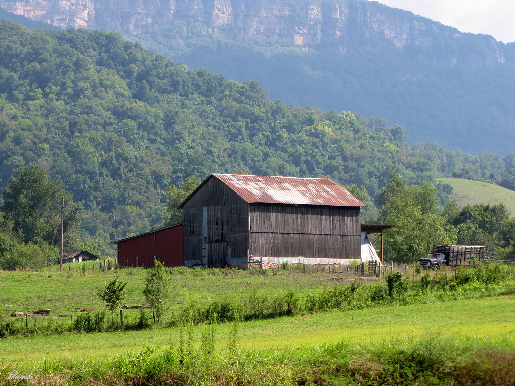
Virginia Barn

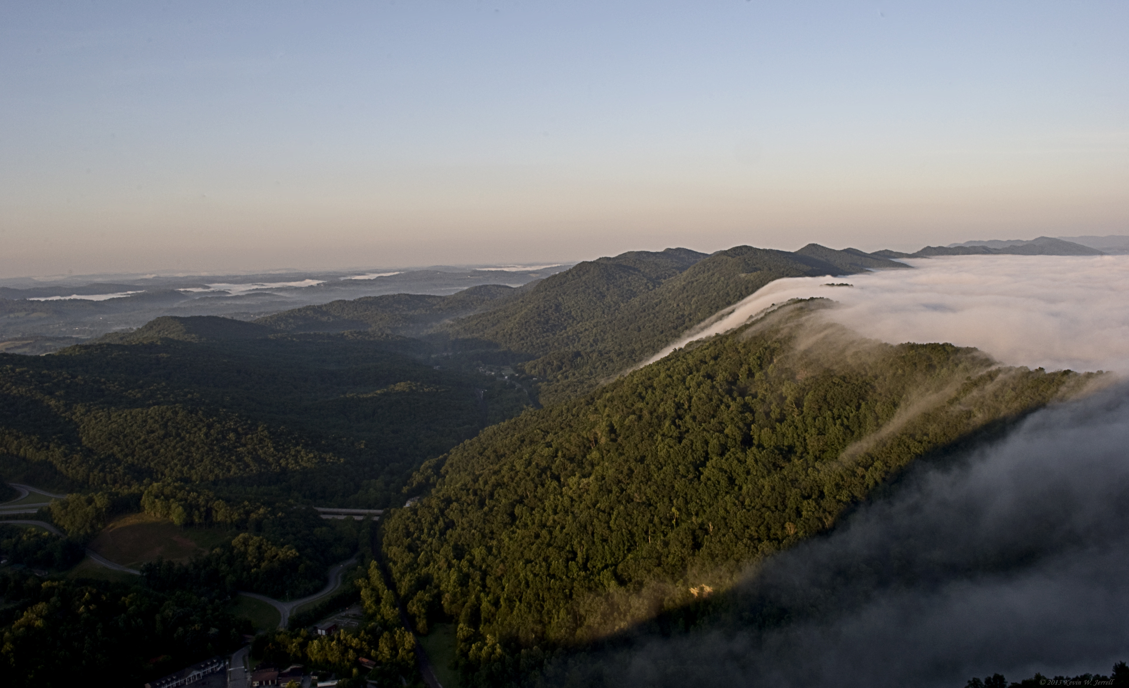
Fog Over The Mountains
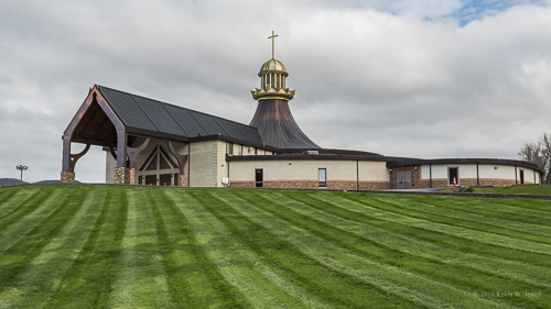
Binghamtown Baptist Church
One last photo of Cumberland Gap, TN

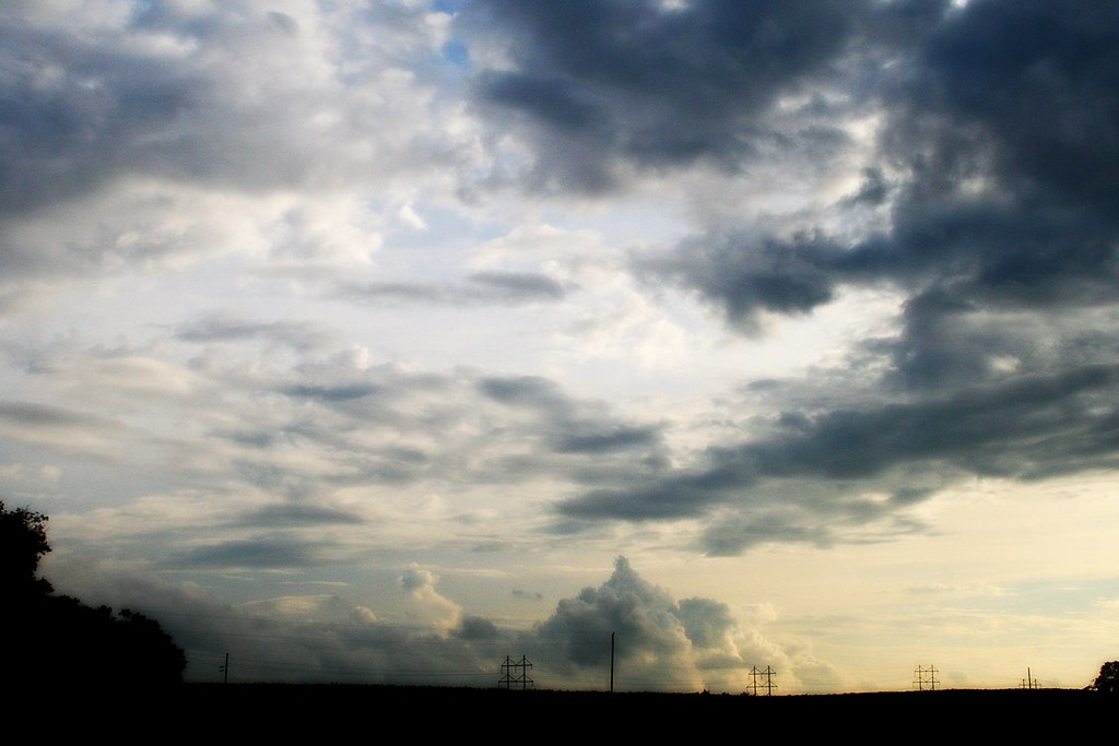
Clouds Over The Sun

New Hazewell-12
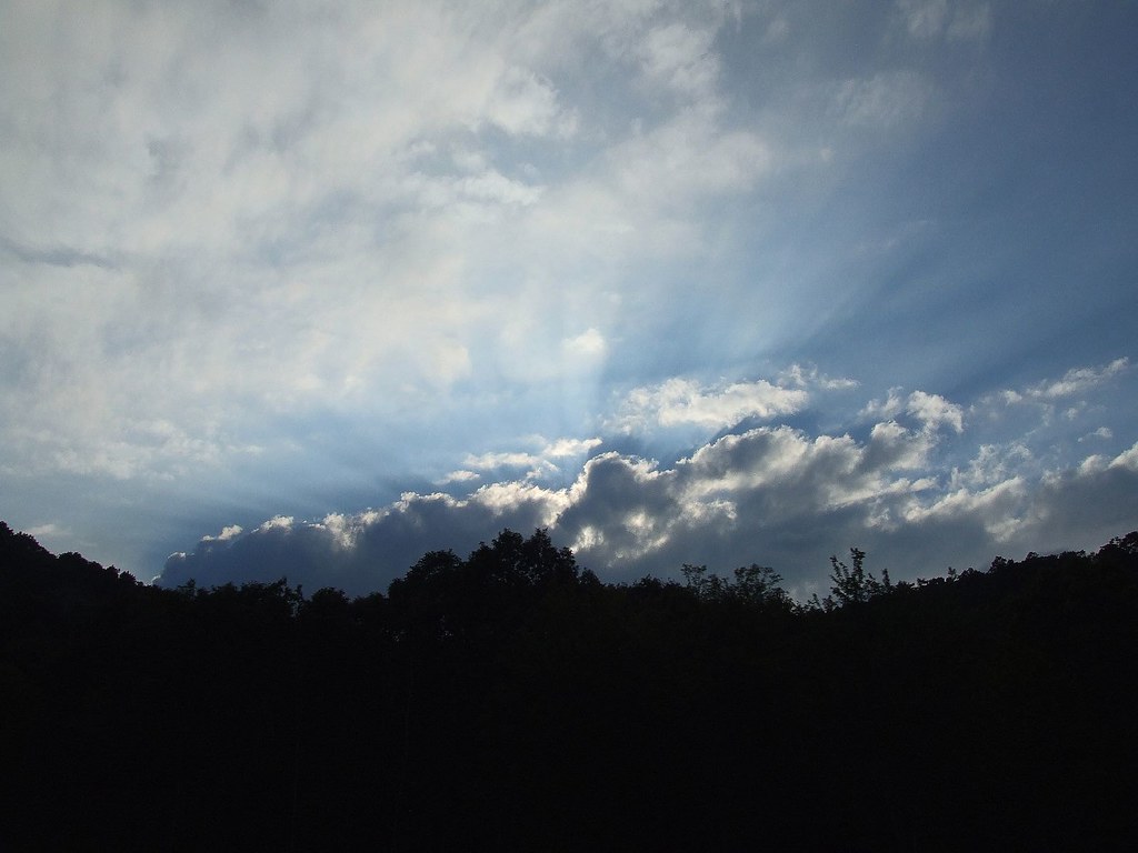
Sun Setting Behind The Clouds
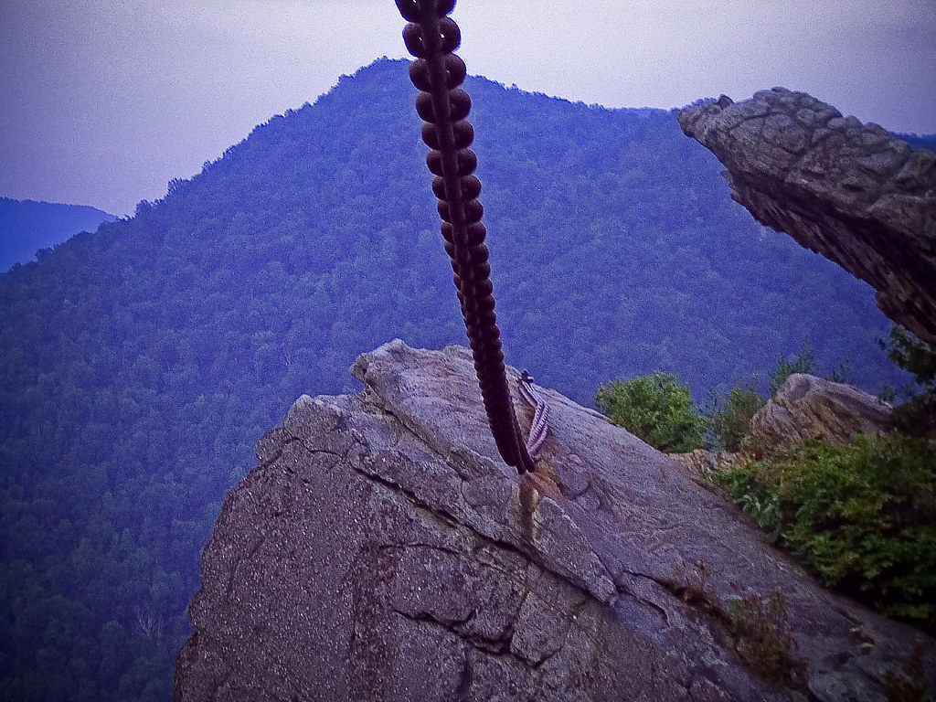
The Chain Of "Chain Rock" (Pineville, KY) I

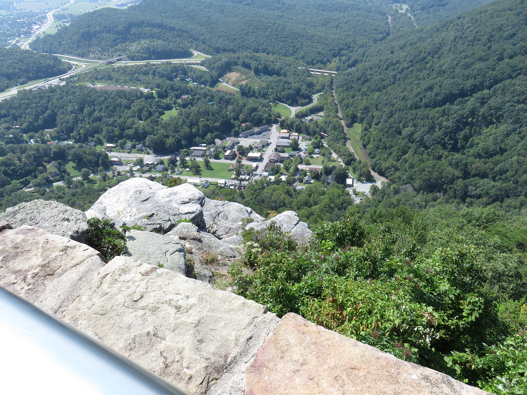
Cumberland Gap overlook
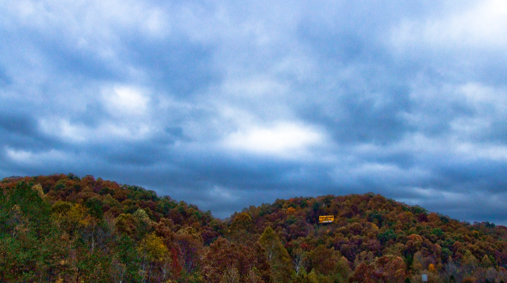
Fall Colours Revisited I

Sun Setting II
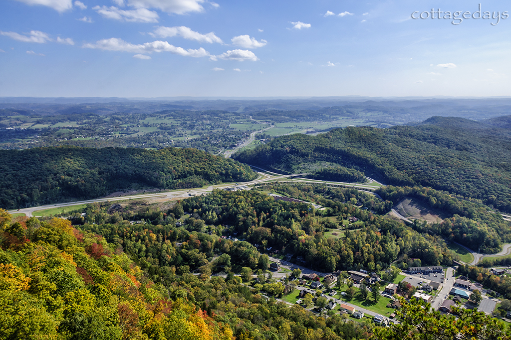
aerial view of Harrogate, TN
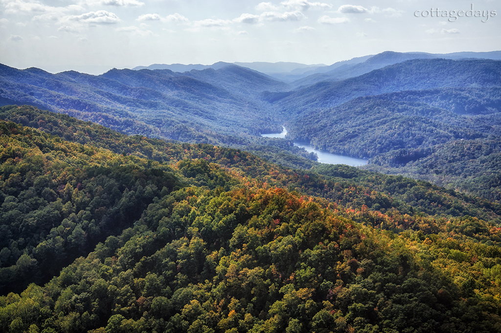
Tri-State Peak and Fern Lake
Topographic Map of Williams Branch, Kentucky, USA
Find elevation by address:

Places near Williams Branch, Kentucky, USA:
Calvin
State Hwy, Middlesboro, KY, USA
Cumberland Gap National Historical Park
Pinnacle Overlook Parking Lot
Cumberland Gap
US-58, Ewing, VA, USA
Ewing Head Start
Harrogate
335 Washington Ave
Wilderness Road State Park
Lincoln Memorial University
147 Oxford Cir
Forge Ridge
6369 Cumberland Gap Pkwy
449 Little Creek Rd
644 Poplar Grove Rd
643 Poplar Grove Rd
352 Poplar Grove Rd
468 Grandview Dr
468 Grandview Dr
Recent Searches:
- Elevation of Corso Fratelli Cairoli, 35, Macerata MC, Italy
- Elevation of Tallevast Rd, Sarasota, FL, USA
- Elevation of 4th St E, Sonoma, CA, USA
- Elevation of Black Hollow Rd, Pennsdale, PA, USA
- Elevation of Oakland Ave, Williamsport, PA, USA
- Elevation of Pedrógão Grande, Portugal
- Elevation of Klee Dr, Martinsburg, WV, USA
- Elevation of Via Roma, Pieranica CR, Italy
- Elevation of Tavkvetili Mountain, Georgia
- Elevation of Hartfords Bluff Cir, Mt Pleasant, SC, USA