Elevation of Harrogate, TN, USA
Location: United States > Tennessee > Claiborne County >

Longitude: -83.656857

Latitude: 36.5823046

Elevation: 405m / 1329feet

Barometric Pressure: 97KPa

Elevation Map:

elevation map of Harrogate, TN, USA
Satellite Map:

Satellite map of Harrogate, TN, USA
Related Photos:

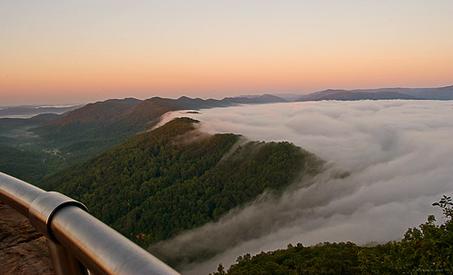
morning summer fog sunrise tennessee kentucky cumberlandgap nikond60 cumberlandgapnationalhistoricalpark backroadphotography leecountyva kjerrellimages
Bowl Full of Fog
railroad trees mountains leaves closeup rural geotagged countryside woods kentucky tracks backroads picnik smalltown diebahn cloudyday southeasternkentucky middlesborokentucky heartawards bellcountykentucky thebluegrassstate geo:lat=3669375 geo:lon=83683376
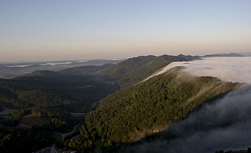
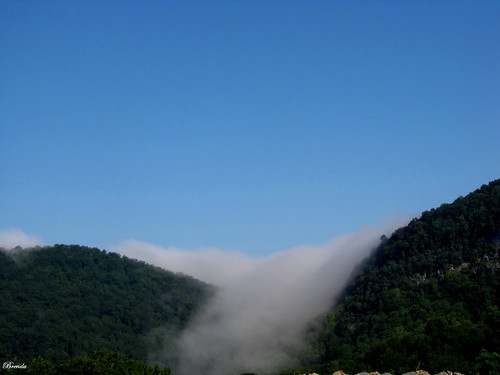
A Wave Goodbye
mountains beauty fog virginia landscapes tennessee kentucky leecounty pinnacleoverlook nikond60 cumberlandgapnationalhistoricalpark kjerrellimages
Pinnacle View
adjectives101magnificent
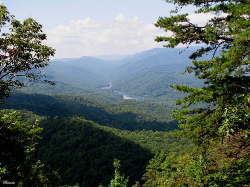
Virginia view
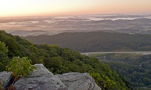
mountains fog sunrise virginia landscapes tennessee kentucky leecounty nikond60 cumberlandgapnationalhistoricalpark backroadphotography kjerrellimages
Fog in the Valley
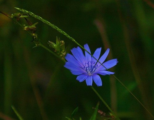
blue plant flower green geotagged nationalpark weed purple tn 10 5 lovely tennesse naturescall 10faves harrogatetn ironfurnancenationalpark colourartaward geo:lat=36557774 geo:lon=83649216 treeofhonor
Bluish-purple Wild Flower I
mushrooms fairyring fungus woodchips middlesborokentucky southeasternkentucky kentucky bellcountykentucky smalltown rural mushroom macro tree thebluegrassstate easternkentucky fungi spring spring2007 geo:lat=36608156 geo:lon=83735733 geotagged friends diamondstars flickrgreen naturesart thelifeinwhite naturesbest fab photographersgonewild naturelimited flickrpopularphotographer fungusamongus onblack onwhite viewonblack viewonwhite naturemasterclass
A Fairy Ring Revisited
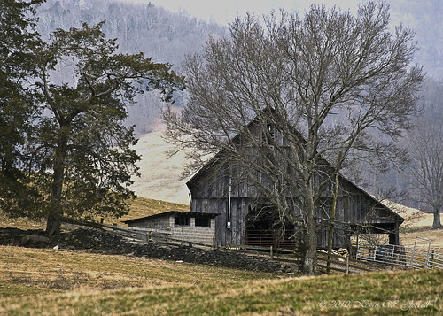
old rural country farming rustic barns pasture farms southwestvirginia offthebeatenpath stonefences countryscenes leecountyva kjerrellimages gibsonstationva
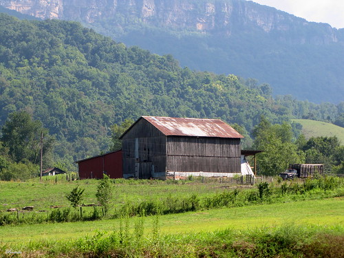
COUNTRY BARN
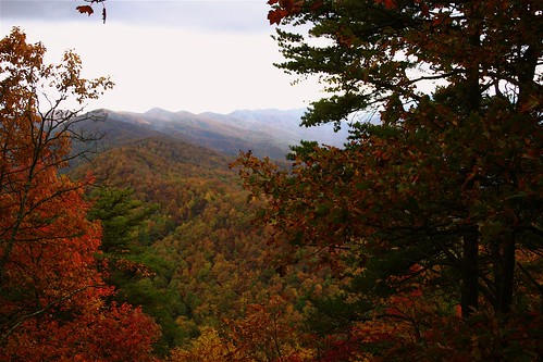
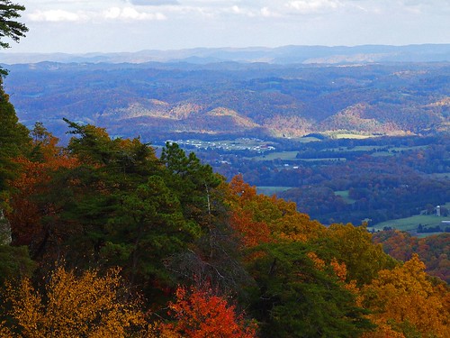
park blue autumn trees red orange brown white black mountains green fall yellow rural geotagged nationalpark beige tennessee kentucky lovely1 gray award autumncolours onwhite invite thepinnacle fallcolours onblack easternkentucky blueribbonwinner viewonblack middlesboroky cumberlandgaptn southeasternkentucky middlesborokentucky cumberlandgaptennessee bellcountykentucky thebluegrassstate viewonwhite geo:lat=36605916 geo:lon=8366547 thepinnaclenationalforrest bestofformyspacestation
Looking Through The Trees Ⅰ
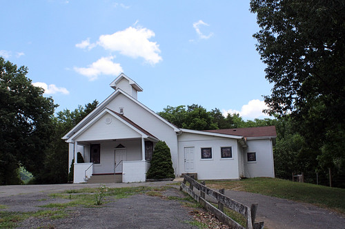
church virginia leecounty
Mountain View Baptist Church
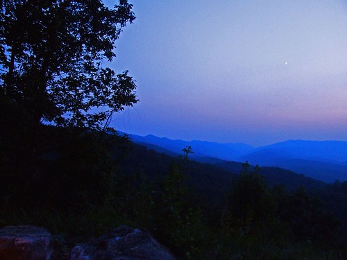
geo:lat=36609878 geo:lon=83683033 geotagged tristateareakytnandva middlesborokentucky cumberlandgaptennessee bellcountykentucky southeasternkentucky easternkentucky kentucky thebluegrassstate commonwealthofkentucky thestateoftennessee commonwealthofvirginia virginian tennessee mountains trees fog dusk twilight moon crescentmoon bluemountains kentuckyflora cumberlandgaparea fall autumn onblack onwhite viewonblack viewonwhite panoramicview scenic scenicbeauty nationalpark thepinnacle rural ruralkentucky ruralvirginia ruraltennessee highway24e amustsee thecontinuum 1on1 lookatmypics justanothergroup 123npdl faved 200views mnfg bestshotforward mightyquinninlex mightyquinninwky homeofmywomanerica ericawildershome homeofthemostbeautifulwoman landscape
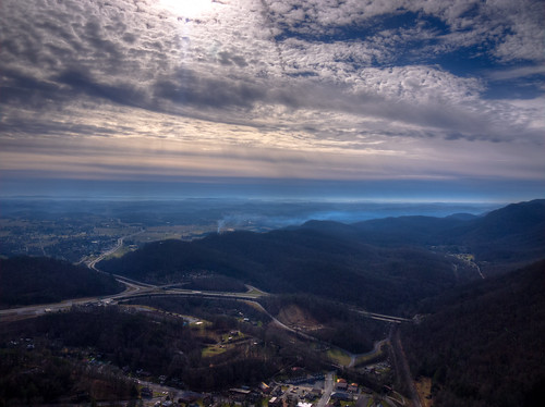
The Cumberland Gap II
virginia pinnacleoverlook cumberlandgapnationalhistoricalpark
Over the Gap
View up the Mountain.
light red reflection green wet water geotagged leaf drops dof bokeh 10 5 award 15 explore waterdrops invite elephantear cumberlandgap southeasternkentucky middlesborokentucky aplusphoto diamondclassphotographer flickrdiamond citrit onlythebestare bellcountykentucky ericasmomsgarden geo:lat=36608793 geo:lon=83732064 exploreformyspacestation bestofformyspacestation
Diamonds On A Leaf
light red reflection green wet water geotagged leaf drops dof bokeh 10 5 award explore waterdrops invite elephantear smörgåsbord smorgasbord cumberlandgap goldenmix southeasternkentucky middlesborokentucky anawesomeshot platinumheartaward “wonderfulworldmix” “macromix” imuniquecreative bellcountykentucky ericasmomsgarden geo:lon=83731978 geo:lat=36608673 exploreformyspacestation bestofformyspacestation
Morning Dew
railroad trees mountains leaves closeup rural geotagged countryside leaf woods dof bokeh kentucky perspective tracks backroads onwhite picnik smalltown diebahn fallenleaves onblack countryroads peopleschoice aroundthebend cloudyday viewonblack southeasternkentucky middlesborokentucky diamondheart flickrhearts flickrenvy flickraward globalvillage2 bellcountykentucky thebluegrassstate viewonwhite geo:lat=36694507 geo:lon=83683634 5for5 qualitypixels throughthehill
Down on the Rail
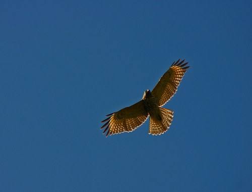
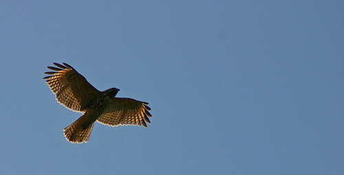
sky sunlight bird rural geotagged flying inflight hawk kentucky hunting flight feathers award bluesky raptor ave gliding predator onwhite invite smalltown birdofprey redtailhawk onblack opensky circling easternkentucky bluegrassstate viewonblack southeasternkentucky middlesborokentucky avianphotography ultimateshot lookingforprey bellcountykentucky thebluegrassstate viewonwhite middlesboroairport geo:lat=36608862 geo:lon=83732793 bestofformyspacestation
Hunting From Above
park autumn red orange mountains green yellow clouds landscape geotagged tn 10 kentucky ky lovely1 123 autumncolours explore va 500 overlook onwhite 31 1on1 onblack cumberlandgap helluva 4aces yourpride thecontinuum 2on2 lovephotography 1on1landscapes twtme mnfg commentscommentscomments flickrsmileys 123npdl viewonblack middlesboroky southeasternkentucky autumnlandscape phenomenalphotos pinncacle kentuckystatepark flickrhearts agradephoto globalvillage2 lunarvillage heartsaward platinumheartaward viewonwhite geo:lat=36622141 geo:lon=83687667 mightyquinninwky mightyquinninlex exploreformyspacestation
View From The Pinnacle V
geotagged geo:lat=36608586 geo:lon=83732042
Inside Out
dog geotagged poodle toypoodle bigdog 1on1petsphotooftheweek geo:lon=83732128 geo:lat=36608431 1on1petsphotooftheweekoctober2009
Big Dog's Big Nose
sky sun sunlight mountains bird rural geotagged flying hawk kentucky hunting flight feathers bluesky aves raptor gliding predator smalltown birdofprey redtailhawk opensky circling bluegrassstate southeasternkentucky middlesborokentucky lookingforprey bellcountykentucky middlesboroairport geo:lat=36608535 geo:lon=83732429
Going Up
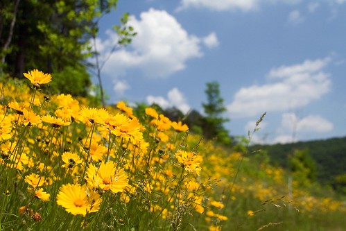
flower tag3 taggedout tag2 tag1 cumberlandgap nationalhistoricalpark payitforward gtaggroup cumberlandgapnationalhistoricalpark
A Hillside of Yellow
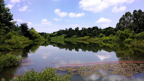
flickrandroidapp:filter=none
Mountain Drive Pond
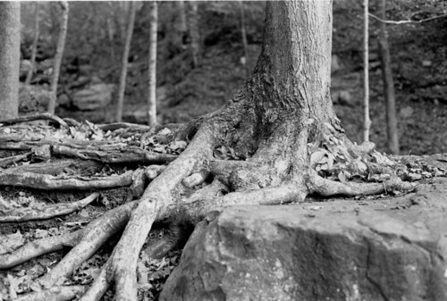
blackandwhite bw tree rock roots contax g1 picturewindowpro pwp fujifilmneopan400 autaut legacypro400
Roots and Rock
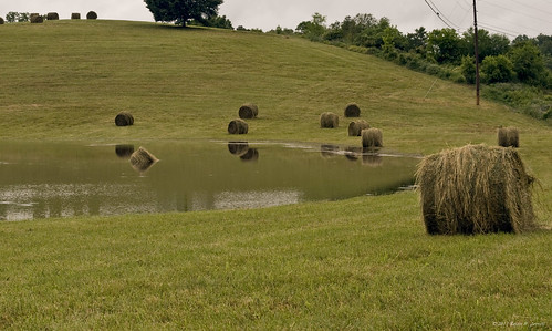
water rain rural flooding hay et tazewell nikond60 tnnessee claibornecounty kjerrellimgesbackroadphotography
Drowned Hay
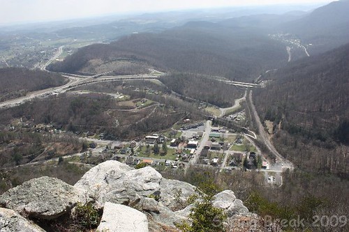
springbreak2009
The Pinnacle
adjectivestrange
Fog Over The Mountains
autumn fall water leaves colorful dusk kentucky timeexposure streams creeks middlesboro nikond60 bellcounty backroadphotography kjerrellimages
Yellow Creek
springbreak2009
Cumberland Gap, TN
New Hazewell-12
adjectivepeaceful
Virginia Barn
ice creek tennessee gap cumberlandgap
Gap Creek 8, Cumberland Gap TN 1-24-2014
lv-tr10-040
ice creek tennessee gap cumberlandgap
Gap Creek 12, Cumberland Gap TN 1-24-2014
ice creek tennessee gap cumberlandgap
Gap Creek 7, Cumberland Gap TN 1-24-2014
square lofi squareformat iphoneography instagramapp uploaded:by=instagram
#kentucky #travel #cumberlandgap #tunnel
virginia cumberlandgapnationalhistoricalpark
Tri-State Peak
virginia tennessee kentucky nationalparks historicsites cumberlandgapnationalhistoricalpark bellcountyky harlancountyky leecountyva claibornecountytenn
Cumberland Gap National Historical Park (Ky./Tenn./Va.), 8 October 1987