Elevation of Willard, KS, USA
Location: United States > Kansas > Shawnee County > Dover >
Longitude: -95.941933
Latitude: 39.0933327
Elevation: 279m / 915feet
Barometric Pressure: 98KPa
Elevation Map:
Satellite Map:
Related Photos:
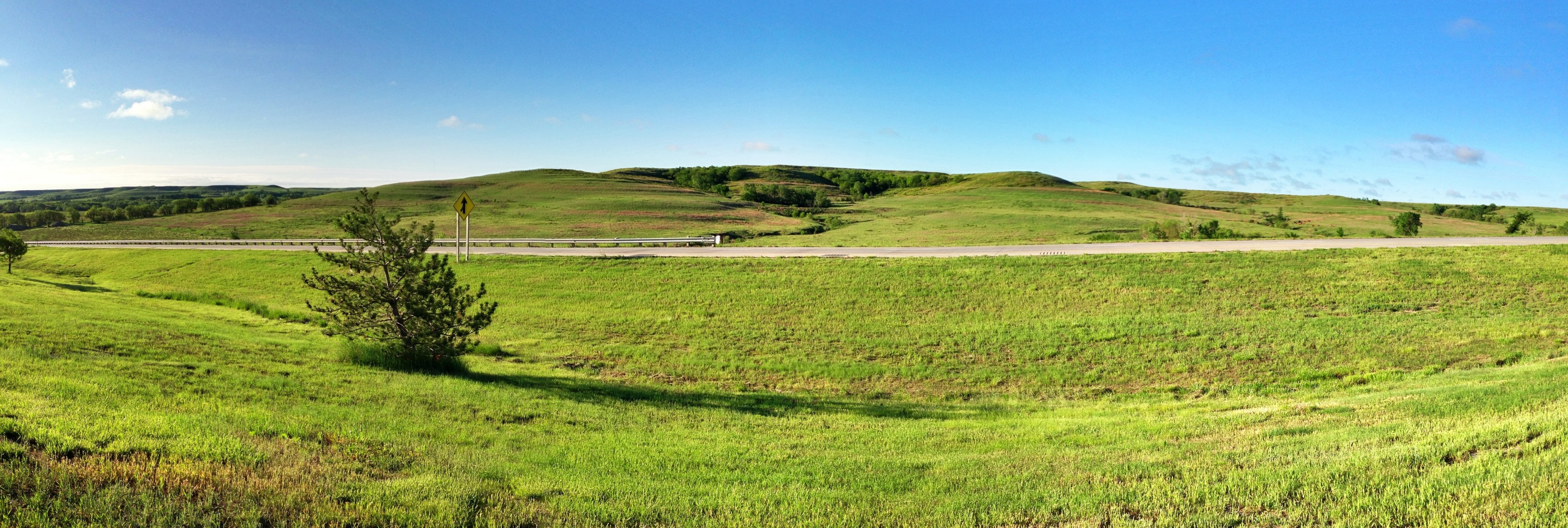
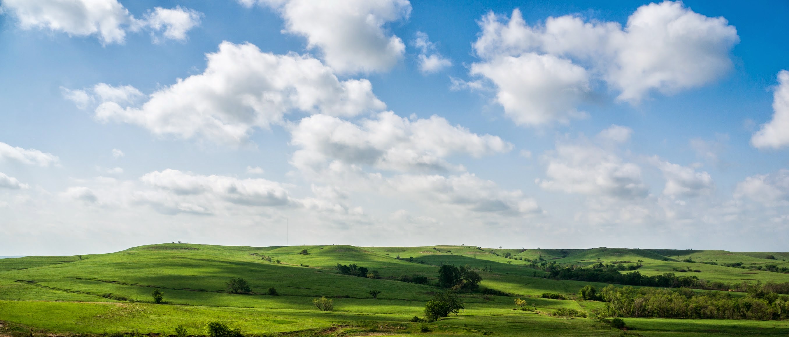
The Flint Hills

Wedding view

Old WIBW Logo on Truck
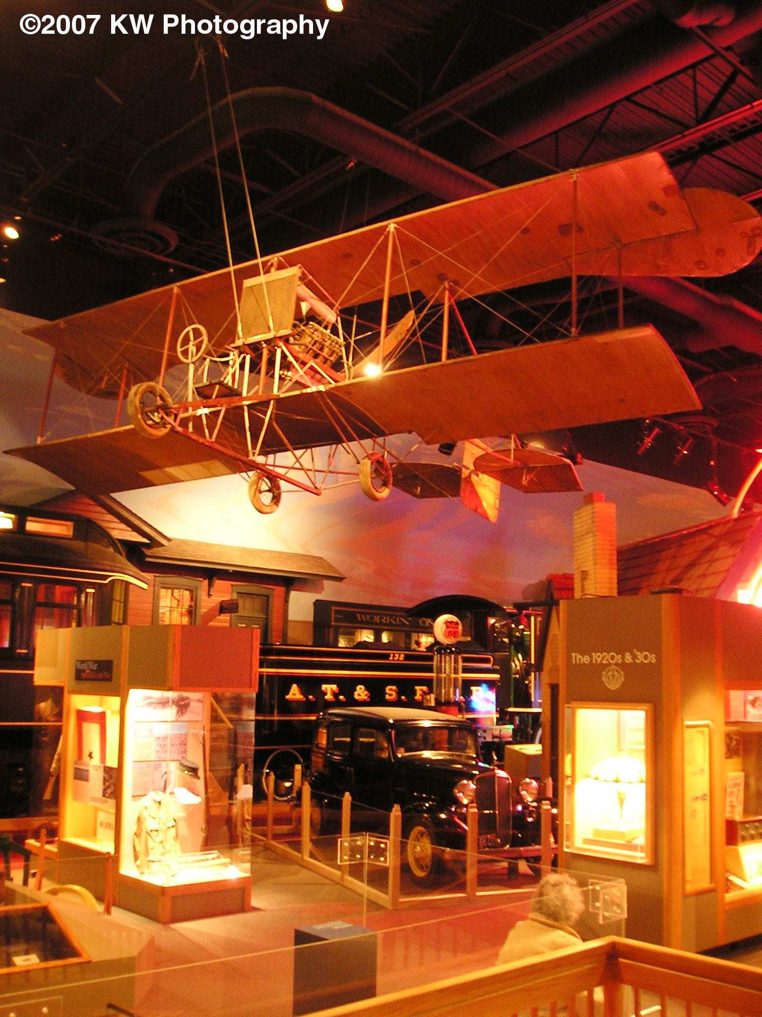
Kansas Museum of History2

Kansas plains
SAN-NYC (429)

SAN-NYC (430)

SAN-NYC (431)
Guard of the Plains
Main Gallery
#sunrisewx #Topeka #Kansas

Roll my own... #fightthissickness

The last pecan log roll
Road Trip Photos
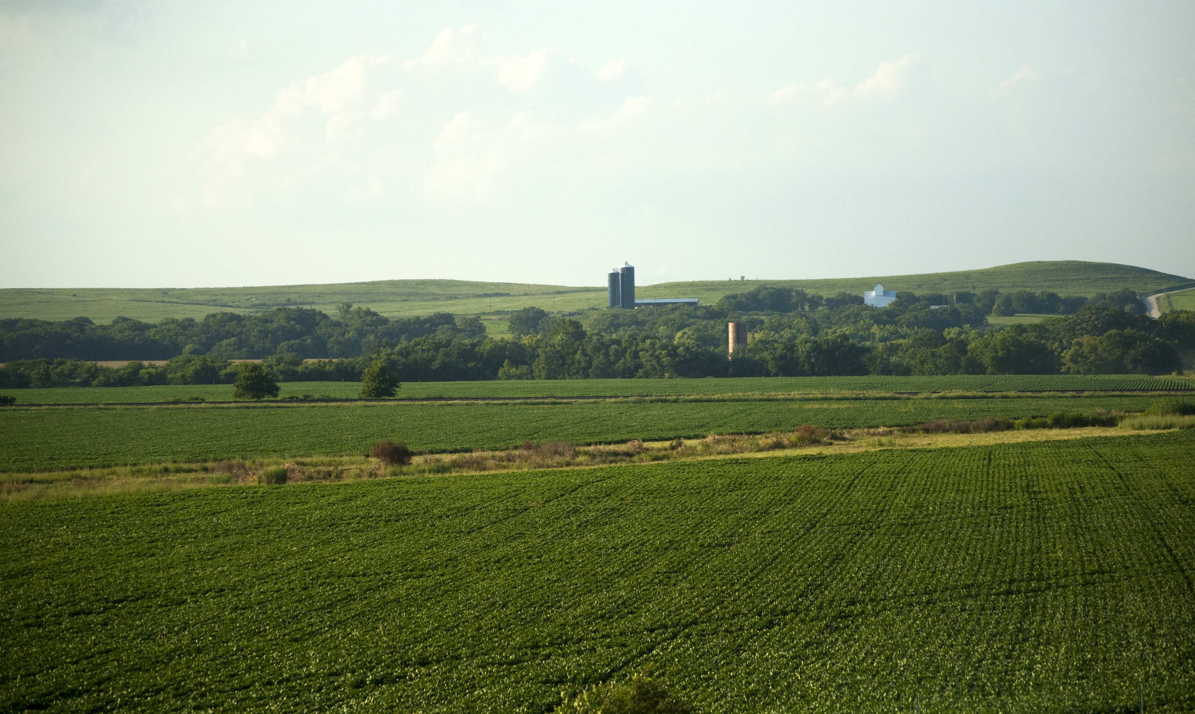
Kansas Farmland

"Oh no...I think we're lost! Does anyone remember the way back?

Debbie Dust says sick miles #fightthissickness
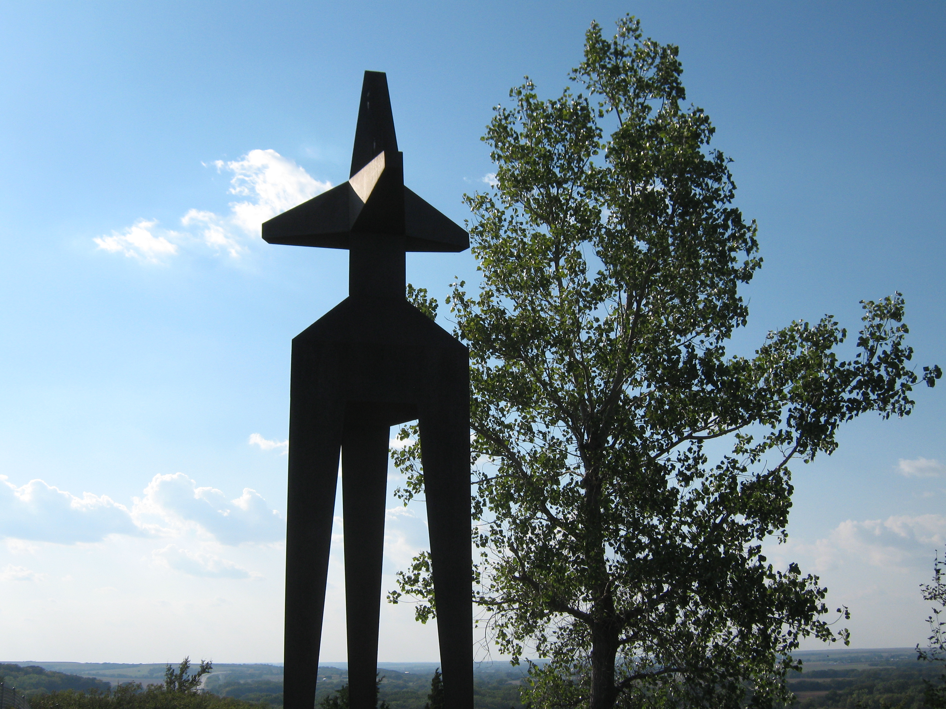
Guard of the Plains
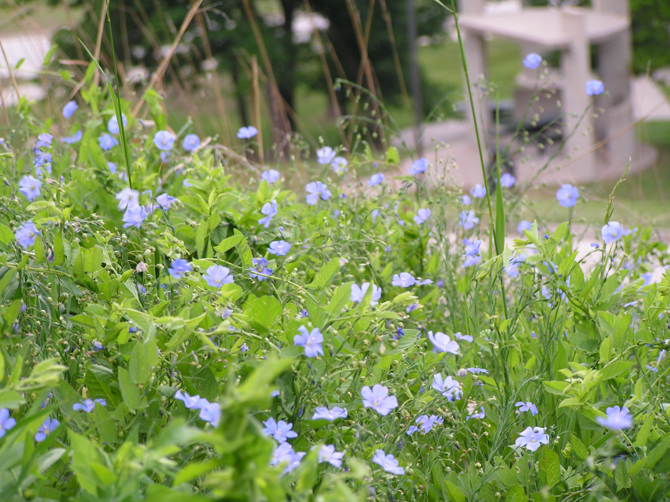
Wayside flowers near Topeka
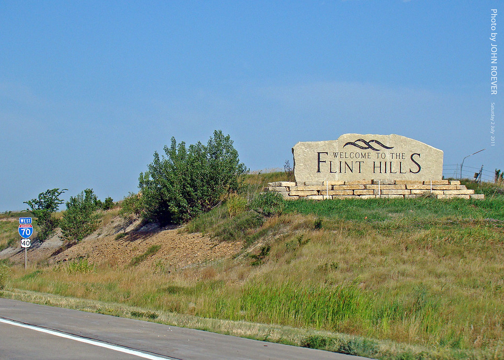
Flint Hills sign on I-70, 2 July 2011
Konza prairie Kansas

Cold Kansas morning on the Kaw River
Guard of the Plains
Tracks in May...Topeka, KS
Mission Creek and Echo Cliff

A field outside of Delia, Kansas
Delia sky
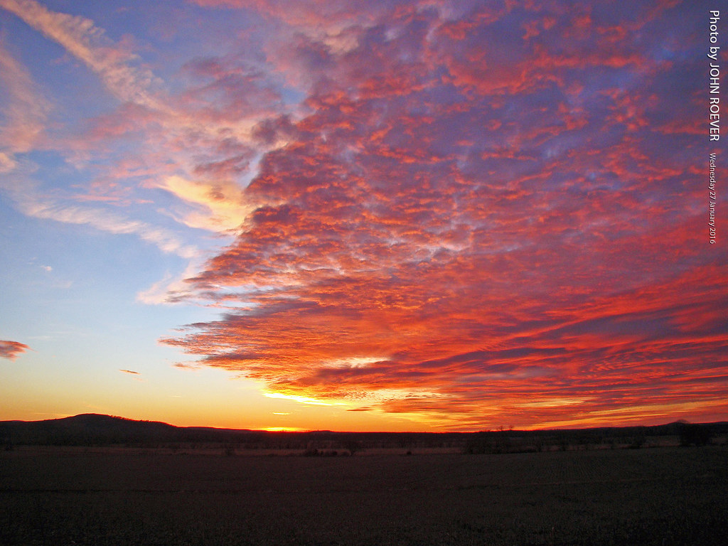
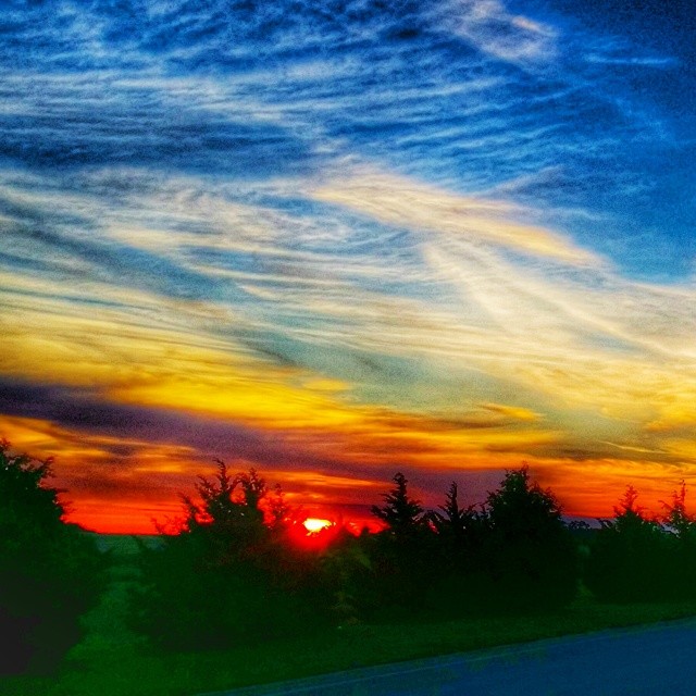
Colorful Sunset near Maple Hill, 27 Jan 2016
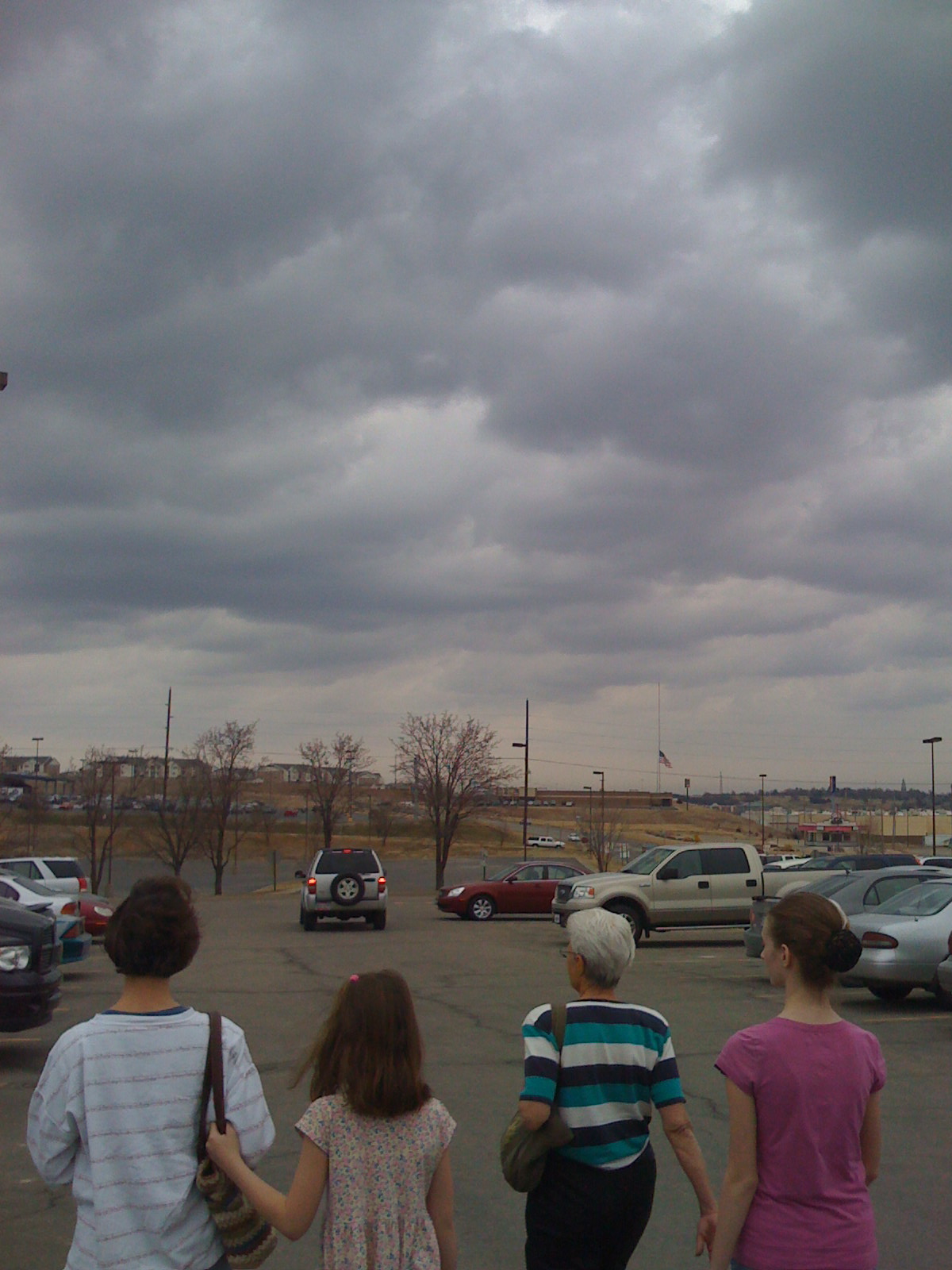
the girls, shopping
Flint Hill's
Topographic Map of Willard, KS, USA
Find elevation by address:

Places in Willard, KS, USA:
Places near Willard, KS, USA:
Willard St, Topeka, KS, USA
Pearl St, Rossville, KS, USA
Silver Lake
Silver Lake
E Pottawatomie St, Silver Lake, KS, USA
Dover
Silver Lake, KS, USA
1643 Sw Hodges Rd
Shawnee County
1221 Nw Huxman Rd
7925 Nw 54th St
500 Sw Wanamaker Rd
SW Wanamaker Rd, Topeka, KS, USA
West Southwest 2
4721 Sw Brentwood Rd
1928 Sw Edgewater Terrace
820 Sw Gage Blvd
801 Sw Anderson Terrace
3229 Hickory Ridge Ln
3333 Hickory Ridge Ln
Recent Searches:
- Elevation of Corso Fratelli Cairoli, 35, Macerata MC, Italy
- Elevation of Tallevast Rd, Sarasota, FL, USA
- Elevation of 4th St E, Sonoma, CA, USA
- Elevation of Black Hollow Rd, Pennsdale, PA, USA
- Elevation of Oakland Ave, Williamsport, PA, USA
- Elevation of Pedrógão Grande, Portugal
- Elevation of Klee Dr, Martinsburg, WV, USA
- Elevation of Via Roma, Pieranica CR, Italy
- Elevation of Tavkvetili Mountain, Georgia
- Elevation of Hartfords Bluff Cir, Mt Pleasant, SC, USA