Elevation of Silver Lake, KS, USA
Longitude: -95.877596
Latitude: 39.1933875
Elevation: -10000m / -32808feet
Barometric Pressure: 295KPa
Elevation Map:
Satellite Map:
Related Photos:
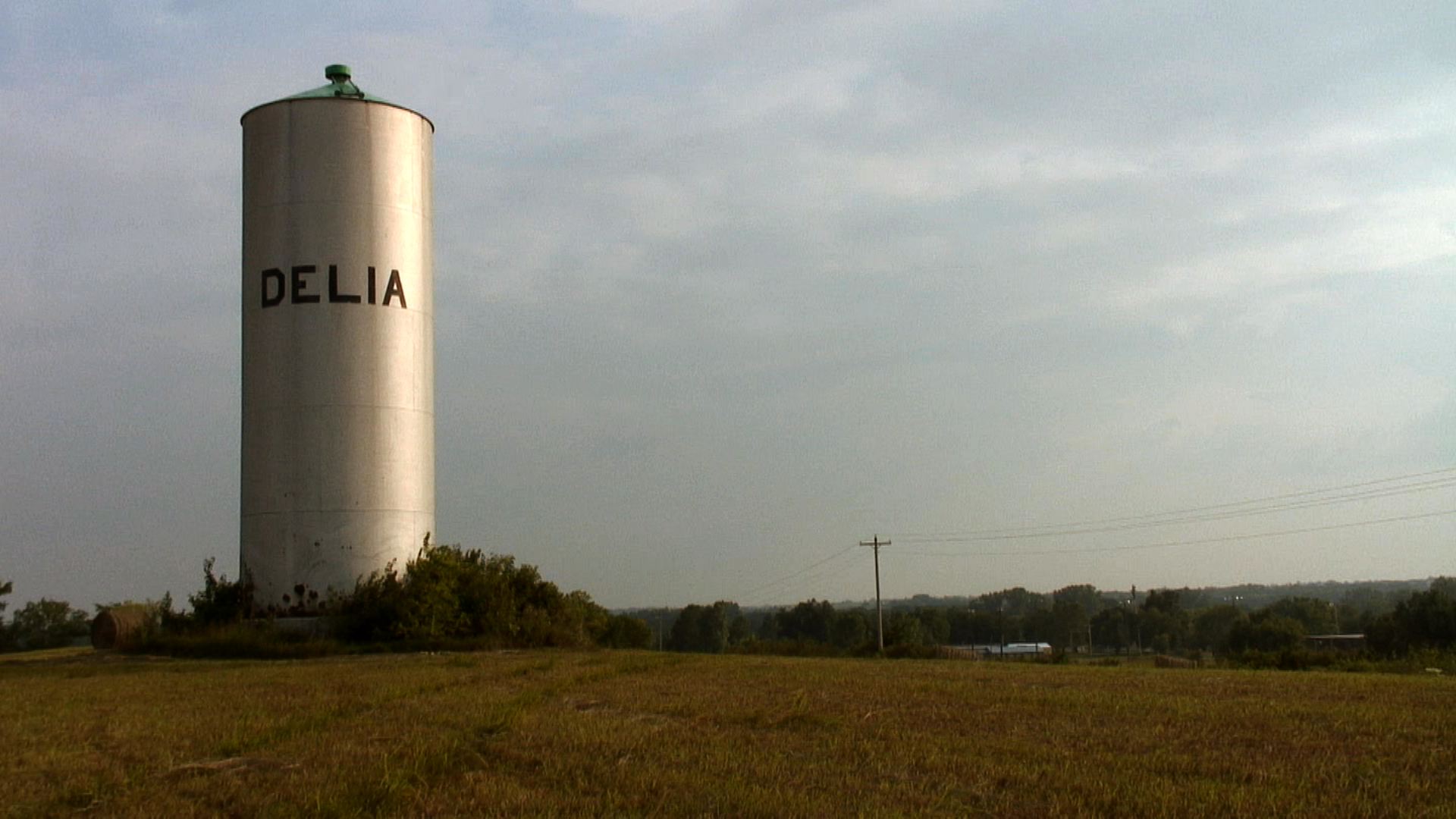
A view of Delia, Kansas

229/366 [2012] - First Day of School
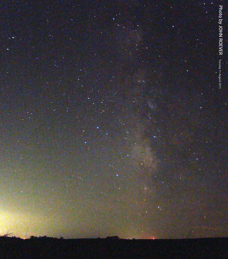
Milky Way, 11 Aug 2015

061/366 [2012] - Sitting Outside

251/366 [2012] - Casting Shadows

214/365 [2013] - Not a View I Wanted

110/365 {2011} - The Bed View

my view :)

Good morning. My current view =D

my current view

my current view

My husbandless view :'(

The View For Waiting

My view :-D

my current view

And a better view of my awesome shirt. #weekinthelife #weekinthelife2015 #sarahtm2tsweekinthelife2015 #sarahtm2tsweekinthelife

My current view. Yay Klingons!

001.365 [2015] :: Morning in Topeka

Sunset, 24Sep14, Kansas, USA
010/365 [2018] - Spring Like Walk

020/365 [2015] :: Sunset

100/365 [2018] - Sunset

Uniontown Cemetery (Willard, Kansas)
A field outside of Delia, Kansas
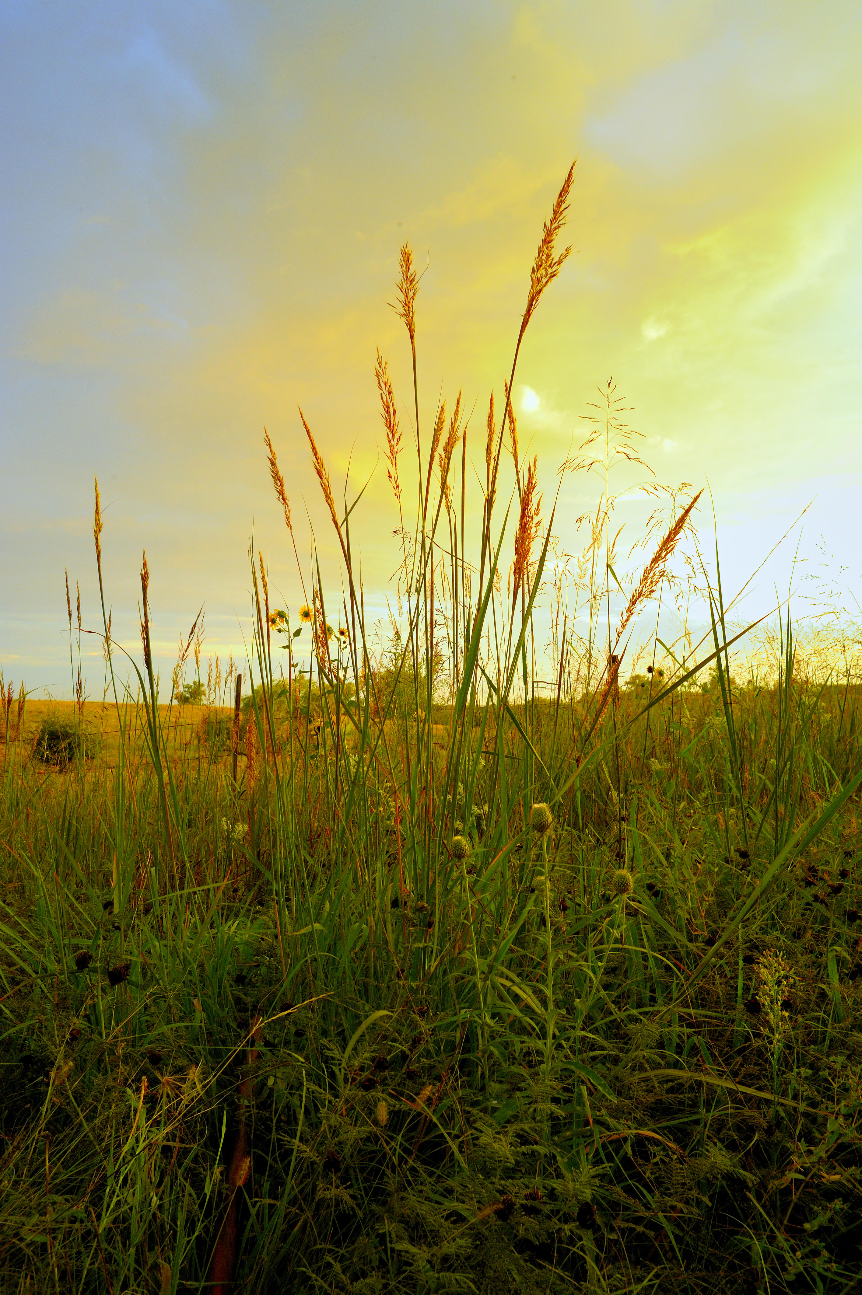
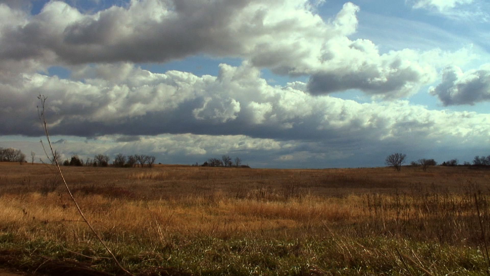
Tall Bluestem Touching the Sky

Bawden in front of a field

244/365 {2011} - Sun Through the Clouds
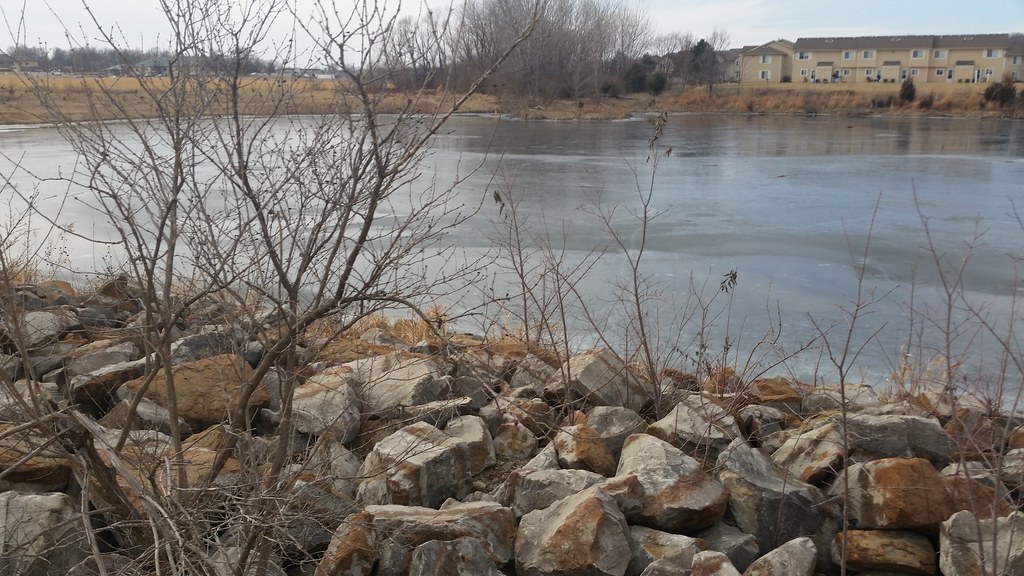
037/365 [2015] :: Frozen Pond

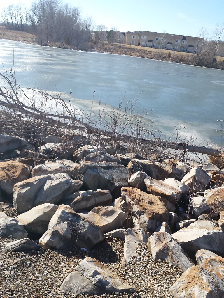
055/365 {2011} - Ice Falls

Foggy Start

199/365 - First Sign of Fall

Cold Kansas morning on the Kaw River
099/365 [2013] - Cloudy Cloudy

IMAG0005.jpg

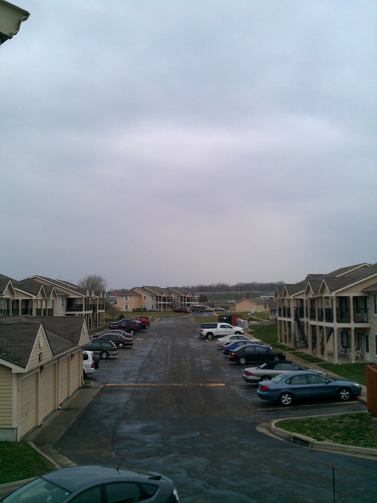
My neighborhood #marchphotoaday

#sunrisewx #Topeka #Kansas
Topographic Map of Silver Lake, KS, USA
Find elevation by address:

Places near Silver Lake, KS, USA:
7925 Nw 54th St
E Pottawatomie St, Silver Lake, KS, USA
Silver Lake
Pearl St, Rossville, KS, USA
Silver Lake
Willard St, Topeka, KS, USA
Shawnee County
Willard
1221 Nw Huxman Rd
1643 Sw Hodges Rd
Dover
NW 66th St, Topeka, KS, USA
500 Sw Wanamaker Rd
3333 Hickory Ridge Ln
3229 Hickory Ridge Ln
West Southwest 2
4721 Sw Brentwood Rd
SW Wanamaker Rd, Topeka, KS, USA
801 Sw Anderson Terrace
820 Sw Gage Blvd
Recent Searches:
- Elevation of Corso Fratelli Cairoli, 35, Macerata MC, Italy
- Elevation of Tallevast Rd, Sarasota, FL, USA
- Elevation of 4th St E, Sonoma, CA, USA
- Elevation of Black Hollow Rd, Pennsdale, PA, USA
- Elevation of Oakland Ave, Williamsport, PA, USA
- Elevation of Pedrógão Grande, Portugal
- Elevation of Klee Dr, Martinsburg, WV, USA
- Elevation of Via Roma, Pieranica CR, Italy
- Elevation of Tavkvetili Mountain, Georgia
- Elevation of Hartfords Bluff Cir, Mt Pleasant, SC, USA