Elevation of Wilkesport, ON N0P, Canada
Location: Canada > Ontario > Lambton County >
Longitude: -82.364935
Latitude: 42.728013
Elevation: 185m / 607feet
Barometric Pressure: 99KPa
Elevation Map:
Satellite Map:
Related Photos:
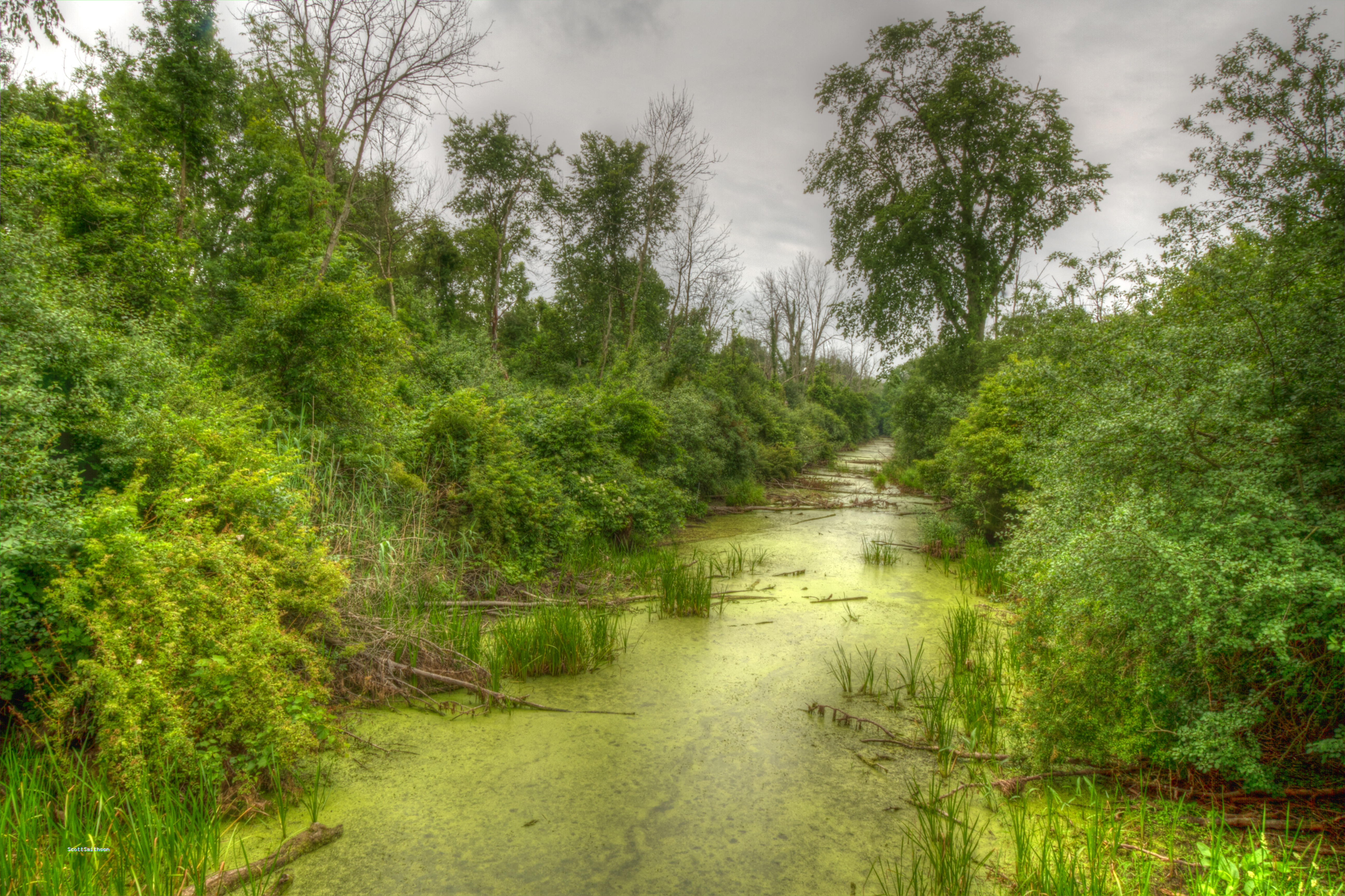
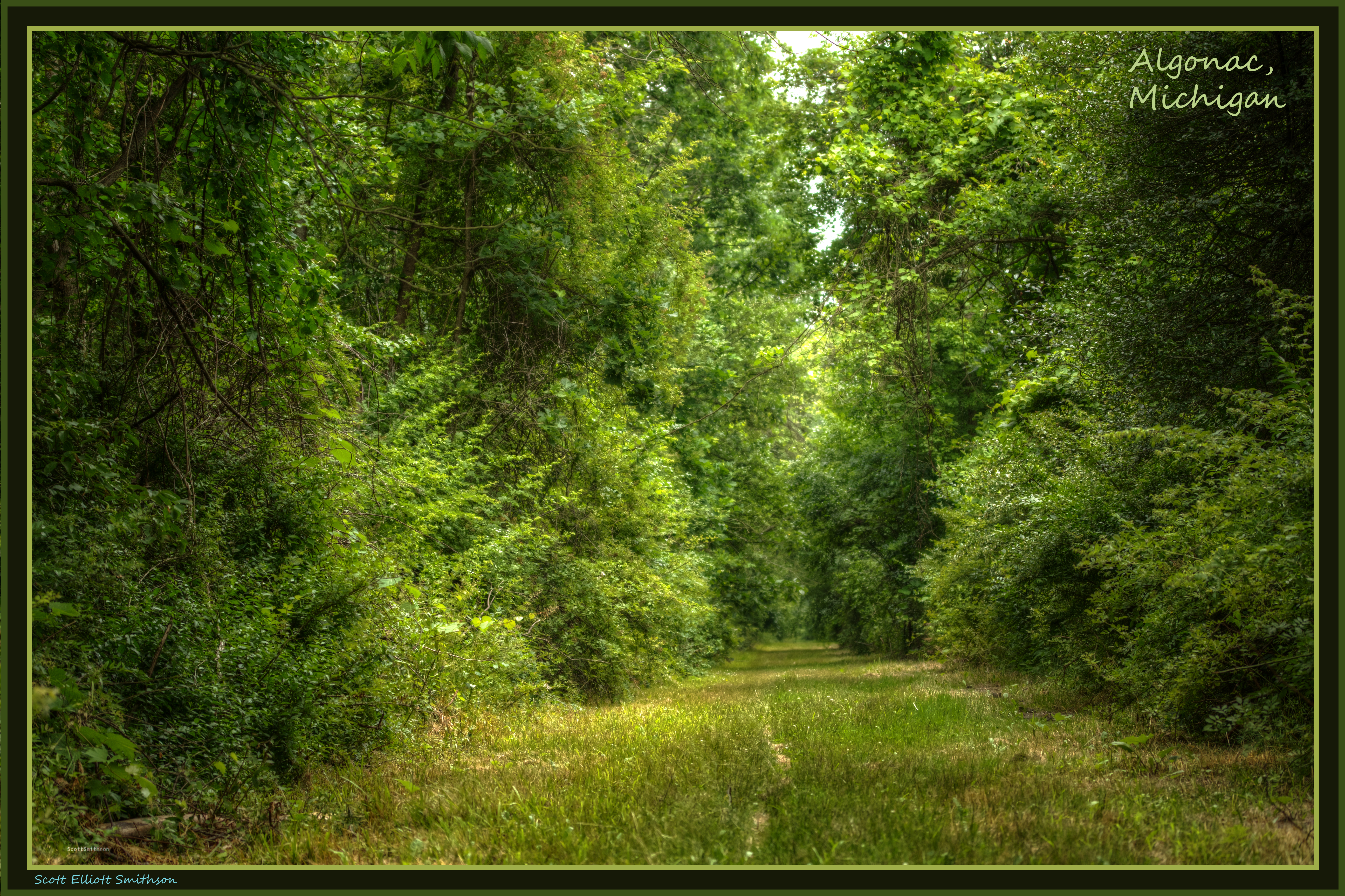
My River is Greenest of All

I see you Canada
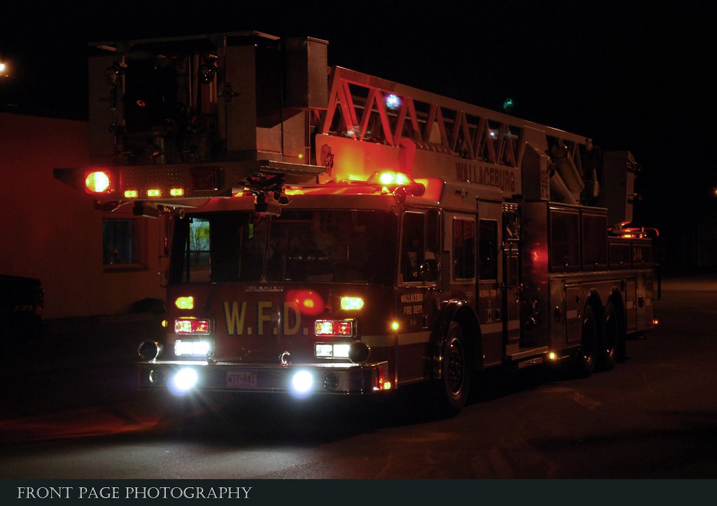
C-K Fire - 3-14, 10 Dauw Ave. Wallaceburg 3rd Alarm
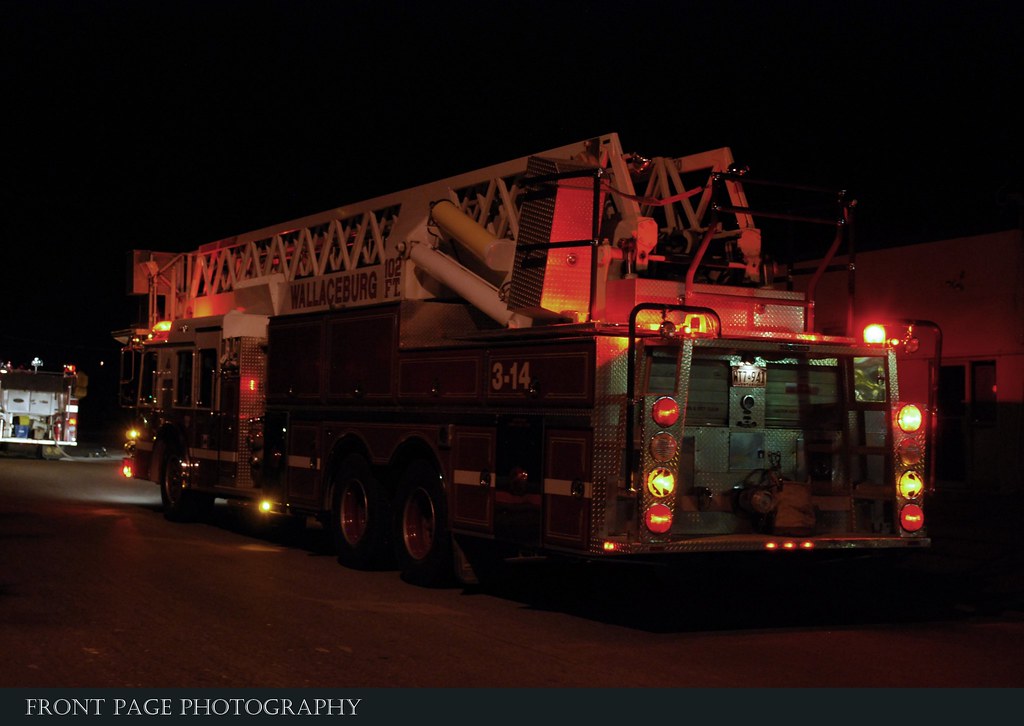
C-K Fire - 3-14, 10 Dauw Ave. Wallaceburg 3rd Alarm
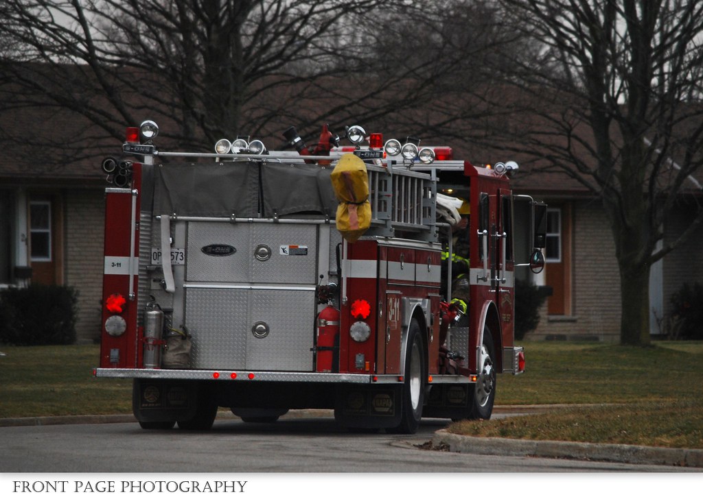
C-K Fire - 3-11

The Neil Malcolm Band

The Neil Malcolm Band

The Neil Malcolm Band

The Neil Malcolm Band

The Neil Malcolm Band

The Neil Malcolm Band
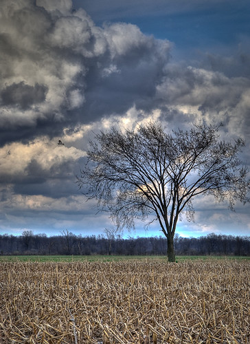
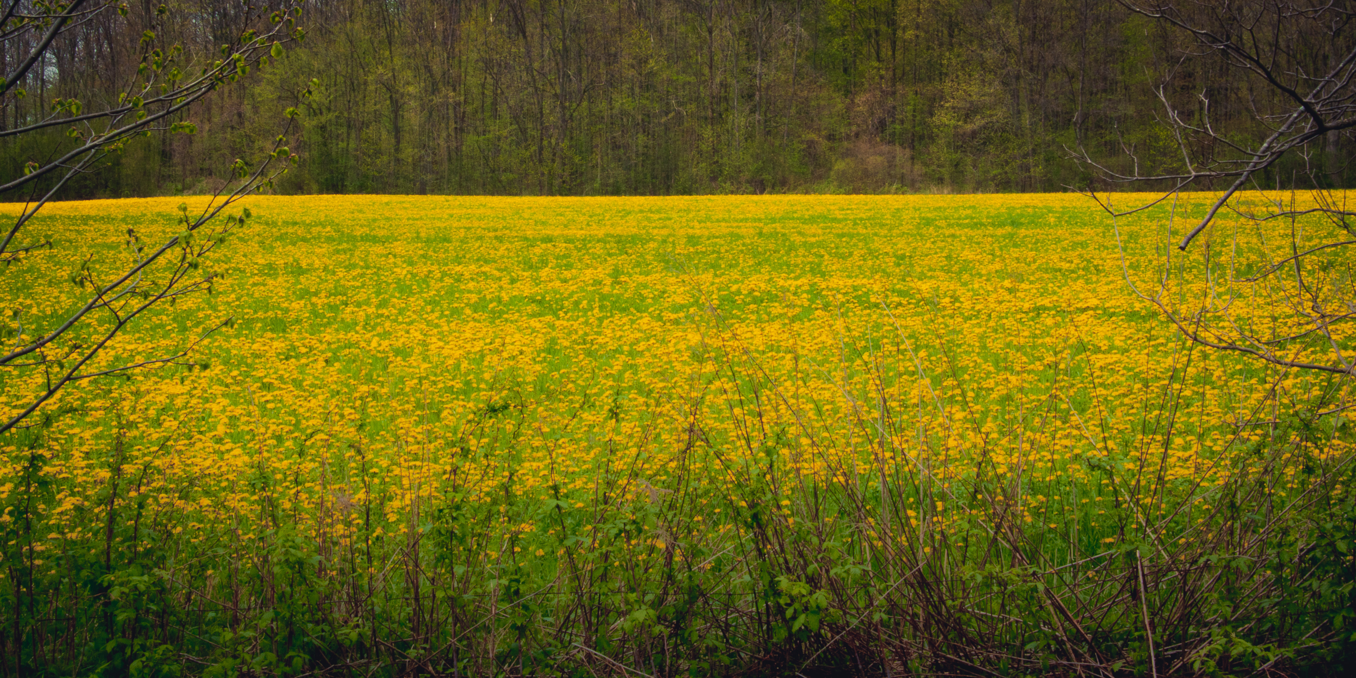
moore line field
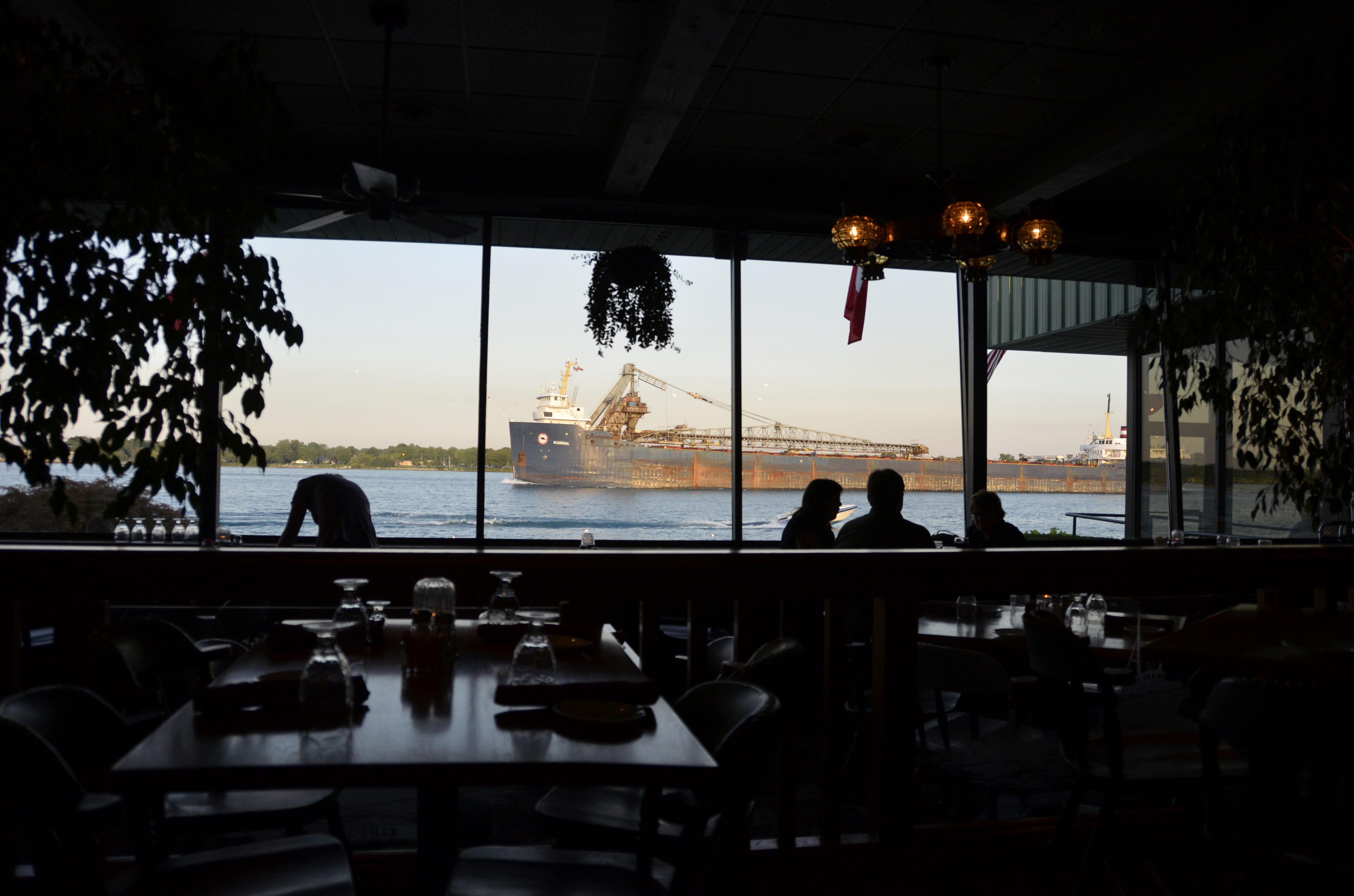
Table with a View
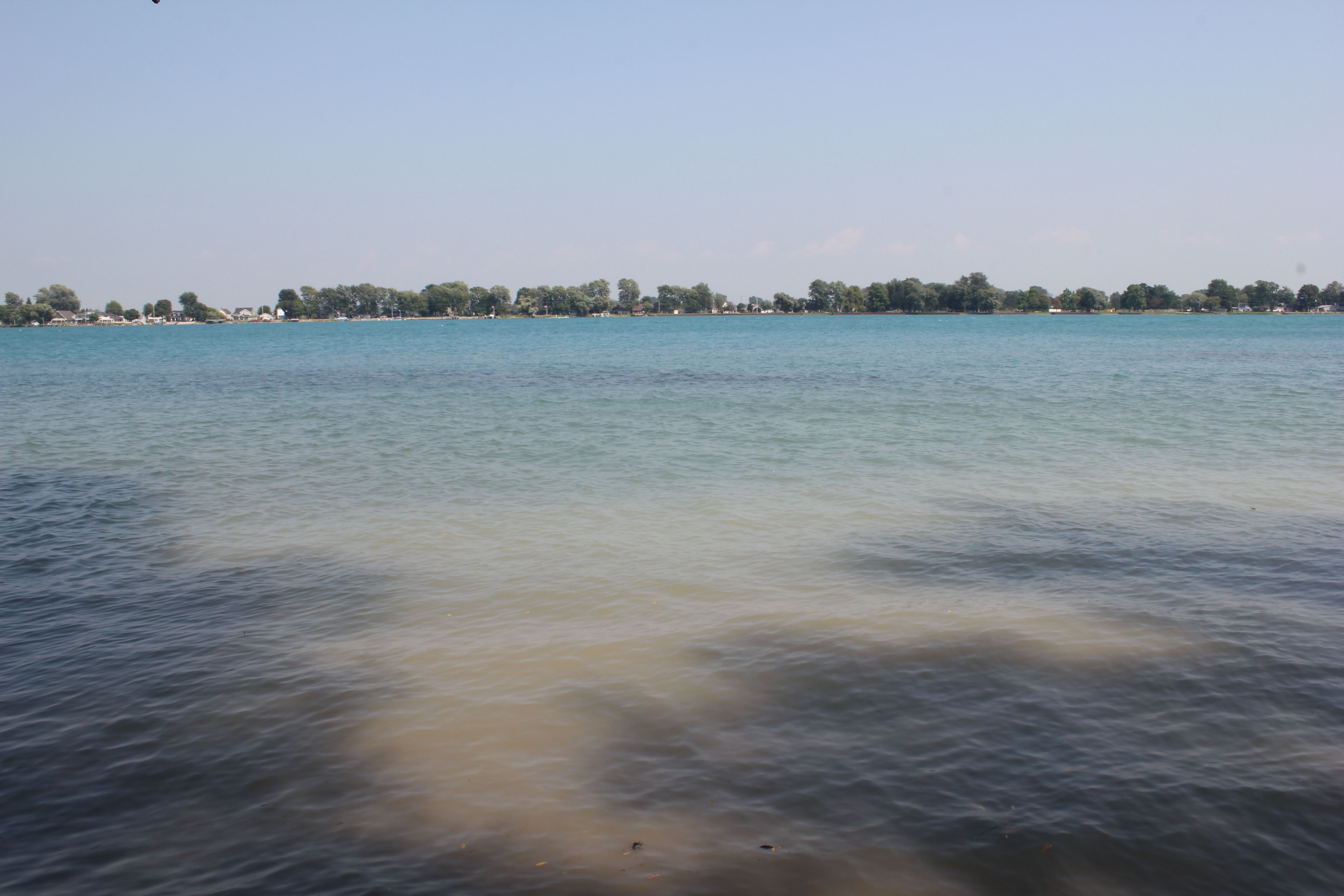
Lake st Clair #michigan current view

Jade Star
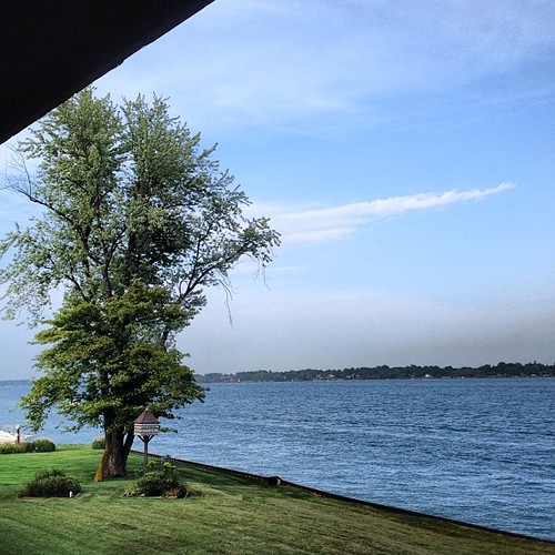
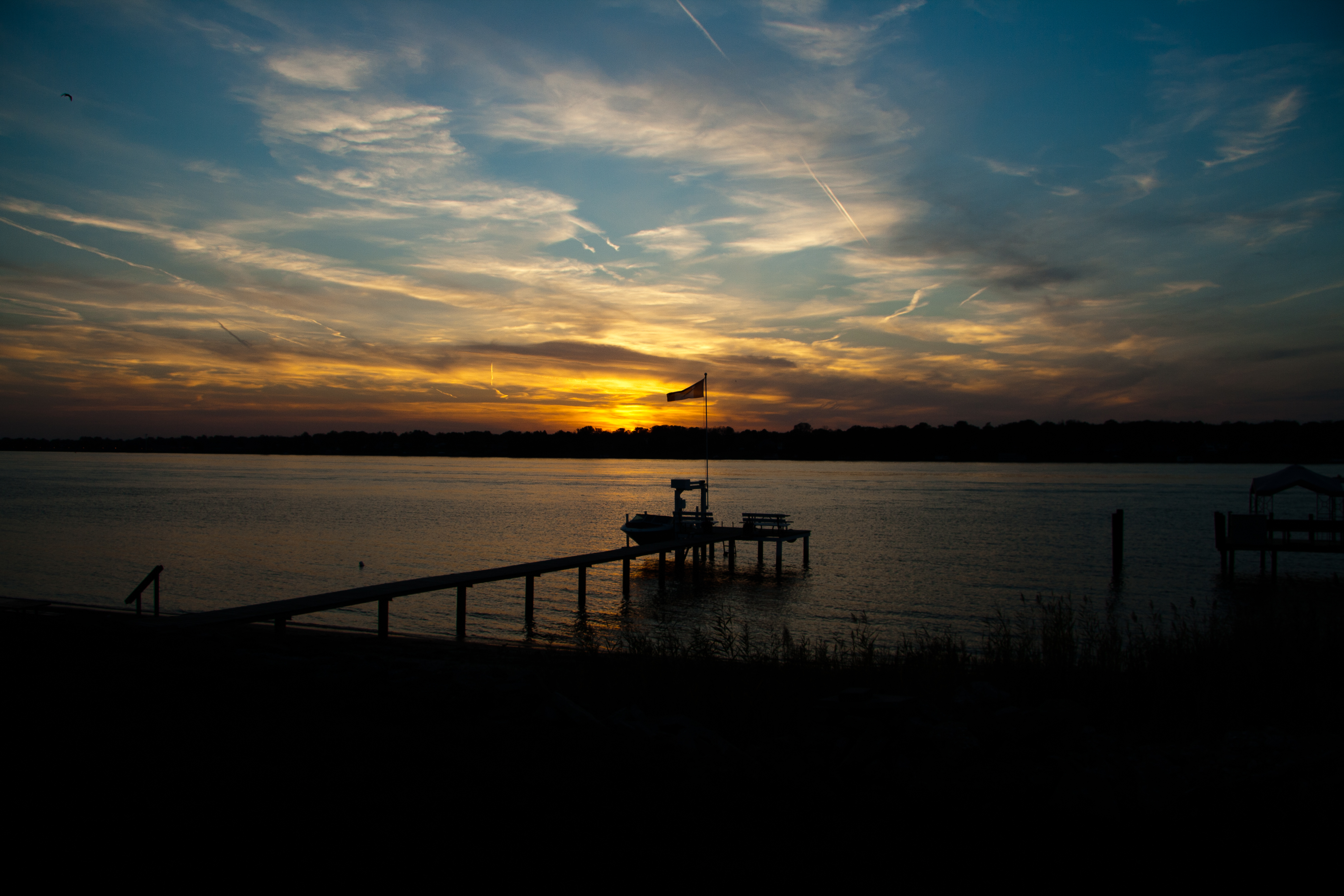
St Clair River view

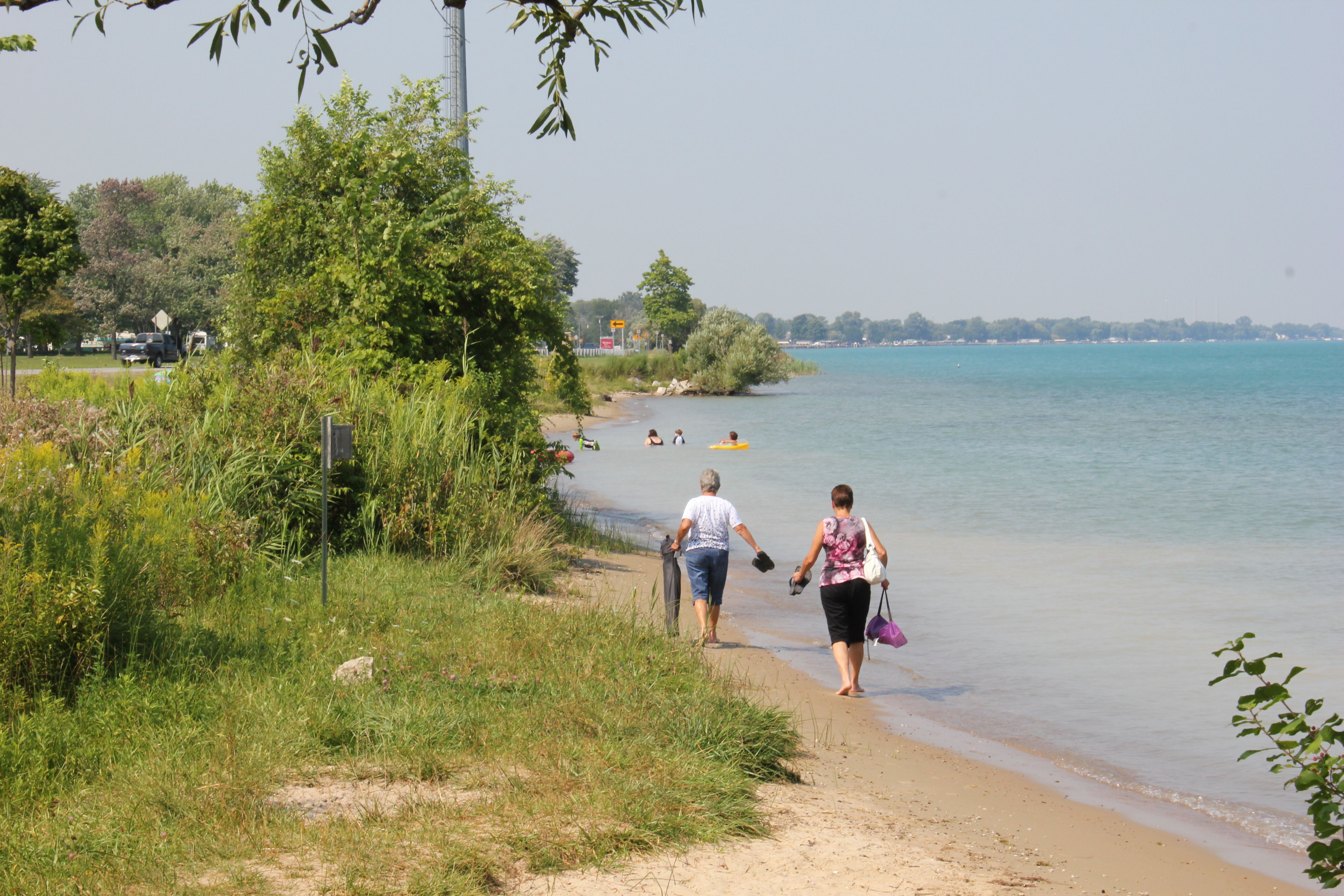
Brander Park

Brander Park
Where Flatness Becomes Extraordinary
Brander Park

"American Mariner" (Filter)
Brander Park
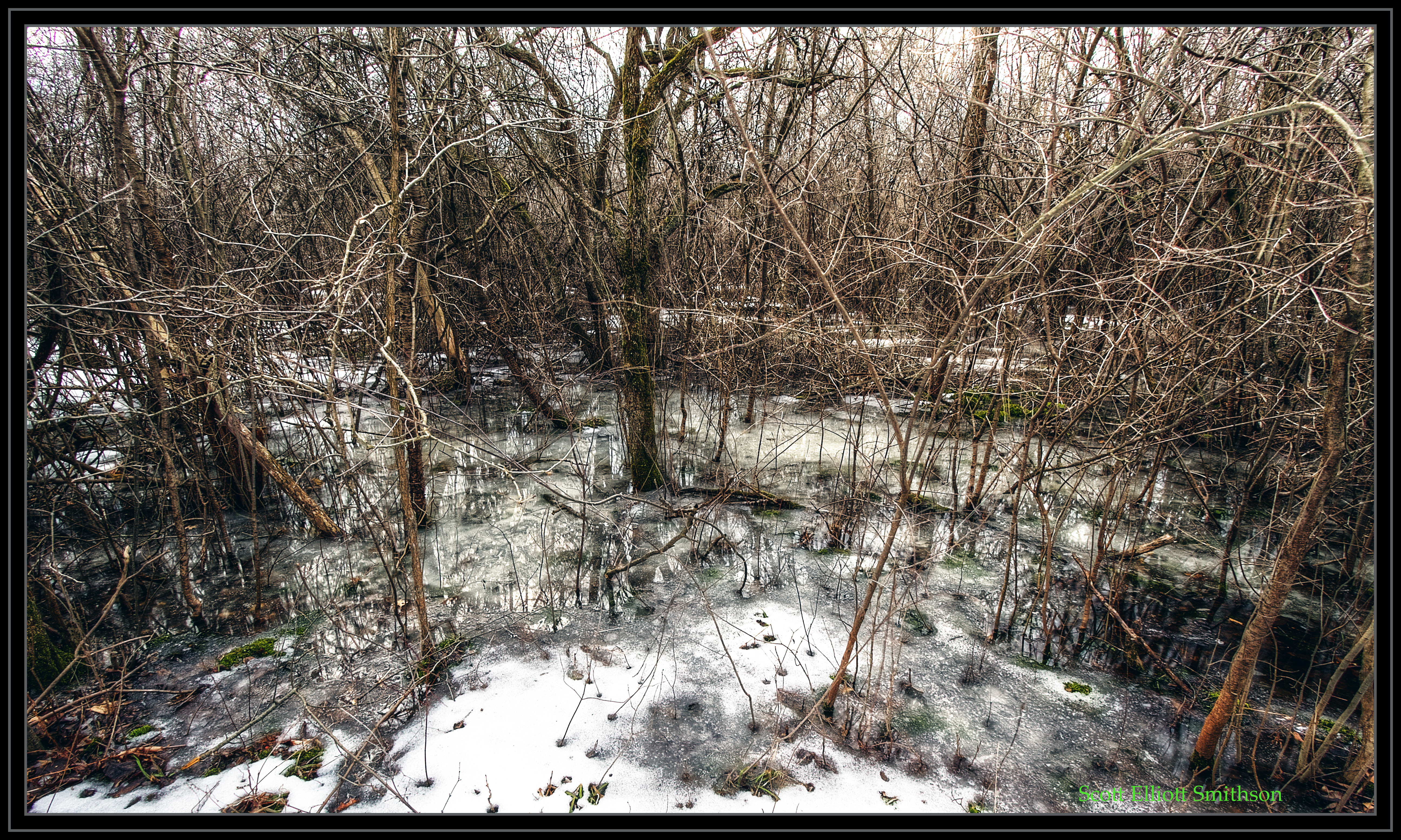
Macabre Wood
Algonac State Park
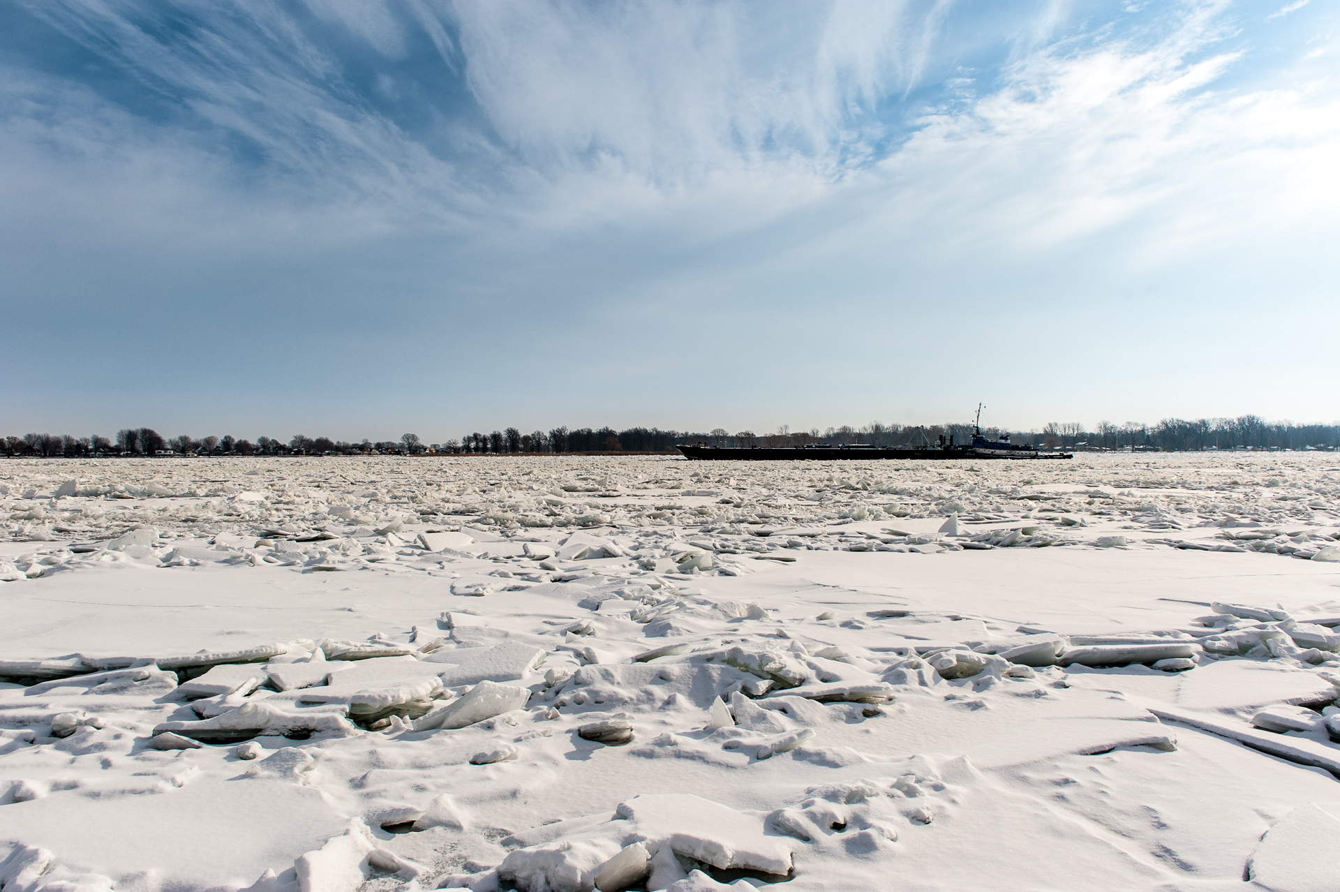
Ice Breaking Operations-2733
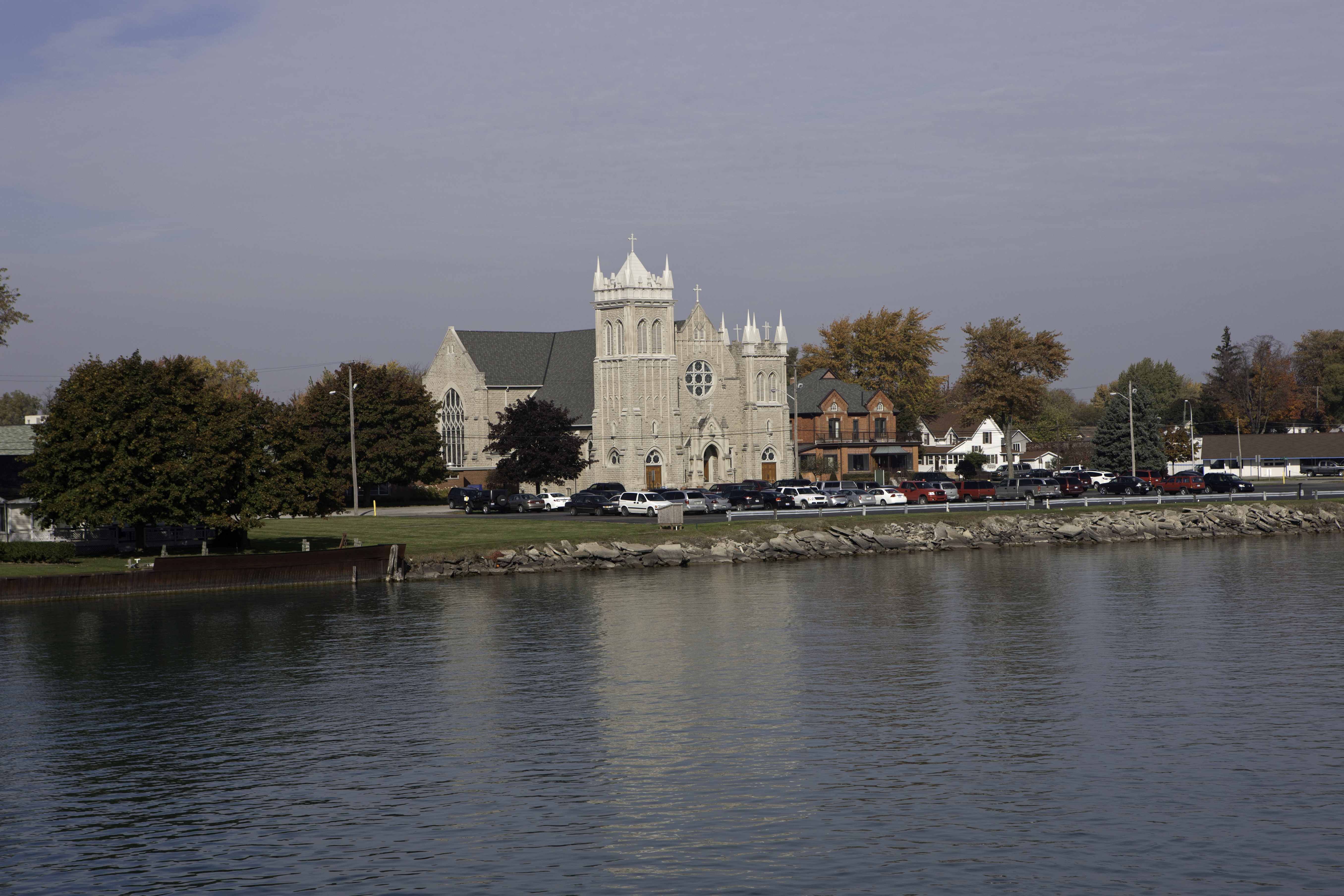
Holy Cross Catholic Church
Algonac State Park
Algonac State Park
Algonac State Park
I Reject the Dwindling Season and Substitute My Own
Indy makes the 180-turn at St. Clair, MI

Hello Michigan
132/365 May 12 - Fool's Gold

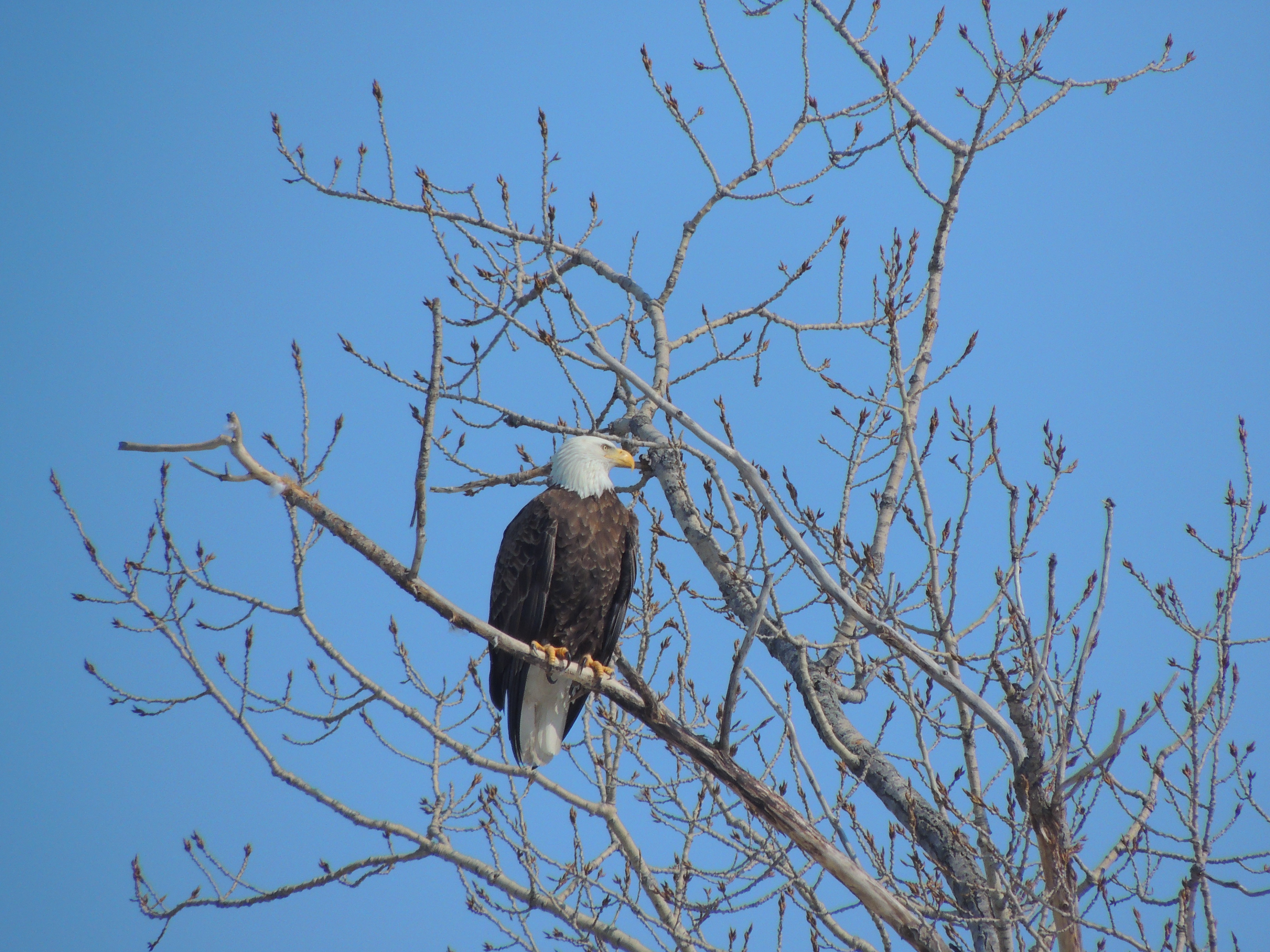
Standing tall

Snow capped
IMG_2969.jpg
Topographic Map of Wilkesport, ON N0P, Canada
Find elevation by address:

Places near Wilkesport, ON N0P, Canada:
Kimball Rd, Sombra, ON N0P 2H0, Canada
521 Bickford Line
1548 Oil Springs Line
St. Clair Township
1637 Stanley Line
2835 St Clair Pkwy
2817 St Clair Pkwy
Ladysmith Rd, Mooretown, ON N0N 1M0, Canada
Brigden Rd, Brigden, ON N0N 1B0, Canada
Brigden
East China
Broadway St, Marine City, MI, USA
Marine City
Courtright
Mooretown
Saint Clair
3402 Evergreen Ct
China Township
Corunna
Saint Clair River
Recent Searches:
- Elevation of Corso Fratelli Cairoli, 35, Macerata MC, Italy
- Elevation of Tallevast Rd, Sarasota, FL, USA
- Elevation of 4th St E, Sonoma, CA, USA
- Elevation of Black Hollow Rd, Pennsdale, PA, USA
- Elevation of Oakland Ave, Williamsport, PA, USA
- Elevation of Pedrógão Grande, Portugal
- Elevation of Klee Dr, Martinsburg, WV, USA
- Elevation of Via Roma, Pieranica CR, Italy
- Elevation of Tavkvetili Mountain, Georgia
- Elevation of Hartfords Bluff Cir, Mt Pleasant, SC, USA