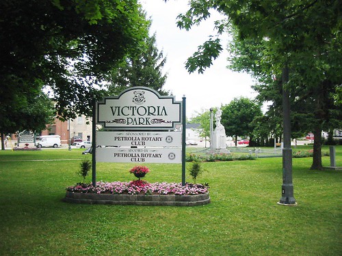
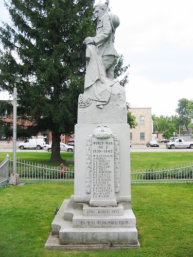
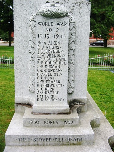
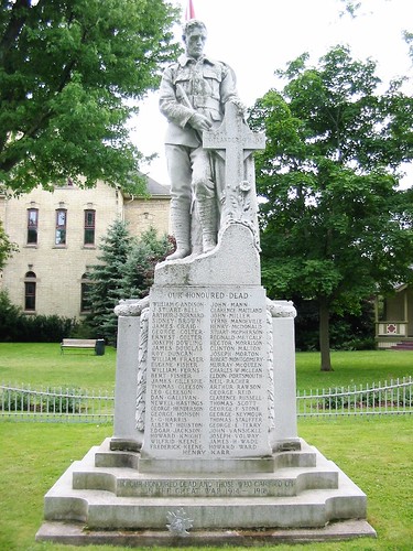
Elevation of Brigden, ON N0N, Canada
Location: Canada > Ontario > Lambton County > St. Clair Township >
Longitude: -82.281787
Latitude: 42.814509
Elevation: 190m / 623feet
Barometric Pressure: 99KPa
Related Photos:
Topographic Map of Brigden, ON N0N, Canada
Find elevation by address:

Places in Brigden, ON N0N, Canada:
Places near Brigden, ON N0N, Canada:
Brigden Rd, Brigden, ON N0N 1B0, Canada
1637 Stanley Line
St. Clair Township
1548 Oil Springs Line
Kimball Rd, Sombra, ON N0P 2H0, Canada
Ladysmith Rd, Mooretown, ON N0N 1M0, Canada
Wilkesport
521 Bickford Line
Mooretown
Corunna
Courtright
2835 St Clair Pkwy
Saint Clair
2817 St Clair Pkwy
East China
Broadway St, Marine City, MI, USA
Marine City
3402 Evergreen Ct
5330 Rattle Run Rd
China Township
Recent Searches:
- Elevation of Corso Fratelli Cairoli, 35, Macerata MC, Italy
- Elevation of Tallevast Rd, Sarasota, FL, USA
- Elevation of 4th St E, Sonoma, CA, USA
- Elevation of Black Hollow Rd, Pennsdale, PA, USA
- Elevation of Oakland Ave, Williamsport, PA, USA
- Elevation of Pedrógão Grande, Portugal
- Elevation of Klee Dr, Martinsburg, WV, USA
- Elevation of Via Roma, Pieranica CR, Italy
- Elevation of Tavkvetili Mountain, Georgia
- Elevation of Hartfords Bluff Cir, Mt Pleasant, SC, USA
