Elevation of Wildwood Dr, Burnsville, NC, USA
Location: United States > North Carolina > Yancey County > Burnsville > Burnsville >
Longitude: -82.329224
Latitude: 35.866878
Elevation: 952m / 3123feet
Barometric Pressure: 90KPa
Elevation Map:
Satellite Map:
Related Photos:
East of Dillingham

Mount Mitchell (First Summit), 2017_05_20
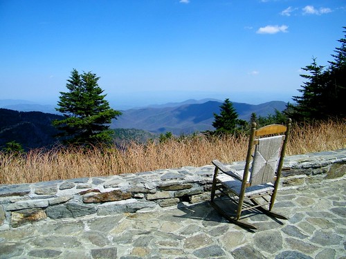
Rocking Chair
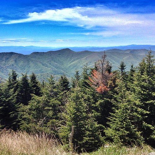
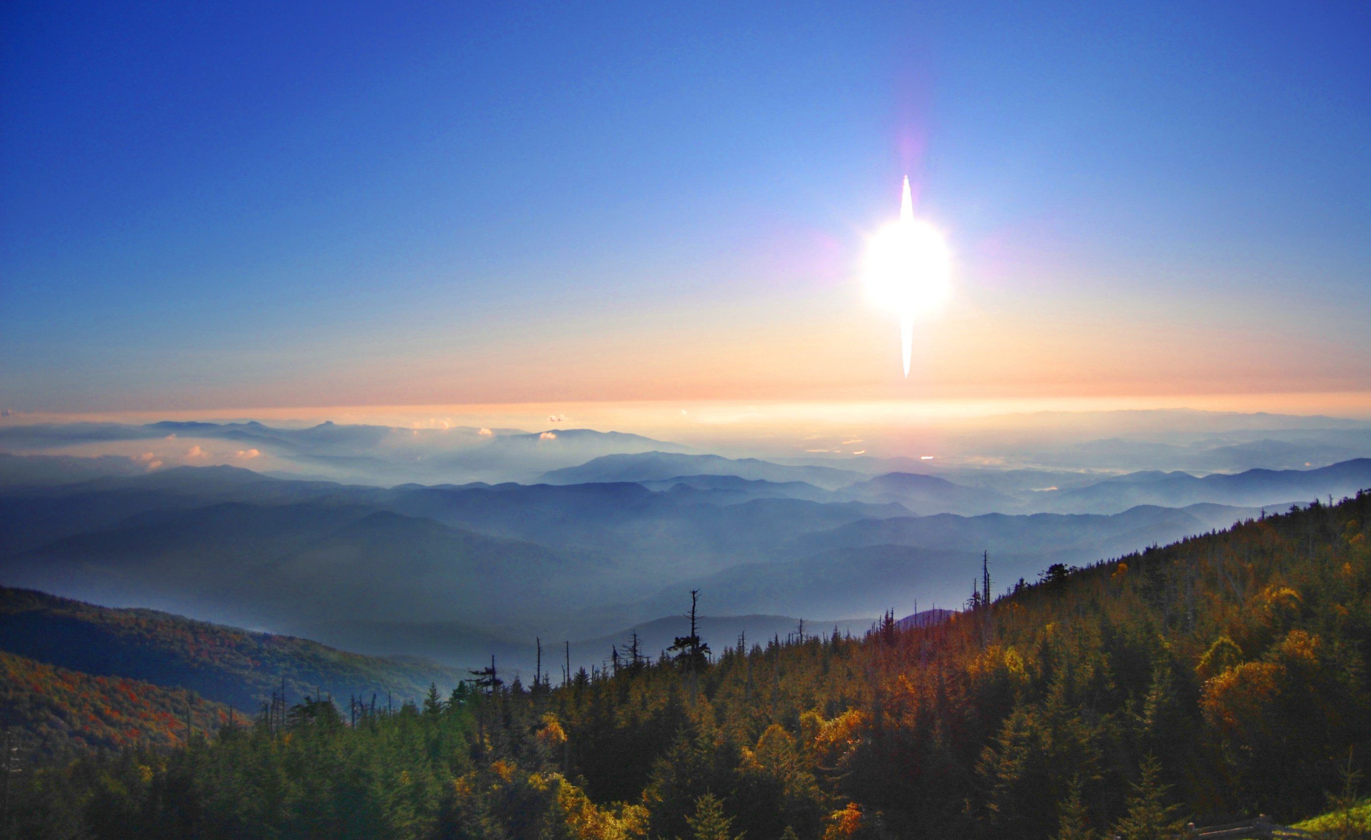
Mt. Mitchell View
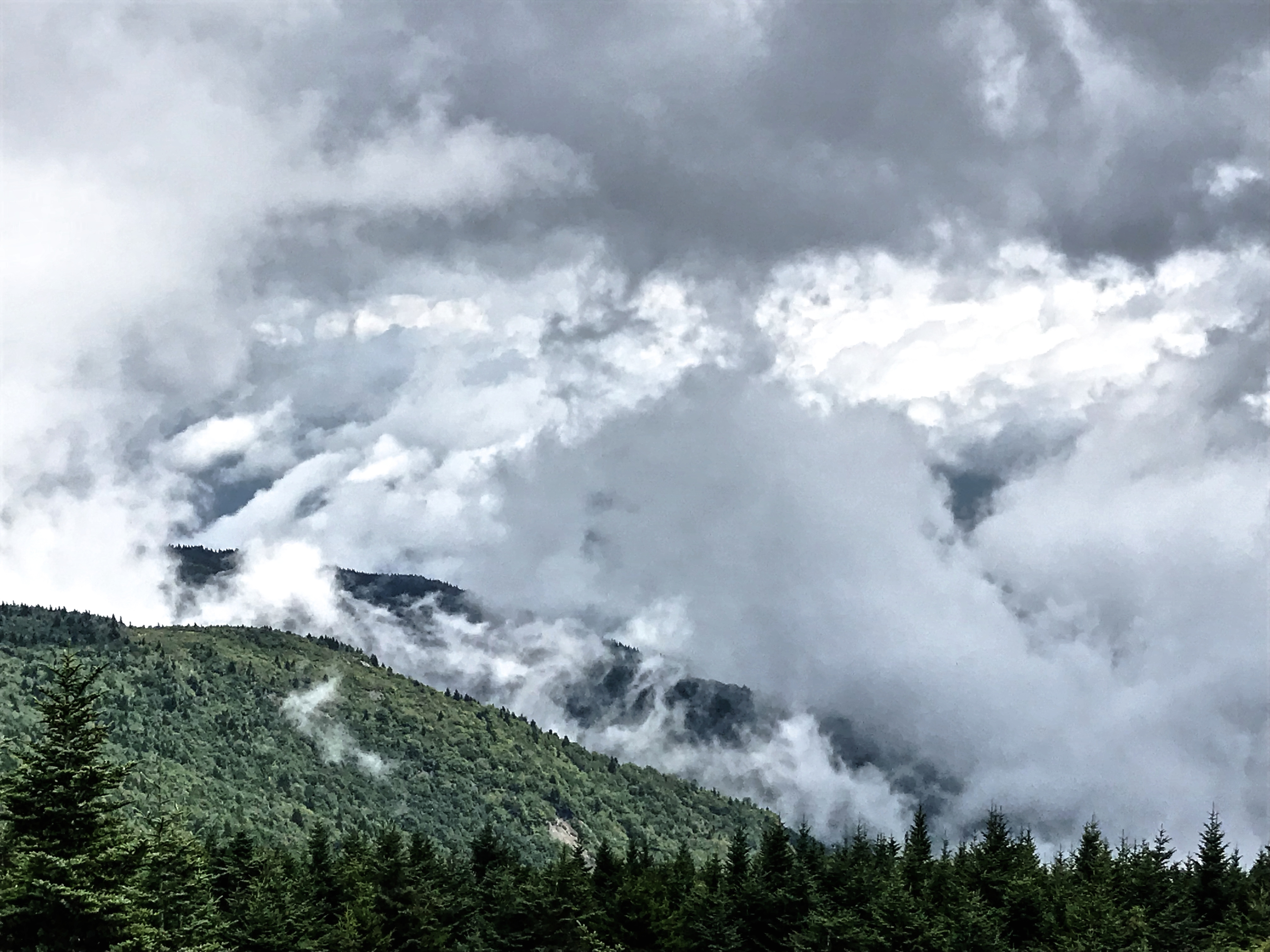
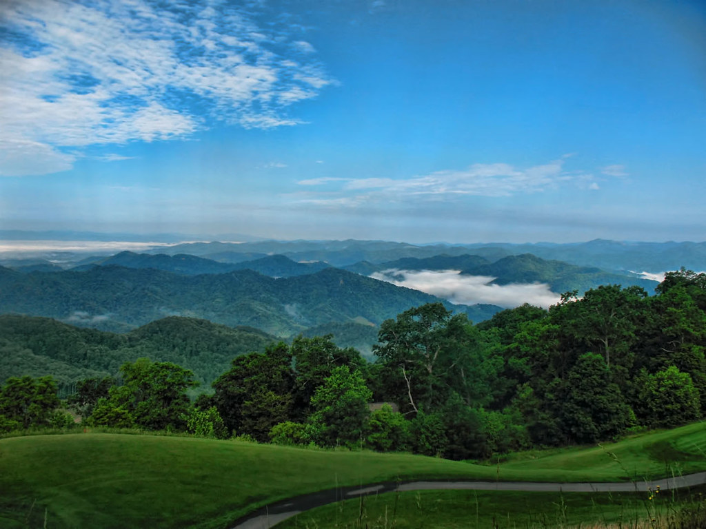
Mt. Mitchell State Park Clouds

So. This isn't a bad view for my back yard. #notcomplaining #waittillwinter
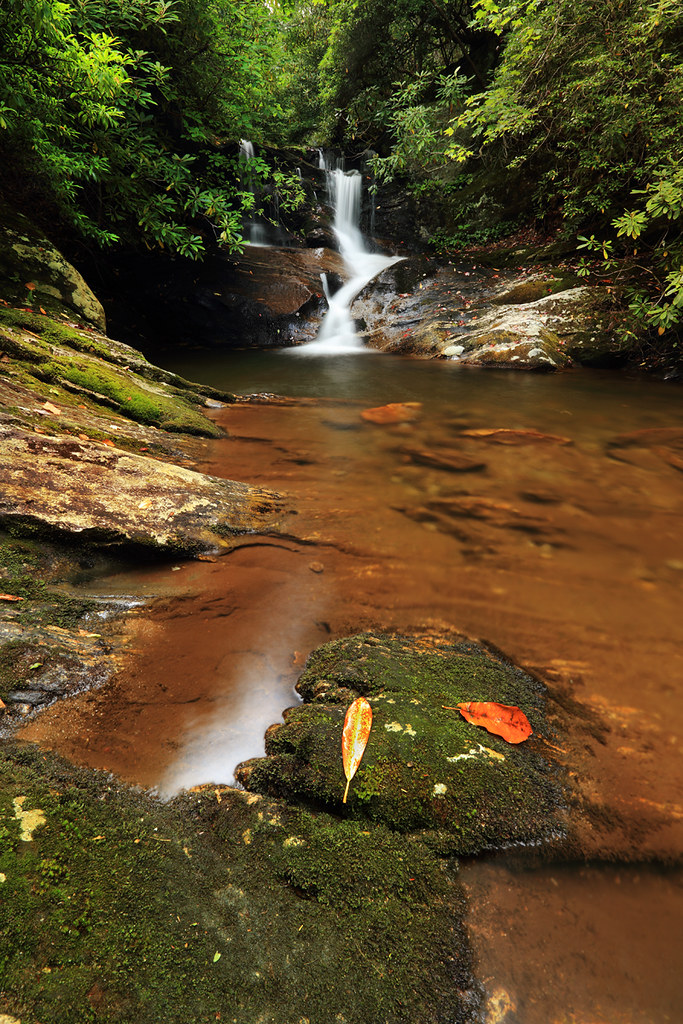
White Oak Creek Falls
View from the Lodge @ Mt. Mitchell State Park - Burnsville, NC

Mount Mitchell State Park Observation Deck

View from Mt. Mitchell
Deep Gap Trail

Dark and Misty
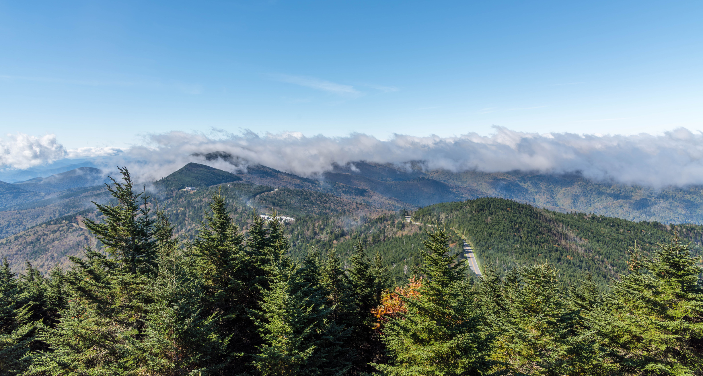
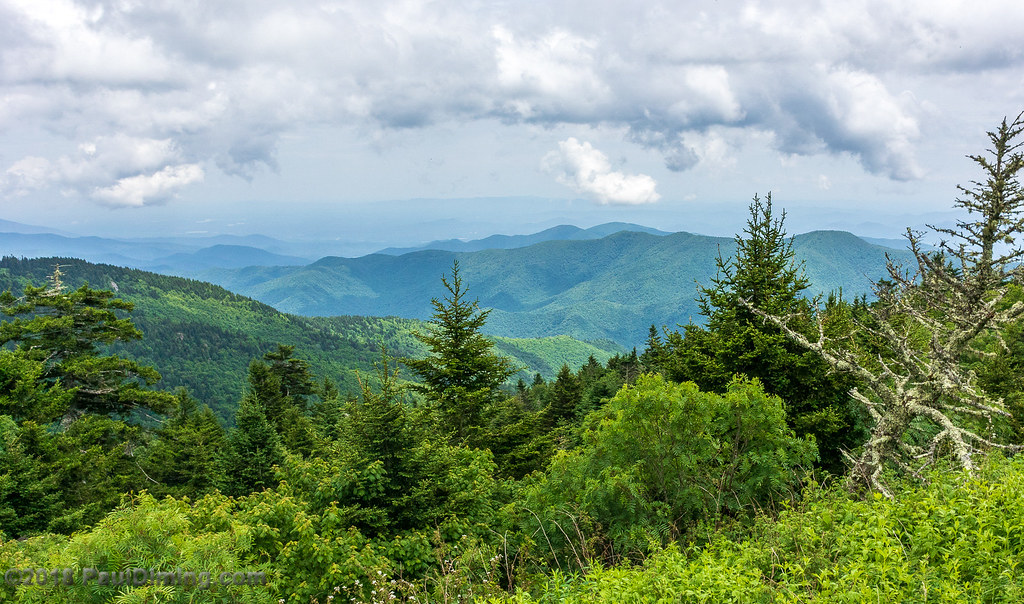
Western North Carolina Mountain View
7-Second Video: Corner Rock Creek, Pisgah National Forest
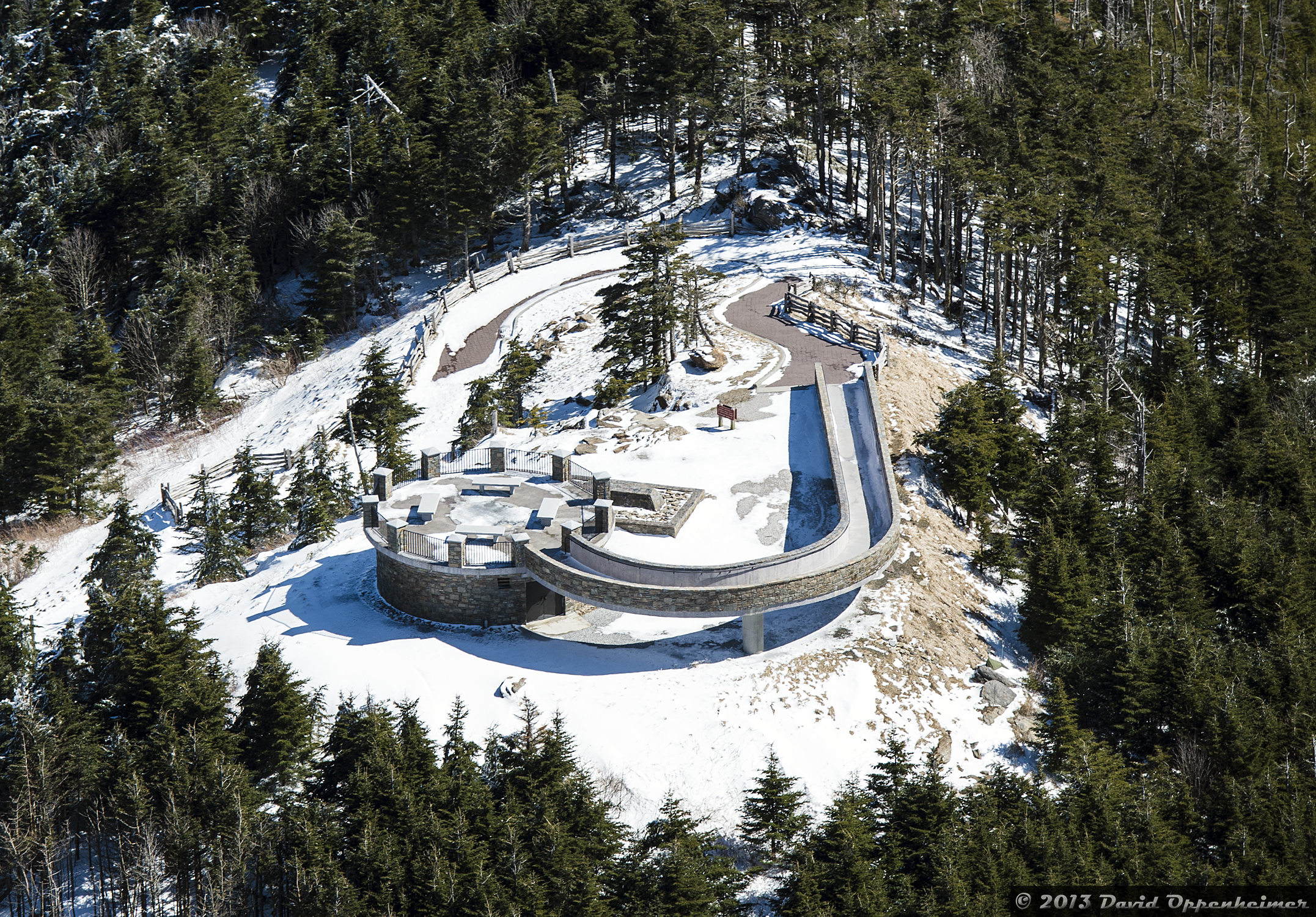
Mount Mitchell State Park Observation Deck

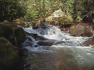
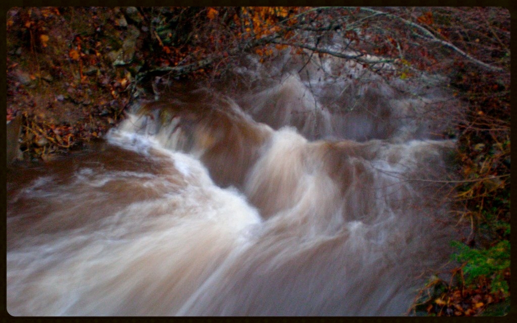
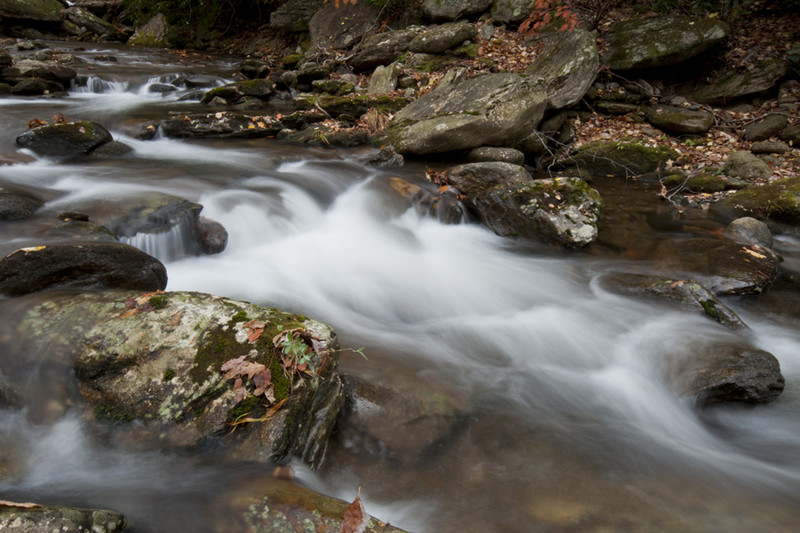
Falls on Whiteoak Creek
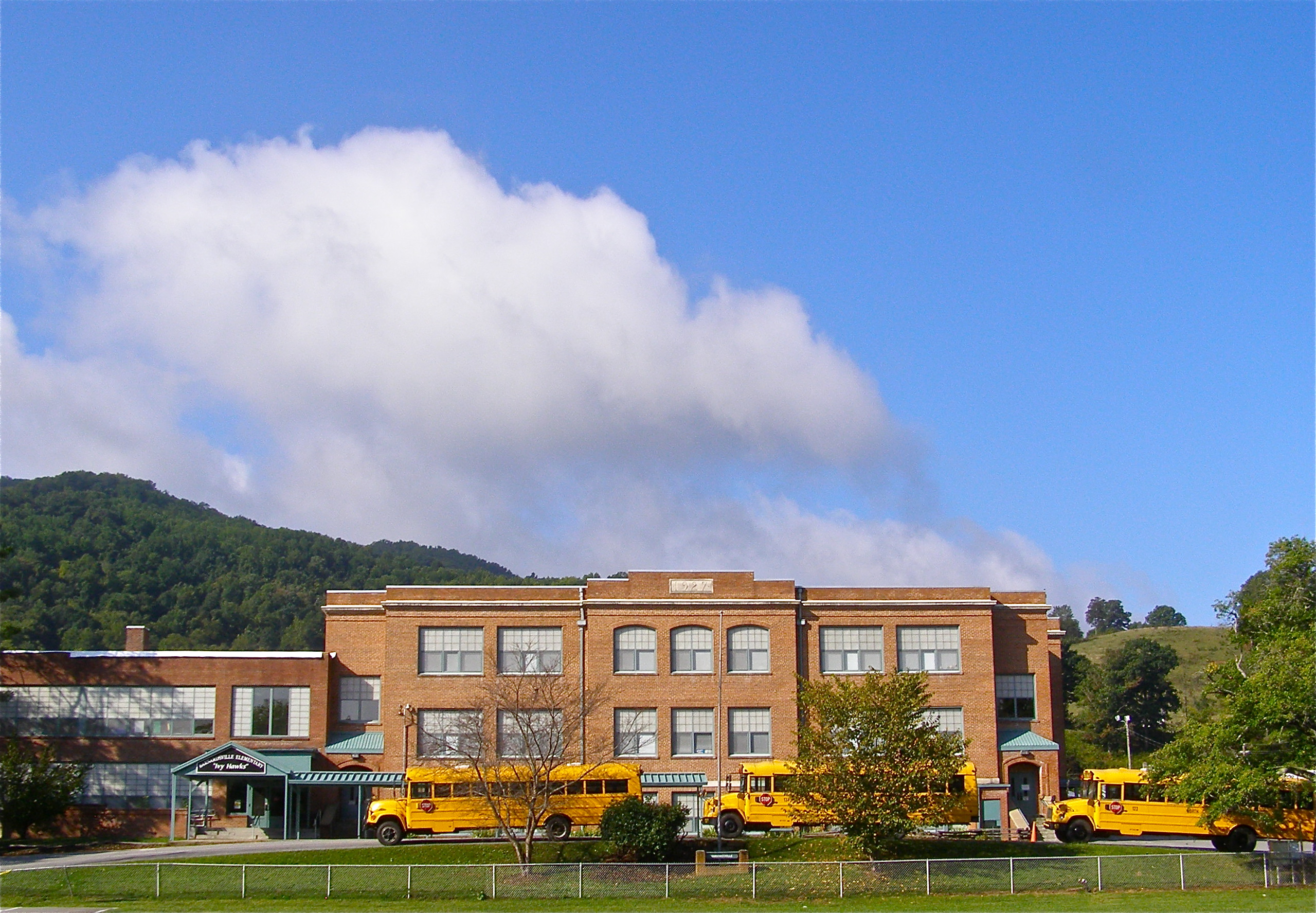
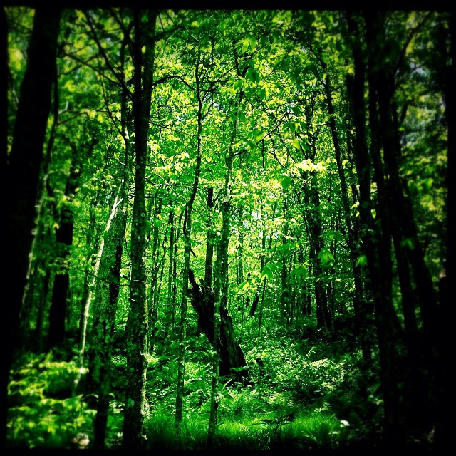
Mountain School
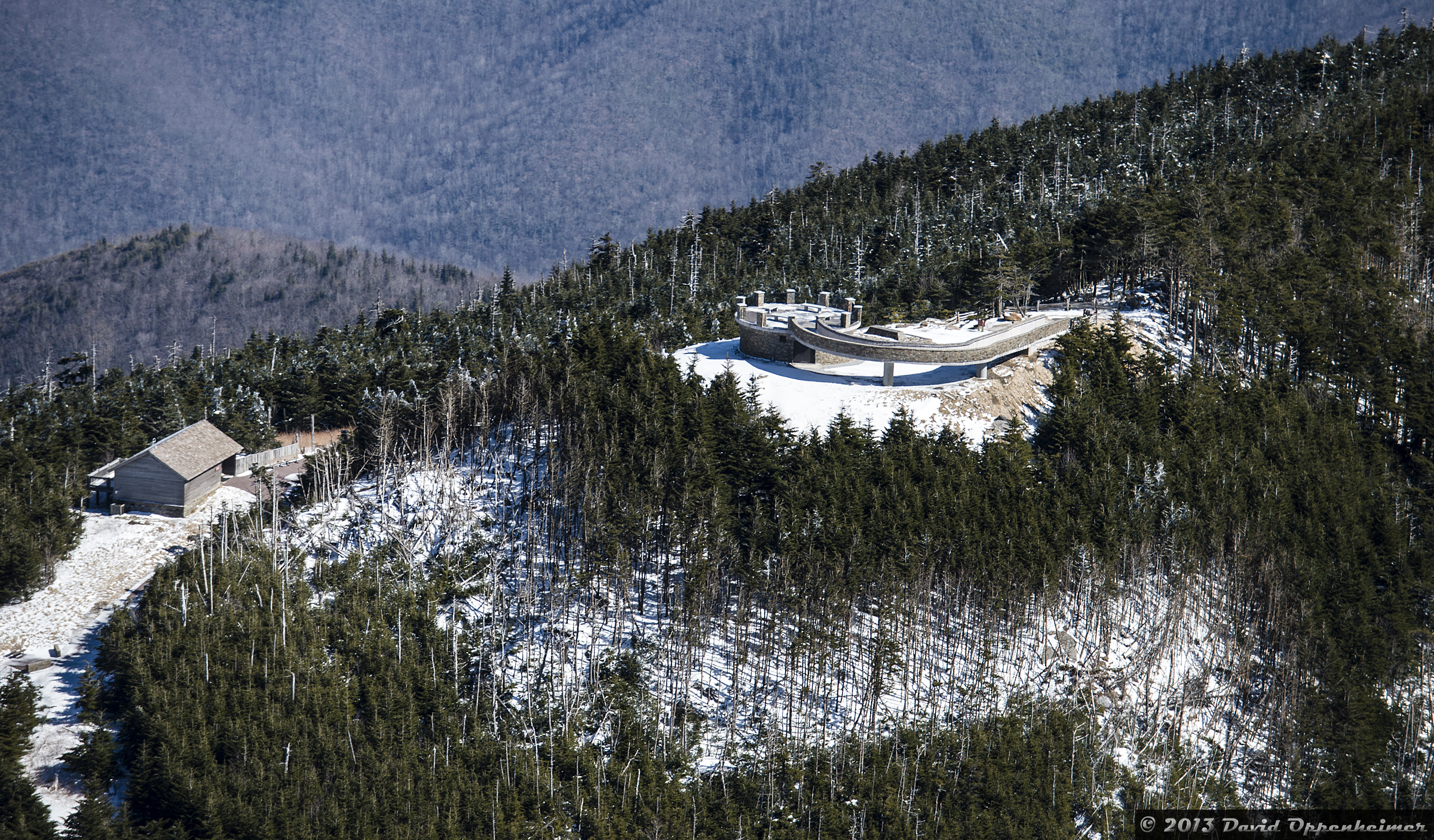
Mount Mitchell State Park Observation Deck

View from Mount Craig. #nofilter #asheville #blueridge

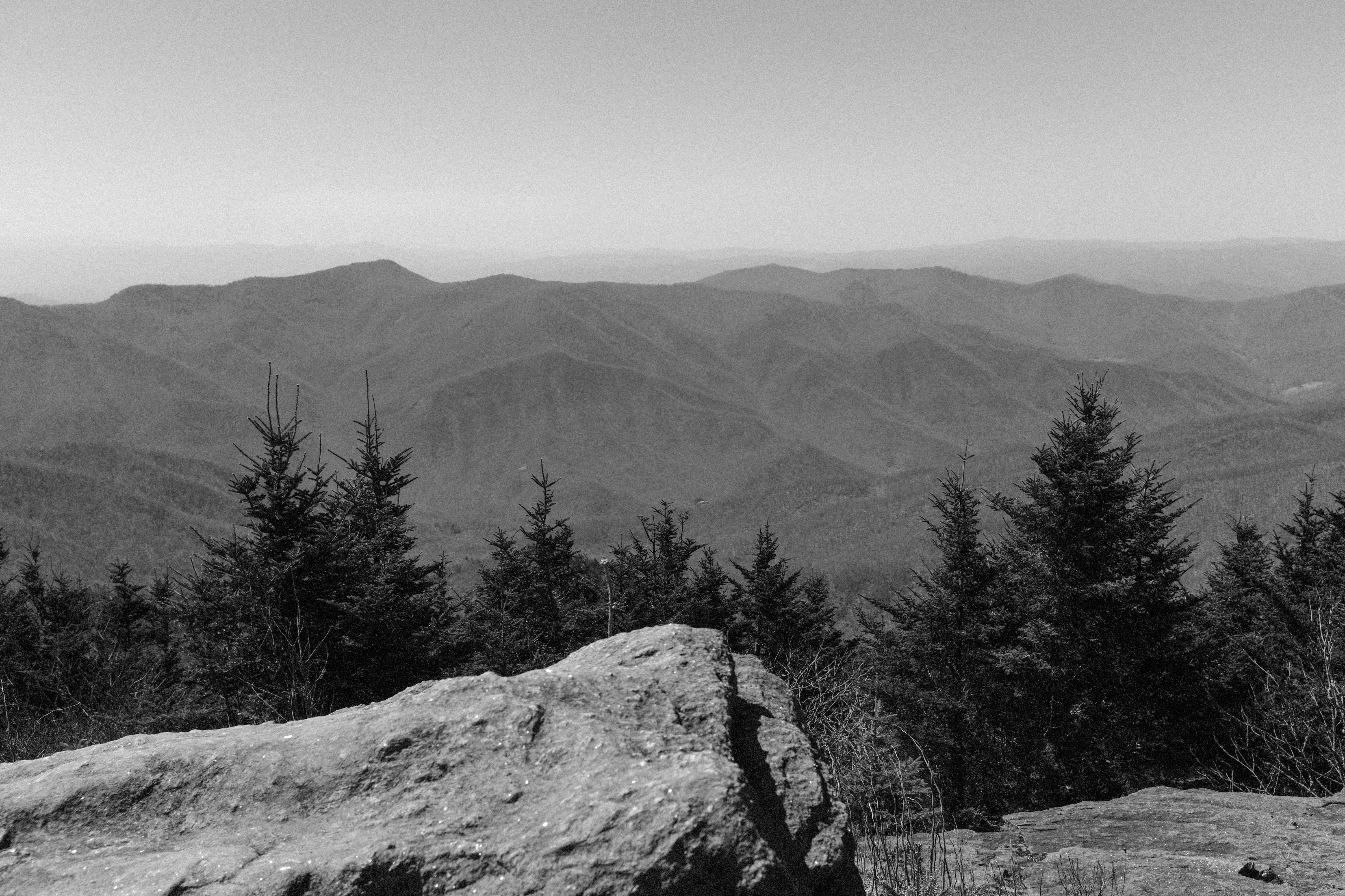
View West from Deep Gap Trail
View from the highest peak east of the Mississippi. #nofilter #blueridge #mtmitchell
The Cure
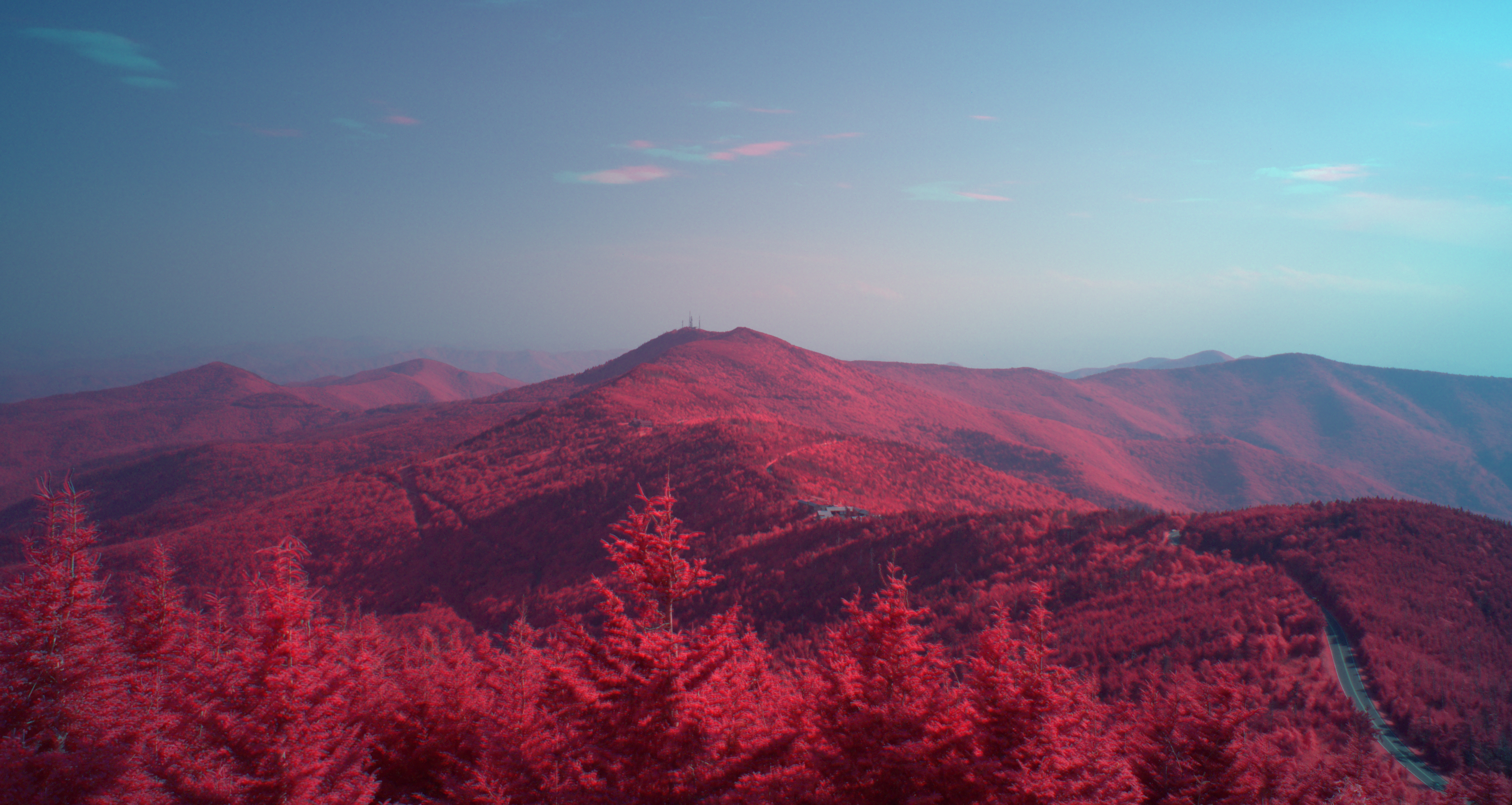
Clingman's Peak from Mount Mitchell
All's Well

Nature and Man

04-IMG_9295

Fog, Grey, Mist--

Magic Autumn Morning
Square Framed
Haw Branch Barns
Brice Loads Along the Toe River

The Summit Looking North
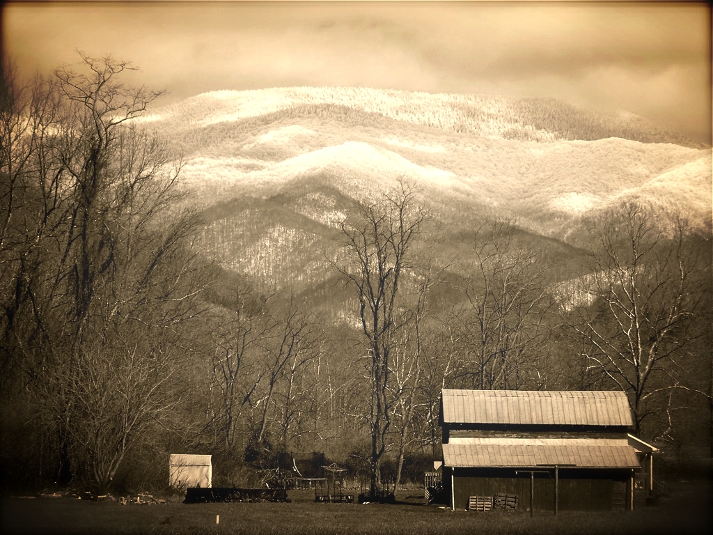
Yesterday's Barn
Mt. Mitchell Fog
You will show me the path of life
Balsam Nature Trail, Mt. Mitchell State Park, North Carolina

Hanging with the Clouds
Mount Mitchell State Park in Autumn Colors
So what does it look like East, then?

After the Storm
My Favorite
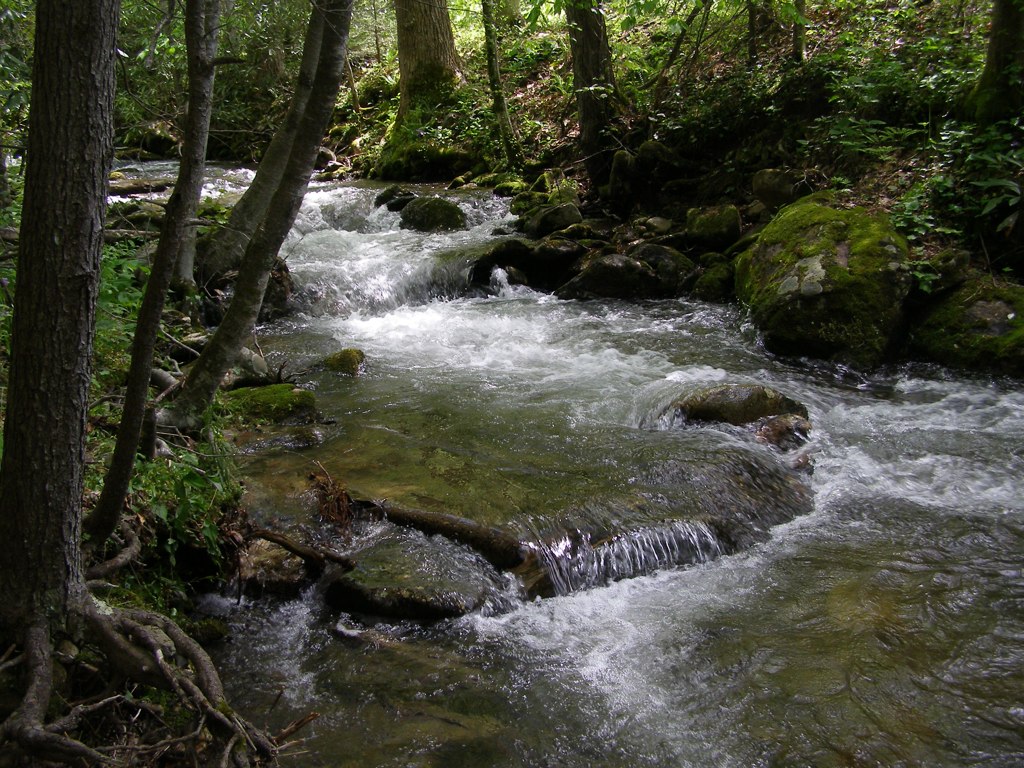
Cascade: Corner Rock Creek
Topographic Map of Wildwood Dr, Burnsville, NC, USA
Find elevation by address:

Places near Wildwood Dr, Burnsville, NC, USA:
618 Wildwood Dr
Concord Church Rd, Burnsville, NC, USA
151 Ivy Ridge Rd
Slickrock Mountain
155 Jumpoff Rock Rd
55 Ivy Point Ln
13 Satellite Mountain Rd
Satellite Mountain Road
21 Lookout Loop
2520 Mountain Air Dr
24 Hardwood Rd
218 Slickrock Rd
Mountain Creek Lane
Mountain Creek Lane
Mountain Creek Lane
309 Winterberry Rd
30 Club Villa Ct
202 Old Growth Forest Rd
105 Brandy Run Rd
96 Wormy Chestnut Rd
Recent Searches:
- Elevation of Corso Fratelli Cairoli, 35, Macerata MC, Italy
- Elevation of Tallevast Rd, Sarasota, FL, USA
- Elevation of 4th St E, Sonoma, CA, USA
- Elevation of Black Hollow Rd, Pennsdale, PA, USA
- Elevation of Oakland Ave, Williamsport, PA, USA
- Elevation of Pedrógão Grande, Portugal
- Elevation of Klee Dr, Martinsburg, WV, USA
- Elevation of Via Roma, Pieranica CR, Italy
- Elevation of Tavkvetili Mountain, Georgia
- Elevation of Hartfords Bluff Cir, Mt Pleasant, SC, USA