Elevation of Wilderness Rd, Bland, VA, USA
Location: United States > Virginia > Bland County > >
Longitude: -80.9627546
Latitude: 37.1855783
Elevation: 654m / 2146feet
Barometric Pressure: 0KPa
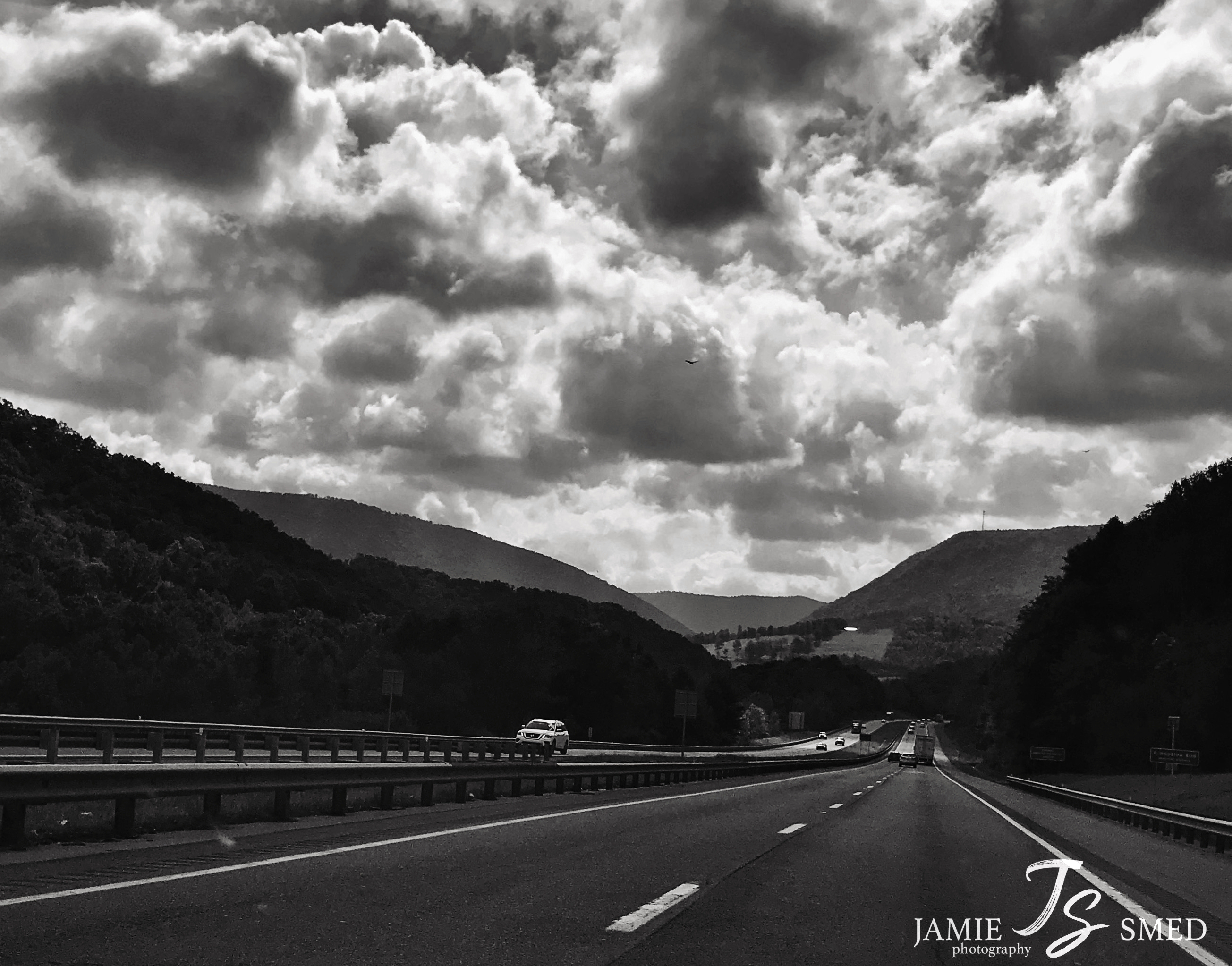
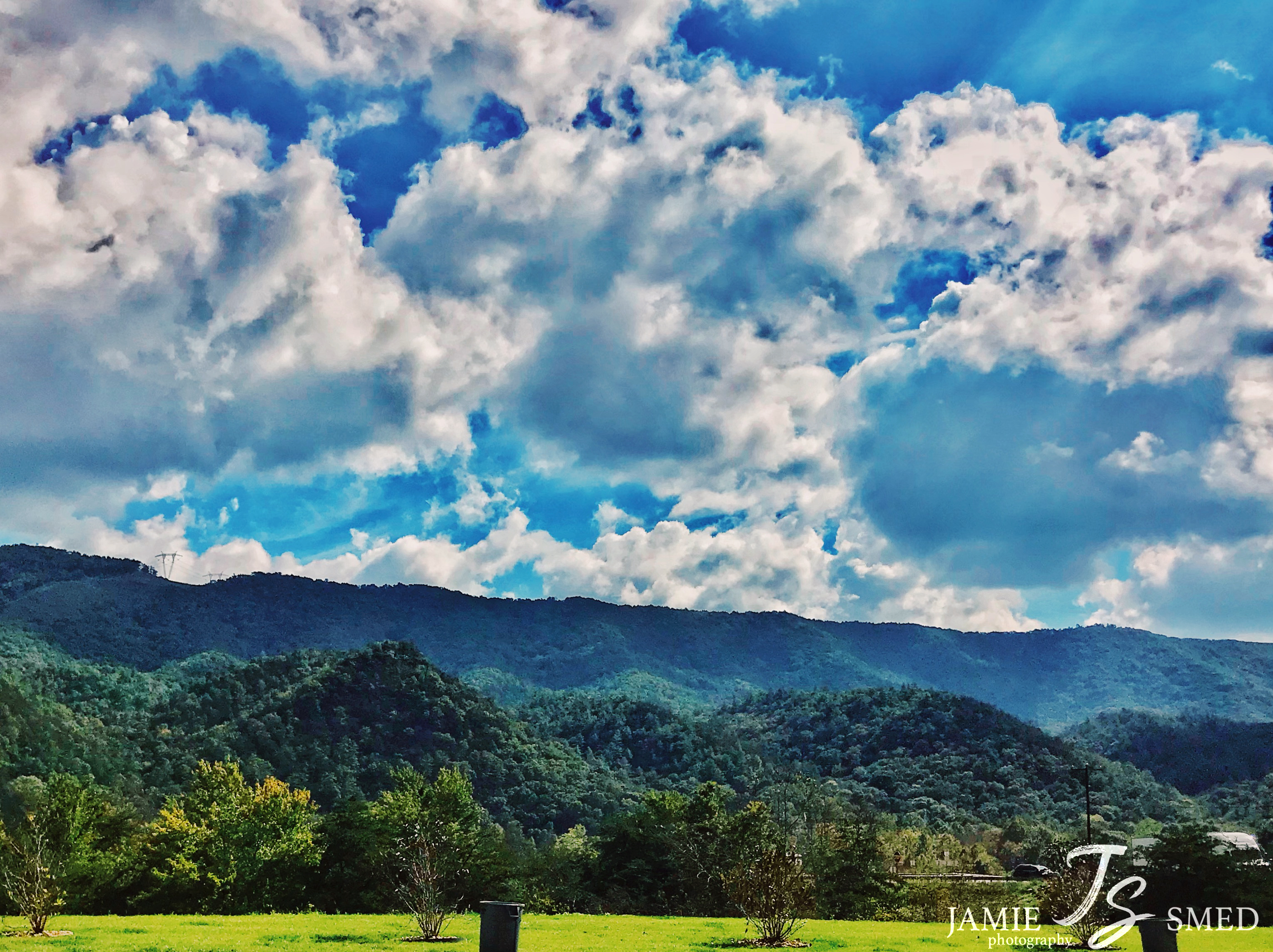
Related Photos:

2012 and 2013 memories, respectively, of writing years on roadsides in the night in rural Virginia.

Fall drive

IMG_7146.JPG

IMG_7182.JPG
IMG_2369.JPG

P5069309.JPG

P5069308.JPG

P5069290.JPG

IMG_2305.JPG

P5069293.JPG

P5069301.JPG

P5069298.JPG

P5069288.JPG

JFRM-2017-05-7741-Pano.jpg

Wolf Creek Bridge

The Low Road

Thru-Hikers at Dismal Falls

Falls Of Dismal

Eastern Fox Squirrel

IMG_4587.JPG
IMG_4735.JPG

IMG_4433.JPG
Topographic Map of Wilderness Rd, Bland, VA, USA
Find elevation by address:

Places near Wilderness Rd, Bland, VA, USA:
5749 Wilderness Rd
5749 Wilderness Rd
3, VA, USA
E Blue Grass Trail, Bland, VA, USA
Kimberling Road
Kimberling Road
Kimberling Road
527 No Business Rd
527 No Business Rd
6903 Wolf Creek Hwy
1754 Little Creek Rd
2, VA, USA
2764 Shady Branch Cir
515 Walkers Creek Rd
4, VA, USA
376 Southview Ln
168 Southview Ln
8955 N Scenic Hwy
Rocky Gap
Hogback Ridge Road
Recent Searches:
- Elevation of 10370, West 107th Circle, Westminster, Jefferson County, Colorado, 80021, USA
- Elevation of 611, Roman Road, Old Ford, Bow, London, England, E3 2RW, United Kingdom
- Elevation of 116, Beartown Road, Underhill, Chittenden County, Vermont, 05489, USA
- Elevation of Window Rock, Colfax County, New Mexico, 87714, USA
- Elevation of 4807, Rosecroft Street, Kempsville Gardens, Virginia Beach, Virginia, 23464, USA
- Elevation map of Matawinie, Quebec, Canada
- Elevation of Sainte-Émélie-de-l'Énergie, Matawinie, Quebec, Canada
- Elevation of Rue du Pont, Sainte-Émélie-de-l'Énergie, Matawinie, Quebec, J0K2K0, Canada
- Elevation of 8, Rue de Bécancour, Blainville, Thérèse-De Blainville, Quebec, J7B1N2, Canada
- Elevation of Wilmot Court North, 163, University Avenue West, Northdale, Waterloo, Region of Waterloo, Ontario, N2L6B6, Canada
- Elevation map of Panamá Province, Panama
- Elevation of Balboa, Panamá Province, Panama
- Elevation of San Miguel, Balboa, Panamá Province, Panama
- Elevation of Isla Gibraleón, San Miguel, Balboa, Panamá Province, Panama
- Elevation of 4655, Krischke Road, Schulenburg, Fayette County, Texas, 78956, USA
- Elevation of Carnegie Avenue, Downtown Cleveland, Cleveland, Cuyahoga County, Ohio, 44115, USA
- Elevation of Walhonding, Coshocton County, Ohio, USA
- Elevation of Clifton Down, Clifton, Bristol, City of Bristol, England, BS8 3HU, United Kingdom
- Elevation map of Auvergne-Rhône-Alpes, France
- Elevation map of Upper Savoy, Auvergne-Rhône-Alpes, France