Elevation of Wild Rose Ln, Burnsville, NC, USA
Location: United States > North Carolina > Yancey County > Burnsville > Burnsville >
Longitude: -82.322451
Latitude: 35.903489
Elevation: 890m / 2920feet
Barometric Pressure: 91KPa
Elevation Map:
Satellite Map:
Related Photos:
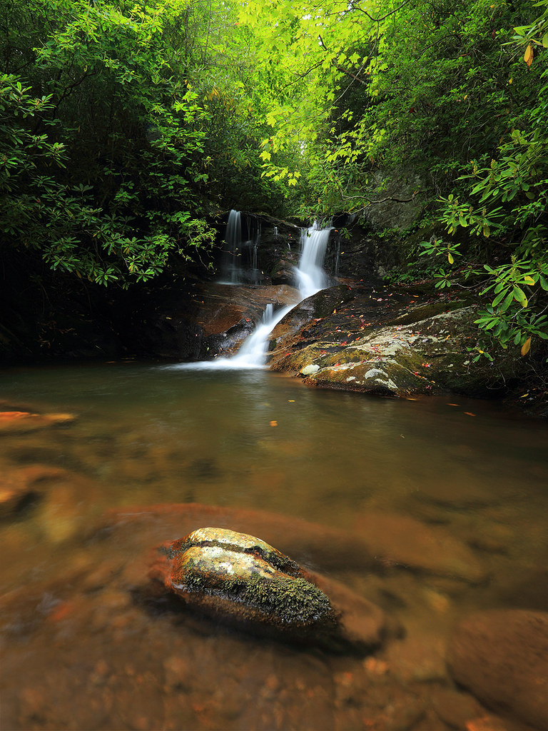
White Oak Creek

Deep Gap Trail

A rural mountain church in Kona, NC

church in the rain

The View From The Top: Mountains
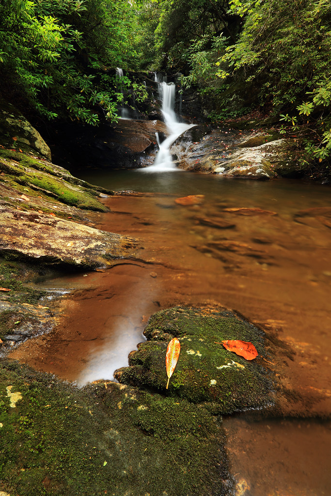
White Oak Creek Falls
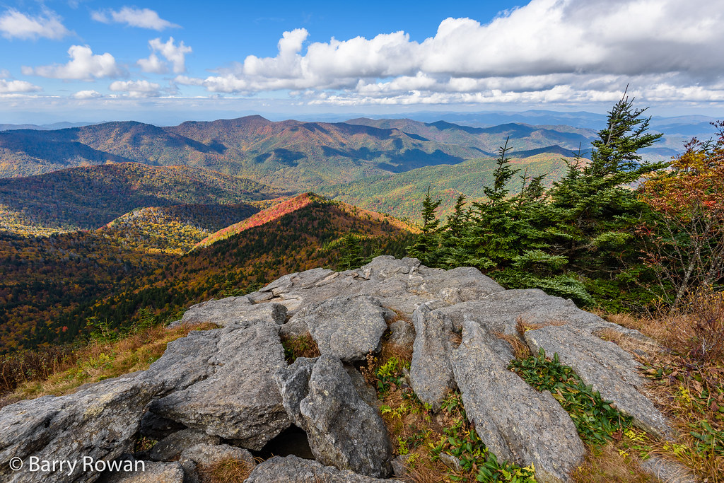
View from Mt. Mitchell

Western North Carolina Mountain View

Falls on Whiteoak Creek

View from Mount Craig. #nofilter #asheville #blueridge

View West from Deep Gap Trail

View West from Deep GapTrail

NC 197 (Fall, 2010)

Black Mountain Crest Trail

Mount Mitchell

Black Mountain Crest Trail

NC 197 (Fall, 2010)

Black Mountain Crest Trail

NC 197 Fall Trip [10/16/2011]

Black Mountain Crest Trail

Black Mountain Crest Trail

The Cure

My Favorite

CSX Q692 @ Green Mountain

Whiteoak Creek Falls

Igneous or Metamorphic rock @ Mt Mitchell State Park - Yancey County, NC

Firs Bracket Mountain Peaks Wreathed in Clouds at Mount Mitchell State Park

Light On The Hill: WNC

The light fades so quickly here at the farm in the winter. Soft light through bare trees, and peace. #nature #appalachia #riversongmountainsanctuary #wildkatuahhealingarts

Brice Loads Along the Toe River

You will show me the path of life

Balsam Nature Trail, Mt. Mitchell State Park, North Carolina

Mount Mitchell State Park in Autumn Colors

Mount Mitchell State Park

Mount Mitchell

Autumn Colors of Foliage in Mount Mitchell State Park
Topographic Map of Wild Rose Ln, Burnsville, NC, USA
Find elevation by address:

Places near Wild Rose Ln, Burnsville, NC, USA:
75 E Pasture Dr
Green Cove Properties
Barebridge Drive
33 Cherry Ln
185 Mountain View Rd
127 Comfort Pl
100 Summer Breeze Ln
Mountain View Road
204 Sandy Way
1261 Charlie Brown Rd
Sunrise Lane
Sunrise Lane
300 Peacock Ln
643 Hickory Ln
41 Peacock Ln
142 Riverside Drive
616 Clear View Ln
679 Clear View Ln
87 Myers Ln
408 Sheriff Anglin Rd
Recent Searches:
- Elevation of Corso Fratelli Cairoli, 35, Macerata MC, Italy
- Elevation of Tallevast Rd, Sarasota, FL, USA
- Elevation of 4th St E, Sonoma, CA, USA
- Elevation of Black Hollow Rd, Pennsdale, PA, USA
- Elevation of Oakland Ave, Williamsport, PA, USA
- Elevation of Pedrógão Grande, Portugal
- Elevation of Klee Dr, Martinsburg, WV, USA
- Elevation of Via Roma, Pieranica CR, Italy
- Elevation of Tavkvetili Mountain, Georgia
- Elevation of Hartfords Bluff Cir, Mt Pleasant, SC, USA