Elevation of Wilbraham, MA, USA
Location: United States > Massachusetts > Hampden County > Wilbraham > Wilbraham > Wilbraham >
Longitude: -72.437649
Latitude: 42.1300574
Elevation: 75m / 246feet
Barometric Pressure: 100KPa
Elevation Map:
Satellite Map:
Related Photos:

Lily Pond ~ Forest Park
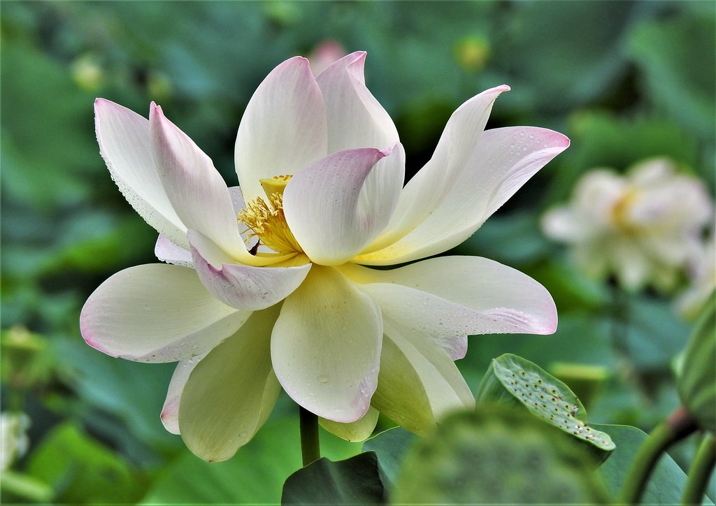
Lily Pond ~ Forest Park

Last lilies of the season...

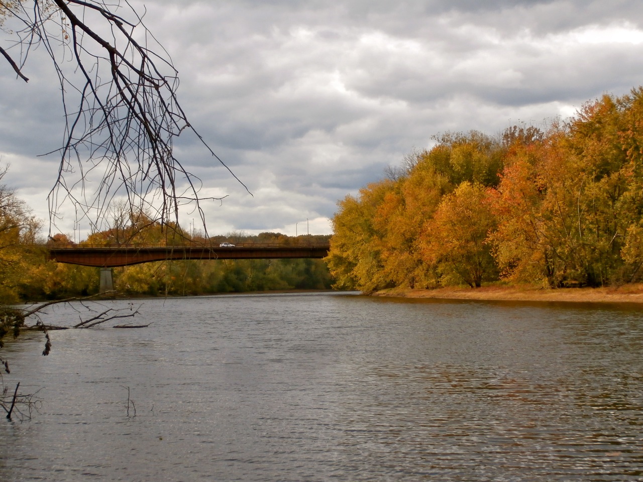
Downstream...

Pioneer Valley Street Running

The Back Streets of The Paper City
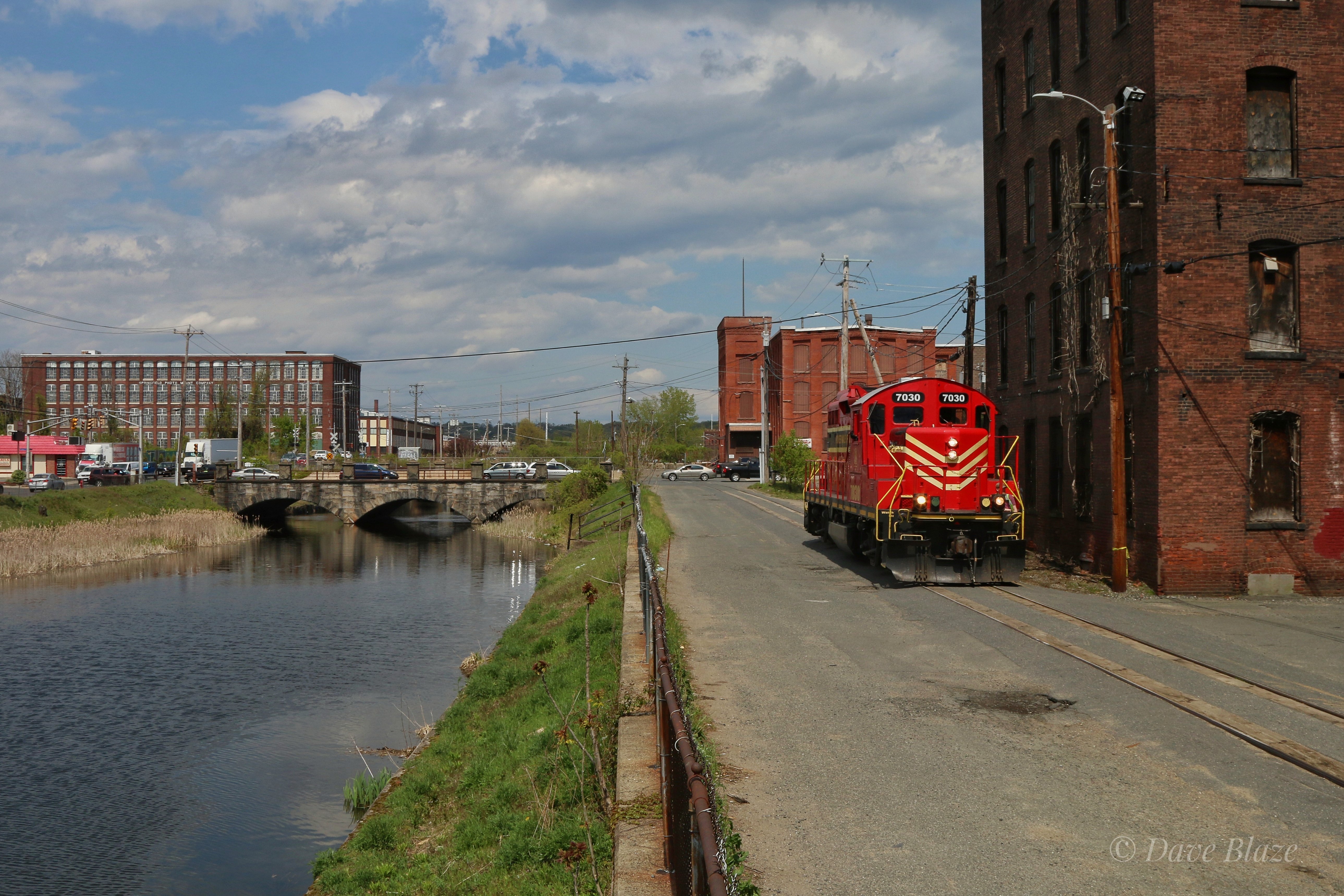
PVRR Returning From the Interchange

Chicopee River view from the bridge.

Happy Birthday America!

Budweiser Clydesdale Horse Team

It's just Water over the Dam
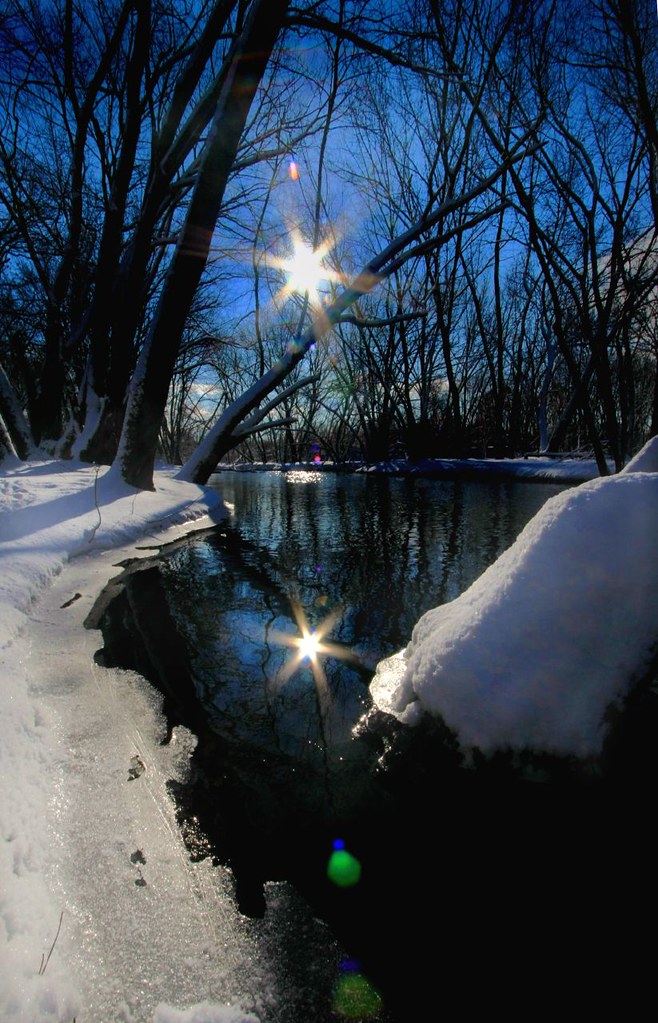
Star Power

Second Gear

Bogan Lane Mid-century Modern

Dam Pretty

Life Wobbles On

Fire & Ice

Angry Skies

OOPS!

Time for a Drink

Tower Moon

Hidden Brook Farm ~ Hampden MA

Home bound

No Longer Used

berries encased in ice

Classic Beauty

Wild Water Buffalo ( or they might be cows)

Alone with the River
Tree in the River

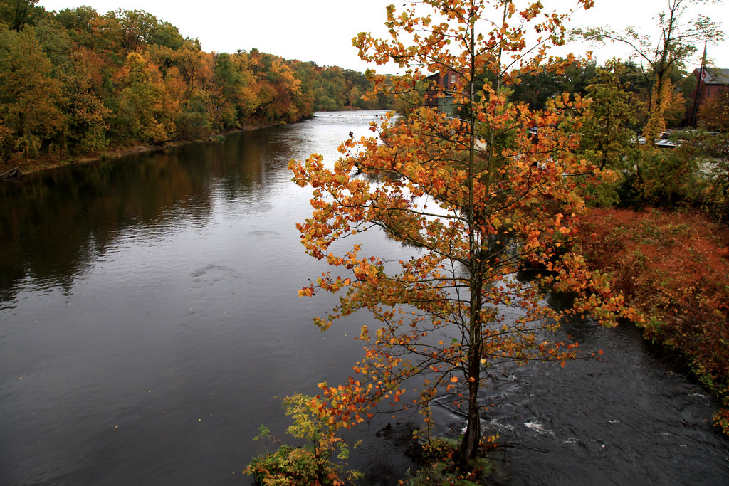
Reflections of the late Autumn

Spring Flow

Novak and kids in stream

Woosh!
Hwy-5 Bridge, Agawam River

Springfield Armory Square

Chicopee Mills

Tree Silhouetted Against the Sunset

Under Stafford Hollow Road

Military Fly-Over on my ride this AM. Thank you for what you do.
Topographic Map of Wilbraham, MA, USA
Find elevation by address:

Places near Wilbraham, MA, USA:
Wilbraham
Wilbraham
Wilbraham & Monson Academy
Wilbraham
51 Monson Rd
12 Federal Ln
1 Federal Ln
911 Stony Hill Rd
66 Circuit Ave
6 Hickory Hill Dr
528 Springfield St
44 Longview Cir
308 Miller St
Ludlow Plaza
39 Thyme Ln
118 Ray St
36 Quentin Rd
18 Tinkham Glen
Ludlow
208 Mary Coburn Rd
Recent Searches:
- Elevation of Corso Fratelli Cairoli, 35, Macerata MC, Italy
- Elevation of Tallevast Rd, Sarasota, FL, USA
- Elevation of 4th St E, Sonoma, CA, USA
- Elevation of Black Hollow Rd, Pennsdale, PA, USA
- Elevation of Oakland Ave, Williamsport, PA, USA
- Elevation of Pedrógão Grande, Portugal
- Elevation of Klee Dr, Martinsburg, WV, USA
- Elevation of Via Roma, Pieranica CR, Italy
- Elevation of Tavkvetili Mountain, Georgia
- Elevation of Hartfords Bluff Cir, Mt Pleasant, SC, USA