Elevation of Mary Coburn Rd, Springfield, MA, USA
Location: United States > Massachusetts > Hampden County > Springfield > Sixteen Acres >
Longitude: -72.490945
Latitude: 42.110171
Elevation: 73m / 240feet
Barometric Pressure: 100KPa
Elevation Map:
Satellite Map:
Related Photos:

Rainbow Colored III

Spring Flow

No Dog is an Island

Woosh!
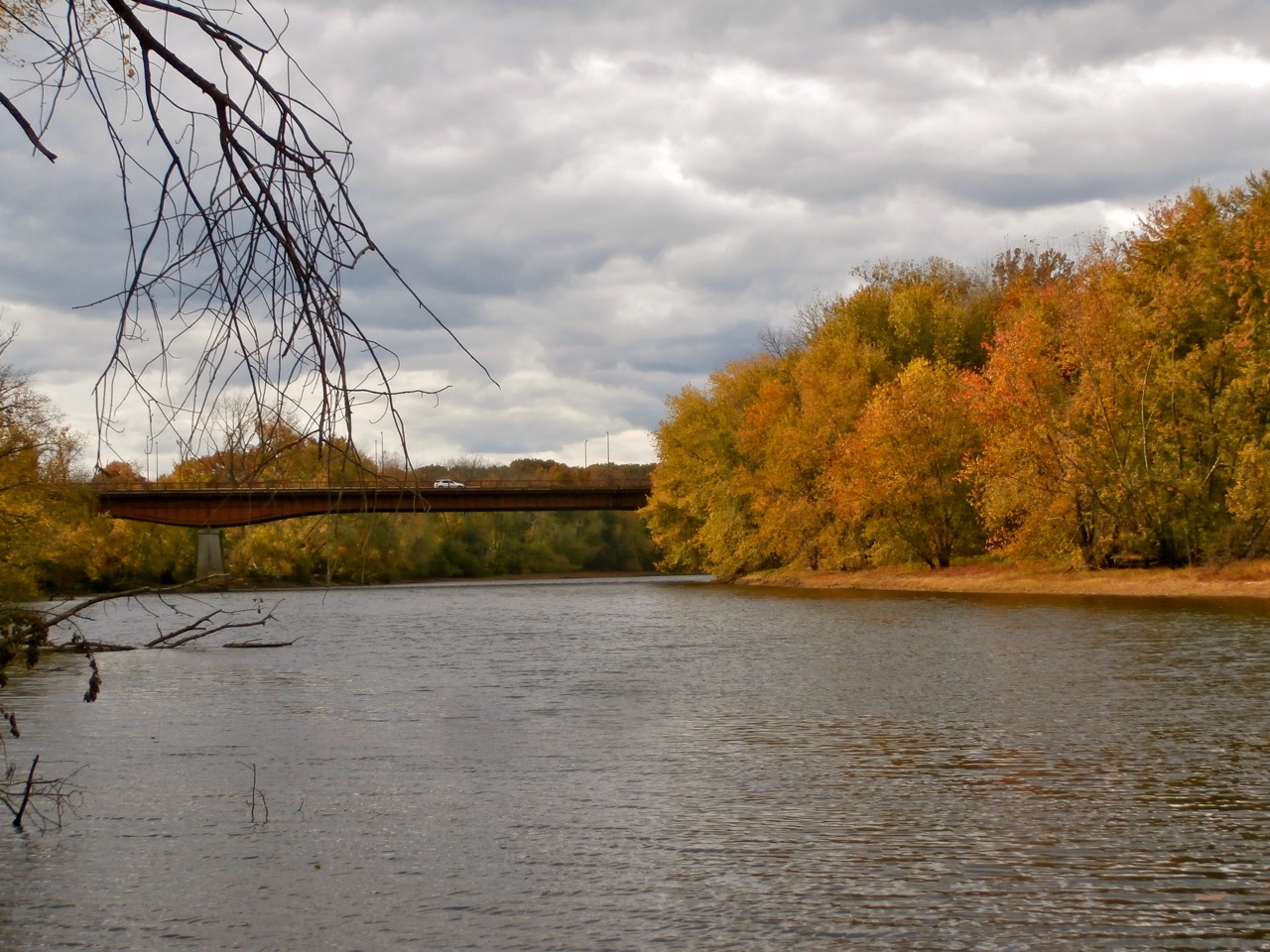
Hwy-5 Bridge, Agawam River

Damn!

View From Canal Park

Alone with the River

Slipping & Sliding

American Goldfinch
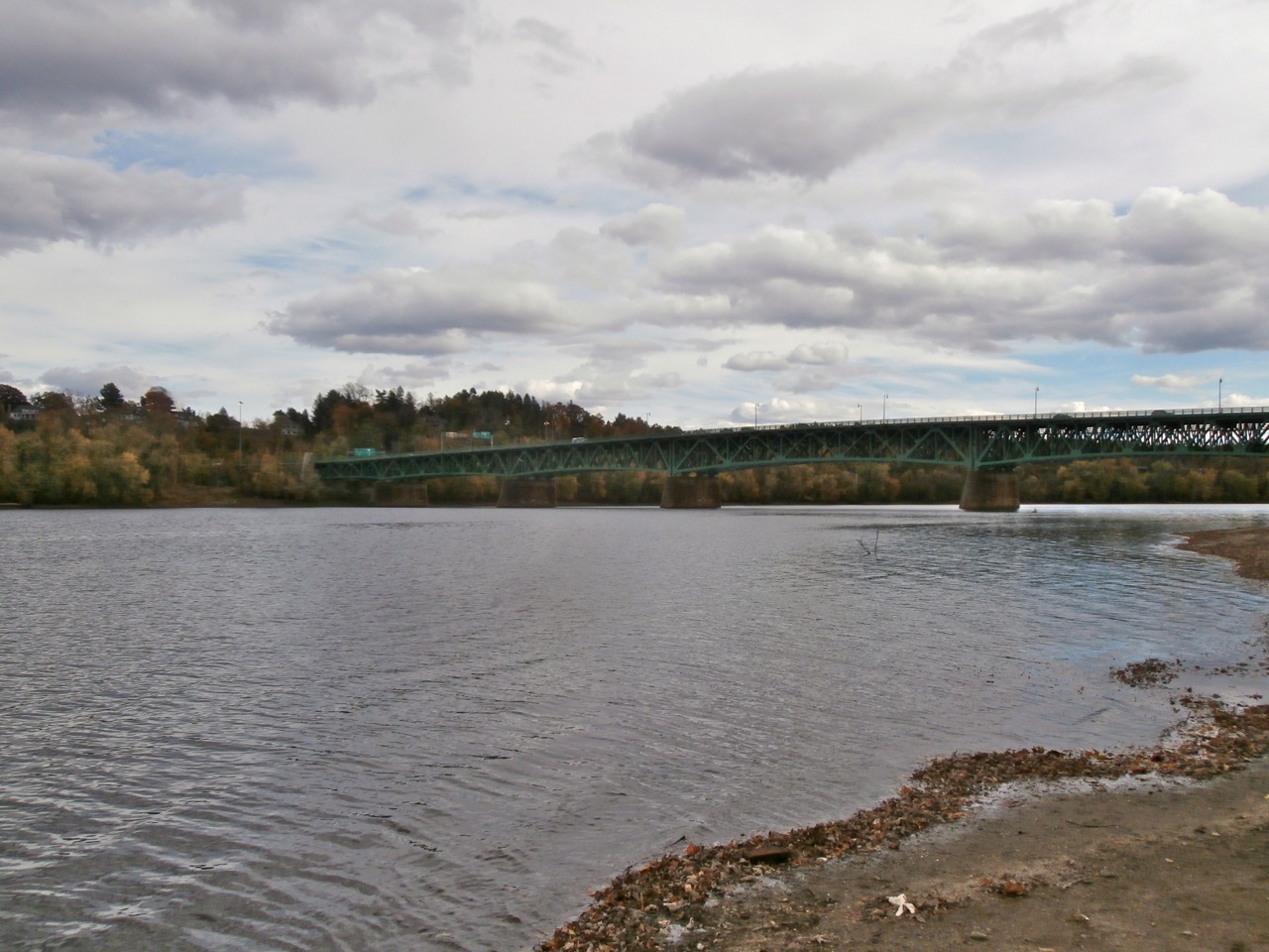
Hwy-5 Bridge, Connecticut River

Such a Winter's Day

Ring necked Ducks

Chicopee Mills
31 May 2014

Black & Blue
31 May 2014

Canal Park & Stormy Clouds
Days of Rain & Ice

Over the Brink

I am Here
Topographic Map of Mary Coburn Rd, Springfield, MA, USA
Find elevation by address:

Places near Mary Coburn Rd, Springfield, MA, USA:
Fair Oak Road
Sixteen Acres
36 Quentin Rd
105 Macomber Ave
Skyridge Drive
39 Thyme Ln
14 Wellfleet Dr
18 Tinkham Glen
136 Catalpa Terrace
136 Catalpa Terrace
528 Springfield St
101 Canon Cir
911 Stony Hill Rd
3 Swift Ct
3 Swift Ct
6 Hickory Hill Dr
15 Signal Hill Cir
81 Signal Hill Cir
54 Signal Hill Cir
105 Signal Hill Cir
Recent Searches:
- Elevation of Corso Fratelli Cairoli, 35, Macerata MC, Italy
- Elevation of Tallevast Rd, Sarasota, FL, USA
- Elevation of 4th St E, Sonoma, CA, USA
- Elevation of Black Hollow Rd, Pennsdale, PA, USA
- Elevation of Oakland Ave, Williamsport, PA, USA
- Elevation of Pedrógão Grande, Portugal
- Elevation of Klee Dr, Martinsburg, WV, USA
- Elevation of Via Roma, Pieranica CR, Italy
- Elevation of Tavkvetili Mountain, Georgia
- Elevation of Hartfords Bluff Cir, Mt Pleasant, SC, USA