Elevation of Wickham, NB, Canada
Location: Canada > New Brunswick > Queens County >
Longitude: -65.995499
Latitude: 45.7149345
Elevation: 75m / 246feet
Barometric Pressure: 100KPa
Elevation Map:
Satellite Map:
Related Photos:
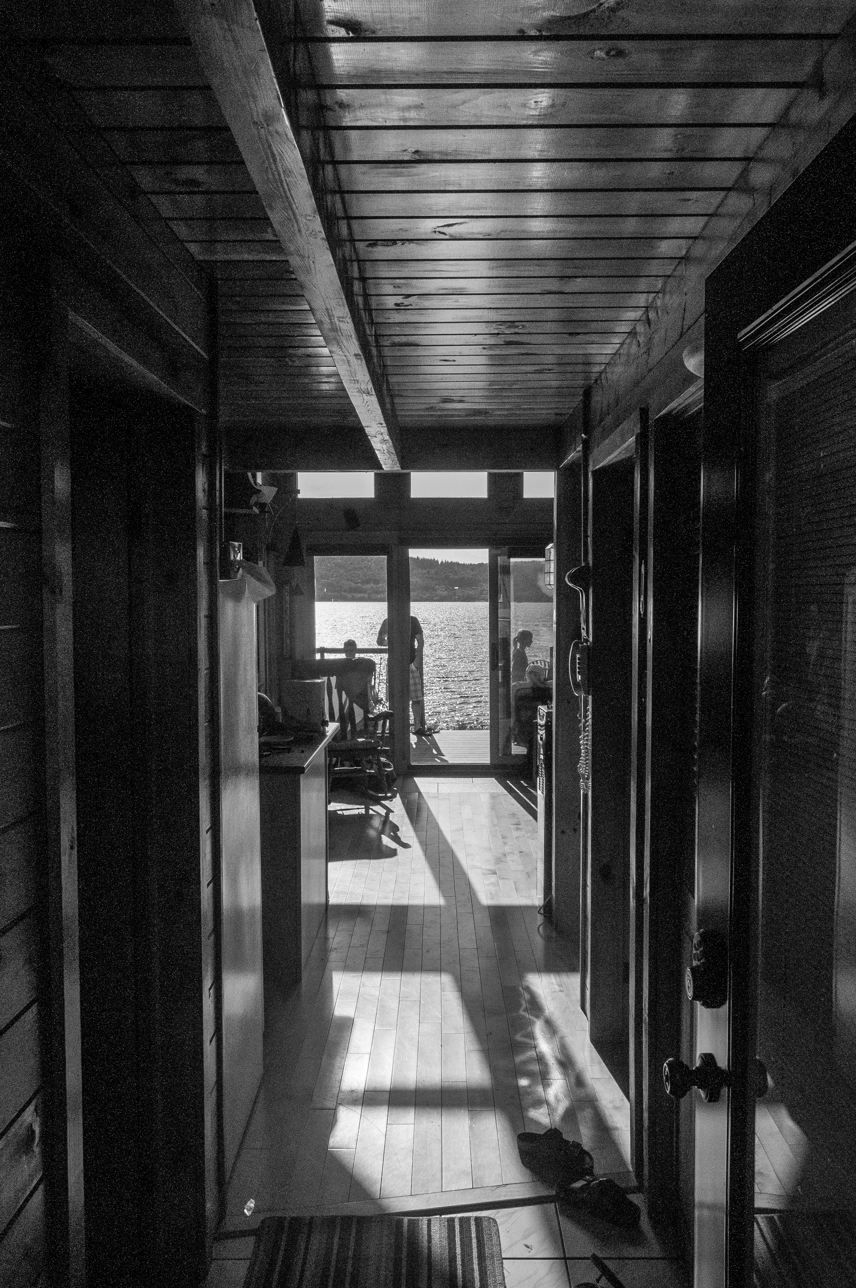
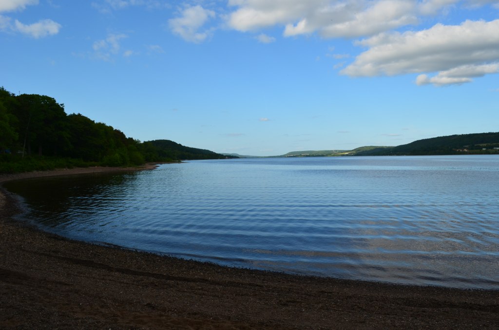
View through the house
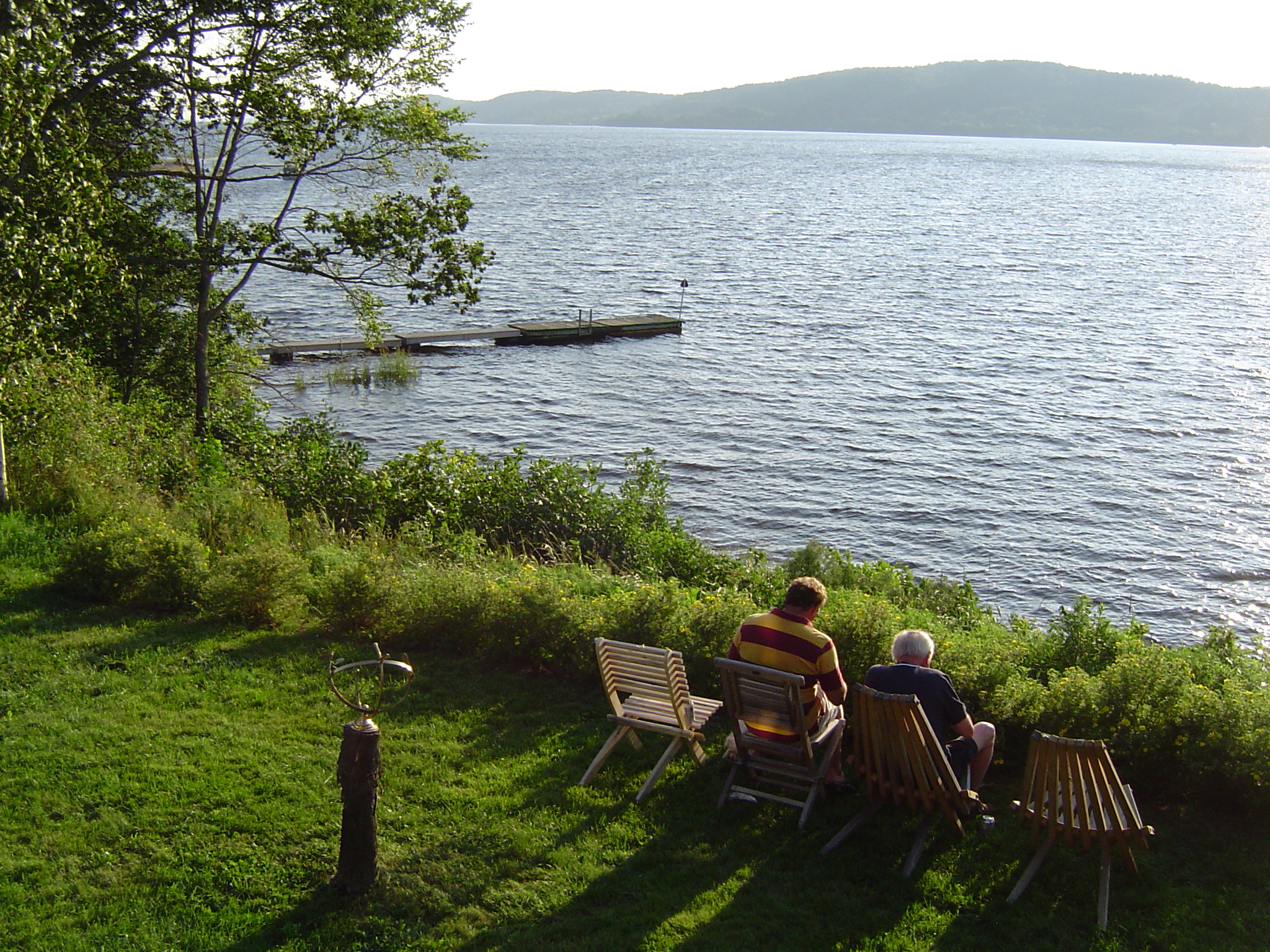
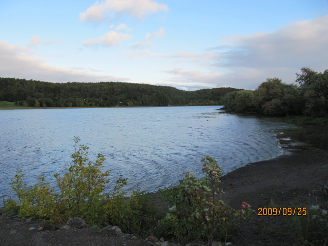
The view from John and Betty's cottage
New Brunswick - 2008-08-010
Gagetown Ferry-08
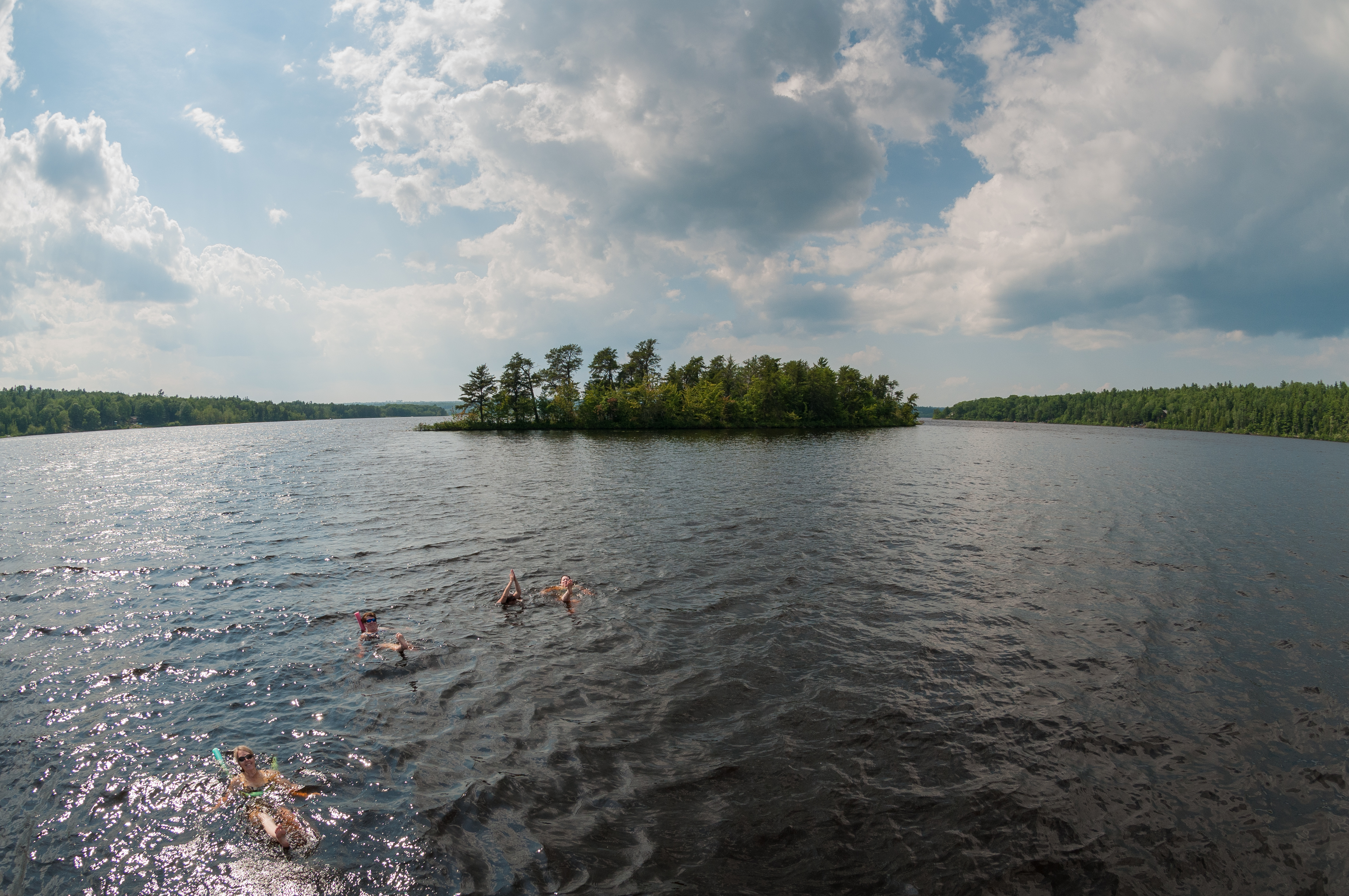
Synchronized Swimming - Home Edition
Jenkins Cove
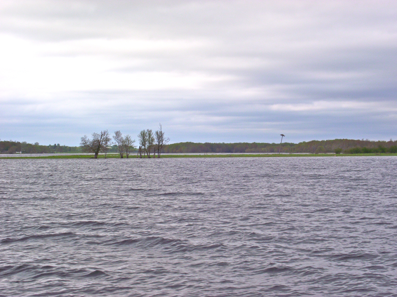
Colwell's Creek
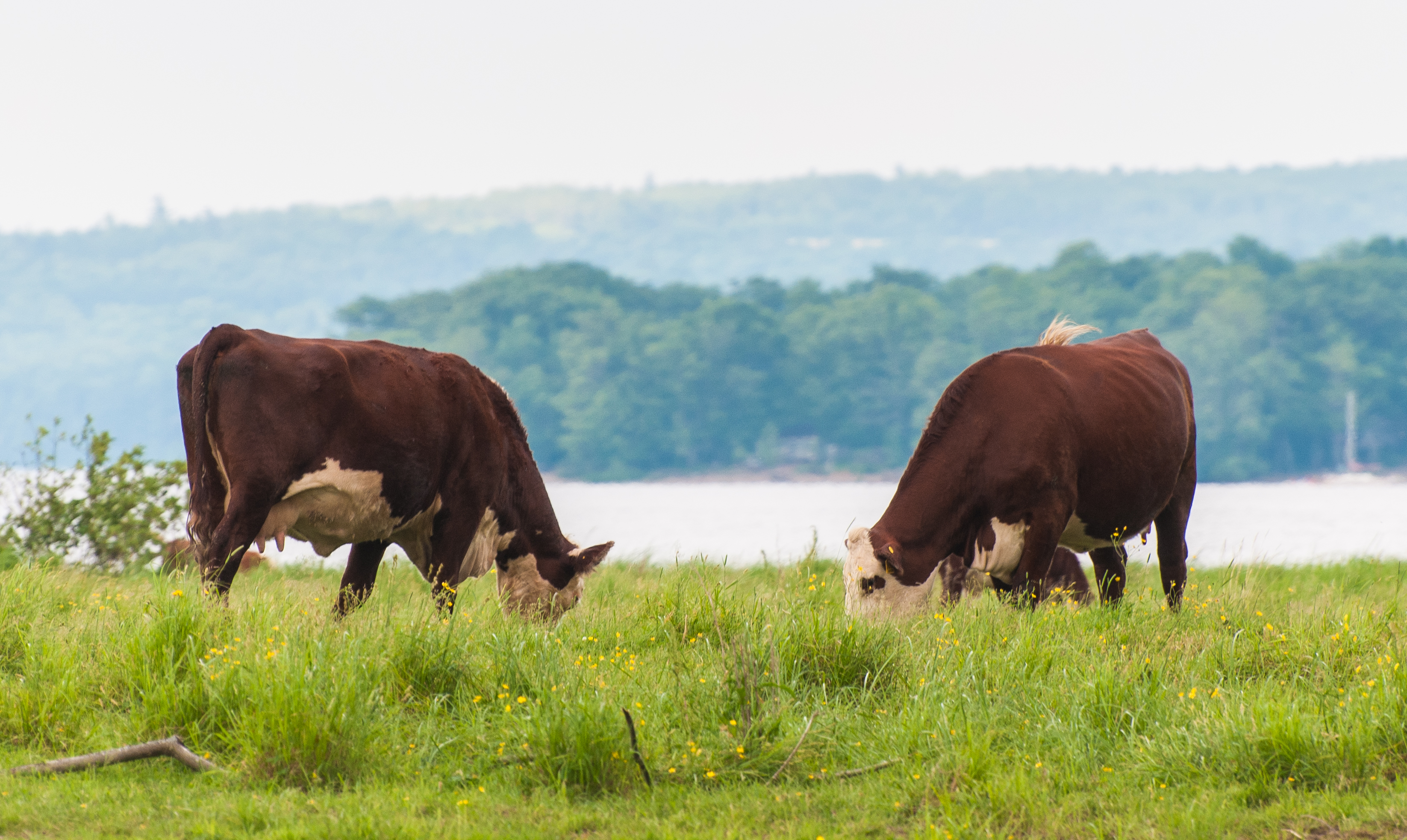
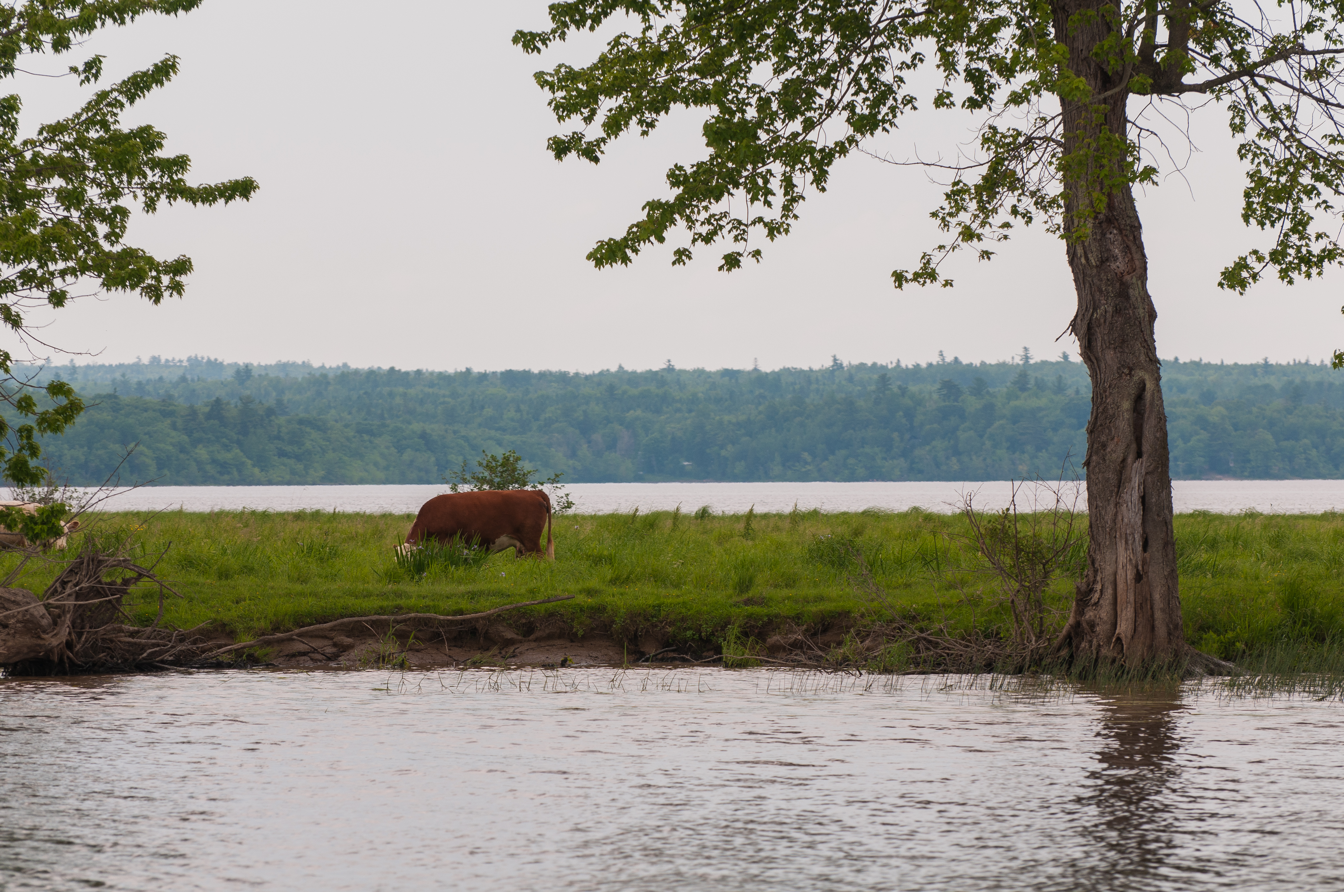
Island grazing
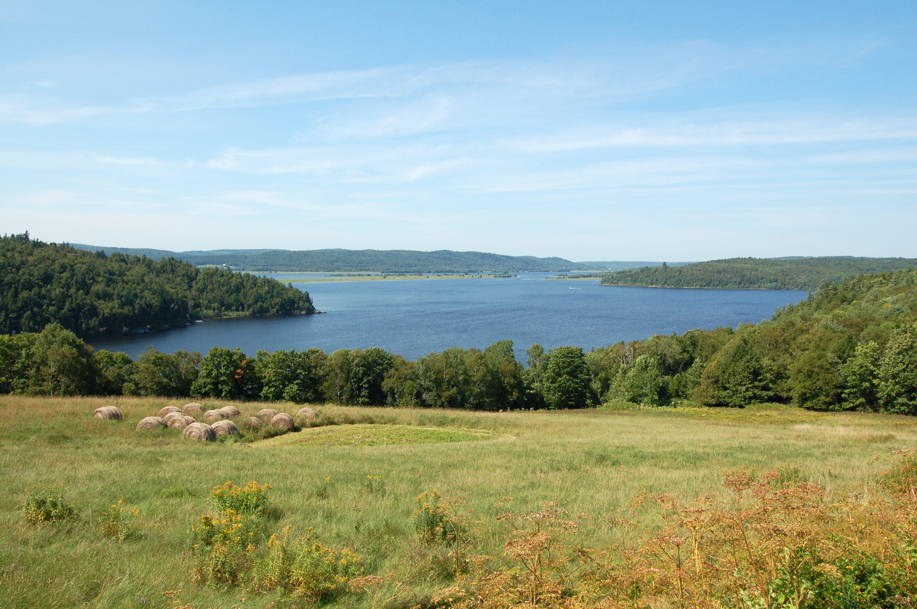
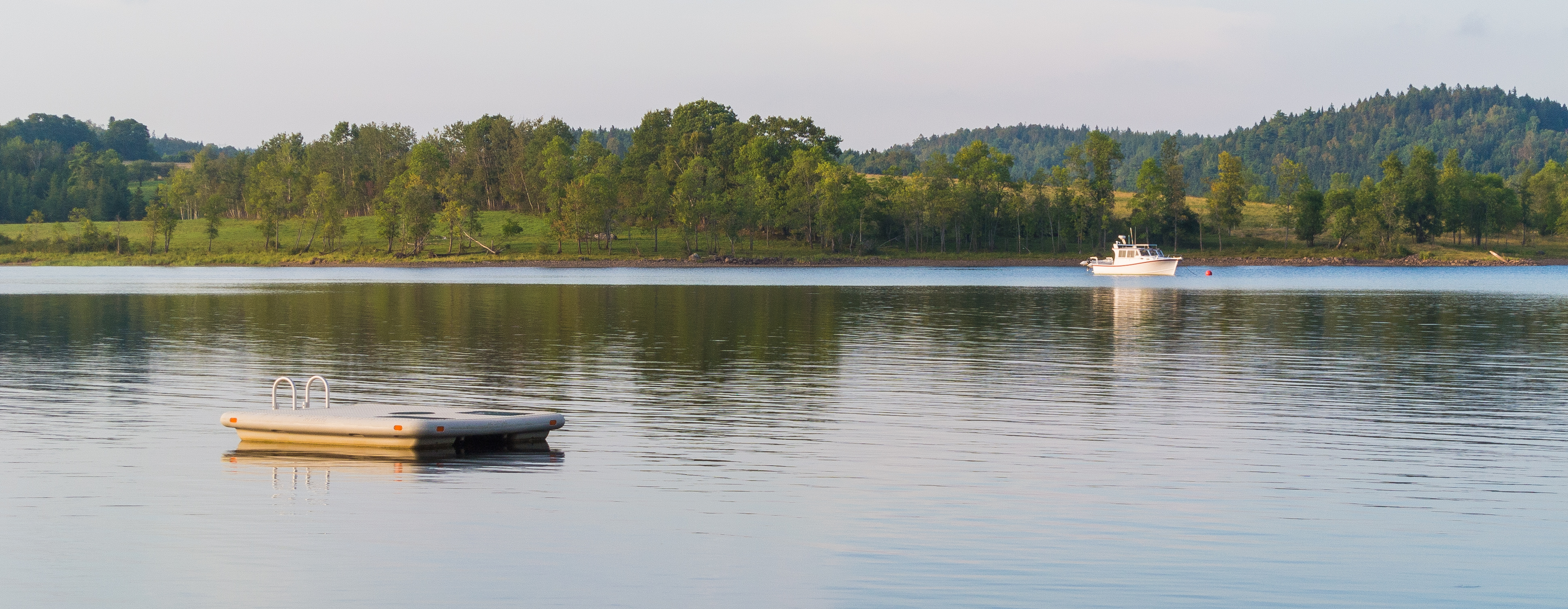
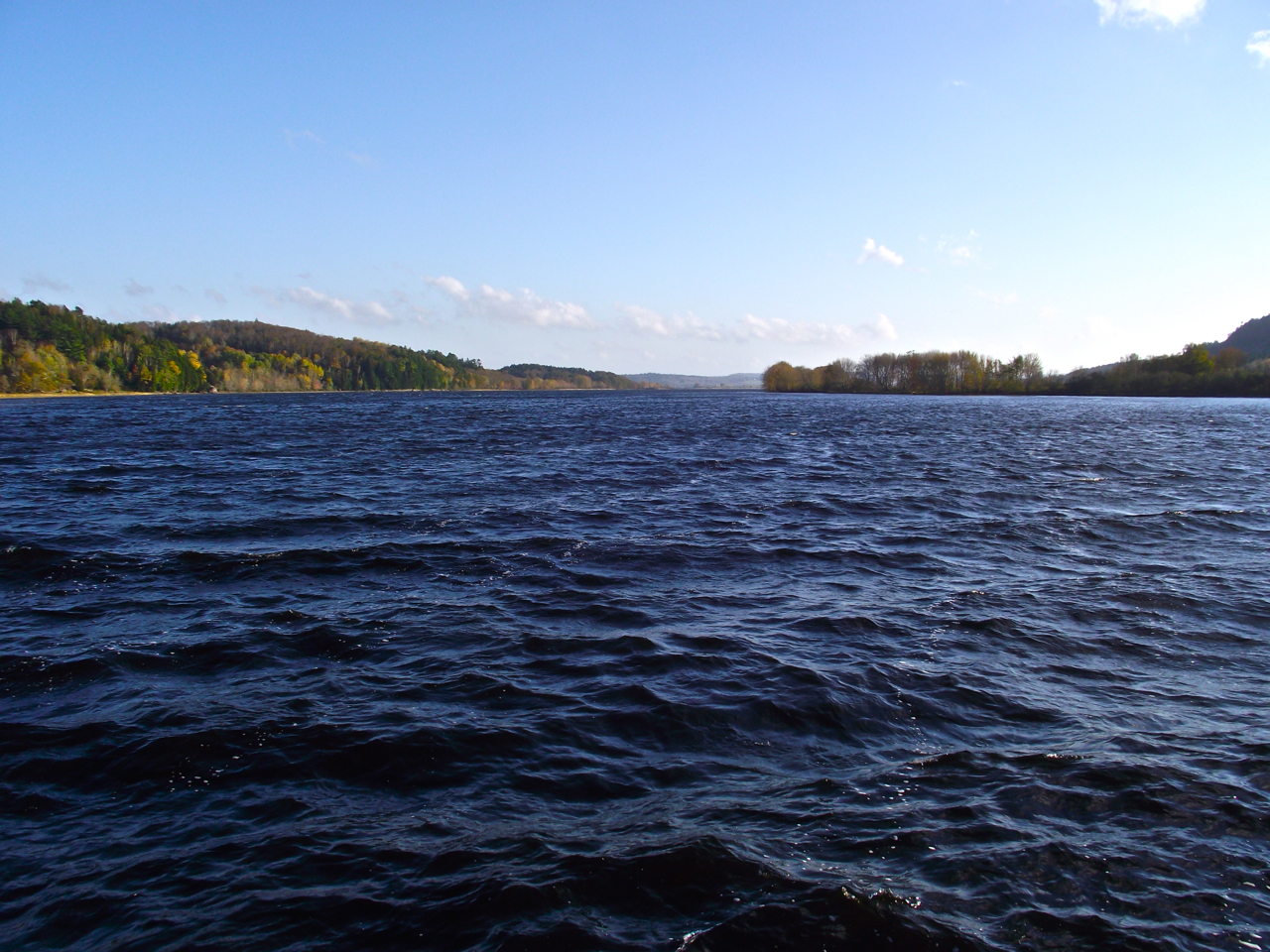
Belleisle Bay

Old barns
Evandale Ferry

Evandale Ferry
Evandale Ferry-11
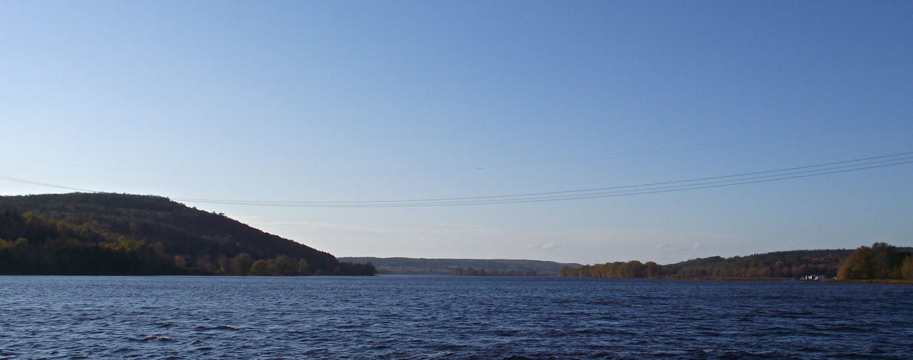
Belleisle Bay, looking toward Saint John
Evandale Ferry-10
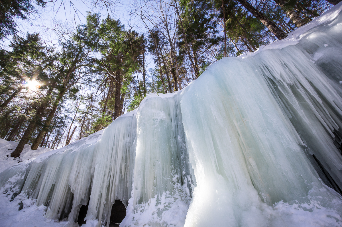
Ice Wall
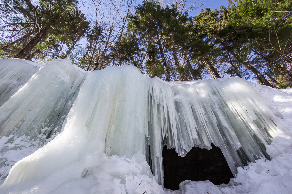
Midland Ice Cave
Topographic Map of Wickham, NB, Canada
Find elevation by address:

Places in Wickham, NB, Canada:
Places near Wickham, NB, Canada:
Motts Landing
28 Carpenter Bald Hill Rd, Wickham, NB E5T 3W4, Canada
Kars
Wickham
1770 Waterside Dr
Kars
Cambridge-narrows
New Brunswick 695
Browns Cove Road
9 Eveleigh Dr
9 Eveleigh Dr
Evandale
Cambridge
6 Cookson Ln, Kars, NB E5T 4Z2, Canada
Eveleigh Drive
E5t 1j5
Long Point
NB-, Long Point, NB E5N 7W6, Canada
998 Nb-850
Stewarton
Recent Searches:
- Elevation of Corso Fratelli Cairoli, 35, Macerata MC, Italy
- Elevation of Tallevast Rd, Sarasota, FL, USA
- Elevation of 4th St E, Sonoma, CA, USA
- Elevation of Black Hollow Rd, Pennsdale, PA, USA
- Elevation of Oakland Ave, Williamsport, PA, USA
- Elevation of Pedrógão Grande, Portugal
- Elevation of Klee Dr, Martinsburg, WV, USA
- Elevation of Via Roma, Pieranica CR, Italy
- Elevation of Tavkvetili Mountain, Georgia
- Elevation of Hartfords Bluff Cir, Mt Pleasant, SC, USA