Elevation of Cambridge, NB, Canada
Location: Canada > New Brunswick > Queens County >
Longitude: -66.070792
Latitude: 45.8219864
Elevation: 82m / 269feet
Barometric Pressure: 100KPa
Elevation Map:
Satellite Map:
Related Photos:

Gagetown Ferry-08

Synchronized Swimming - Home Edition

Colwell's Creek
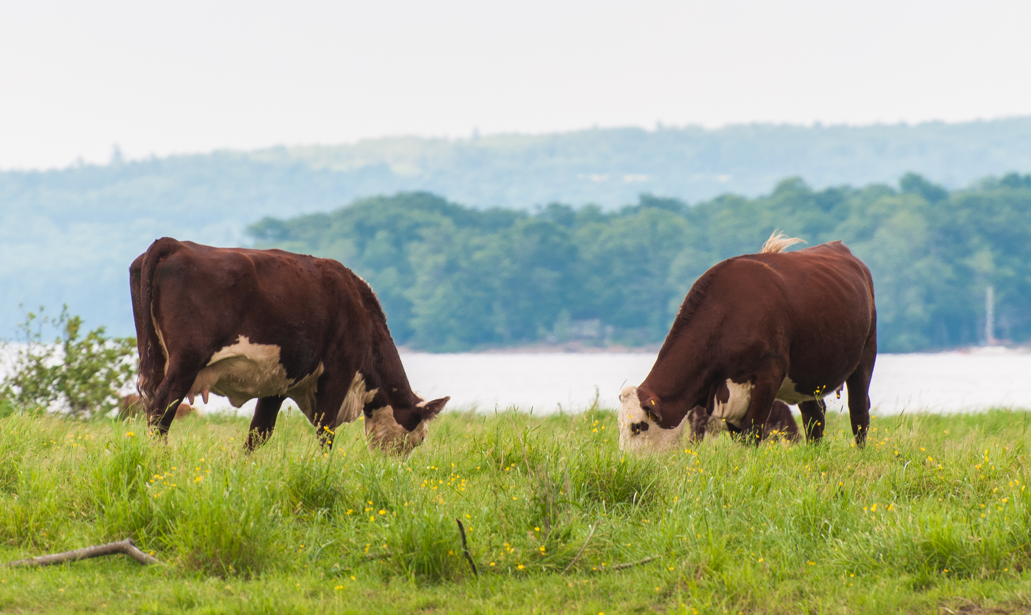
Island grazing

Beautiful Sunset at Mohawk Camping in New Brunswick!

Near Lyndseys hoose!

9-merge

Fall-78
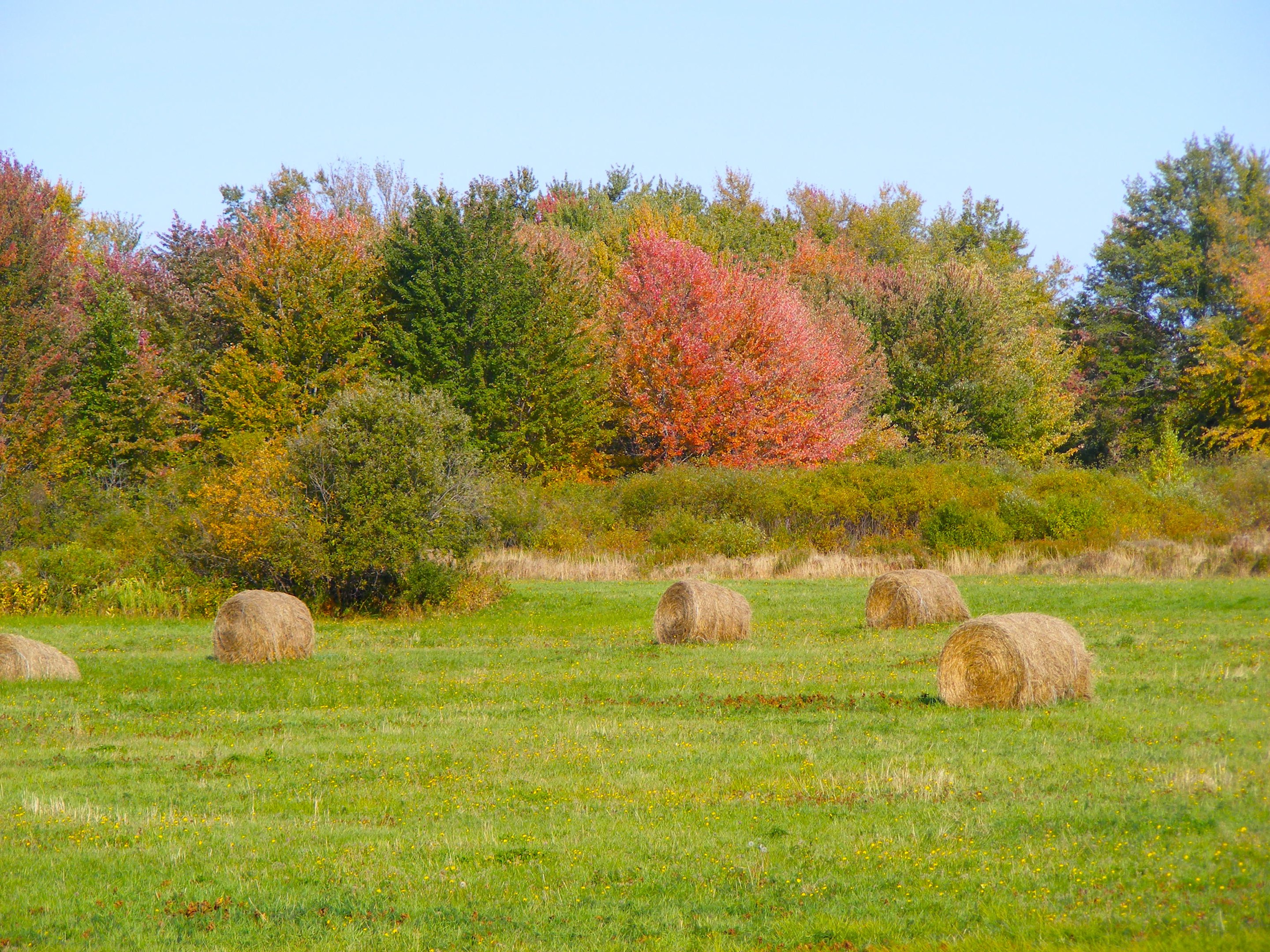
Fall-79
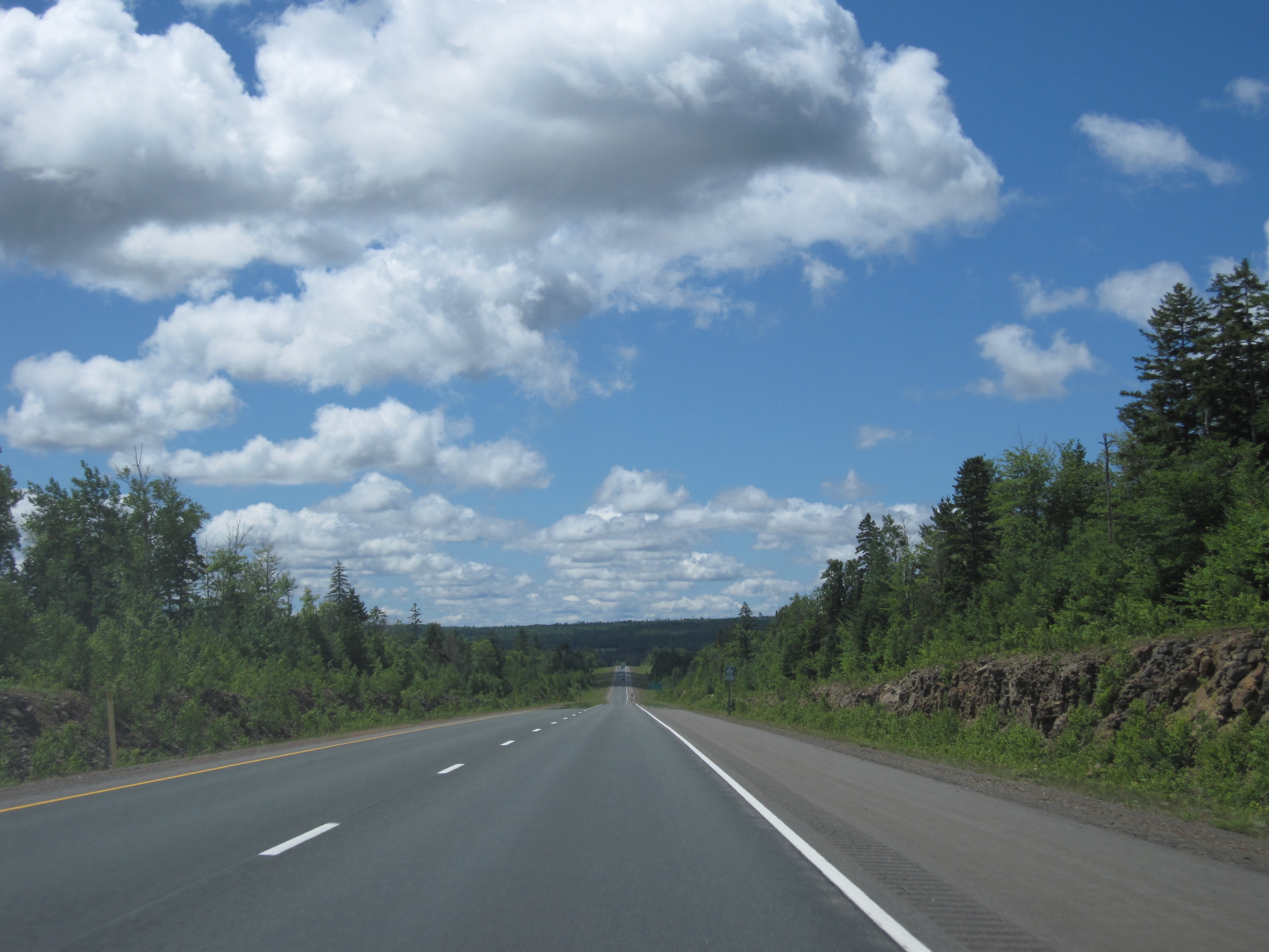
Day 7, Halifax, NS - Kingfield, ME 039
Topographic Map of Cambridge, NB, Canada
Find elevation by address:

Places in Cambridge, NB, Canada:
Places near Cambridge, NB, Canada:
Motts Landing
Mill Cove
Waterborough
Cambridge-narrows
Wickham
1770 Waterside Dr
Lakeview Rd, Cambridge-Narrows, NB E4C 1M9, Canada
Union Settlement Rd, Waterborough, NB E4C 2Z7, Canada
Queens County
28 Carpenter Bald Hill Rd, Wickham, NB E5T 3W4, Canada
Canning
NB-, Cambridge-Narrows, NB E4C, Canada
New Brunswick 695
Wickham
Youngs Cove
10 Sunview Ln W, Canning, NB E4B, Canada
290 Cumberland Point Rd
290 Cumberland Point Rd
290 Cumberland Point Rd
Kars
Recent Searches:
- Elevation of Corso Fratelli Cairoli, 35, Macerata MC, Italy
- Elevation of Tallevast Rd, Sarasota, FL, USA
- Elevation of 4th St E, Sonoma, CA, USA
- Elevation of Black Hollow Rd, Pennsdale, PA, USA
- Elevation of Oakland Ave, Williamsport, PA, USA
- Elevation of Pedrógão Grande, Portugal
- Elevation of Klee Dr, Martinsburg, WV, USA
- Elevation of Via Roma, Pieranica CR, Italy
- Elevation of Tavkvetili Mountain, Georgia
- Elevation of Hartfords Bluff Cir, Mt Pleasant, SC, USA