Elevation of Wiccacon Rd, Cofield, NC, USA
Location: United States > North Carolina > Hertford County >
Longitude: -76.824185
Latitude: 36.3290115
Elevation: 4m / 13feet
Barometric Pressure: 101KPa
Elevation Map:
Satellite Map:
Related Photos:
Friday campsite
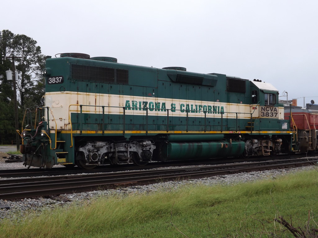
NCVA 3837
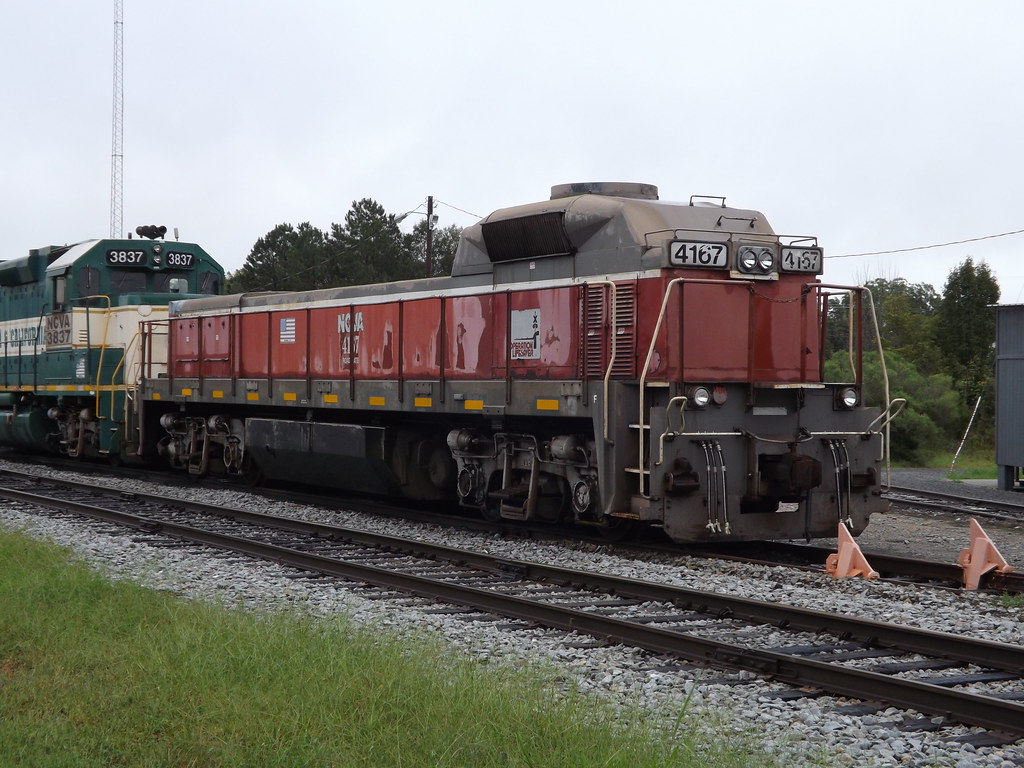
NCVA #4167 Mate
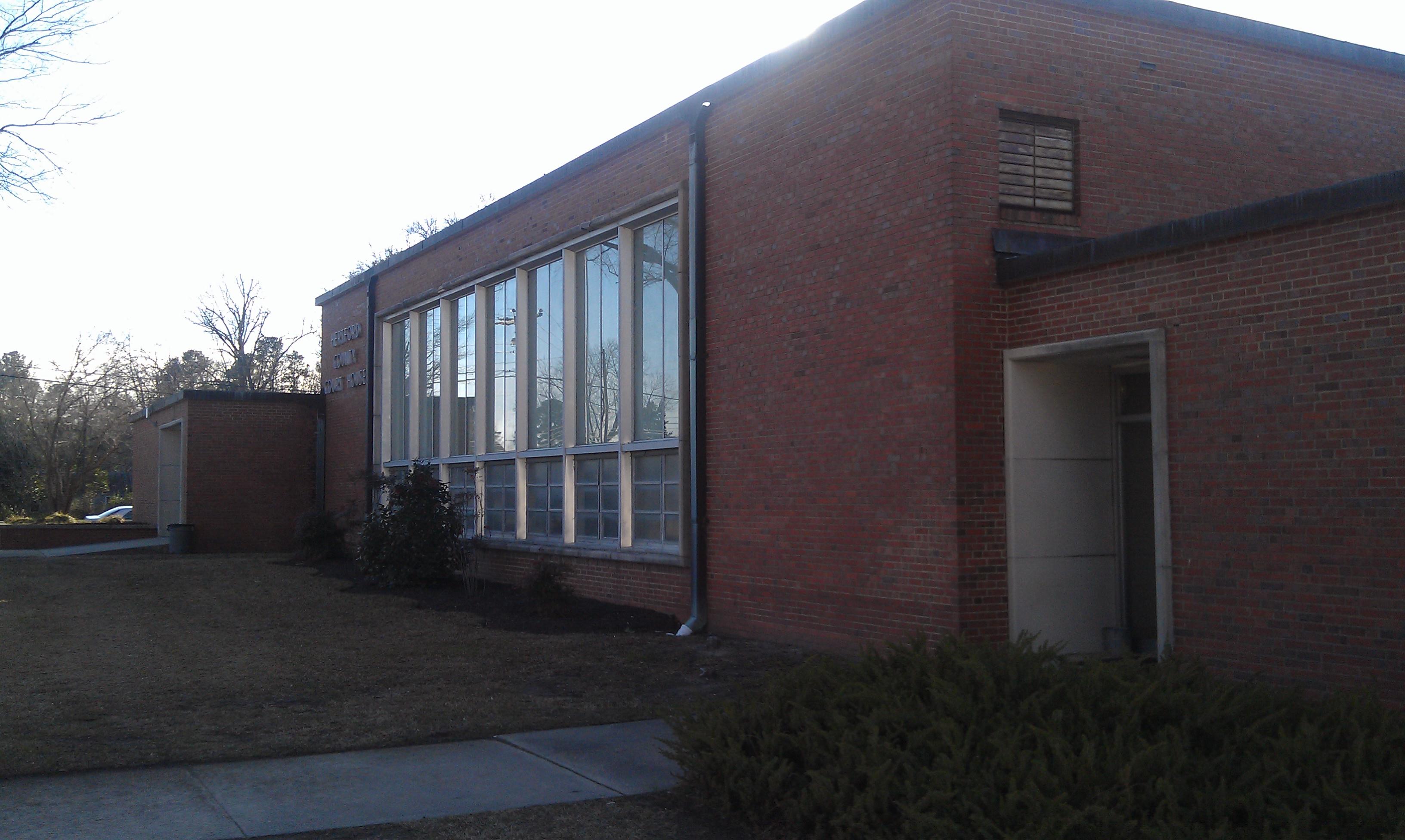
Hertford County Courthouse- Winton NC (3)

CS Brown School Auditorium- Winton NC (2)

Dragon Fly 3 LowRes
DSCN4834.JPG
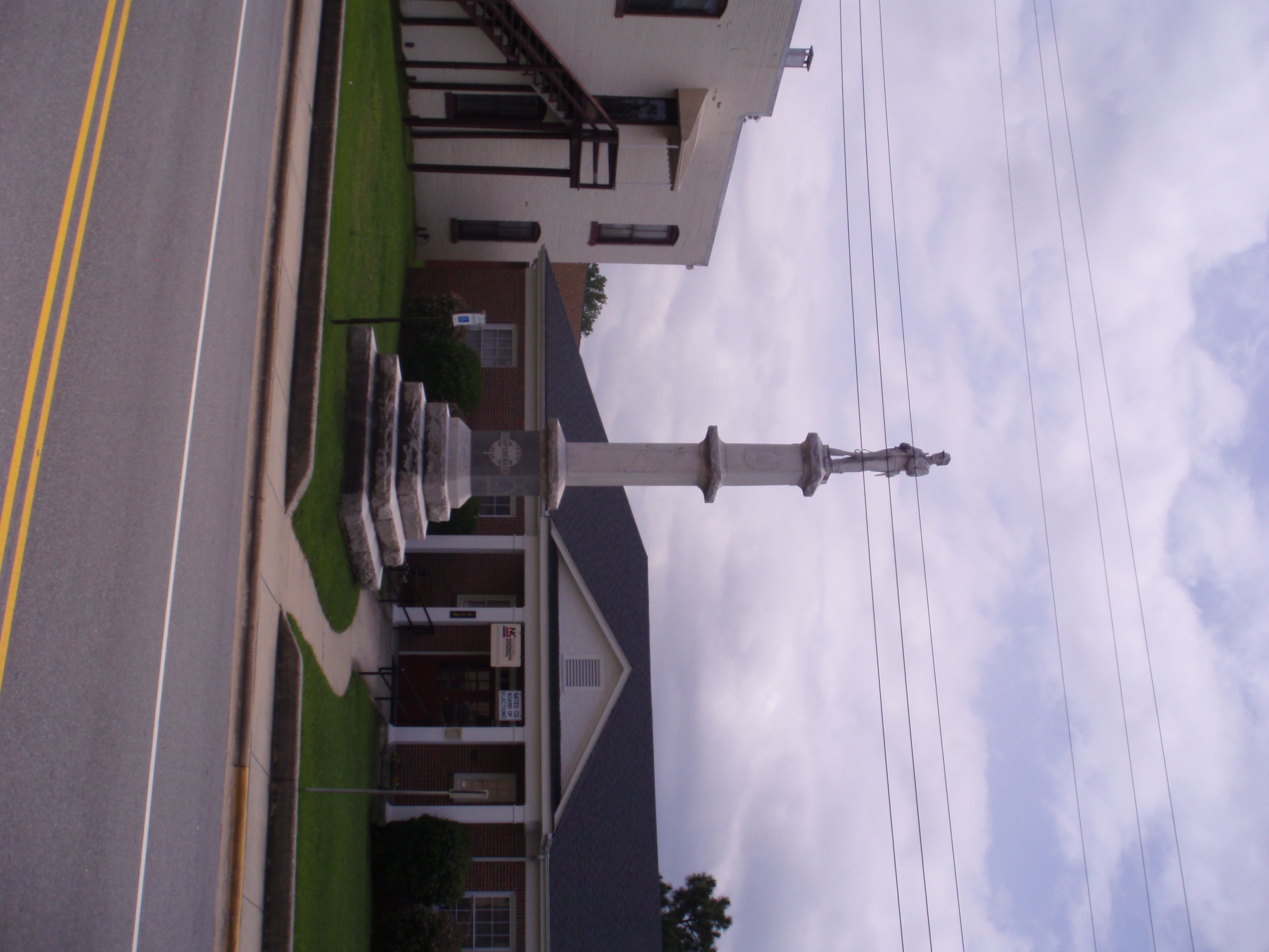
Gates County Confederate Memorial
Merchant Mill Pond State Park
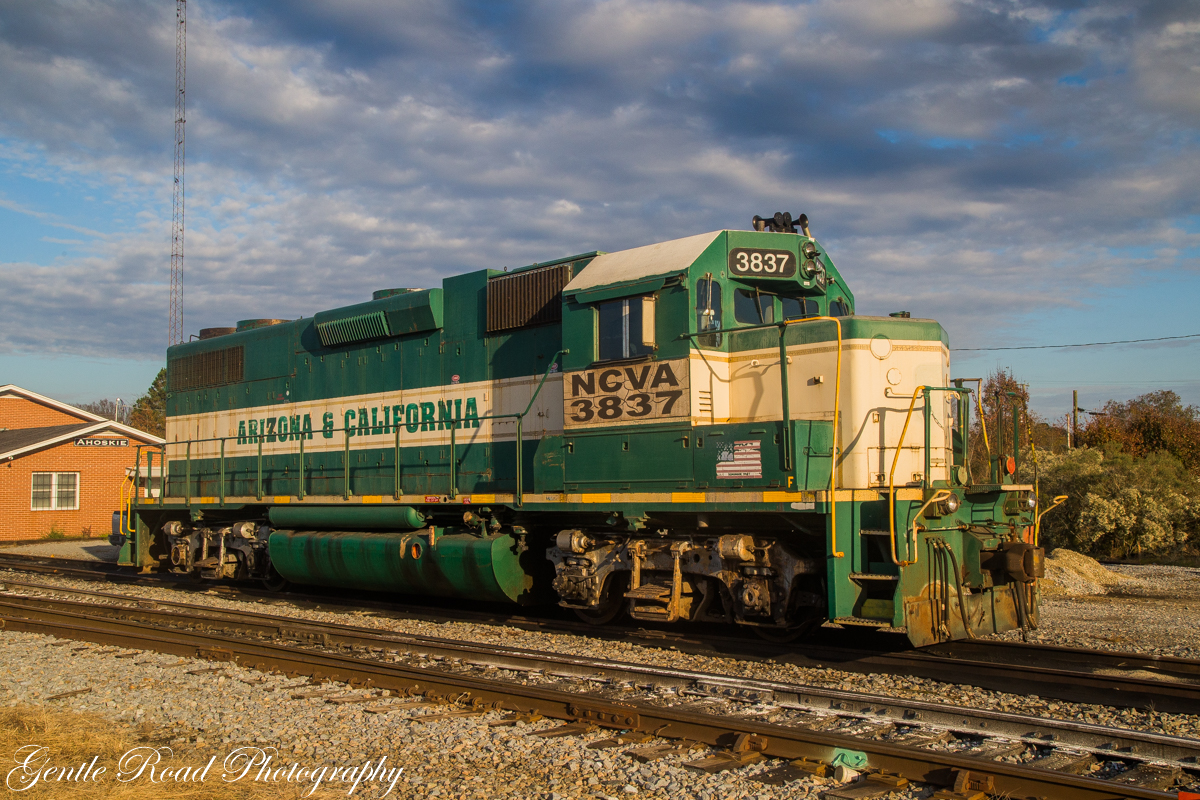
Arizona and er.....North Carolina?

Ghost sign abandoned building

Ghost sign abandoned building

NCVA #3837 GP38-3

Luna moth

Dragonfly bare hand catch

No visible gators

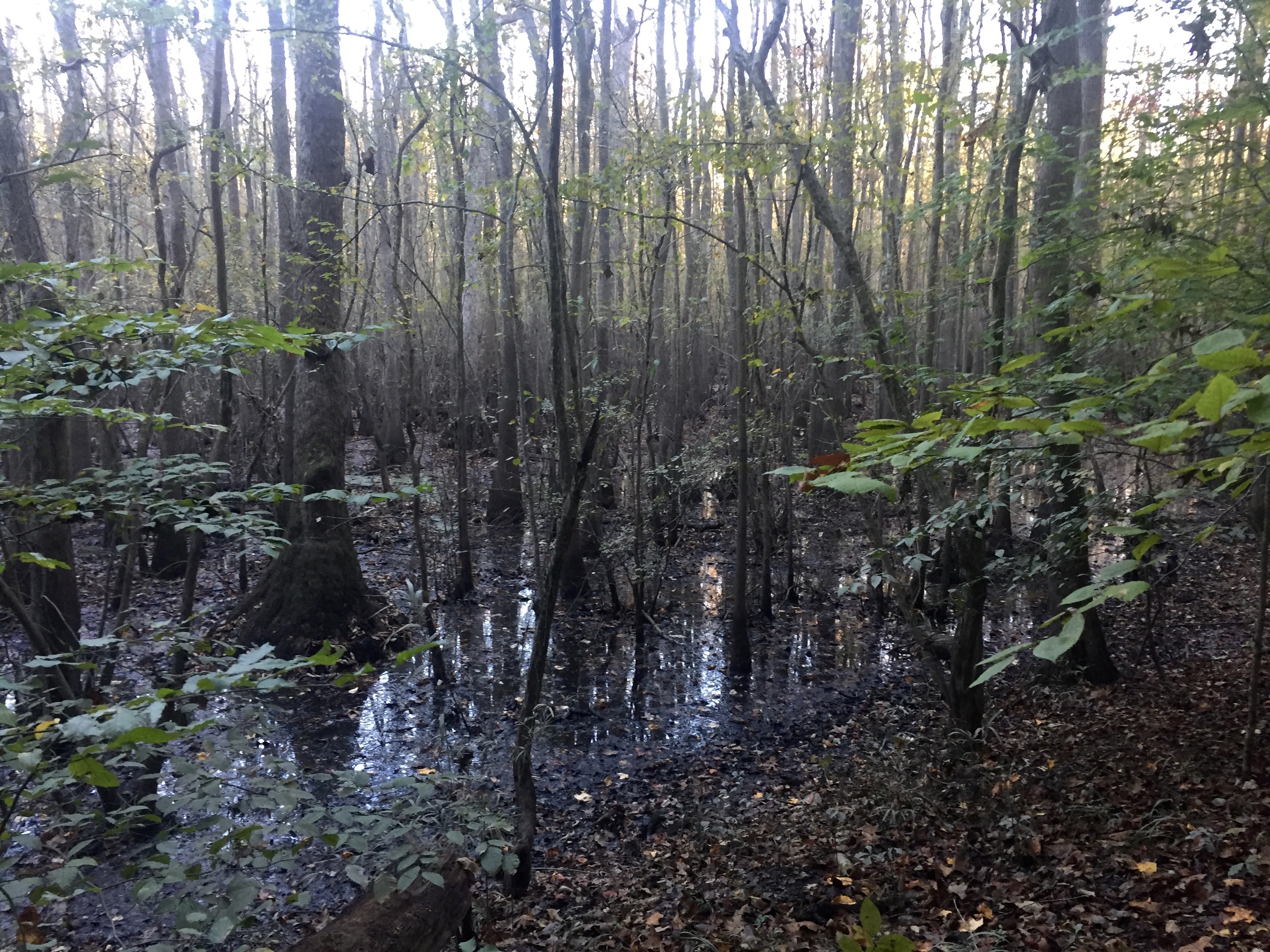
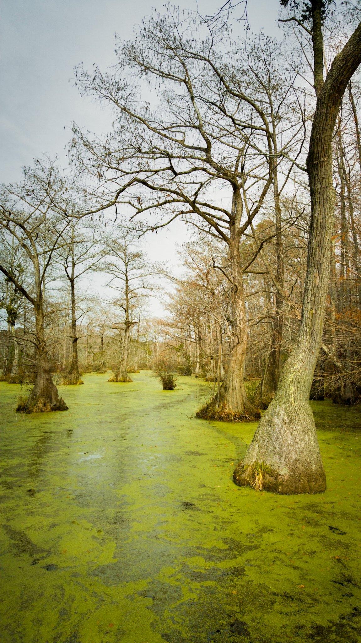
Fall in the swamp- my favorite

Fall in the swamp

Mama with her baby

Dan touring the A.T Byrum Peanut Farm Operation in Bertie County

Dan touring the A.T Byrum Peanut Farm Operation in Bertie County
Topographic Map of Wiccacon Rd, Cofield, NC, USA
Find elevation by address:

Places near Wiccacon Rd, Cofield, NC, USA:
Cofield, NC, USA
Harrellsville
Harrellsville
Tunis Road
319 Pawnee Rd
Cofield
Hares Mill Rd, Cofield, NC, USA
Winton
204b Joyner Rd
Ahoskie
Ahoskie-Cofield Rd, Ahoskie, NC, USA
253 Willoughby Rd
2606b Nc-45
Brinkleyville Rd, Ahoskie, NC, USA
Powellsville Town Hall
Powellsville
903 Arrowhead Trail
98 Bandon Rd, Edenton, NC, USA
1101 Arrowhead Trail
Winnebago Trail
Recent Searches:
- Elevation of Corso Fratelli Cairoli, 35, Macerata MC, Italy
- Elevation of Tallevast Rd, Sarasota, FL, USA
- Elevation of 4th St E, Sonoma, CA, USA
- Elevation of Black Hollow Rd, Pennsdale, PA, USA
- Elevation of Oakland Ave, Williamsport, PA, USA
- Elevation of Pedrógão Grande, Portugal
- Elevation of Klee Dr, Martinsburg, WV, USA
- Elevation of Via Roma, Pieranica CR, Italy
- Elevation of Tavkvetili Mountain, Georgia
- Elevation of Hartfords Bluff Cir, Mt Pleasant, SC, USA