Elevation of Cofield, NC, USA
Location: United States > North Carolina > Hertford County > Winton > Cofield >
Longitude: -76.837499
Latitude: 36.3199932
Elevation: 7m / 23feet
Barometric Pressure: 101KPa
Elevation Map:
Satellite Map:
Related Photos:
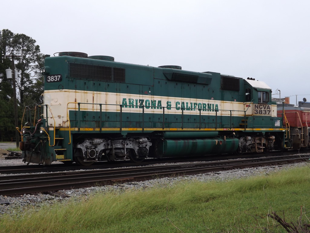
NCVA 3837

CS Brown School Auditorium- Winton NC (2)
DSCN4834.JPG
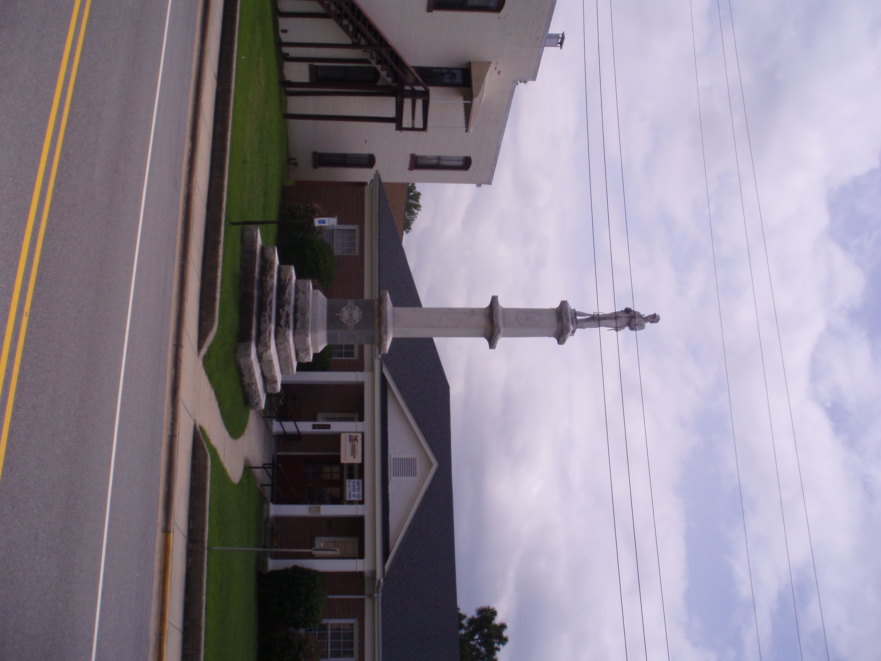
Gates County Confederate Memorial
Arizona and er.....North Carolina?

Ghost sign abandoned building
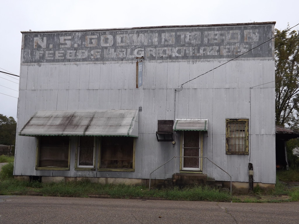
Ghost sign abandoned building

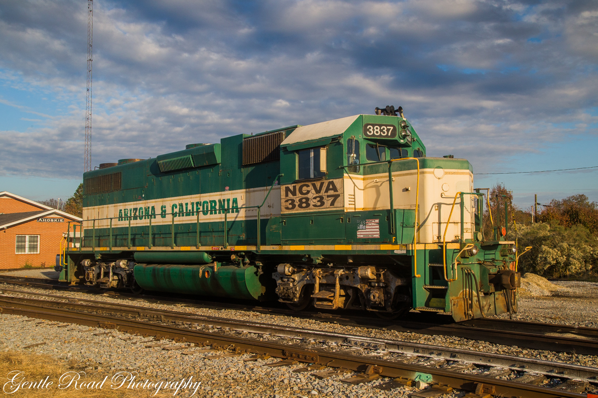
NCVA #3837 GP38-3
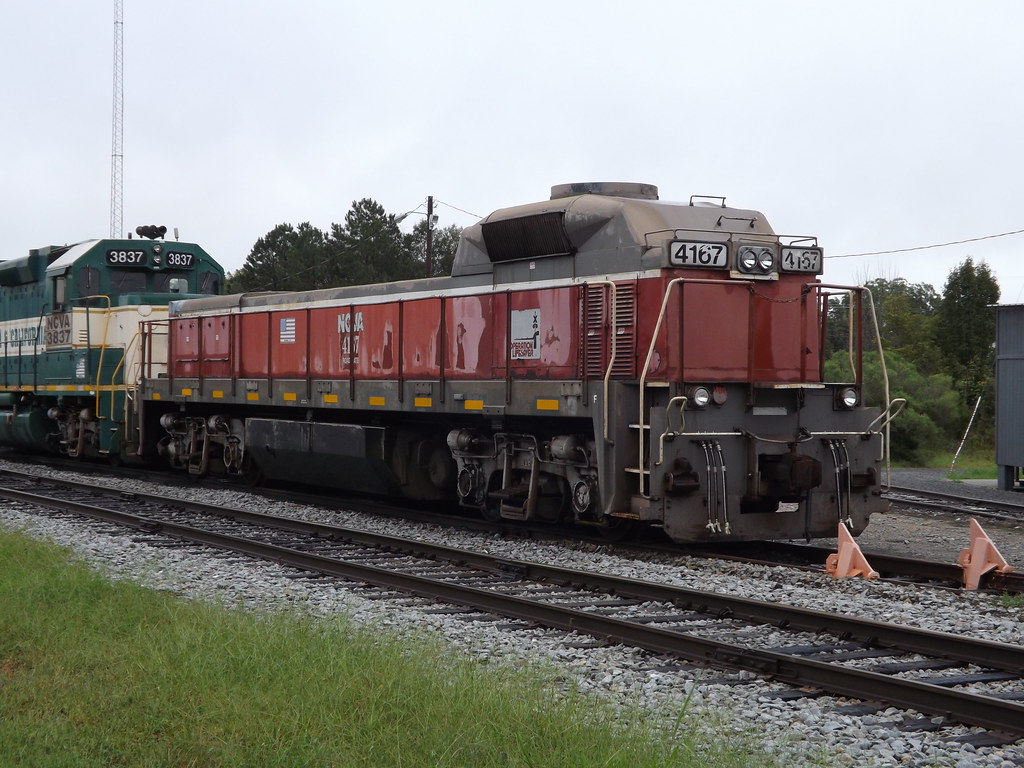
NCVA #4167 Mate

Luna moth
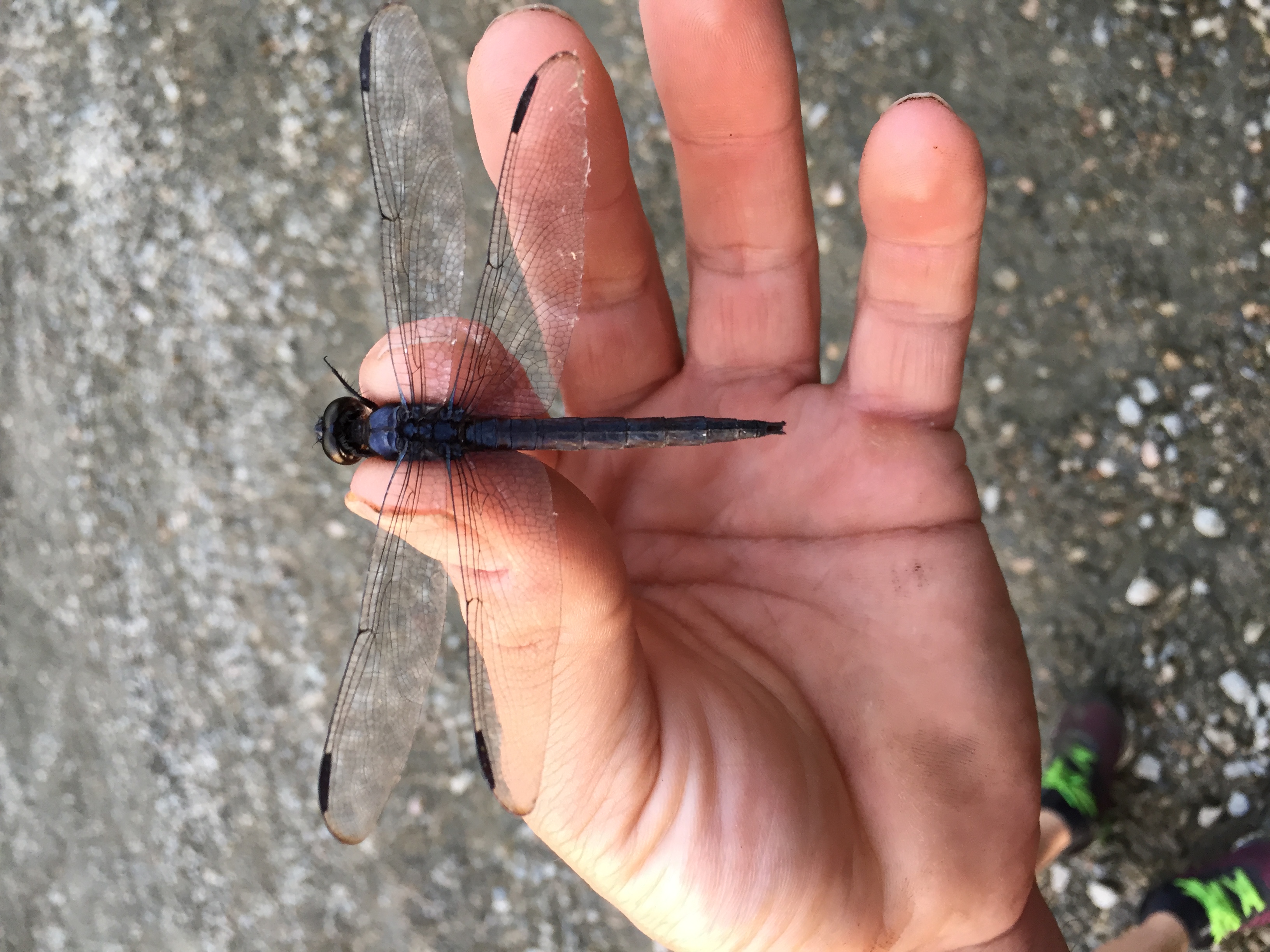
Dragonfly bare hand catch

Dan touring the A.T Byrum Peanut Farm Operation in Bertie County

Dan touring the A.T Byrum Peanut Farm Operation in Bertie County

Dan meeting with Bertie County buisness owners
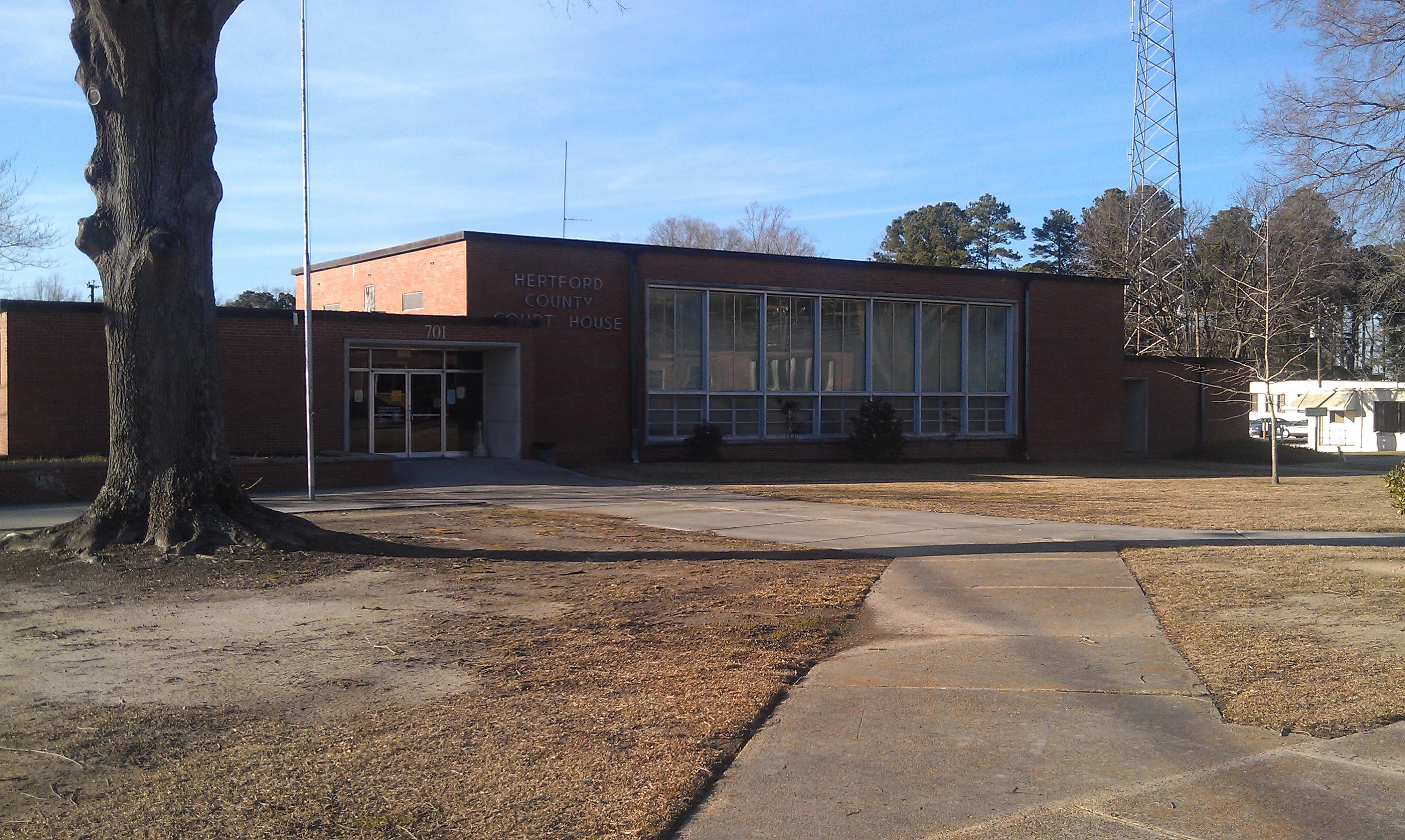
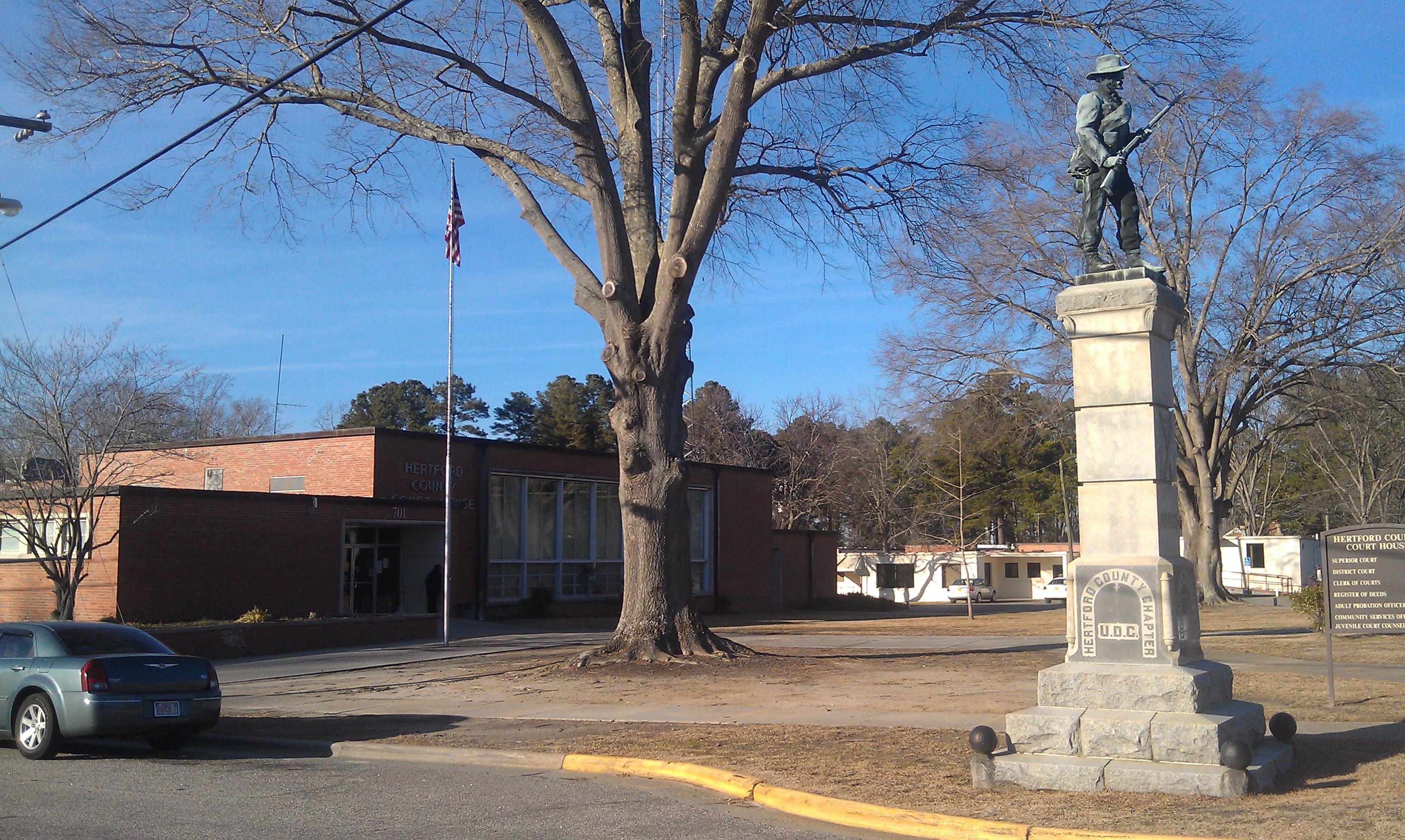
Hertford County Courthouse- Winton NC (1)
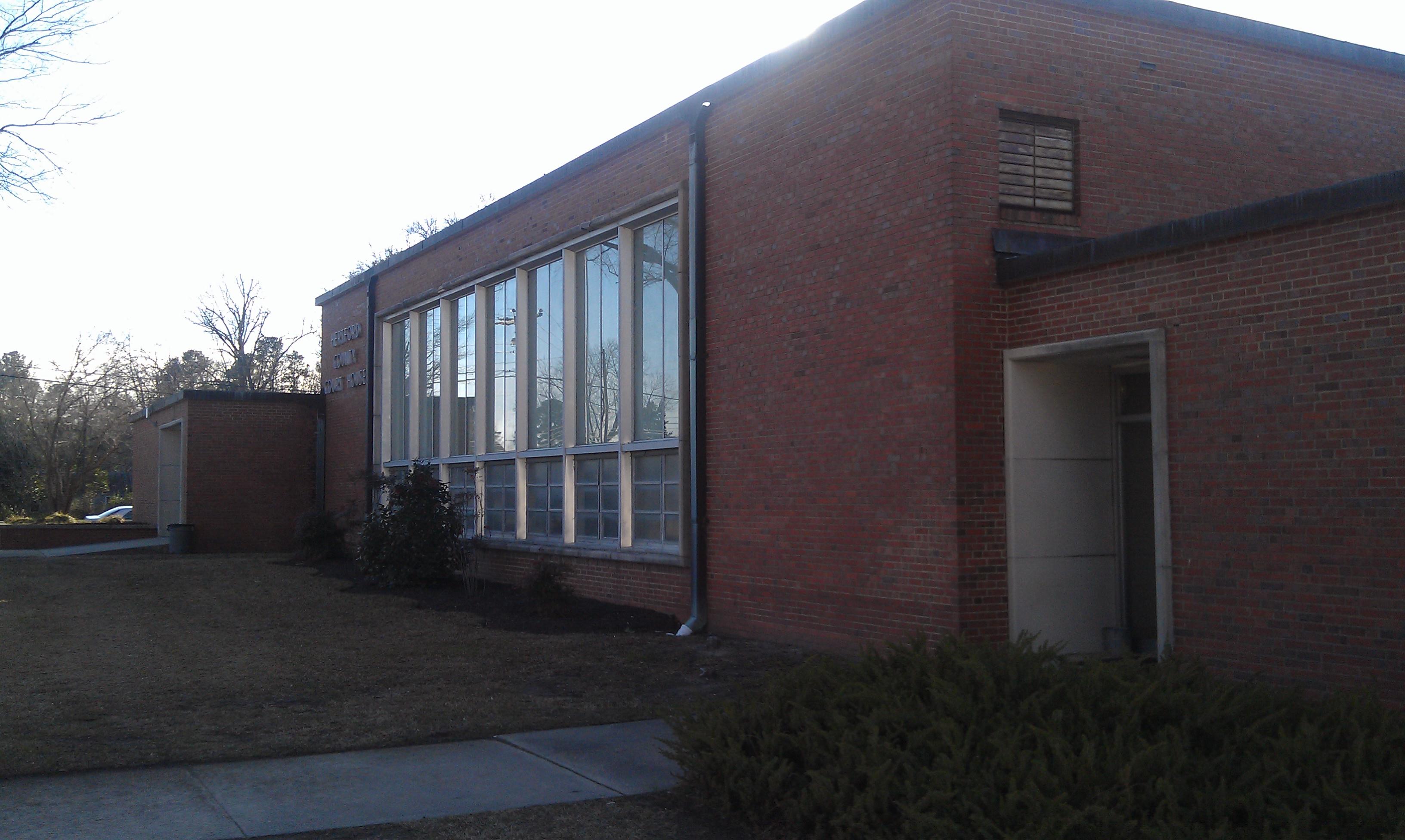
Hertford County Courthouse- Winton NC (2)
Hertford County Courthouse- Winton NC (3)
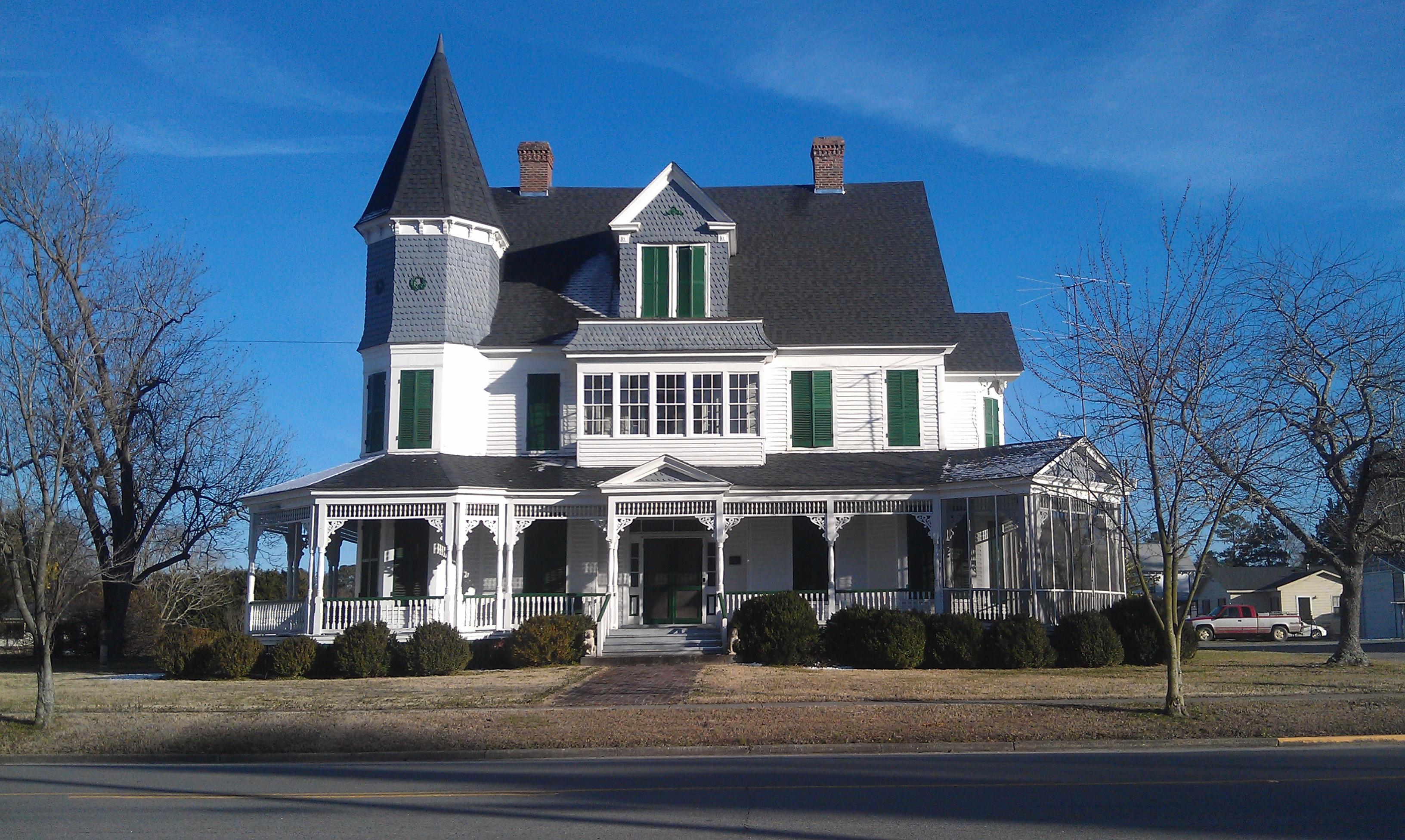
Gray Gables- Winton NC

Maybe next time it will be open!
Projection wall

Poof where did the organ go?
Topographic Map of Cofield, NC, USA
Find elevation by address:

Places near Cofield, NC, USA:
243 Wiccacon Rd
Harrellsville
Harrellsville
Tunis Road
Cofield
Hares Mill Rd, Cofield, NC, USA
319 Pawnee Rd
Ahoskie
Winton
Ahoskie-Cofield Rd, Ahoskie, NC, USA
253 Willoughby Rd
204b Joyner Rd
Brinkleyville Rd, Ahoskie, NC, USA
2606b Nc-45
Powellsville Town Hall
Powellsville
Ahoskie
Tomahawk Motel
620 Church St W
98 Bandon Rd, Edenton, NC, USA
Recent Searches:
- Elevation of Corso Fratelli Cairoli, 35, Macerata MC, Italy
- Elevation of Tallevast Rd, Sarasota, FL, USA
- Elevation of 4th St E, Sonoma, CA, USA
- Elevation of Black Hollow Rd, Pennsdale, PA, USA
- Elevation of Oakland Ave, Williamsport, PA, USA
- Elevation of Pedrógão Grande, Portugal
- Elevation of Klee Dr, Martinsburg, WV, USA
- Elevation of Via Roma, Pieranica CR, Italy
- Elevation of Tavkvetili Mountain, Georgia
- Elevation of Hartfords Bluff Cir, Mt Pleasant, SC, USA