Elevation of White Mountain, Washington, USA
Location: United States > Washington > Curlew >
Longitude: -118.675
Latitude: 48.9813888
Elevation: 1668m / 5472feet
Barometric Pressure: 83KPa
Elevation Map:
Satellite Map:
Related Photos:
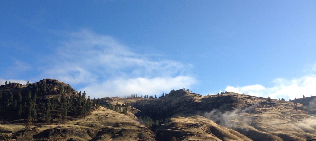
iPhone morning
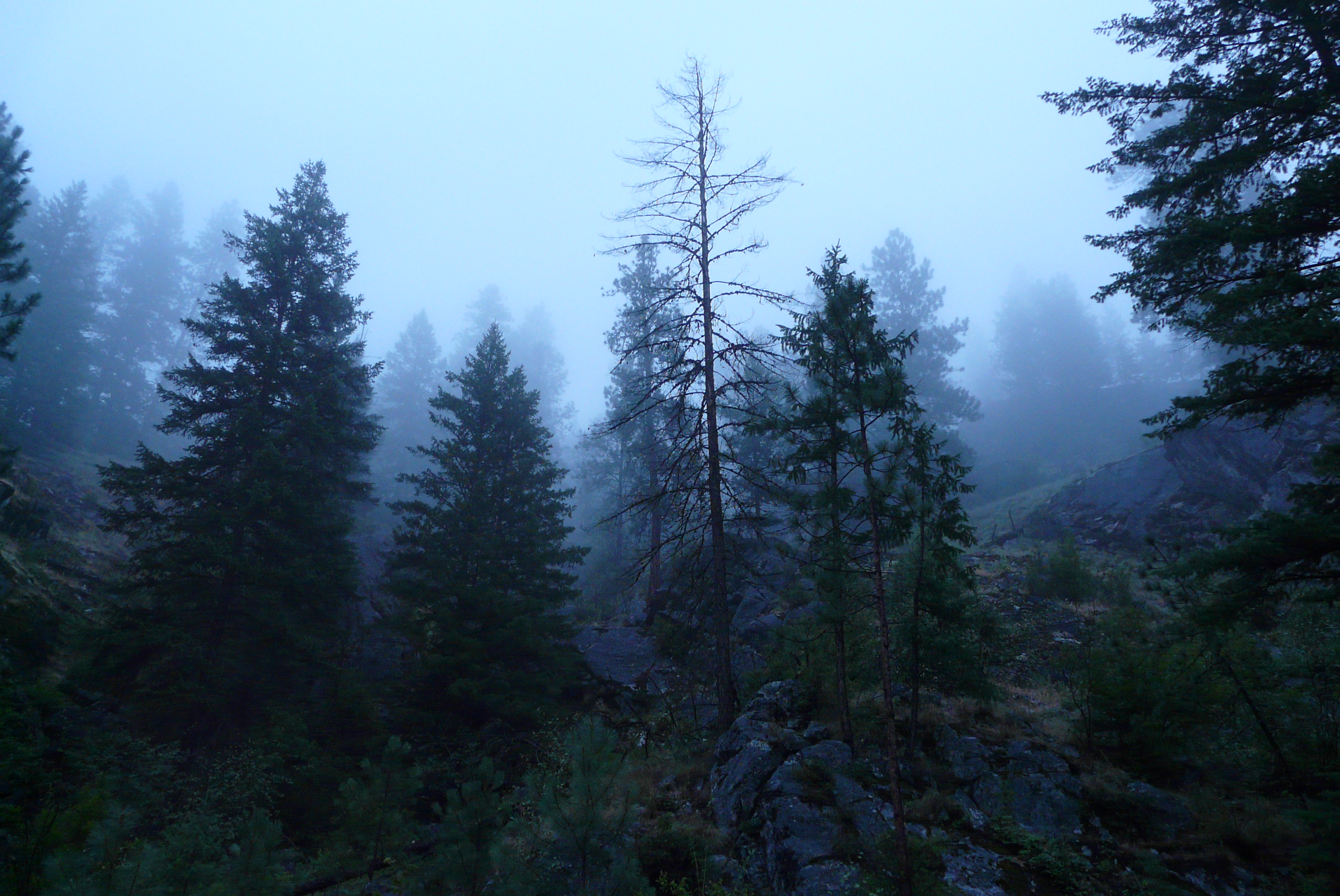
Looking Up
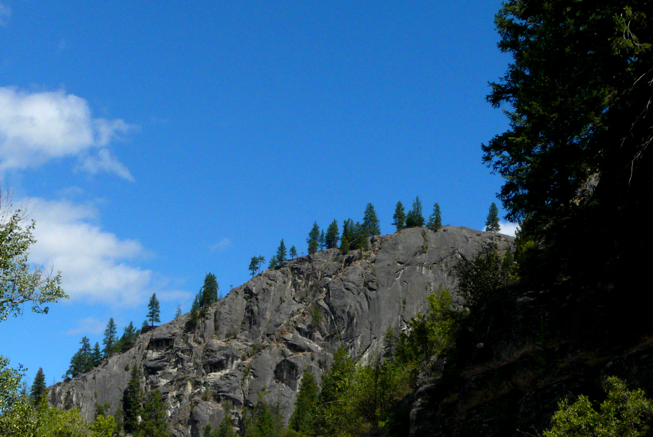
Rocky Ridge
Topographic Map of White Mountain, Washington, USA
Find elevation by address:

Places near White Mountain, Washington, USA:
560 Customs Rd
462 Customs Rd
3 Riverview Ln
Midway
Greenwood
694 Central Ave
223 Bamber Creek Rd
822 Adams St
Rincon Road
Curlew
18580 Wa-21
12590 Bc-3
7400 Danshin Village Road
7400 Danshin Village Road
7400 Danshin Village Road
Phoenix Mountain Ski Area
4625 Covert Rd
Danville
19 Snook Dr
Riverside Avenue
Recent Searches:
- Elevation of Corso Fratelli Cairoli, 35, Macerata MC, Italy
- Elevation of Tallevast Rd, Sarasota, FL, USA
- Elevation of 4th St E, Sonoma, CA, USA
- Elevation of Black Hollow Rd, Pennsdale, PA, USA
- Elevation of Oakland Ave, Williamsport, PA, USA
- Elevation of Pedrógão Grande, Portugal
- Elevation of Klee Dr, Martinsburg, WV, USA
- Elevation of Via Roma, Pieranica CR, Italy
- Elevation of Tavkvetili Mountain, Georgia
- Elevation of Hartfords Bluff Cir, Mt Pleasant, SC, USA