Elevation of BC-3, Greenwood, BC V0H 1J0, Canada
Location: Canada > British Columbia > Kootenay Boundary > Greenwood >
Longitude: -118.65860
Latitude: 49.127145
Elevation: 819m / 2687feet
Barometric Pressure: 92KPa
Elevation Map:
Satellite Map:
Related Photos:
Last wagon of the Kettle River
iPhone morning
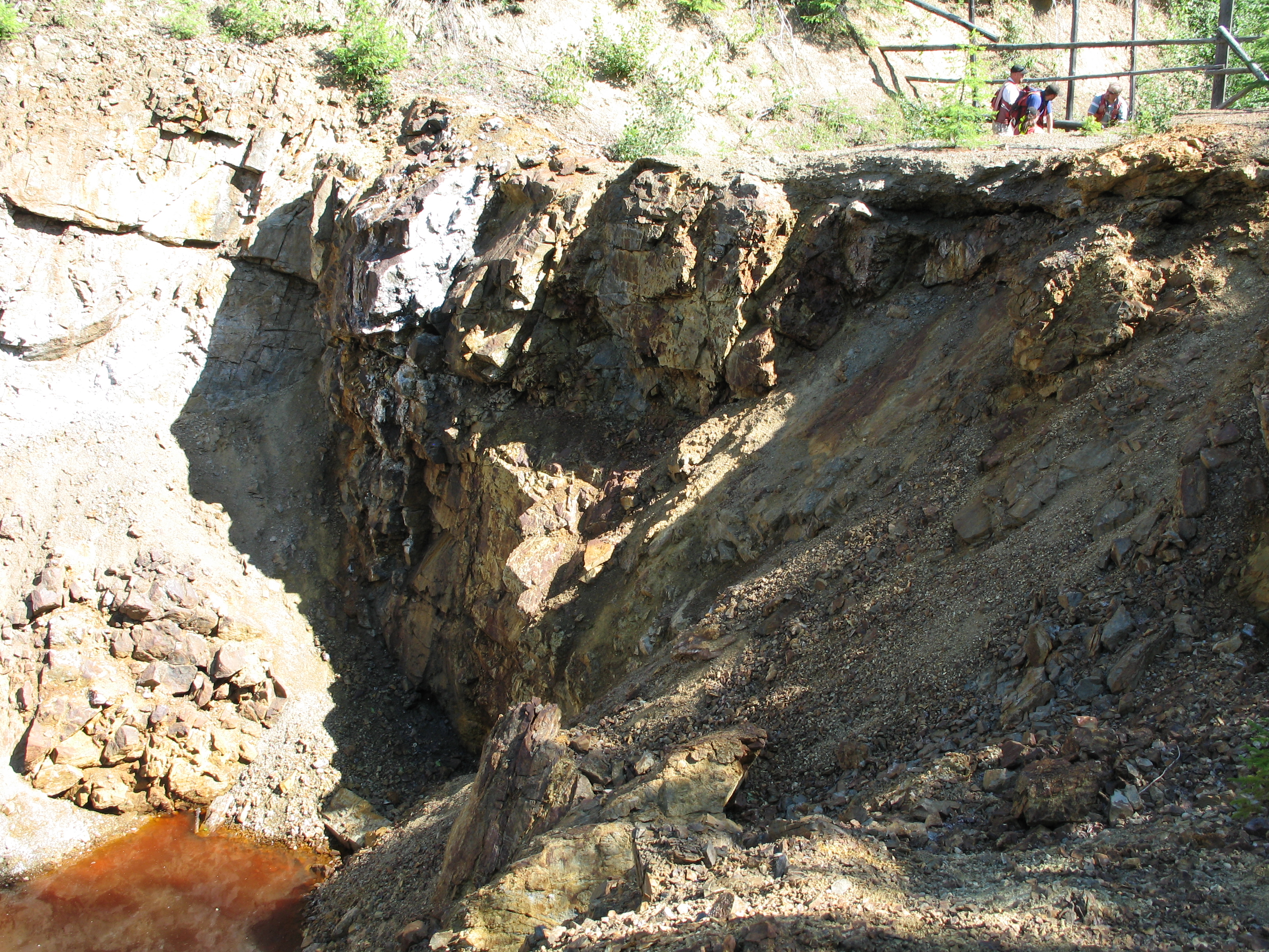
C&W tunnel - Greenwood BC
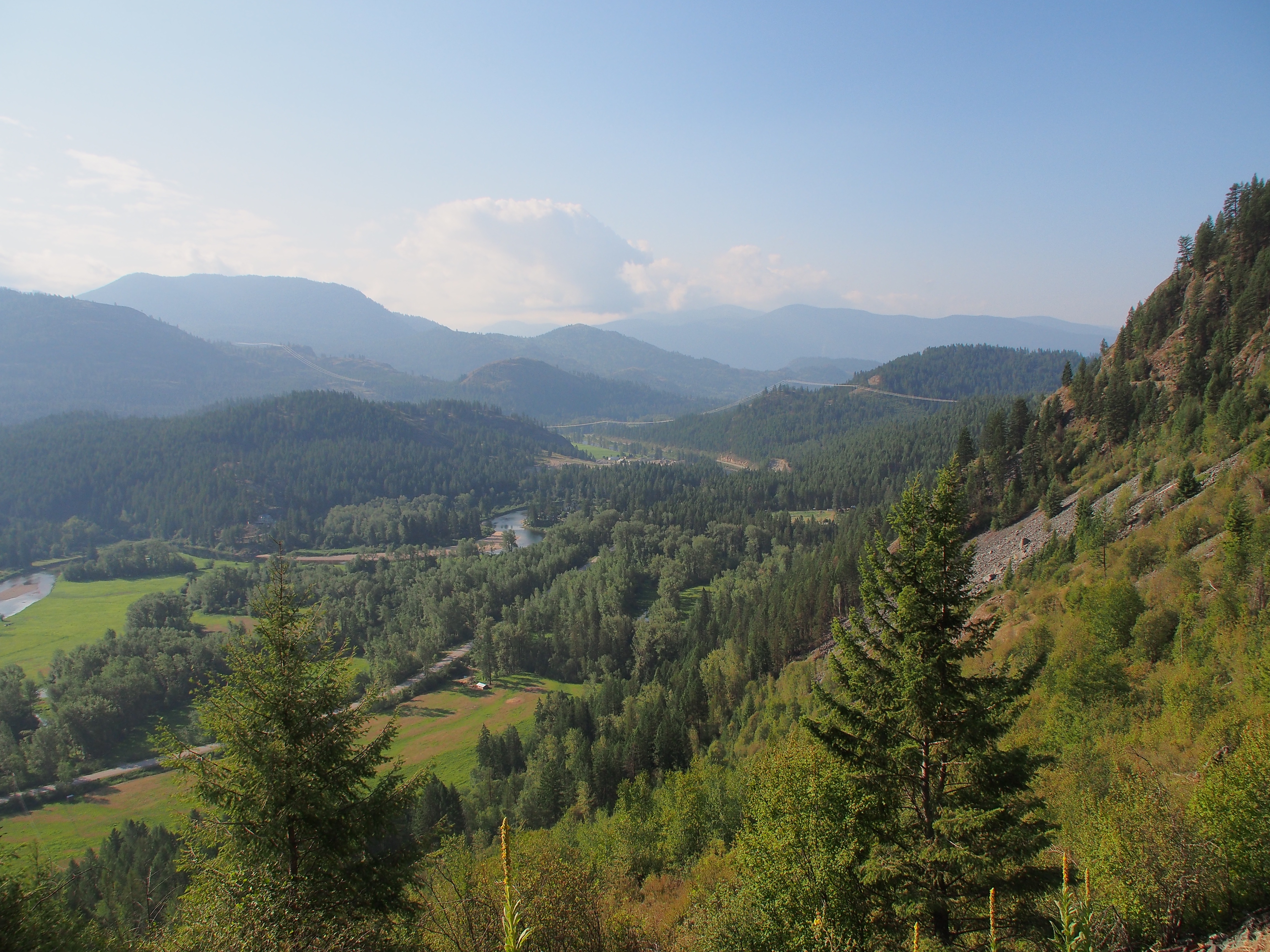
Another nice view
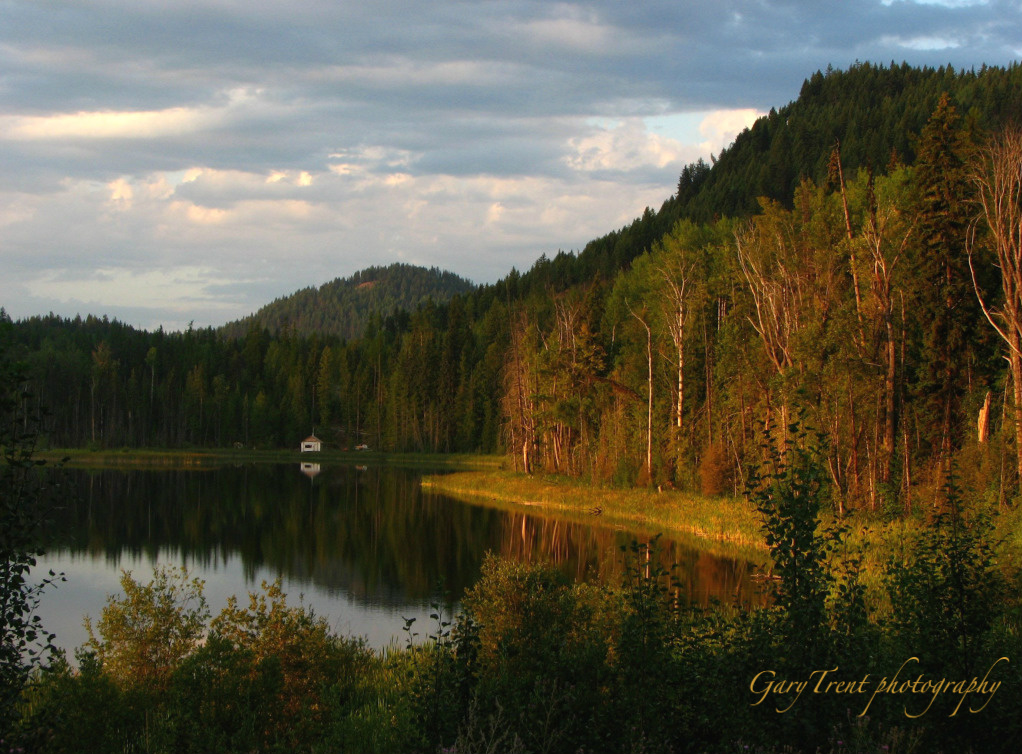
Wilgress Lake morning
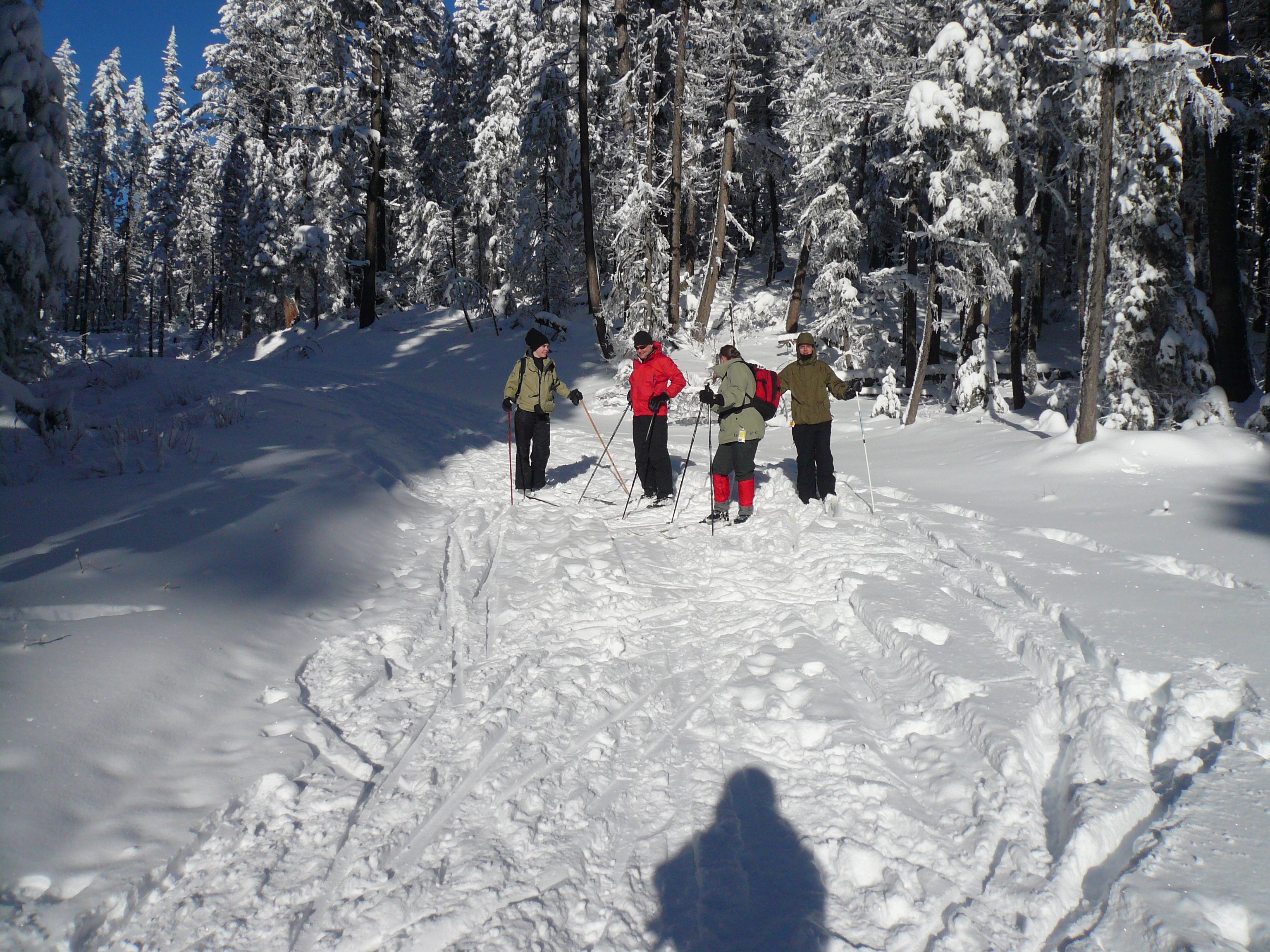
Group photo
July 09 001
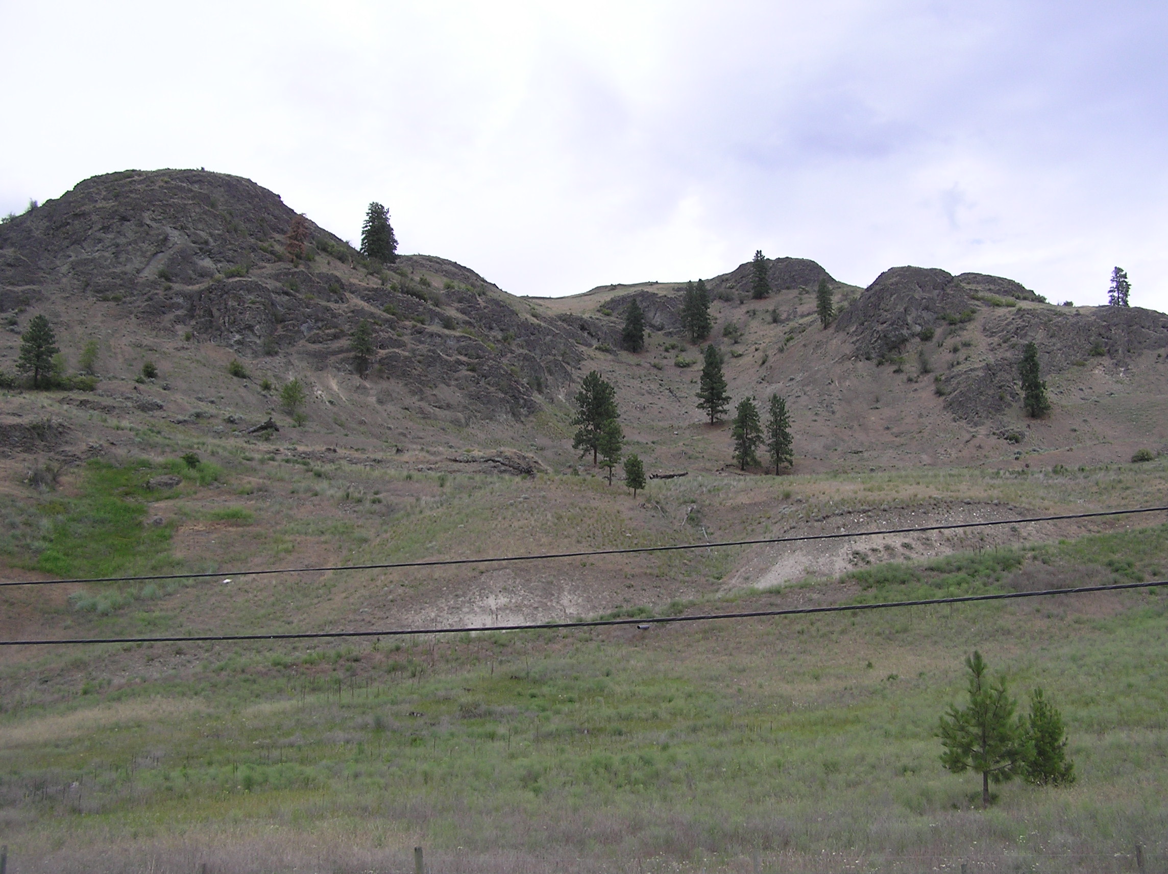
Hills of Rohan?

Phoenix townsite and mine 2011-10-30 006
Bob x-country downhill
Trailer in Midway
May Long GF 033
KVR highway overpass at Greenwood, BC

Boundary Creek
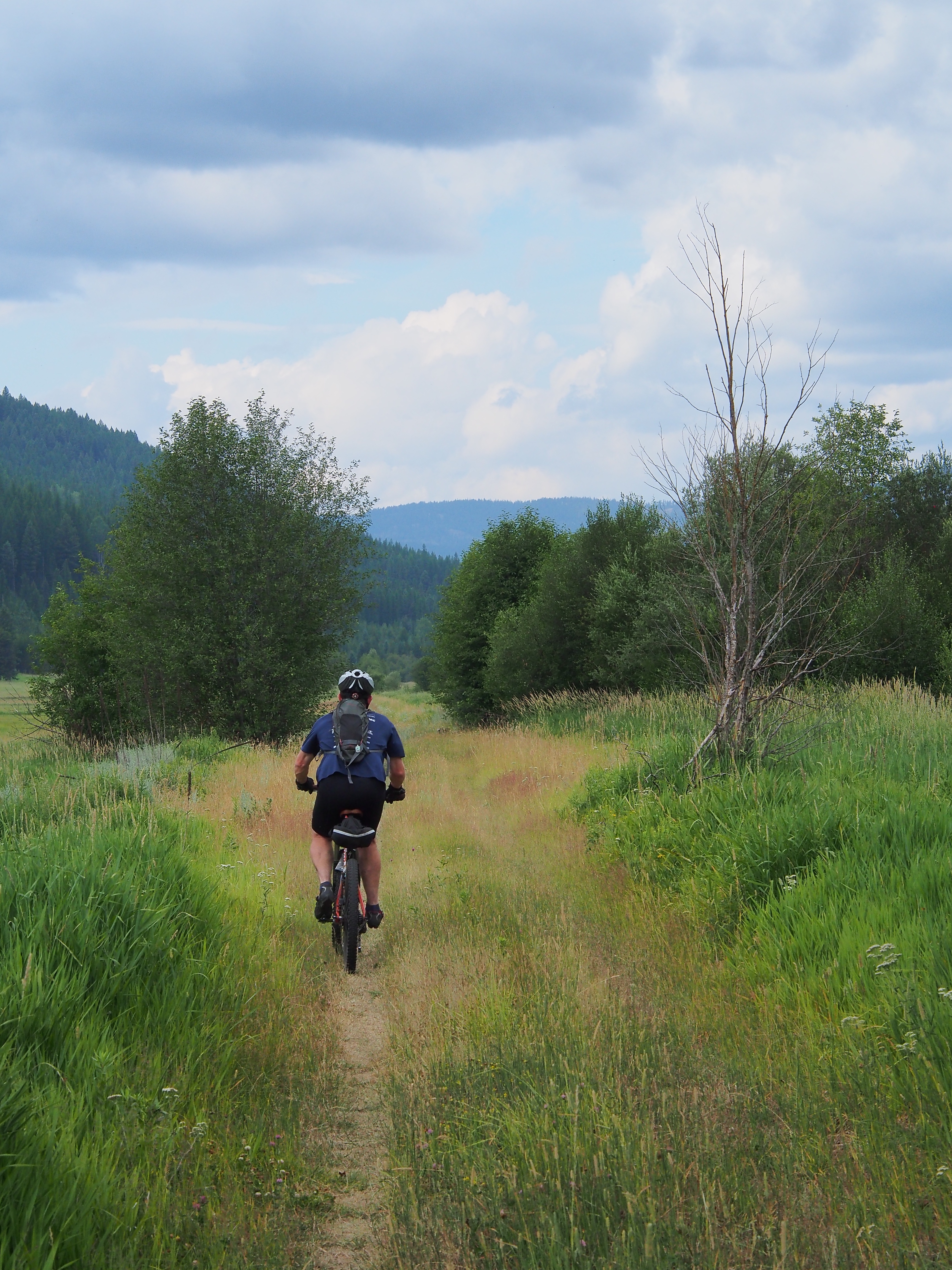
Down the Granby valley
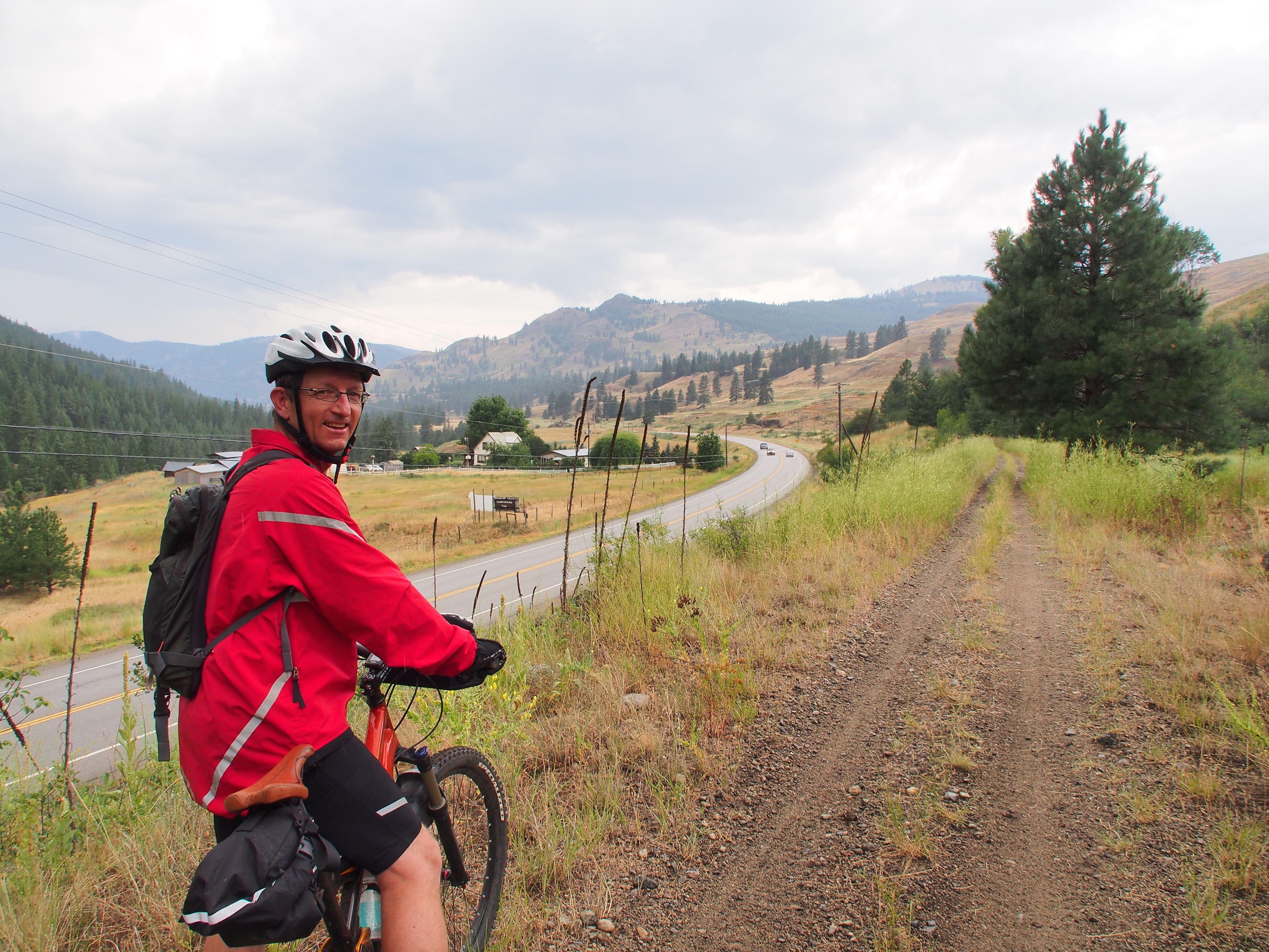
Nearing MIdway
Leaving Eholt
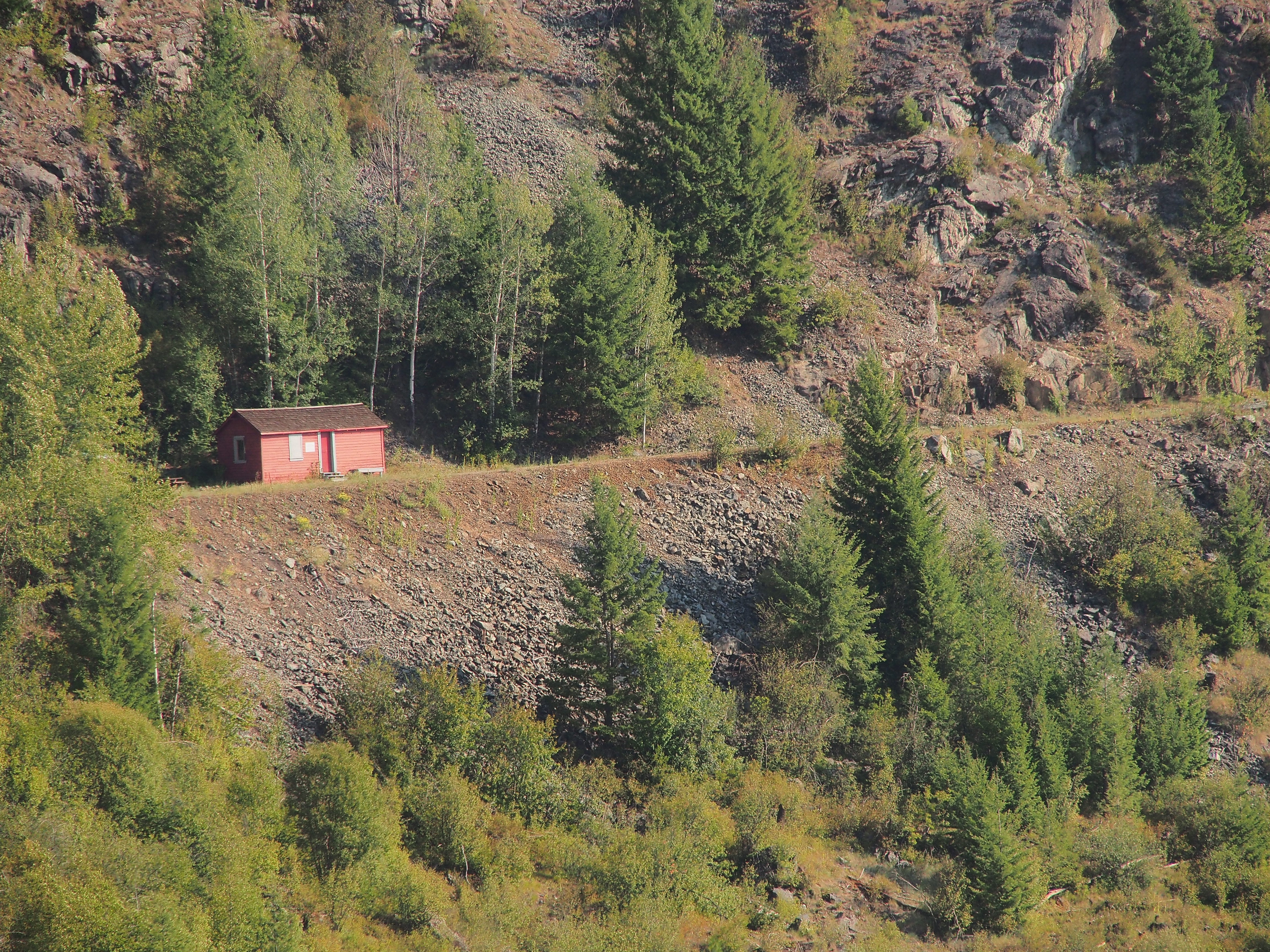
Fisherman section man's shed

IMG_2197.JPG
Topographic Map of BC-3, Greenwood, BC V0H 1J0, Canada
Find elevation by address:

Places near BC-3, Greenwood, BC V0H 1J0, Canada:
Greenwood
Eholt Jewel Lake Road
Phoenix Mountain Ski Area
Eholt
White Mountain
7400 Danshin Village Road
7400 Danshin Village Road
7400 Danshin Village Road
Midway
822 Adams St
694 Central Ave
4625 Covert Rd
11800 Brown Creek Rd
11800 Brown Creek Rd
Riverside Avenue
Danville
19 Snook Dr
390 Prospect Dr
390 Prospect Dr
9670 Granby Rd
Recent Searches:
- Elevation of Corso Fratelli Cairoli, 35, Macerata MC, Italy
- Elevation of Tallevast Rd, Sarasota, FL, USA
- Elevation of 4th St E, Sonoma, CA, USA
- Elevation of Black Hollow Rd, Pennsdale, PA, USA
- Elevation of Oakland Ave, Williamsport, PA, USA
- Elevation of Pedrógão Grande, Portugal
- Elevation of Klee Dr, Martinsburg, WV, USA
- Elevation of Via Roma, Pieranica CR, Italy
- Elevation of Tavkvetili Mountain, Georgia
- Elevation of Hartfords Bluff Cir, Mt Pleasant, SC, USA