Elevation of White Marsh Rd, Wakefield, VA, USA
Location: United States > Virginia > Surry County > Dendron >
Longitude: -76.950578
Latitude: 36.9805177
Elevation: 32m / 105feet
Barometric Pressure: 101KPa
Elevation Map:
Satellite Map:
Related Photos:
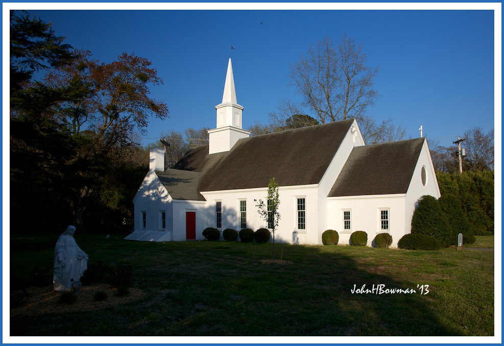
Shrine of the Infant Jesus of Prague
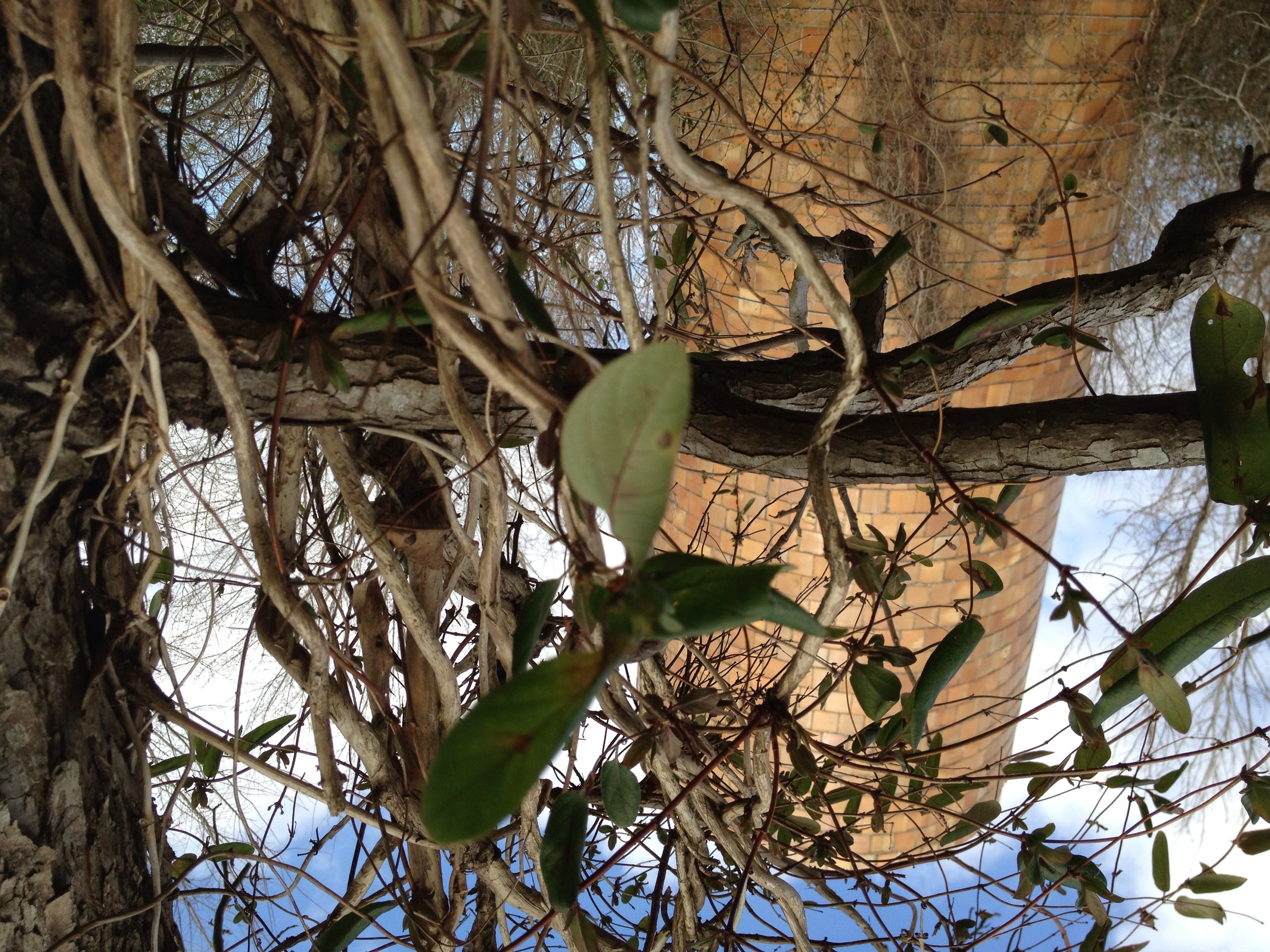
Silo View
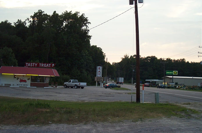
Tasty Treat of Wakefield
Sussex County

Piney Grove Preserve

Clouds14May06-0064
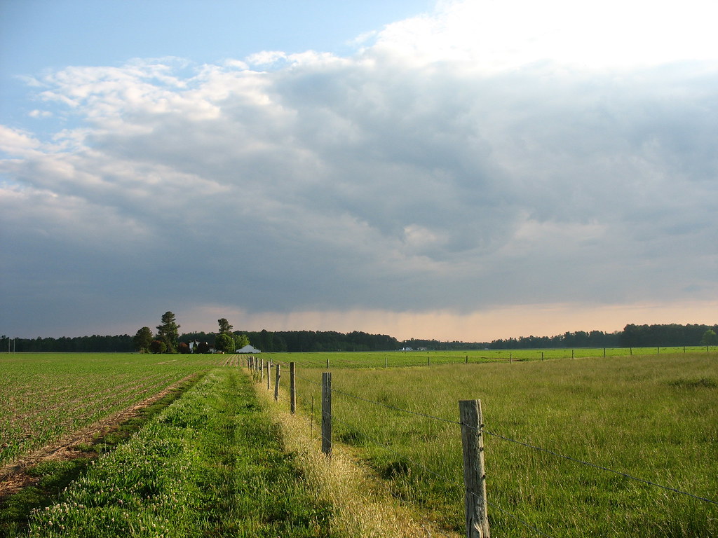
Land&Sky14May06-0090

TreeInPasture14May06-0120

Piney Grove Preserve
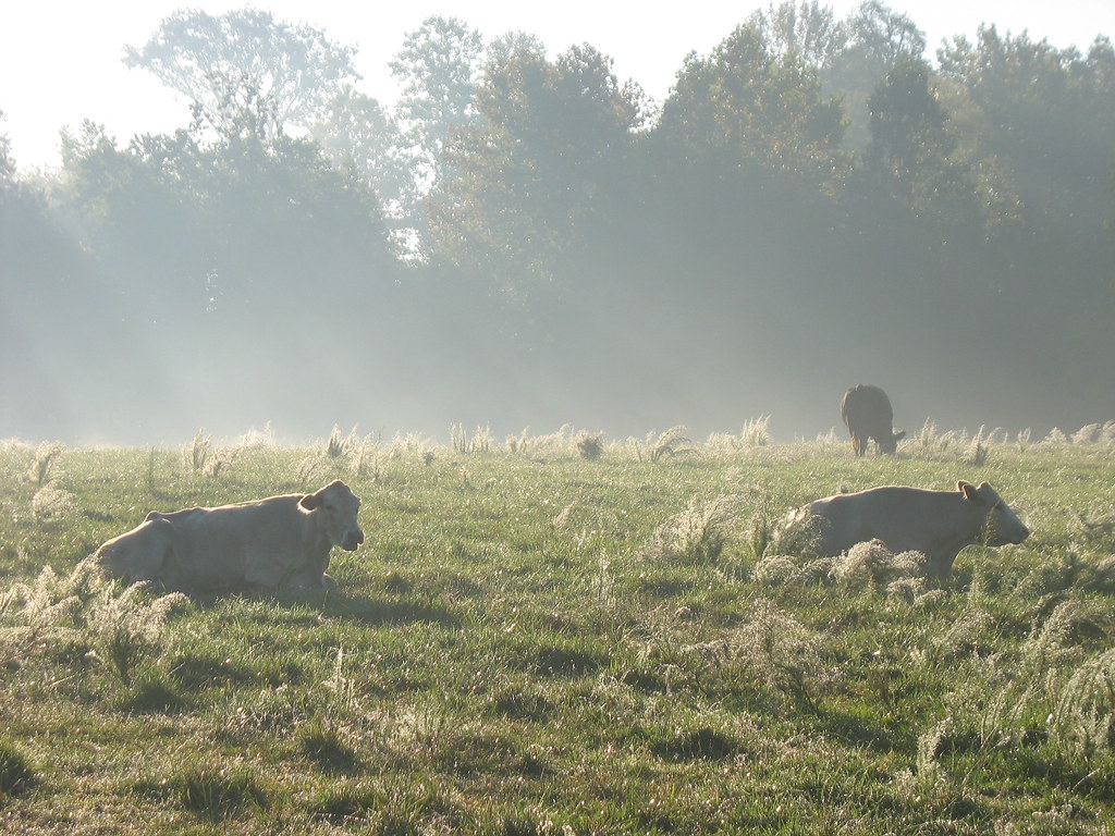
Pasture24Sep07-7253
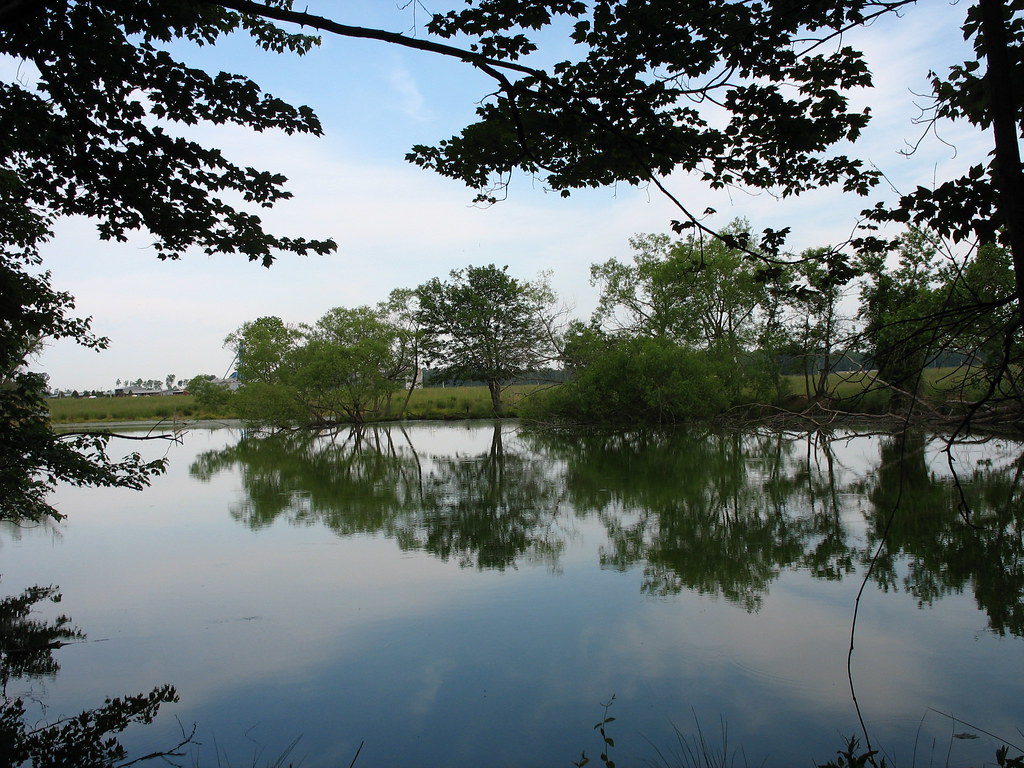
PondVector14May06-0303
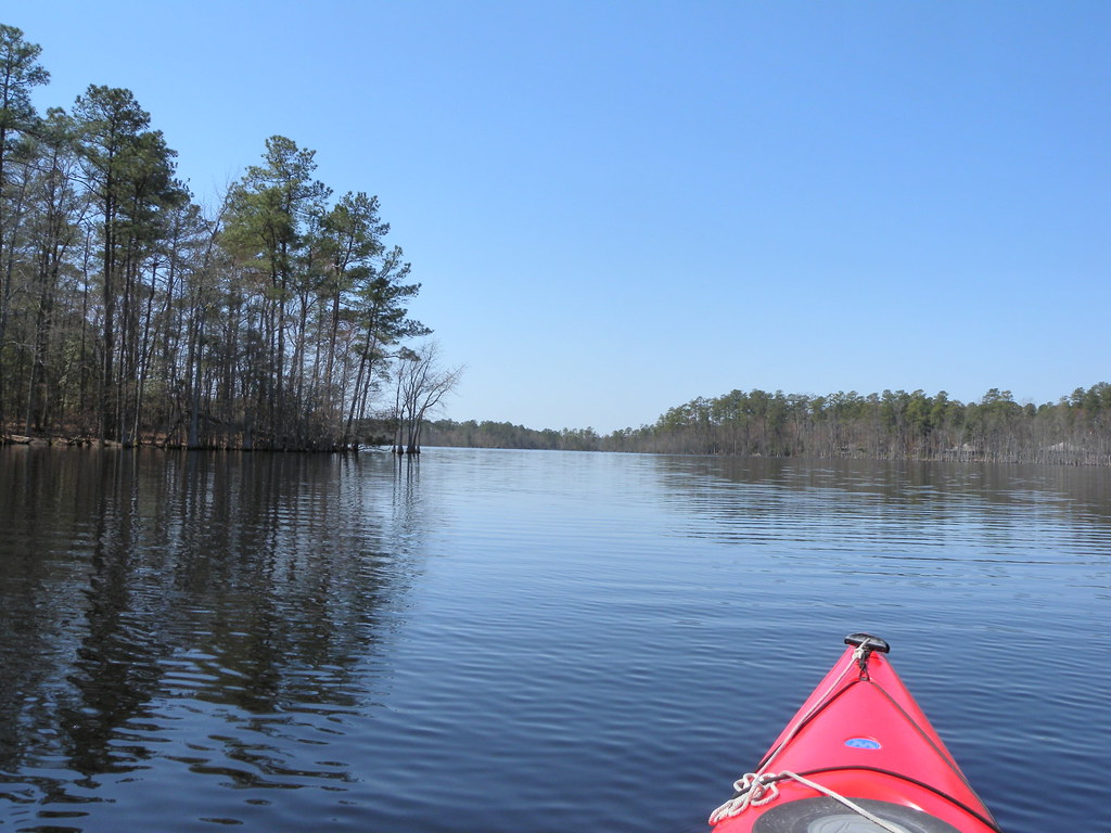
DSCN3644.JPG
Topographic Map of White Marsh Rd, Wakefield, VA, USA
Find elevation by address:

Places near White Marsh Rd, Wakefield, VA, USA:
10130 E High St
Wakefield
Dendron
Rolfe Hwy, Dendron, VA, USA
Dendron
Sadler Road
35349 General Mahone Blvd
Wakefield
Main St, Ivor, VA, USA
Ivor
Berlin And Ivor
Carsley
Rolfe Hwy, Dendron, VA, USA
Loafers Oak Rd, Dendron, VA, USA
Martin Luther King Hwy, Waverly, VA, USA
Waverly
Surry County
Modest Neck Rd, Ivor, VA, USA
15051 Appleton Rd
Sedley, VA, USA
Recent Searches:
- Elevation of Corso Fratelli Cairoli, 35, Macerata MC, Italy
- Elevation of Tallevast Rd, Sarasota, FL, USA
- Elevation of 4th St E, Sonoma, CA, USA
- Elevation of Black Hollow Rd, Pennsdale, PA, USA
- Elevation of Oakland Ave, Williamsport, PA, USA
- Elevation of Pedrógão Grande, Portugal
- Elevation of Klee Dr, Martinsburg, WV, USA
- Elevation of Via Roma, Pieranica CR, Italy
- Elevation of Tavkvetili Mountain, Georgia
- Elevation of Hartfords Bluff Cir, Mt Pleasant, SC, USA