Elevation of Wakefield, VA, USA
Location: United States > Virginia > Sussex County >
Longitude: -77.033417
Latitude: 36.946551
Elevation: 30m / 98feet
Barometric Pressure: 101KPa
Elevation Map:
Satellite Map:
Related Photos:

Shrine of the Infant Jesus of Prague

Tasty Treat of Wakefield

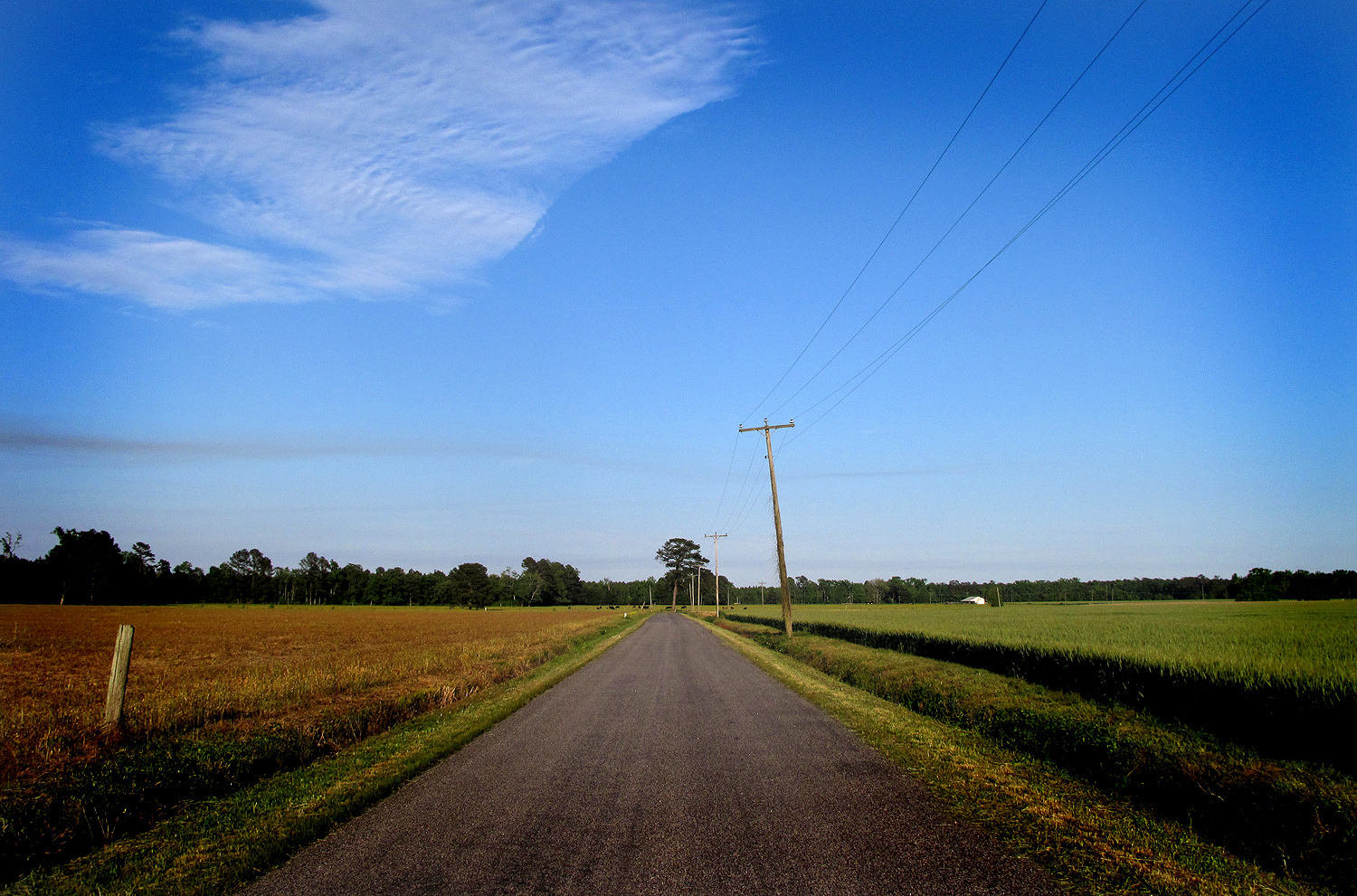
Silo View
Sussex County

Peanut Farm
DSCN3644.JPG

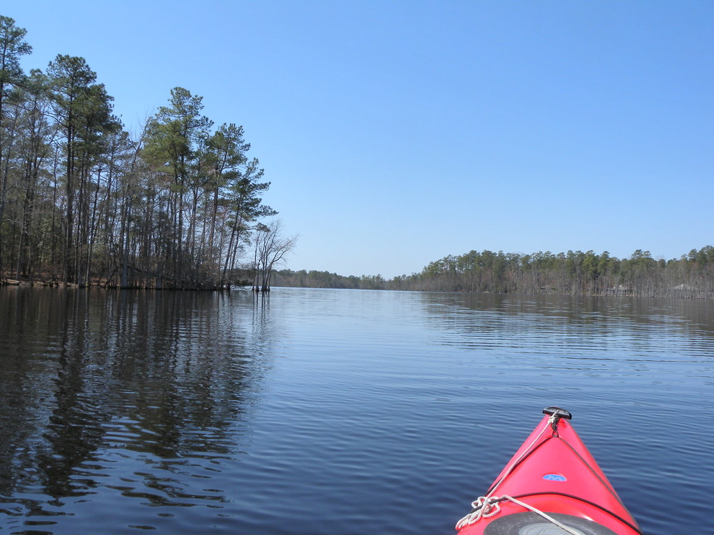
Carson, Rowanty Creek, Pigeon Swamp and the Assamoosick Swamp

Carson, Rowanty Creek, Pigeon Swamp and the Assamoosick Swamp

Carson, Rowanty Creek, Pigeon Swamp and the Assamoosick Swamp

Carson, Rowanty Creek, Pigeon Swamp and the Assamoosick Swamp

Carson, Rowanty Creek, Pigeon Swamp and the Assamoosick Swamp

Carson, Rowanty Creek, Pigeon Swamp and the Assamoosick Swamp

Carson, Rowanty Creek, Pigeon Swamp and the Assamoosick Swamp

Carson, Rowanty Creek, Pigeon Swamp and the Assamoosick Swamp

Carson, Rowanty Creek, Pigeon Swamp and the Assamoosick Swamp

Carson, Rowanty Creek, Pigeon Swamp and the Assamoosick Swamp

Carson, Rowanty Creek, Pigeon Swamp and the Assamoosick Swamp
Topographic Map of Wakefield, VA, USA
Find elevation by address:

Places in Wakefield, VA, USA:
Places near Wakefield, VA, USA:
Wakefield
10130 E High St
White Marsh Rd, Wakefield, VA, USA
Sadler Road
Waverly
Sedley, VA, USA
State Rte, Waverly, VA, USA
35349 General Mahone Blvd
Dendron
Rolfe Hwy, Dendron, VA, USA
Main St, Ivor, VA, USA
Ivor
Berlin And Ivor
Dendron
Martin Luther King Hwy, Waverly, VA, USA
Carsley
15051 Appleton Rd
Johnsons Mill Rd, Sedley, VA, USA
Sedley
Martin Luther King Hwy, Waverly, VA, USA
Recent Searches:
- Elevation of Corso Fratelli Cairoli, 35, Macerata MC, Italy
- Elevation of Tallevast Rd, Sarasota, FL, USA
- Elevation of 4th St E, Sonoma, CA, USA
- Elevation of Black Hollow Rd, Pennsdale, PA, USA
- Elevation of Oakland Ave, Williamsport, PA, USA
- Elevation of Pedrógão Grande, Portugal
- Elevation of Klee Dr, Martinsburg, WV, USA
- Elevation of Via Roma, Pieranica CR, Italy
- Elevation of Tavkvetili Mountain, Georgia
- Elevation of Hartfords Bluff Cir, Mt Pleasant, SC, USA