Elevation of White Horse Mountain, Nevada, USA
Location: United States > Nevada > Elko County >
Longitude: -114.26918
Latitude: 40.2960438
Elevation: 2386m / 7828feet
Barometric Pressure: 76KPa
Elevation Map:
Satellite Map:
Related Photos:
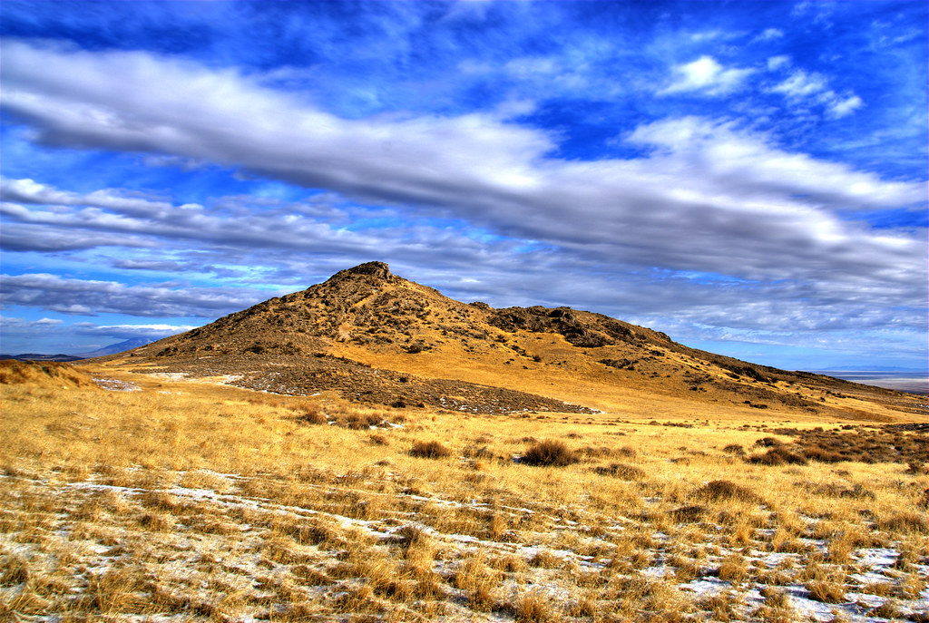
Landscape, White Horse Pass, Nevada
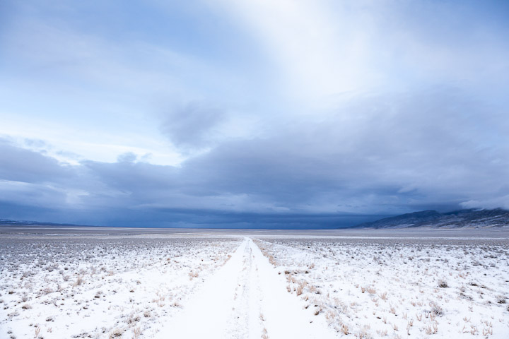
Antelope Valley, NV

Lincoln Highway Trip 099

Cooper's Hawk - Elko, NV

X-ing USA

May/June 2013
Topographic Map of White Horse Mountain, Nevada, USA
Find elevation by address:

Places near White Horse Mountain, Nevada, USA:
Goshute Peak
Dolly Varden Mountains Hp
Ibapah
West Wendover
Wendover
Ibapah Peak
Red Mountain
Kern Mountains Hp
Cherry Creek
White Pine County
O'neal Peak
Telegraph Peak
Mcgill
Ruby Valley Rd, Nevada, USA
9039 Nv-767
Soldier Peak
Recent Searches:
- Elevation of Corso Fratelli Cairoli, 35, Macerata MC, Italy
- Elevation of Tallevast Rd, Sarasota, FL, USA
- Elevation of 4th St E, Sonoma, CA, USA
- Elevation of Black Hollow Rd, Pennsdale, PA, USA
- Elevation of Oakland Ave, Williamsport, PA, USA
- Elevation of Pedrógão Grande, Portugal
- Elevation of Klee Dr, Martinsburg, WV, USA
- Elevation of Via Roma, Pieranica CR, Italy
- Elevation of Tavkvetili Mountain, Georgia
- Elevation of Hartfords Bluff Cir, Mt Pleasant, SC, USA