Elevation of Telegraph Peak, Nevada, USA
Location: United States > Nevada > Ely >
Longitude: -114.90391
Latitude: 39.6904907
Elevation: 2998m / 9836feet
Barometric Pressure: 70KPa
Elevation Map:
Satellite Map:
Related Photos:
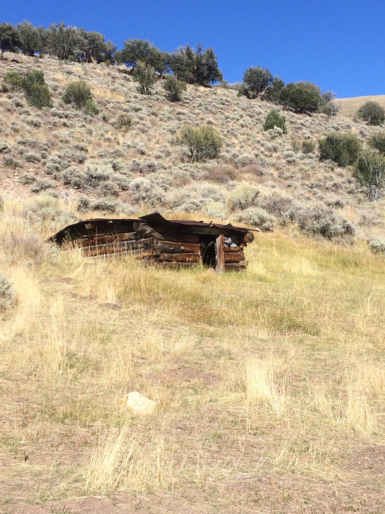
Old Shack near Telegraph Peak - Great Basin Desert Nevada
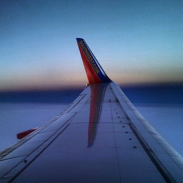
The edge of night approaching. #CoffeeKen #southwestairlines #iwanttotravel #travel #airplanes

Highway 93 Southbound

Greater sage-grouse hen with radio collar, NV (2)
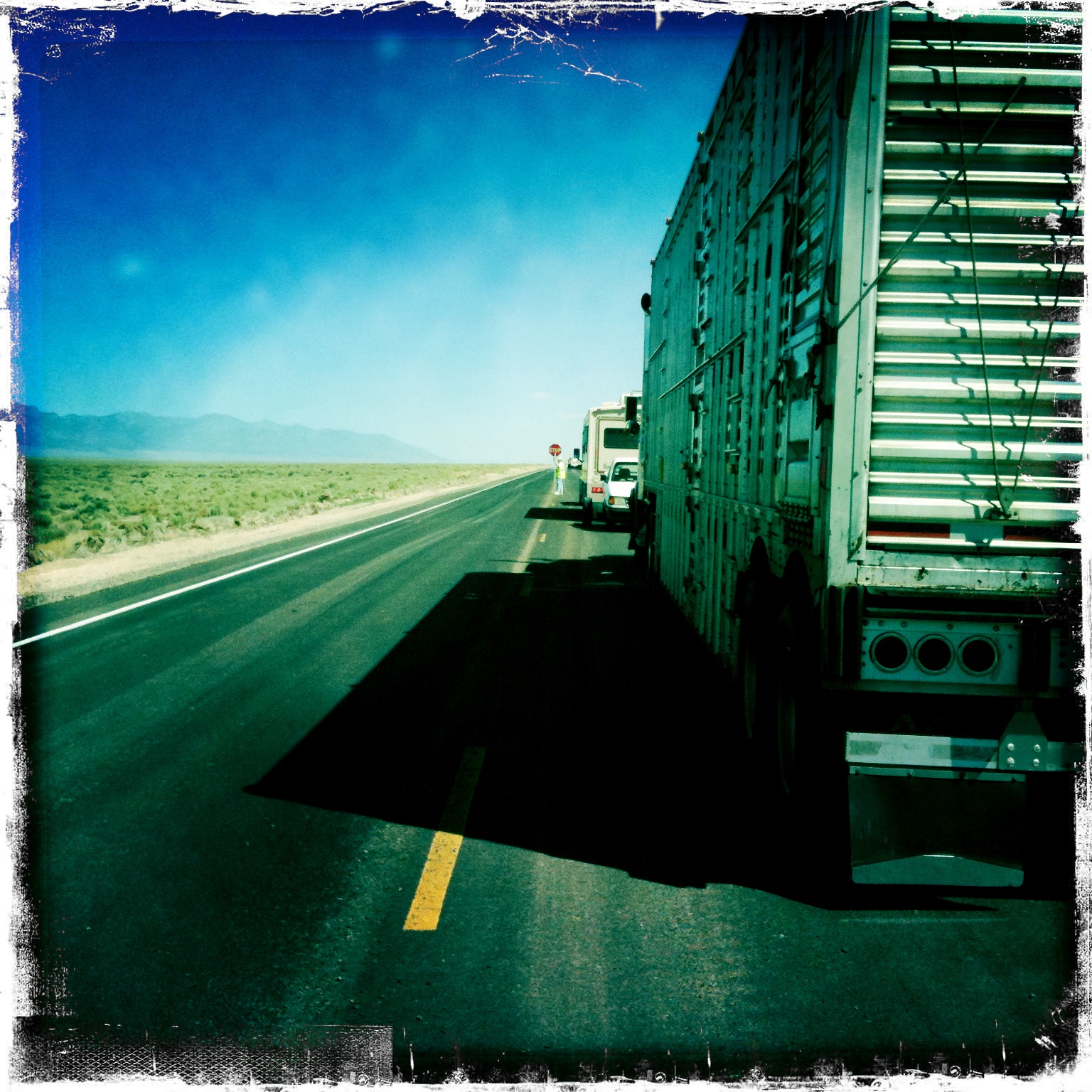
A Lot Of This On The 93
Topographic Map of Telegraph Peak, Nevada, USA
Find elevation by address:

Places near Telegraph Peak, Nevada, USA:
Cherry Creek
Mcgill
White Pine County
O'neal Peak
Dolly Varden Mountains Hp
Kern Mountains Hp
White Horse Mountain
Red Mountain
9039 Nv-767
Ibapah
Ibapah Peak
Goshute Peak
Ruby Valley Rd, Nevada, USA
Soldier Peak
West Wendover
Wendover
Recent Searches:
- Elevation of Corso Fratelli Cairoli, 35, Macerata MC, Italy
- Elevation of Tallevast Rd, Sarasota, FL, USA
- Elevation of 4th St E, Sonoma, CA, USA
- Elevation of Black Hollow Rd, Pennsdale, PA, USA
- Elevation of Oakland Ave, Williamsport, PA, USA
- Elevation of Pedrógão Grande, Portugal
- Elevation of Klee Dr, Martinsburg, WV, USA
- Elevation of Via Roma, Pieranica CR, Italy
- Elevation of Tavkvetili Mountain, Georgia
- Elevation of Hartfords Bluff Cir, Mt Pleasant, SC, USA