Elevation of Wheeler County, GA, USA
Location: United States > Georgia >
Longitude: -82.691542
Latitude: 32.0999794
Elevation: 63m / 207feet
Barometric Pressure: 101KPa
Elevation Map:
Satellite Map:
Related Photos:
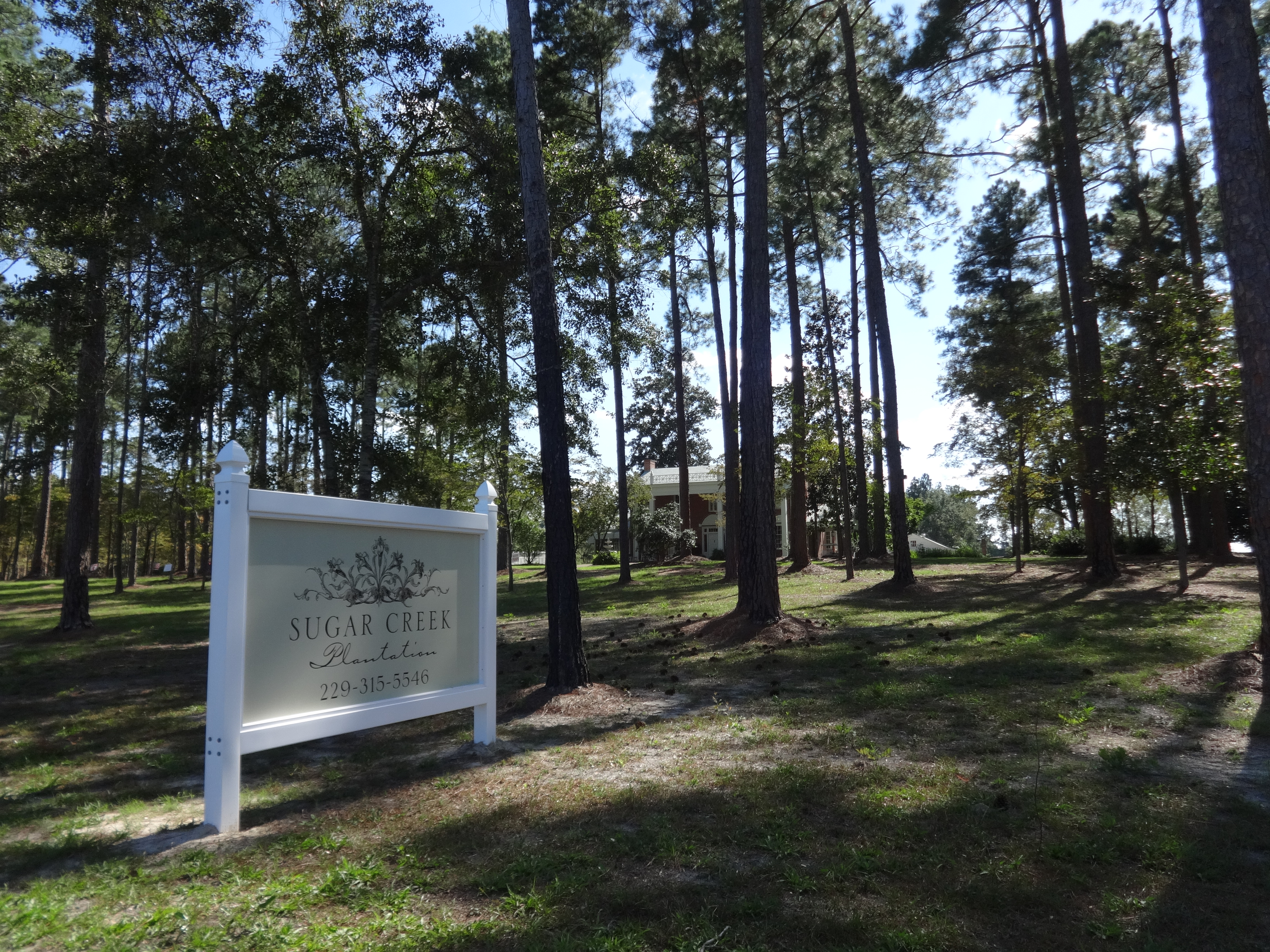
Sugar Creek Plantation, Telfair County
C03-Image330

photo.jpg
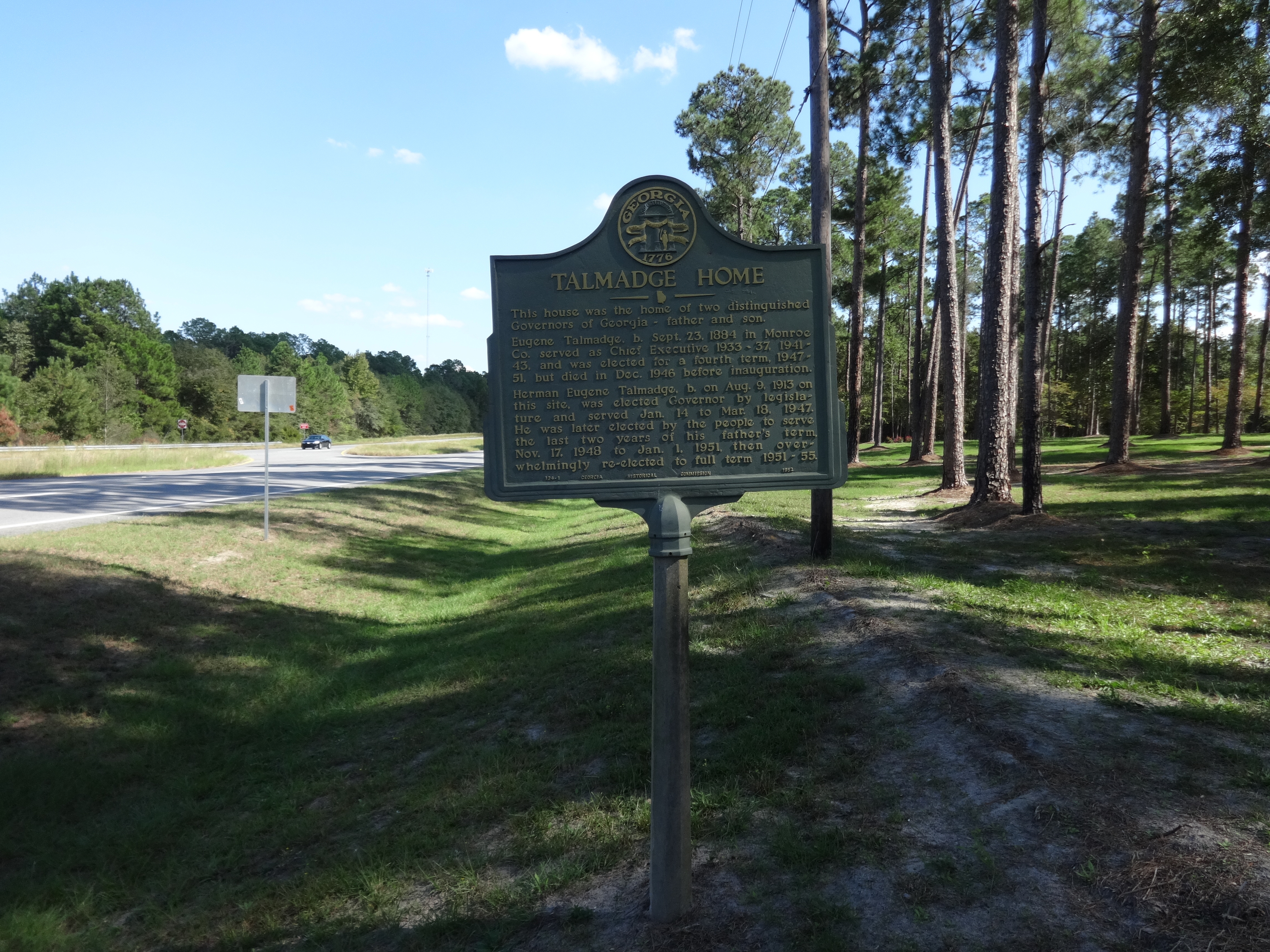
Talmadge Home Historical marker

Lighthouse of Prayer for All People, Scotland, Georgia

Liquor Store, Scotland, Georgia
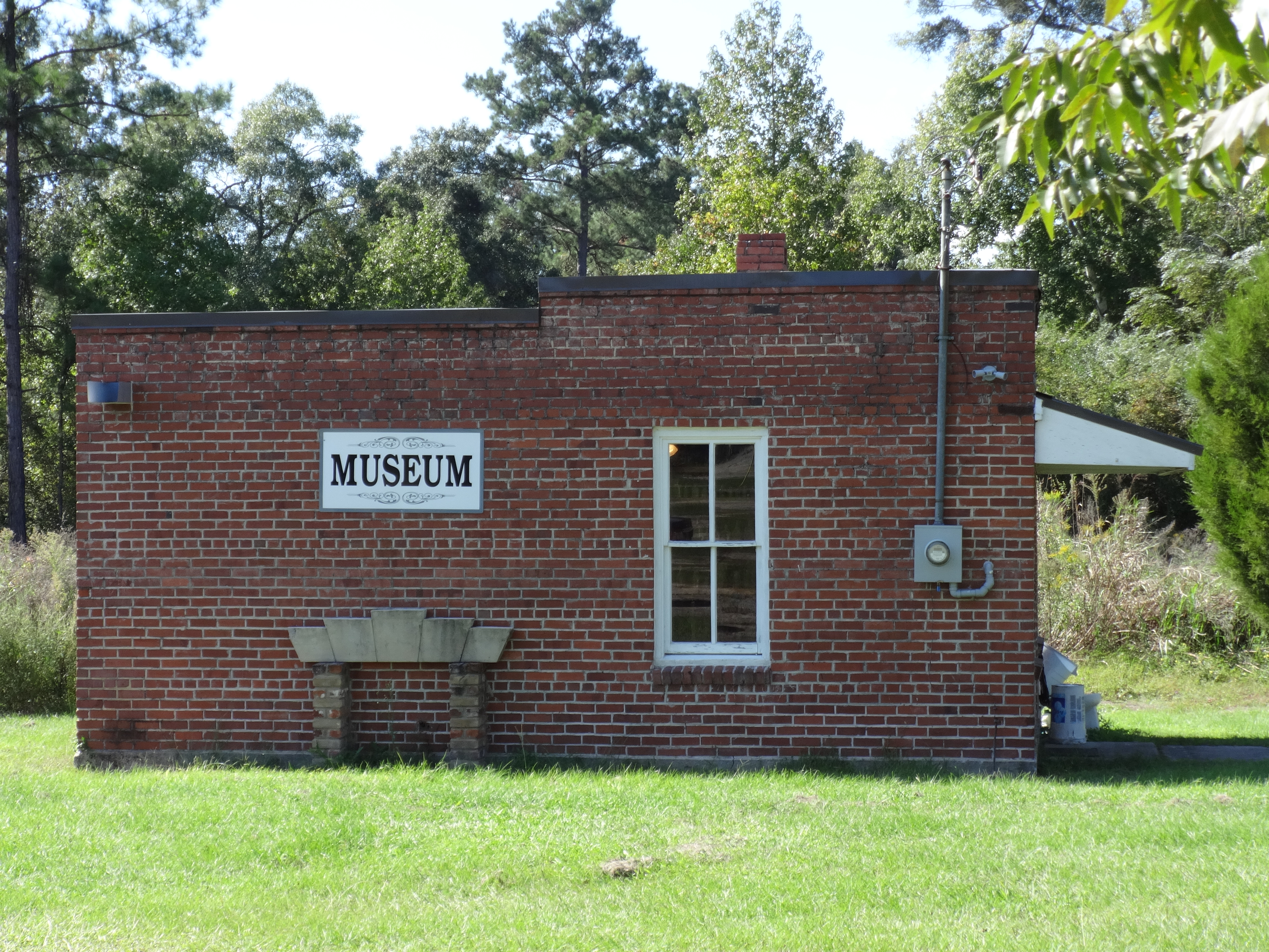
Museum, Scotland, Georgia
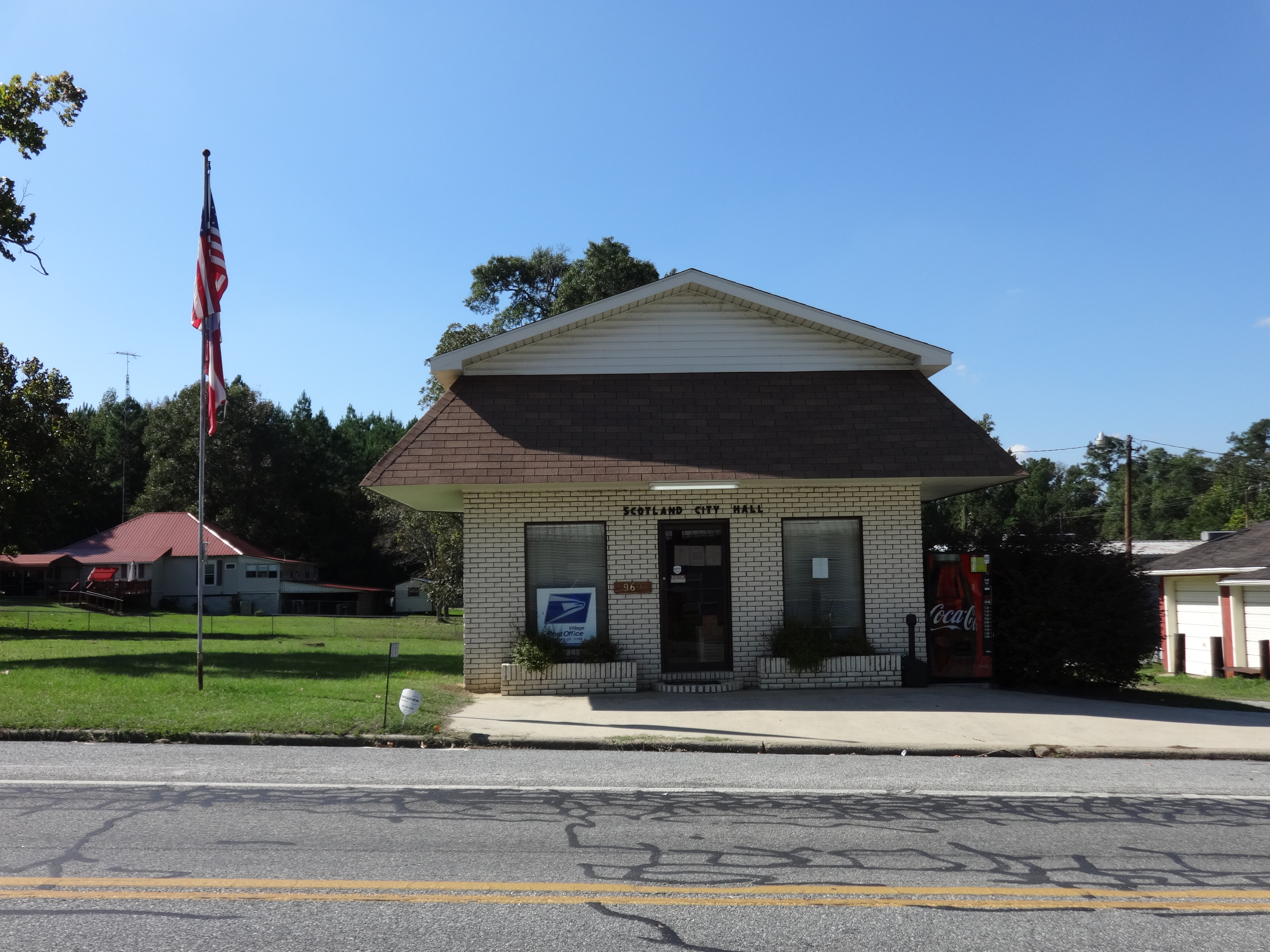
Scotland City Hall, Georgia
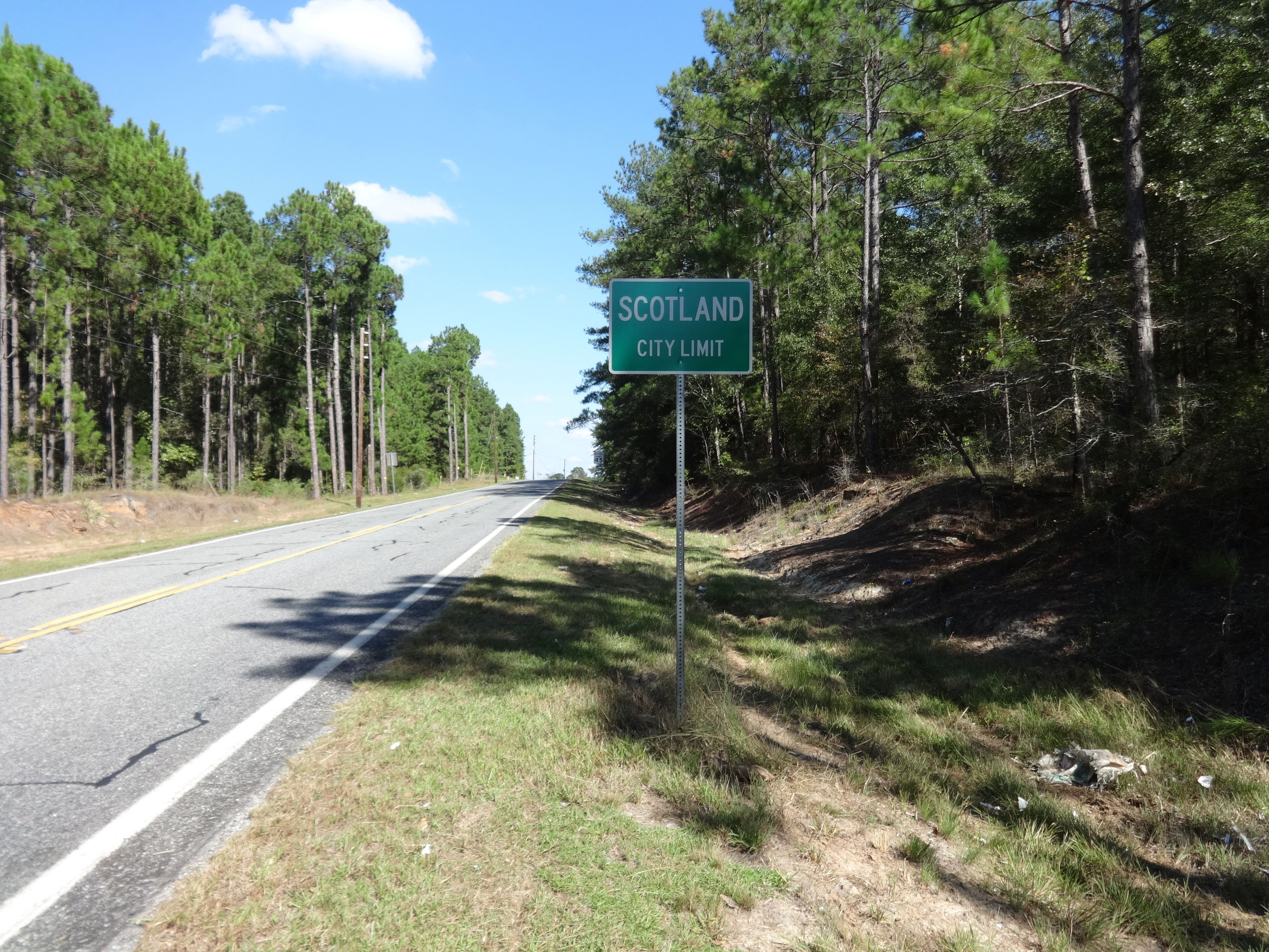
Scotland City limit, GA149NB
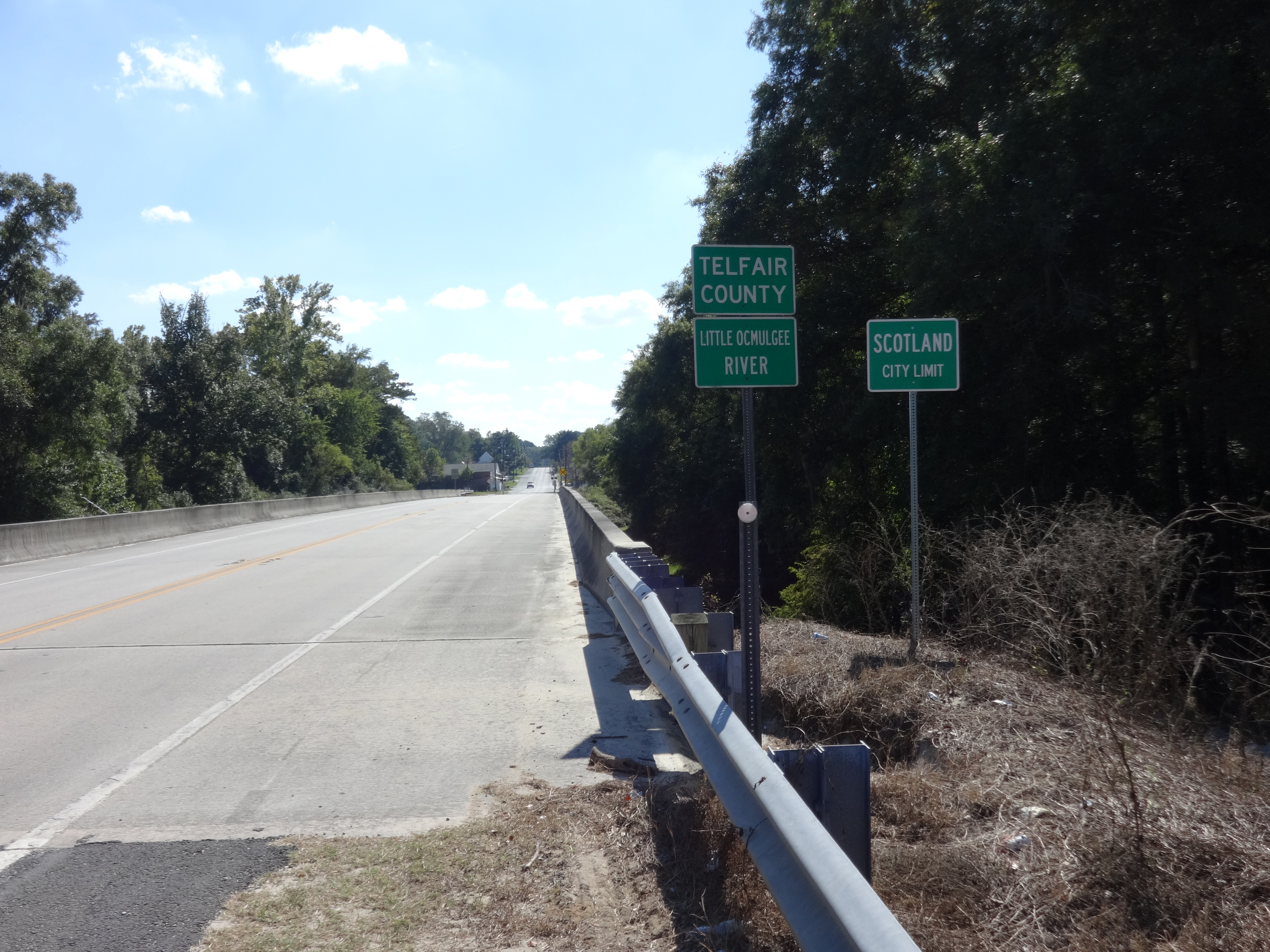
Scotland City limit, Telfair County border, GA149SB
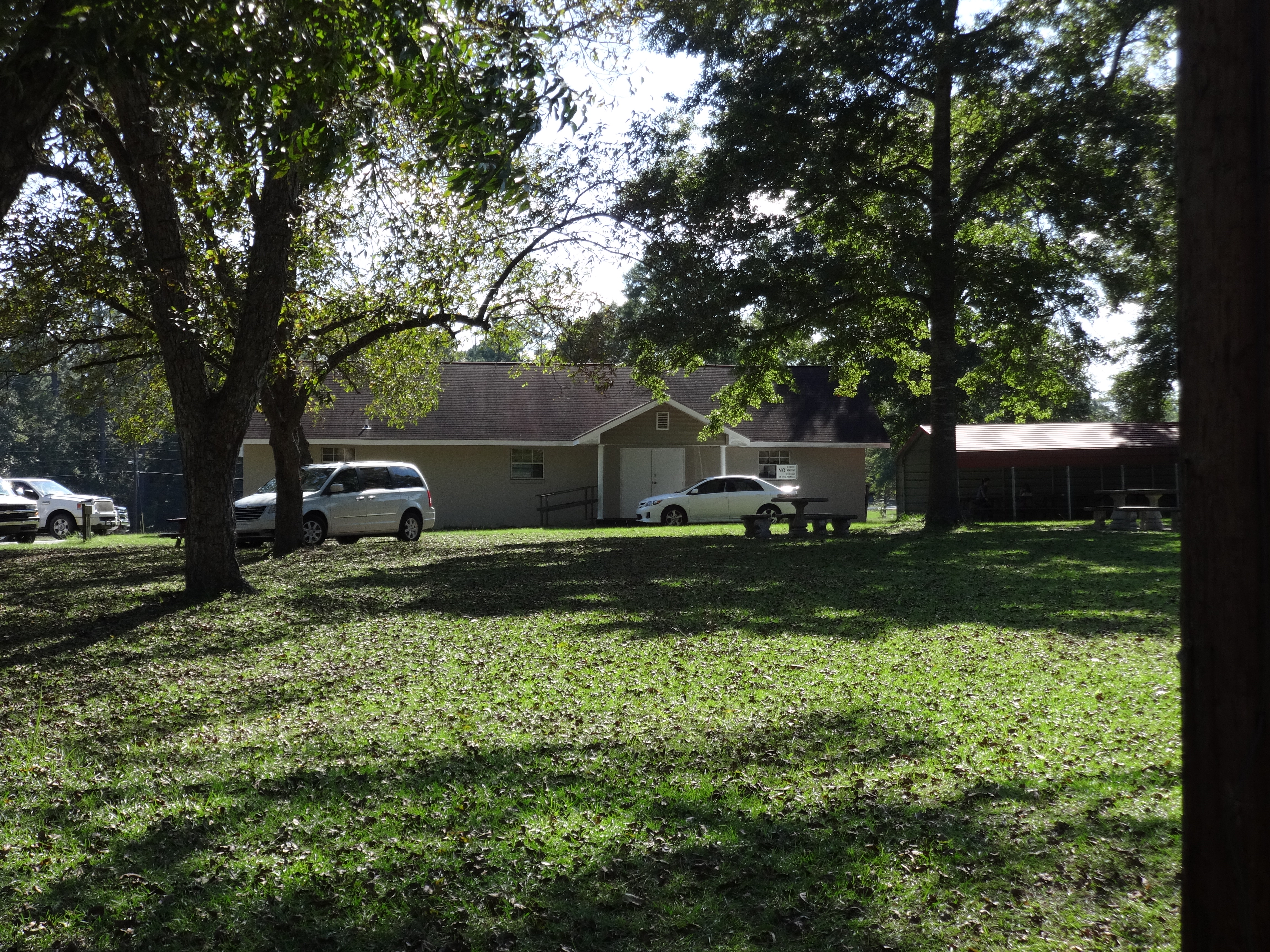
Scotland Community Center, Georgia
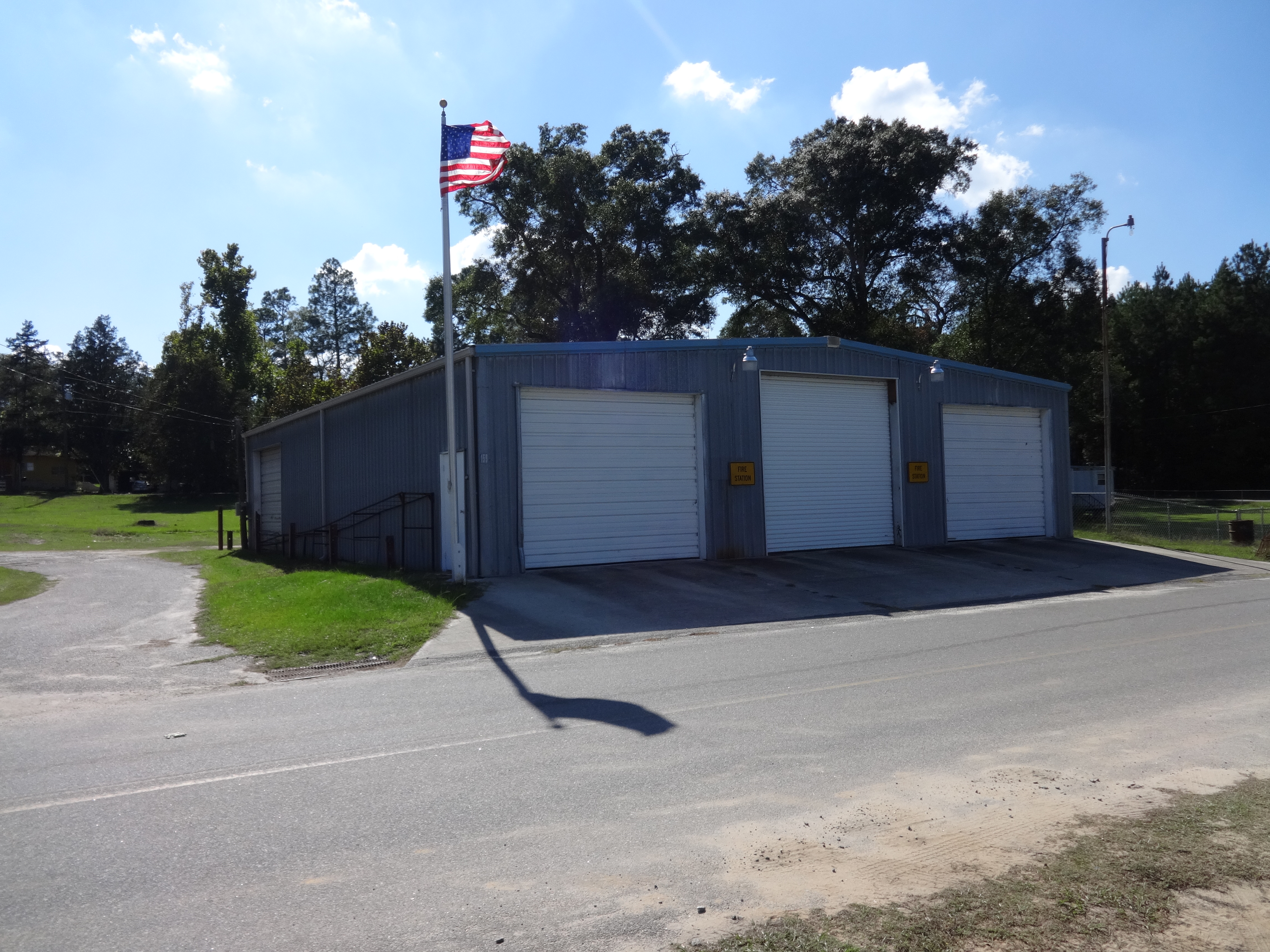
Scotland Fire Station, Georgia

Scotland Maintenance Dept, Georgia
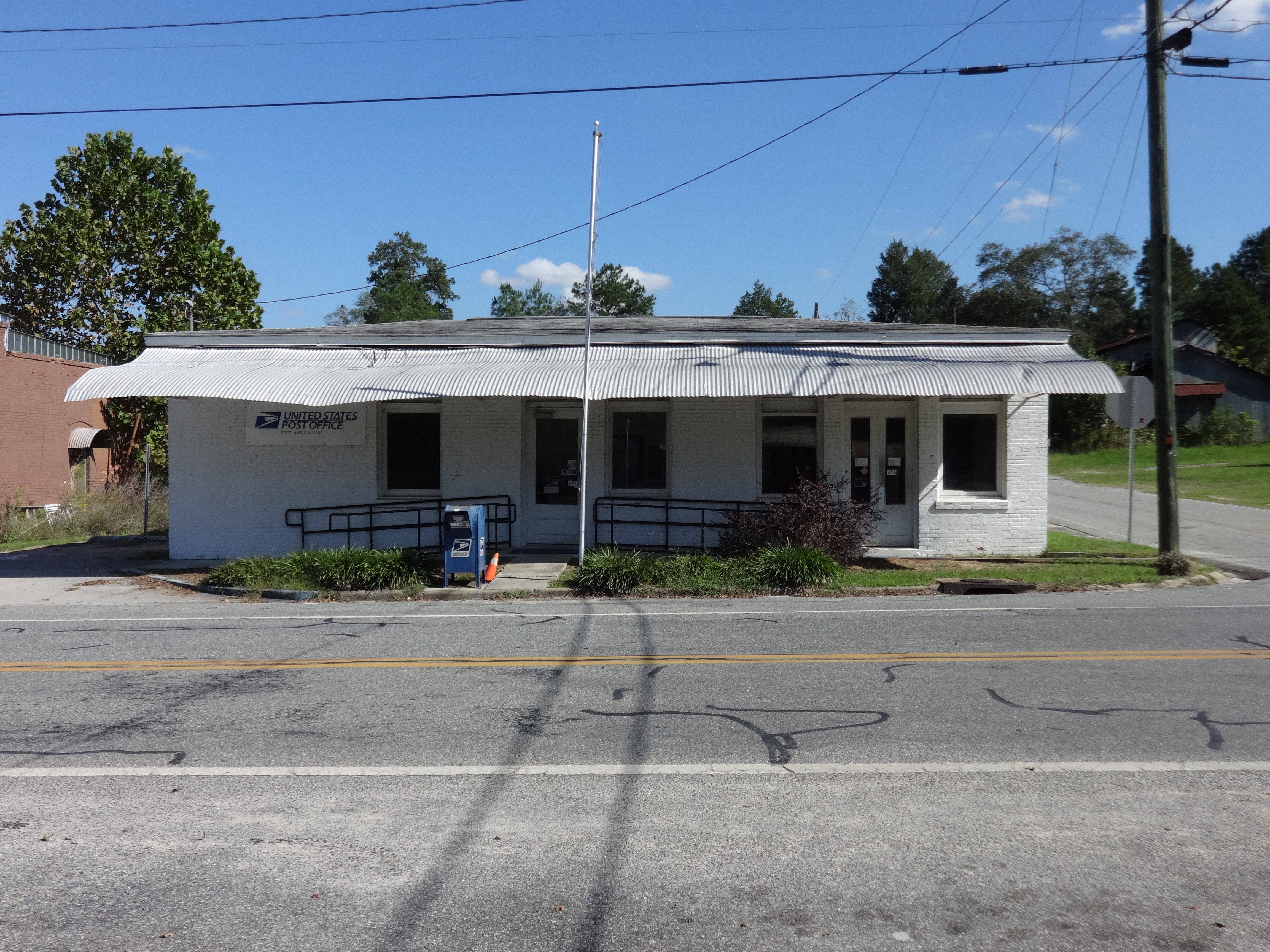
Scotland Post Office, Georgia
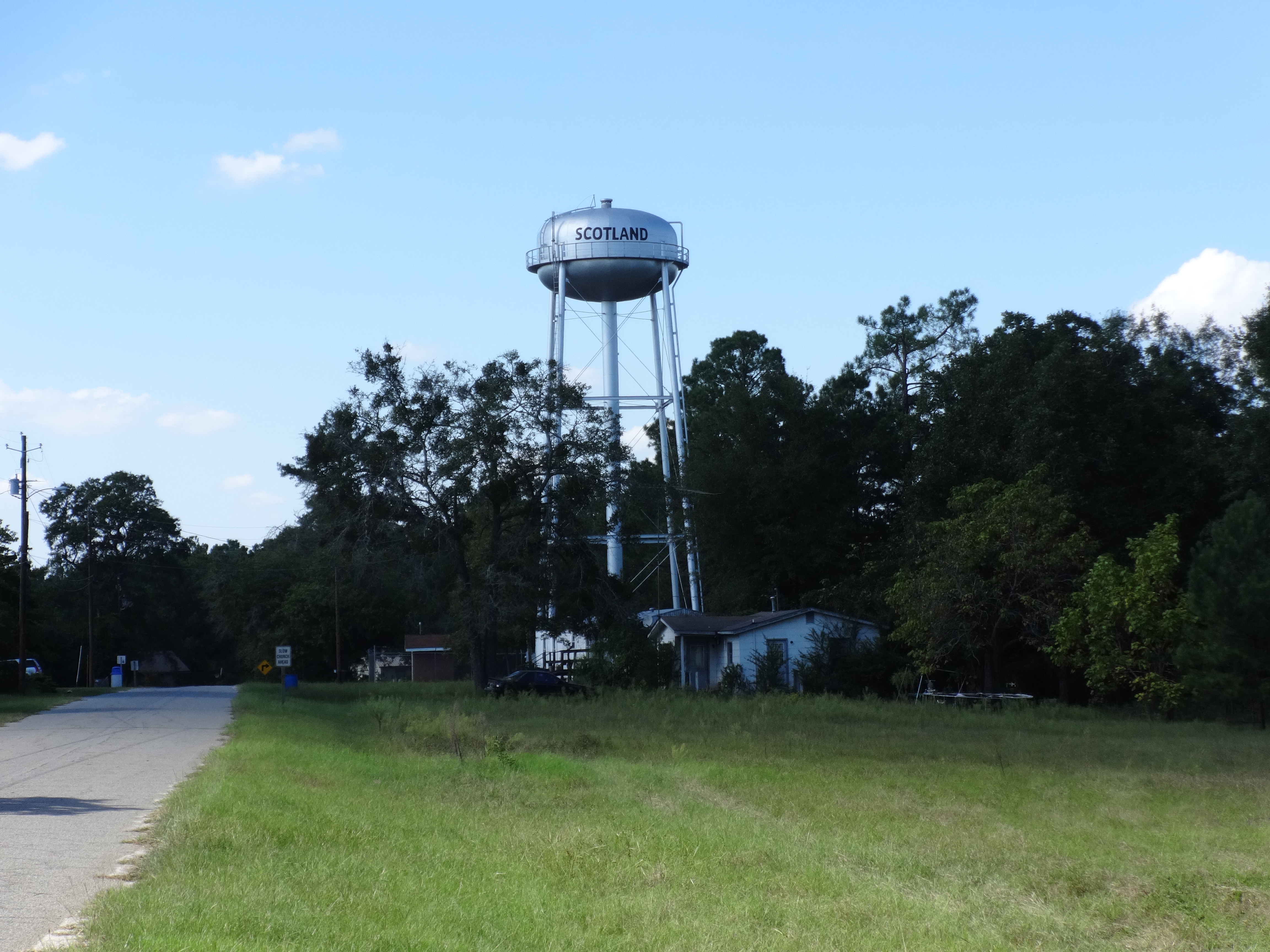
Scotland Water Tower, Georgia

Wheeler County, GA149NB
Topographic Map of Wheeler County, GA, USA
Find elevation by address:

Places in Wheeler County, GA, USA:
Places near Wheeler County, GA, USA:
Glenwood
12 1st Ave, Alamo, GA, USA
Alamo
Ochwalkee Creek
Co Rd, Glenwood, GA, USA
Mount Vernon
Main St, McRae, GA, USA
220 Bay Springs Church Road
US-, Mt Vernon, GA, USA
118 Gum St
S Railroad St, Ailey, GA, USA
Ailey
US-, Alamo, GA, USA
1301 Ga-30
786 Golden Isles Pkwy
95 Coleman Rd
Montgomery County
162 Three Rivers Ln
313 W Myrtle St
Uvalda
Recent Searches:
- Elevation of Corso Fratelli Cairoli, 35, Macerata MC, Italy
- Elevation of Tallevast Rd, Sarasota, FL, USA
- Elevation of 4th St E, Sonoma, CA, USA
- Elevation of Black Hollow Rd, Pennsdale, PA, USA
- Elevation of Oakland Ave, Williamsport, PA, USA
- Elevation of Pedrógão Grande, Portugal
- Elevation of Klee Dr, Martinsburg, WV, USA
- Elevation of Via Roma, Pieranica CR, Italy
- Elevation of Tavkvetili Mountain, Georgia
- Elevation of Hartfords Bluff Cir, Mt Pleasant, SC, USA