Elevation of 95 Coleman Rd, Glenwood, GA, USA
Location: United States > Georgia > Wheeler County > Glenwood >
Longitude: -82.752611
Latitude: 32.2562763
Elevation: 74m / 243feet
Barometric Pressure: 100KPa
Elevation Map:
Satellite Map:
Related Photos:

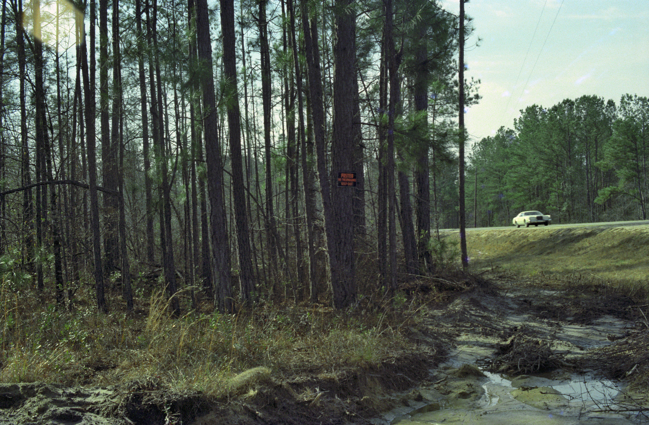
Cross Slough, Oconee River floodplain, River Bend Wildlife Management Area, Laurens County, Georgia 1
C03-Image330

Ella in Alamo - Mar 2012

Mt Vernon city limit US280EB

NW Third Ave, Glenwood building 2

C03-Image345
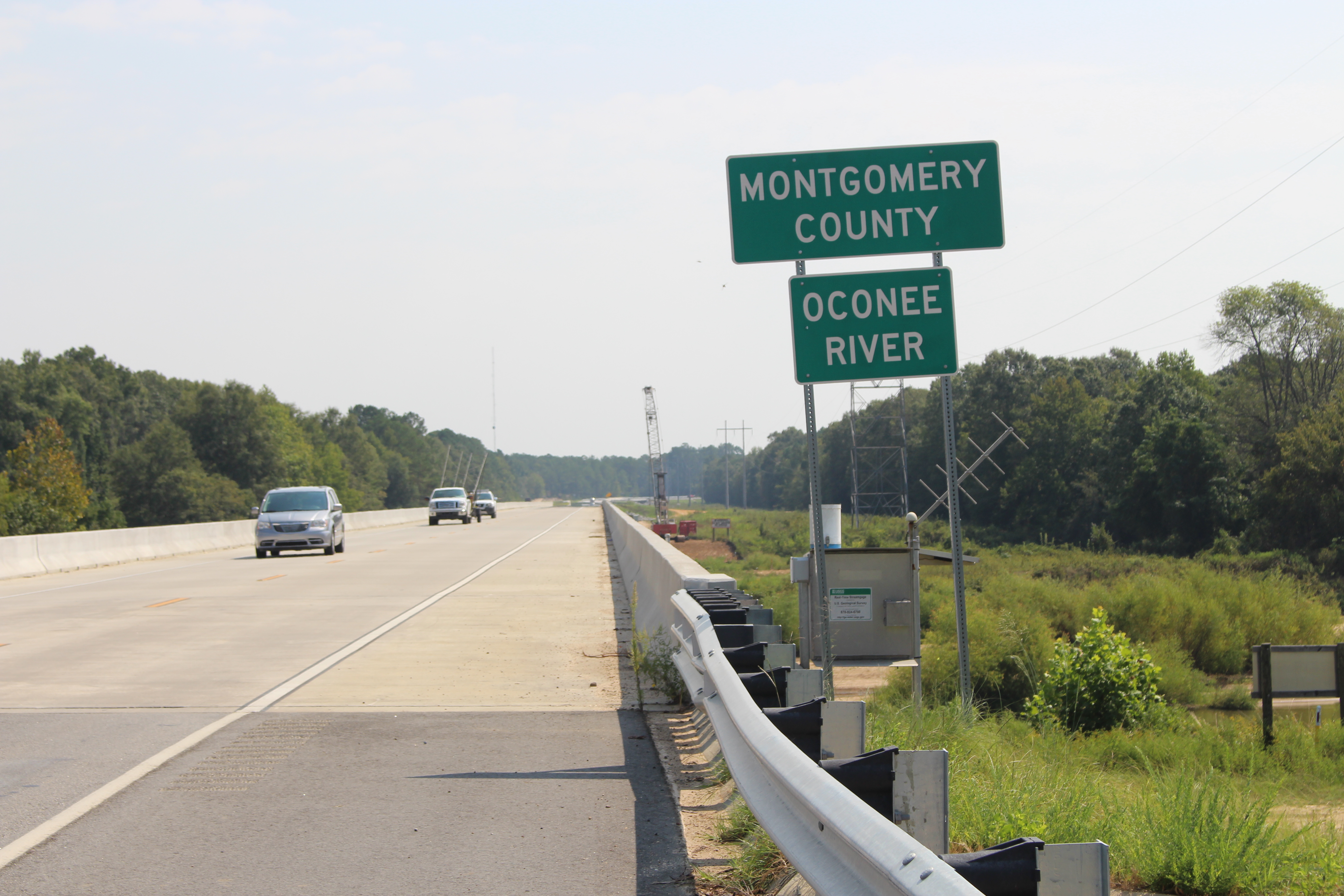
Montgomery County limit US280EB

3rd St SB Railroad Crossing, Glenwood
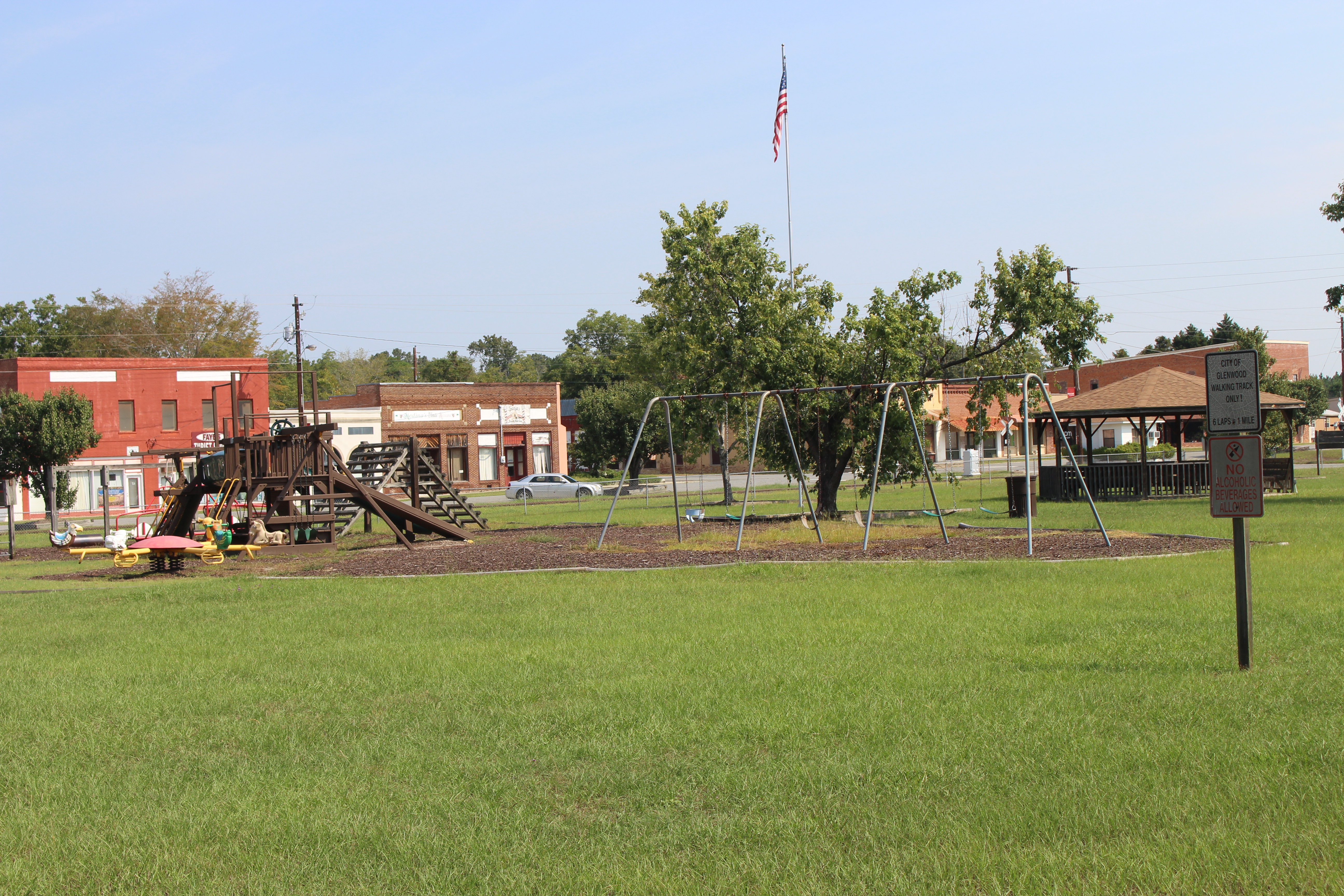
Gerdna M Joiner City Park, Glenwood playground
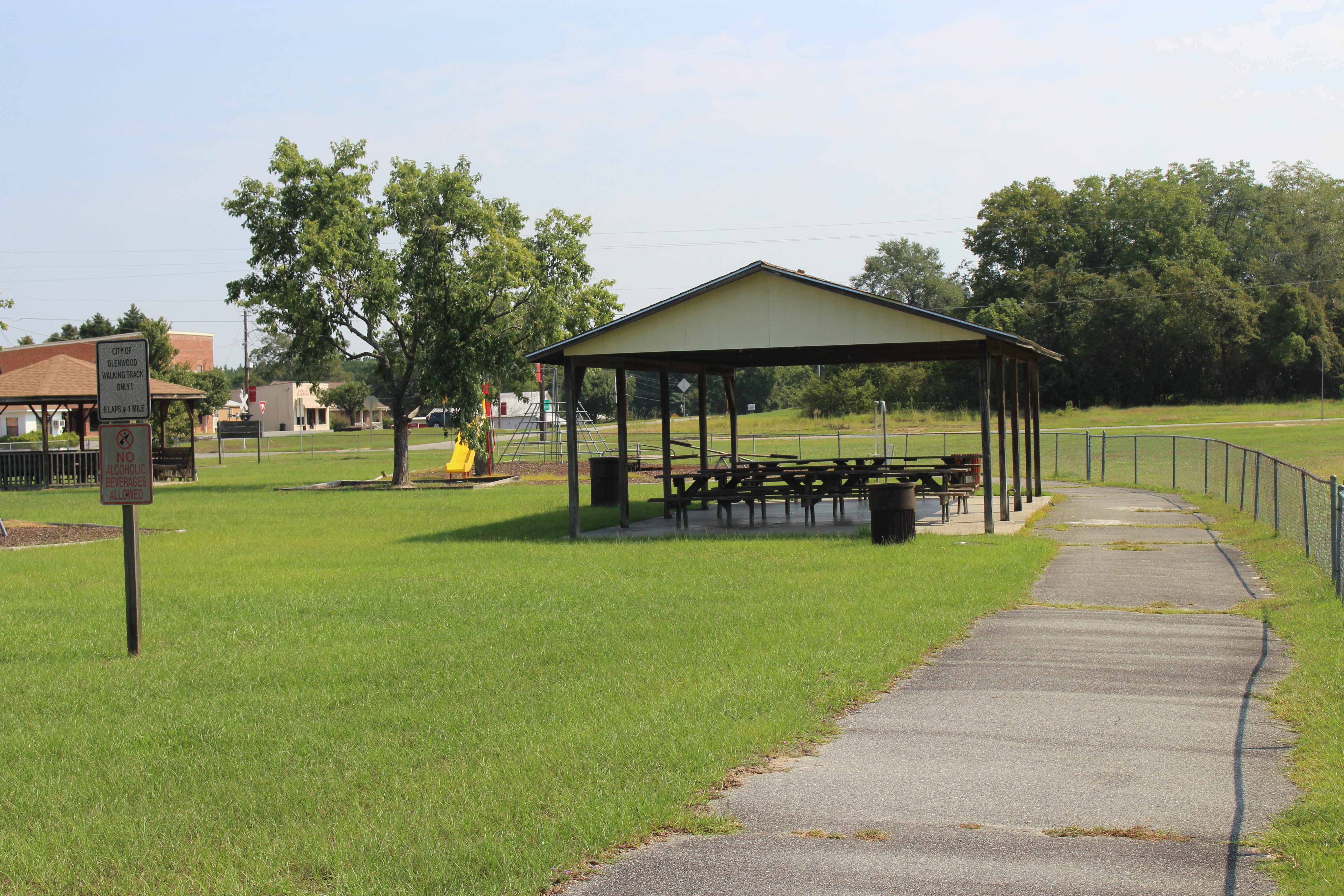
Gerdna M Joiner City Park, Glenwood walking track
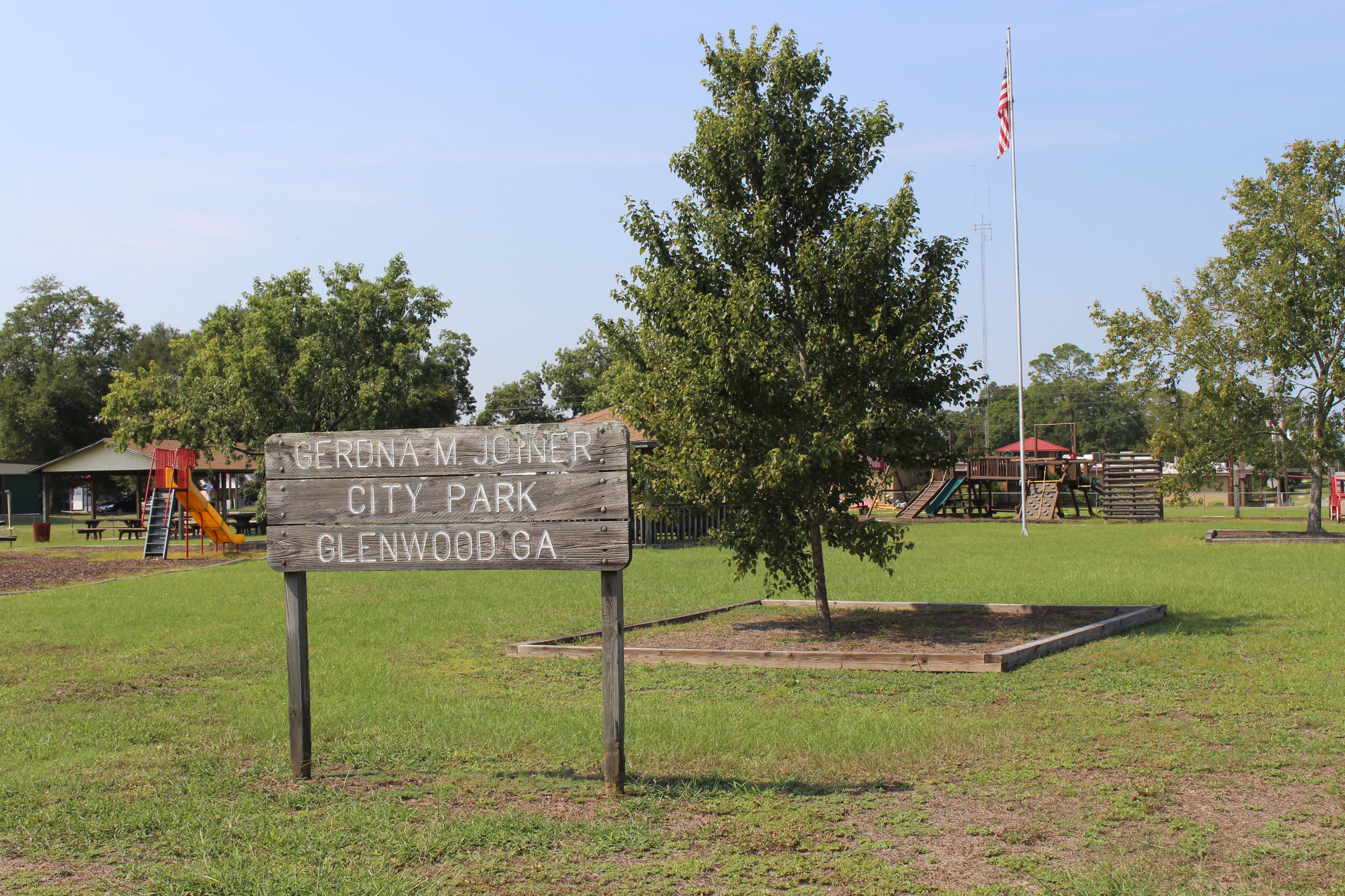
Gerdna M Joiner City Park, Glenwood
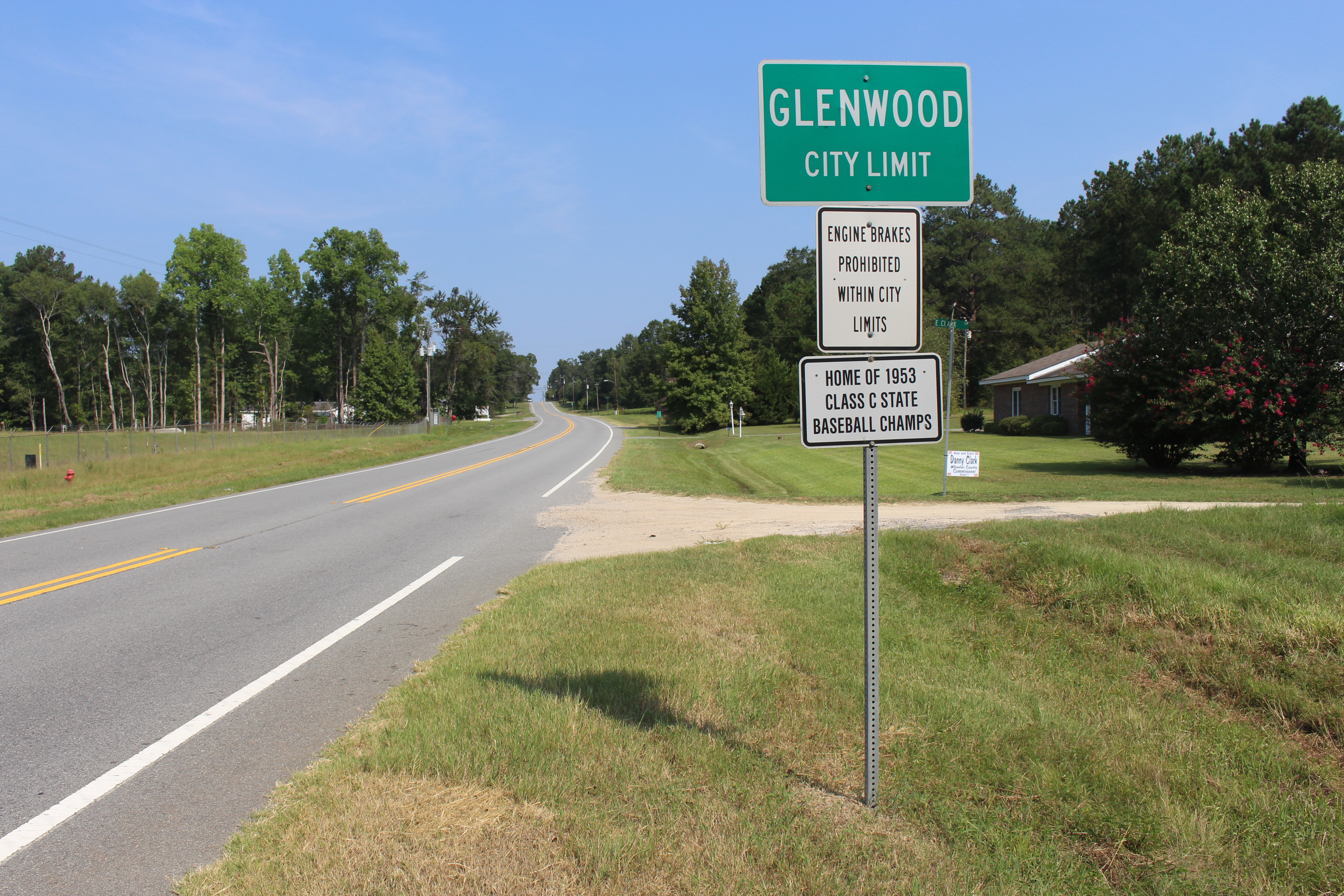
Glenwood City limit GA19NB
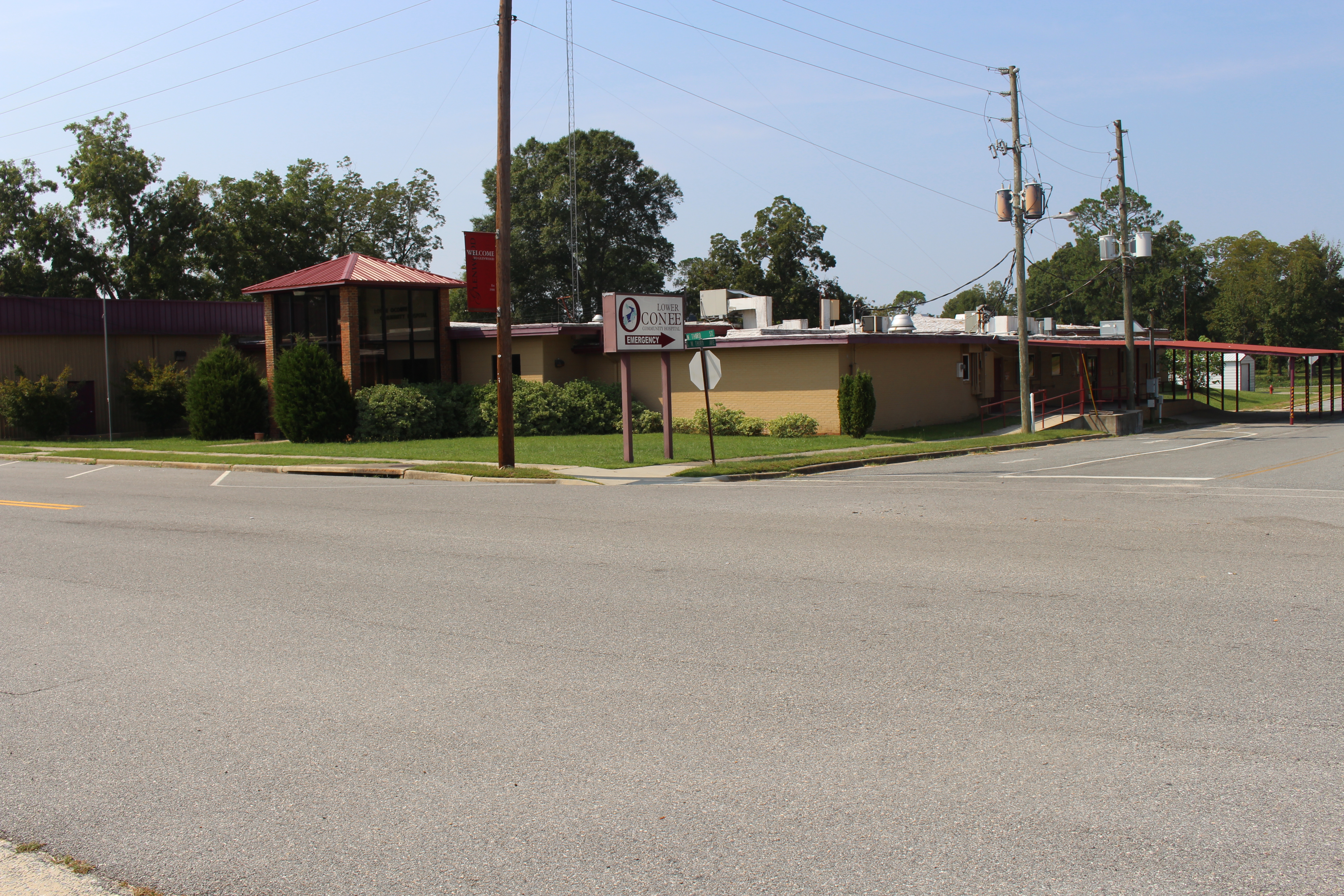
Lower Oconee Community Hospital, Glenwood

NW Third Ave, Glenwood building 1
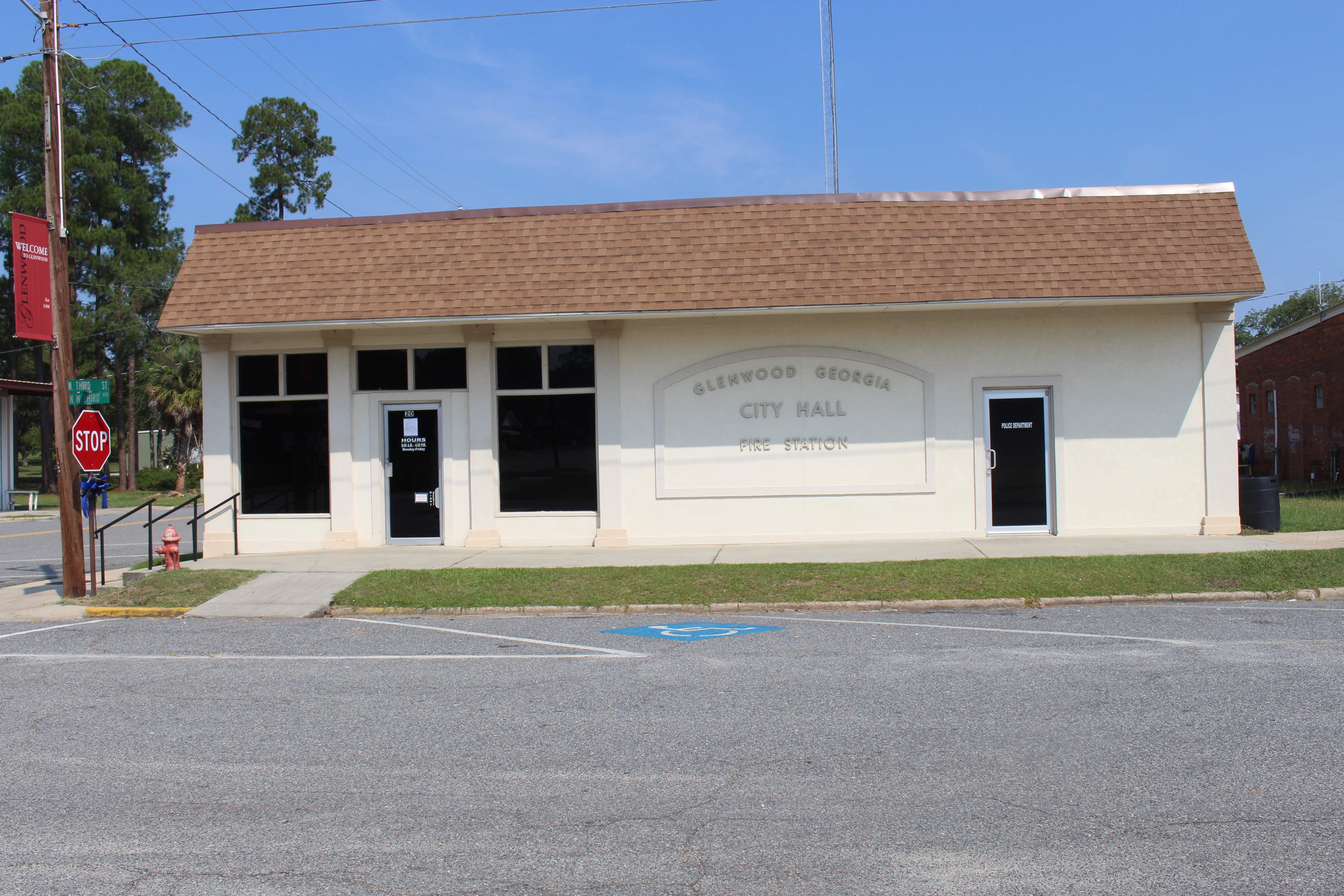
Glenwood City Hall
Topographic Map of 95 Coleman Rd, Glenwood, GA, USA
Find elevation by address:

Places near 95 Coleman Rd, Glenwood, GA, USA:
3089 Anderson Dr
Ochwalkee Creek
12 1st Ave, Alamo, GA, USA
Alamo
Glenwood
Co Rd, Glenwood, GA, USA
GA-46, Soperton, GA, USA
GA-, Dublin, GA, USA
Wheeler County
Georgia
Mount Vernon
1301 Ga-30
US-, Alamo, GA, USA
220 Bay Springs Church Road
118 Gum St
S Railroad St, Ailey, GA, USA
Ailey
Main St, Tarrytown, GA, USA
Tarrytown
Main St, McRae, GA, USA
Recent Searches:
- Elevation of Corso Fratelli Cairoli, 35, Macerata MC, Italy
- Elevation of Tallevast Rd, Sarasota, FL, USA
- Elevation of 4th St E, Sonoma, CA, USA
- Elevation of Black Hollow Rd, Pennsdale, PA, USA
- Elevation of Oakland Ave, Williamsport, PA, USA
- Elevation of Pedrógão Grande, Portugal
- Elevation of Klee Dr, Martinsburg, WV, USA
- Elevation of Via Roma, Pieranica CR, Italy
- Elevation of Tavkvetili Mountain, Georgia
- Elevation of Hartfords Bluff Cir, Mt Pleasant, SC, USA