Elevation of Wheaton Rd, Westmoreland, KS, USA
Location: United States > Kansas > Pottawatomie County > Union >
Longitude: -96.3102049
Latitude: 39.3461631
Elevation: 369m / 1211feet
Barometric Pressure: 0KPa
Related Photos:

The Old Dutch Mill at Wamego

View from inside Toto's Tacoz

2010_0420 2410.. View from the mill

dutch mill 1

Tulip Festival 473

Washed out road

dutch mill 2

2010_0420 2389.. Wet basin
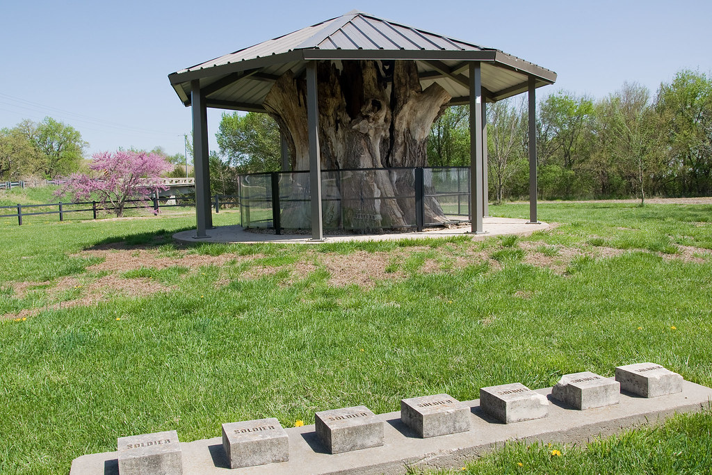
Louis Vieux Elm and Soldiers Memorial

Washed out road
Topographic Map of Wheaton Rd, Westmoreland, KS, USA
Find elevation by address:

Places near Wheaton Rd, Westmoreland, KS, USA:
17455 Pauling Run Rd
Louisville
Onaga Rd, Wamego, KS, USA
113 Hickory St
Center
Louisville
Mt Calvary Lutheran Church
1305 18th St
2005 Henry Dr
2200 Country Club Dr
KS-99, Wamego, KS, USA
Wamego
Wamego
Belvue
23705 Oregon Trail Rd
Belvue
Broadway St, Belvue, KS, USA
Aiken Switch Rd, Emmett, KS, USA
Westar - Jeffrey Energy Center
St. Clere
Recent Searches:
- Elevation of Pasing, Munich, Bavaria, 81241, Germany
- Elevation of 24, Auburn Bay Crescent SE, Auburn Bay, Calgary, Alberta, T3M 0A6, Canada
- Elevation of Denver, 2314, Arapahoe Street, Five Points, Denver, Colorado, 80205, USA
- Elevation of Community of the Beatitudes, 2924, West 43rd Avenue, Sunnyside, Denver, Colorado, 80211, USA
- Elevation map of Litang County, Sichuan, China
- Elevation map of Madoi County, Qinghai, China
- Elevation of 3314, Ohio State Route 114, Payne, Paulding County, Ohio, 45880, USA
- Elevation of Sarahills Drive, Saratoga, Santa Clara County, California, 95070, USA
- Elevation of Town of Bombay, Franklin County, New York, USA
- Elevation of 9, Convent Lane, Center Moriches, Suffolk County, New York, 11934, USA
- Elevation of Saint Angelas Convent, 9, Convent Lane, Center Moriches, Suffolk County, New York, 11934, USA
- Elevation of 131st Street Southwest, Mukilteo, Snohomish County, Washington, 98275, USA
- Elevation of 304, Harrison Road, Naples, Cumberland County, Maine, 04055, USA
- Elevation of 2362, Timber Ridge Road, Harrisburg, Cabarrus County, North Carolina, 28075, USA
- Elevation of Ridge Road, Marshalltown, Marshall County, Iowa, 50158, USA
- Elevation of 2459, Misty Shadows Drive, Pigeon Forge, Sevier County, Tennessee, 37862, USA
- Elevation of 8043, Brightwater Way, Spring Hill, Williamson County, Tennessee, 37179, USA
- Elevation of Starkweather Road, San Luis, Costilla County, Colorado, 81152, USA
- Elevation of 5277, Woodside Drive, Baton Rouge, East Baton Rouge Parish, Louisiana, 70808, USA
- Elevation of 1139, Curtin Street, Shepherd Park Plaza, Houston, Harris County, Texas, 77018, USA