Elevation of Wharton Township, PA, USA
Location: United States > Pennsylvania > Potter County >
Longitude: -78.019729
Latitude: 41.5317524
Elevation: 336m / 1102feet
Barometric Pressure: 97KPa
Elevation Map:
Satellite Map:
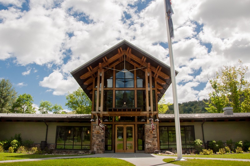
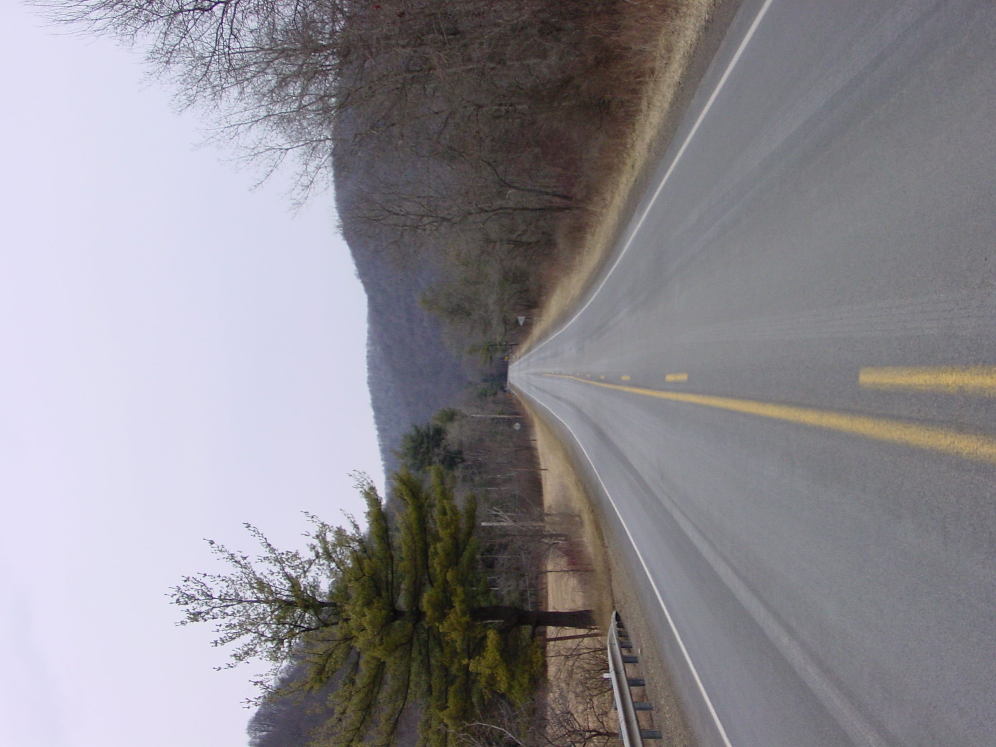
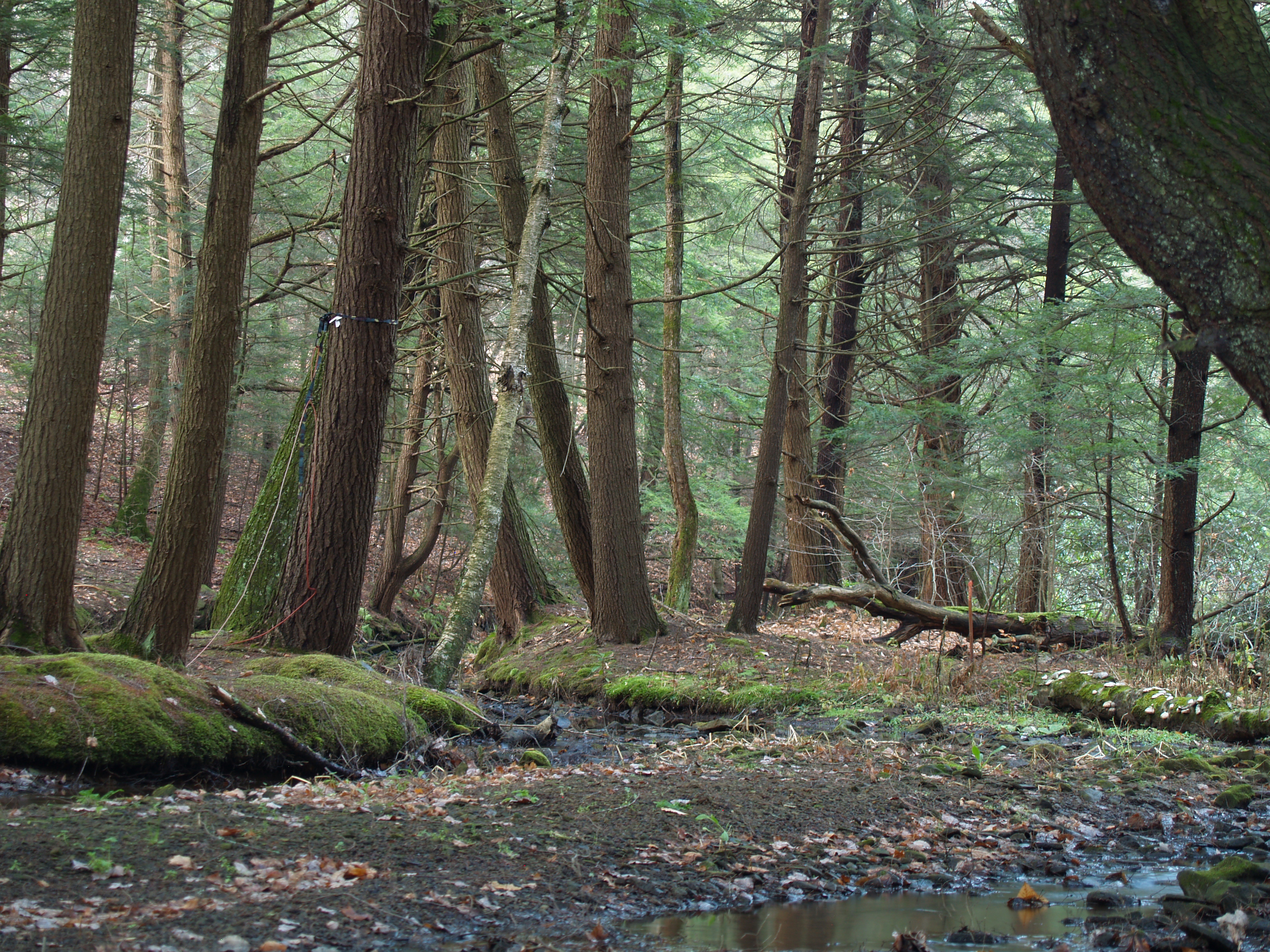
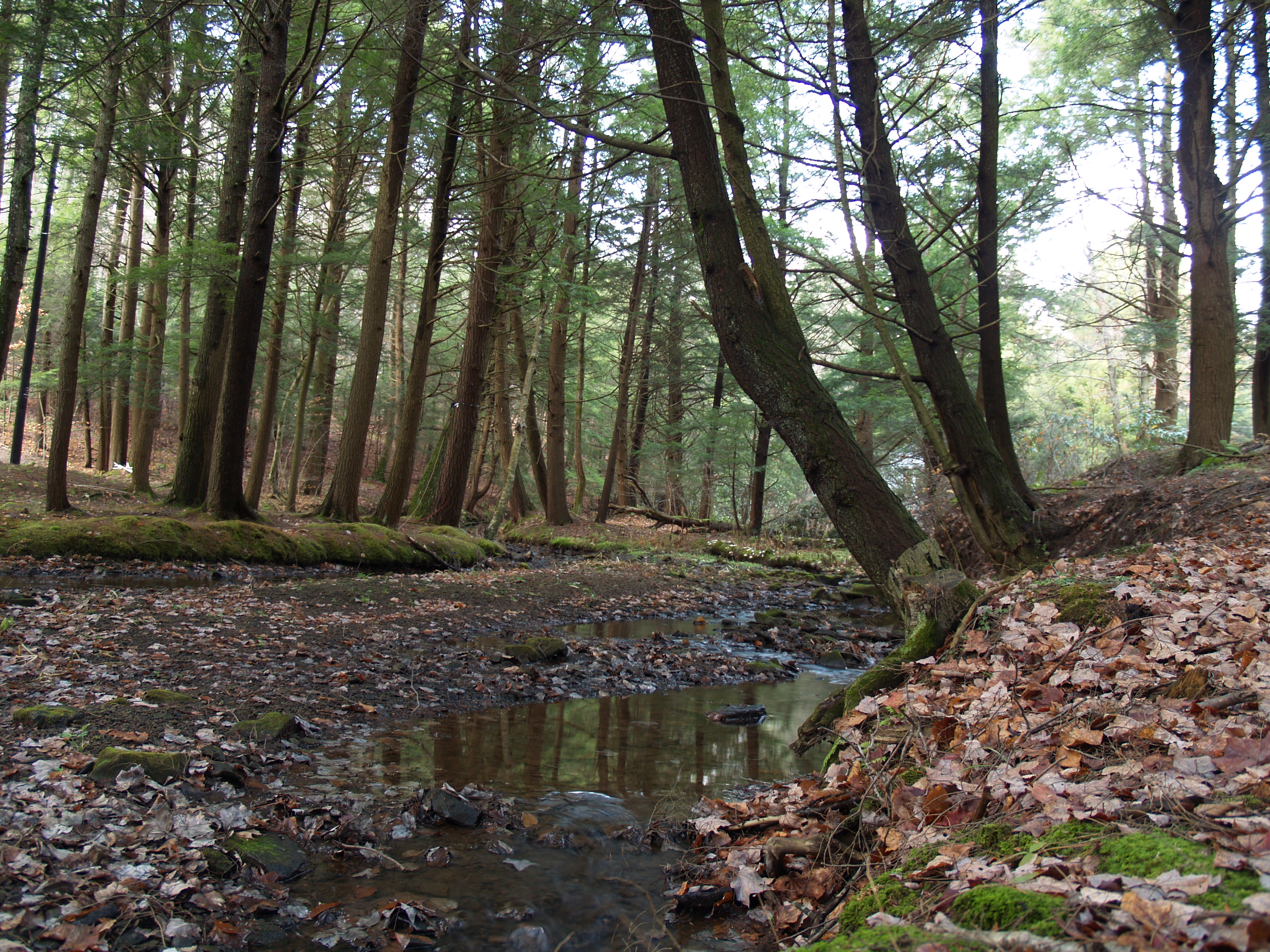
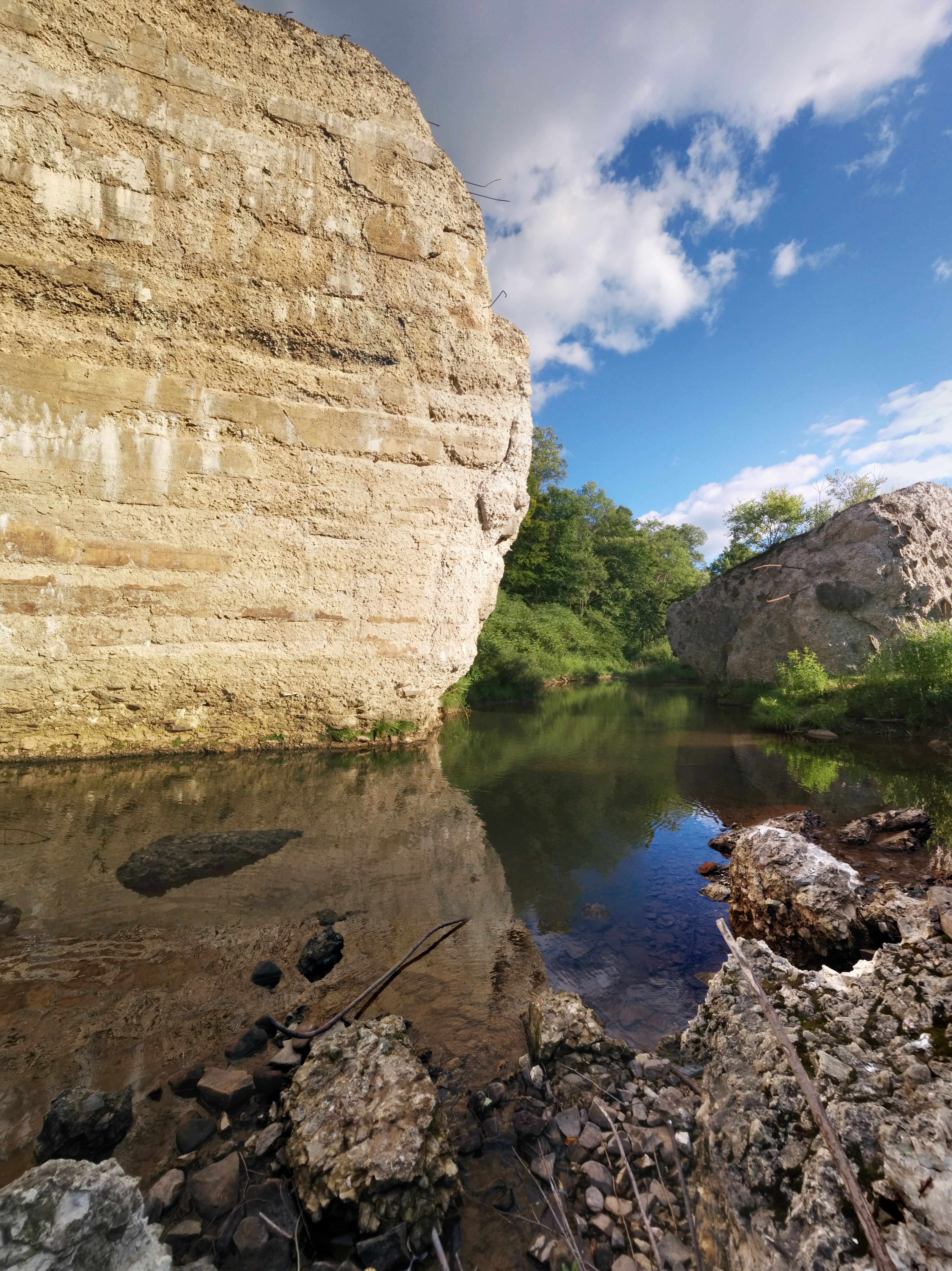
Related Photos:
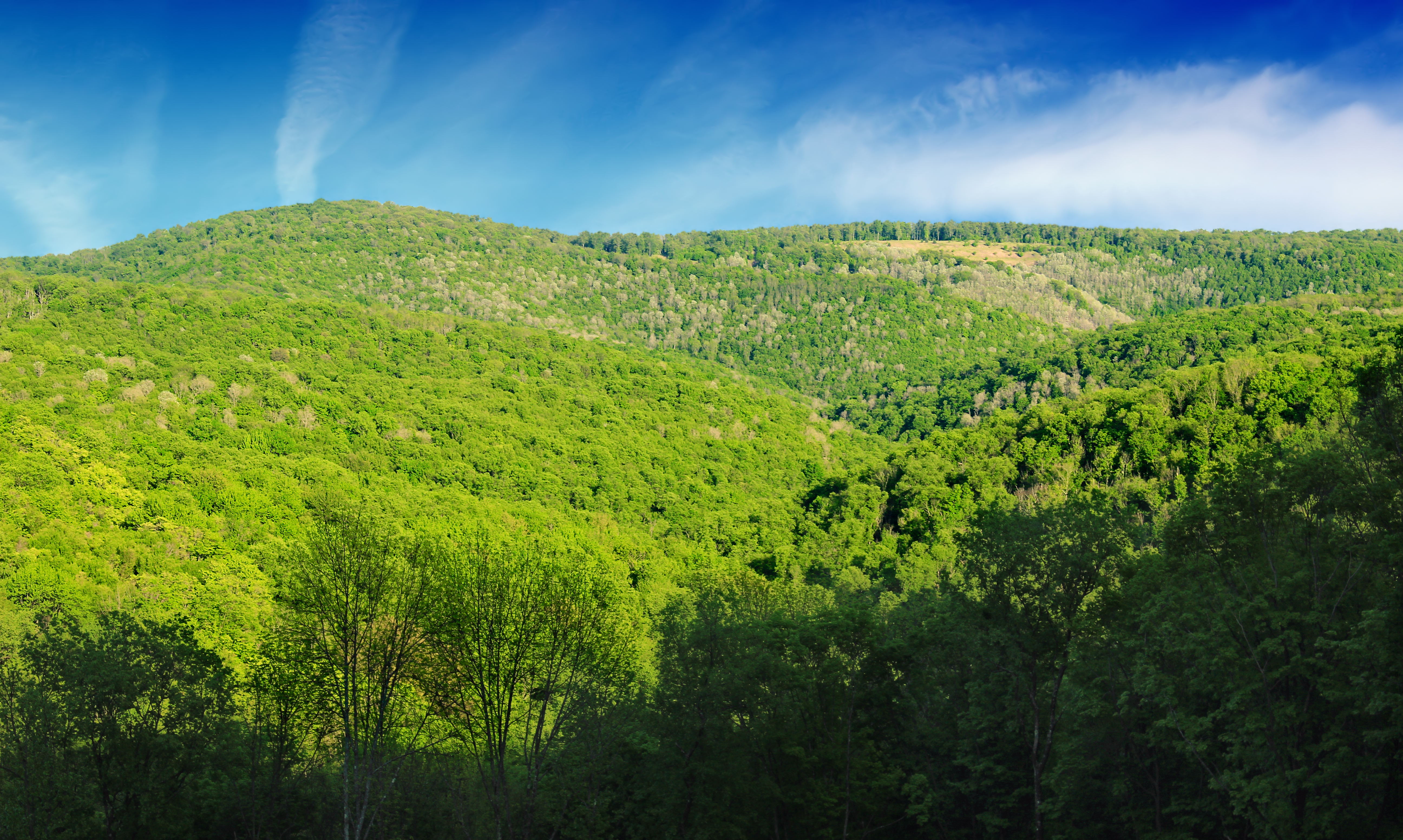
Hammersley Vista
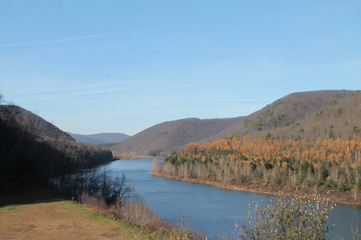
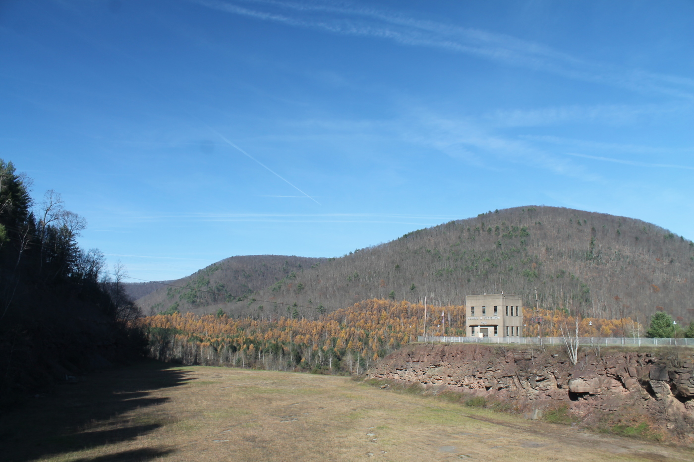
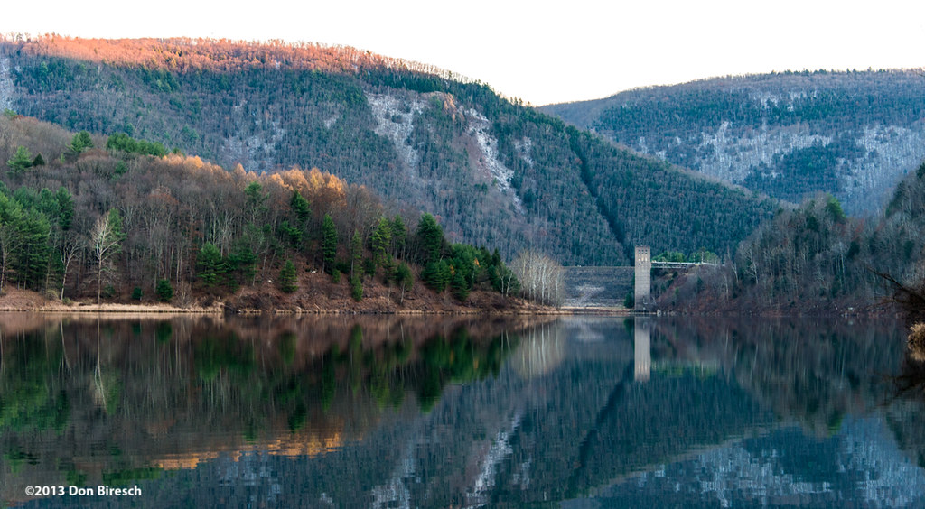
View of Stevenson Reservoir from Dam

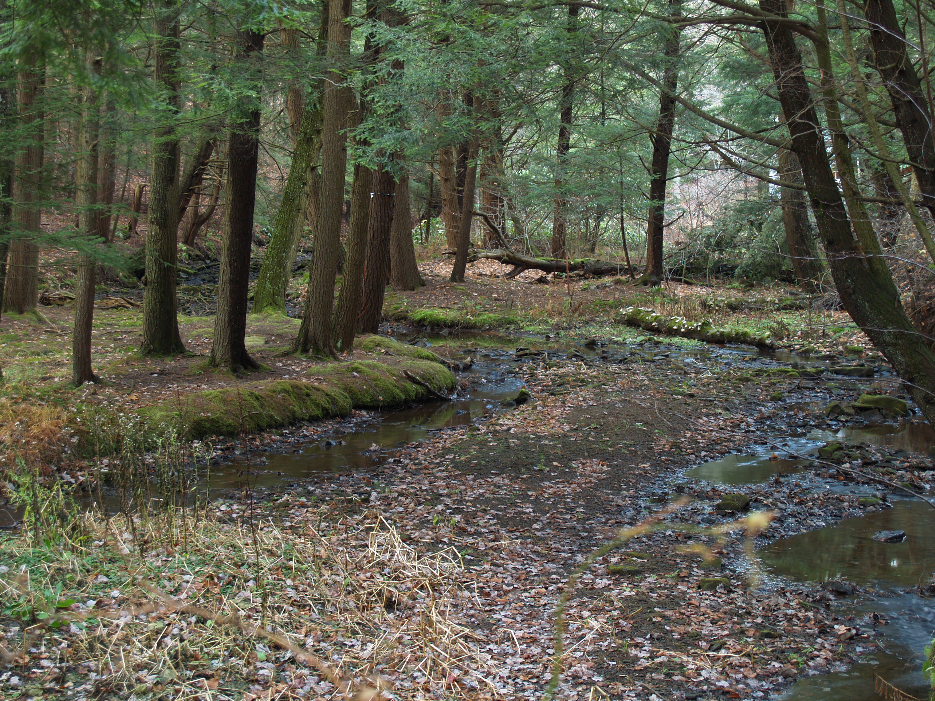
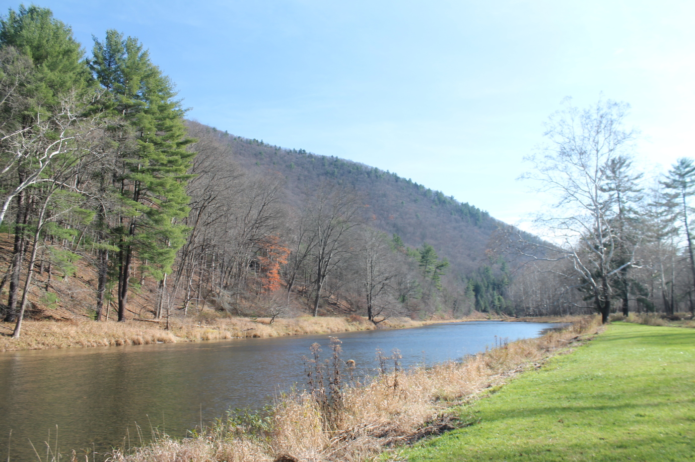
Another View of Rattlesnake Run
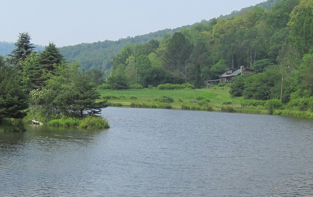
Lake View 1
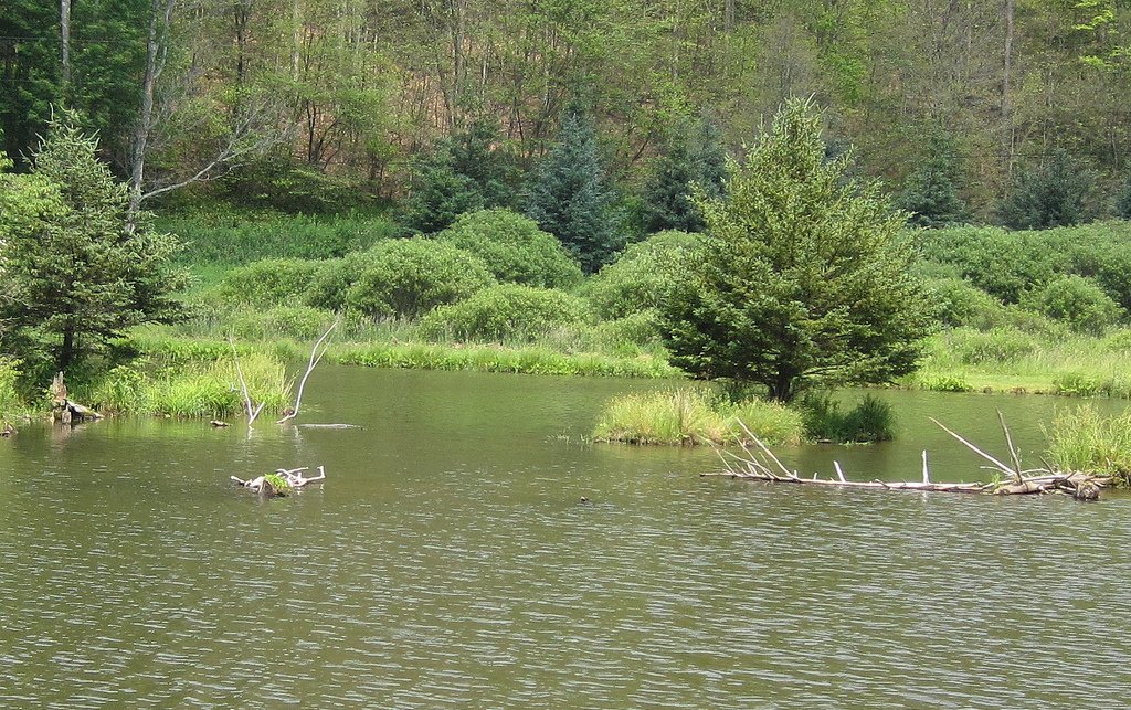
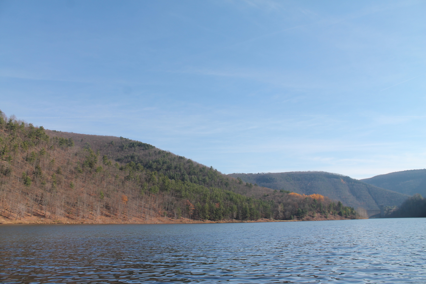
Islands in the Lake
Sinnemahoning State Park
DSCS702292.JPG
Fenn Recipe 023
Fenn Recipe 024
Late Summer Porch Shot #1723
Fenn Recipe 026
Fenn Recipe 012
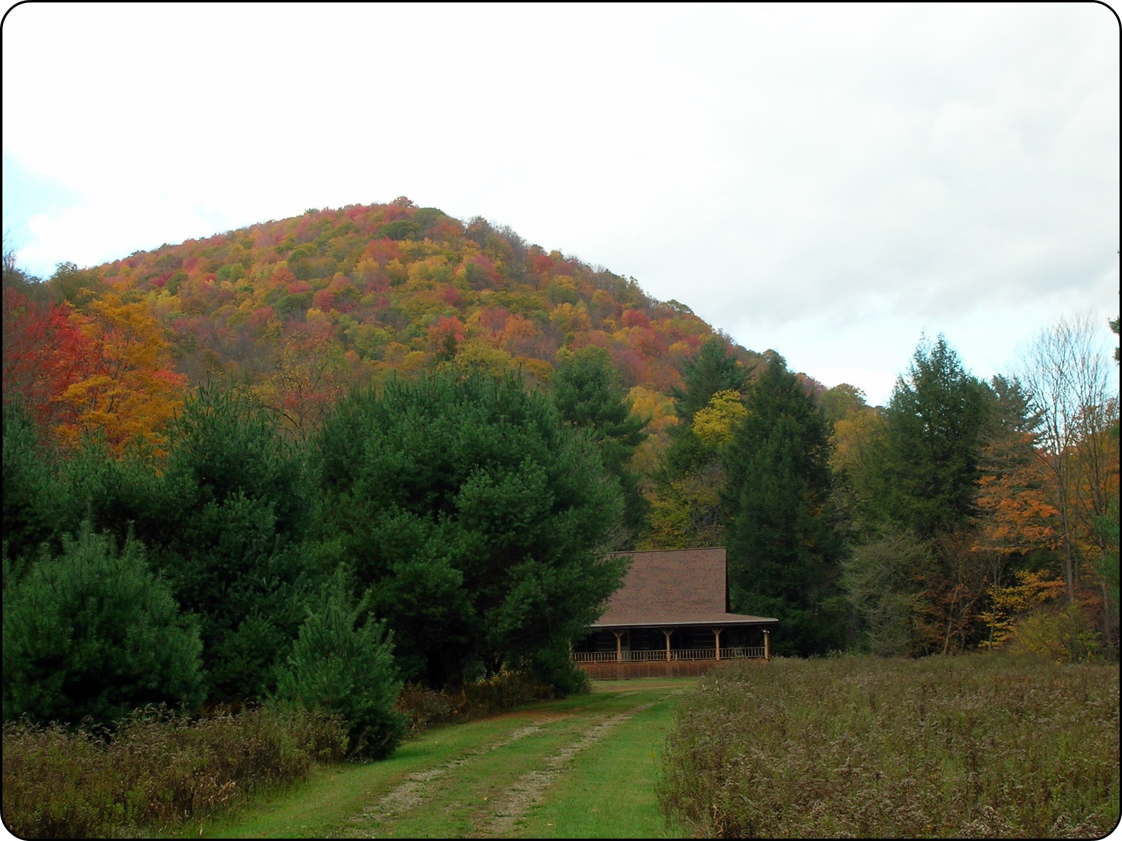
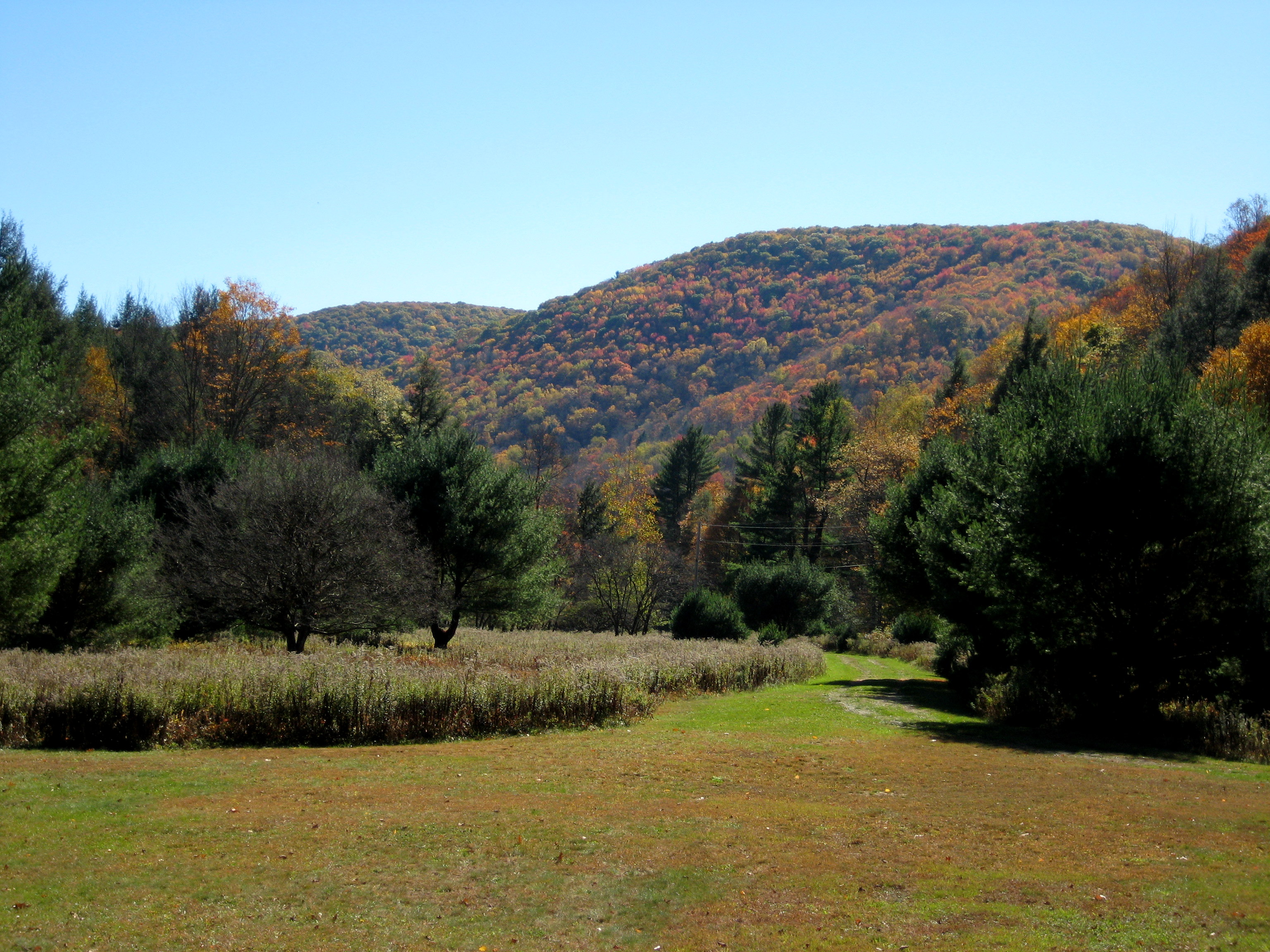
Camp in Autumn
The Flood Spillway
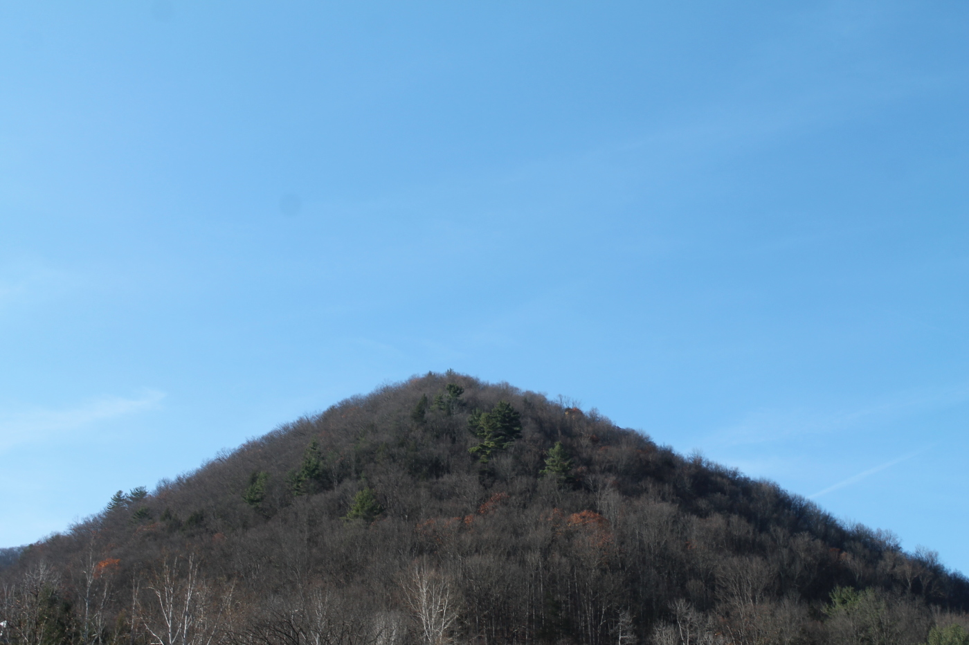
Peak Along Reservior
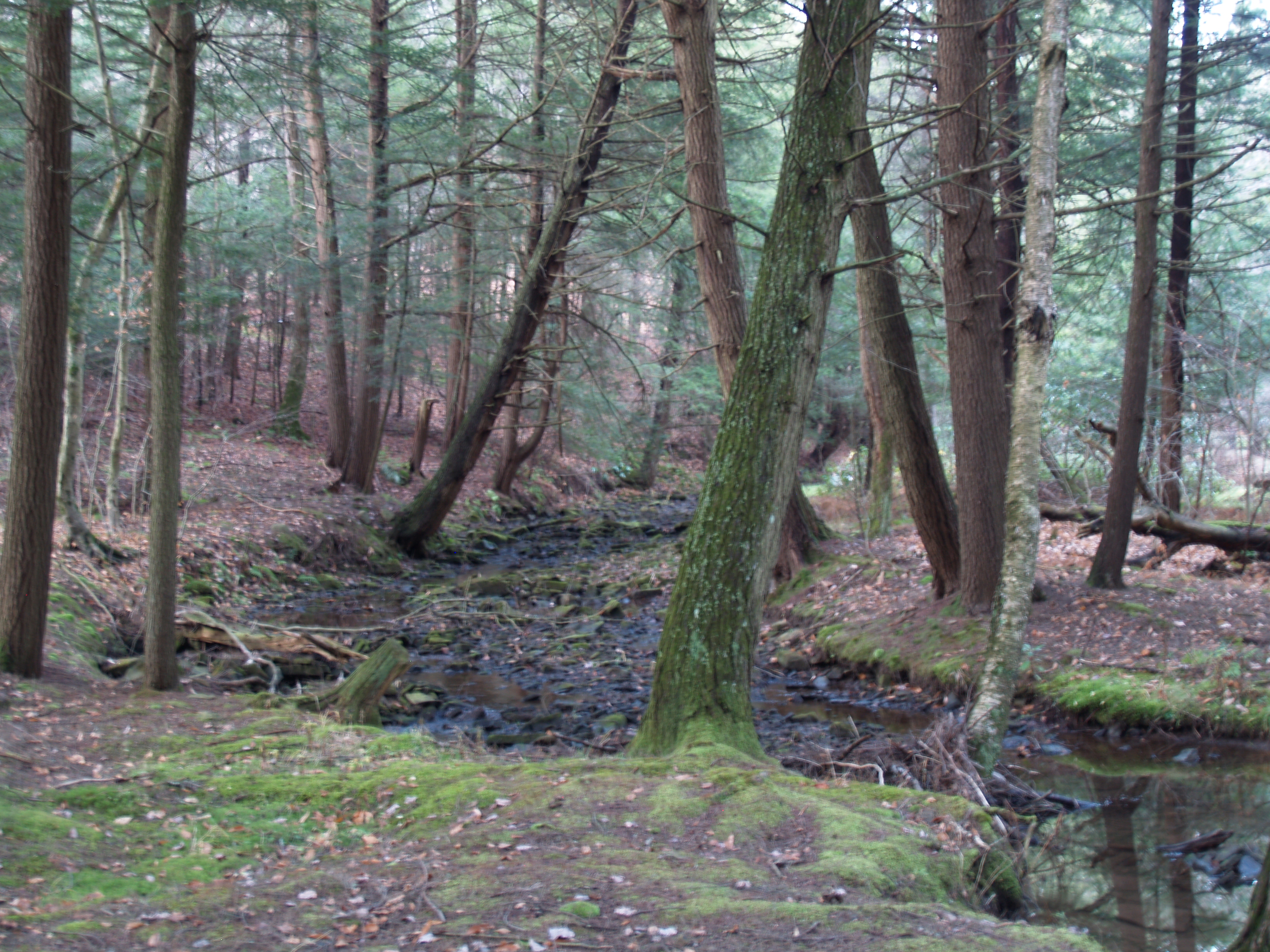
In the Park Along Rattlesnake Run
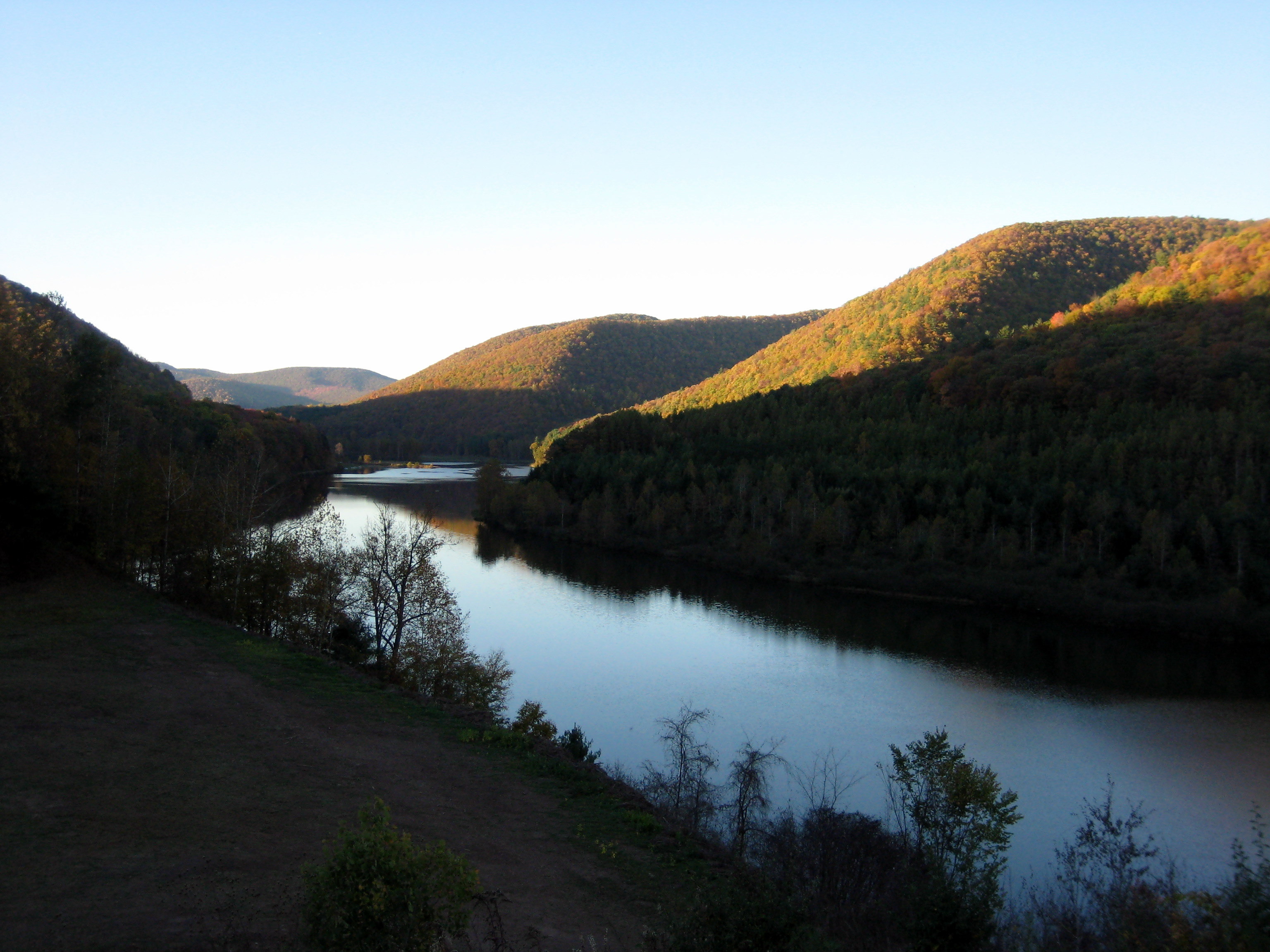
Sinnemahoning Valley
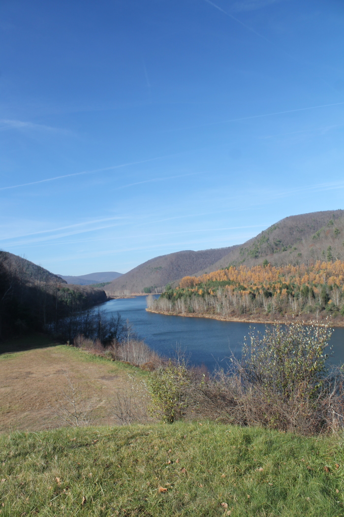
Sinnemahoning Reservior

sunset!
sinnemahoning state park-33
Pretty Valley
PB090071.jpg

PB090070.jpg
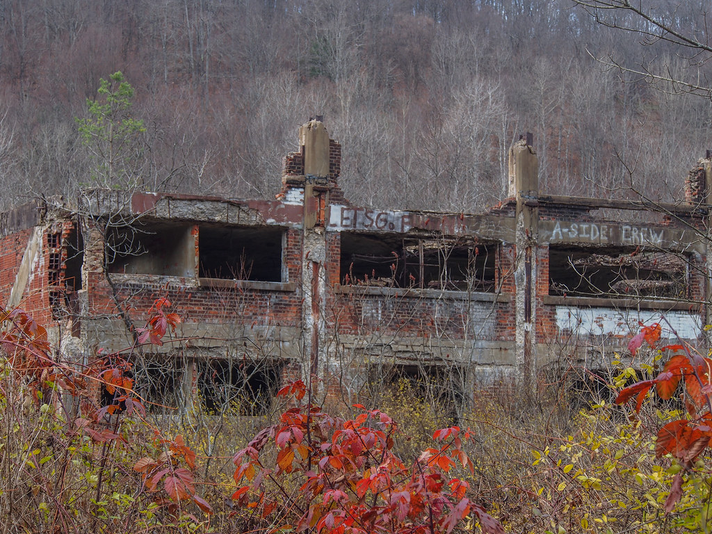
Austin Dam

PB090061.jpg
Topographic Map of Wharton Township, PA, USA
Find elevation by address:

Places in Wharton Township, PA, USA:
Places near Wharton Township, PA, USA:
Austin
44 Prouty Rd
E Fork Rd, Austin, PA, USA
E Fork Rd, Austin, PA, USA
39 Lou McCoys Ln, Renovo, PA, USA
Cameron County
Homer
Pioneer Drive
55 Black Bear Ln
338 S Woods Rd
340 S Woods Rd
Keating Township
345 Meadow Rd
Summit Township
815 Hillcrest Dr
55 S Pine St
Emporium
Sinnamahoning
Driftwood
Potter County
Recent Searches:
- Elevation of Corso Fratelli Cairoli, 35, Macerata MC, Italy
- Elevation of Tallevast Rd, Sarasota, FL, USA
- Elevation of 4th St E, Sonoma, CA, USA
- Elevation of Black Hollow Rd, Pennsdale, PA, USA
- Elevation of Oakland Ave, Williamsport, PA, USA
- Elevation of Pedrógão Grande, Portugal
- Elevation of Klee Dr, Martinsburg, WV, USA
- Elevation of Via Roma, Pieranica CR, Italy
- Elevation of Tavkvetili Mountain, Georgia
- Elevation of Hartfords Bluff Cir, Mt Pleasant, SC, USA