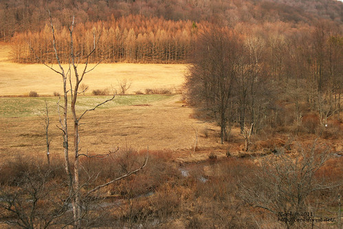
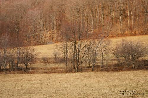
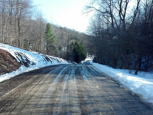
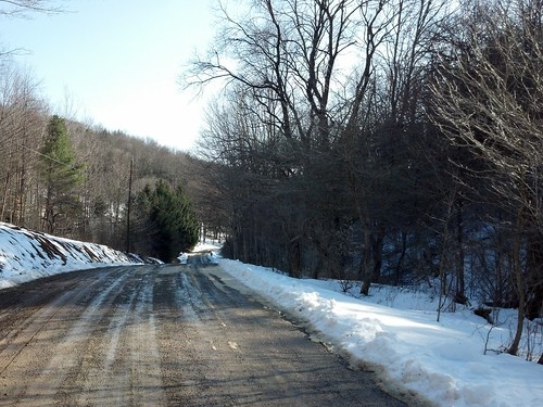
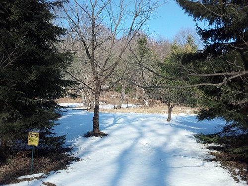
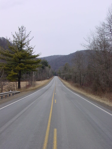
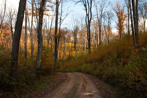
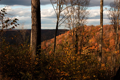
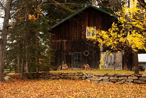
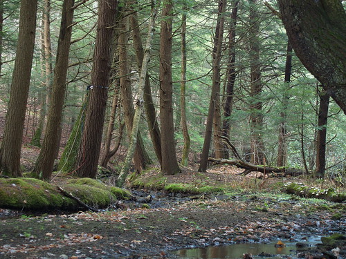
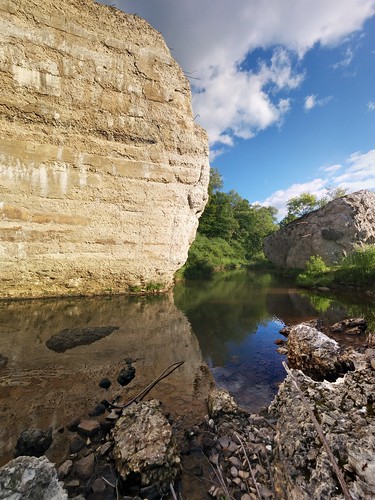
Elevation of Austin, PA, USA
Location: United States > Pennsylvania > Potter County >
Longitude: -78.091394
Latitude: 41.6311758
Elevation: 410m / 1345feet
Barometric Pressure: 96KPa
Related Photos:
Topographic Map of Austin, PA, USA
Find elevation by address:

Places near Austin, PA, USA:
55 Black Bear Ln
Keating Township
Pioneer Drive
338 S Woods Rd
340 S Woods Rd
Homer
Wharton Township
44 Prouty Rd
Coudersport Police Department
Coudersport
141 Academy Hill Rd
345 Meadow Rd
815 Hillcrest Dr
417 E 2nd St
55 S Pine St
Emporium
44 Cherry Springs Rd
E Fork Rd, Austin, PA, USA
Summit Township
E Fork Rd, Austin, PA, USA
Recent Searches:
- Elevation of Corso Fratelli Cairoli, 35, Macerata MC, Italy
- Elevation of Tallevast Rd, Sarasota, FL, USA
- Elevation of 4th St E, Sonoma, CA, USA
- Elevation of Black Hollow Rd, Pennsdale, PA, USA
- Elevation of Oakland Ave, Williamsport, PA, USA
- Elevation of Pedrógão Grande, Portugal
- Elevation of Klee Dr, Martinsburg, WV, USA
- Elevation of Via Roma, Pieranica CR, Italy
- Elevation of Tavkvetili Mountain, Georgia
- Elevation of Hartfords Bluff Cir, Mt Pleasant, SC, USA
