Elevation of Westview Crossing, Grantsville, MD, USA
Location: United States > Maryland > Garrett County > 3, Grantsville > Grantsville >
Longitude: -79.080229
Latitude: 39.7021289
Elevation: 830m / 2723feet
Barometric Pressure: 92KPa
Elevation Map:
Satellite Map:
Related Photos:

Great Spangled Fritillary - Speyeria cybele

Frostburg, Maryland - Then & Now
Salisbury View
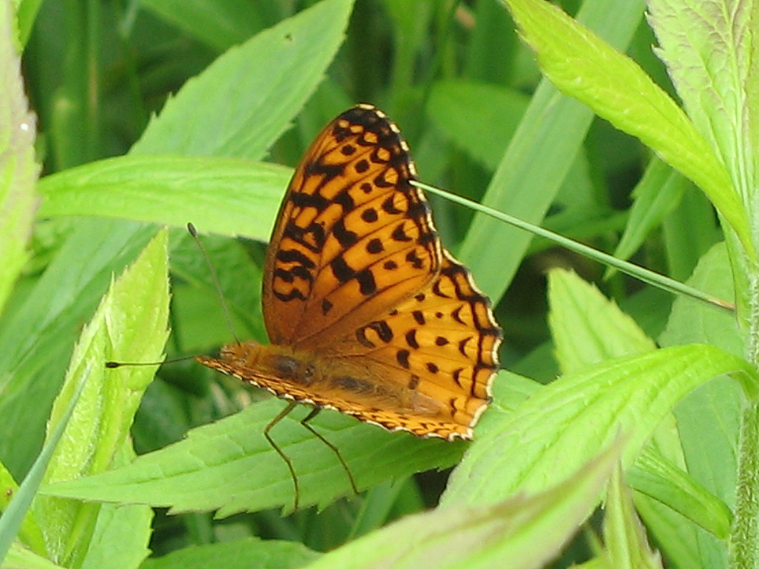
Great Spangled Fritillary - Speyeria cybele
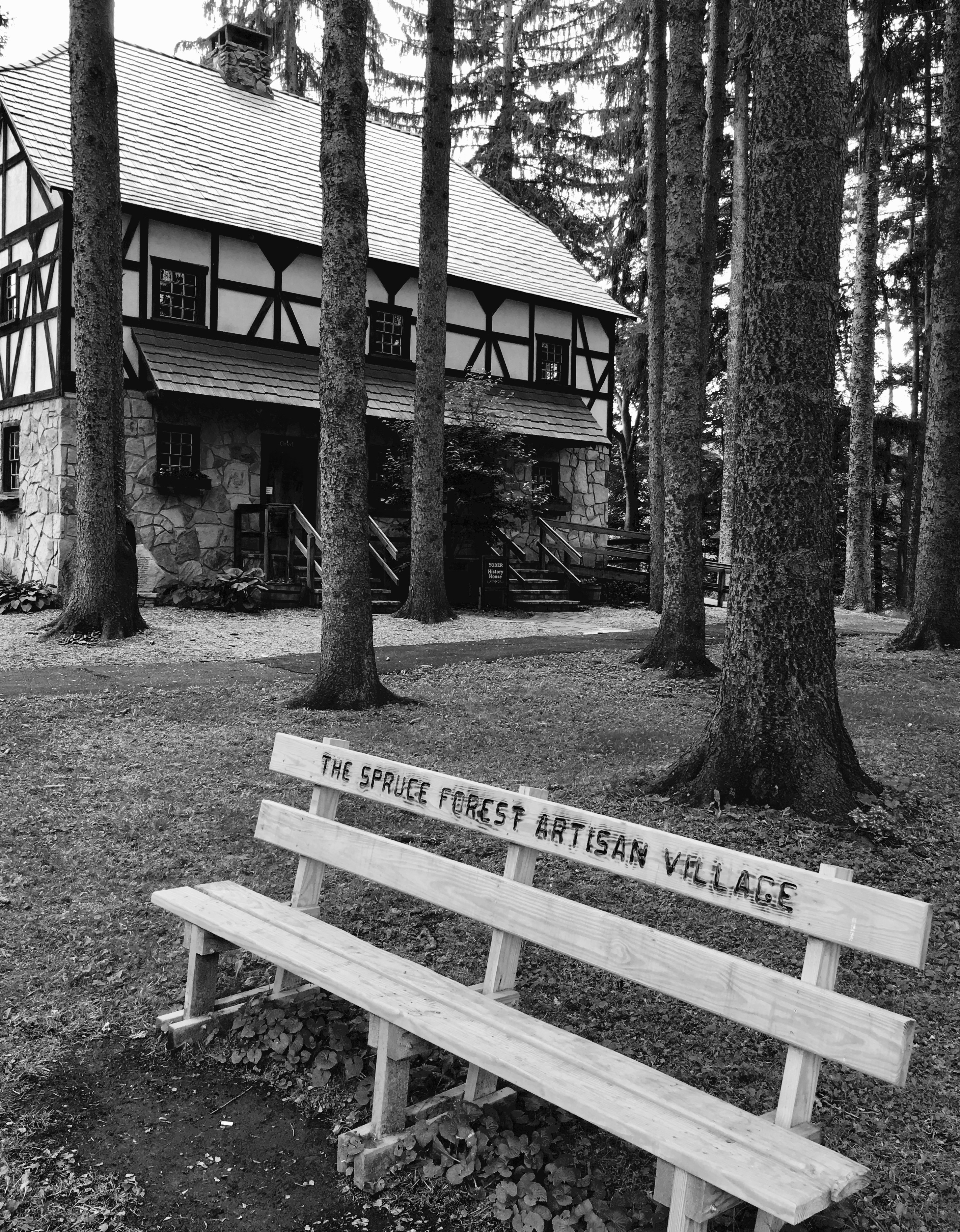
Spruce Forest Artisan Village

2017 12-03 1408.7 WMSR GP30-501 W/B CCE Frostburg, MD

2017 12-03 1408 WMSR GP30-501 W/B CCE Frostburg, MD

Sedge Wren

Q26114 - Meyersdale, PA

Yellow-collared Scape Moth - Cisseps fulvicollis

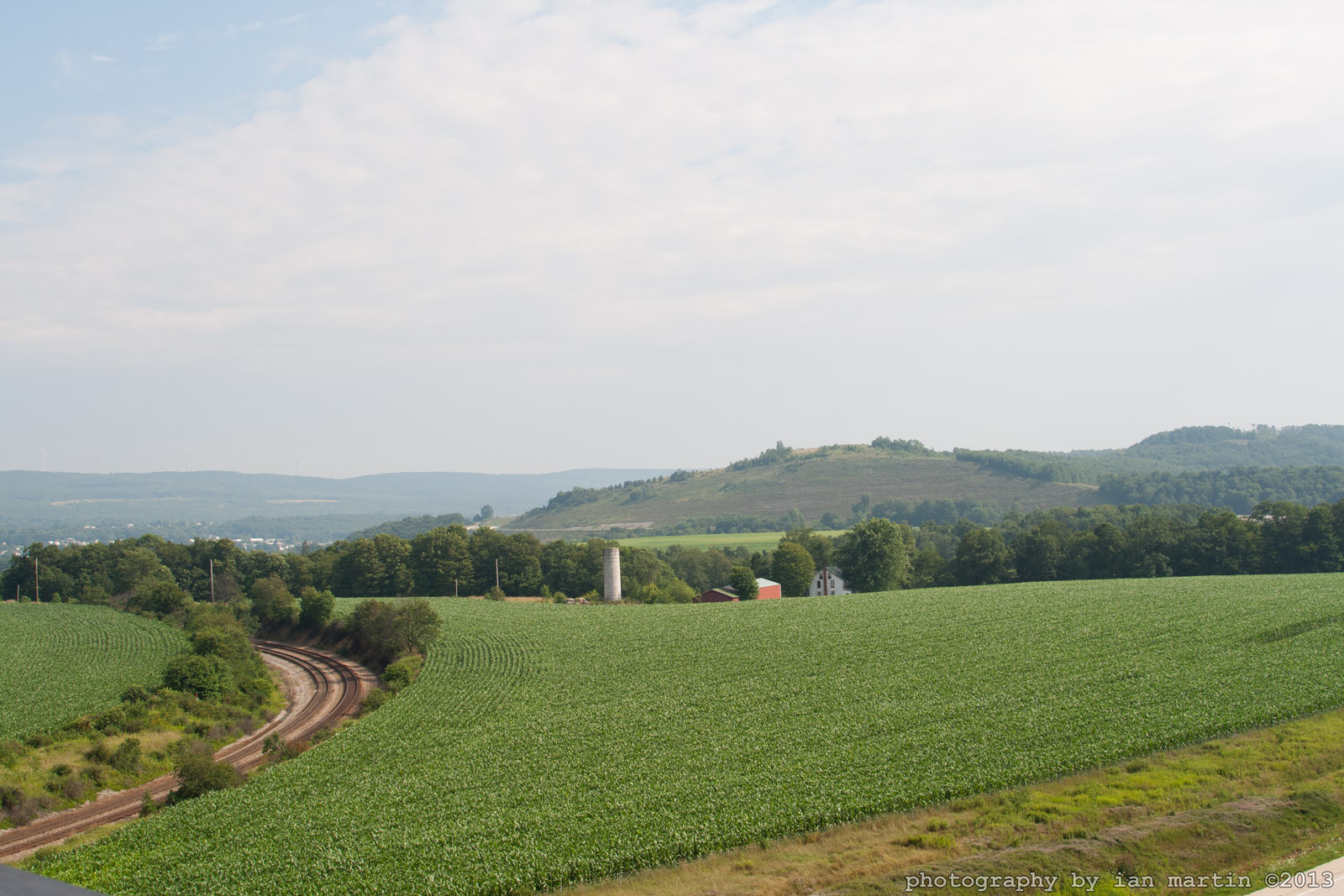
Our View

Thomas Johnson Farmhouse
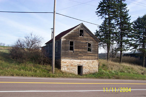
Thomas Johnson Shed

Our View

Westward View of the Johnson Farm Buildings

Salisbury Viaduct, Great Allegheny Passage Trail

Old Johnson Barn

Eastern Continental Divide
Salisbury Viaduct, Great Allegheny Passage Tail

View from Salisbury Viaduct

View from Salisbury Viaduct

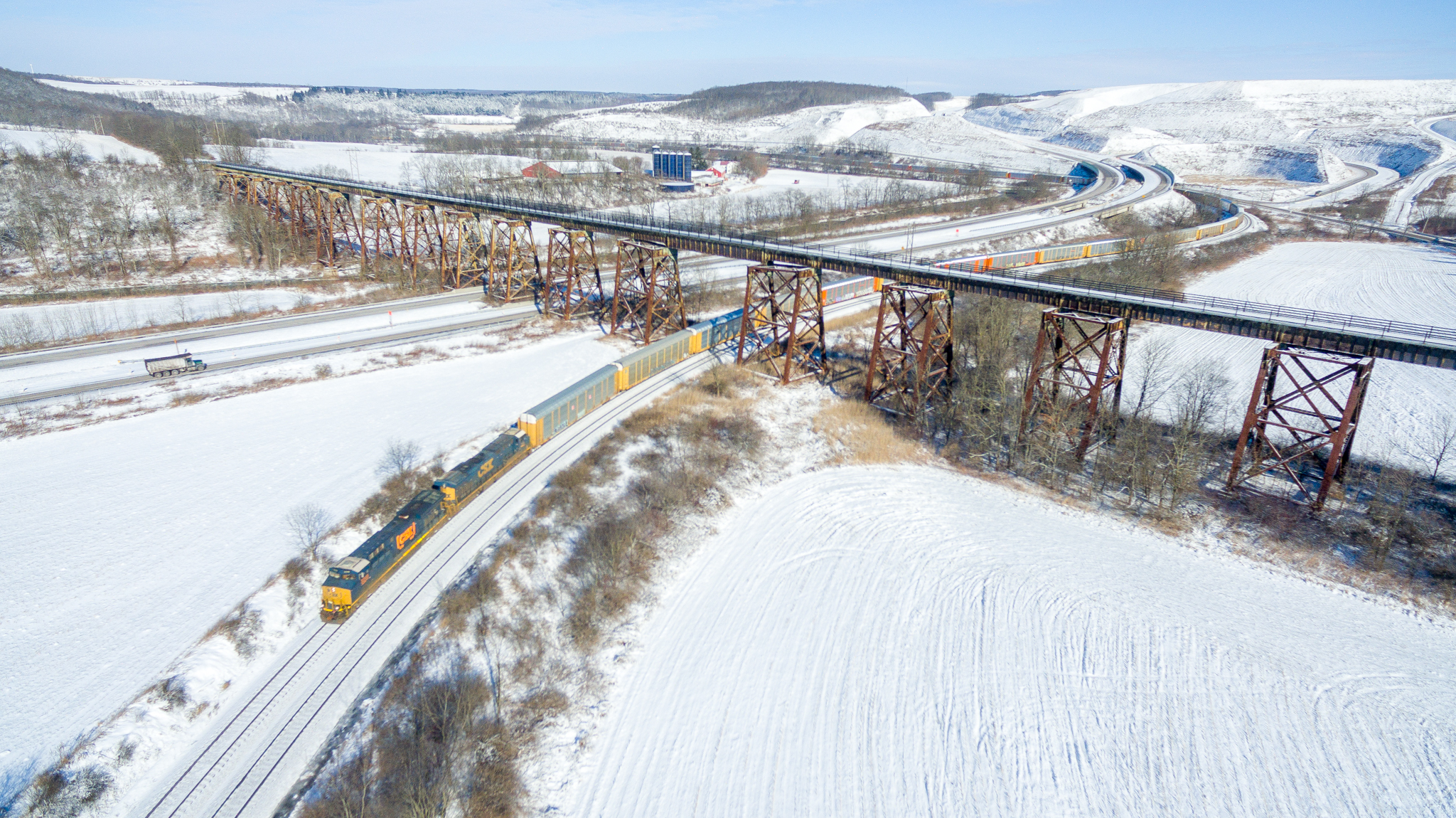
Western Maryland Keystone Viaduct

Western Maryland Keystone Viaduct Westbound
Salisbury Viaduct

Western Maryland Salisbury Viaduct

Sand Patch Grade

B&O and the WM

Sand Patch Grade

an autumn morning

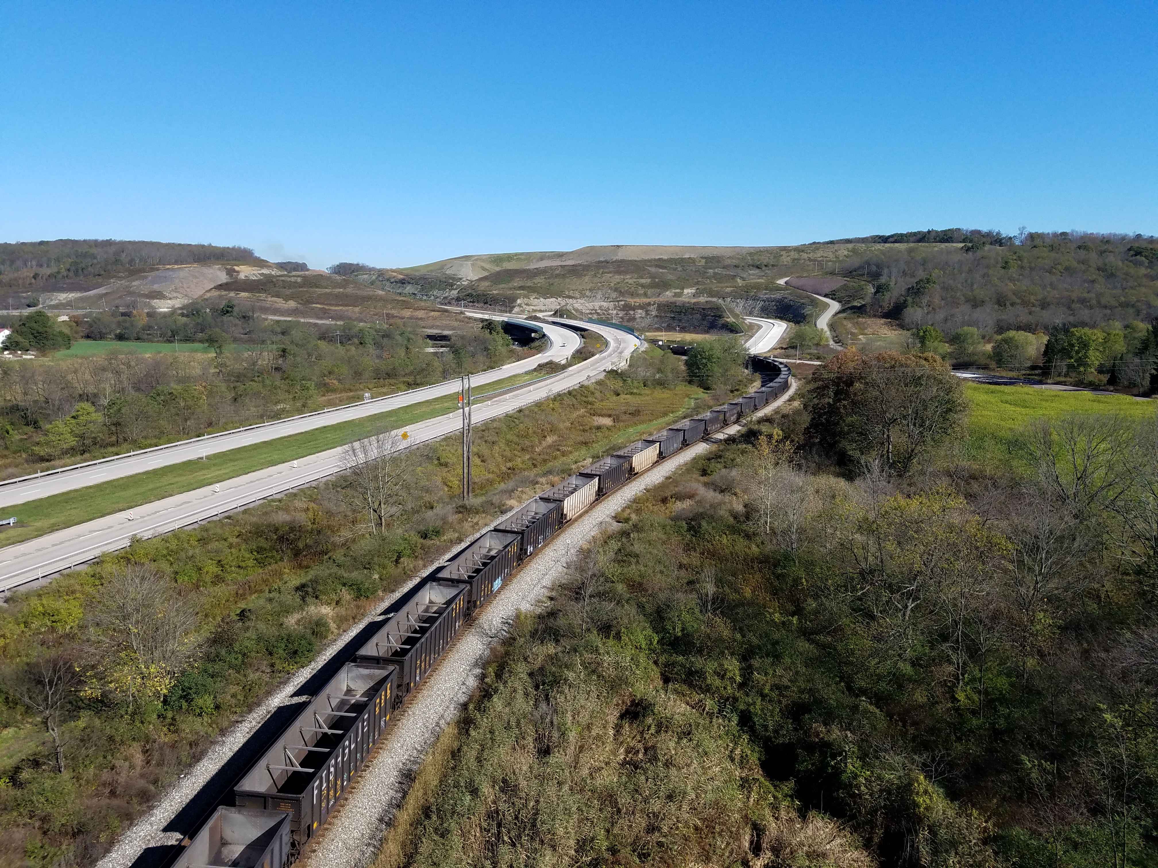
CSX 6403 and 2229

Ark Under Construction

God's Ark
Savage Mountain B-52 Broken Arrow Crash Site

CSX 9045 and 7748 (2)

CSX 9045 and 7748 (1)
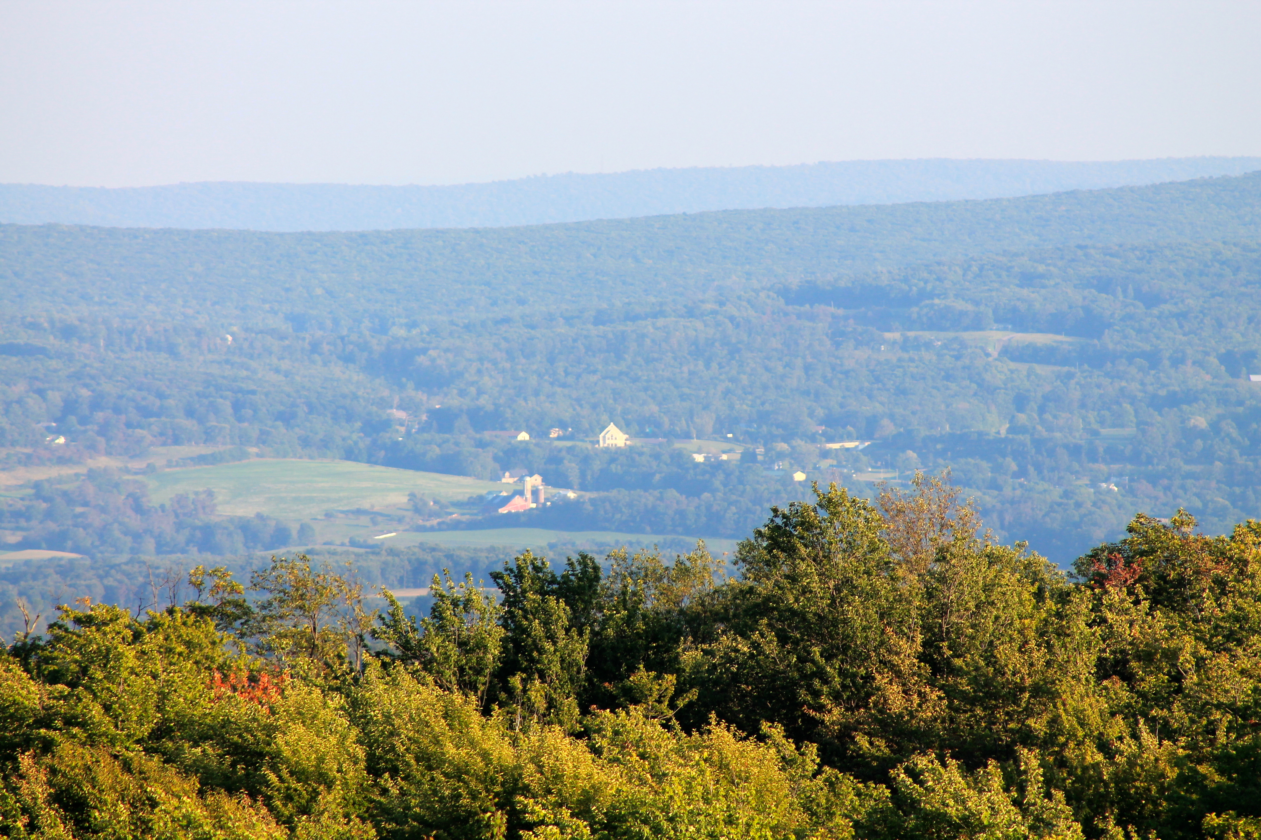
View SE from Mt. Davis Fire Tower

Mountain Morning Mist - Explore 2-12
Topographic Map of Westview Crossing, Grantsville, MD, USA
Find elevation by address:

Places near Westview Crossing, Grantsville, MD, USA:
1238 Westview Crossing
Westview Crossing
National Pike, Frostburg, MD, USA
17325 National Pike
9, Finzel
Westernport Rd, Barton, MD, USA
Finzel
Finzel
26, Frostburg
11, West Frostburg
Shaft Rd SW, Frostburg, MD, USA
Klondike Rd SW, Frostburg, MD, USA
188 W Main St
141 Frost Ave
180 Ormand St
Old Beechwood Rd SW, Lonaconing, MD, USA
220 Armstrong Ave
79 Frost Ave
108 Ormand St
Frostburg
Recent Searches:
- Elevation of Corso Fratelli Cairoli, 35, Macerata MC, Italy
- Elevation of Tallevast Rd, Sarasota, FL, USA
- Elevation of 4th St E, Sonoma, CA, USA
- Elevation of Black Hollow Rd, Pennsdale, PA, USA
- Elevation of Oakland Ave, Williamsport, PA, USA
- Elevation of Pedrógão Grande, Portugal
- Elevation of Klee Dr, Martinsburg, WV, USA
- Elevation of Via Roma, Pieranica CR, Italy
- Elevation of Tavkvetili Mountain, Georgia
- Elevation of Hartfords Bluff Cir, Mt Pleasant, SC, USA