Elevation of Westminster, MD, USA
Location: United States > Maryland > Carroll County > 7, Westminster >
Longitude: -76.995814
Latitude: 39.5753791
Elevation: 232m / 761feet
Barometric Pressure: 99KPa
Elevation Map:
Satellite Map:
Related Photos:
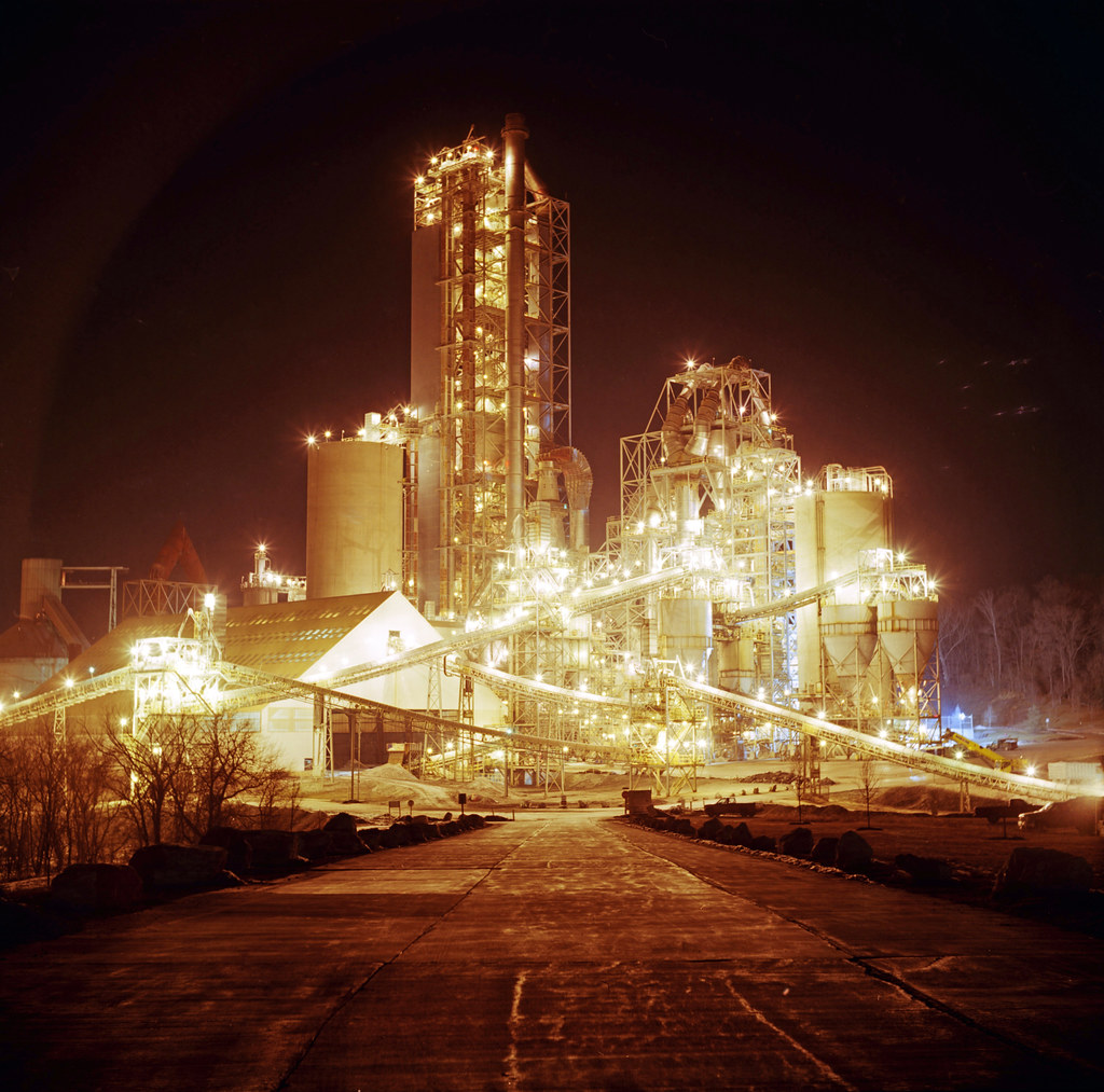
Cement Plant
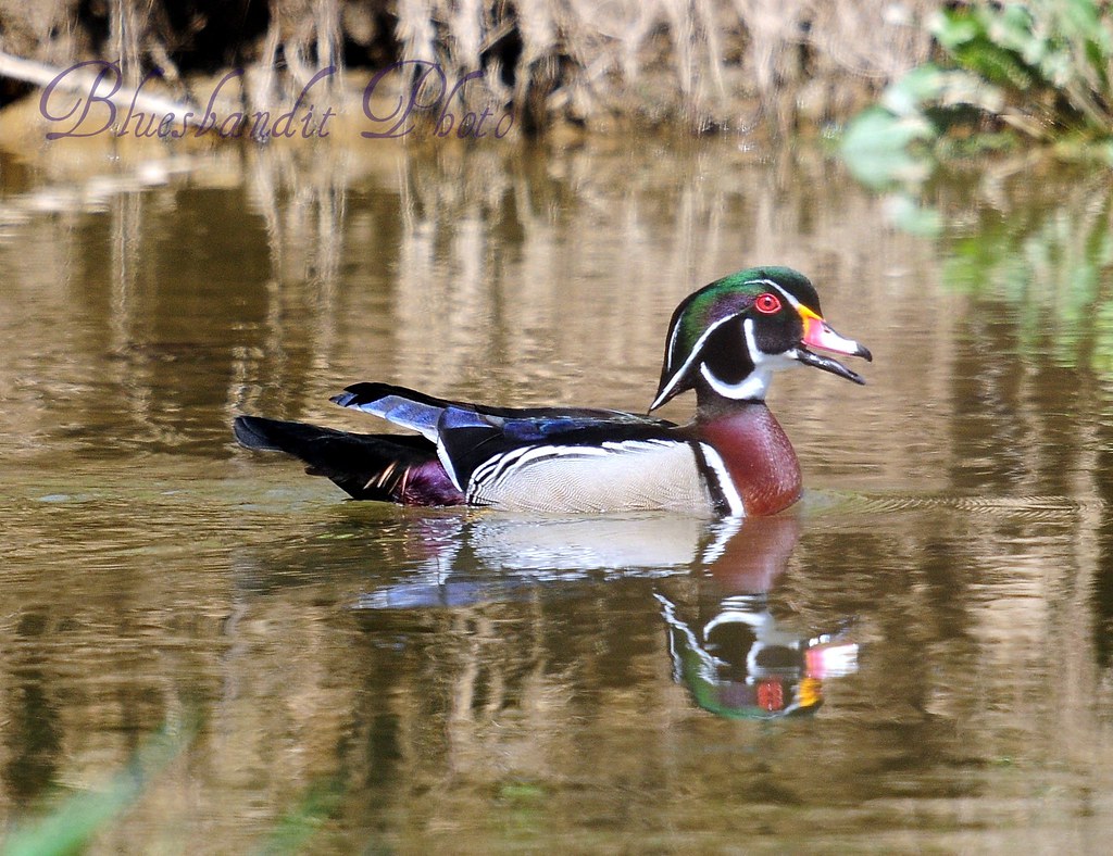
Wood Duck (Male)
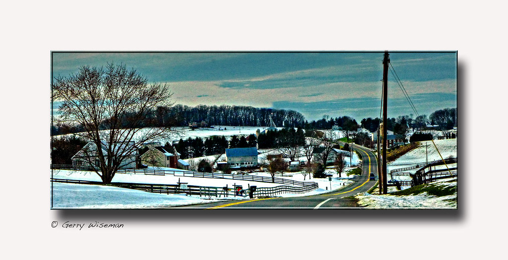
A view of Uniountown Rd. Carroll Co., MD.

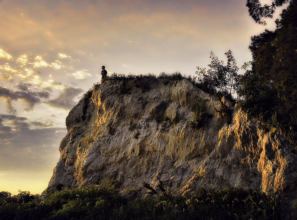
The Infamous Tornado Photo [08.14.12]

El-Car Motel in Boring, MD
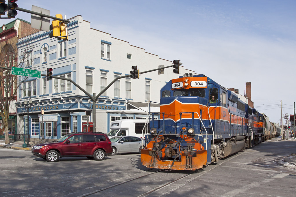
MMID 304 on UBEG, Westminster, MD
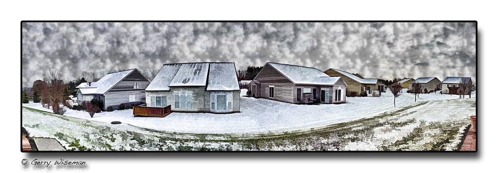
White Christmas
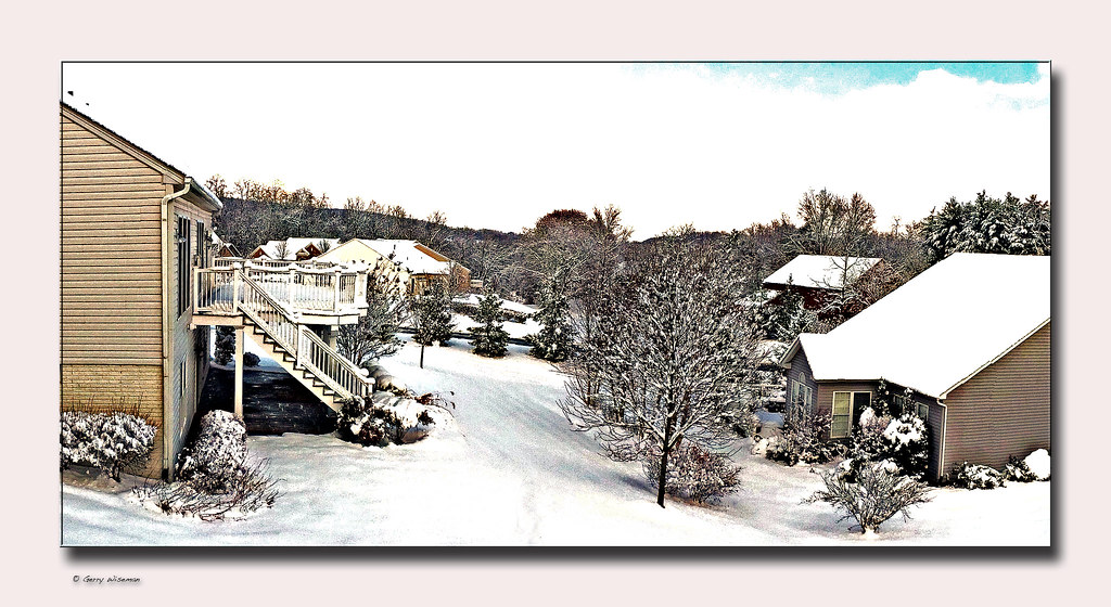
View from my #office #snowday #backyard
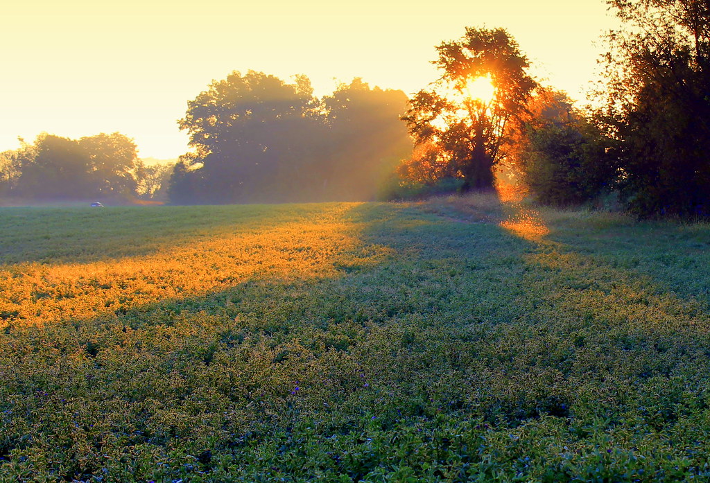
New Windsor Sunrise
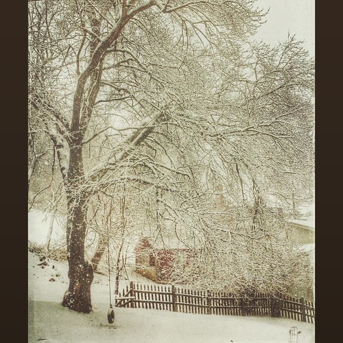
After the storm.
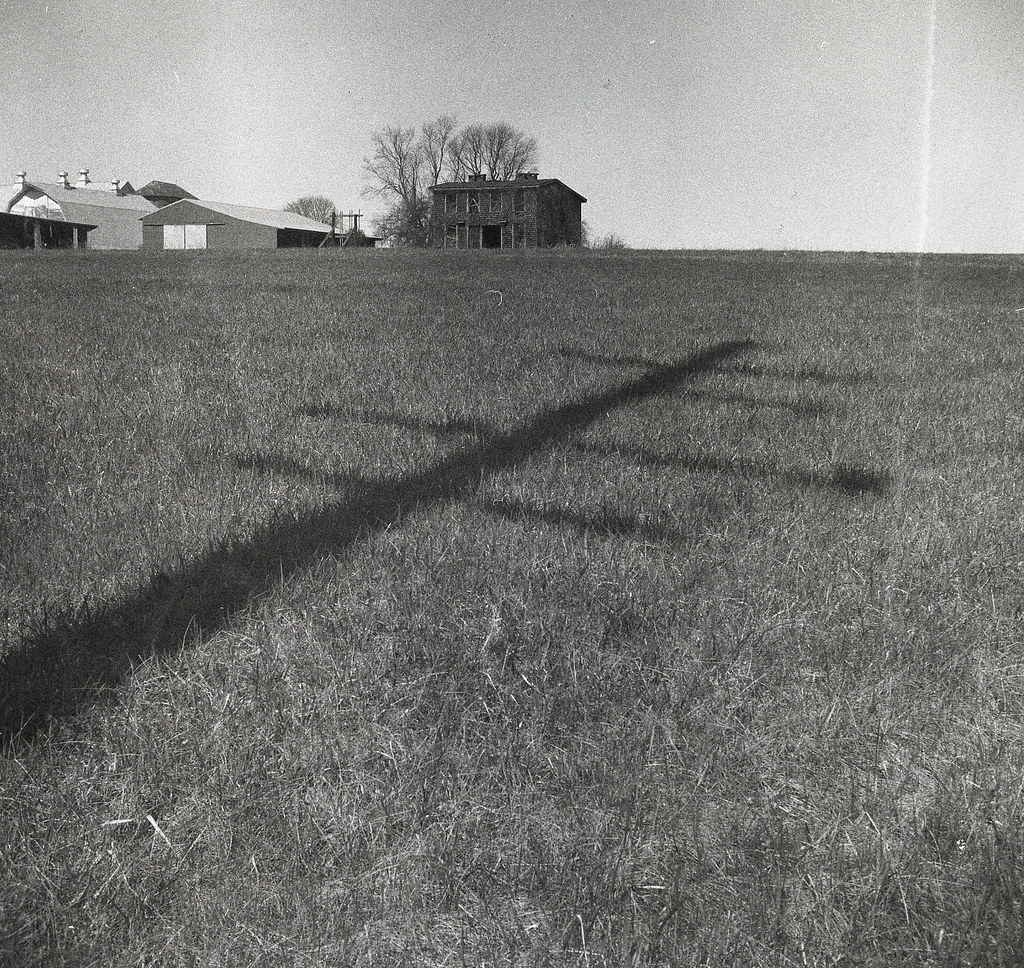
old farmhouse
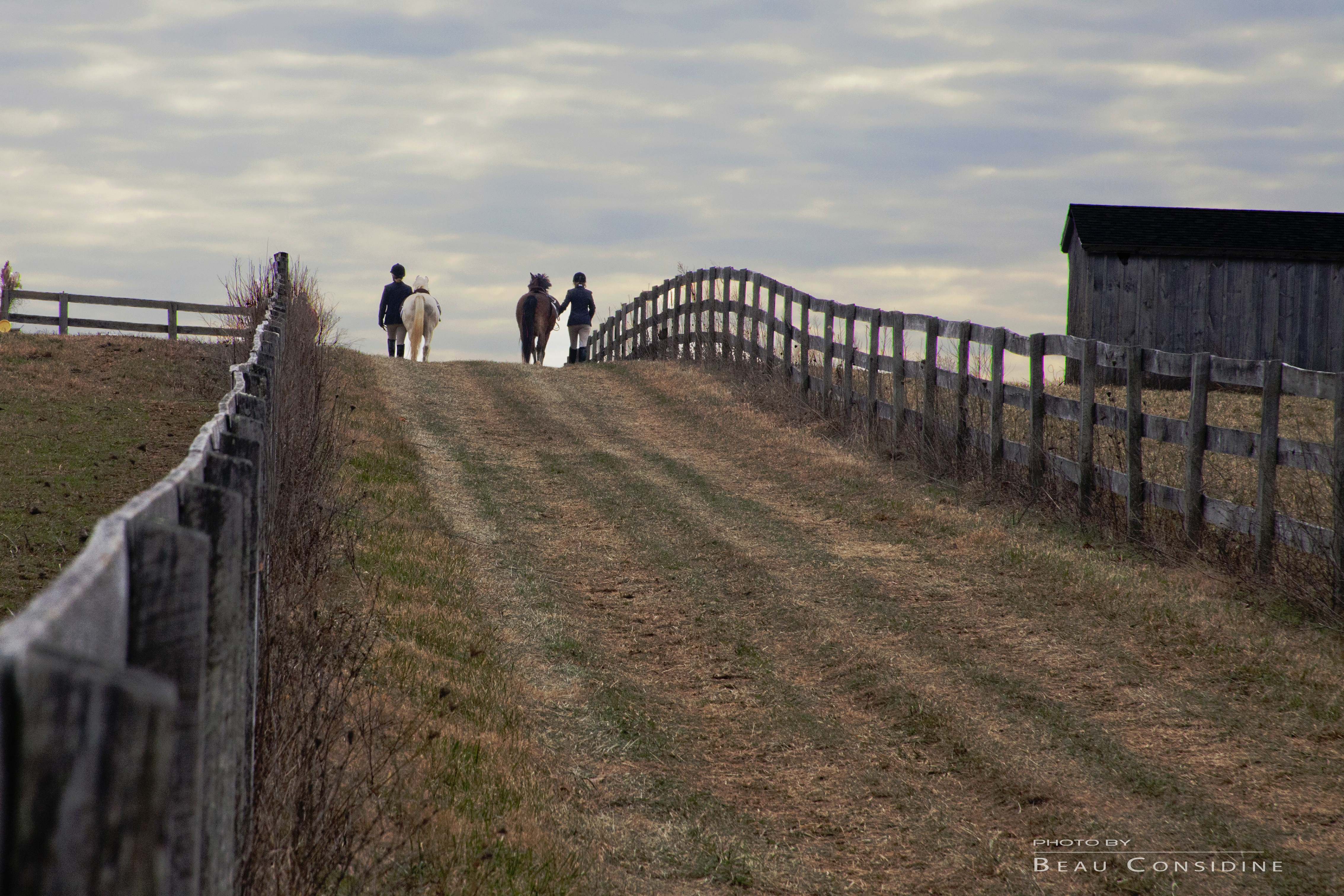
Livin' in the Country

American Avocet

Carnival, climbing the revolving ladder (HDR)

Berryfield's Farmhouse (side view)

At The Carnival- Jailhouse Rock HDR
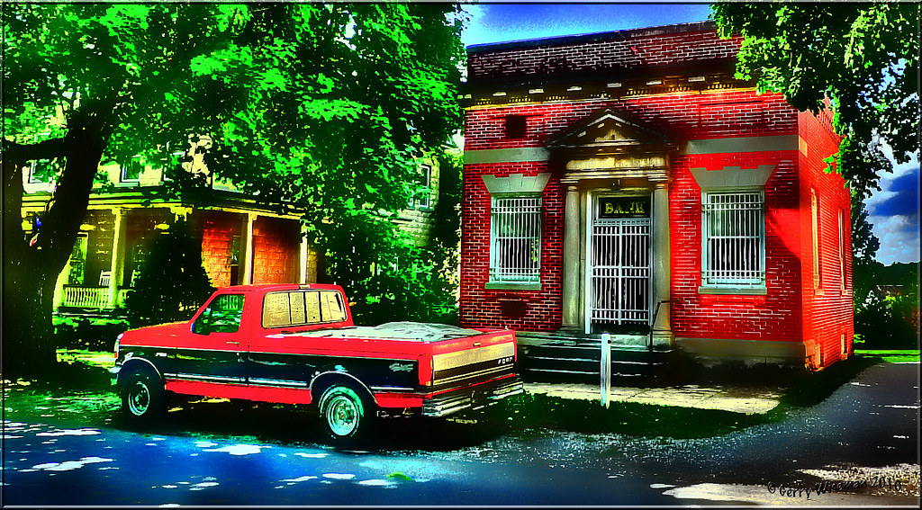
Uniontown Bank
"8X5 Reasons to love Carroll County"

Top View
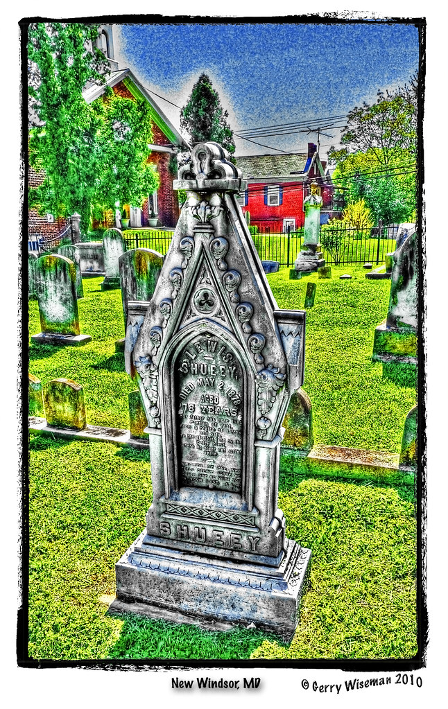
Gravestone, New Windsor, MD
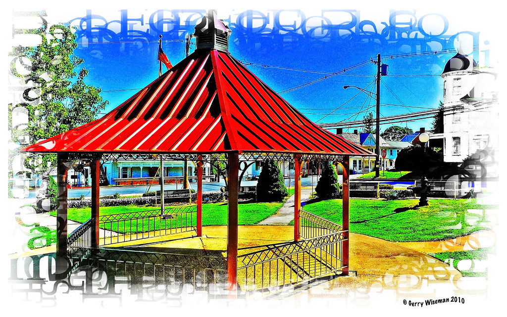
New Windsor Gazebo (HDR)
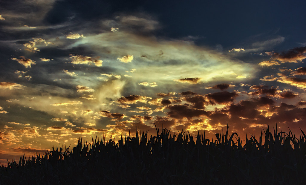
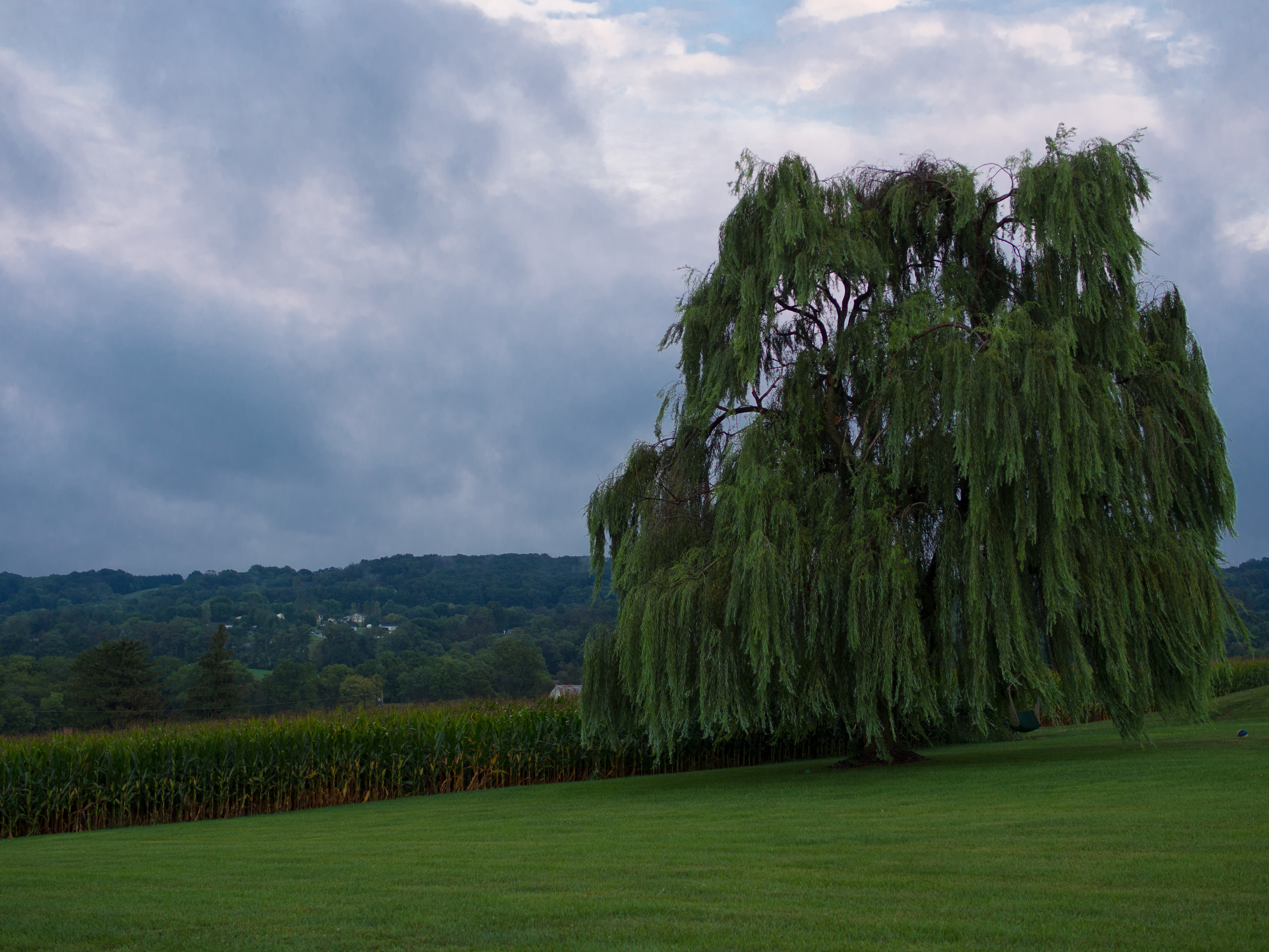
Sunset over Cornfield
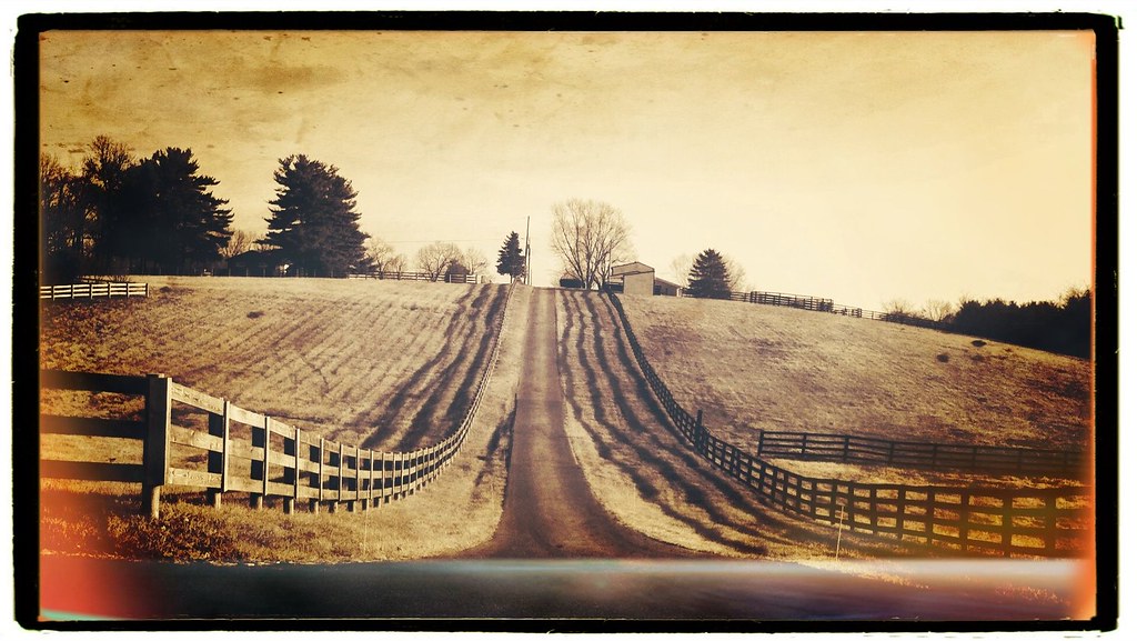
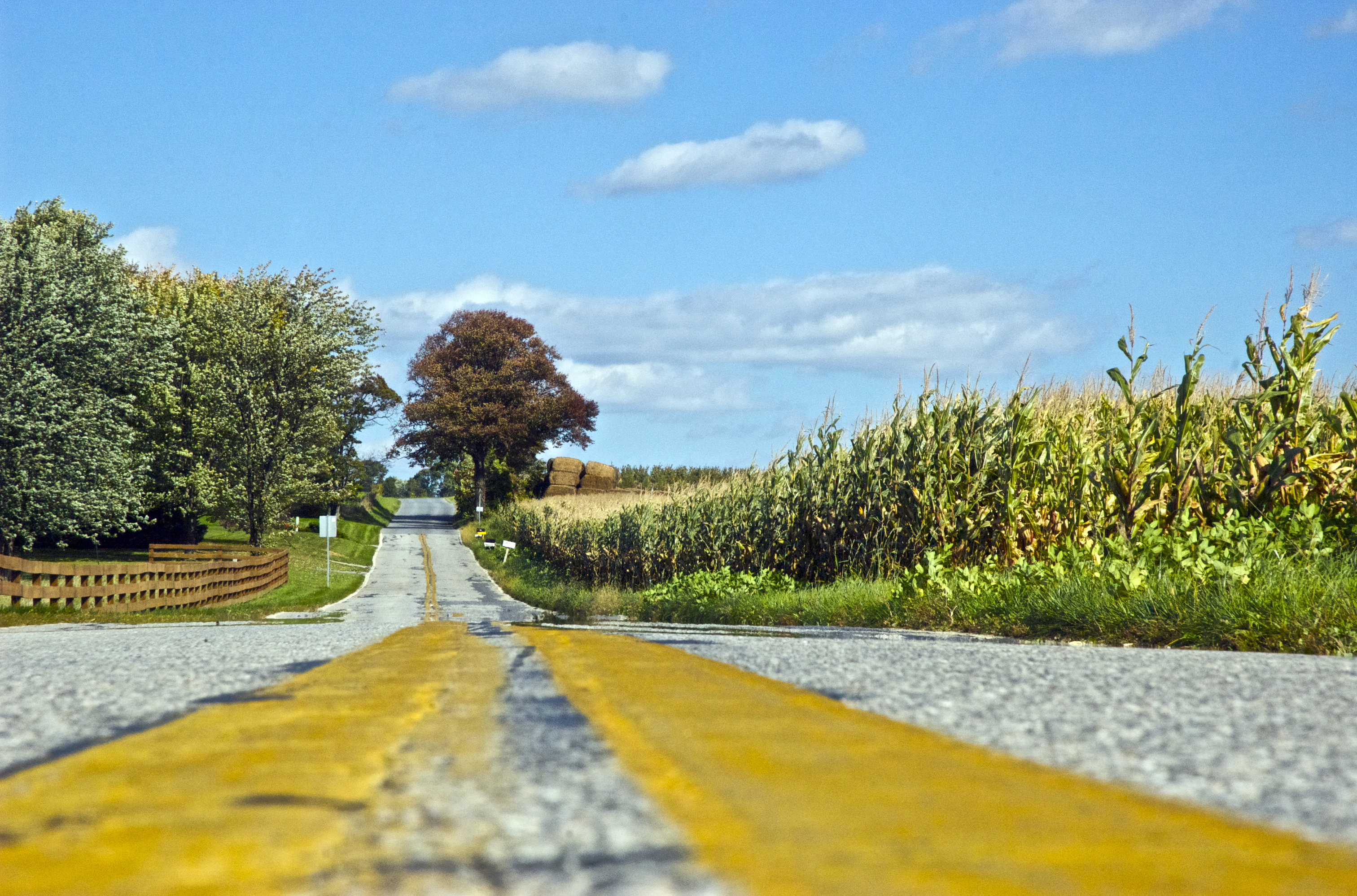
the straight and narrow

Lightning Storm 8.14.2012

The great new technology!
Good morning #finksburg
Mt. Gilead rd
Walking through #finksburg

Fields of Green
EPIC ENDING TO AN EPIC DAY!!! #arcadiademolitionderby w/ @lopophoto @yoyojosh & @dana_bee
Nice Aftrernoon for a Walk
Flip it! Flip it real good! #arcadiademolitionderby @lopophoto @dana_bee @yoyojosh
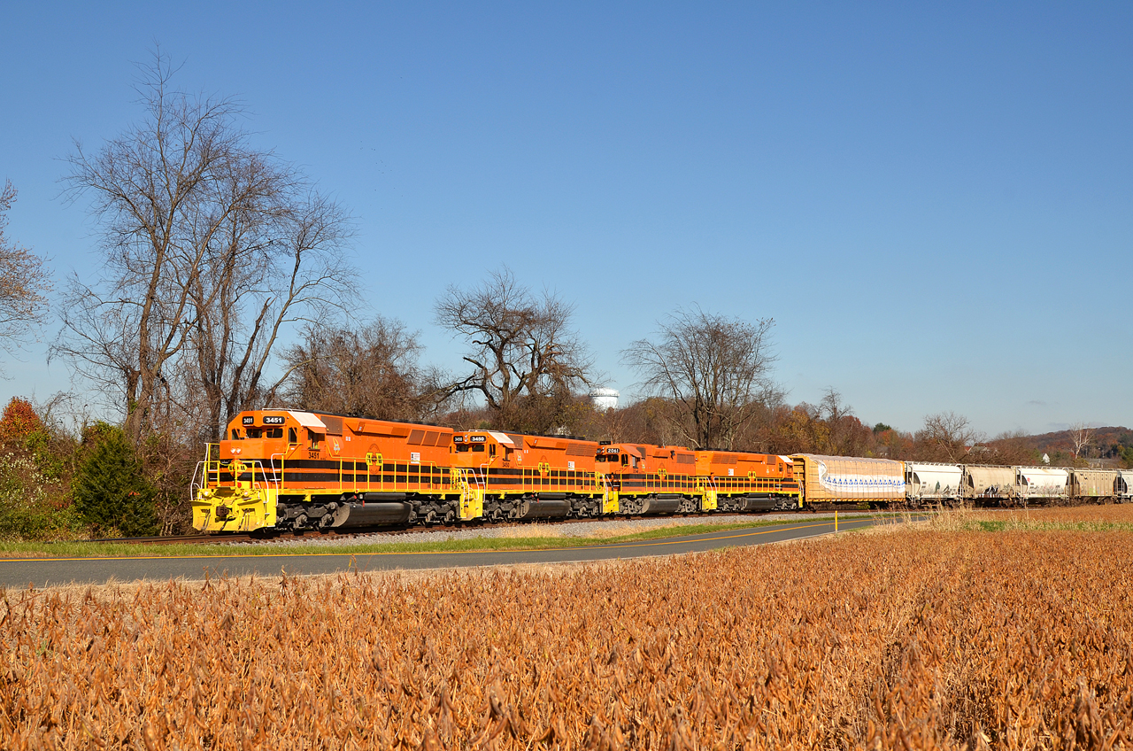
MMID SD40-2-3451 W/B UBEG at Avondale, MD.
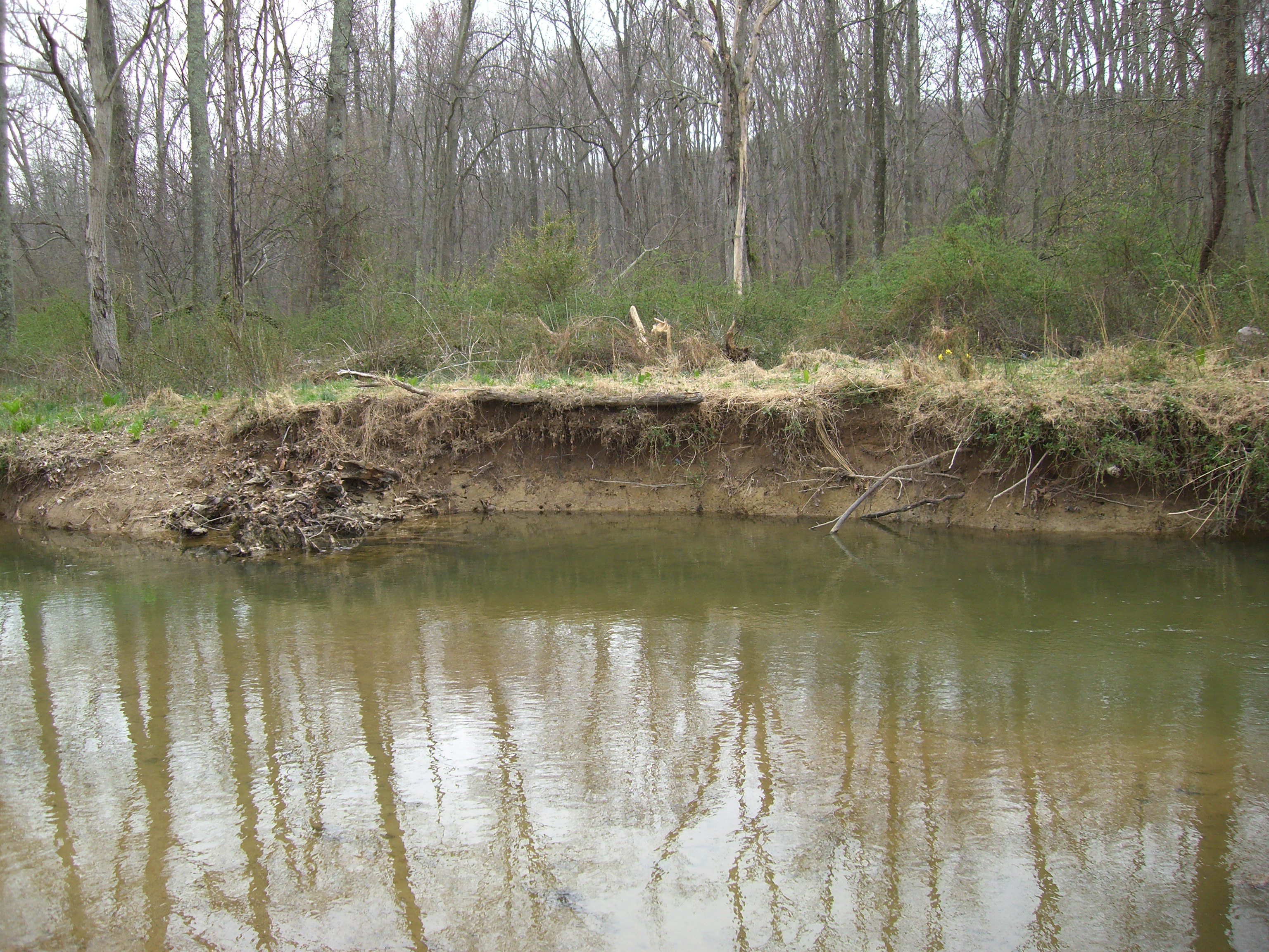
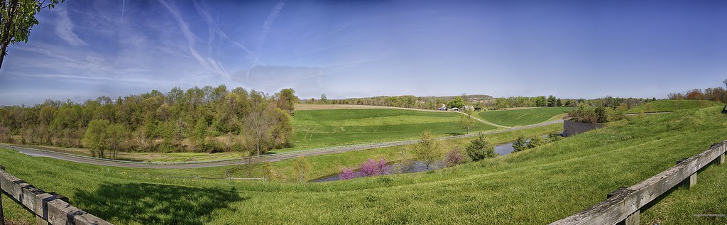
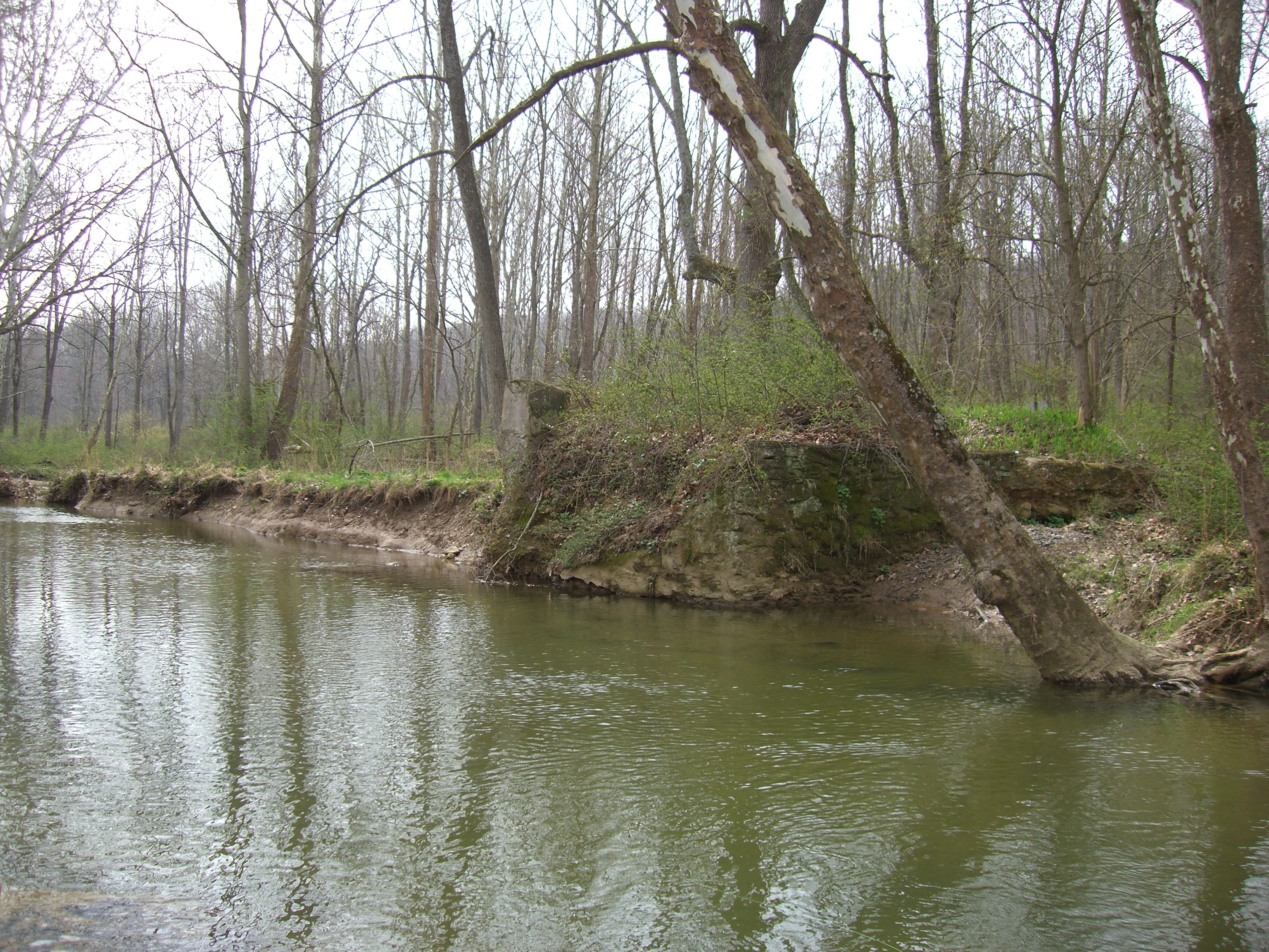
Morgan Run April 08 077

20120826NEM0170.jpg
Summer of '14
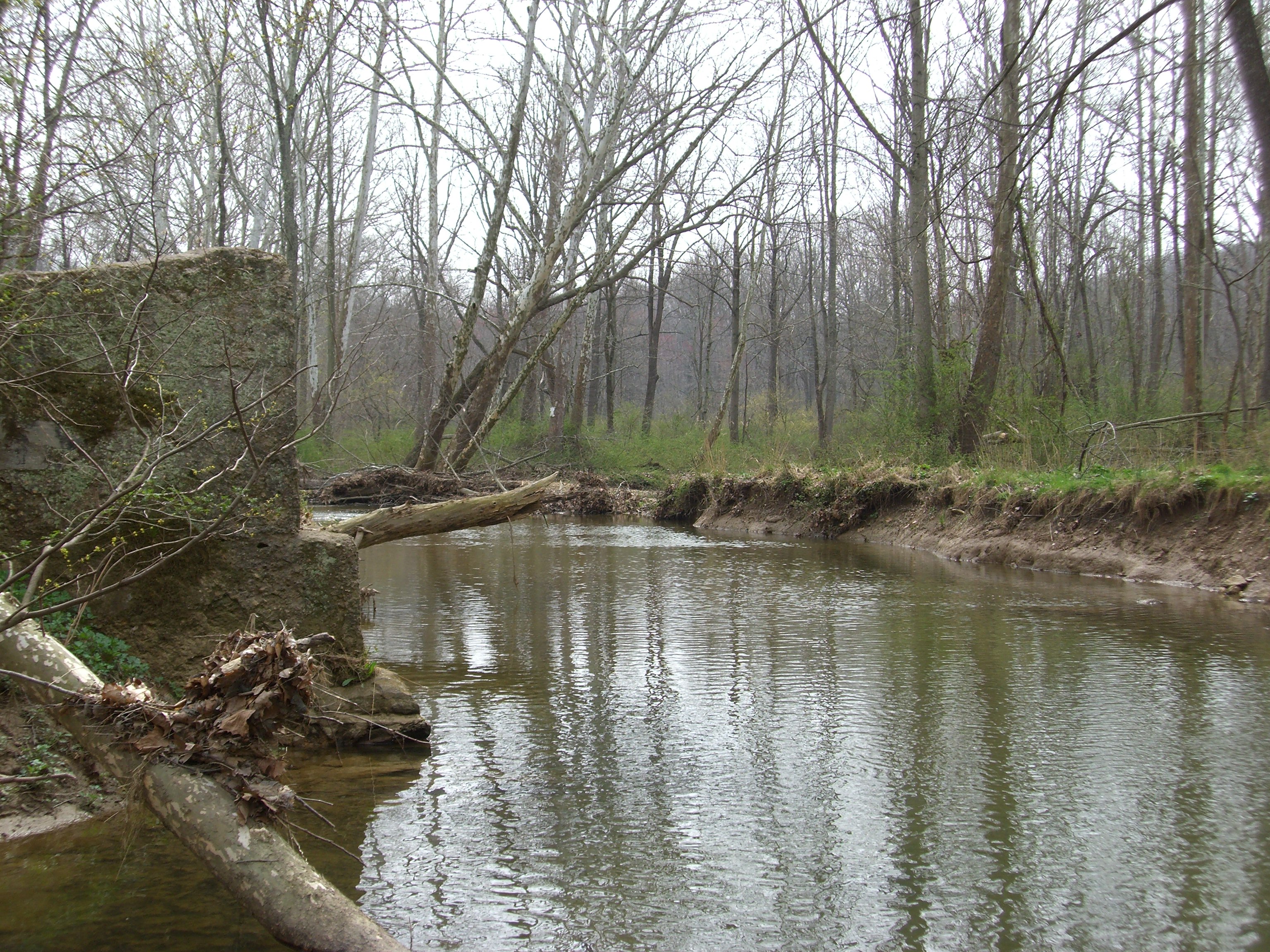
Morgan Run April 08 005
20120826NEM0195.jpg
Morgan Run April 08 006
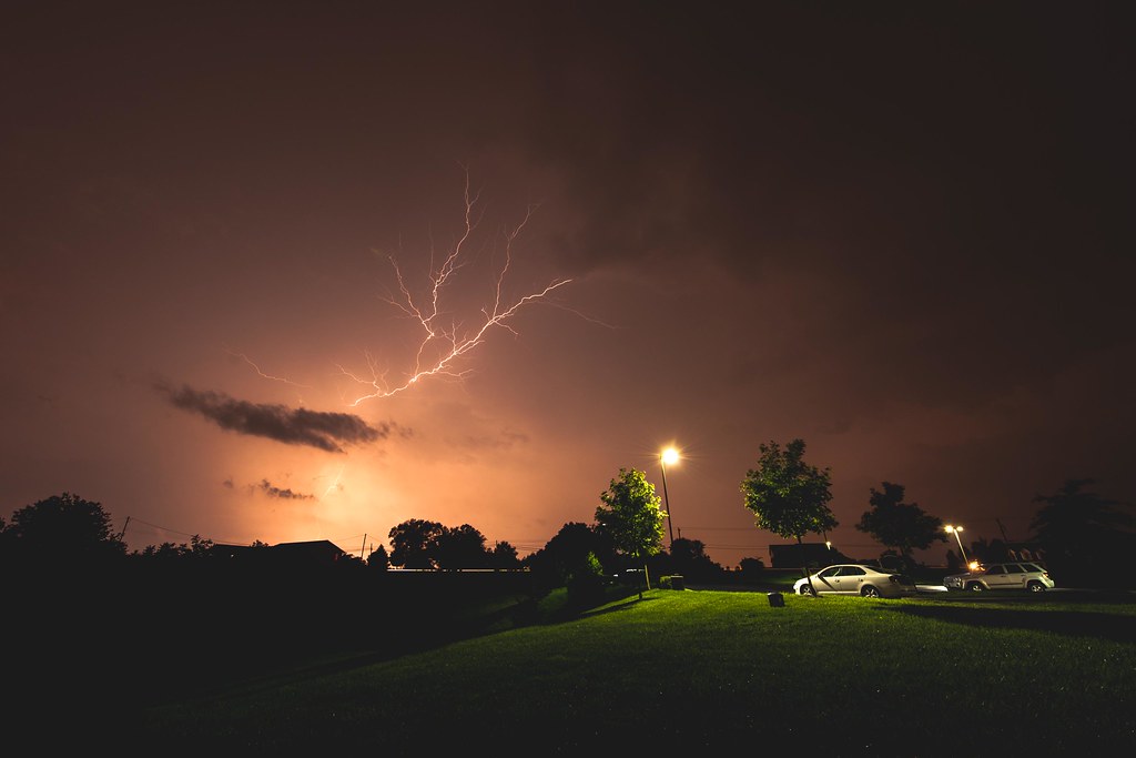
Lightning Storm 8.14.2012
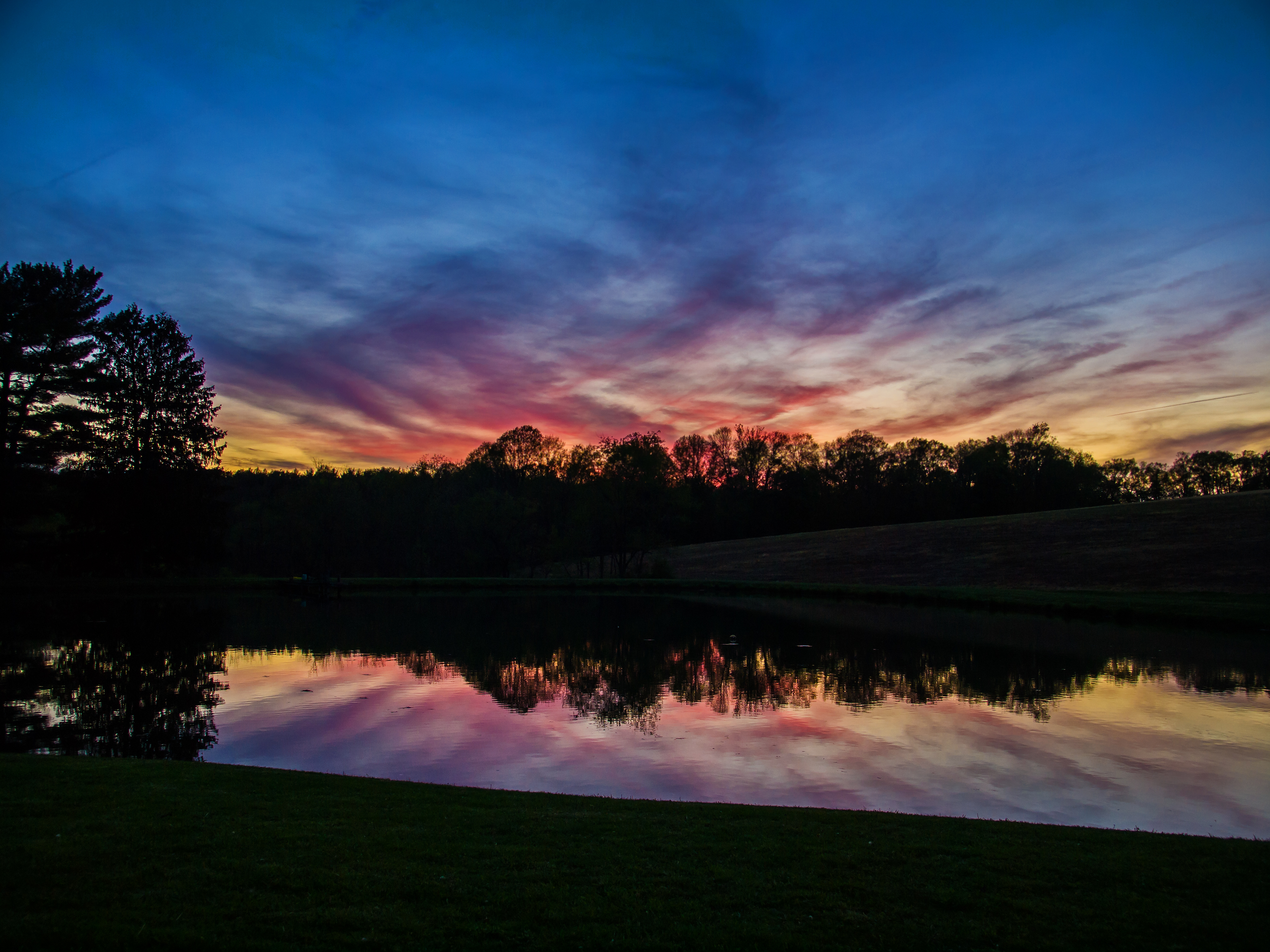
Gone the sun
Topographic Map of Westminster, MD, USA
Find elevation by address:

Places in Westminster, MD, USA:
Bachmans Valley Rd, Westminster, MD, USA
Laurier Dr, Westminster, MD, USA
Indian Valley Trail, Westminster, MD, USA
32 Fitzhugh Ave, Westminster, MD, USA
Topkapi Dr, Westminster, MD, USA
Old Westminster Rd, Westminster, MD, USA
Mathias Ct, Westminster, MD, USA
Pleasant Valley Rd S, Westminster, MD, USA
Oxwed Ct, Westminster, MD, USA
Anita Dr, Westminster, MD, USA
Oneta Dr, Westminster, MD, USA
Herbert Ave, Westminster, MD, USA
Bird View Rd, Westminster, MD, USA
Brandy Ln, Westminster, MD, USA
Peppermint Ln, Westminster, MD, USA
Warehime Rd, Westminster, MD, USA
Old Westminster Pike, Westminster, MD, USA
Creek Dr, Westminster, MD, USA
Silver Run
Westminster, MD, USA
Places near Westminster, MD, USA:
2 W Main St
53 Ridge Rd
32 Fitzhugh Ave, Westminster, MD, USA
Mathias Ct, Westminster, MD, USA
Mcdaniel College
1 Arthur Peck Dr
994 Wampler Ln
Indian Valley Trail, Westminster, MD, USA
Morelock Schoolhouse Rd, Westminster, MD, USA
1715 Bren-will Dr
Littlestown Pike, Westminster, MD, USA
Pleasant Valley Rd S, Westminster, MD, USA
Westminster, MD, USA
Tuder Dr, Westminster, MD, USA
Warehime Rd, Westminster, MD, USA
Lookabout Manor
Creek Dr, Westminster, MD, USA
Stone Road
Old Taneytown Rd, Westminster, MD, USA
3917 Old Hanover Rd
Recent Searches:
- Elevation of Corso Fratelli Cairoli, 35, Macerata MC, Italy
- Elevation of Tallevast Rd, Sarasota, FL, USA
- Elevation of 4th St E, Sonoma, CA, USA
- Elevation of Black Hollow Rd, Pennsdale, PA, USA
- Elevation of Oakland Ave, Williamsport, PA, USA
- Elevation of Pedrógão Grande, Portugal
- Elevation of Klee Dr, Martinsburg, WV, USA
- Elevation of Via Roma, Pieranica CR, Italy
- Elevation of Tavkvetili Mountain, Georgia
- Elevation of Hartfords Bluff Cir, Mt Pleasant, SC, USA