Elevation of Wester Fowlis House, Alford AB33 8NP, UK
Location: United Kingdom > Scotland > Aberdeenshire >
Longitude: -2.7482221
Latitude: 57.2299583
Elevation: 165m / 541feet
Barometric Pressure: 99KPa
Elevation Map:
Satellite Map:
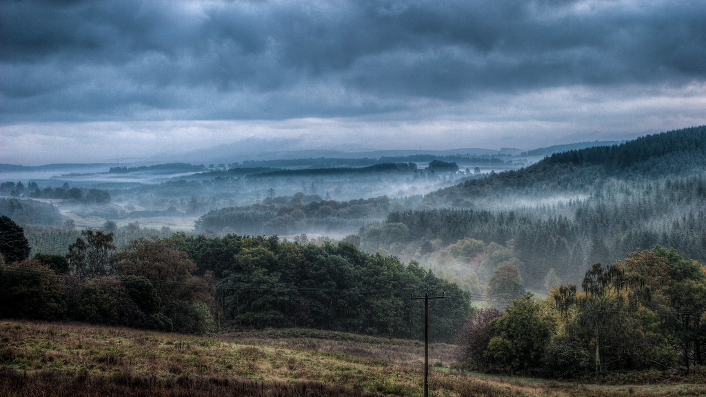
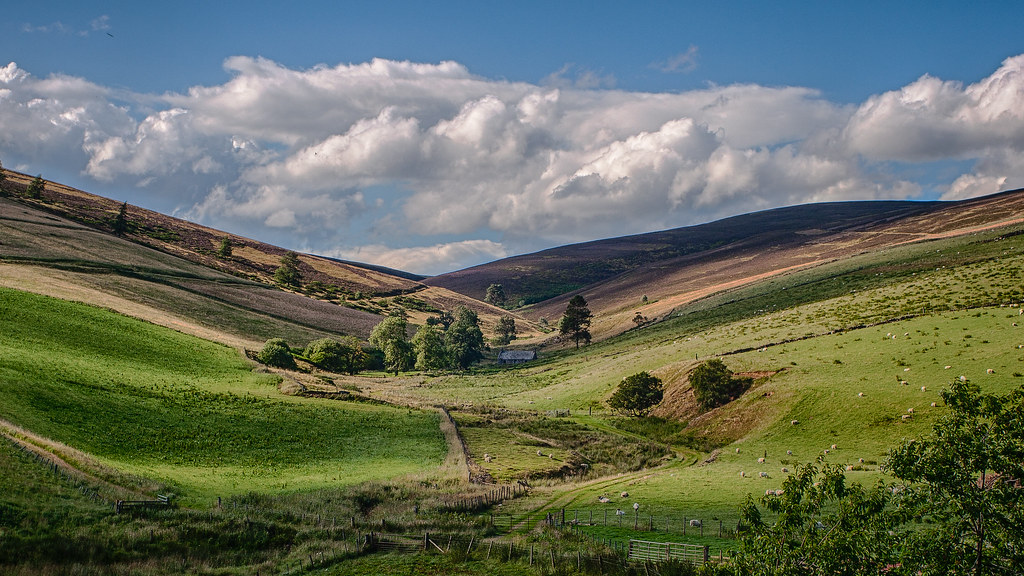
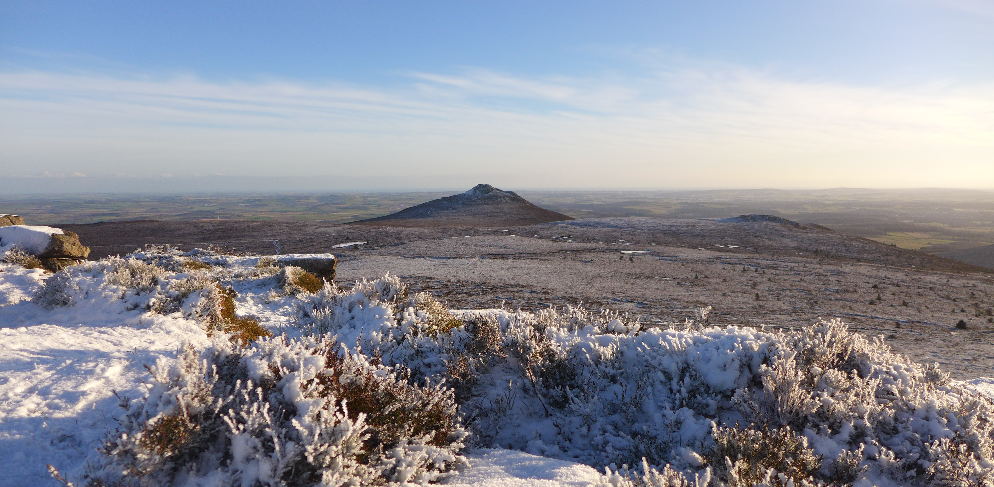
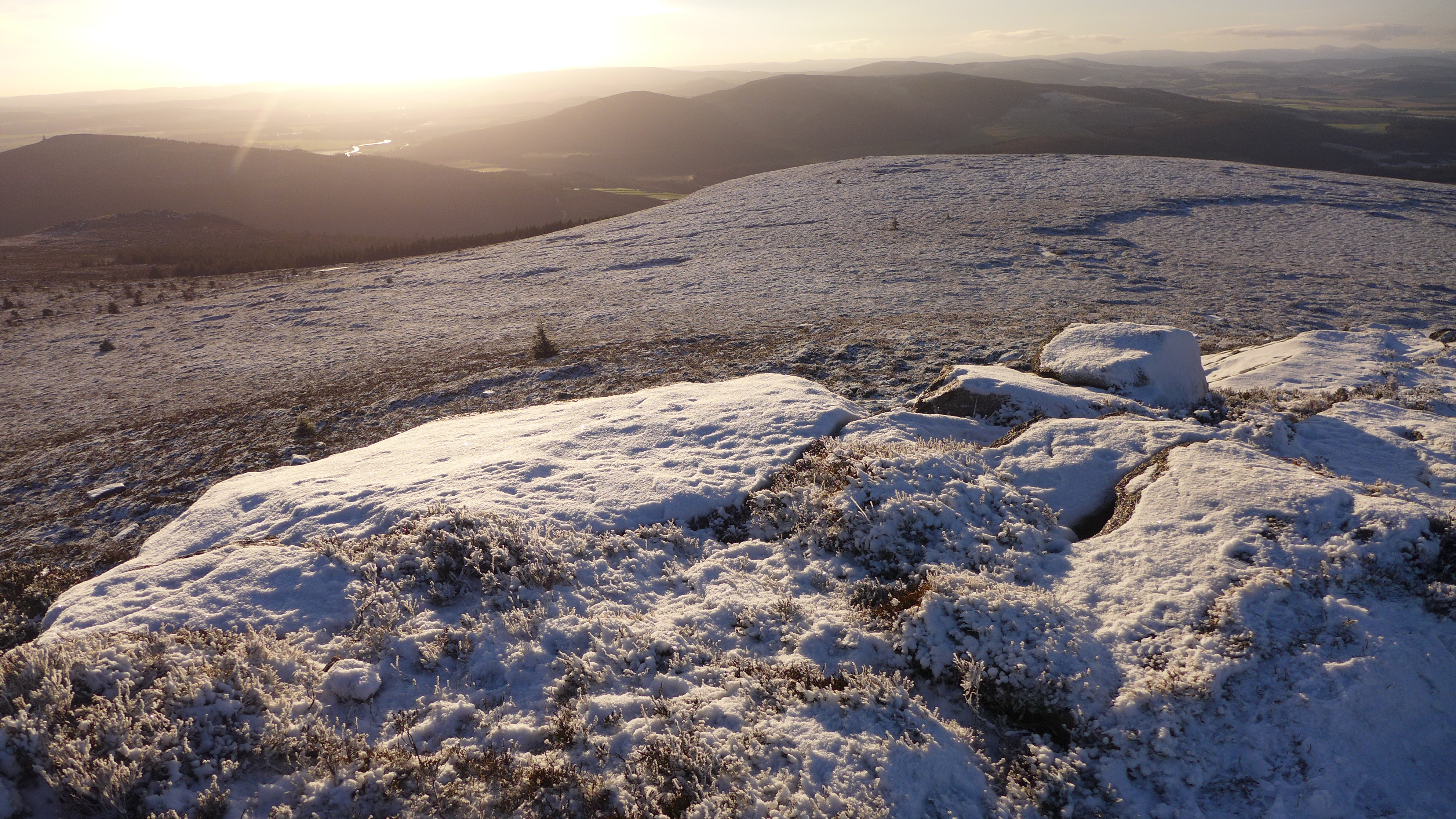
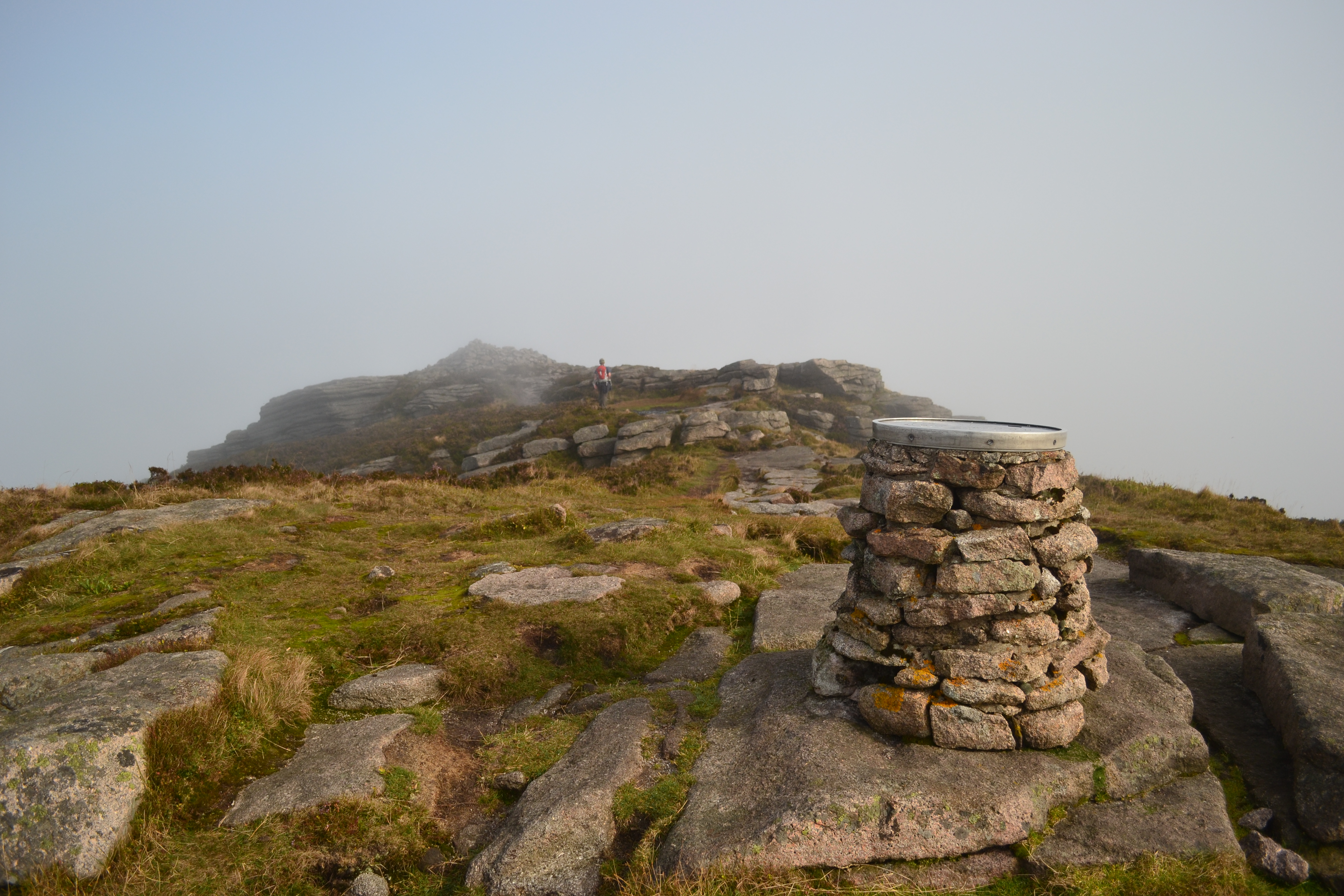
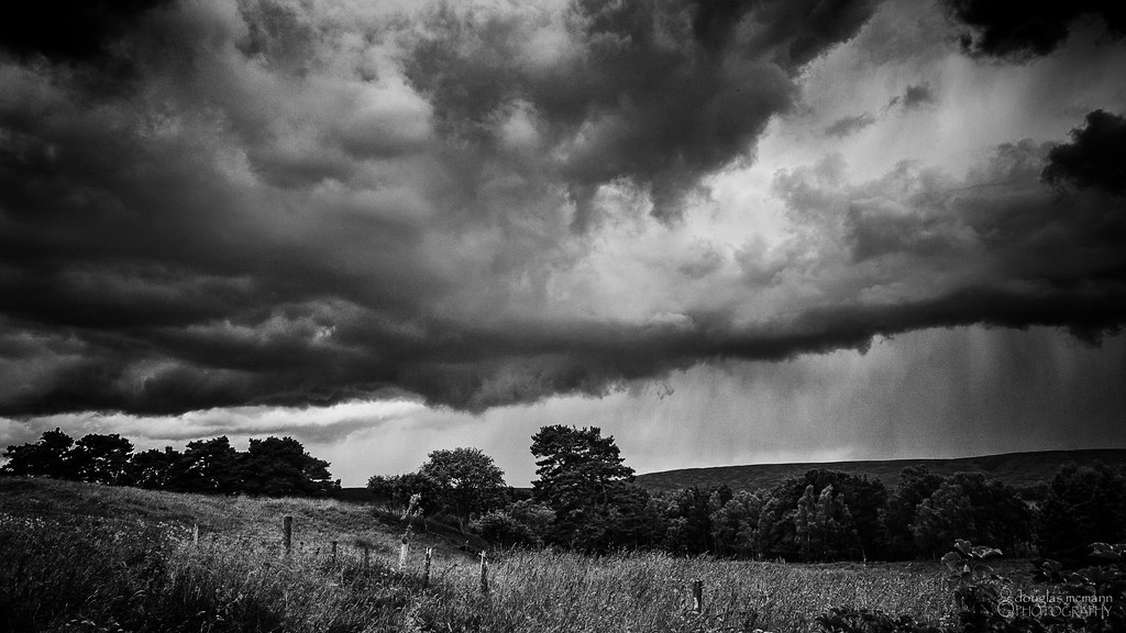
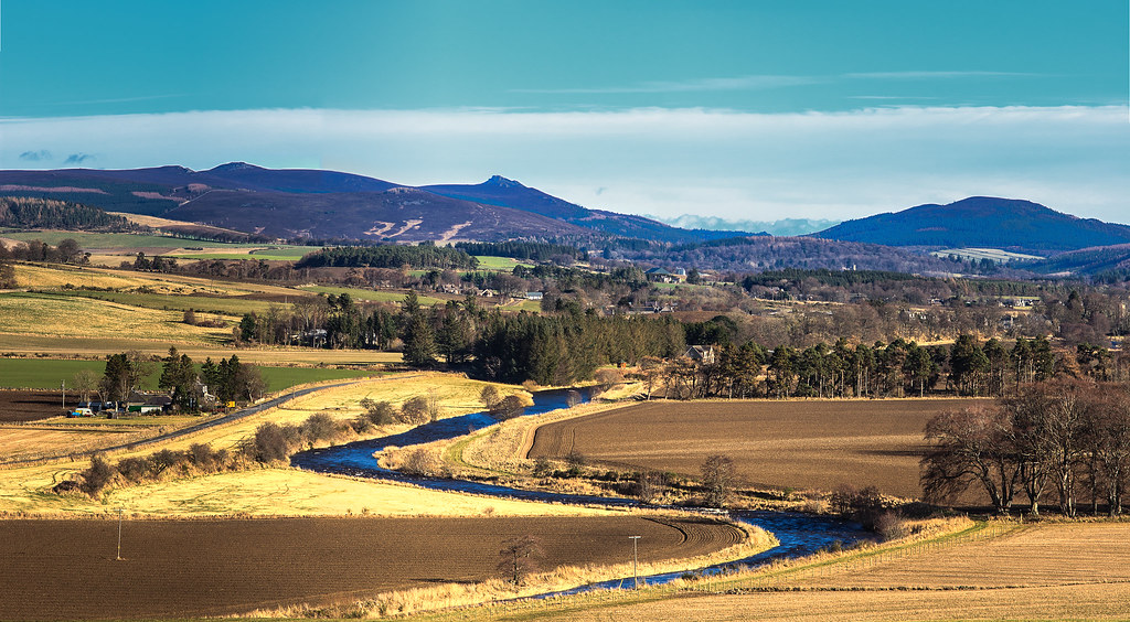
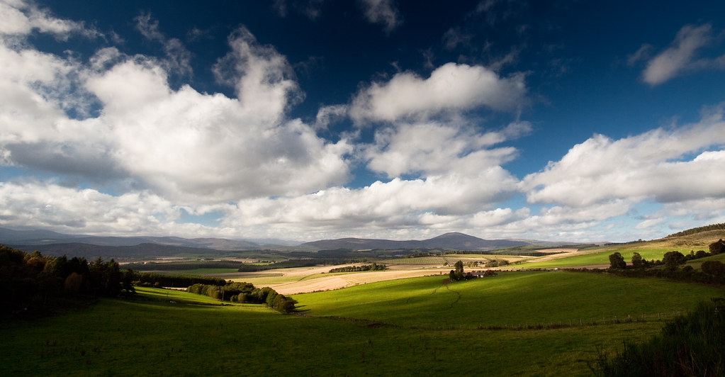
Related Photos:
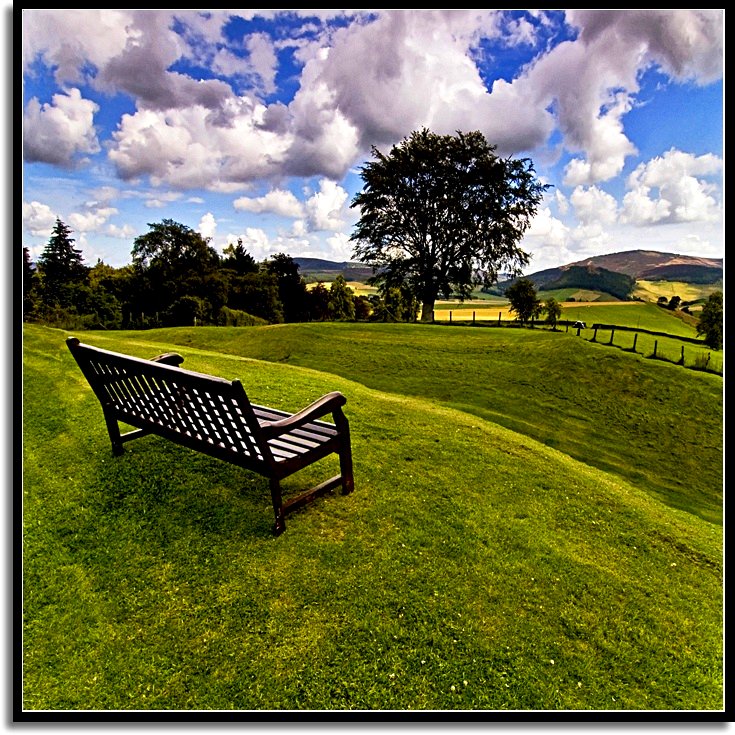
Sit Back and Enjoy The Ride

Crò Mhàrr, The Sheepfold of Mar.
Last Light

The Back O' Bennachie
The Garioch

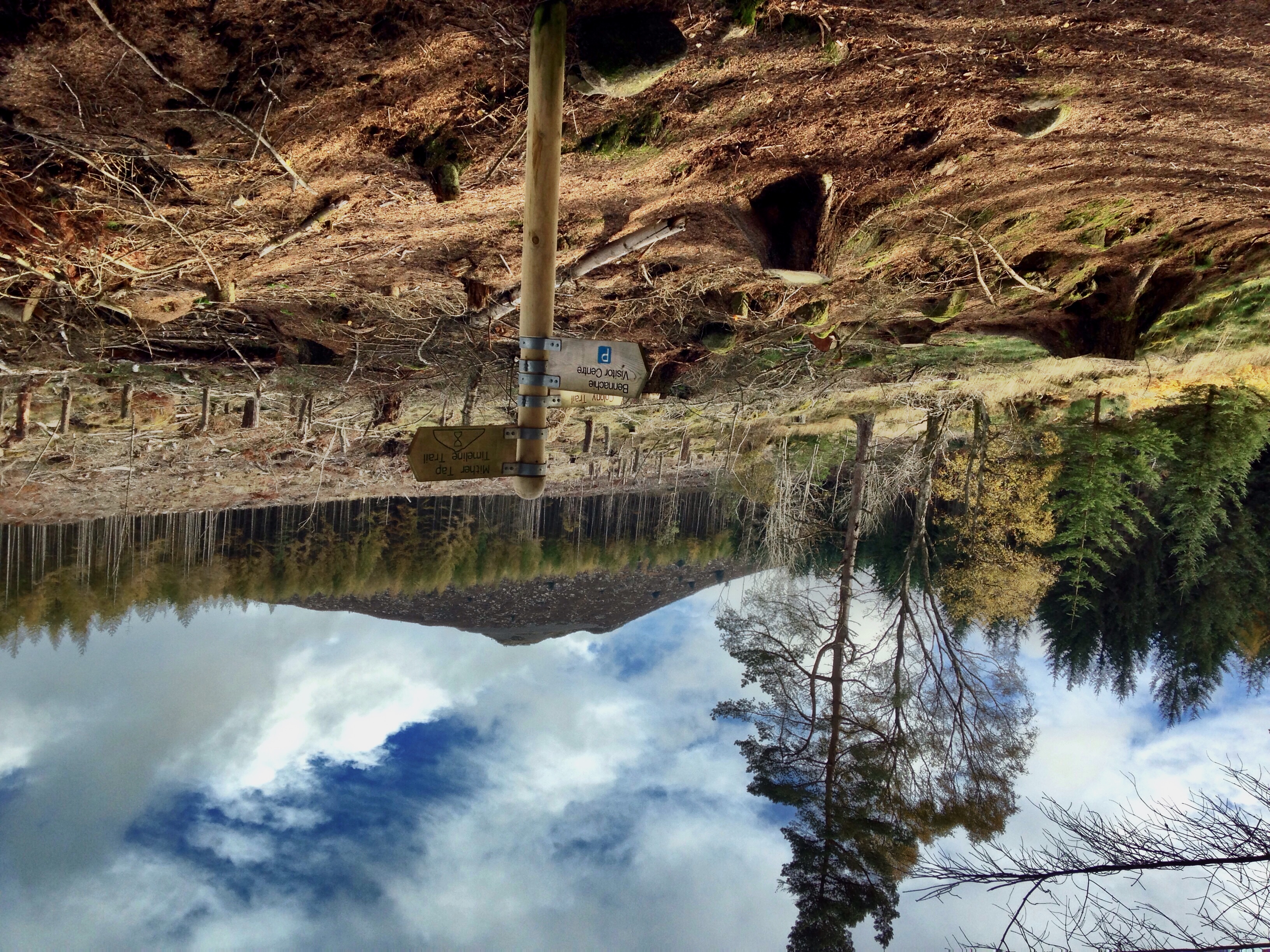
The Tap
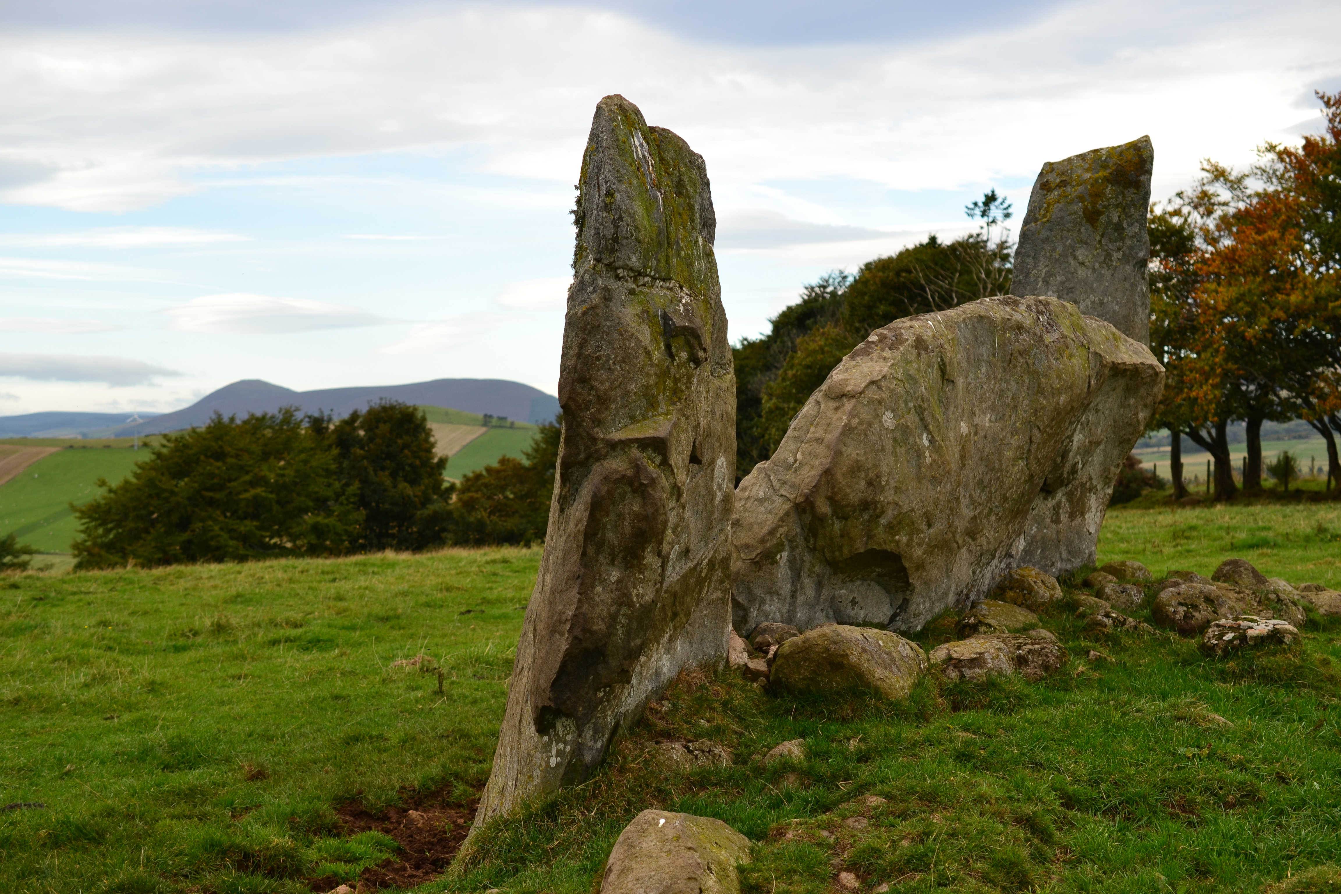
View down to Corrie Cairn stone circle from the Correen Hills
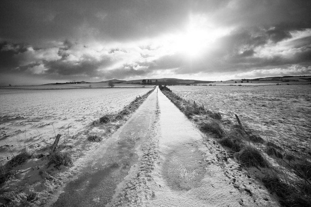
Winter Road
View south from Tolmauds II
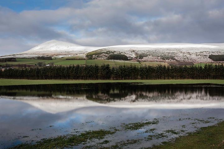
Reflection of the Tap
View back down the Gordon Way
Wider view
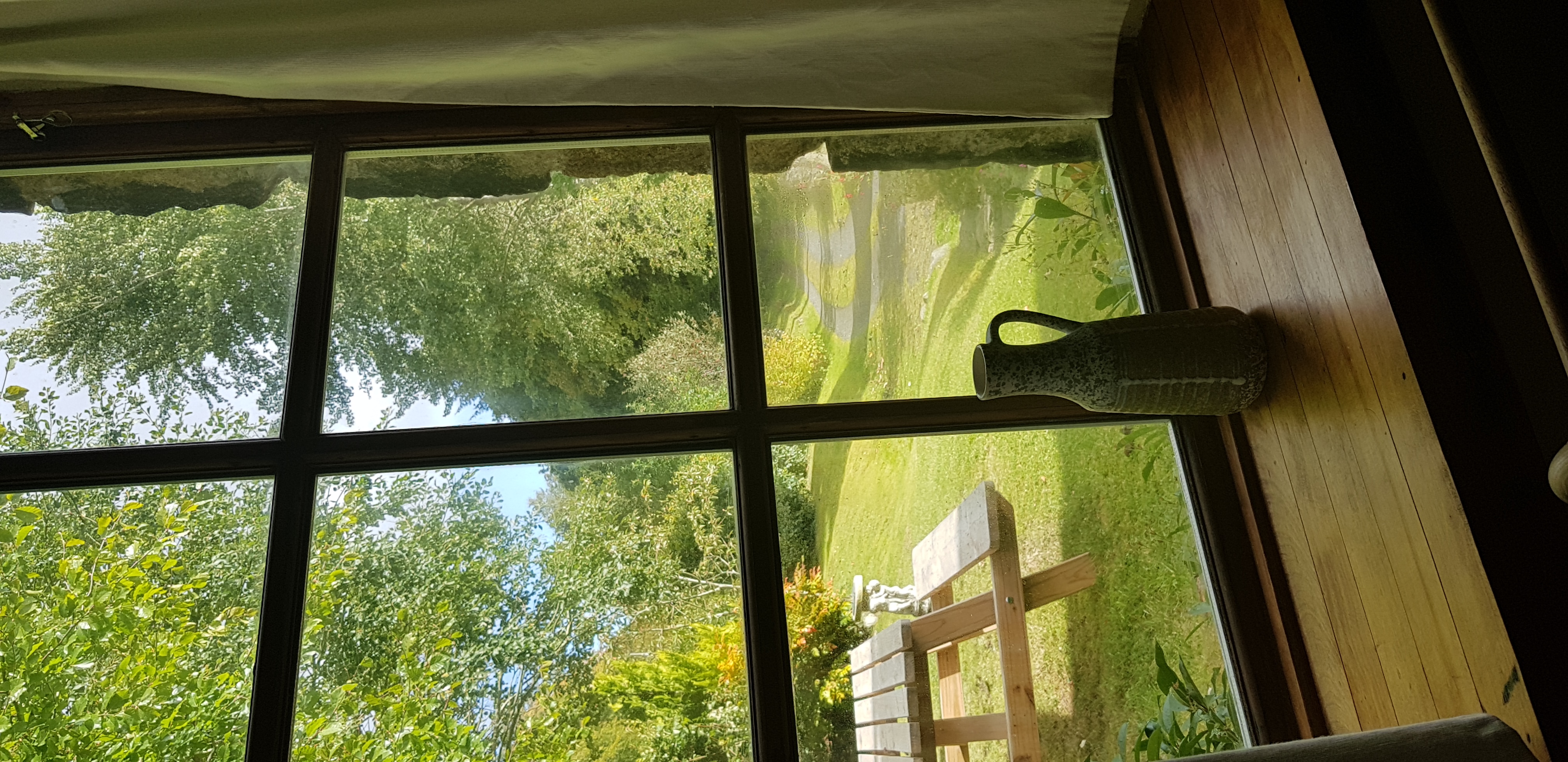
View with a room
Day 279//365 Stonehead stone circle
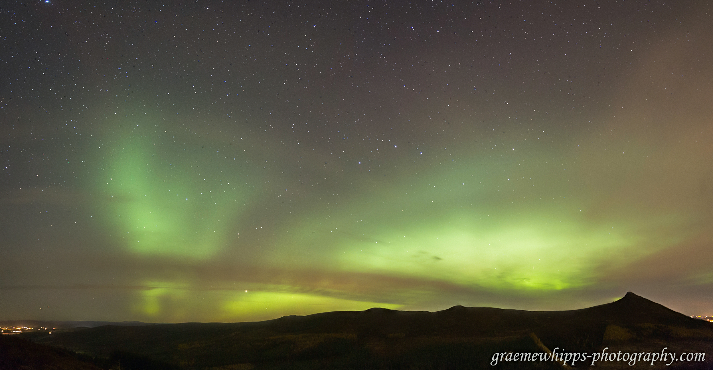
Mayday Mayday, somebody stole the sunshine

Bennachie 2 : December 2012

View from Craigievar
View of Mither Tap, Scotland.
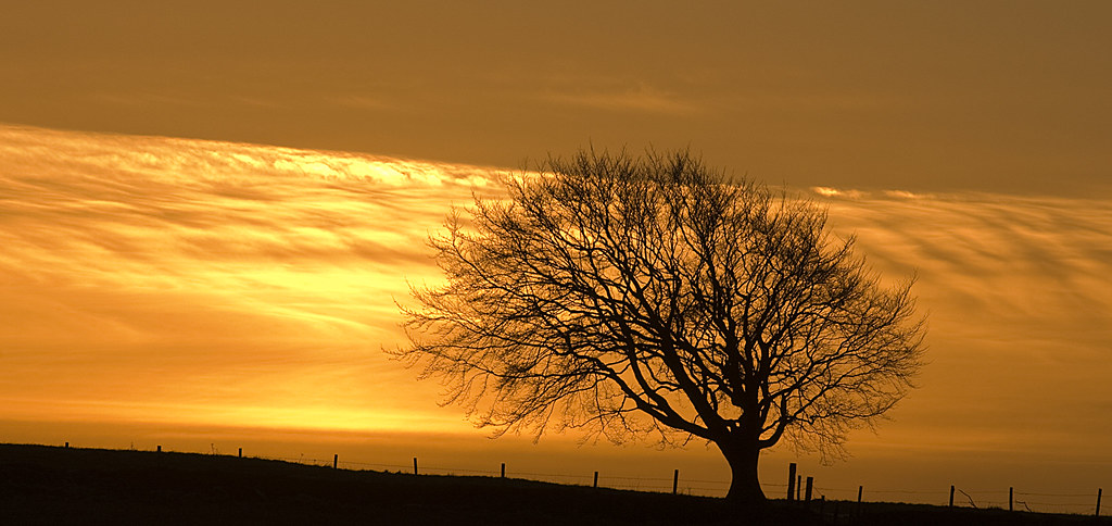
Tree & Fence Silohette 2

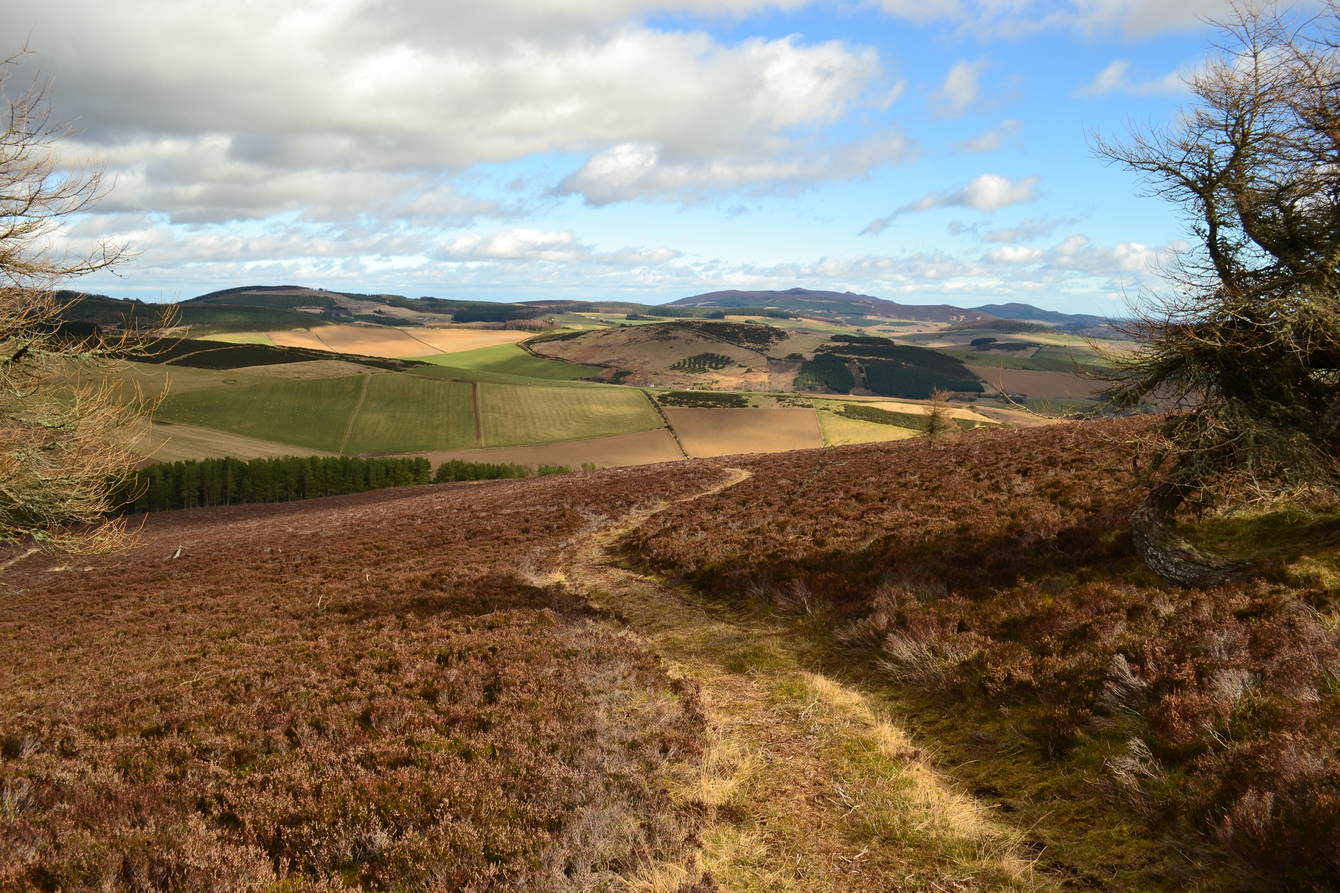
View across Howe of Cromar from Craiglich
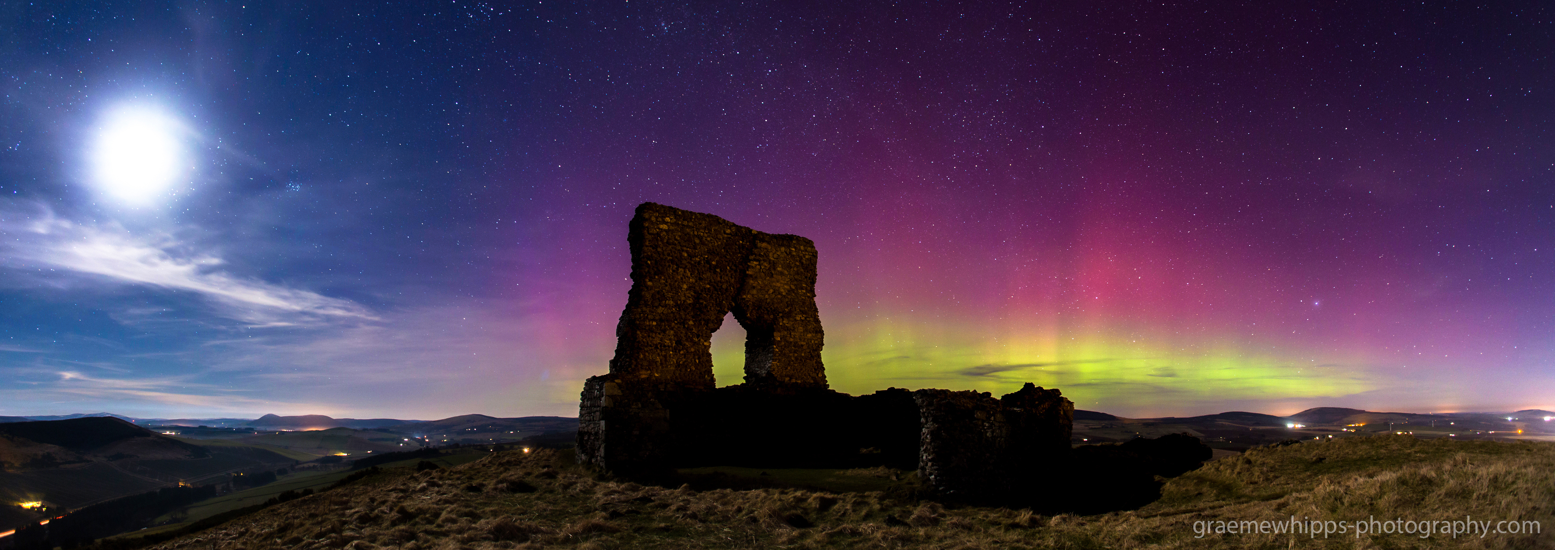
Dancing in the moonlight.
the white farmhouse

...upon us all a little rain must fall.
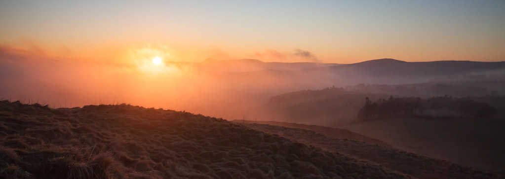
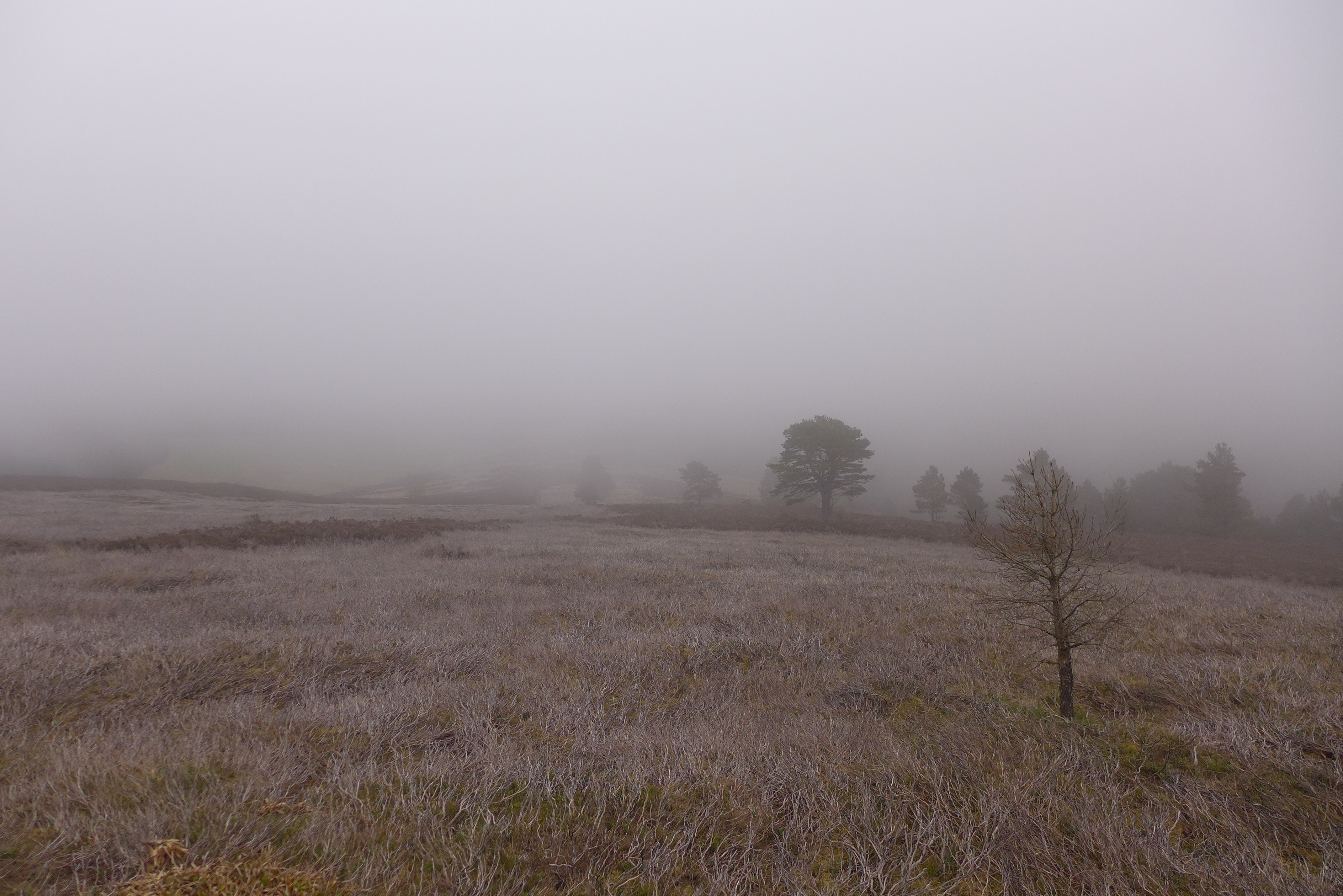
A Misty Start
Largue, Glenkindie

The "Tap".

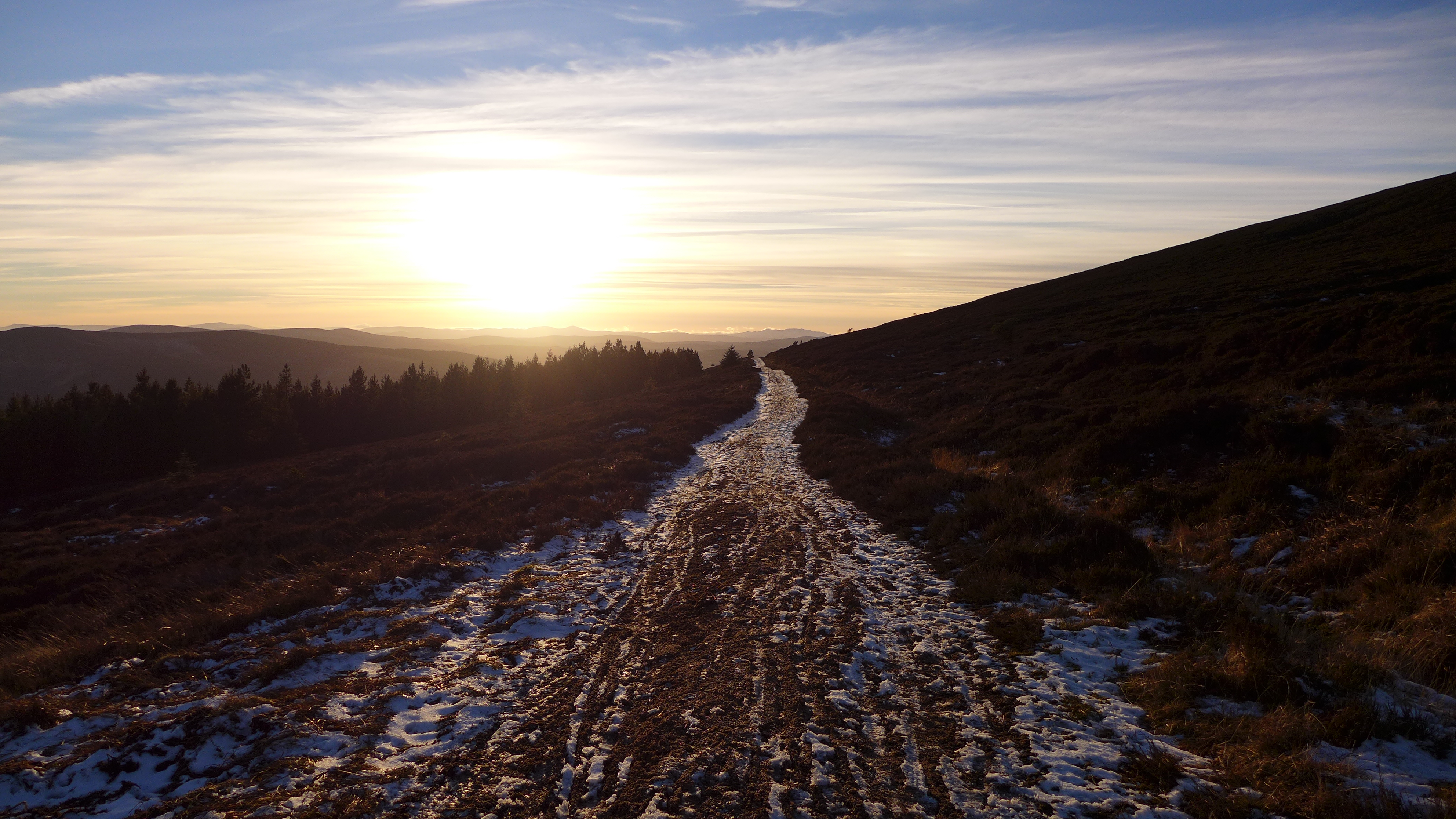
Hilltrack...

Summer Falls
Looking east to Mither Tap
Oxen Craig - summit of Bennachie

Lord Arthur's Hill & The Coreen Hills (10 of 27)
Back to the bin

Oxen Craig
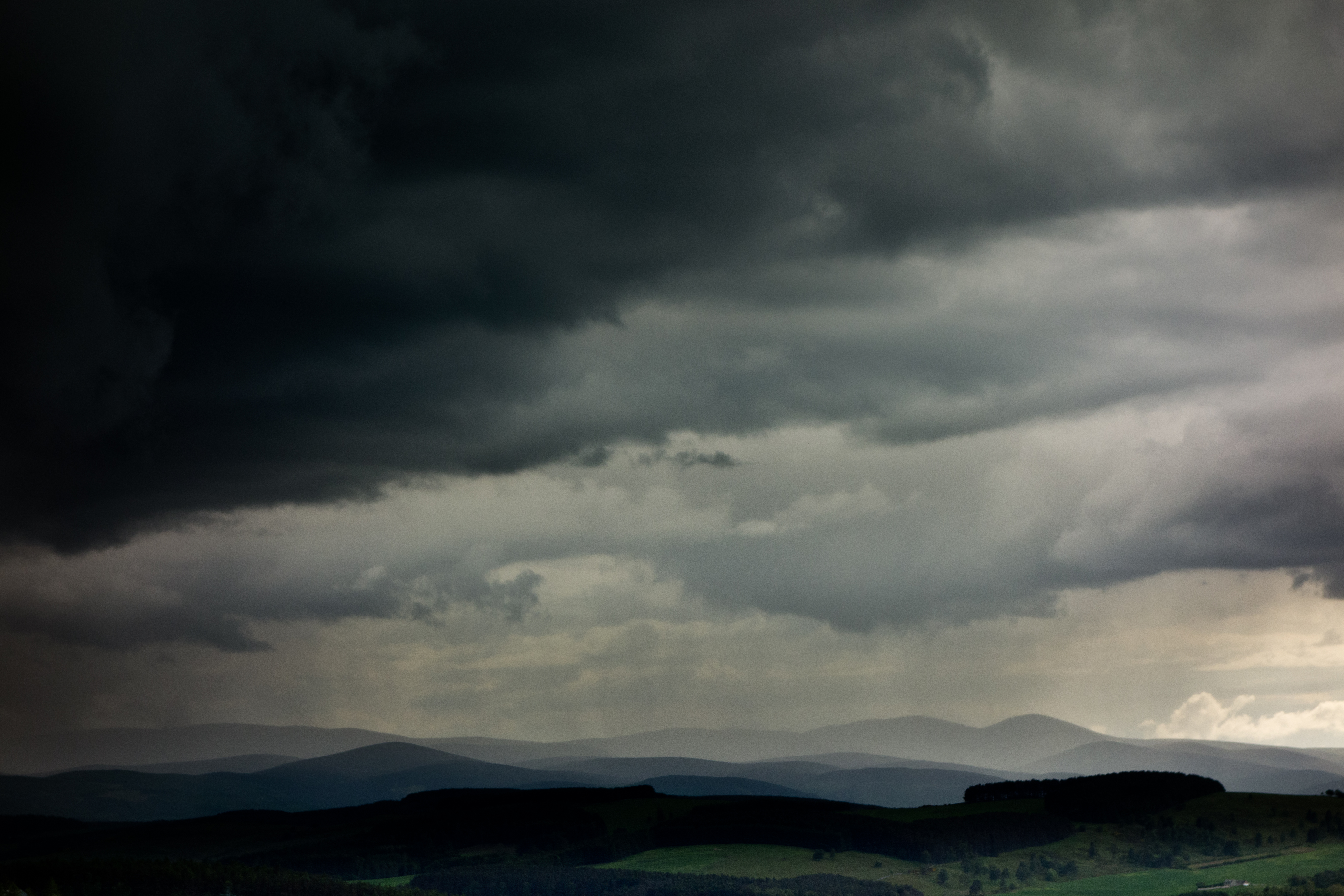
I hear thunder, hark don't you...?
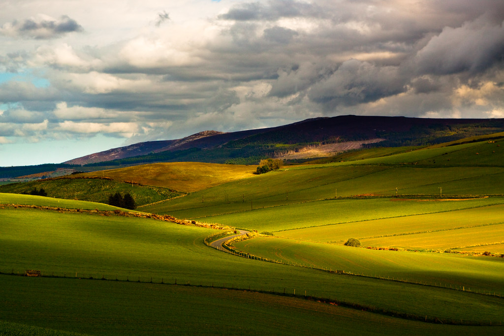
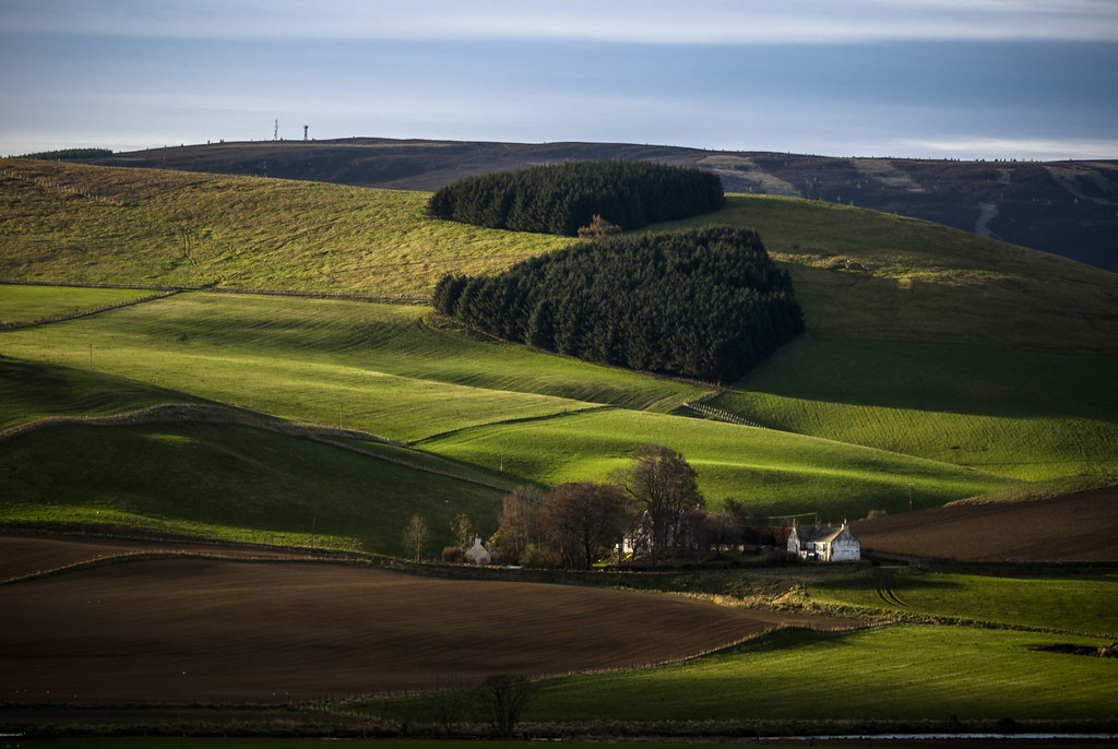
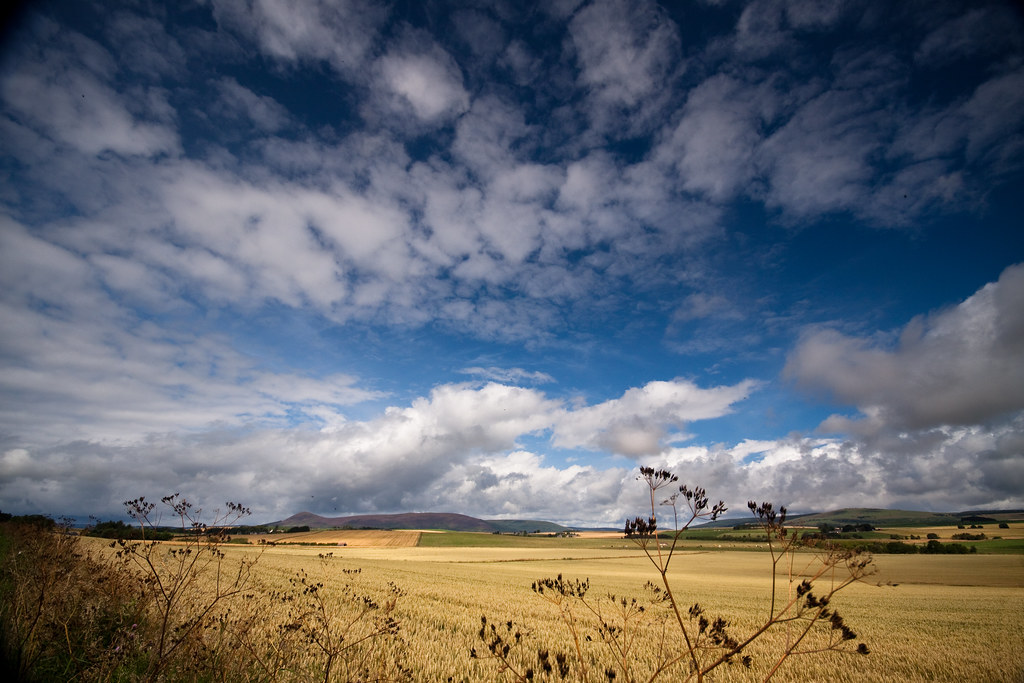
Blue skies over the Vale
Queen's View
Days like these

Lord Arthur's Hill & The Coreen Hills (7 of 27)

We got a good reception today

Lord Arthur's Hill & The Coreen Hills (8 of 27)
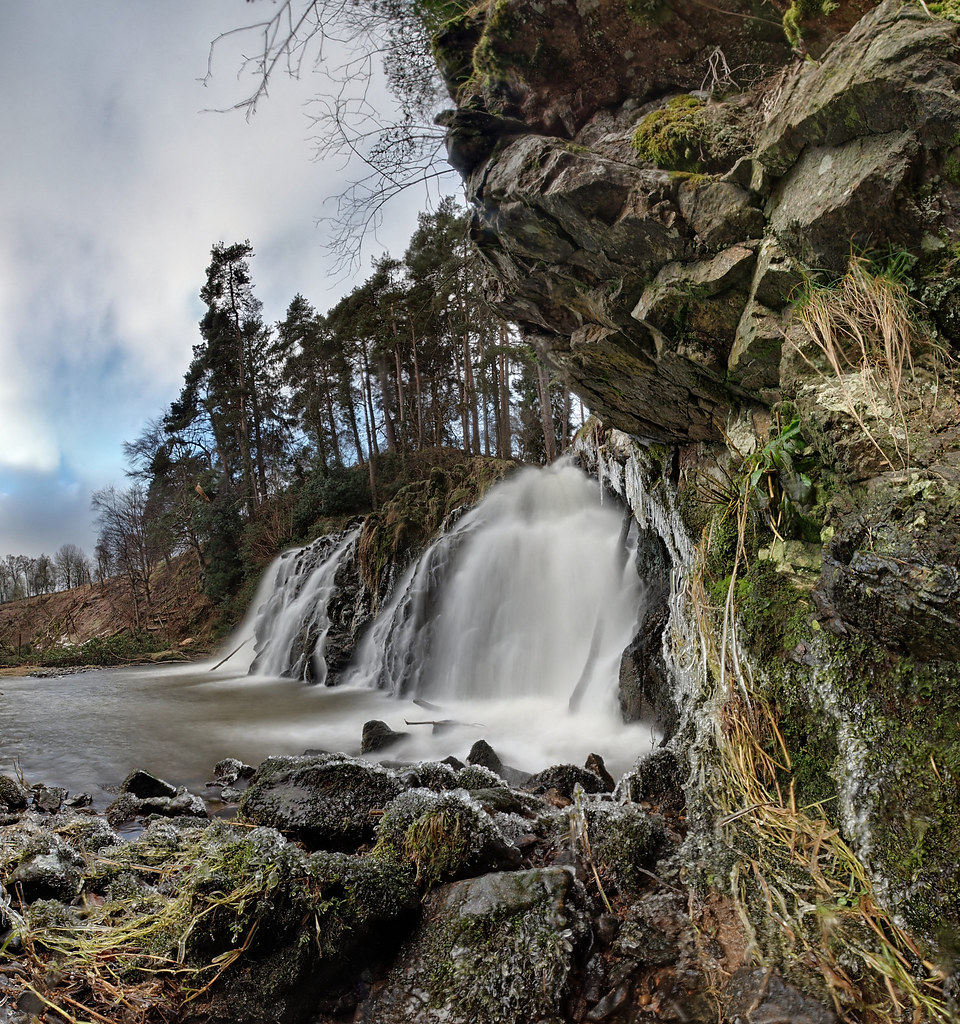
Waterfall (P1300356)
Topographic Map of Wester Fowlis House, Alford AB33 8NP, UK
Find elevation by address:

Places near Wester Fowlis House, Alford AB33 8NP, UK:
Woodside Of Breda
Tullynessle
Muir Of Fowlis
Alford
Ab33 8nu
Mart Industrial Estate
Ab31 4rb
Lumphanan
Ab31 4pw
29 Main Rd, Lumphanan, Banchory AB31 4PW, UK
Foudland Crescent
Insch
Bennachie
Huntly
Monymusk
Inchmarlo
Strachan
Tillyfeugh Manse Croft
Tandara Cottage
Caird's Wynd
Recent Searches:
- Elevation of Corso Fratelli Cairoli, 35, Macerata MC, Italy
- Elevation of Tallevast Rd, Sarasota, FL, USA
- Elevation of 4th St E, Sonoma, CA, USA
- Elevation of Black Hollow Rd, Pennsdale, PA, USA
- Elevation of Oakland Ave, Williamsport, PA, USA
- Elevation of Pedrógão Grande, Portugal
- Elevation of Klee Dr, Martinsburg, WV, USA
- Elevation of Via Roma, Pieranica CR, Italy
- Elevation of Tavkvetili Mountain, Georgia
- Elevation of Hartfords Bluff Cir, Mt Pleasant, SC, USA