Elevation of Muir of Fowlis, Alford AB33, UK
Location: United Kingdom > Scotland > Aberdeenshire >
Longitude: -2.727113
Latitude: 57.198565
Elevation: 183m / 600feet
Barometric Pressure: 99KPa
Elevation Map:
Satellite Map:
Related Photos:

...upon us all a little rain must fall.
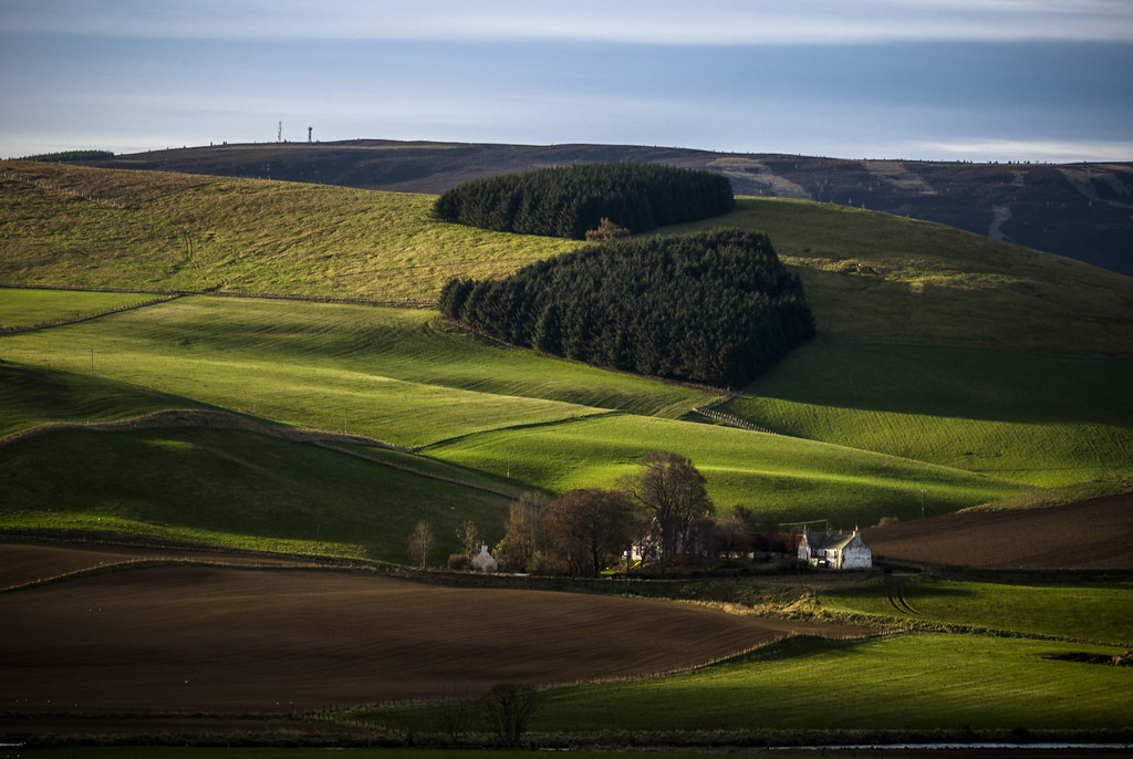
the white farmhouse

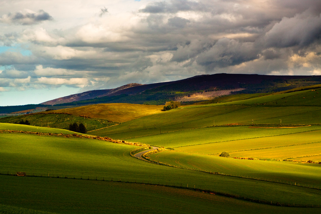
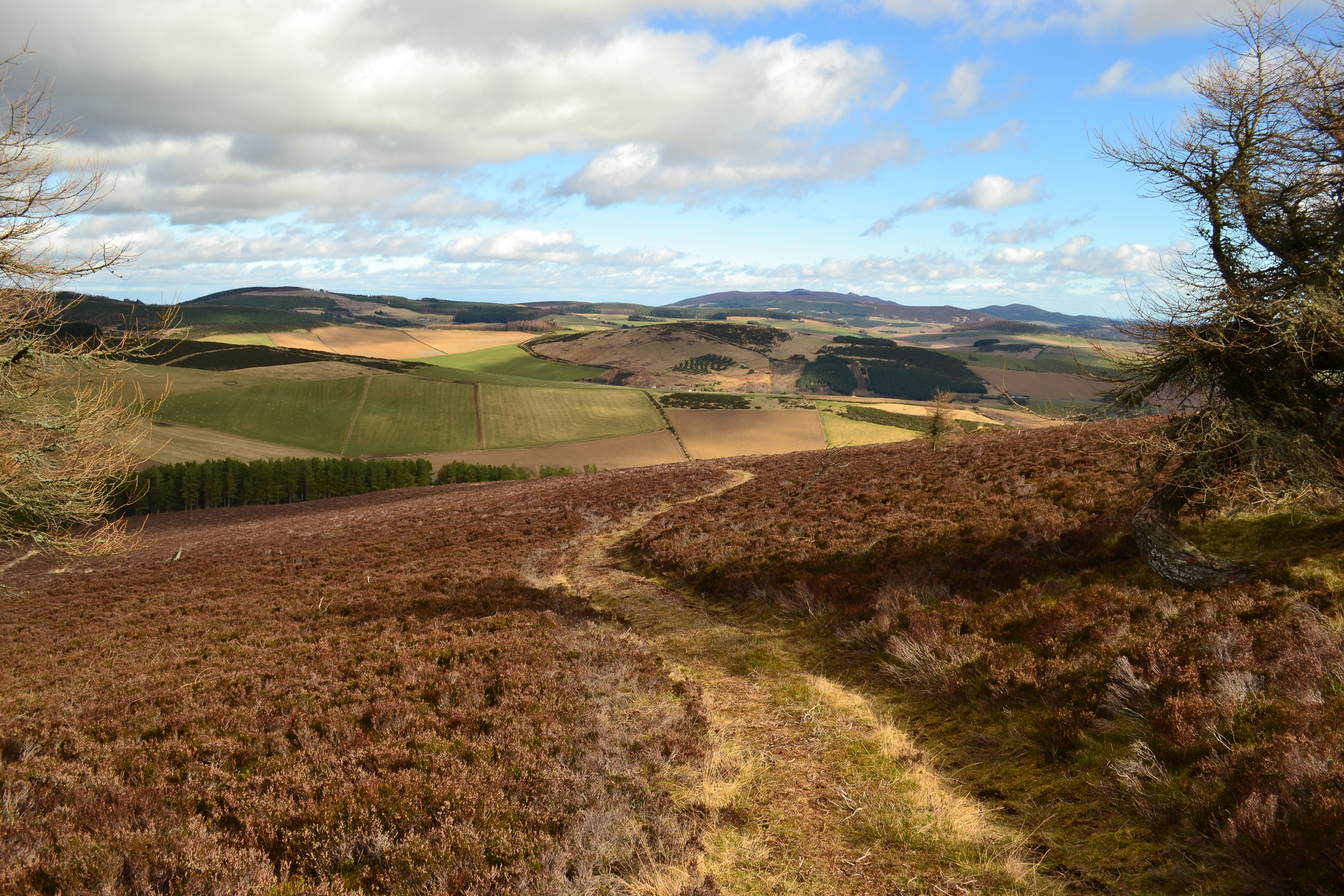
The way to Scare Hill

Queens View 26 May 2009 (3).jpg
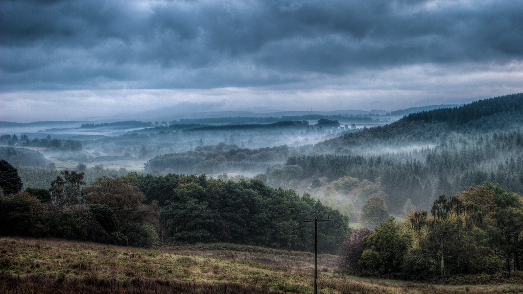
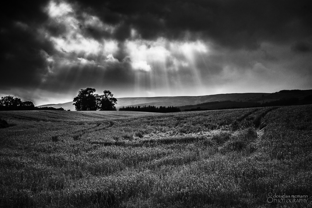
A Misty Start

The "Tap".
The Garioch
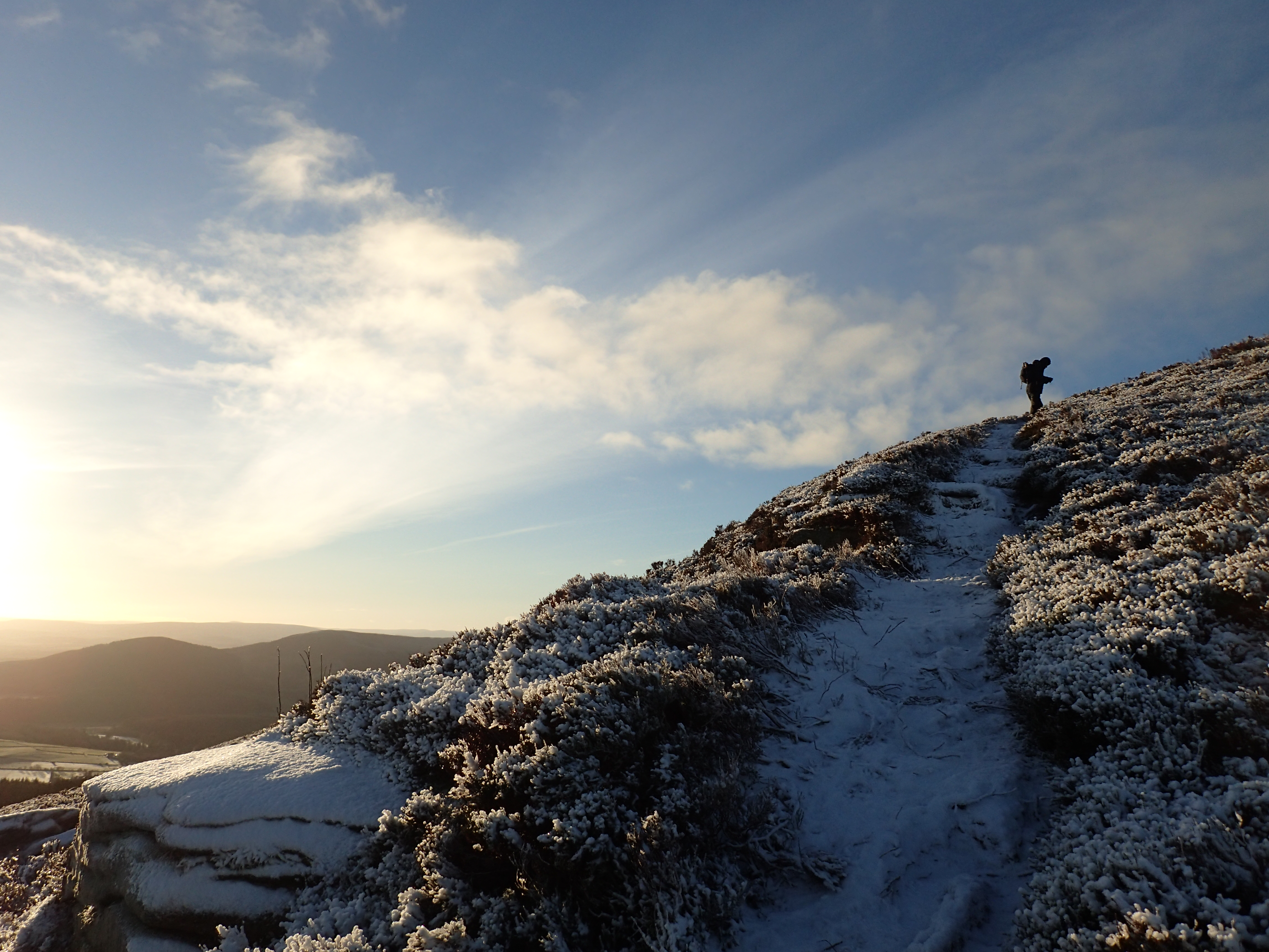
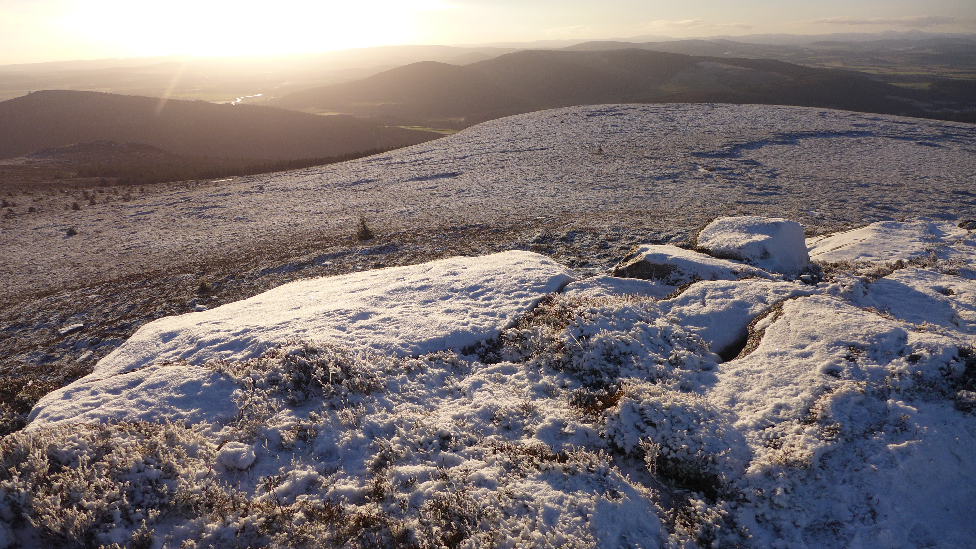
A frosty climb up Watch Craig
Oxen Craig - summit of Bennachie
Wheat Field
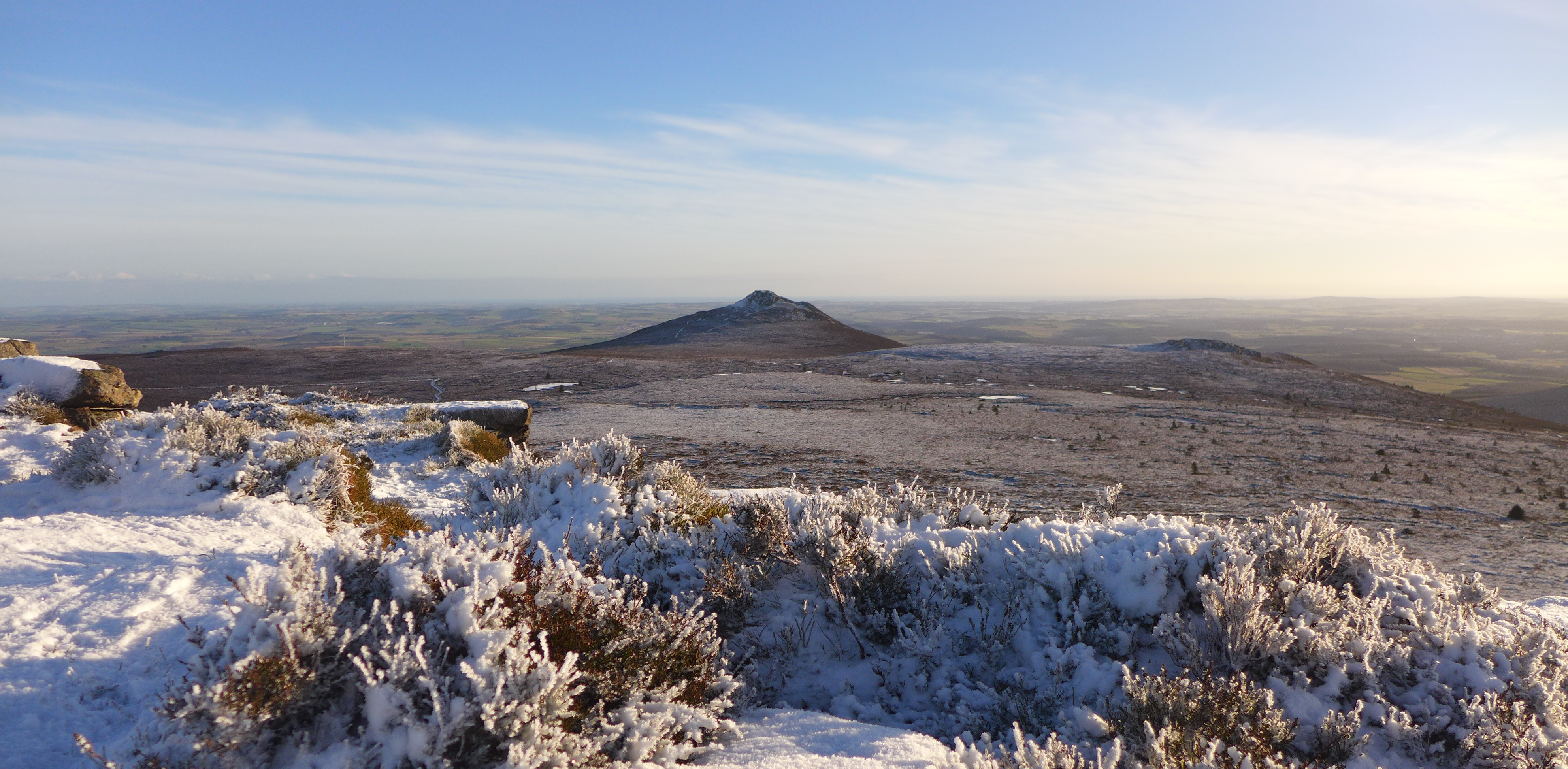
Looking east to Mither Tap

Everything's just beachy ;)
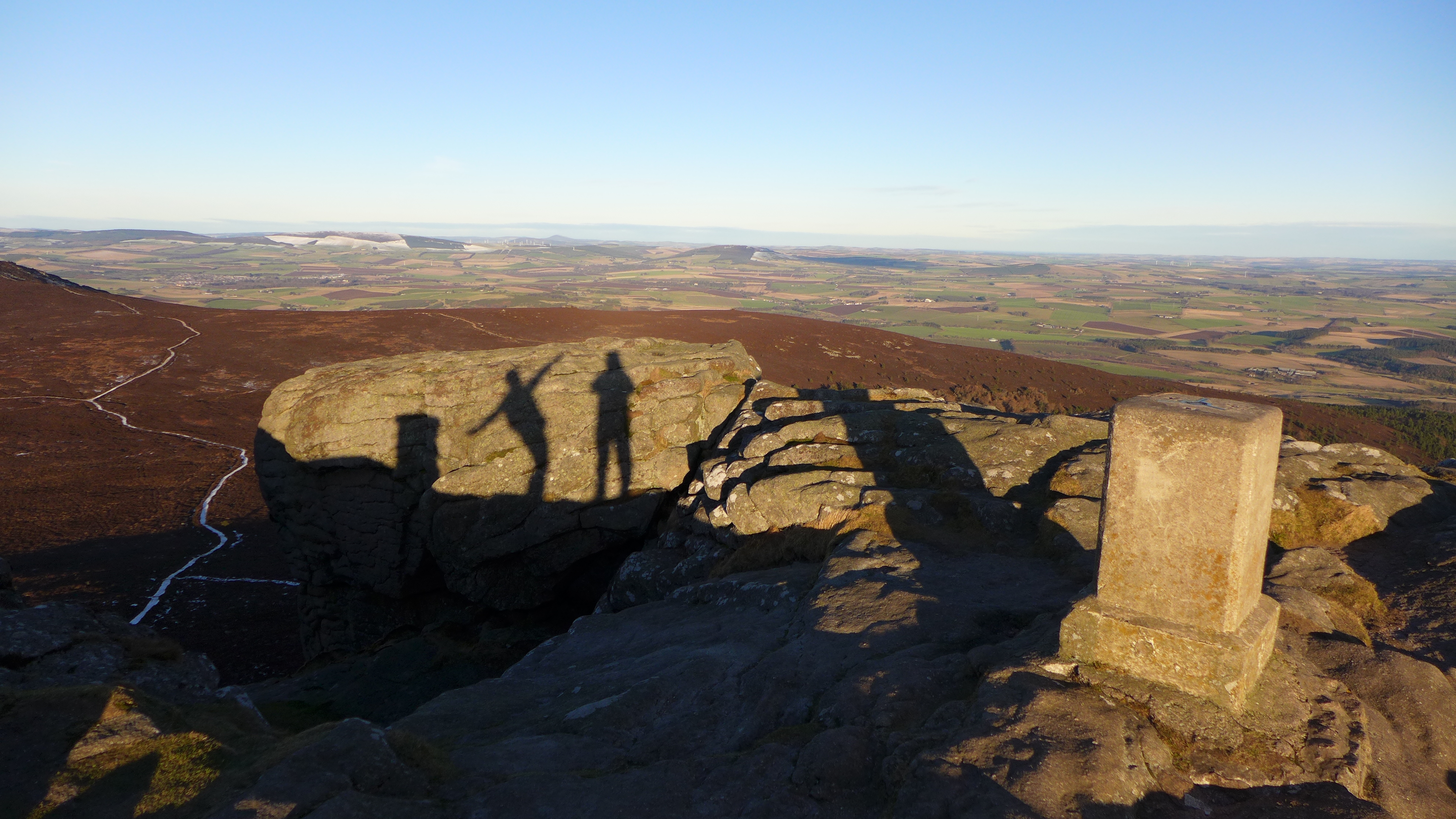
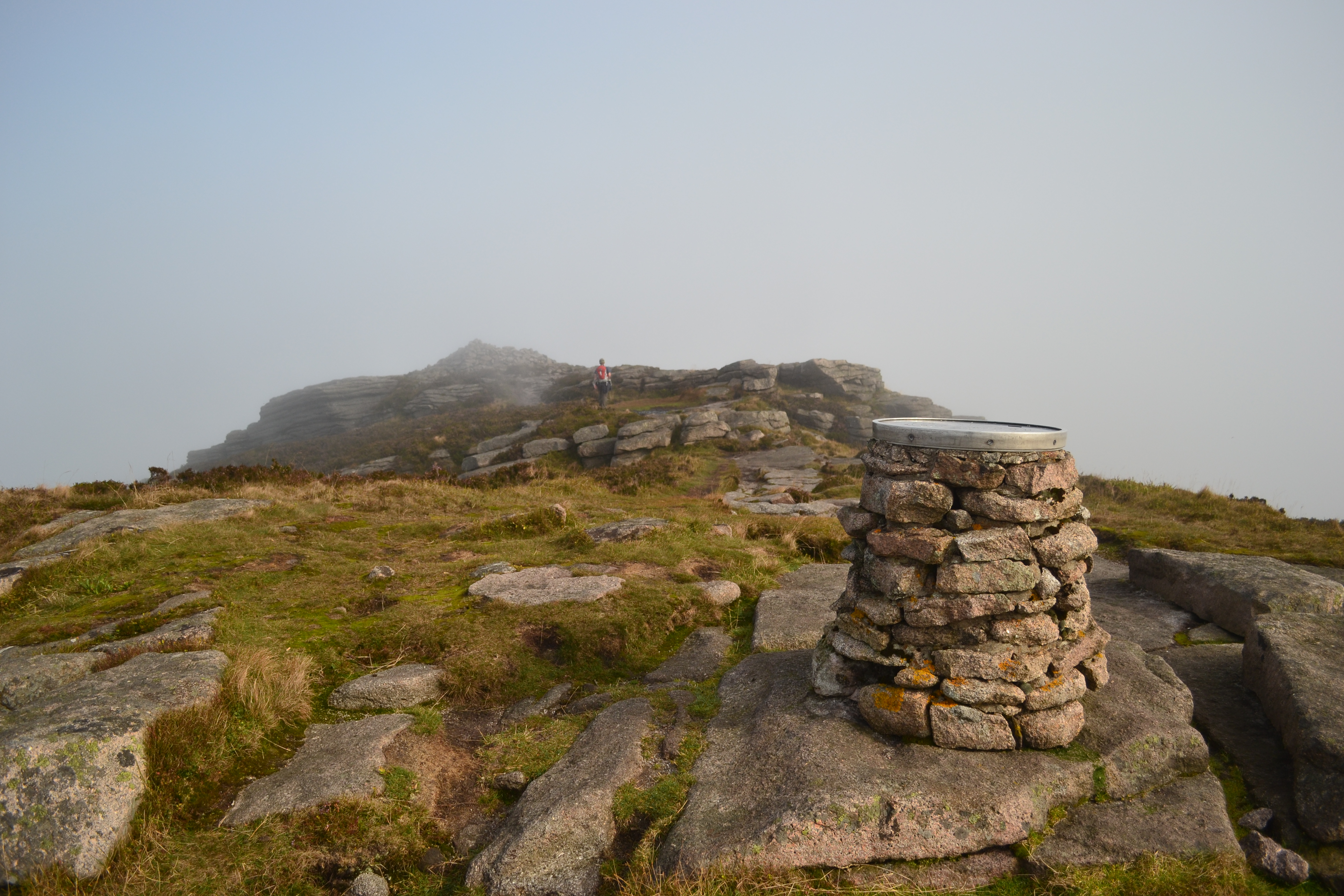
Bennachie trigpoint
View down to Corrie Cairn stone circle from the Correen Hills

Foggy day on Mither Tap

Oxen Craig
Back to the bin

Changing Weather

Cluny Castle Golf Club House 17 Feb 2010

Hilltrack...
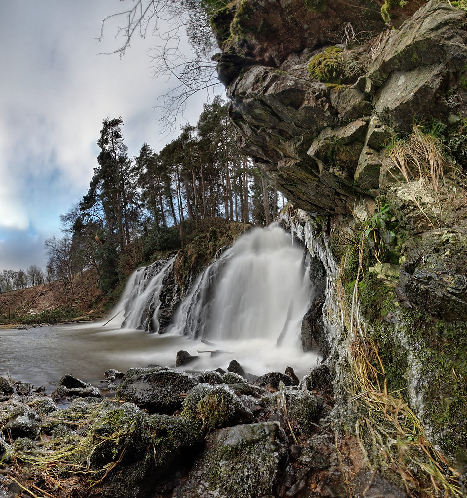
Waterfall (P1300356)
Topographic Map of Muir of Fowlis, Alford AB33, UK
Find elevation by address:

Places in Muir of Fowlis, Alford AB33, UK:
Places near Muir of Fowlis, Alford AB33, UK:
Ab33 8nu
Woodside Of Breda
Wester Fowlis House
Alford
Mart Industrial Estate
Ab31 4rb
Tullynessle
Lumphanan
Ab31 4pw
29 Main Rd, Lumphanan, Banchory AB31 4PW, UK
Bennachie
Foudland Crescent
Insch
Monymusk
Inchmarlo
Huntly
Strachan
Tillyfeugh Manse Croft
Tandara Cottage
Caird's Wynd
Recent Searches:
- Elevation of Corso Fratelli Cairoli, 35, Macerata MC, Italy
- Elevation of Tallevast Rd, Sarasota, FL, USA
- Elevation of 4th St E, Sonoma, CA, USA
- Elevation of Black Hollow Rd, Pennsdale, PA, USA
- Elevation of Oakland Ave, Williamsport, PA, USA
- Elevation of Pedrógão Grande, Portugal
- Elevation of Klee Dr, Martinsburg, WV, USA
- Elevation of Via Roma, Pieranica CR, Italy
- Elevation of Tavkvetili Mountain, Georgia
- Elevation of Hartfords Bluff Cir, Mt Pleasant, SC, USA