Elevation of Westbrook, NC, USA
Location: United States > North Carolina > Sampson County >
Longitude: -78.406973
Latitude: 35.2043472
Elevation: 53m / 174feet
Barometric Pressure: 101KPa
Elevation Map:
Satellite Map:
Related Photos:

Plain View Elem School

When Will Jesus Bring The Pork Chops?

A Look Inside

Back of the school

A view from the trenches

Bentonville 150th_Gray Whitley_7025

Westbrook Grove

Battle of Bentonville 145th Anniversary 12

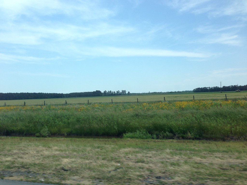
Country Road | Bentonville, NC
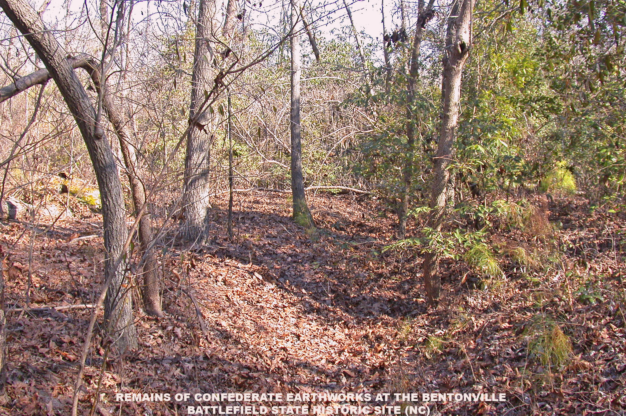
Remains of Confederate Earthworks -- Bentonville (NC)
Carrete-1456

Migrant Farm Laborers (6)
Topographic Map of Westbrook, NC, USA
Find elevation by address:

Places in Westbrook, NC, USA:
Places near Westbrook, NC, USA:
Rosin Hill Rd, Newton Grove, NC, USA
Harnett-Dunn Hwy, Dunn, NC, USA
NC-55, Dunn, NC, USA
5458 Plain View Hwy
Plain View Hwy, Godwin, NC, USA
1585 Pope Rd
1564 Joe Pope Rd
Averasboro
Dunn
S West St, Falcon, NC, USA
1225 Erwin Rd
Duke
1687 Chicora Rd
6670 Stargaze Ln
Erwin
Linden, NC, USA
4005 Church St
Wade
Church Street
2017 State Rd 1714
Recent Searches:
- Elevation of Corso Fratelli Cairoli, 35, Macerata MC, Italy
- Elevation of Tallevast Rd, Sarasota, FL, USA
- Elevation of 4th St E, Sonoma, CA, USA
- Elevation of Black Hollow Rd, Pennsdale, PA, USA
- Elevation of Oakland Ave, Williamsport, PA, USA
- Elevation of Pedrógão Grande, Portugal
- Elevation of Klee Dr, Martinsburg, WV, USA
- Elevation of Via Roma, Pieranica CR, Italy
- Elevation of Tavkvetili Mountain, Georgia
- Elevation of Hartfords Bluff Cir, Mt Pleasant, SC, USA