Elevation of Harnett-Dunn Hwy, Dunn, NC, USA
Location: United States > North Carolina > Sampson County > Newton Grove >
Longitude: -78.408557
Latitude: 35.247477
Elevation: 59m / 194feet
Barometric Pressure: 101KPa
Elevation Map:
Satellite Map:
Related Photos:

Plain View Elem School
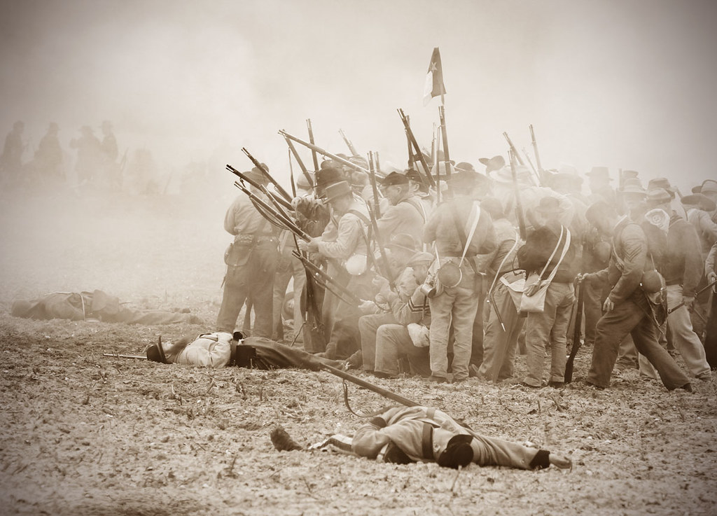
Bentonville 150th_Gray Whitley_7025

When Will Jesus Bring The Pork Chops?

A Look Inside

Back of the school

A view from the trenches
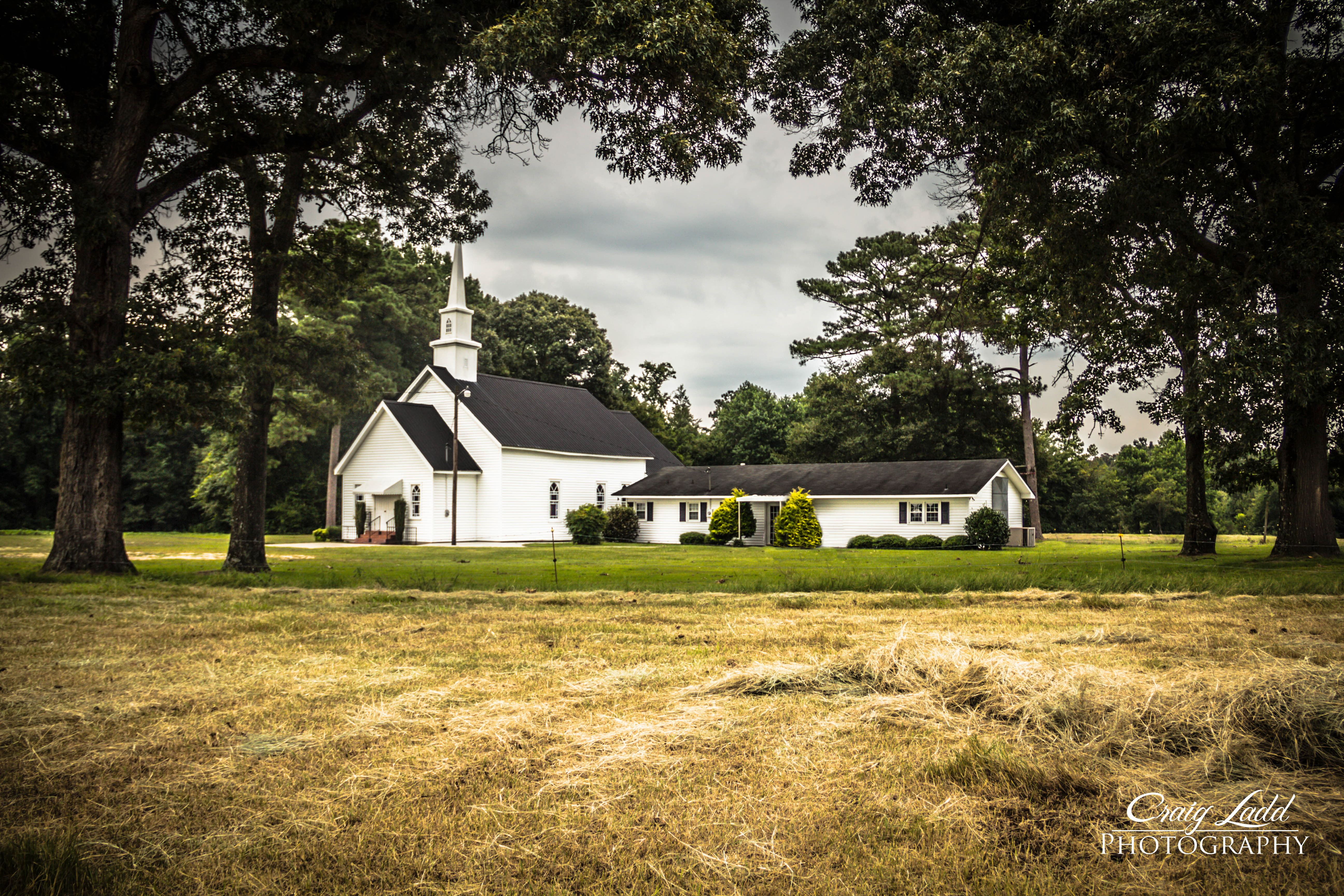
Westbrook Grove
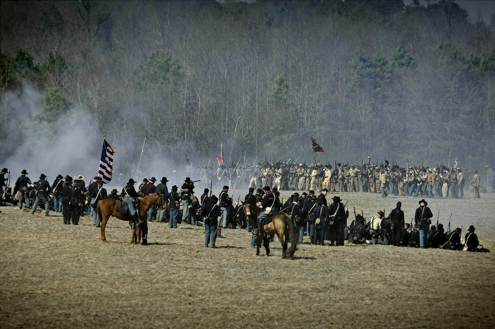
Battle of Bentonville 145th Anniversary 12
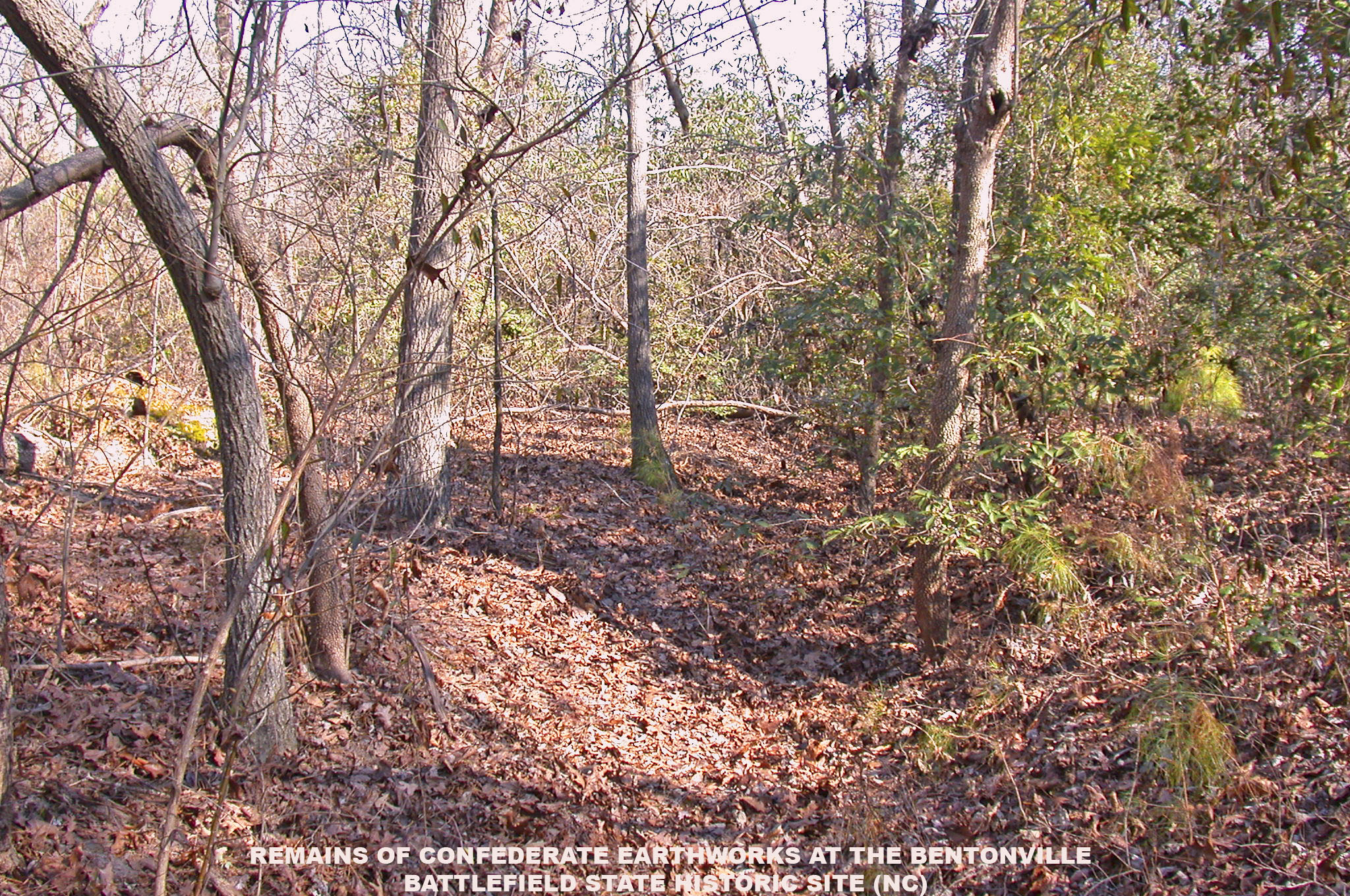
Remains of Confederate Earthworks -- Bentonville (NC)

Migrant Farm Laborers (6)
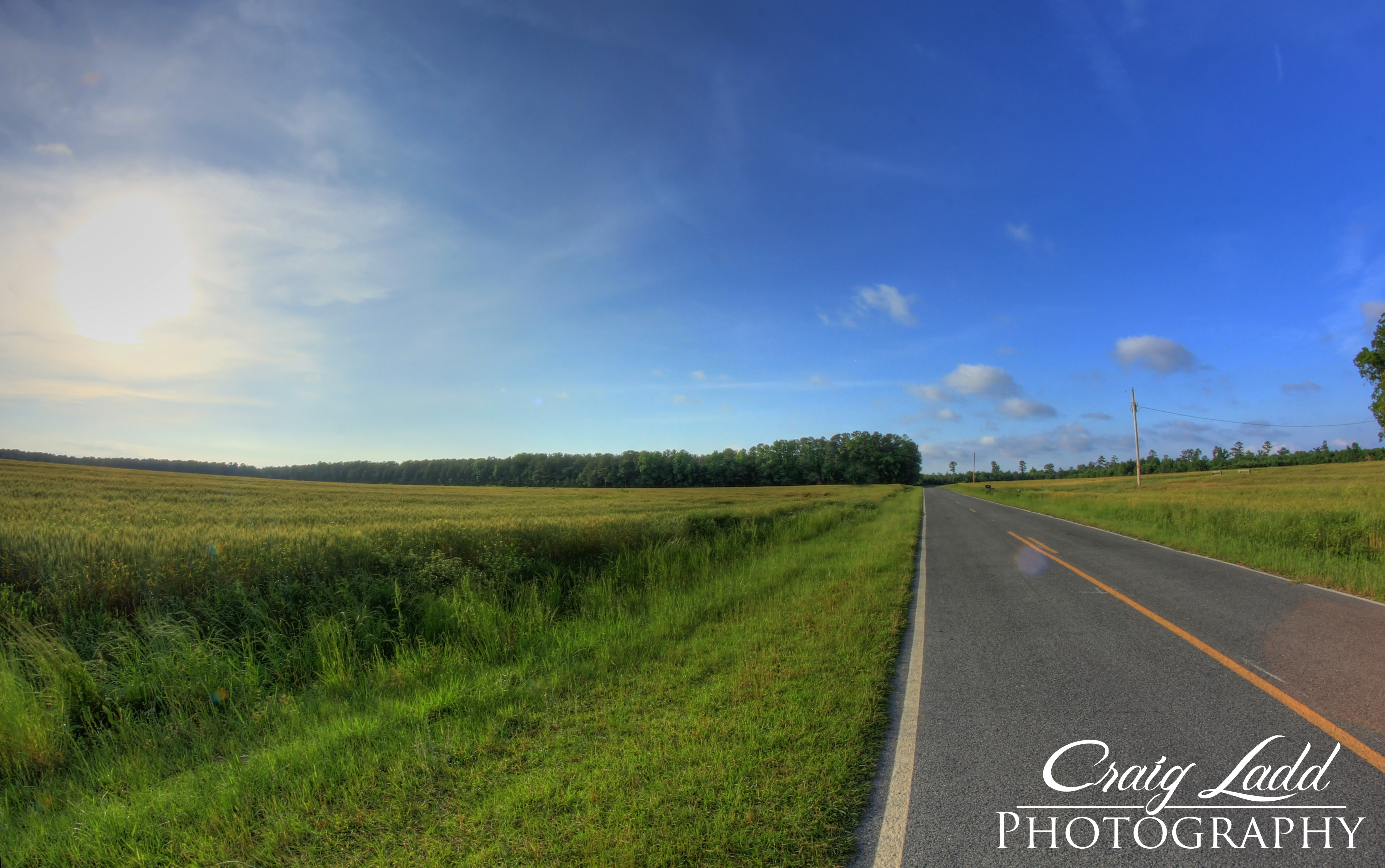
Country Road | Bentonville, NC
Carrete-1456
Topographic Map of Harnett-Dunn Hwy, Dunn, NC, USA
Find elevation by address:

Places near Harnett-Dunn Hwy, Dunn, NC, USA:
Rosin Hill Rd, Newton Grove, NC, USA
Westbrook
NC-55, Dunn, NC, USA
5458 Plain View Hwy
Plain View Hwy, Godwin, NC, USA
1585 Pope Rd
1564 Joe Pope Rd
Averasboro
Dunn
S West St, Falcon, NC, USA
1225 Erwin Rd
Duke
1687 Chicora Rd
Erwin
6670 Stargaze Ln
Linden, NC, USA
4005 Church St
Wade
Linden
Church Street
Recent Searches:
- Elevation of Corso Fratelli Cairoli, 35, Macerata MC, Italy
- Elevation of Tallevast Rd, Sarasota, FL, USA
- Elevation of 4th St E, Sonoma, CA, USA
- Elevation of Black Hollow Rd, Pennsdale, PA, USA
- Elevation of Oakland Ave, Williamsport, PA, USA
- Elevation of Pedrógão Grande, Portugal
- Elevation of Klee Dr, Martinsburg, WV, USA
- Elevation of Via Roma, Pieranica CR, Italy
- Elevation of Tavkvetili Mountain, Georgia
- Elevation of Hartfords Bluff Cir, Mt Pleasant, SC, USA