Elevation of West Sunbury, PA, USA
Location: United States > Pennsylvania > Butler County > Clay Township >
Longitude: -79.8961647
Latitude: 41.0072854
Elevation: 422m / 1385feet
Barometric Pressure: 0KPa
Related Photos:

Pennsylvania ~ Prospect
Pennsylvania ~ Mount Chestnut

Sausage!

Slippery Rock Panorama - Night

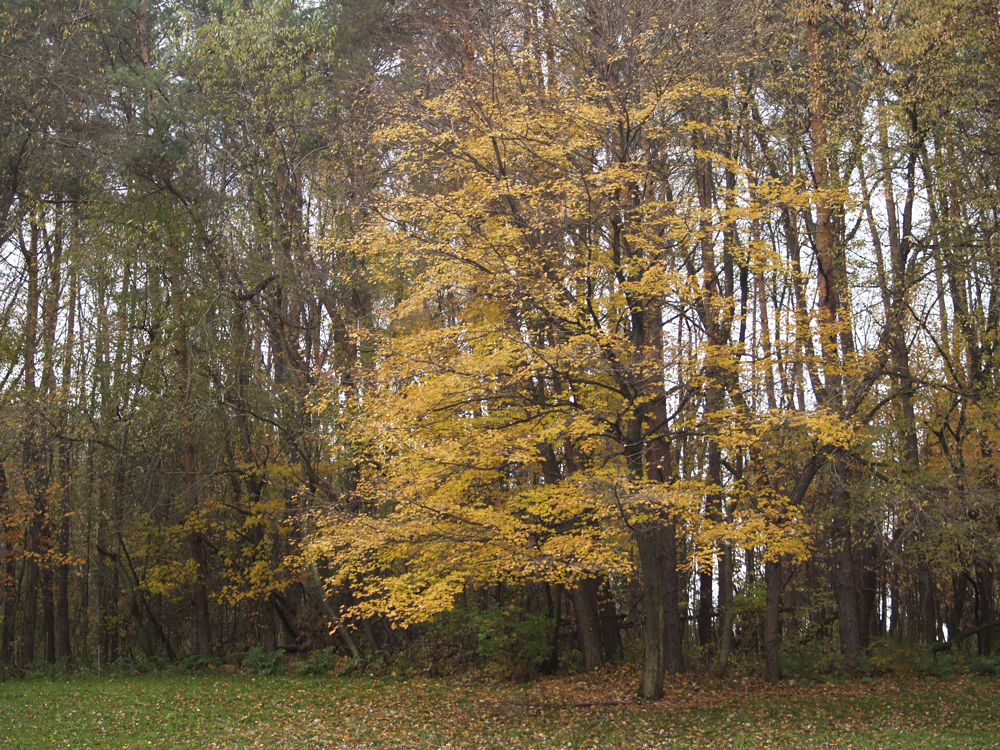
Fall is crumbling

Exquisitely Braided Mane

it's an open mic

Classic Bard
View from the window

View from the balcony

Jeep Rear View - IMGP9873

View From The Corner Of Midway & Grandstand - IMGP9734
View From The Corner Of Midway & Grandstand - IMGP9736
long view 8884

The View

New Apartment View

through a hexagonal pane

a rich forest in a little side valley of Slippery Rock Creek

limey sandstone outcrops

habitat for Gomphus fraternus
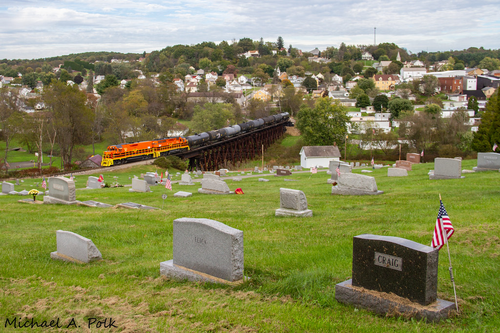
BPRR 121 @ Chicora, PA

Buffalo & Pittsburgh EMD GP40-2 3020

Buffalo & Pittsburgh EMD GP40 3119
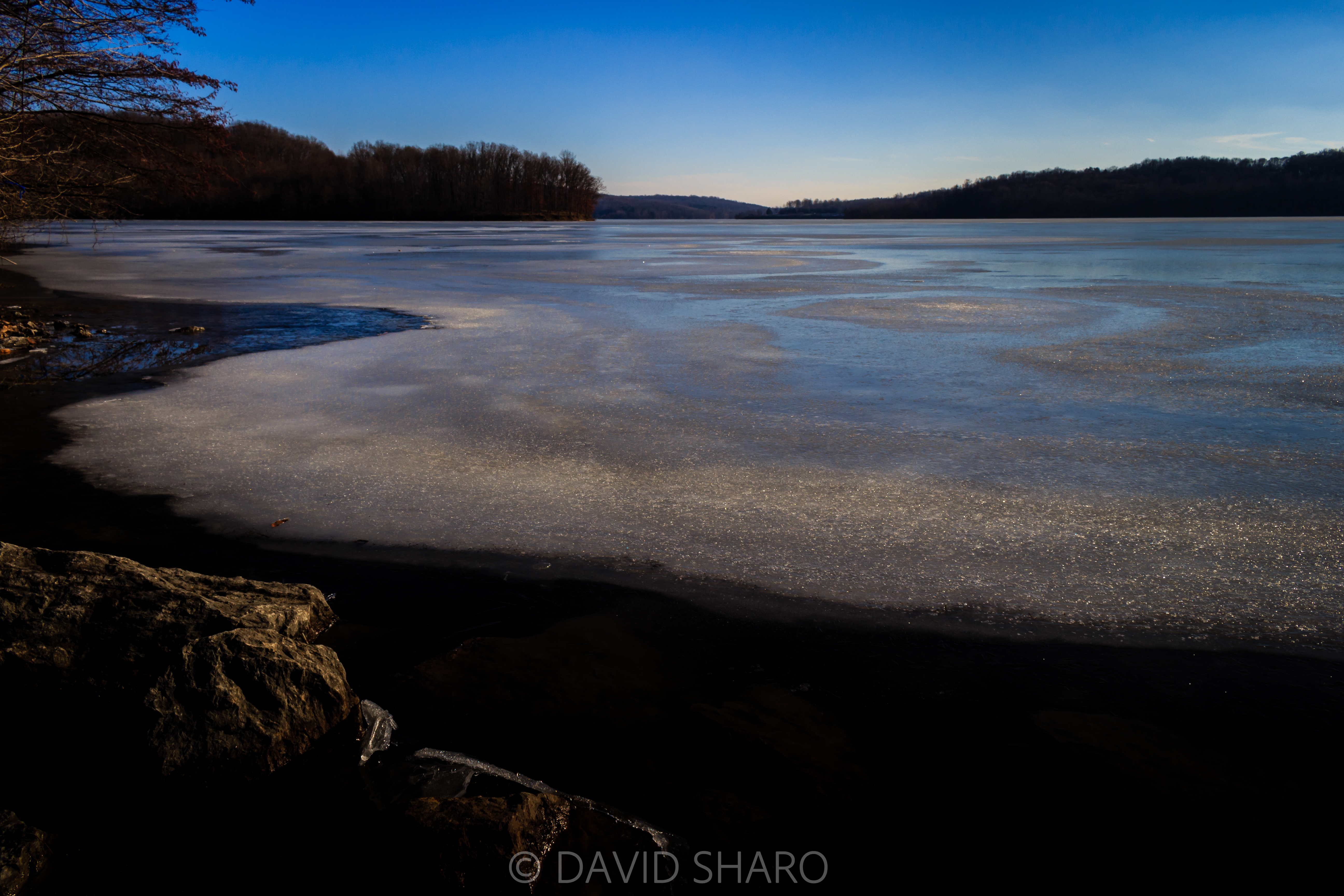
Lake Ice

magenta sky
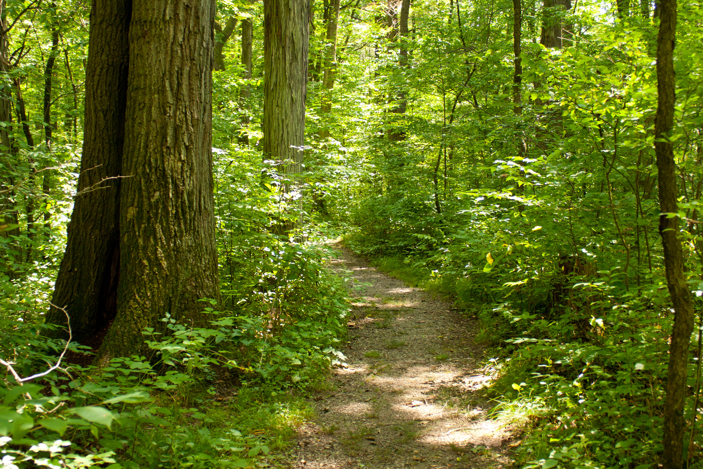
A hiking trail winds past a large tree in sun dappled forest at Jennings Environmental Education Center, Pennsylvania.

The purple spikes of blazing star flowers spread across the prairie at Jennings Environmental Education Center, Pennsylvania.

Petrolia Local
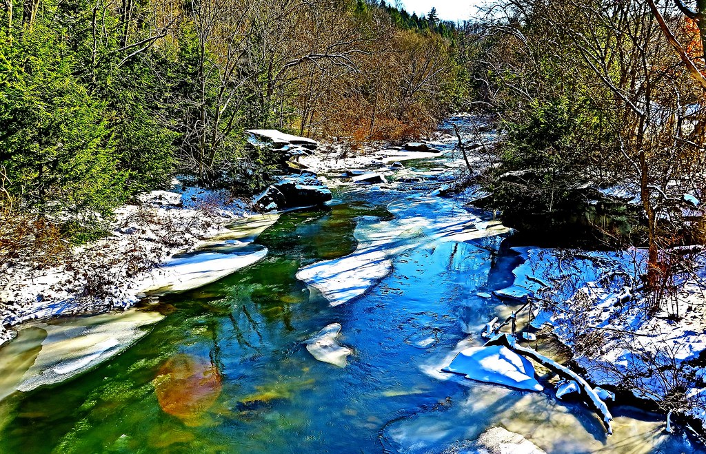
Bear Creek north of Bruin PA

Judo tournament at Slippery Rock University

Judo tournament at Slippery Rock University

Lake Arthur
From a Gas Station in Chicora PA

Sunrise at Lake Arthur
[earth-marathon-blog:01503] キツイわ!

Tammy McGaughey
[earth-marathon-blog:01500] 当然。

528-bridge
Topographic Map of West Sunbury, PA, USA
Find elevation by address:

Places in West Sunbury, PA, USA:
Places near West Sunbury, PA, USA:
W Sunbury Rd, West Sunbury, PA, USA
Thompsontown Rd, West Sunbury, PA, USA
201 Byers Rd
Clay Township
Concord Township
Washington Township
Cherry Township
Brady Hills Mobile Home Park
Hallston Rd, Slippery Rock, PA, USA
North Washington
250 Blair Rd
Railroad St, Hilliards, PA, USA
Hilliards
Brady Township
1857 Branchton Rd
Higgins Rd, Hilliards, PA, USA
155 Mohawk Trail
161 Mohawk Trail
Slippery Rock Township
Wick Rd, Slippery Rock, PA, USA
Recent Searches:
- Elevation of Pasing, Munich, Bavaria, 81241, Germany
- Elevation of 24, Auburn Bay Crescent SE, Auburn Bay, Calgary, Alberta, T3M 0A6, Canada
- Elevation of Denver, 2314, Arapahoe Street, Five Points, Denver, Colorado, 80205, USA
- Elevation of Community of the Beatitudes, 2924, West 43rd Avenue, Sunnyside, Denver, Colorado, 80211, USA
- Elevation map of Litang County, Sichuan, China
- Elevation map of Madoi County, Qinghai, China
- Elevation of 3314, Ohio State Route 114, Payne, Paulding County, Ohio, 45880, USA
- Elevation of Sarahills Drive, Saratoga, Santa Clara County, California, 95070, USA
- Elevation of Town of Bombay, Franklin County, New York, USA
- Elevation of 9, Convent Lane, Center Moriches, Suffolk County, New York, 11934, USA
- Elevation of Saint Angelas Convent, 9, Convent Lane, Center Moriches, Suffolk County, New York, 11934, USA
- Elevation of 131st Street Southwest, Mukilteo, Snohomish County, Washington, 98275, USA
- Elevation of 304, Harrison Road, Naples, Cumberland County, Maine, 04055, USA
- Elevation of 2362, Timber Ridge Road, Harrisburg, Cabarrus County, North Carolina, 28075, USA
- Elevation of Ridge Road, Marshalltown, Marshall County, Iowa, 50158, USA
- Elevation of 2459, Misty Shadows Drive, Pigeon Forge, Sevier County, Tennessee, 37862, USA
- Elevation of 8043, Brightwater Way, Spring Hill, Williamson County, Tennessee, 37179, USA
- Elevation of Starkweather Road, San Luis, Costilla County, Colorado, 81152, USA
- Elevation of 5277, Woodside Drive, Baton Rouge, East Baton Rouge Parish, Louisiana, 70808, USA
- Elevation of 1139, Curtin Street, Shepherd Park Plaza, Houston, Harris County, Texas, 77018, USA