Elevation of West Point, IN, USA

Location: United States > Indiana > Tippecanoe County > Wayne Township >

Longitude: -87.042898

Latitude: 40.3449627

Elevation: 205m / 673feet

Barometric Pressure: 99KPa

Elevation Map:

elevation map of West Point, IN, USA
Satellite Map:

Satellite map of West Point, IN, USA
Related Photos:

mygearandme mygearandmepremium mygearandmebronze mygearandmesilver mygearandmegold
modern Hoosiers
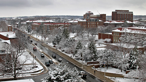
white snow wet canon march snowstorm indiana fresh westlafayette purdueuniversity
Purdue University after fresh snowfall
Big Mac Attack in Lafayette, IN!
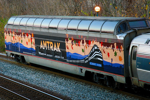
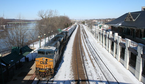
railroad train canon observation lafayette cardinal indiana amtrak passenger oceanview passengercar greatdome domecar
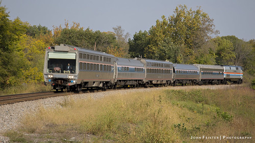
Amtrak Great Dome Car - Lafayette, Indiana
Today, it's a street...
127 TIPPECANOE SCHOOL CORP -C
railroad train canon lafayette tour special amtrak passenger viewliner hoosierstate officecar americanview p951 p95101
Amtrak Office Car Special
panorama snow canon downtown lafayette indiana birdseye westlafayette
West Lafayette, Indiana Panorama
panorama canon union indiana westlafayette purdueuniversity hawkinshall
Purdue University Panorama
pcusa stophungernow uploaded:by=flickrmobile flickriosapp:filter=nofilter purduearmory pyt13
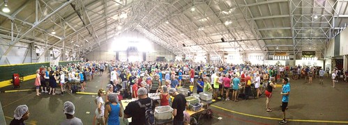
Check out this view from the stage at Stop Hunger Now at 2013 Presbyterian Youth Triennium
west water canon river spring lafayette flood indiana damage williamsburg wabashriver {vision}:{outdoor}=0923 {vision}:{sky}=0663 {vision}:{car}=0809 {vision}:{sunset}=054 {vision}:{beach}=058
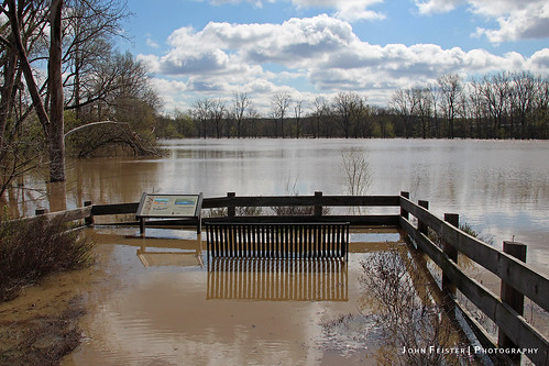
Pick your poison
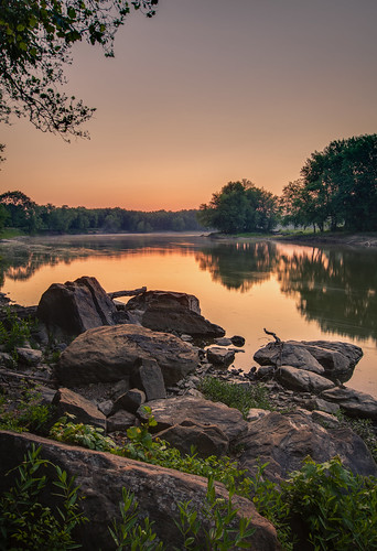
usa reflection water sunrise river rocks unitedstates unitedstatesofamerica indiana riverbank wabash blackrock wabashriver blackrocknaturepreserve nicheslandtrust
Early Morning
house geotagged tippecanoecounty lafayetteindiana sp570uz mosesfowler
Moses Fowler House
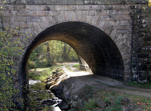
road railroad creek underpass geotagged indiana olympus blueribbonwinner fountaincounty abigfave anawesomeshot impressedbeauty diamondclassphotographer flickrdiamond sp550uz olympussp550uz
Railroad Underpass
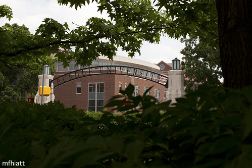
college campus gate university engineering indiana purdue westlafayette neilarmstrong 2011yip 3652011 2011inphotos
Good old P.U. | 168/365
xray 365 dnd365
365 #355
Yeah, it's going to be cold up there, dress warm!
panorama west building eye tower clock college birds canon campus hall ross university lafayette view bell stadium indiana fraternity aerial arena math purdue elliot ade birdseye makey
Purdue University Panorama
Panorama View of Two-Stage Ditch (10/18/2012)
View over Purdue
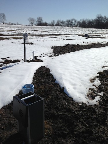
March 8, 2013. View from the outlet drainage structure looking towards the field (back to ditch).
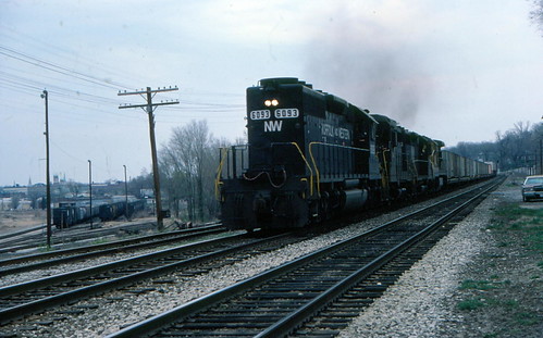
Hoosierland Wayfreight
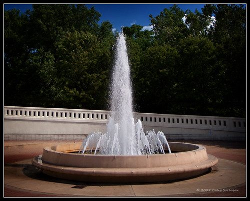
park blue trees summer sky usa white green water fountain canon landscape outdoors eos fb indiana waterfountain 2009 westlafayette riehleplaza 50d efs1755mmf28isusm tapawingopark craigsorenson 20090716040003z
Rise Up
usa nature unitedstates indiana westlafayette
The Yellow Road
1401
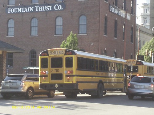
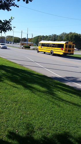
Tippecanoe School Corporation 2014 IC CE #1401 one of 5 IC CE BUSES 1401-05
DSC_0934-1
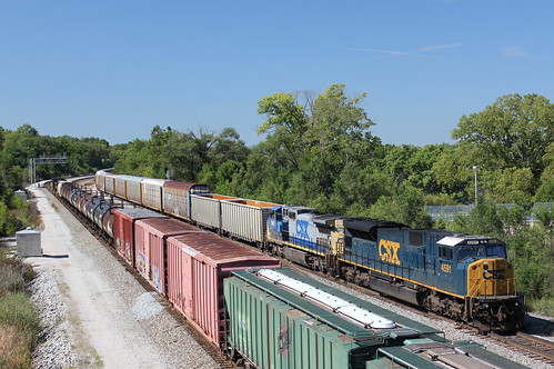
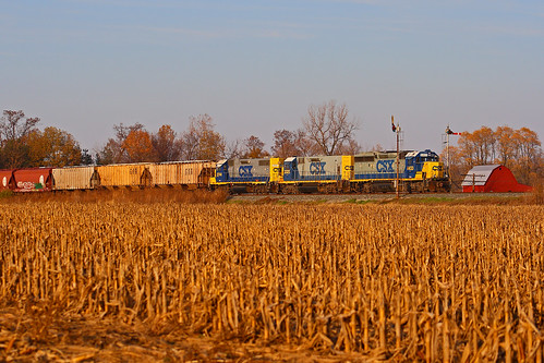
CSX G04125
DSC_0935-1
sunset weeklysurvivor
smoke rising from the sun touching earth
flowers sunset indiana wildflowers westlafayette indiancreekbasin nicheslandtrust
Ever Seeking
square squareformat walden iphoneography instagramapp uploaded:by=instagram foursquare:venue=4b95538ef964a520939c34e3
Empty parking lots look weird in the middle of the day. #springbreak
Hay Bales
square squareformat earlybird iphoneography instagramapp uploaded:by=instagram foursquare:venue=4fef8f48e4b06603727348fb
"Ugh. This is forced. YOU'RE NOT CREATING MEMORIES!" -Dylan watching a family play football on thanksgiving.
square squareformat iphoneography instagramapp uploaded:by=instagram foursquare:venue=1513651
Beautiful Sunset
forest unitedstates indiana westlafayette martell
Kevin_Saker_141025_IMG_2663.jpg
nature forest
Misty Woods
morning fog spring indiana purdue westlafayette
Spring Fog
trees leaves woods
Woods near the Celery Bog
day partlycloudy
Silver Lining
Lafayette Sunrise
indiana wetland westlafayette celerybog
Celery Bog 6