Elevation of E N, Attica, IN, USA
Location: United States > Indiana > Fountain County > Logan Township > Attica >
Longitude: -87.165837
Latitude: 40.3995084
Elevation: 216m / 709feet
Barometric Pressure: 99KPa
Elevation Map:
Satellite Map:
Related Photos:

modern Hoosiers

General view of the motorcycle show
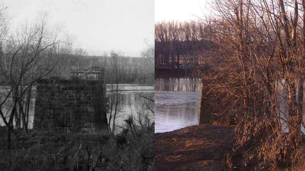
Chicago, Attica & Southern Abutments, Attica, Indiana
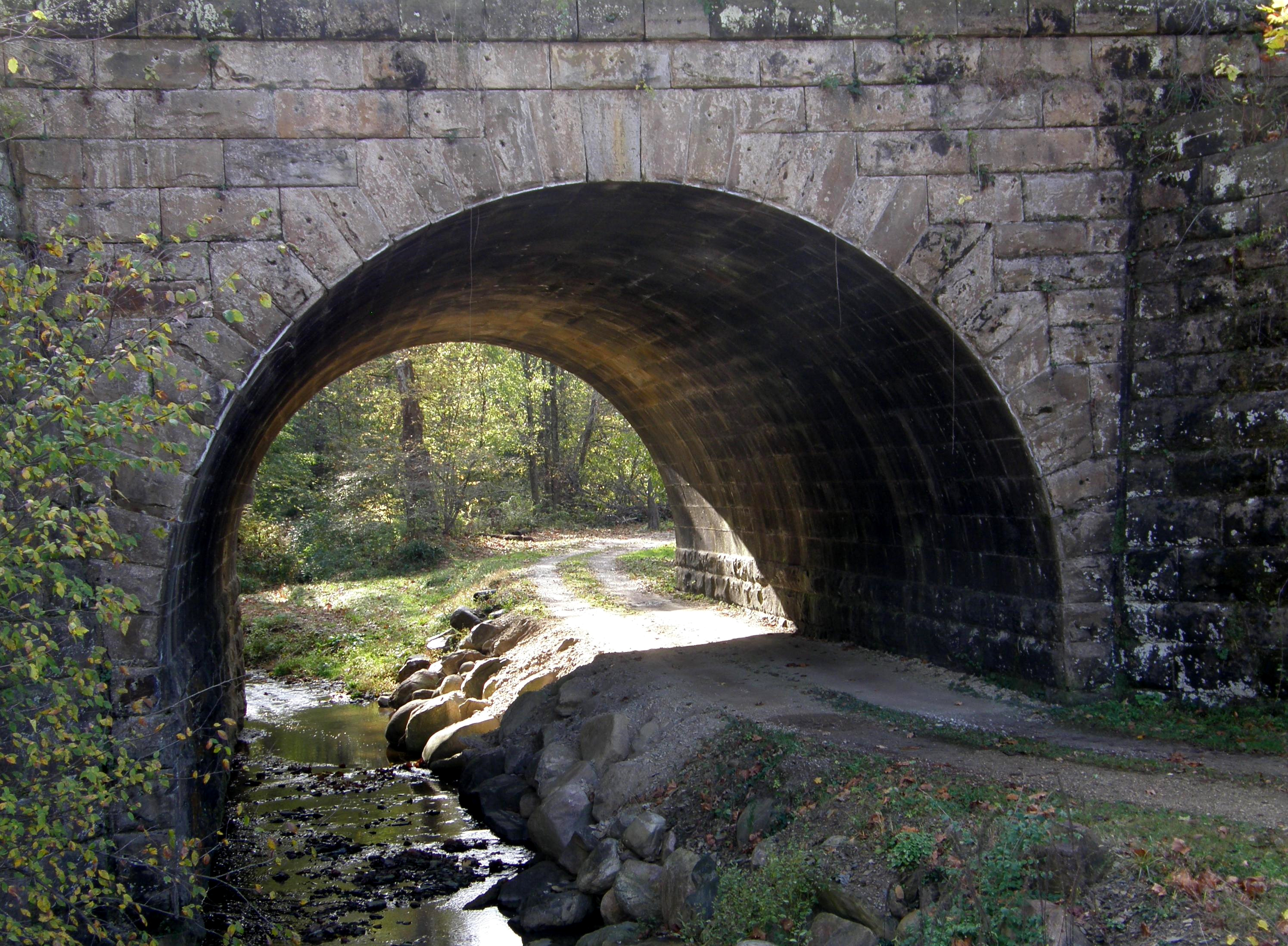
Railroad Underpass

Early Morning

General view of the car show

General view of the car show

General view of the car show

365 #86 - Wabash River

Where The Cards Fall

Fall Creek Gorge

Fall Creek Gorge

Fall Creek Gorge

NKP 765

Potholes on an autumn afternoon

Crash And Flow

Ever Seeking

Road to Mudlavia Springs

Somewhere between day and night

Late summer in Fall Creek Gorge

Sunny Indiana Winter Afternoon

Fall Creek Gorge Indiana

Fall Creek Gorge Indiana

Wabash River

The Potholes by Robert Ripma

The Way Things Move

Ever-Fall

Fall Creek Gorge, aka The Potholes

July Skies

Front of Building - Exterior
Topographic Map of E N, Attica, IN, USA
Find elevation by address:

Places near E N, Attica, IN, USA:
N Cicott Rd, Attica, IN, USA
Medina Township
Wayne Township
Indiana 25
Glenhall Rd, West Point, IN, USA
West Point
2511 W 550 S
Purdue University
1101 3rd Street
516 N Admirals Pointe Dr
500 S River Rd
West Lafayette
Downtown
314 Oaklawn Dr
20 N 6th St
12 S 9th St
1100 Wells St
3902 Pennypackers Mill Rd
Lafayette
12 Grant St, Lafayette, IN, USA
Recent Searches:
- Elevation of Corso Fratelli Cairoli, 35, Macerata MC, Italy
- Elevation of Tallevast Rd, Sarasota, FL, USA
- Elevation of 4th St E, Sonoma, CA, USA
- Elevation of Black Hollow Rd, Pennsdale, PA, USA
- Elevation of Oakland Ave, Williamsport, PA, USA
- Elevation of Pedrógão Grande, Portugal
- Elevation of Klee Dr, Martinsburg, WV, USA
- Elevation of Via Roma, Pieranica CR, Italy
- Elevation of Tavkvetili Mountain, Georgia
- Elevation of Hartfords Bluff Cir, Mt Pleasant, SC, USA