Elevation of West Plains, MO, USA
Location: United States > Missouri > Howell County > Howell Township >
Longitude: -91.852371
Latitude: 36.7281154
Elevation: 306m / 1004feet
Barometric Pressure: 98KPa
Elevation Map:
Satellite Map:
Related Photos:

Master Bedroom 2
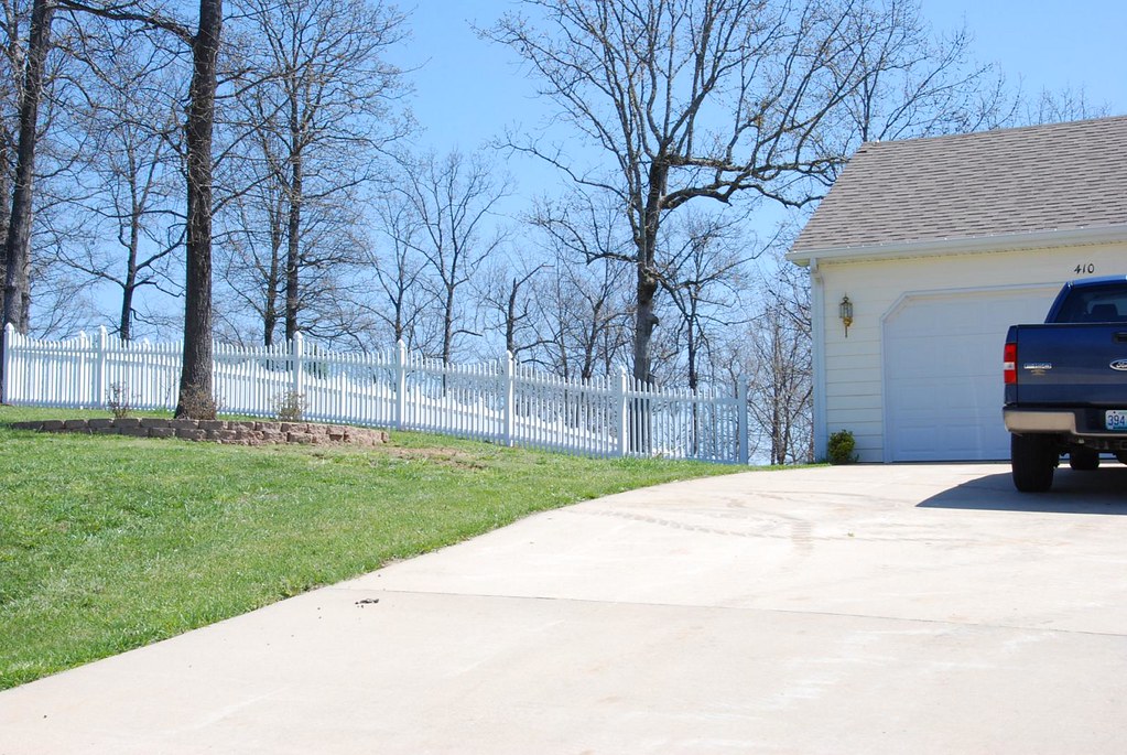
Fence Install

Icicles over my head

Rocky Falls, Stegall Mountain Natural Area

Sunset 2-16-12
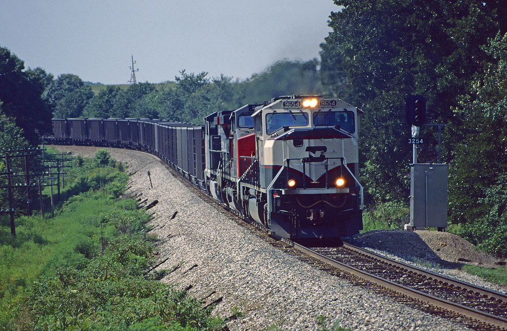
BNSF EY549 at Brandsville, MO
West Plains, MO

West Plains, MO

West Plains, MO

Time to stop conferencing

Funhouse mirror time

C-NRMMHS0 27A
Topographic Map of West Plains, MO, USA
Find elevation by address:

Places in West Plains, MO, USA:
Places near West Plains, MO, USA:
N-a
401 S Aid Ave
West Plains, MO, USA
1724 Luna Dr
1813 Gibson St
712 E Pamela Dr
2511 Paula Dr
Wayhaven Avenue
1912 Linda St
3011 Christie Dr
7519 Co Rd 2010
Howell Township
5051 Co Rd 8800
5416 Co Rd 1380
7498 Co Rd 2570
Berean Baptist Church
10302 Co Rd 9030
5141 Co Rd 1820
Dry Creek Township
Co Rd, West Plains, MO, USA
Recent Searches:
- Elevation of Corso Fratelli Cairoli, 35, Macerata MC, Italy
- Elevation of Tallevast Rd, Sarasota, FL, USA
- Elevation of 4th St E, Sonoma, CA, USA
- Elevation of Black Hollow Rd, Pennsdale, PA, USA
- Elevation of Oakland Ave, Williamsport, PA, USA
- Elevation of Pedrógão Grande, Portugal
- Elevation of Klee Dr, Martinsburg, WV, USA
- Elevation of Via Roma, Pieranica CR, Italy
- Elevation of Tavkvetili Mountain, Georgia
- Elevation of Hartfords Bluff Cir, Mt Pleasant, SC, USA