Elevation of Christie Dr, West Plains, MO, USA
Location: United States > Missouri > Howell County > Howell Township > West Plains >
Longitude: -91.878887
Latitude: 36.7664948
Elevation: 333m / 1093feet
Barometric Pressure: 97KPa
Elevation Map:
Satellite Map:
Related Photos:

Master Bedroom 2
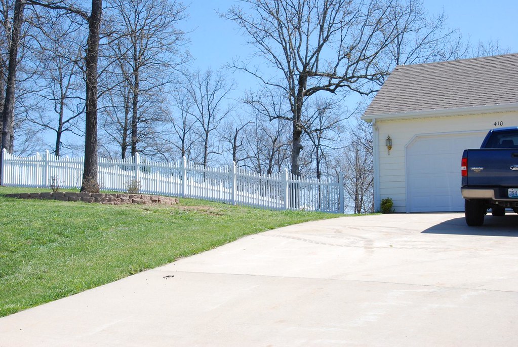
Fence Install

Icicles over my head

Rocky Falls, Stegall Mountain Natural Area
West Plains, MO
West Plains, MO

West Plains, MO

Time to stop conferencing

Funhouse mirror time

C-NRMMHS0 27A
Topographic Map of Christie Dr, West Plains, MO, USA
Find elevation by address:

Places near Christie Dr, West Plains, MO, USA:
Wayhaven Avenue
2511 Paula Dr
1912 Linda St
7519 Co Rd 2010
1813 Gibson St
1724 Luna Dr
5416 Co Rd 1380
West Plains, MO, USA
712 E Pamela Dr
N-a
West Plains
401 S Aid Ave
5141 Co Rd 1820
7498 Co Rd 2570
Berean Baptist Church
Dry Creek Township
5051 Co Rd 8800
Howell County
Howell Township
Pomona
Recent Searches:
- Elevation of Corso Fratelli Cairoli, 35, Macerata MC, Italy
- Elevation of Tallevast Rd, Sarasota, FL, USA
- Elevation of 4th St E, Sonoma, CA, USA
- Elevation of Black Hollow Rd, Pennsdale, PA, USA
- Elevation of Oakland Ave, Williamsport, PA, USA
- Elevation of Pedrógão Grande, Portugal
- Elevation of Klee Dr, Martinsburg, WV, USA
- Elevation of Via Roma, Pieranica CR, Italy
- Elevation of Tavkvetili Mountain, Georgia
- Elevation of Hartfords Bluff Cir, Mt Pleasant, SC, USA