Elevation of West Main Street, W Main St, Glasgow, KY, USA

Location: United States > Kentucky > Barren County > Glasgow >

Longitude: -85.931340

Latitude: 37.0050005

Elevation: -10000m / -32808feet

Barometric Pressure: 295KPa

Elevation Map:

elevation map of West Main Street, W Main St, Glasgow, KY, USA

Satellite Map:

Satellite map of West Main Street, W Main St, Glasgow, KY, USA

Related Photos:

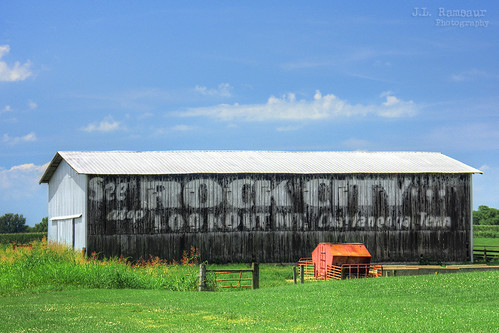
hdr worldhdr hdraddicted bracketed photomatix hdrphotomatix hdrvillage hdrworlds hdrimaging hdrrighthererightnow bluesky deepbluesky beautifulsky historicbuilding history historic historyisallaroundus americanrelics beautifuldecay fadingamerica it’saretroworldafterall oldandbeautiful vanishingamerica abandoned abandonedplacesandthings abandonedneglectedweatheredorrusty sign signage it’sasign signssigns iloveoldsigns oldsignage vintagesign retrosign oldsign vintagesignage retrosignage faded fadedsignage fadedsign iseeasign signcity ghostsign fadedghostsign advertising seerockcityatoplookoutmtchattanoogatennbarn seerockcityatoplookoutmtchattanoogatenn seerockcitybarn seerockcity oldbarn vintagebarn ruralbarn rockcity ruralsouth rural ruralamerica ruralkentucky ruralview oldbuildings structuresofthesouth smalltownamerica americana
See Rock City...atop Lookout Mt Chattanooga, Tenn barn - Cave City, Kentucky
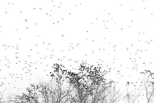
trees blackandwhite bw birds silhouette landscape flying day action outdoor kentucky wildlife flock commute perch cavecity project365 afsvrzoomnikkor70200mmf28gifed 67365 nikond700 365dpsmembermap
[67/365] Marathon Commute
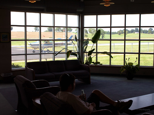
plane ga airplane flying airport glasgow kentucky ky aircraft aviation airplanes flight terminal 150 planes 1972 trainer props prop cessna municipal airfield generalaviation c150 barrencounty 150l cessna150l n19061 kglw
KGLW - Glasgow Municipal Airport, Barren County, Kentucky
glasgow kentucky ky courthouse countycourthouse barrencounty bmok bmok2
Barren County Courthouse Corner View- Glasgow, KY
trees blackandwhite bw birds silhouette landscape flying day action outdoor kentucky wildlife flock landing commute perch cavecity project365 afsvrzoomnikkor70200mmf28gifed 67365 nikond700
The Flocks
kentucky cave cavern crystalonyxcave
Viewing a Cave Cricket
Street view
Harvest Time In Kentucky. HFF!
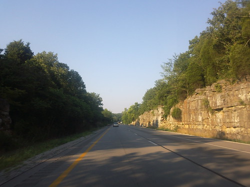
Early Morning Drive.
road trees sky college clouds work drive university kentucky science surface farmland fieldtrip fields geology sinkholes clemson fieldcamp hydrogeology
Farmland of sinkholes
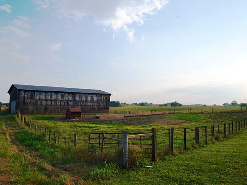
barns olympus americana rockcity omd seerockcity em5
RCB 6
summer blackandwhite landscape mono miniature nikon unitedstates kentucky tiltshift cavecity 24mmpce
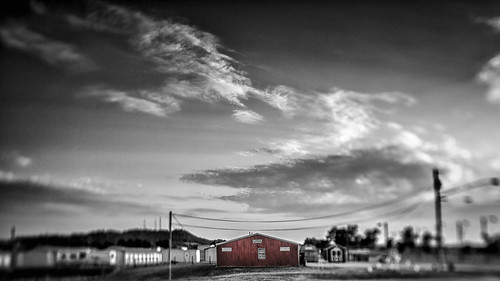
Red Store Mono, Kentucky
summer landscape miniature nikon unitedstates kentucky tiltshift cavecity 24mmpce
Red Store, Kentucky
kentucky cave cavern crystalonyxcave
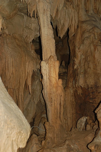
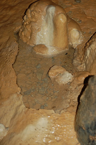
Column at Crystal Onyx Cave
kentucky cave cavern crystalonyxcave
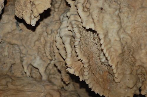
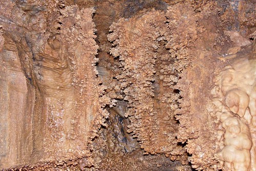
Cave Formations at Crystal Onyx Cave
kentucky cave cavern crystalonyxcave
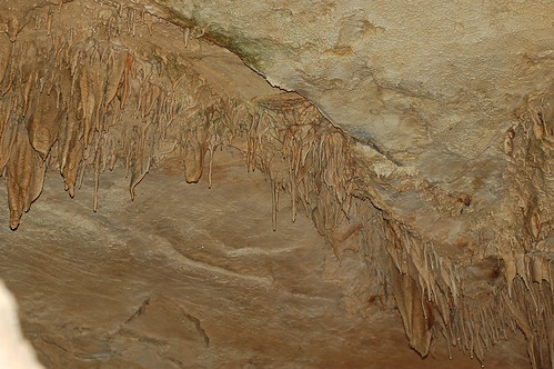
Cave Formations at Crystal Onyx Cave
kentucky cave cavern crystalonyxcave
Cave Formations at Crystal Onyx Cave
kentucky cave cavern crystalonyxcave
Cave Formations at Crystal Onyx Cave
kentucky cave cavern crystalonyxcave
Cave Formations at Crystal Onyx Cave
square squareformat iphoneography instagramapp xproii uploaded:by=instagram foursquare:venue=4bf5a4e19abec9b6db5c24e8
Day 5: This road trip really makes me think the only way to really see (and photograph) everything is to maybe take a full year sabbatical. I want to see everything!
sunset sky clouds
sunset near bell's tavern ruins
park city horse action kentucky ky cave
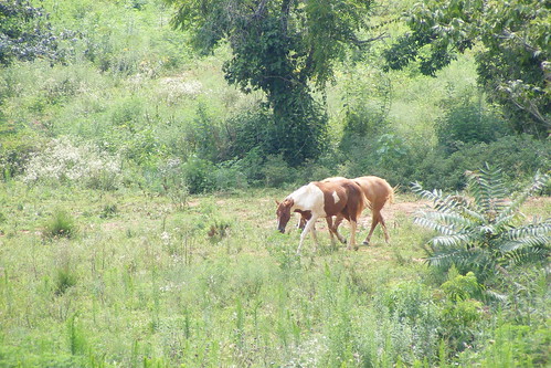
No Roaming Charges
city coral kentucky ky formation cave onyx
Cave Coral
google samsung android behold 2010
2010-07-05 18.18.02
ruins bellstavern
bell's tavern ruins
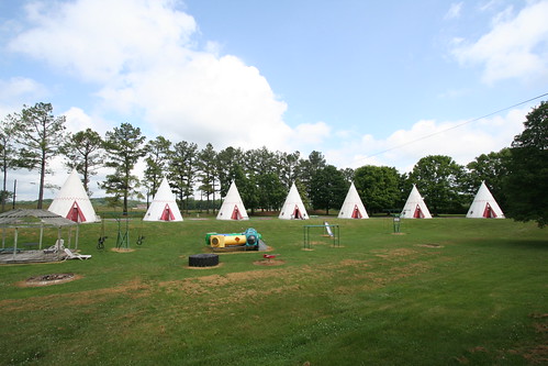
kentucky motel wigwamvillage cavecity
Wigwam Village #2