Elevation of West Main Street, W Main St, Glasgow, KY, USA
Location: United States > Kentucky > Barren County > Glasgow >
Longitude: -85.931340
Latitude: 37.0050005
Elevation: -10000m / -32808feet
Barometric Pressure: 295KPa
Elevation Map:
Satellite Map:
Related Photos:

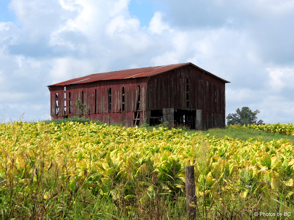
See Rock City...atop Lookout Mt Chattanooga, Tenn barn - Cave City, Kentucky

[67/365] Marathon Commute

Barren County Courthouse Corner View- Glasgow, KY

KGLW - Glasgow Municipal Airport, Barren County, Kentucky

The Flocks

Viewing a Cave Cricket

Street view
Harvest Time In Kentucky. HFF!

Early Morning Drive.

Farmland of sinkholes

RCB 6

Red Store Mono, Kentucky

Red Store, Kentucky
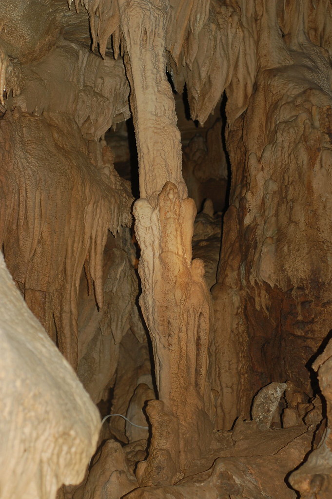
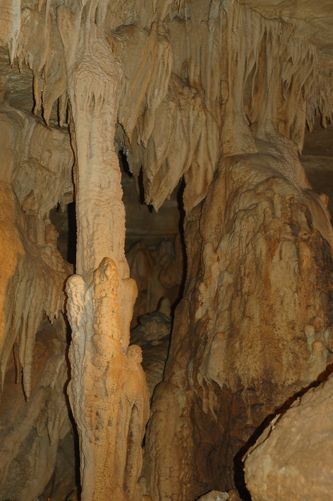
Column at Crystal Onyx Cave
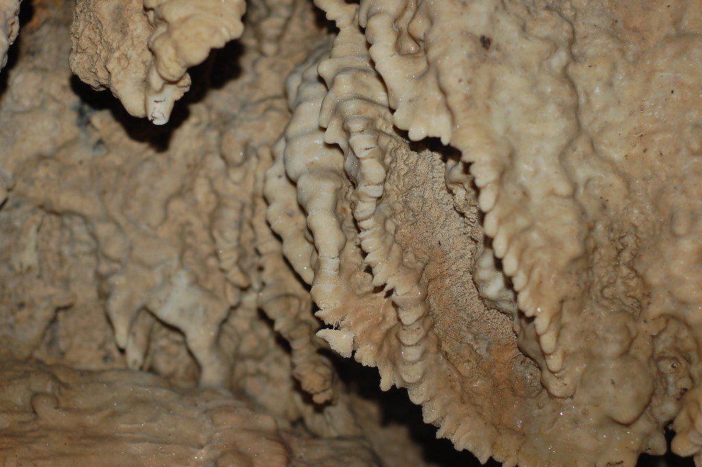
Cave Formations at Crystal Onyx Cave
Cave Formations at Crystal Onyx Cave

Cave Formations at Crystal Onyx Cave

Cave Formations at Crystal Onyx Cave
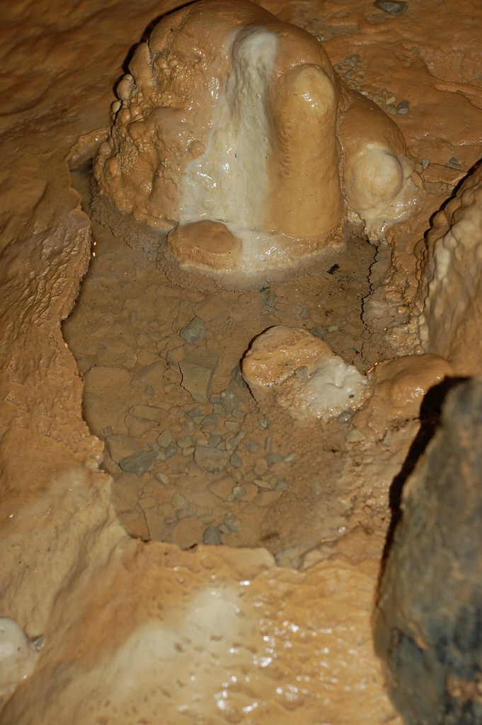
Cave Formations at Crystal Onyx Cave

Day 5: This road trip really makes me think the only way to really see (and photograph) everything is to maybe take a full year sabbatical. I want to see everything!

sunset near bell's tavern ruins

No Roaming Charges

Cave Coral

2010-07-05 18.18.02

bell's tavern ruins

Wigwam Village #2
Topographic Map of West Main Street, W Main St, Glasgow, KY, USA
Find elevation by address:

Places near West Main Street, W Main St, Glasgow, KY, USA:
West Main Street
505 N Race St
Glasgow
103 Hummingbird Ln
20 Aberdeen Dr
100 Beverly Hills Dr
429 Bob Lewis Rd
1480 Dripping Springs Rd
142 Brentwood Estates
Scottsville Rd, Glasgow, KY, USA
77 Howard Bull Rd
4017 Dripping Springs Rd
4017 Dripping Springs Rd
4071 Dripping Springs Rd
95 Libby Ct
Barren County
3629 Finney Rd
Old Bowling Green Rd, Glasgow, KY, USA
2017 Vernon School Rd
425 Indian Point Rd
Recent Searches:
- Elevation of Corso Fratelli Cairoli, 35, Macerata MC, Italy
- Elevation of Tallevast Rd, Sarasota, FL, USA
- Elevation of 4th St E, Sonoma, CA, USA
- Elevation of Black Hollow Rd, Pennsdale, PA, USA
- Elevation of Oakland Ave, Williamsport, PA, USA
- Elevation of Pedrógão Grande, Portugal
- Elevation of Klee Dr, Martinsburg, WV, USA
- Elevation of Via Roma, Pieranica CR, Italy
- Elevation of Tavkvetili Mountain, Georgia
- Elevation of Hartfords Bluff Cir, Mt Pleasant, SC, USA