Elevation of West Elgin, ON, Canada
Location: Canada > Ontario > Elgin County >
Longitude: -81.647344
Latitude: 42.5982006
Elevation: 216m / 709feet
Barometric Pressure: 99KPa
Elevation Map:
Satellite Map:
Related Photos:

TO BOLDLY GO WHERE (well you know the rest)

Bird's Eye View of Rodney, circa 1910s
Storm 4

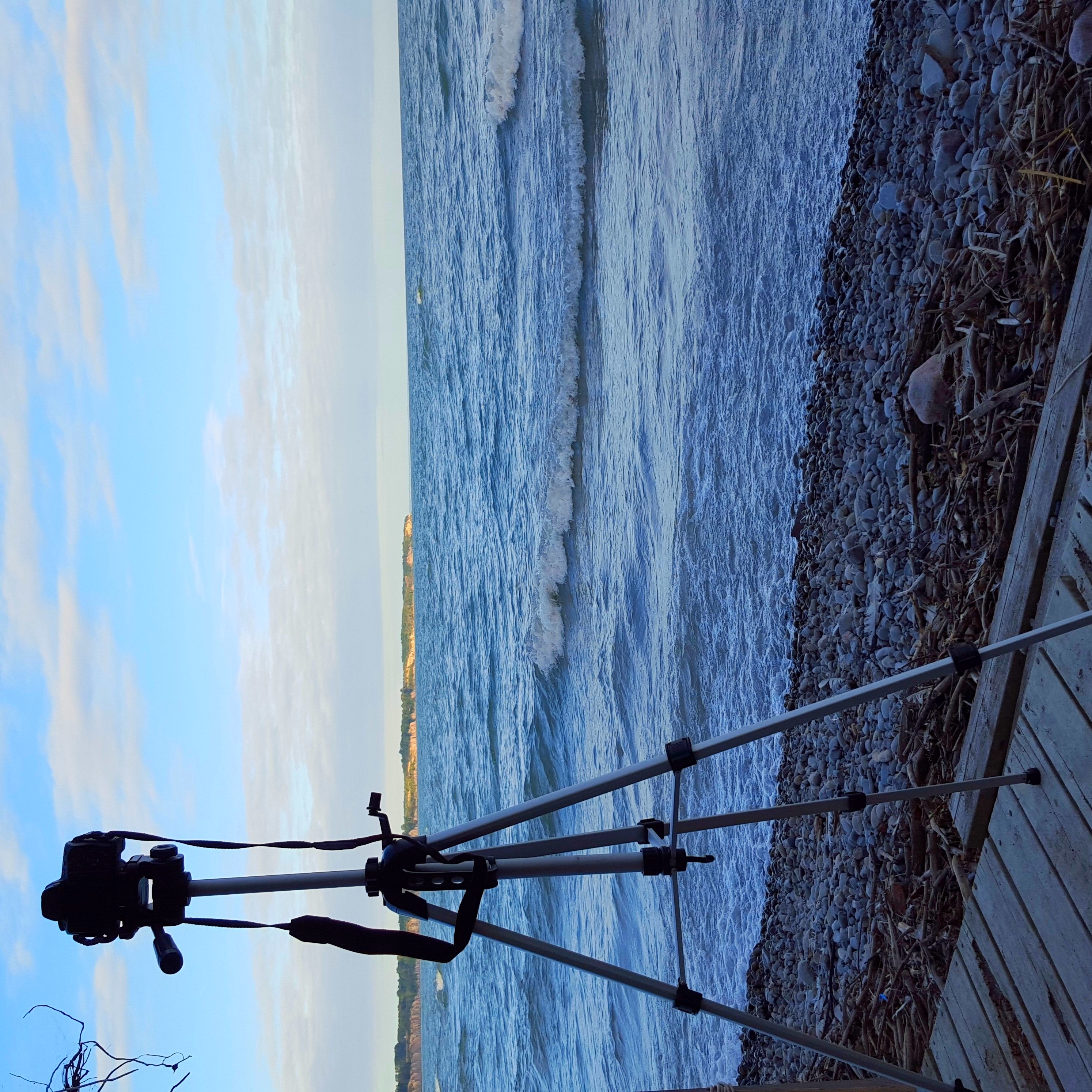
Tryconnell Beach - Waves

Port Glasgow - Backlit Clouds

Tyrconnel Beach 2

Mornin Eh! #canada #roadtoad #roadtoadphoto #ios #instagram #photography

Dutton_Dunwich-20130110-00049.jpg
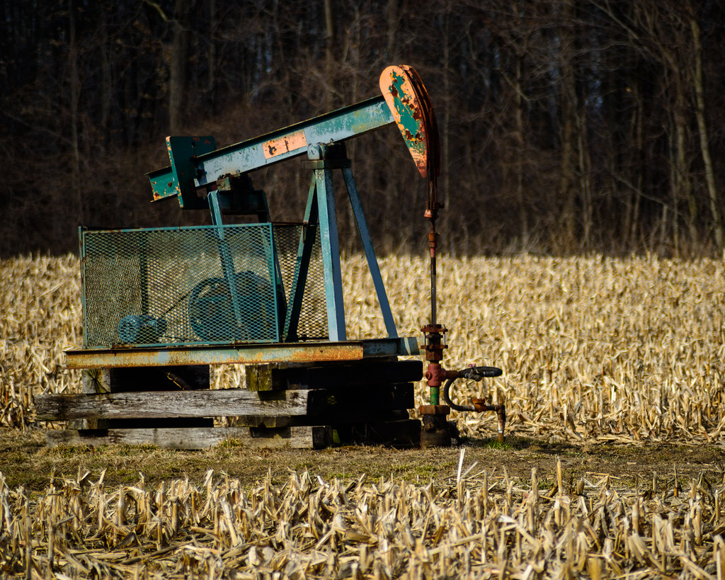
90/365: The Original Oil Country.

Fall?

another day in paradise

PORT GLASGOW BY MOONLIGHT

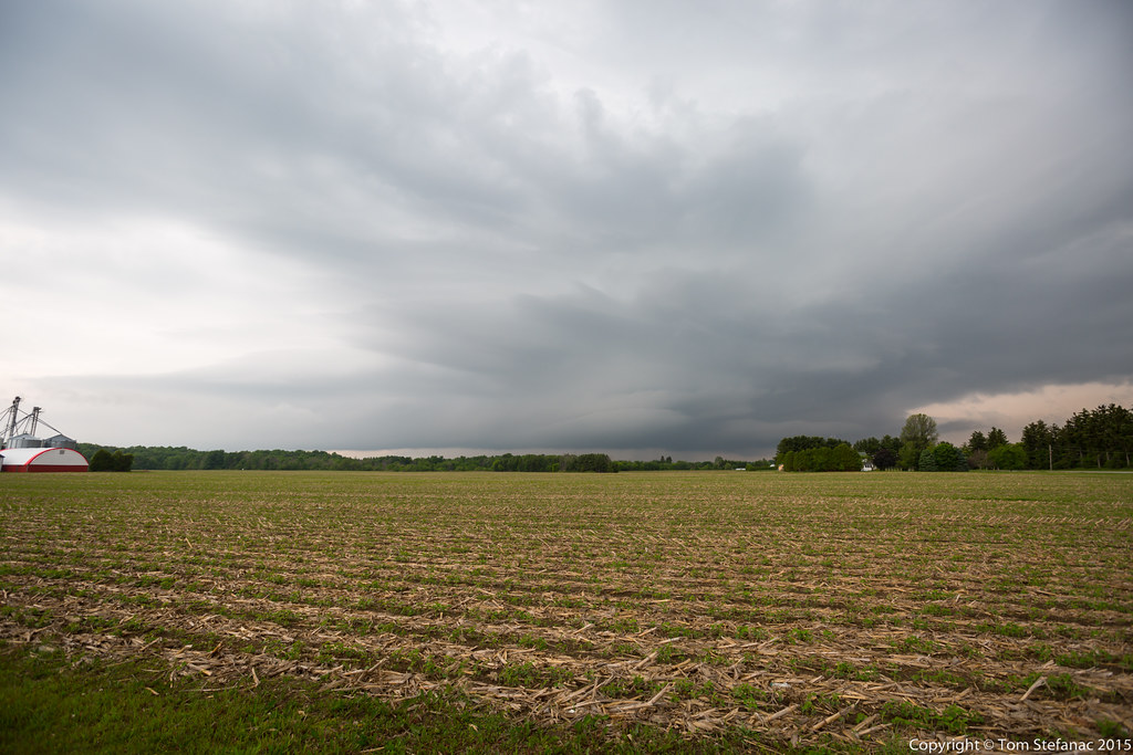
Before the storm
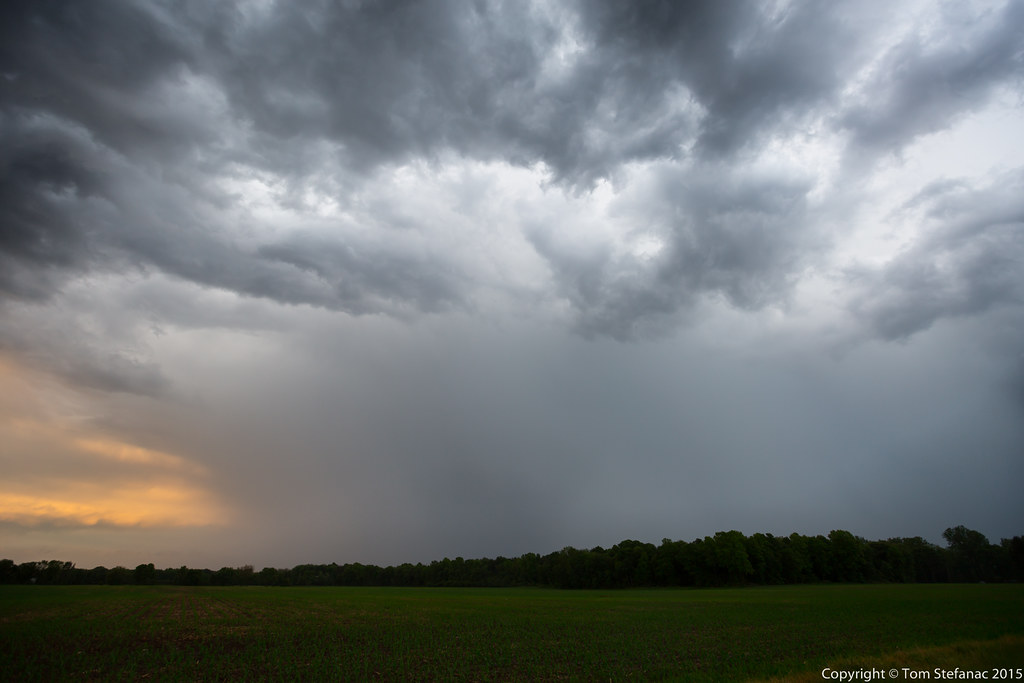
Last Storm Core
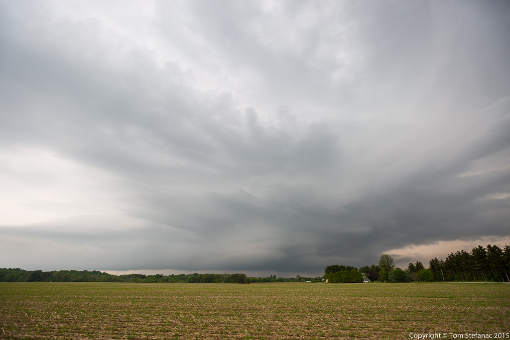
Laminar Clouds
lakeside photo club

Lake and sky
Topographic Map of West Elgin, ON, Canada
Find elevation by address:

Places in West Elgin, ON, Canada:
Places near West Elgin, ON, Canada:
24801 Pioneer Line
24801 Pioneer Line
Colley Rd, Rodney, ON N0L 2C0, Canada
Rodney
26911 Pioneer Line
Duart Rd, Muirkirk, ON N0L 1X0, Canada
Johnston Line, Bothwell, ON N0P 1C0, Canada
Glencoe
Thames Rd, Appin, ON N0L 1A0, Canada
Newbury
Orford
22064 Thames Rd
Mosa Forest - Badder And Robinson Memorial Forest
5849 Falconbridge Dr
Thames River
Olde Dr, Appin, ON N0L 1A0, Canada
Zone Township
Victoria Rd, Ridgetown, ON N0P 2C0, Canada
Ridgetown
21520 Victoria Rd
Recent Searches:
- Elevation of Corso Fratelli Cairoli, 35, Macerata MC, Italy
- Elevation of Tallevast Rd, Sarasota, FL, USA
- Elevation of 4th St E, Sonoma, CA, USA
- Elevation of Black Hollow Rd, Pennsdale, PA, USA
- Elevation of Oakland Ave, Williamsport, PA, USA
- Elevation of Pedrógão Grande, Portugal
- Elevation of Klee Dr, Martinsburg, WV, USA
- Elevation of Via Roma, Pieranica CR, Italy
- Elevation of Tavkvetili Mountain, Georgia
- Elevation of Hartfords Bluff Cir, Mt Pleasant, SC, USA