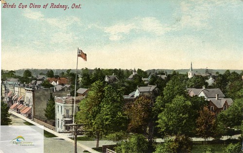
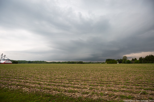
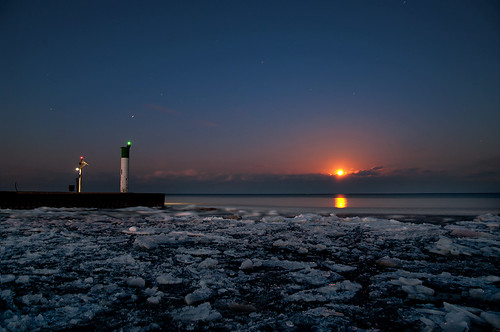
Elevation of Colley Rd, Rodney, ON N0L 2C0, Canada
Location: Canada > Ontario > Elgin County > West Elgin > Rodney >
Longitude: -81.678698
Latitude: 42.624498
Elevation: 213m / 699feet
Barometric Pressure: 99KPa
Related Photos:
Topographic Map of Colley Rd, Rodney, ON N0L 2C0, Canada
Find elevation by address:

Places near Colley Rd, Rodney, ON N0L 2C0, Canada:
West Elgin
Rodney
24801 Pioneer Line
24801 Pioneer Line
26911 Pioneer Line
Glencoe
Johnston Line, Bothwell, ON N0P 1C0, Canada
Newbury
Mosa Forest - Badder And Robinson Memorial Forest
Duart Rd, Muirkirk, ON N0L 1X0, Canada
Thames Rd, Appin, ON N0L 1A0, Canada
22064 Thames Rd
Orford
Thames River
5849 Falconbridge Dr
Olde Dr, Appin, ON N0L 1A0, Canada
Zone Township
Alvinston
Victoria Rd, Ridgetown, ON N0P 2C0, Canada
Nauvoo Rd, Alvinston, ON N0N 1A0, Canada
Recent Searches:
- Elevation of Corso Fratelli Cairoli, 35, Macerata MC, Italy
- Elevation of Tallevast Rd, Sarasota, FL, USA
- Elevation of 4th St E, Sonoma, CA, USA
- Elevation of Black Hollow Rd, Pennsdale, PA, USA
- Elevation of Oakland Ave, Williamsport, PA, USA
- Elevation of Pedrógão Grande, Portugal
- Elevation of Klee Dr, Martinsburg, WV, USA
- Elevation of Via Roma, Pieranica CR, Italy
- Elevation of Tavkvetili Mountain, Georgia
- Elevation of Hartfords Bluff Cir, Mt Pleasant, SC, USA
