Elevation of West Danville, Danville, VT, USA
Location: United States > Vermont > Caledonia County > Walden >
Longitude: -72.195099
Latitude: 44.4095015
Elevation: 481m / 1578feet
Barometric Pressure: 96KPa
Elevation Map:
Satellite Map:
Related Photos:
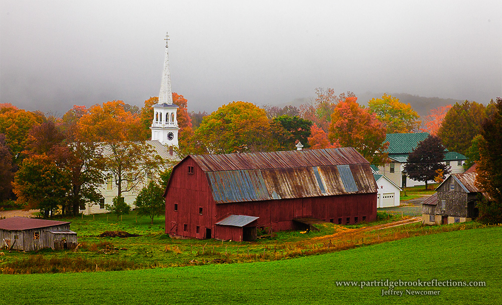
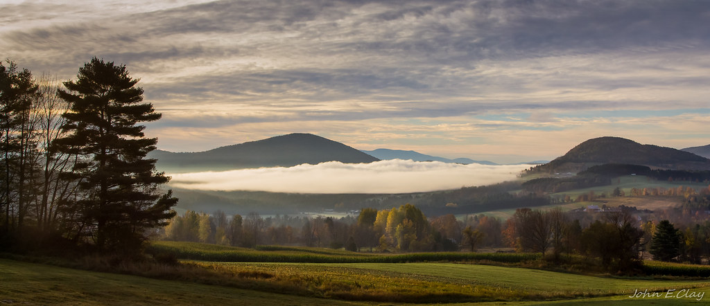
Peacham Mist
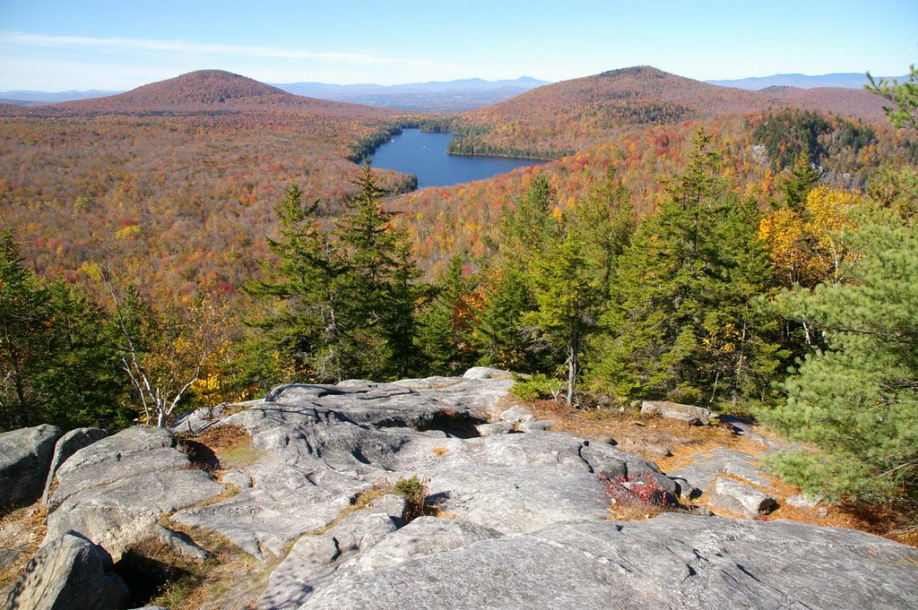
Secret ledge
Drive to Stowe - roadside view 1

Drive to Stowe - roadside view 5
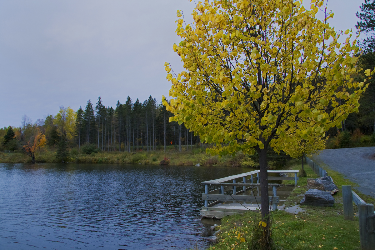
Mollys Fall Pond 2
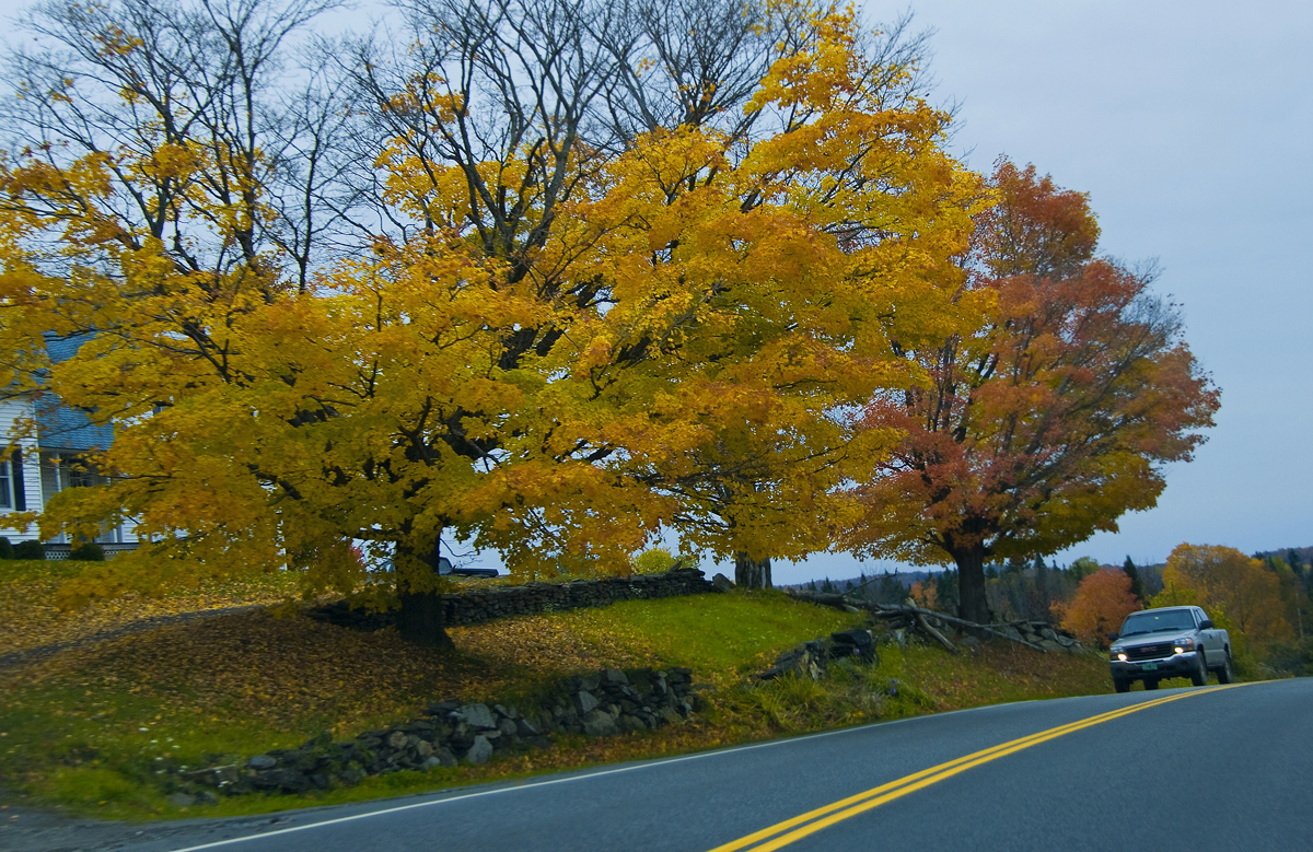
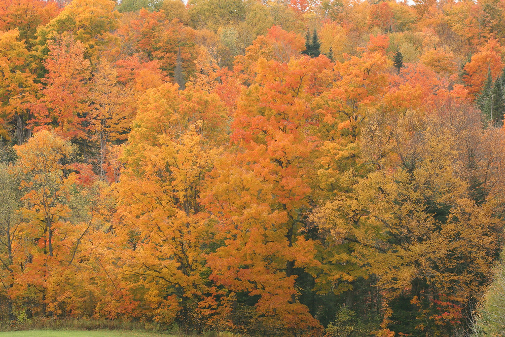
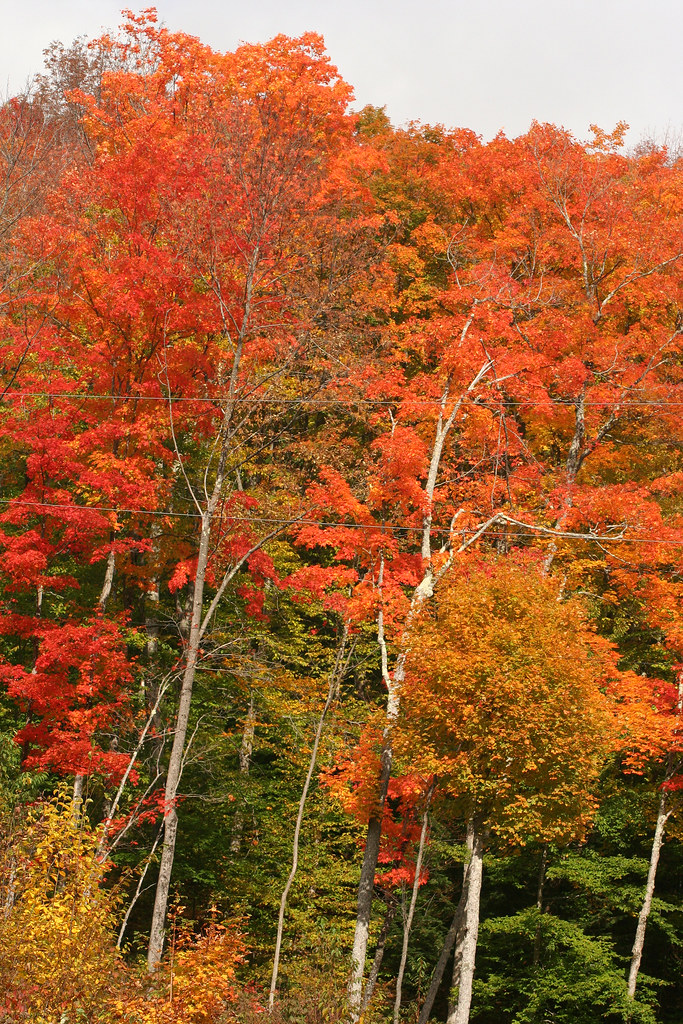
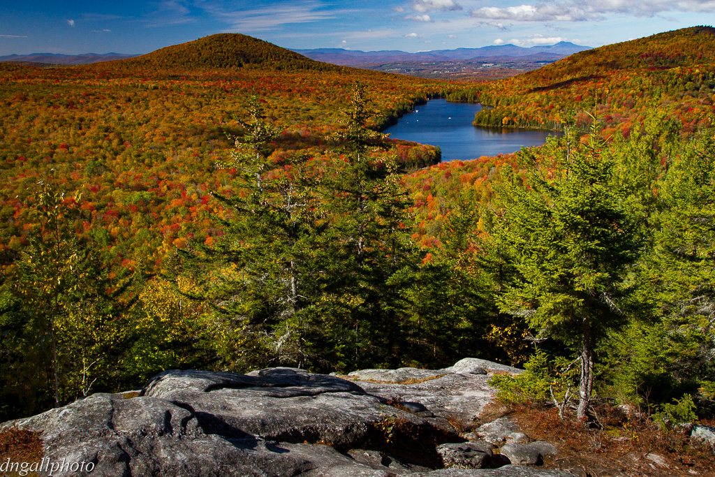
Vermont Fall Foliage 1
Drive to Stowe - roadside view 3

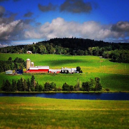
Cabot, VT - Farm
Peacham Panorama

Mollys Fall Pond 3
Come for the view, stay because you're dead.
The US as Seen From Vermont

St. J (38/365)

Frozen Kettle Pond in Infrared
Thoughtful Thorson

Mollys Fall Pond 1
2007-05-27 Panteria View w Tent

End Of The Road
Upstairs Cabin View
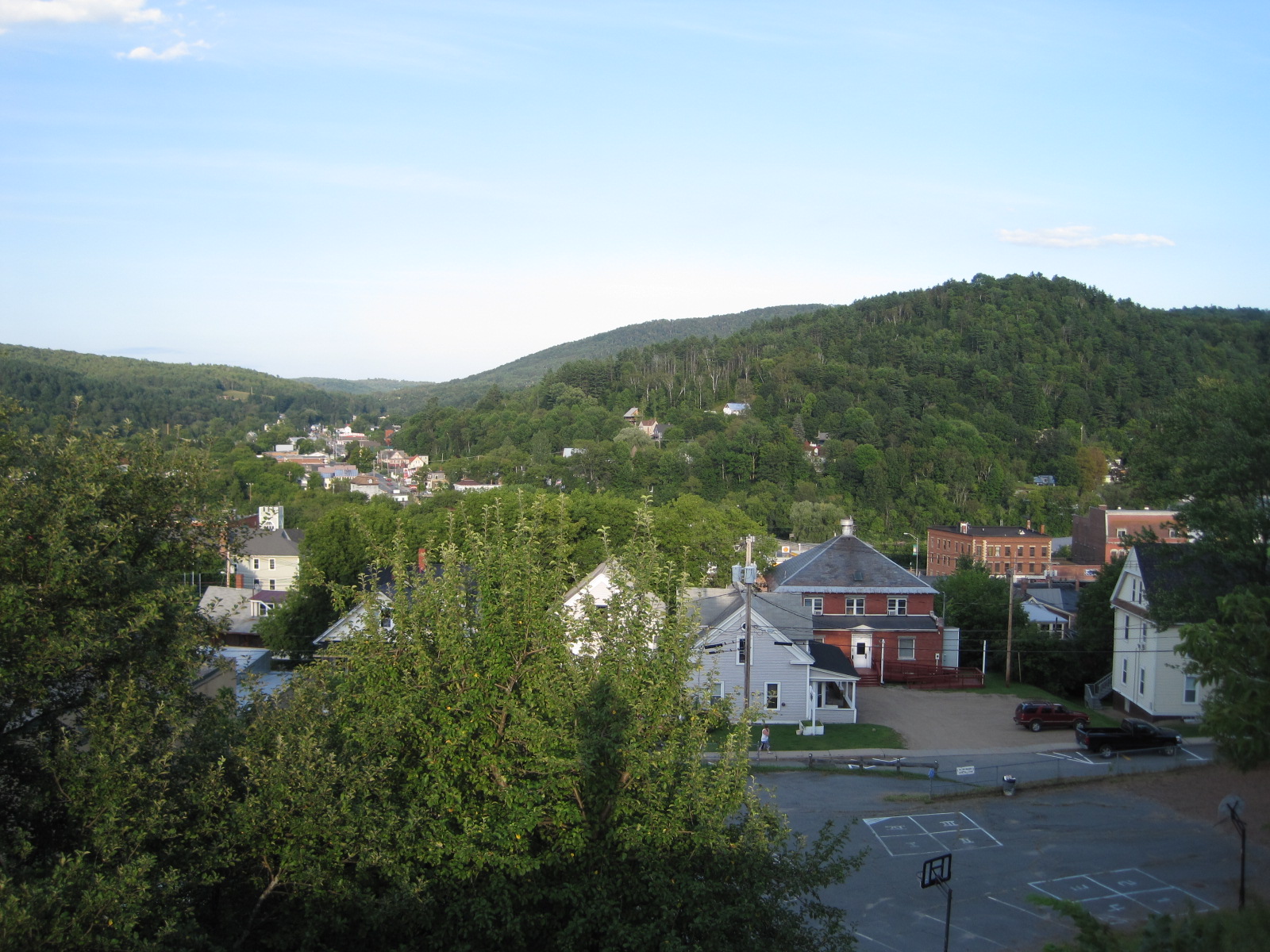
St. Johnsbury

Kettle Pond Autunm
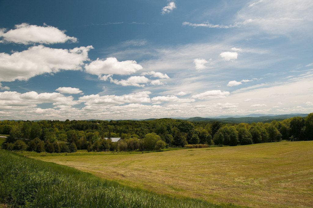
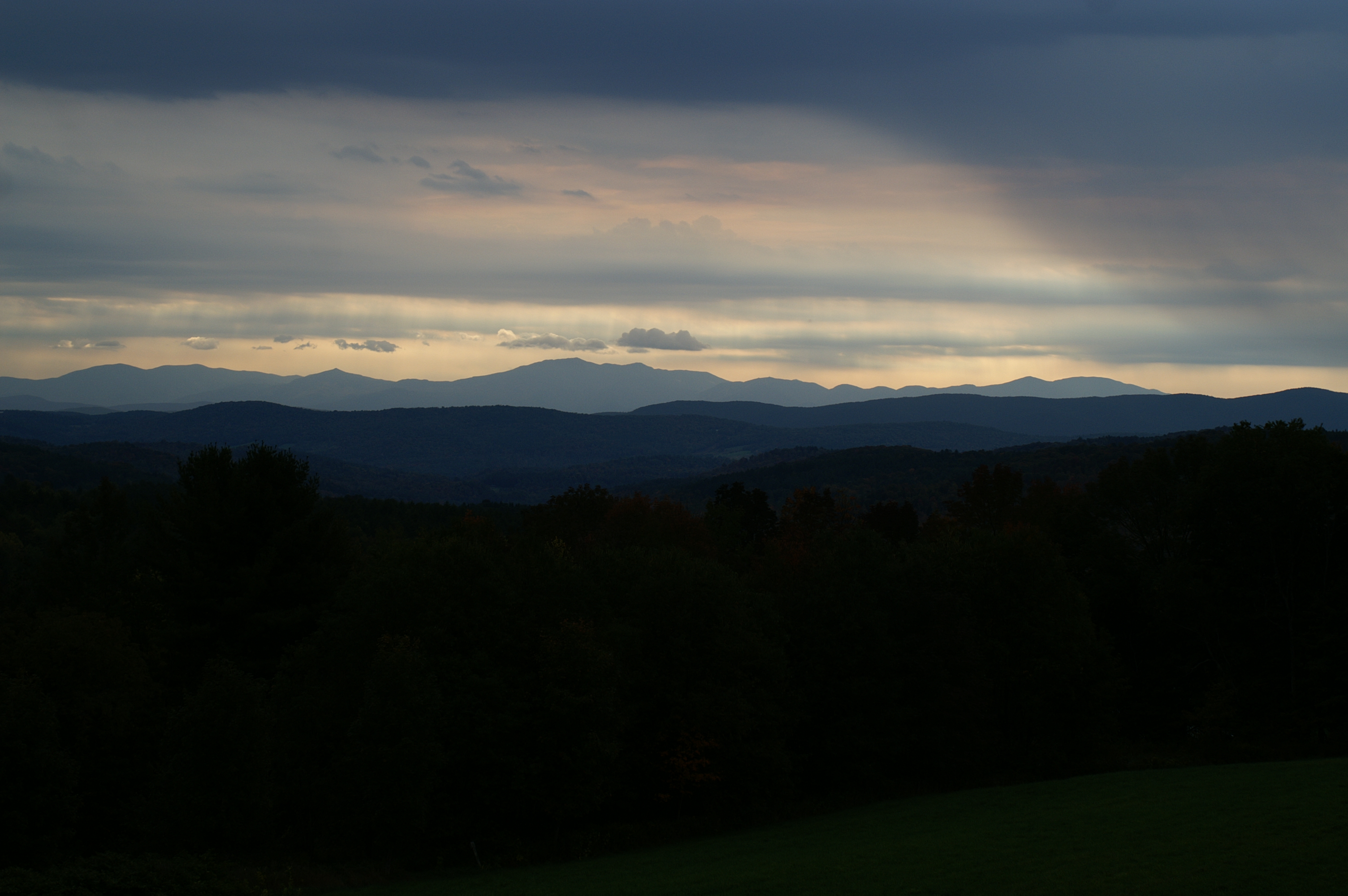
The Valley
bvdm-20090603-001

Cloudy Day in Danville
25 May 2014
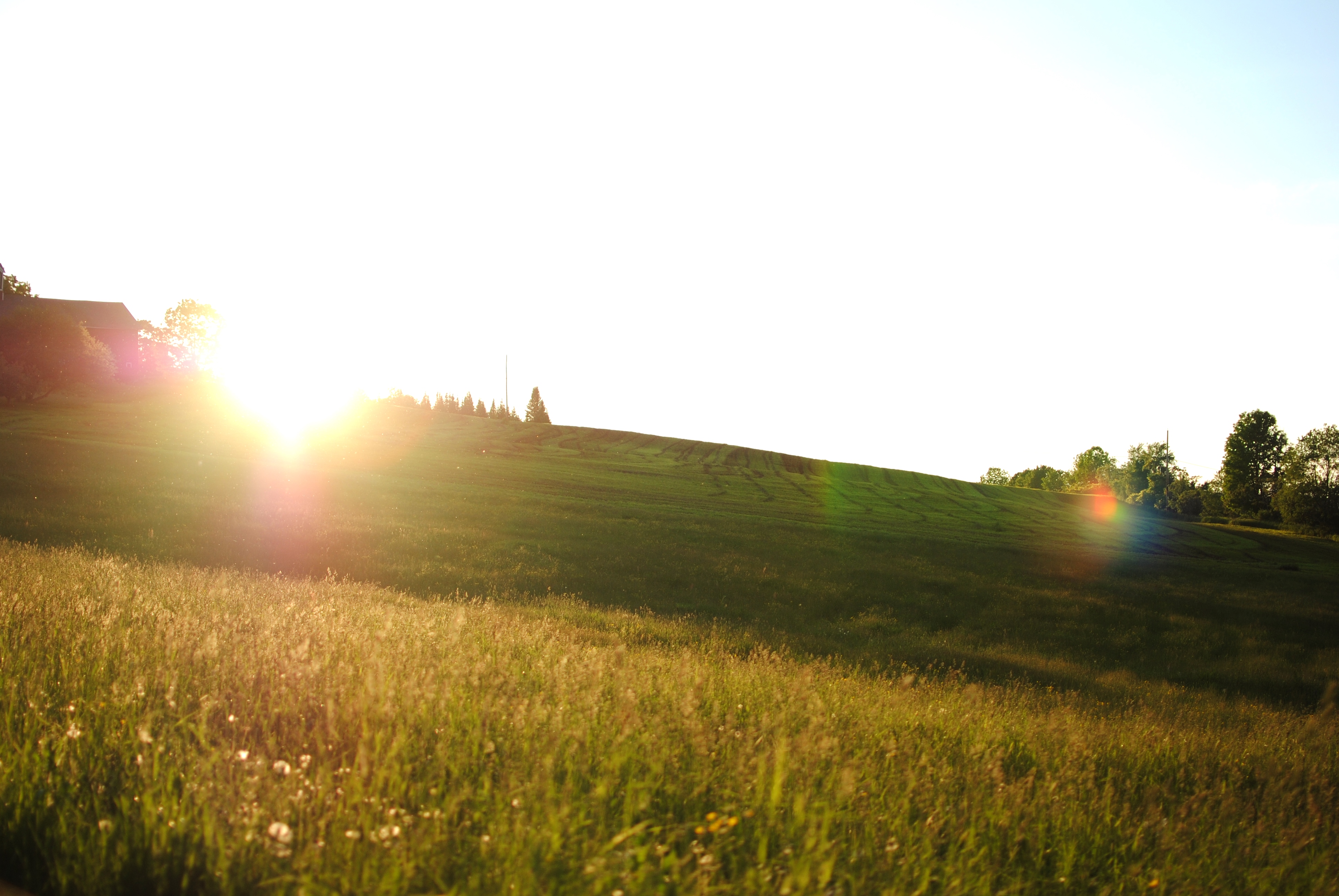
Summer Sunset
Colorful Overlook

Somewhere in New England

A.M. Foster Covered Bridge
Somewhere in New England
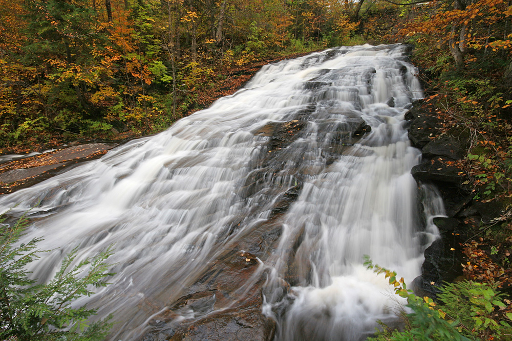
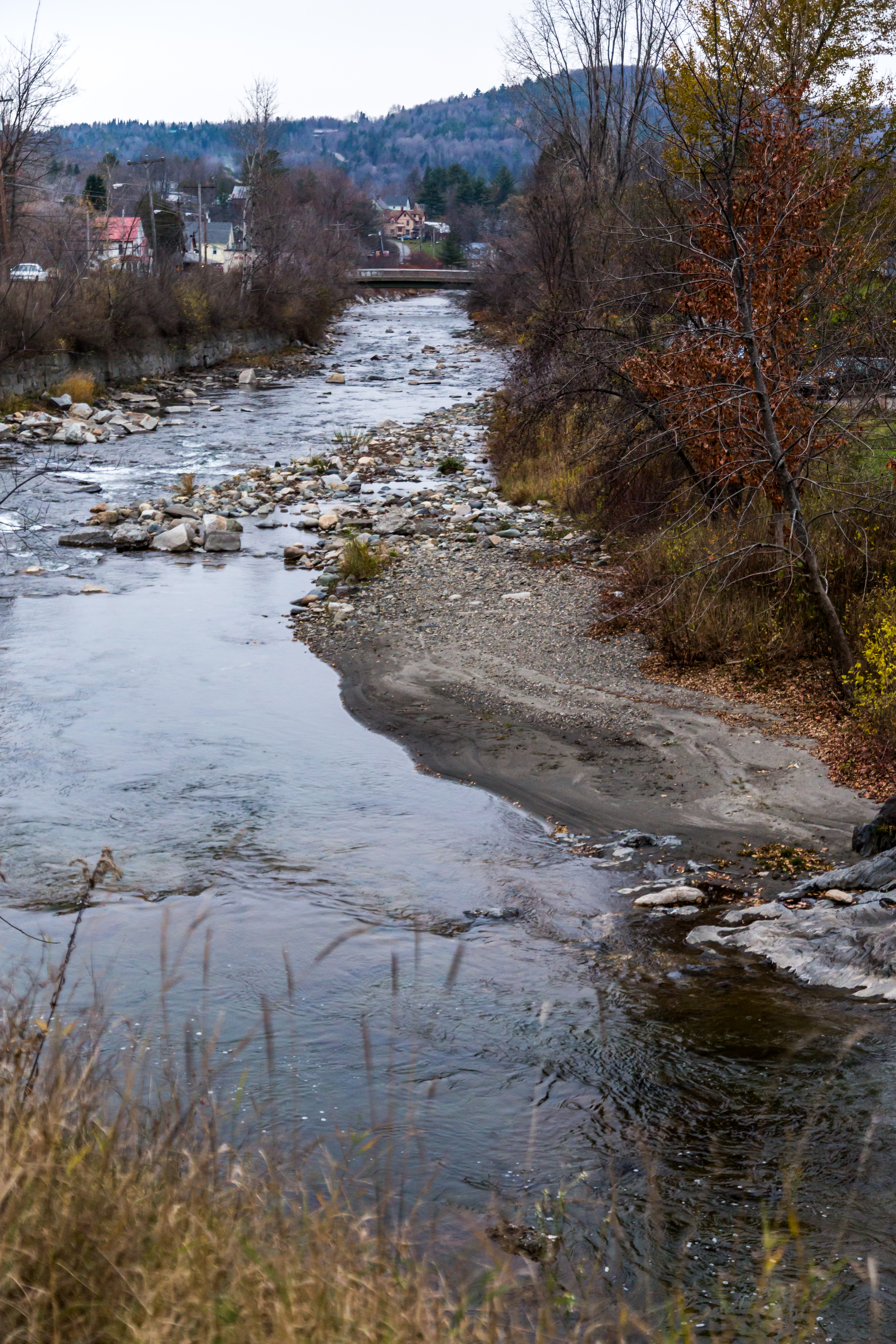
Marshfield Falls
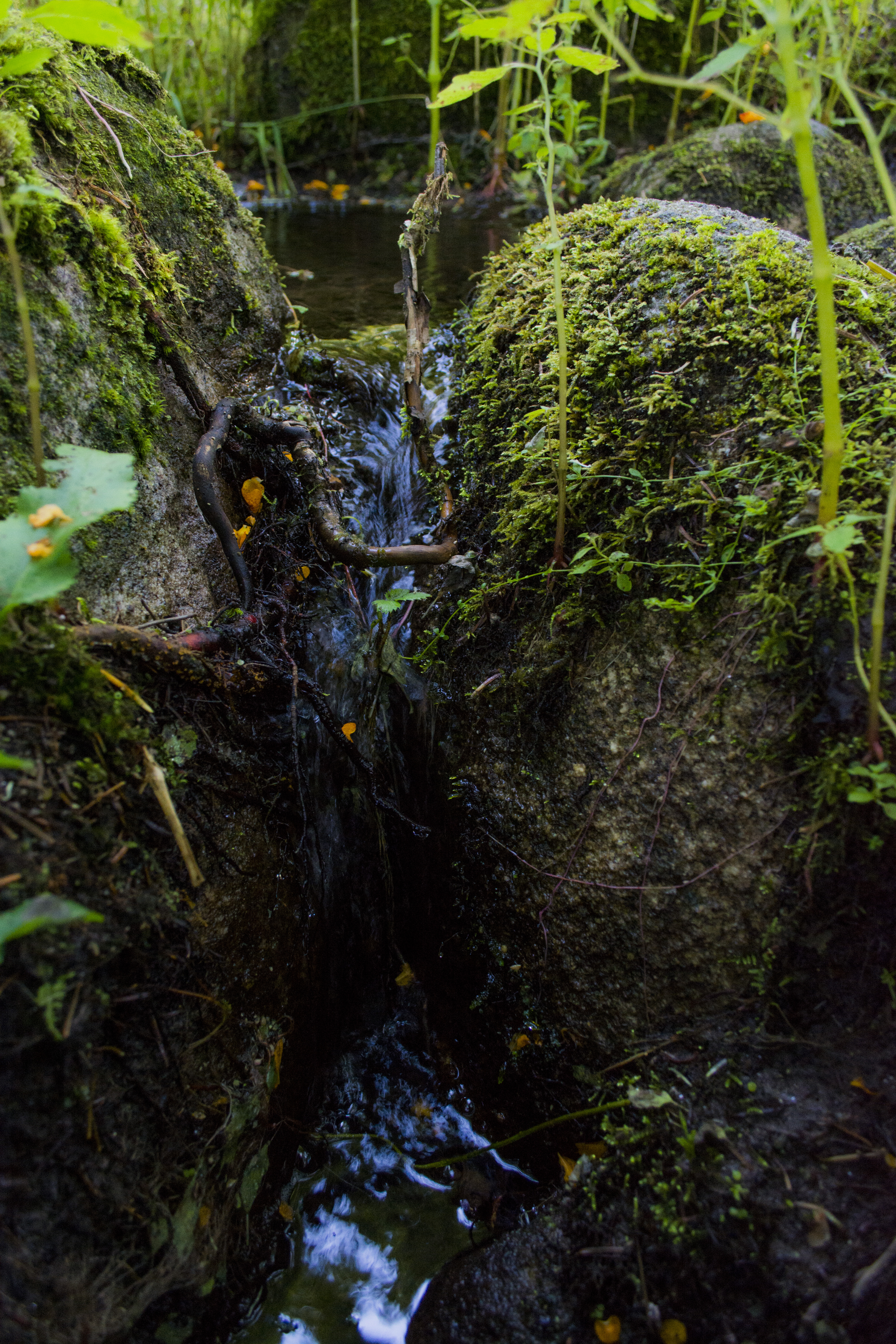
Waterfall in Miniature
untitled (37 of 98)
#vermont

Relay Misc Landscapes-6402

Relay Misc Landscapes-6384

Relay Misc Landscapes-2

Relay Misc Landscapes-6442

Relay Misc Landscapes-6382

Relay Misc Landscapes-6388
Topographic Map of West Danville, Danville, VT, USA
Find elevation by address:

Places in West Danville, Danville, VT, USA:
Places near West Danville, Danville, VT, USA:
Wightman Road
596 Vt-15
Cove Road
640 W Shore Rd
140 Cross Country Rd
348 Walden Hill Rd
5 Audet Pl
2175 Vt-15
Walden
2125 Cahoon Farm Rd
116 Noyestar Rd
148 Peacham Rd
550 Hill St
Upper Harrington Hill
Danville
1547 Bricketts Crossing Rd
705 Noyestar Rd
Cobb Rd, West Danville, VT, USA
377 Lyford West Shore
326 Greenbanks Hollow Rd
Recent Searches:
- Elevation of Corso Fratelli Cairoli, 35, Macerata MC, Italy
- Elevation of Tallevast Rd, Sarasota, FL, USA
- Elevation of 4th St E, Sonoma, CA, USA
- Elevation of Black Hollow Rd, Pennsdale, PA, USA
- Elevation of Oakland Ave, Williamsport, PA, USA
- Elevation of Pedrógão Grande, Portugal
- Elevation of Klee Dr, Martinsburg, WV, USA
- Elevation of Via Roma, Pieranica CR, Italy
- Elevation of Tavkvetili Mountain, Georgia
- Elevation of Hartfords Bluff Cir, Mt Pleasant, SC, USA