Elevation of Lyford West Shore, West Danville, VT, USA
Location: United States > Vermont > Caledonia County > Walden > West Danville >
Longitude: -72.250153
Latitude: 44.4467659
Elevation: 522m / 1713feet
Barometric Pressure: 95KPa
Elevation Map:
Satellite Map:
Related Photos:
Peacham Mist
Secret ledge
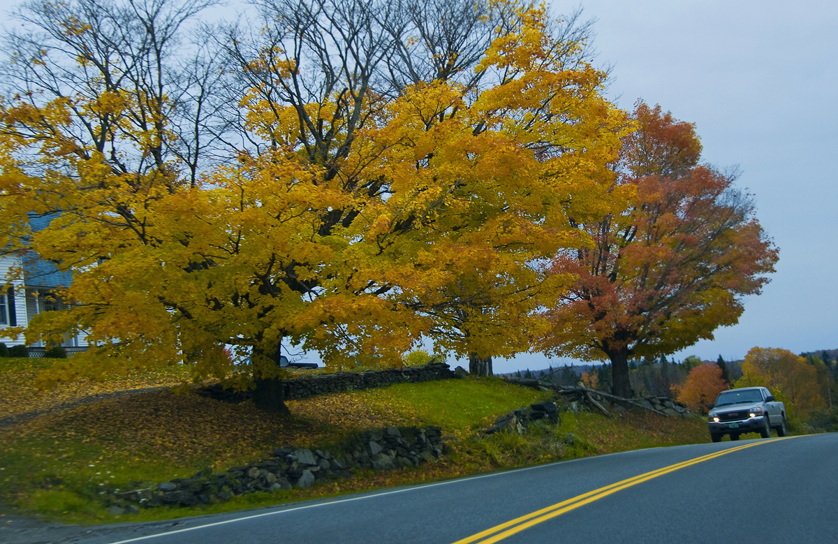
Drive to Stowe - roadside view 1

Drive to Stowe - roadside view 5
Drive to Stowe - roadside view 3
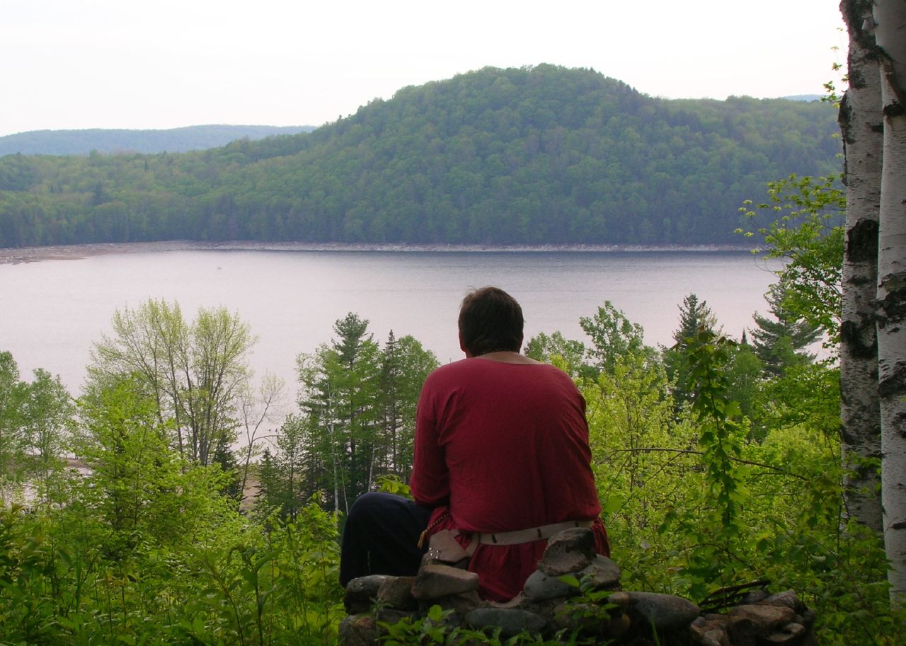
Thoughtful Thorson
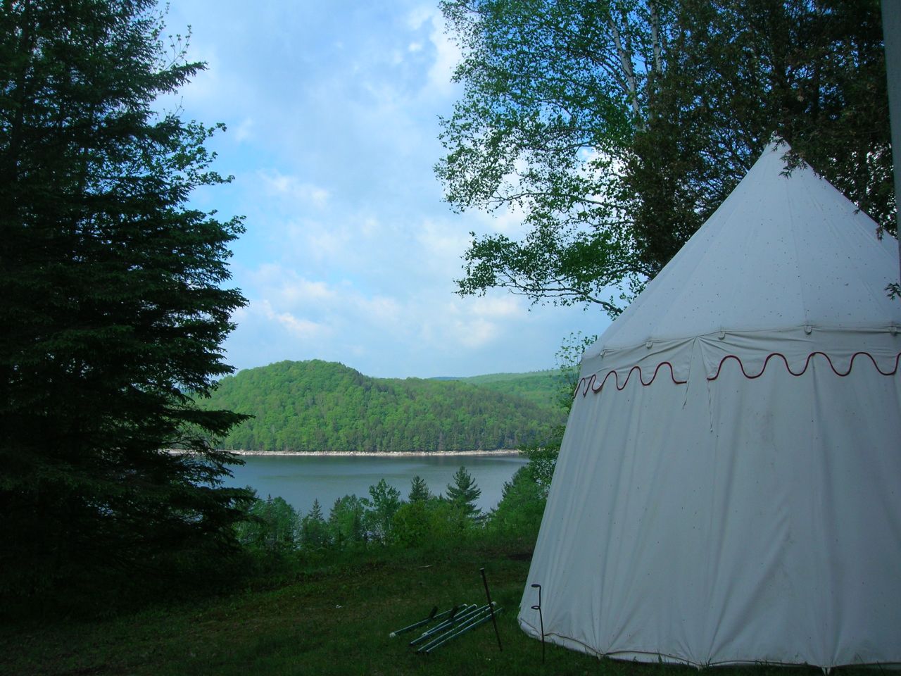
2007-05-27 Panteria View w Tent
Peacham Panorama
Come for the view, stay because you're dead.
The US as Seen From Vermont

Prime Picnic Spot
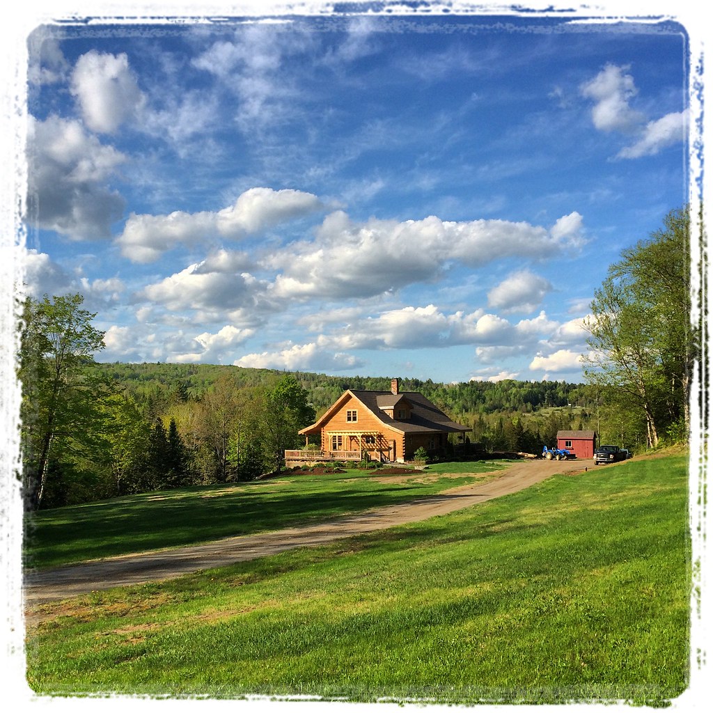
View from the front yard

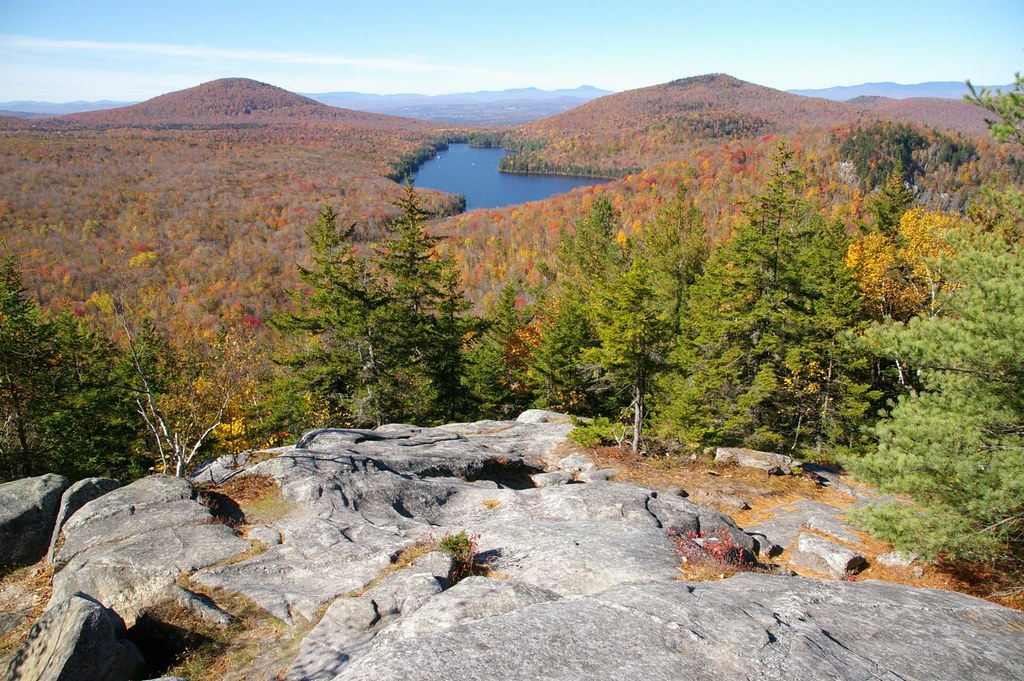
Autumn at Nichols Ledge
Deer Mountain

End Of The Road
Upstairs Cabin View
View of the new cave site

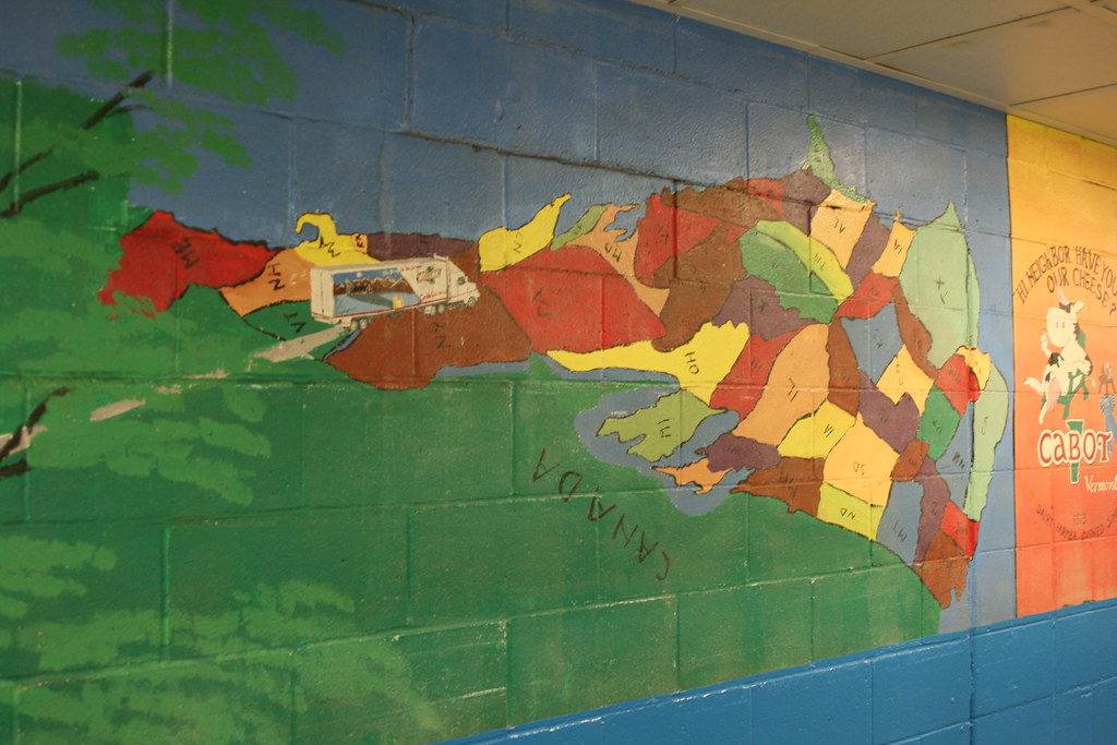
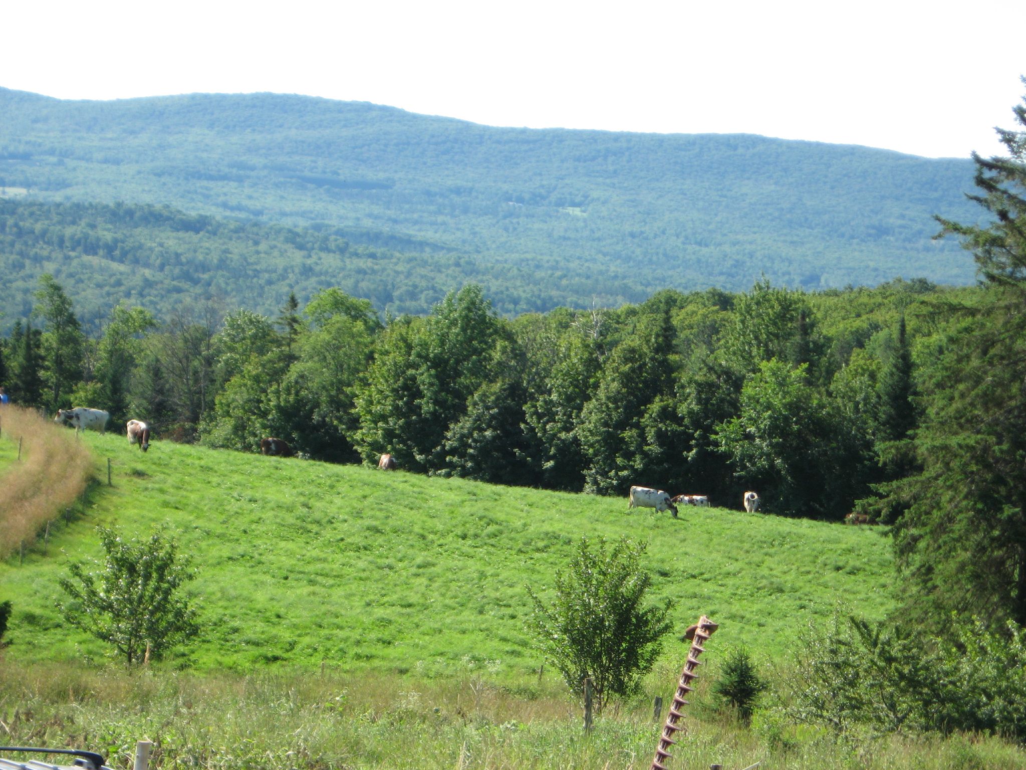
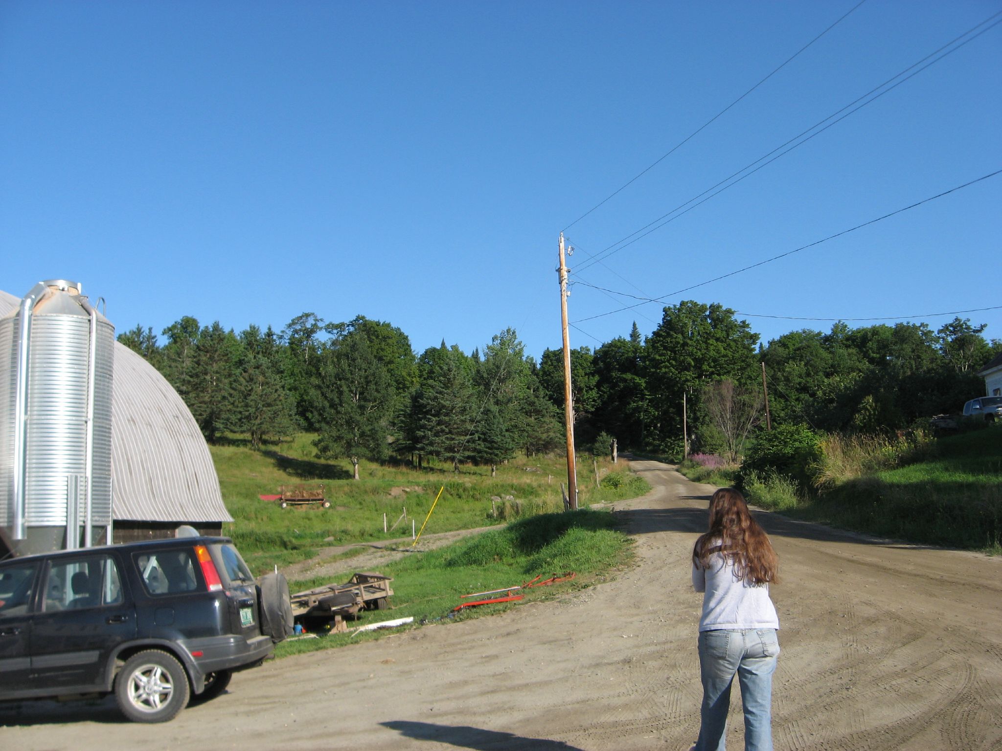
Cabot, VT - Farm

Greenwood Lake Foliage

Peacham, Vermont

Milky Way over the Foster Covered Bridge
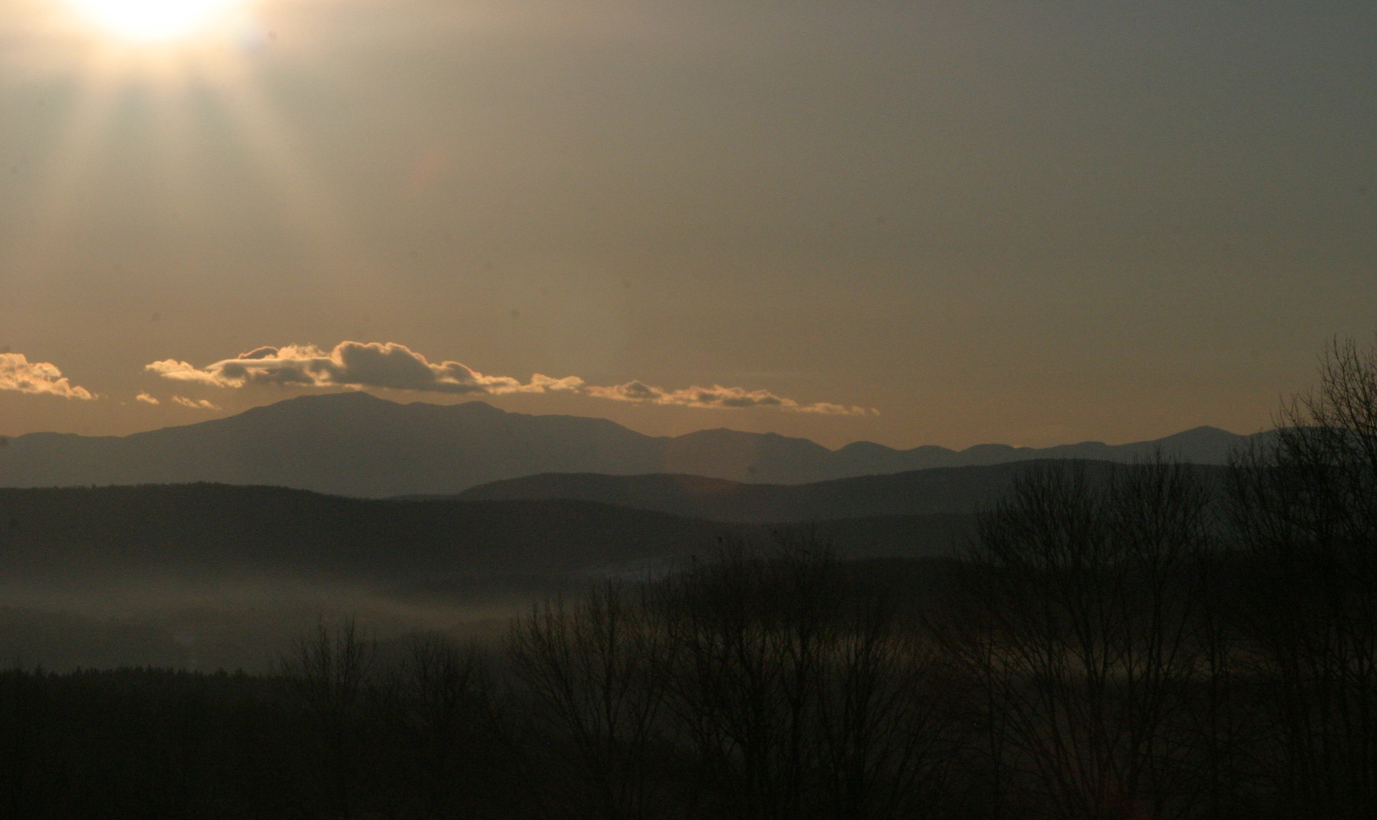
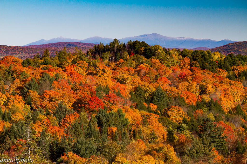
Sunrise over the White Mountains
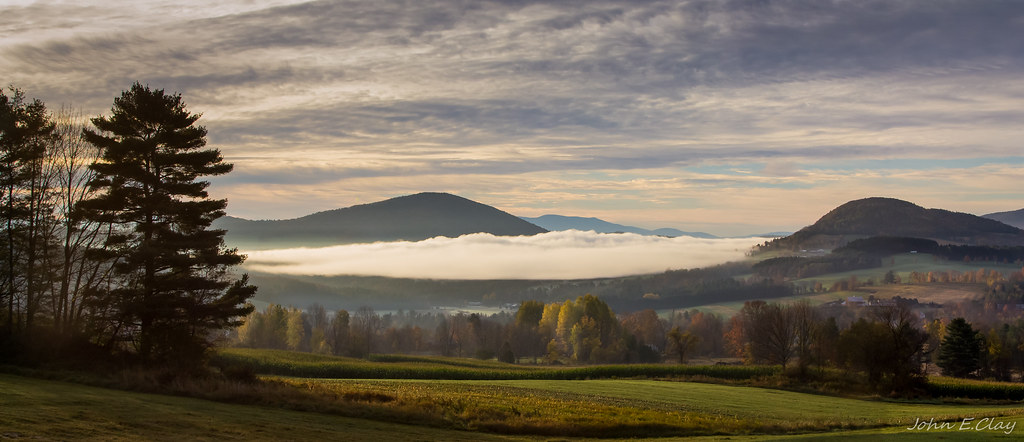
The Valley

A.M. Foster Covered Bridge
t42_908420151012_DSC5621.jpg

Autumn at the Foster Covered Bridge
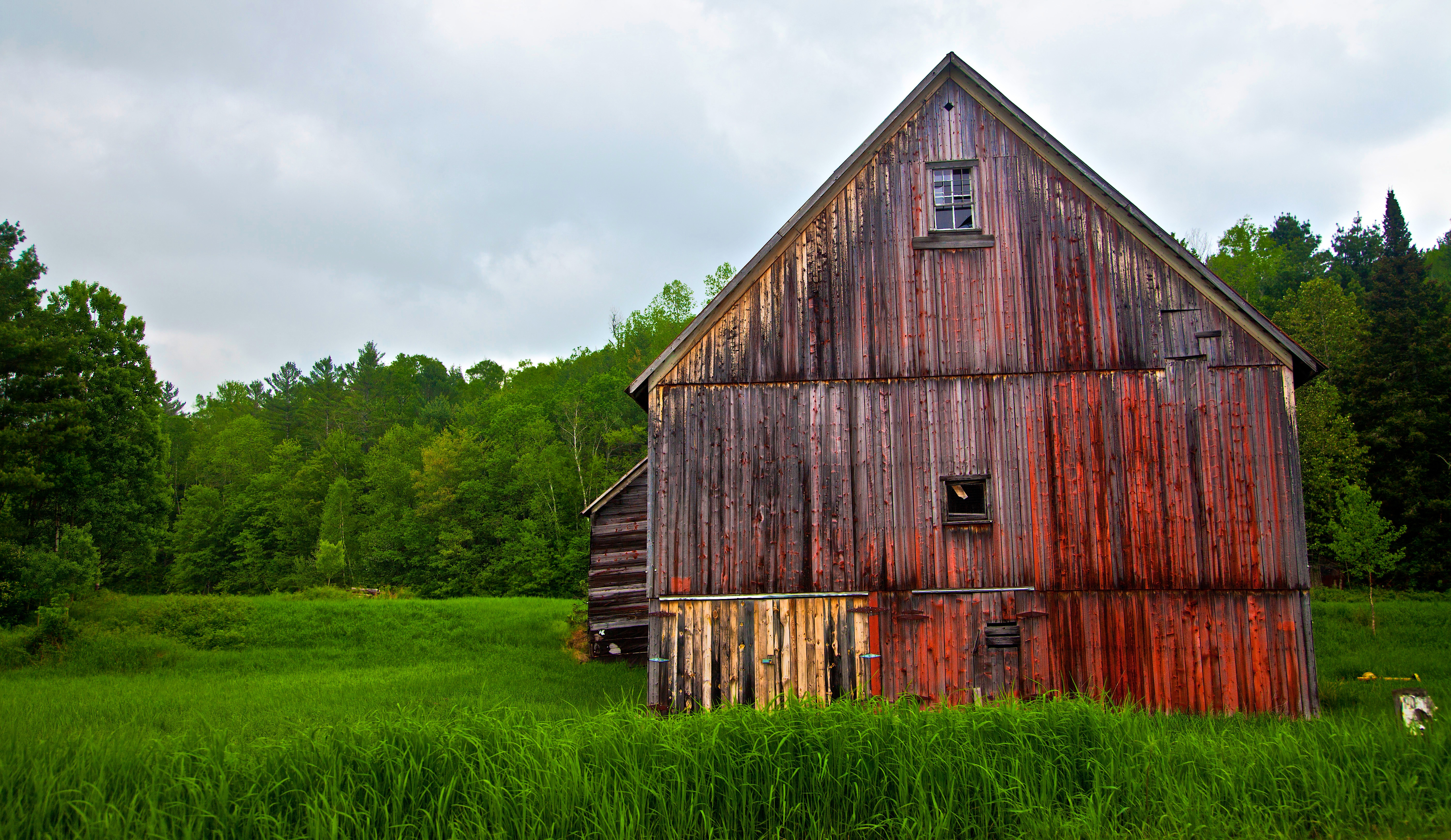
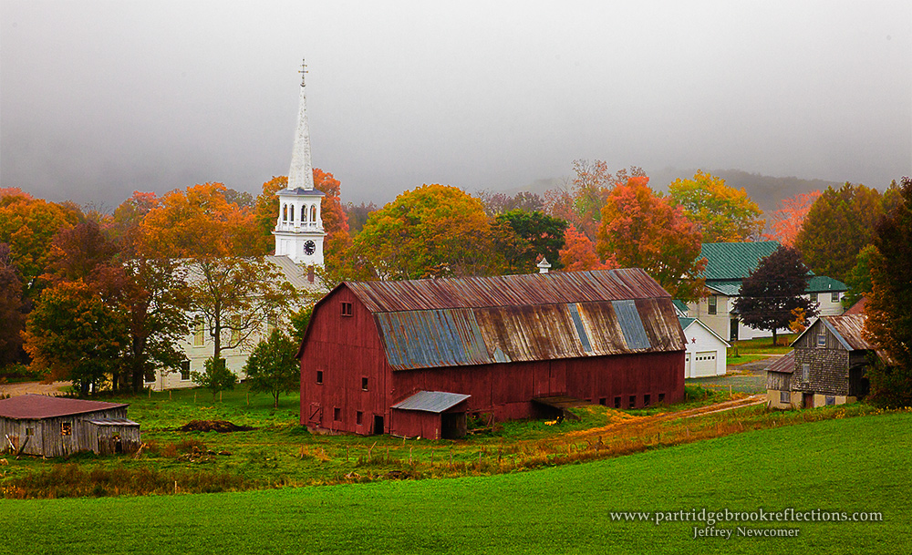
Vermont Barn along State Road 14 near South Woodbury near Sabin Pond - JoeyBLS Photography
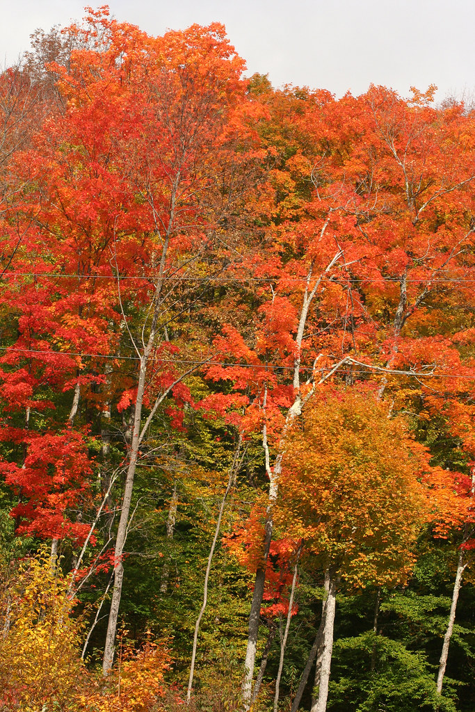
Colorful Ridge
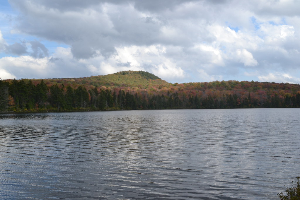
Mollys Fall Pond 2

Cloudy Day in Danville
bvdm-20090603-001

Springtime in Vermont

25 May 2014

A.M. Foster Covered Bridge
25 May 2014

Somewhere in New England
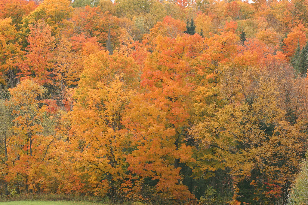
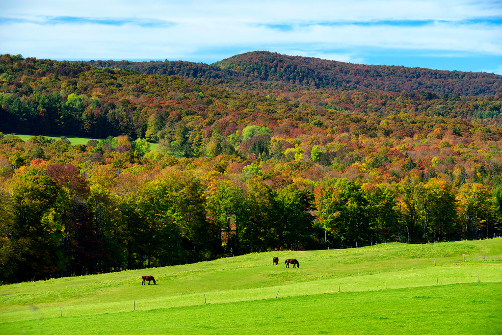
Vermont Fall Foliage
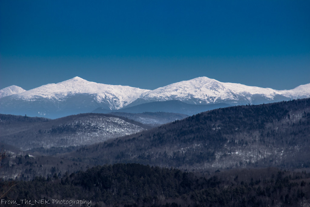
White Mountains
Topographic Map of Lyford West Shore, West Danville, VT, USA
Find elevation by address:

Places near Lyford West Shore, West Danville, VT, USA:
Walden Heights
207 Vt-215
207 Vt-215
Upper Harrington Hill
1547 Bricketts Crossing Rd
330 Bayley Hazen Rd
2175 Vt-15
Walden
5 Audet Pl
116 Noyestar Rd
705 Noyestar Rd
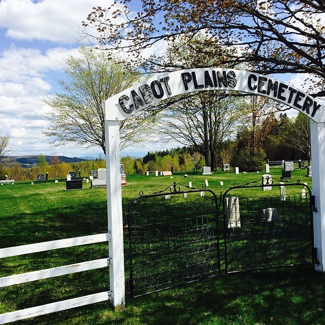
Cabot Plains Cemetery
640 W Shore Rd
Cobb Rd, West Danville, VT, USA
Cabot, VT, USA
Cove Road
131 Cross Rd
Backroads Farm Llc
596 Vt-15
1636 S Walden Rd
Recent Searches:
- Elevation of Corso Fratelli Cairoli, 35, Macerata MC, Italy
- Elevation of Tallevast Rd, Sarasota, FL, USA
- Elevation of 4th St E, Sonoma, CA, USA
- Elevation of Black Hollow Rd, Pennsdale, PA, USA
- Elevation of Oakland Ave, Williamsport, PA, USA
- Elevation of Pedrógão Grande, Portugal
- Elevation of Klee Dr, Martinsburg, WV, USA
- Elevation of Via Roma, Pieranica CR, Italy
- Elevation of Tavkvetili Mountain, Georgia
- Elevation of Hartfords Bluff Cir, Mt Pleasant, SC, USA