Elevation of West Creek Road, W Creek Rd, South Carolina, USA
Location: United States > South Carolina > Lexington County > Batesburg-leesville >
Longitude: -81.550411
Latitude: 33.962155
Elevation: 148m / 486feet
Barometric Pressure: 100KPa
Elevation Map:
Satellite Map:
Related Photos:

View of Campus

A Camelia remains

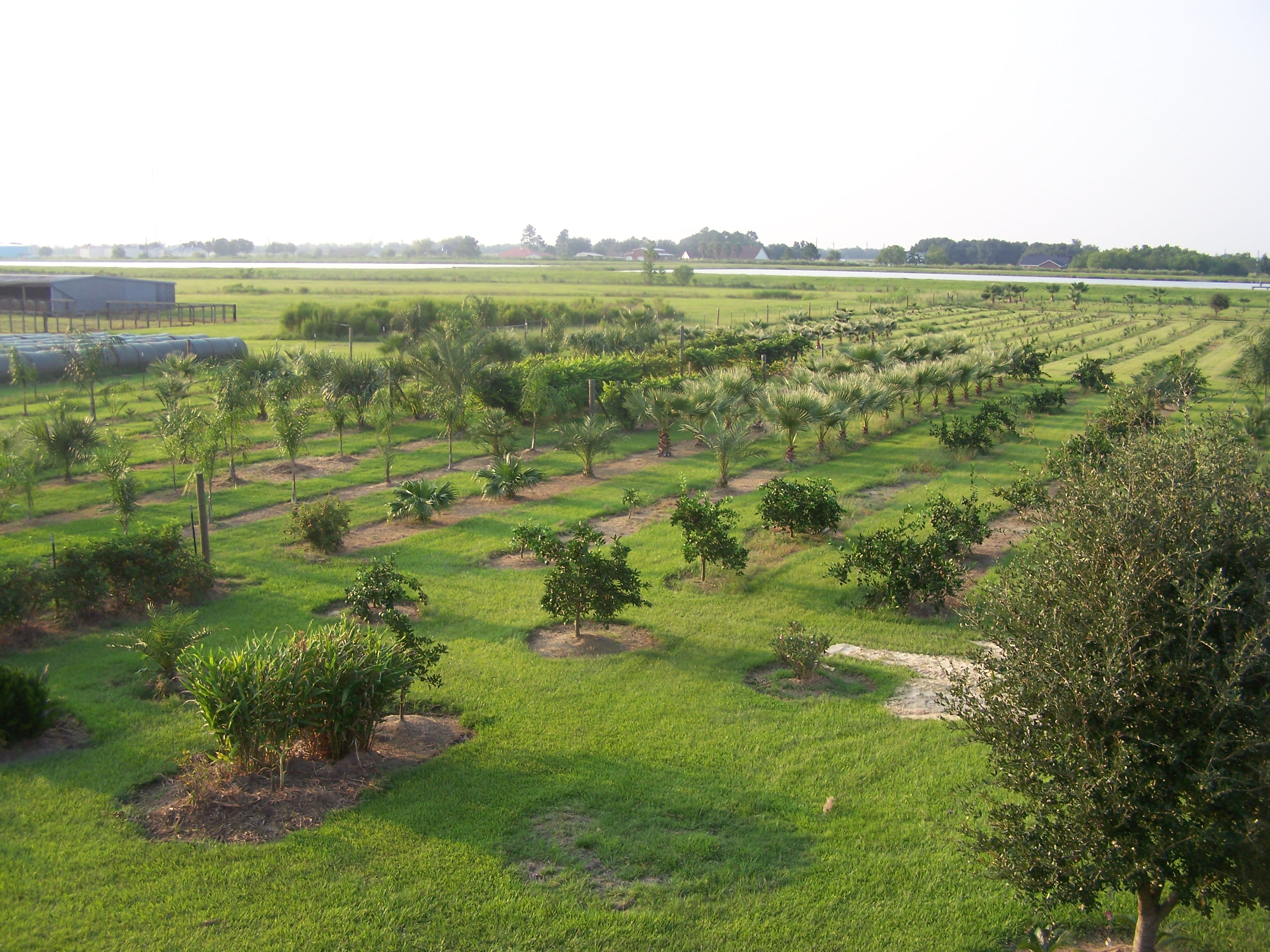
Watsonia Farms

EAT THIS CAKE!
Grain Elevator
Old Gas Pump 2

Old Gas Pump

Batesburg 1

Big Mo

old farm house infrared

Main Street - Monetta, S.C.

Charleston Avenue Finite

Cotton Field Sunrise

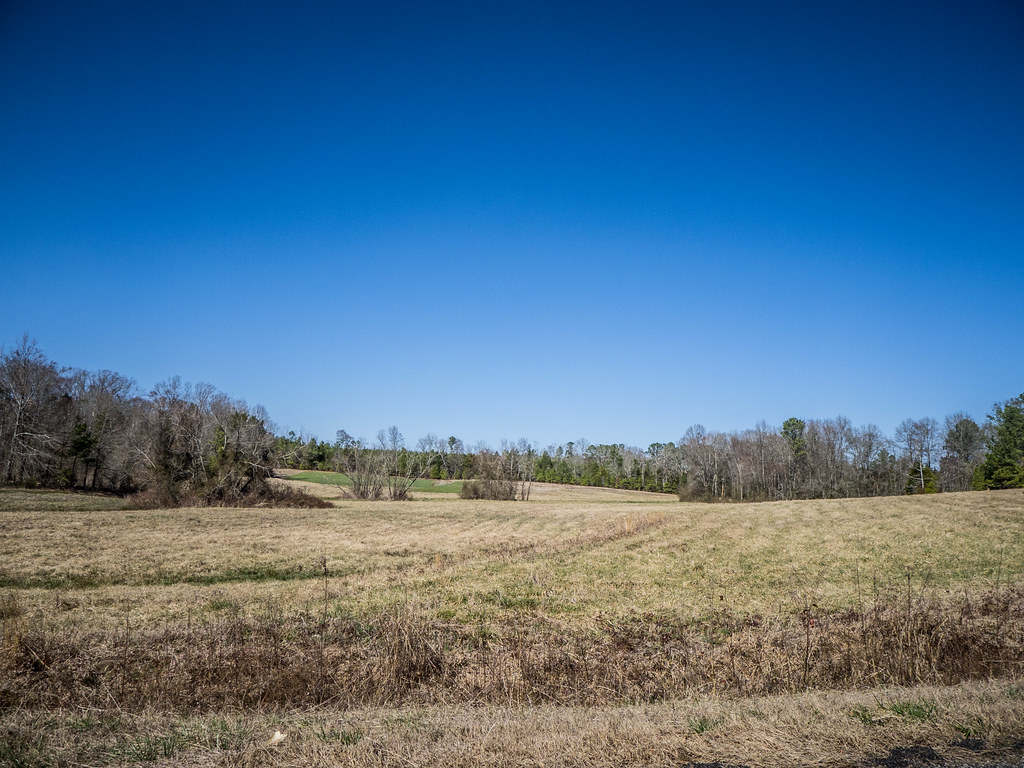
Roadside Hayfield

Made it just in time. #sunset #lakemurray
Lake on Mar 1
Lake Panorama.
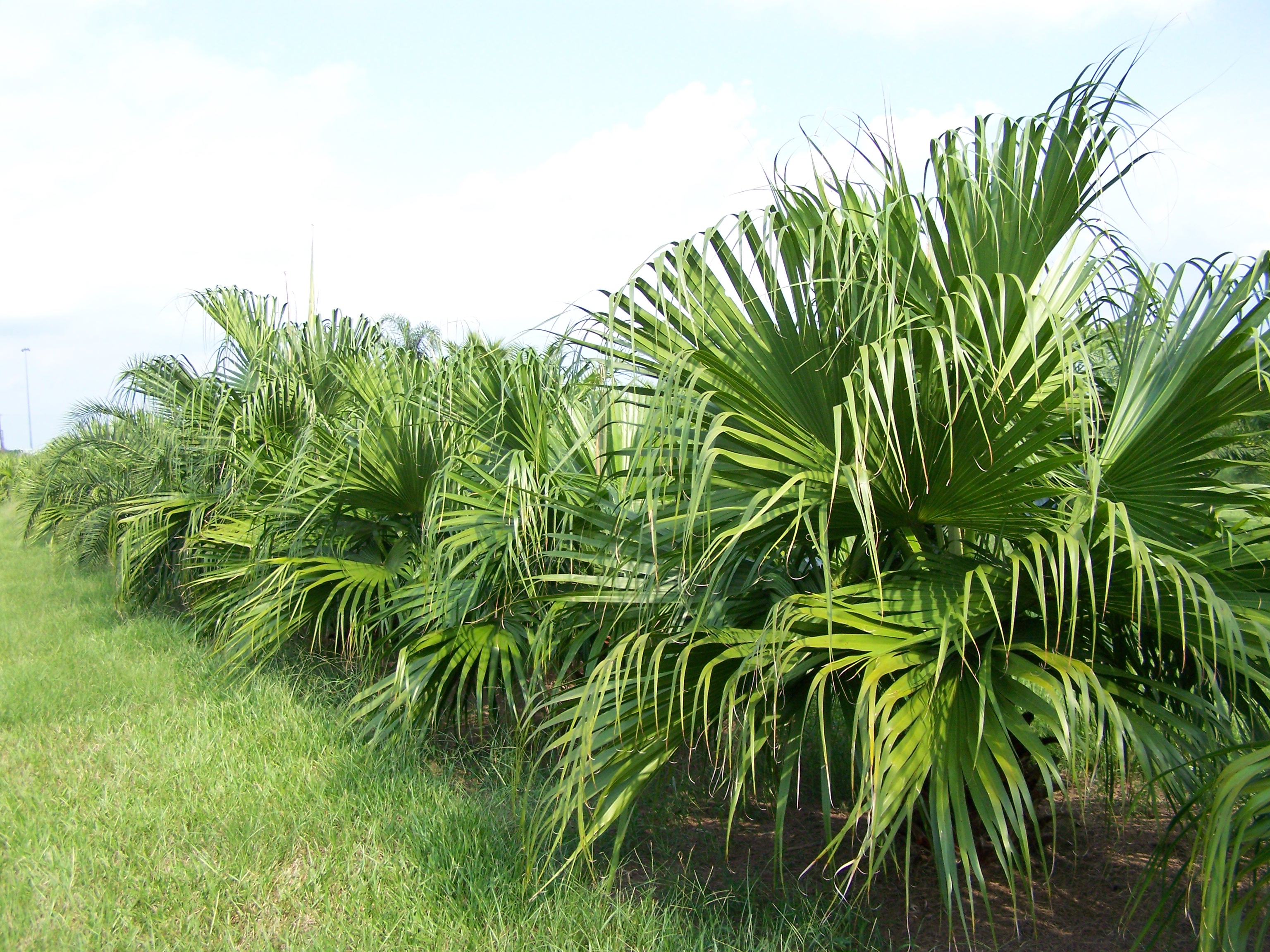
Chinese Fan

Mexican Fan
Mount Willing-001

X-700Roll5-026
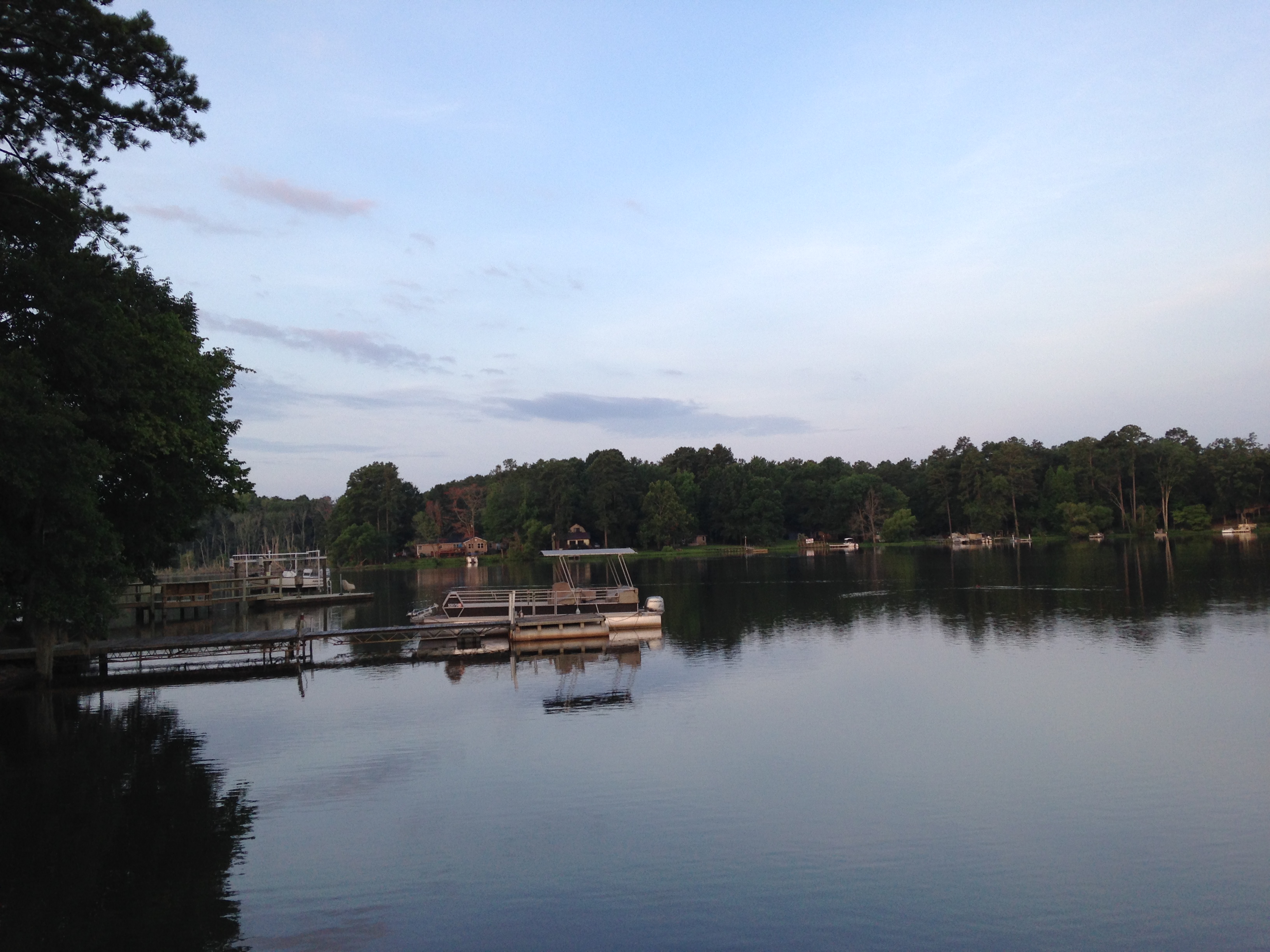
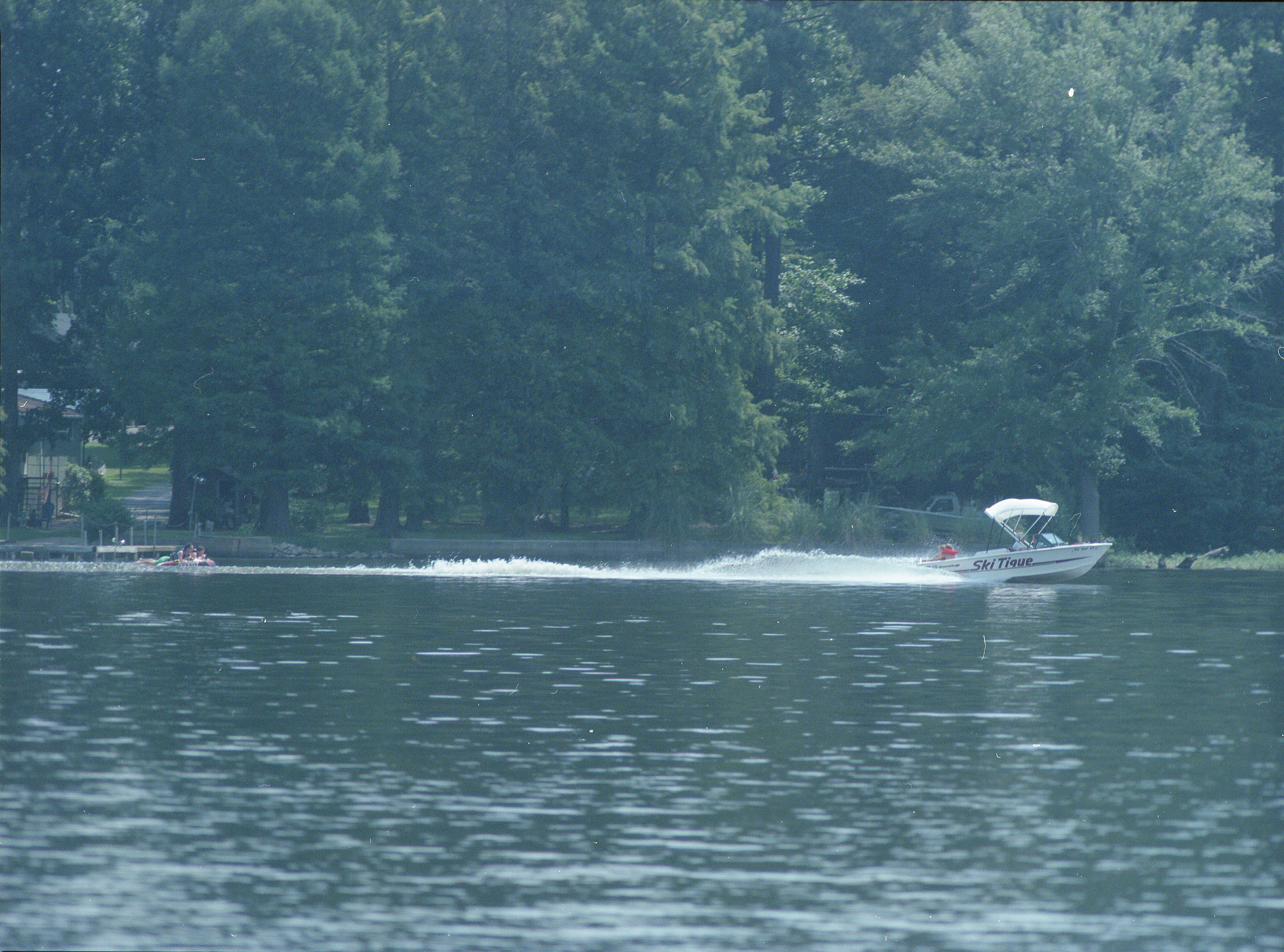
Lake Murray, SC
Back yard
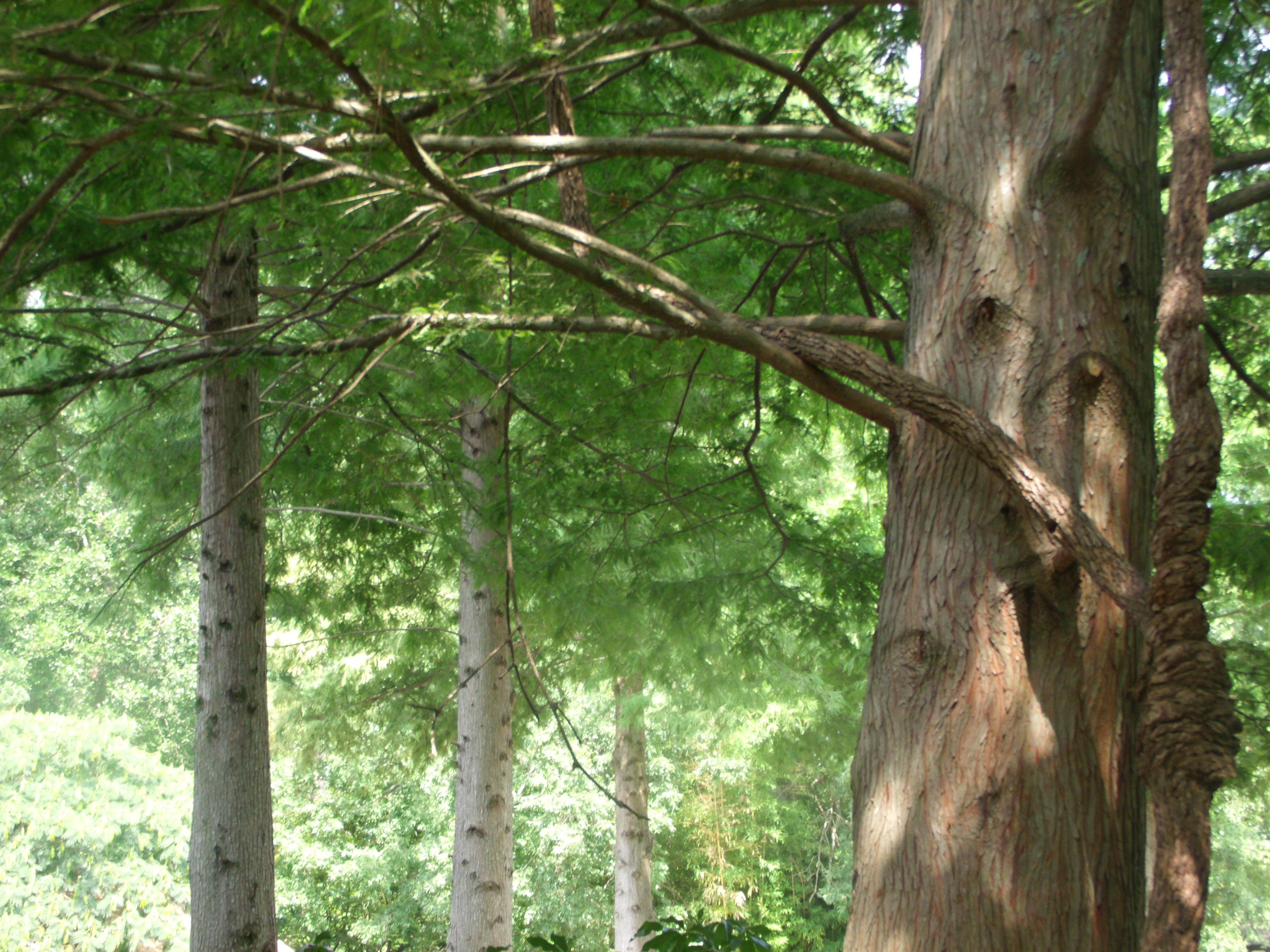
Knotts on a Tree
KodakPortra400-Roll7002
Lake Murray, SC

Lake Murray, SC

Lake Murray

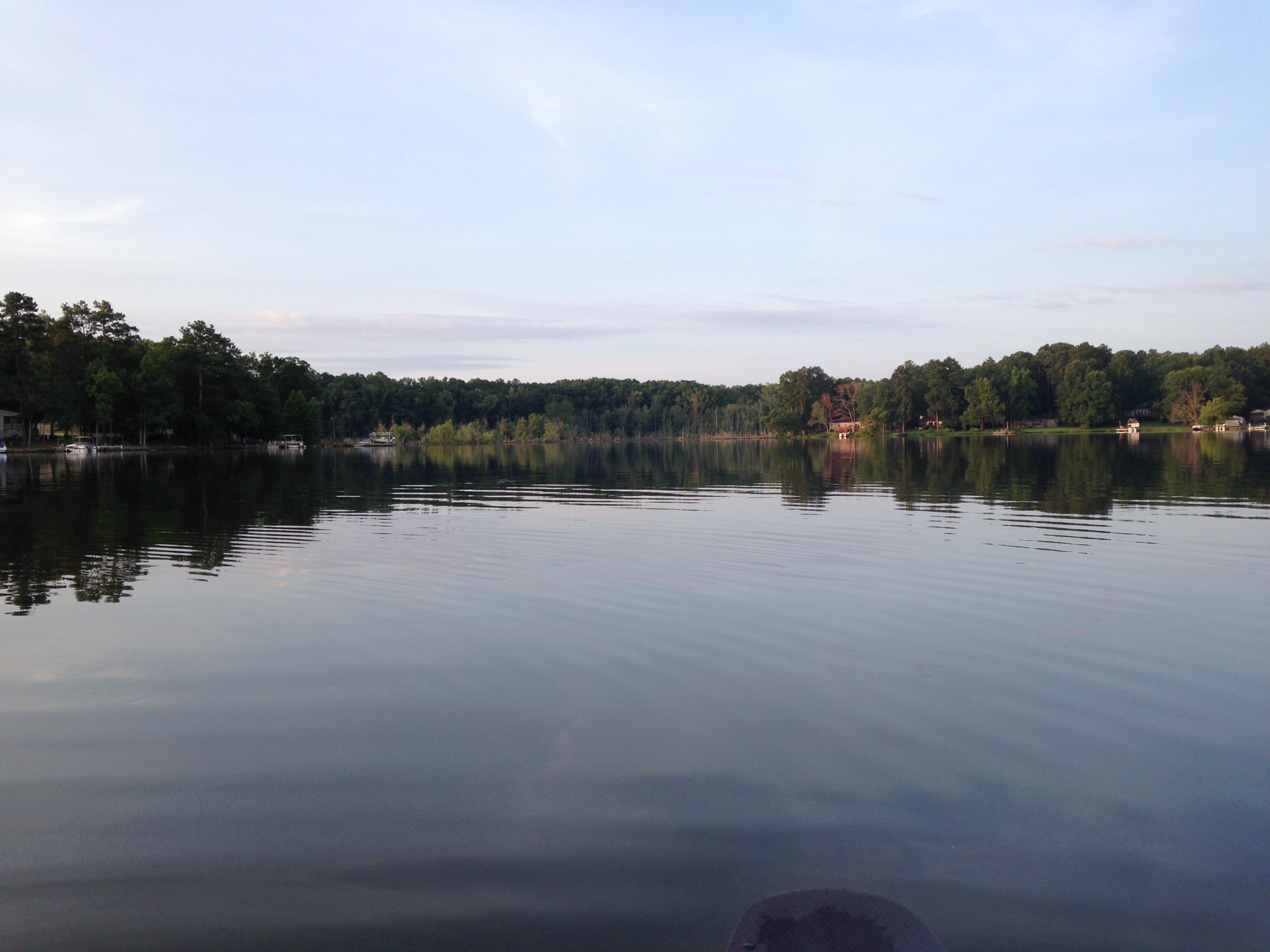
Sunset on the Lake
Topographic Map of West Creek Road, W Creek Rd, South Carolina, USA
Find elevation by address:

Places near West Creek Road, W Creek Rd, South Carolina, USA:
1806 Dog Leg Rd
128 Bob Sharpe Point
Lakeshore Dr, Leesville, SC, USA
1038 Vansant Rd
Rock North Creek Road
Rock N Creek Rd, Leesville, SC, USA
284 Breezy Bay Dr
695 Newberry Shores Dr
Holley Ferry Rd, Leesville, SC, USA
Burnt Oak Lane
101 Breezy Pointe Ln
36 Bay Ct
1321 Sundown Ct
825 Foxden Rd
204 Mill Point Ct
229 Lake Estate Dr
1208 Calks Ferry Rd
113 Spinnaker Pointe Dr
117 Orchard Pl Ct
828 E Island Run
Recent Searches:
- Elevation of Corso Fratelli Cairoli, 35, Macerata MC, Italy
- Elevation of Tallevast Rd, Sarasota, FL, USA
- Elevation of 4th St E, Sonoma, CA, USA
- Elevation of Black Hollow Rd, Pennsdale, PA, USA
- Elevation of Oakland Ave, Williamsport, PA, USA
- Elevation of Pedrógão Grande, Portugal
- Elevation of Klee Dr, Martinsburg, WV, USA
- Elevation of Via Roma, Pieranica CR, Italy
- Elevation of Tavkvetili Mountain, Georgia
- Elevation of Hartfords Bluff Cir, Mt Pleasant, SC, USA