Elevation of Orchard Pl Ct, Lexington, SC, USA
Location: United States > South Carolina > Lexington County > Lexington >
Longitude: -81.327499
Latitude: 34.0094738
Elevation: 132m / 433feet
Barometric Pressure: 100KPa
Elevation Map:
Satellite Map:
Related Photos:
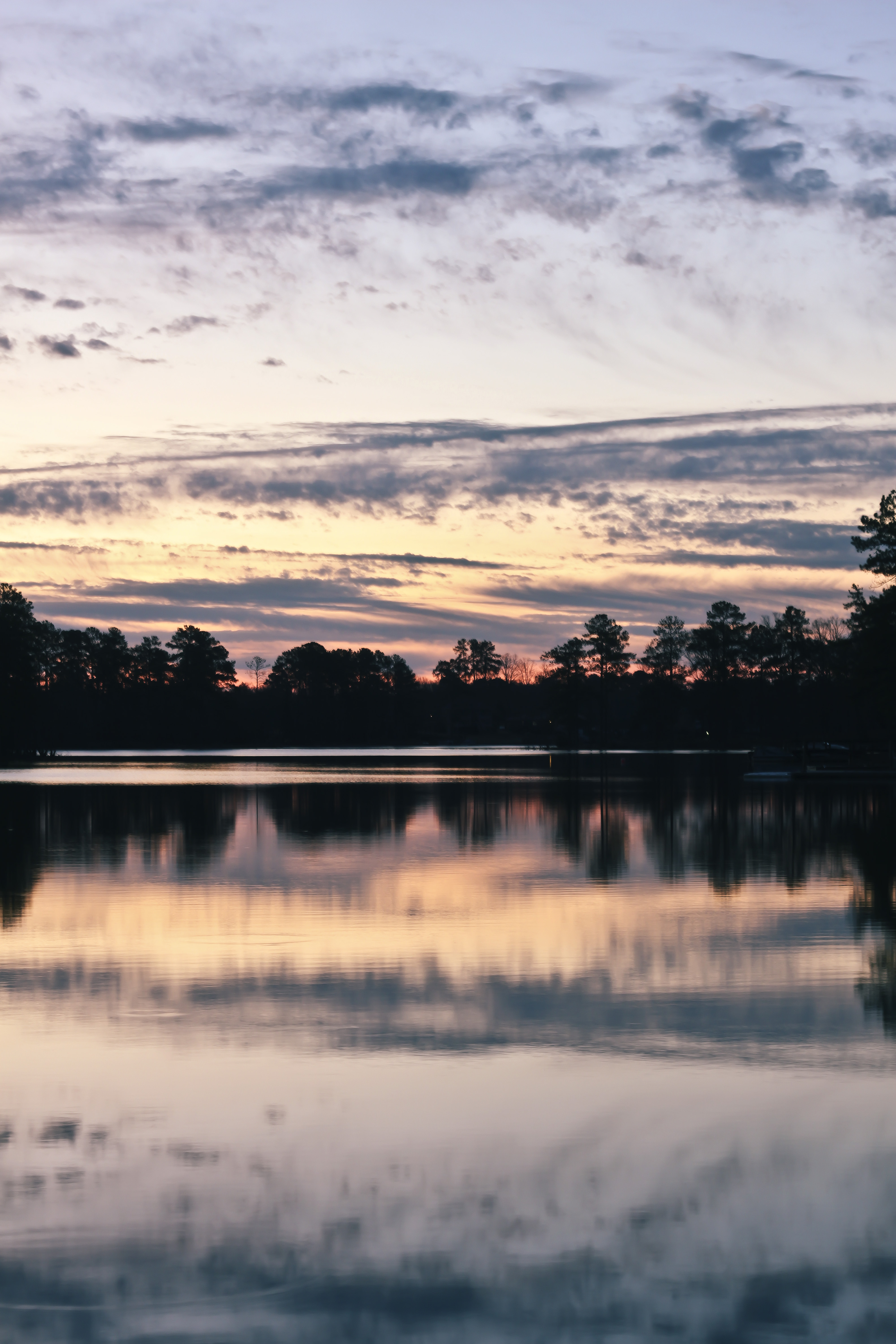
Sunrise on Lake Murray

Skewed View
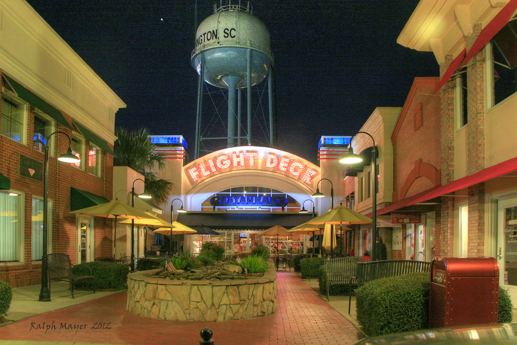
Night view of the Flight Deck Restaurant in Lexington, SC
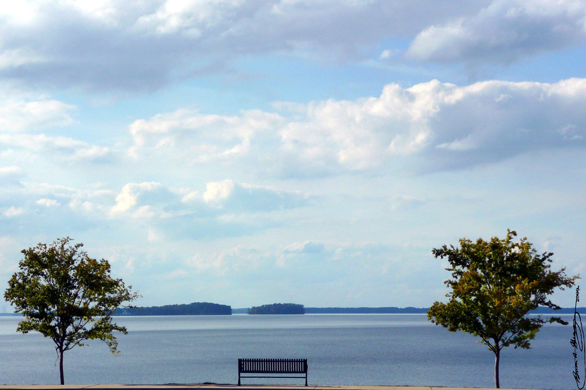
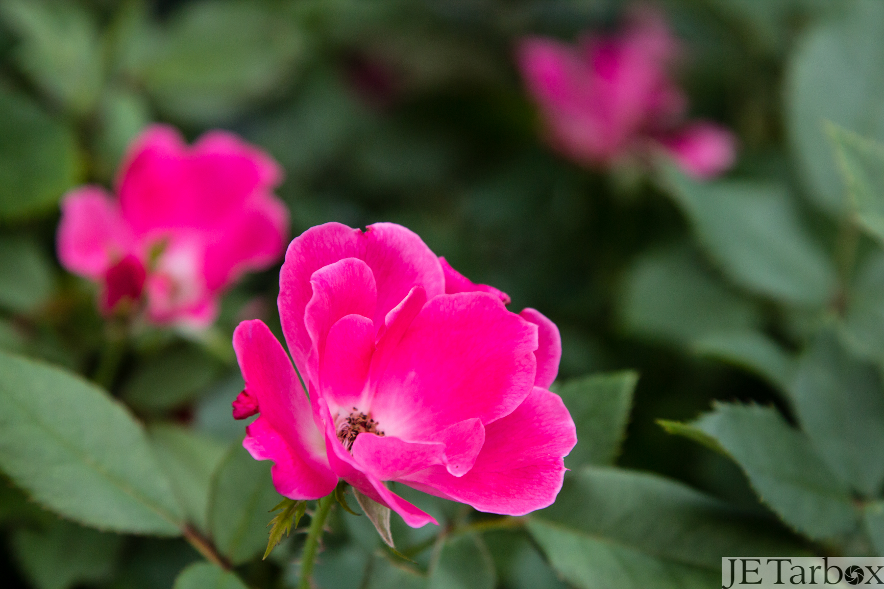
Enjoy the View

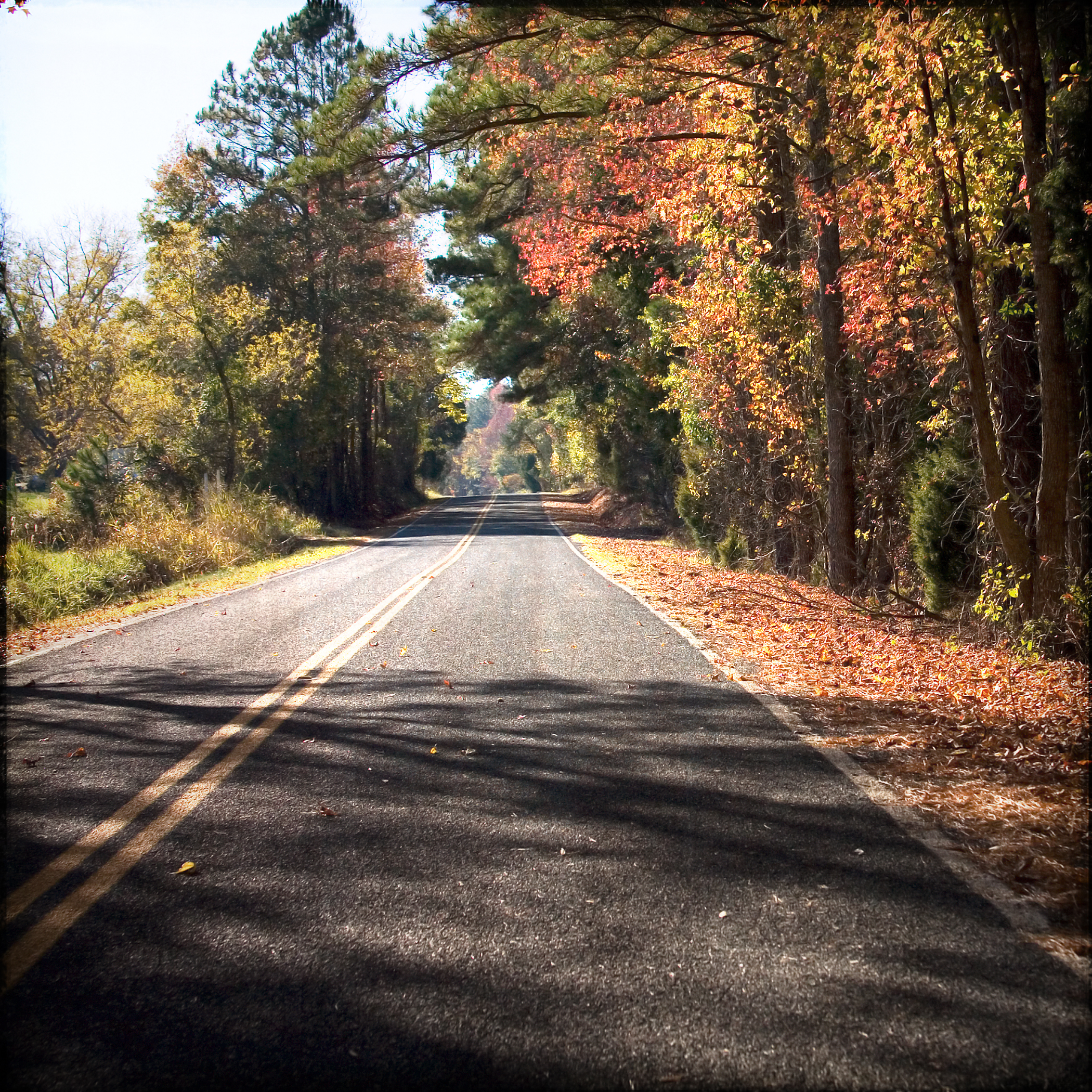
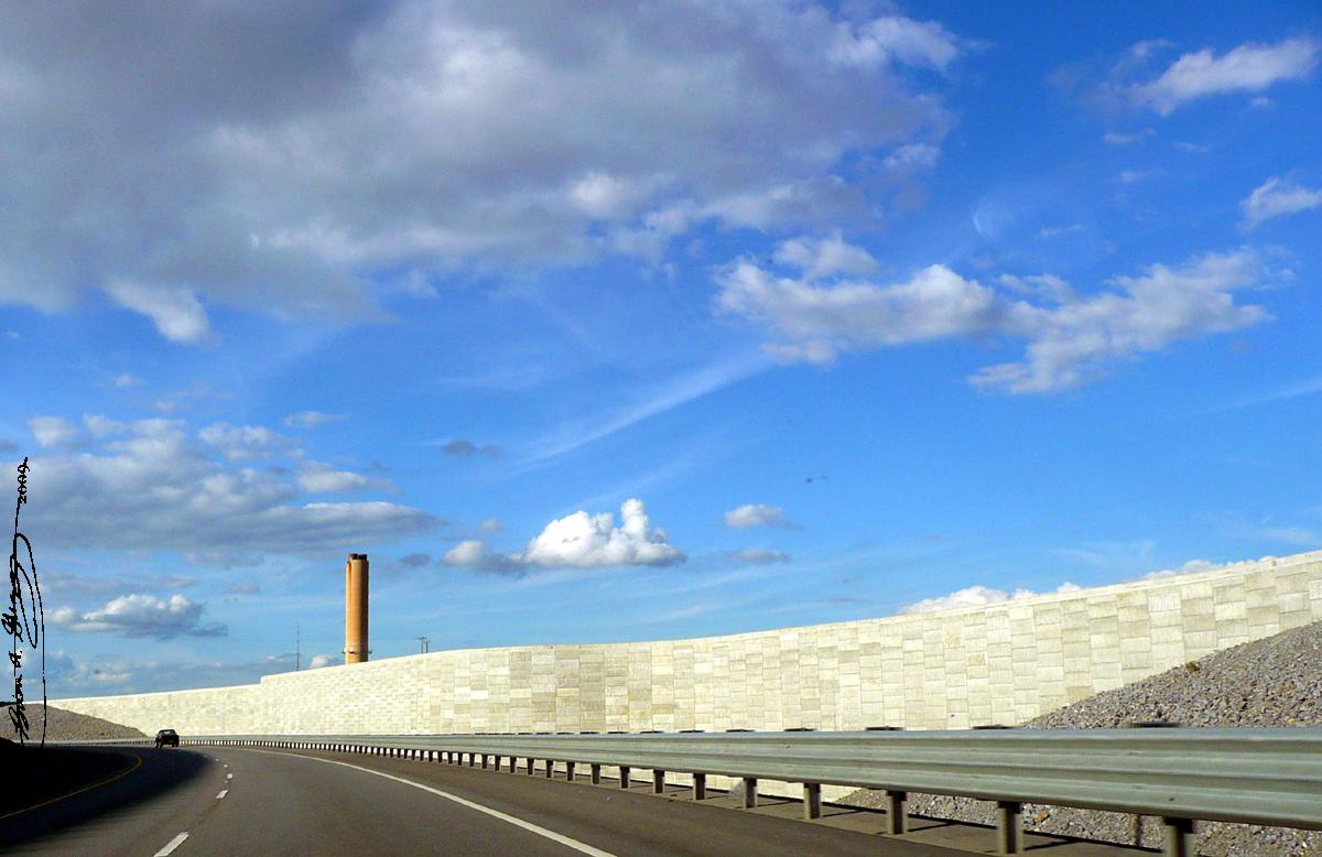
The Dam Road HDR
Perfect Day

06DEC12: looking back
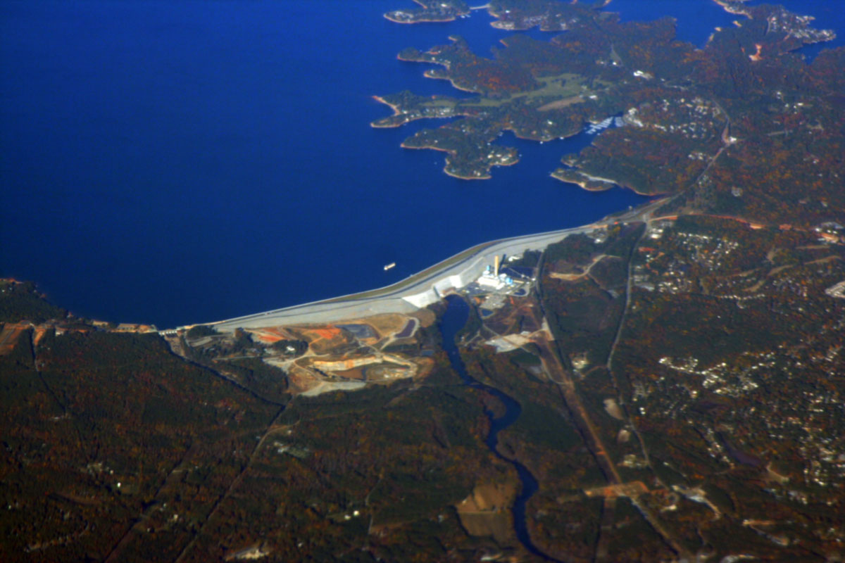
Dam High
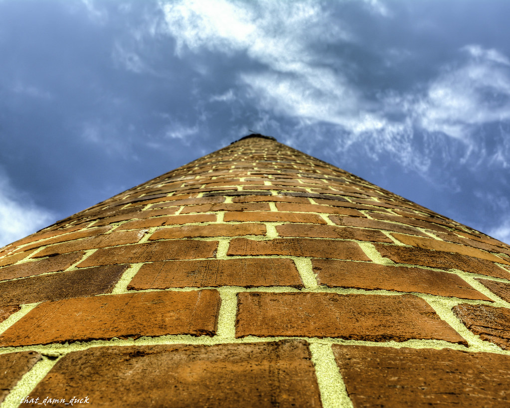
Looking Up the Old Lexington Mill Tower in Lexington South Carolina

Where the heart is
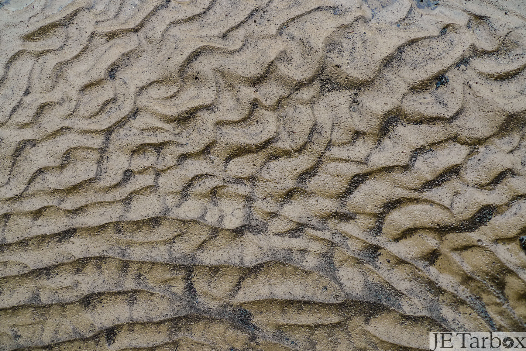
20AUG13: sand
BR573 Lake Murray EWR to RSW
03NOV13: into the light
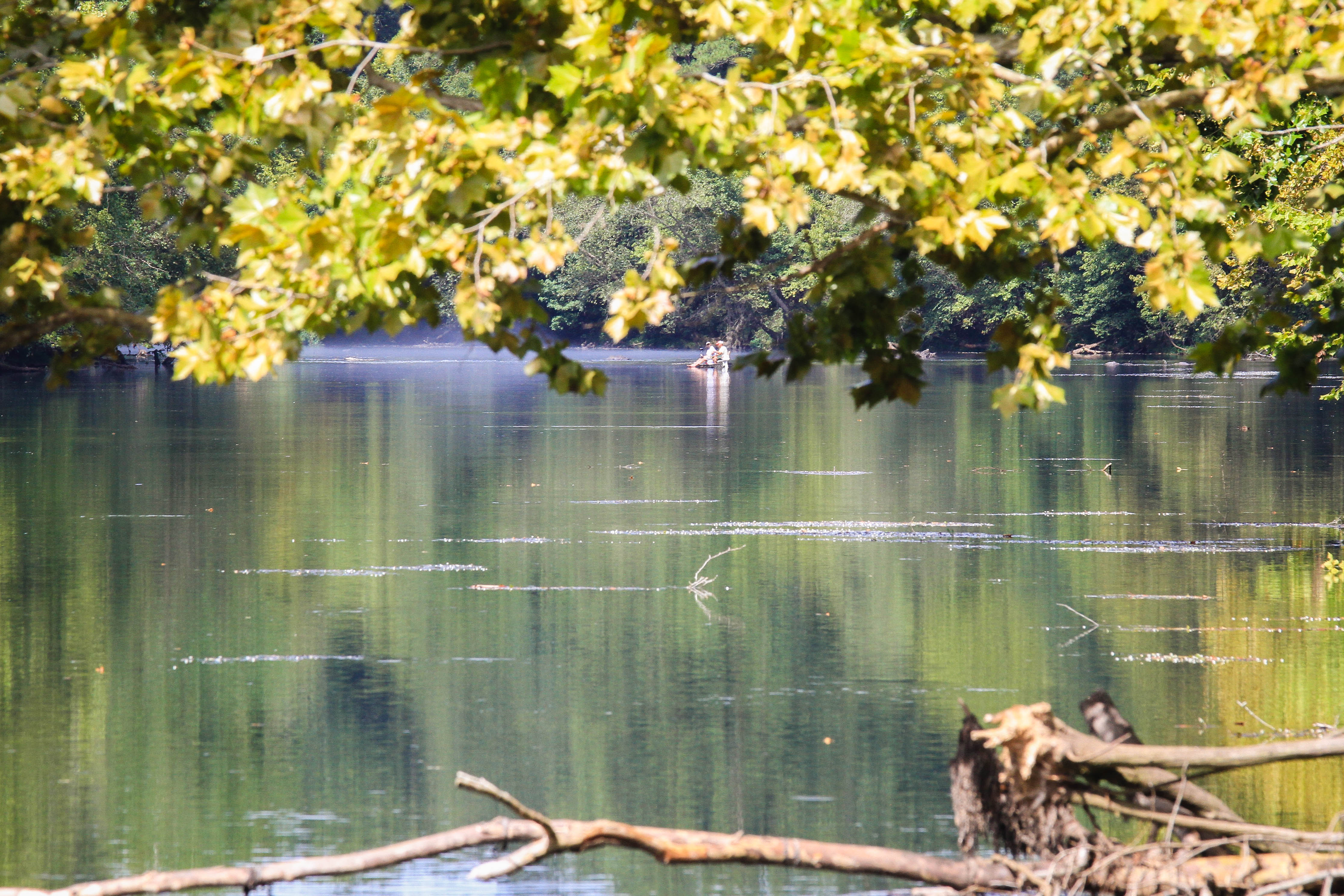
Saluda River - Irmo, S.C.

11AUG13: backyards
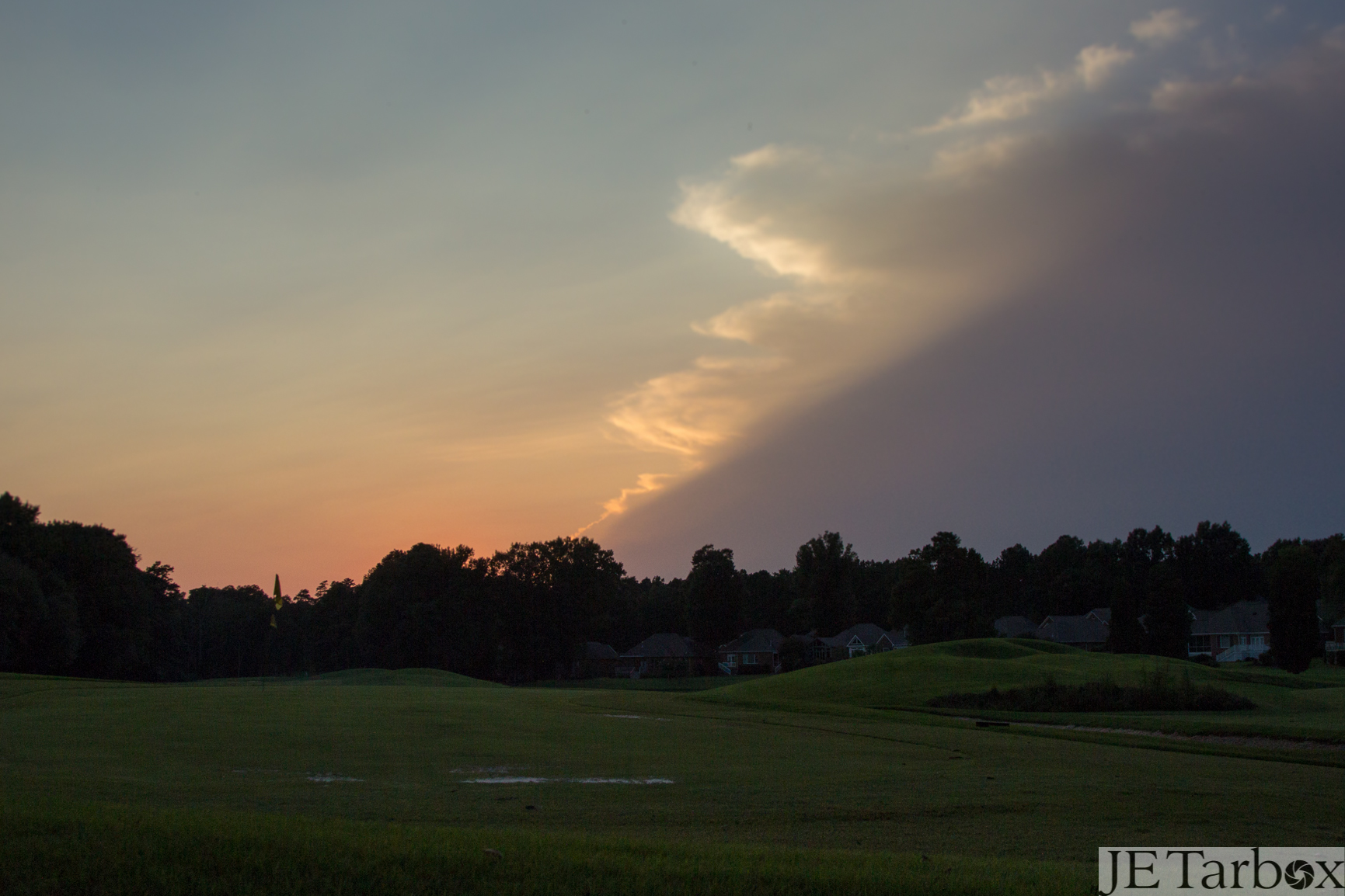
23AUG13: storm

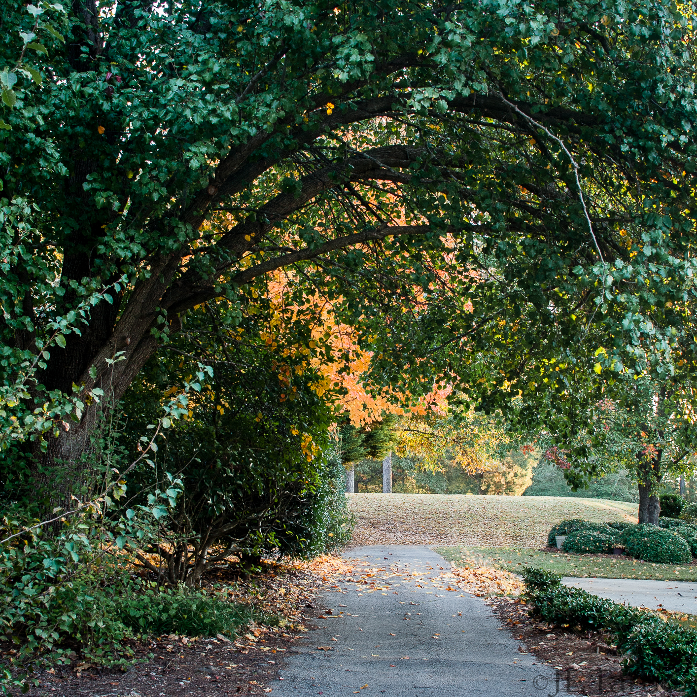
28OCT13: little yellow leaf
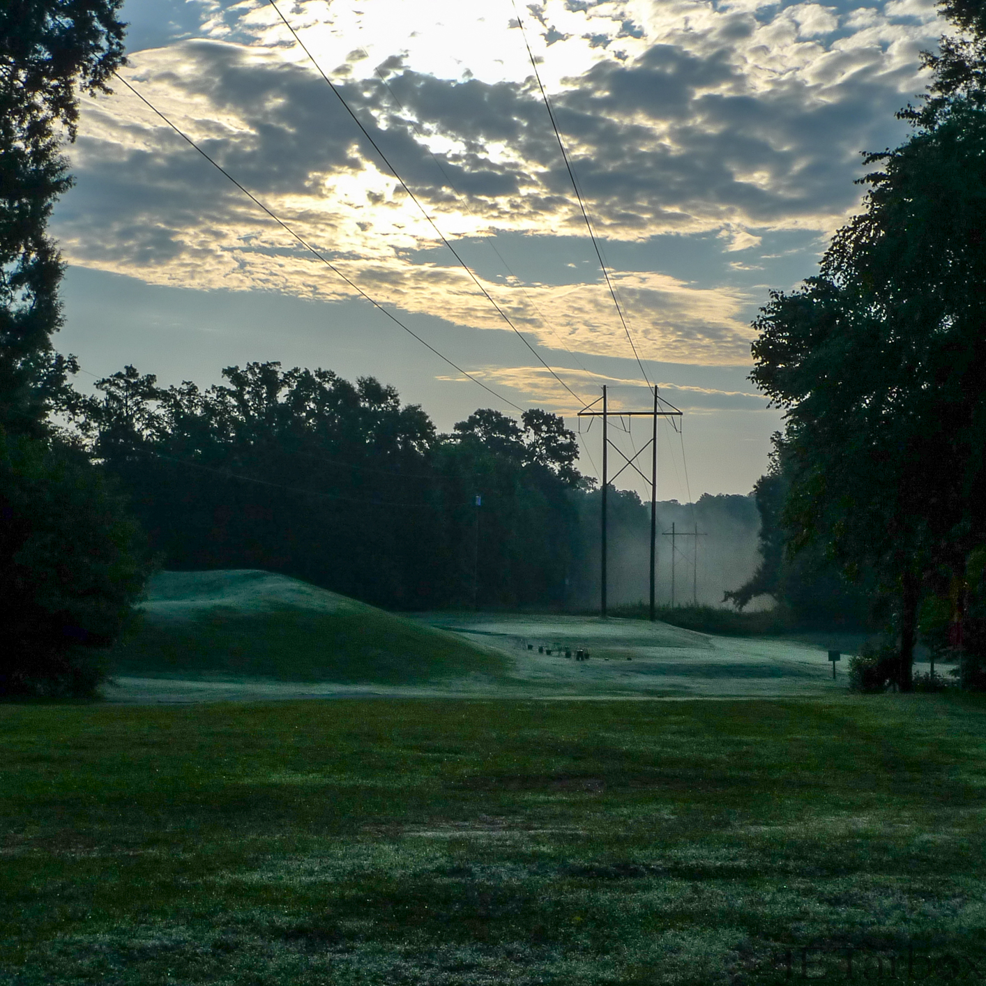
13JUN14: powerline morning view
12AUG13: knock out
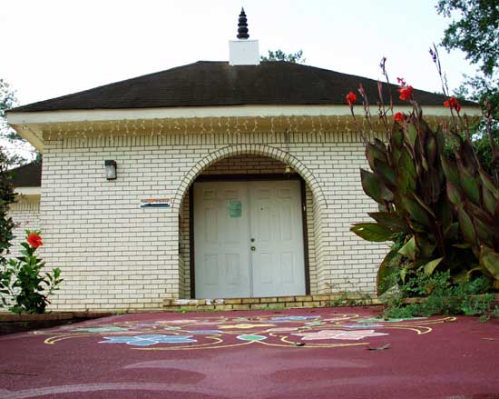
Hindu Temple and Cultural Center of South Carolina (Columbia, SC)

Well written narrative about the attack on the Benghazi Diplomatic compound. Written from the point of view of the GRS operators. #13hoursinbenghazi #mitchellzuckoff #bookclub #booklovers #bookstagram #booknumber7 #rwbookclub #goodreads #books #homelibrar
Topographic Map of Orchard Pl Ct, Lexington, SC, USA
Find elevation by address:

Places near Orchard Pl Ct, Lexington, SC, USA:
113 Rockridge Ct
182 Charter Oak Road
201 Serenity Dr
406 Oxford Rd
825 Foxden Rd
1208 Calks Ferry Rd
413 Mill Creek Rd
113 Spinnaker Pointe Dr
1321 Sundown Ct
117 Saks Ave
828 E Island Run
229 Lake Estate Dr
204 Mill Point Ct
125 Glynway Ave
Village Green Estates By D.r. Horton America's Builder
Lexington
308 E Main St
284 Breezy Bay Dr
378 Sunset Blvd
101 Breezy Pointe Ln
Recent Searches:
- Elevation of Corso Fratelli Cairoli, 35, Macerata MC, Italy
- Elevation of Tallevast Rd, Sarasota, FL, USA
- Elevation of 4th St E, Sonoma, CA, USA
- Elevation of Black Hollow Rd, Pennsdale, PA, USA
- Elevation of Oakland Ave, Williamsport, PA, USA
- Elevation of Pedrógão Grande, Portugal
- Elevation of Klee Dr, Martinsburg, WV, USA
- Elevation of Via Roma, Pieranica CR, Italy
- Elevation of Tavkvetili Mountain, Georgia
- Elevation of Hartfords Bluff Cir, Mt Pleasant, SC, USA