Elevation of West Bayard, NE, USA
Location: United States > Nebraska > Morrill County >
Longitude: -103.28943
Latitude: 41.9529192
Elevation: 1338m / 4390feet
Barometric Pressure: 86KPa
Elevation Map:
Satellite Map:
Related Photos:
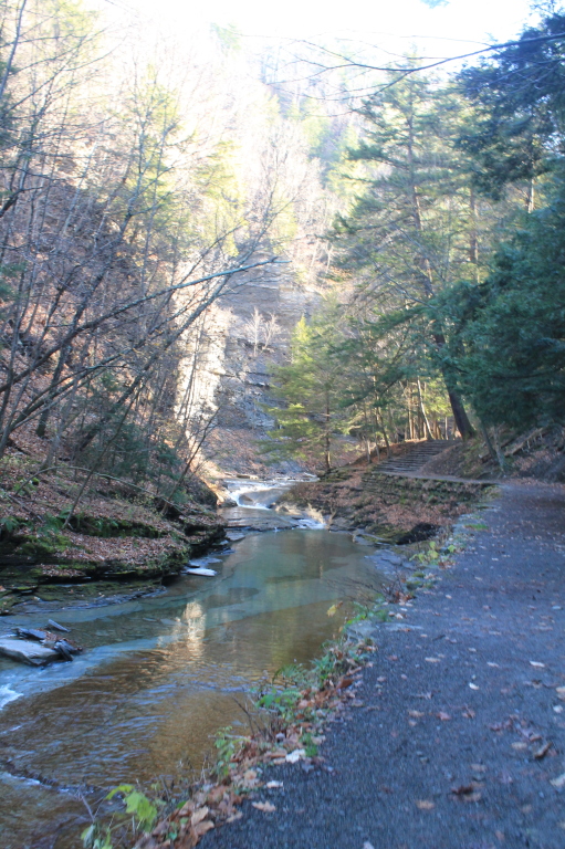
Heading Into the Gorge
Scottsbluff, Nebraska?
IMG_6863.jpg
Topographic Map of West Bayard, NE, USA
Find elevation by address:

Places in West Bayard, NE, USA:
Places near West Bayard, NE, USA:
Road 130
East Bayard
Bayard
Melbeta
Bentley St, Gering, NE, USA
York Dr, Scottsbluff, NE, USA
240762 Lake Minatare Rd
Castle Rock
West Camp Clarke
Funston
East Winters Creek
Bridgeport
2100 E Overland
Box Butte-wright-lake
Scotts Bluff County
4010 10th St
Terrytown
W 20th St, Scottsbluff, NE, USA
56 McGuire St, Gering, NE, USA
Scottsbluff
Recent Searches:
- Elevation of Corso Fratelli Cairoli, 35, Macerata MC, Italy
- Elevation of Tallevast Rd, Sarasota, FL, USA
- Elevation of 4th St E, Sonoma, CA, USA
- Elevation of Black Hollow Rd, Pennsdale, PA, USA
- Elevation of Oakland Ave, Williamsport, PA, USA
- Elevation of Pedrógão Grande, Portugal
- Elevation of Klee Dr, Martinsburg, WV, USA
- Elevation of Via Roma, Pieranica CR, Italy
- Elevation of Tavkvetili Mountain, Georgia
- Elevation of Hartfords Bluff Cir, Mt Pleasant, SC, USA