Elevation of Bayard, NE, USA
Location: United States > Nebraska > Morrill County > East Bayard >
Longitude: -103.32410
Latitude: 41.7549696
Elevation: 1145m / 3757feet
Barometric Pressure: 88KPa
Elevation Map:
Satellite Map:
Related Photos:
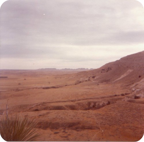
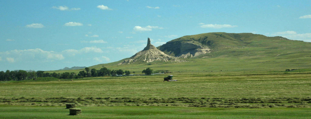
View Near Chimney Rock

Castle Rock

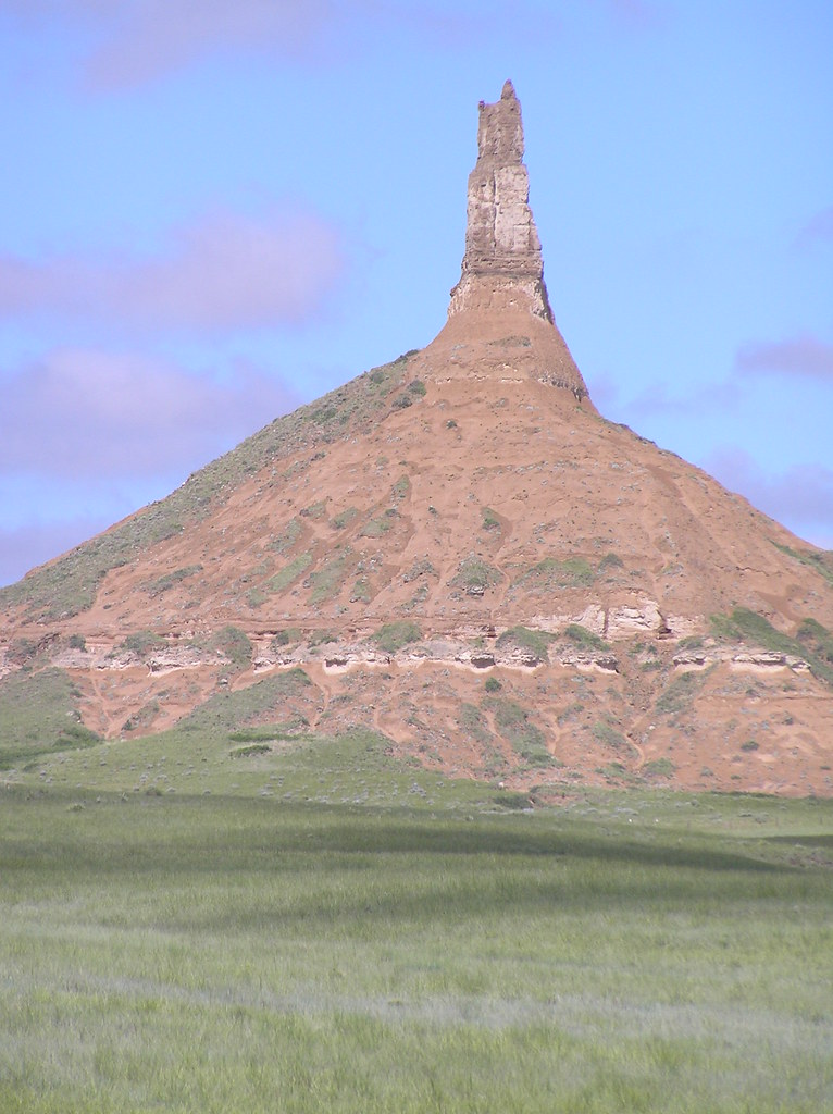
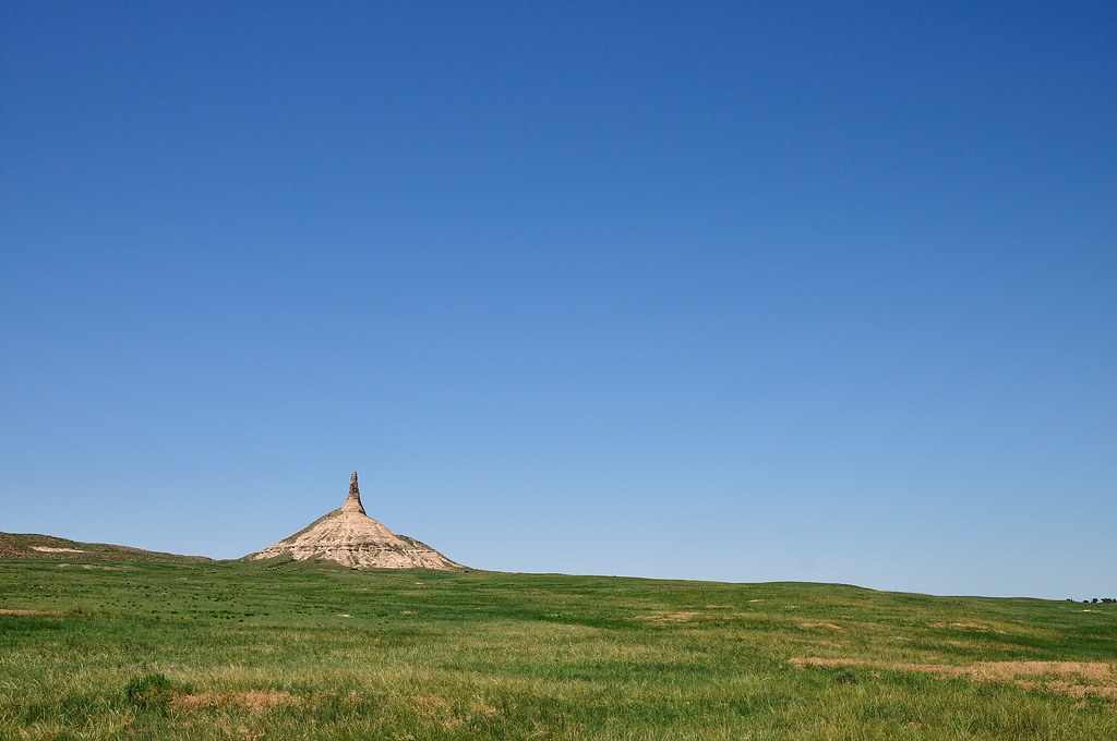
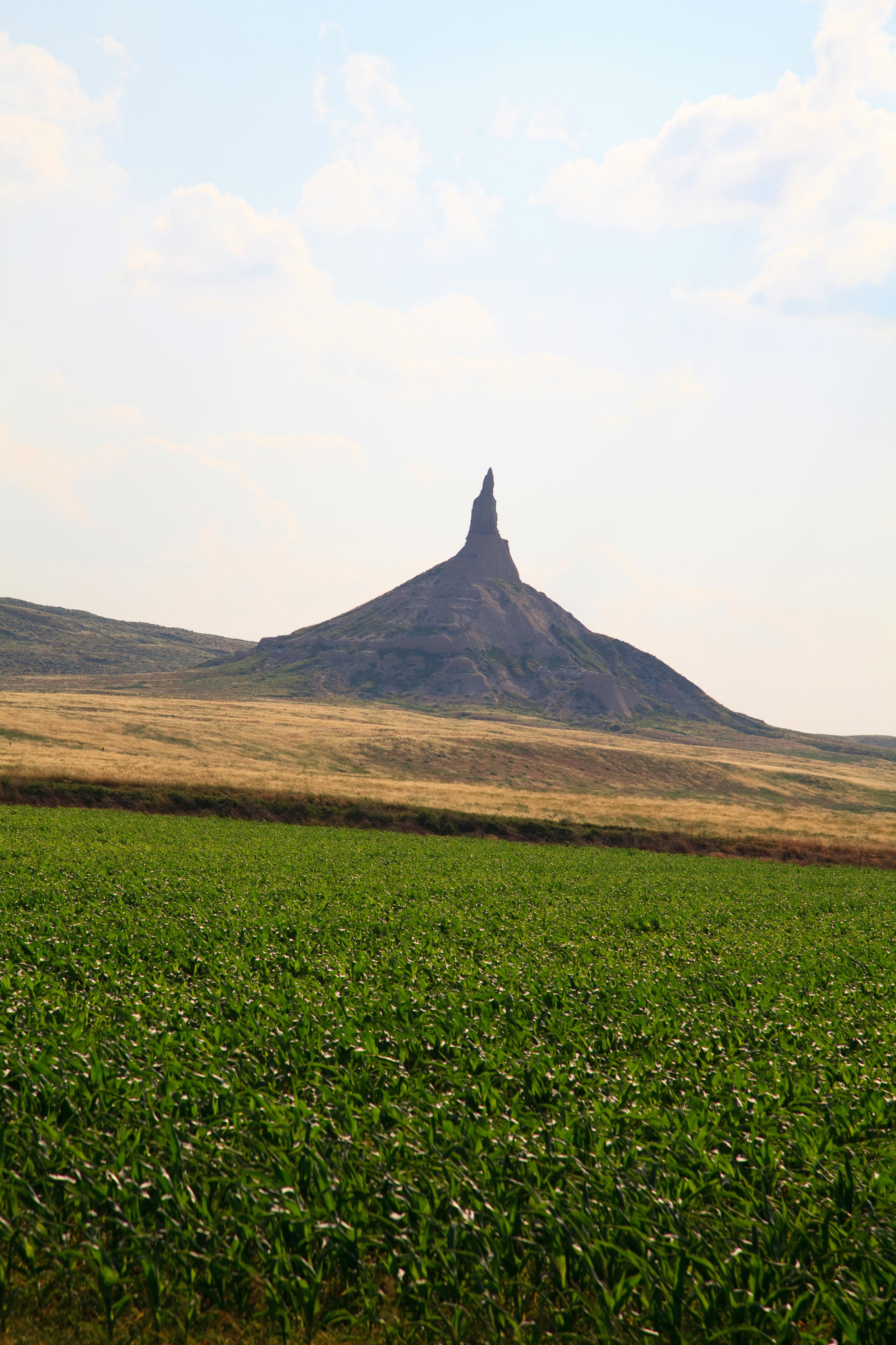
Chimney Rock

Chimney Rock

Castle Rock

Tower of the Plains

Chimney Rock NHS

Chimney Rock Sept '13 4
Chimney Rock, NB

Nebraska Windmill

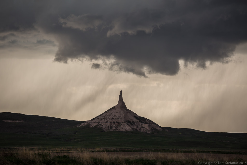
Prairie Storm
Lowering & Chimney Rock
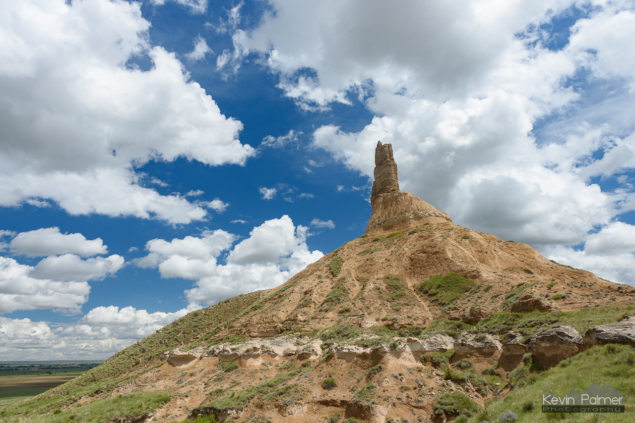
Layers of Chimney Rock

IMG_9009-Edit-Edit

Chimney Rock Redux

Last Light On Chimney
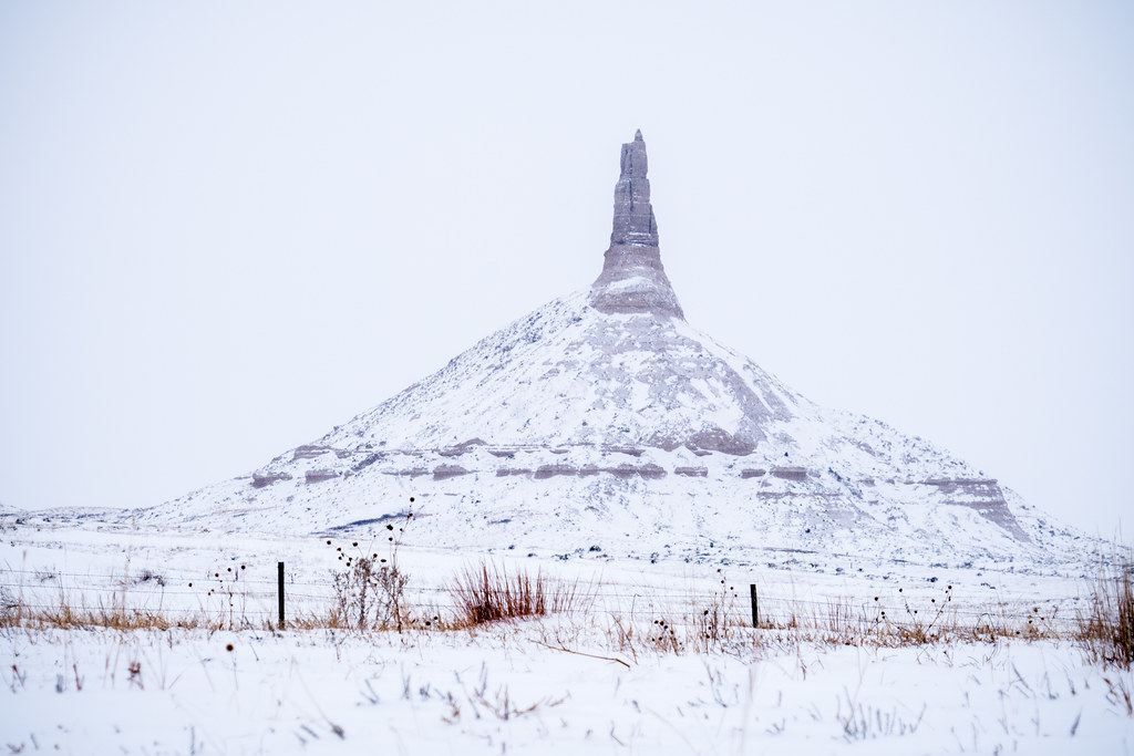
Chimney Rock in the wintertime

Chimney Rock
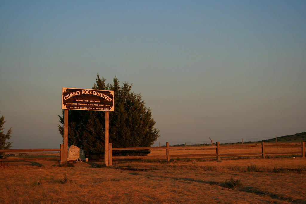
Chimney Rock Cemetery

Chimney Rock
Chimney Rock, NE
Chimney Rock National Historic Site

Looking To Wyoming
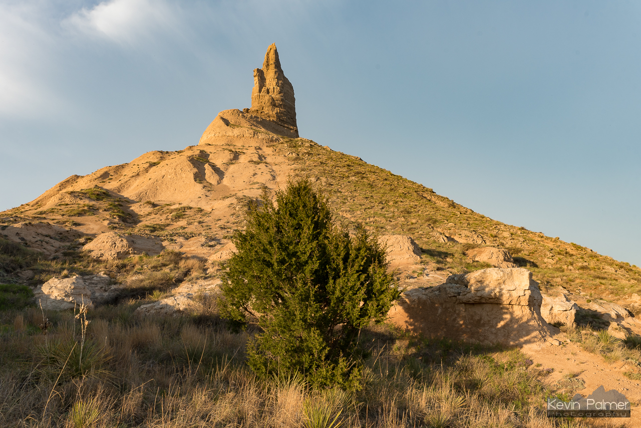
Tree and Chimney Rock
Chimney Rock, NE

Chimney Rock, Nebraska
Topographic Map of Bayard, NE, USA
Find elevation by address:

Places near Bayard, NE, USA:
East Bayard
Road 130
Bentley St, Gering, NE, USA
Melbeta
Castle Rock
West Bayard
West Camp Clarke
Bridgeport
York Dr, Scottsbluff, NE, USA
Scotts Bluff County
East Winters Creek
2100 E Overland
240762 Lake Minatare Rd
Gering
785 L St
795 P St
Gering
Morrill County
Terrytown
56 McGuire St, Gering, NE, USA
Recent Searches:
- Elevation of Corso Fratelli Cairoli, 35, Macerata MC, Italy
- Elevation of Tallevast Rd, Sarasota, FL, USA
- Elevation of 4th St E, Sonoma, CA, USA
- Elevation of Black Hollow Rd, Pennsdale, PA, USA
- Elevation of Oakland Ave, Williamsport, PA, USA
- Elevation of Pedrógão Grande, Portugal
- Elevation of Klee Dr, Martinsburg, WV, USA
- Elevation of Via Roma, Pieranica CR, Italy
- Elevation of Tavkvetili Mountain, Georgia
- Elevation of Hartfords Bluff Cir, Mt Pleasant, SC, USA